Elevation of Hopkins Rd, Murray, KY, USA
Location: United States > Kentucky > Calloway County > Murray >
Longitude: -88.315792
Latitude: 36.7256812
Elevation: 154m / 505feet
Barometric Pressure: 99KPa
Elevation Map:
Satellite Map:
Related Photos:
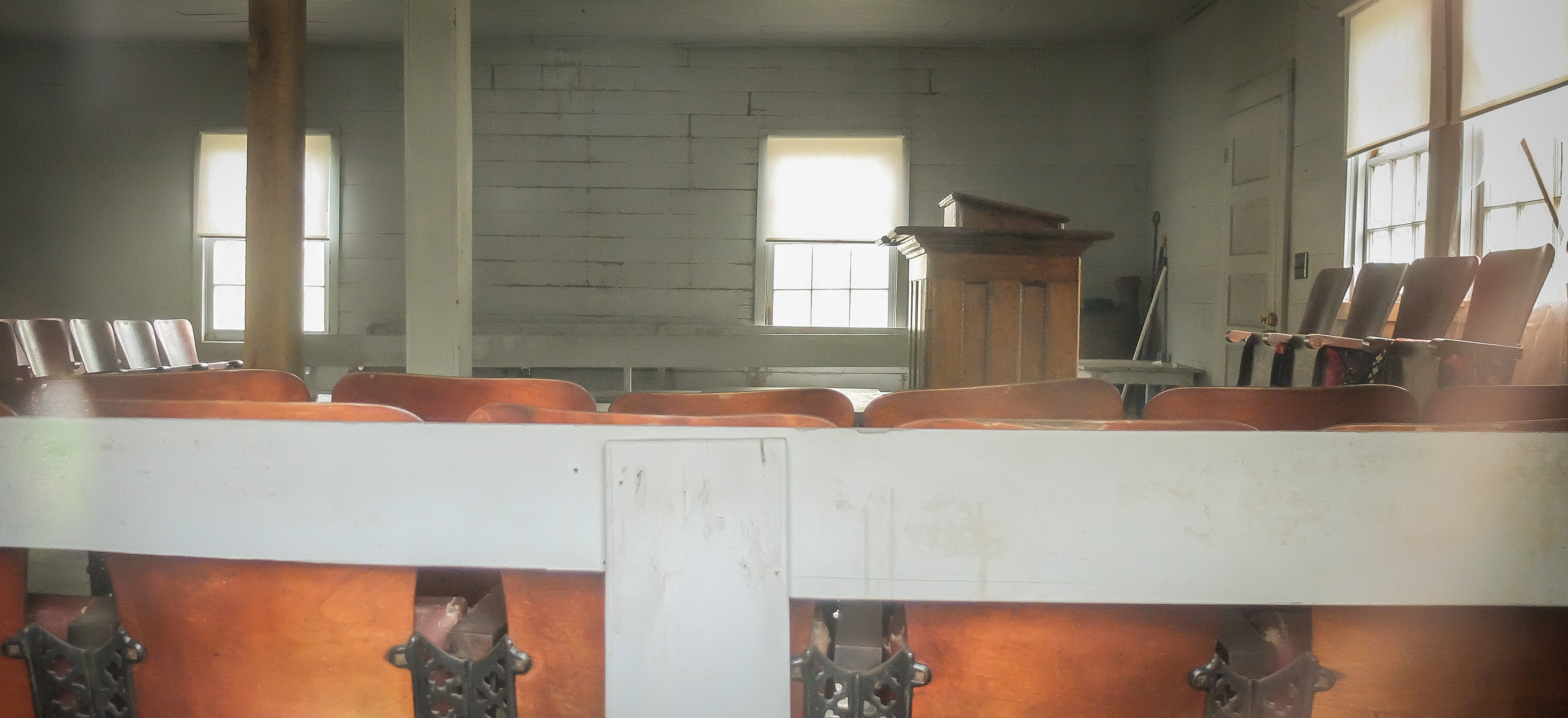
Soldier Creek Church Interior

Garden Kenlake Hotel - Hardin, Kentucky

Another view of the head
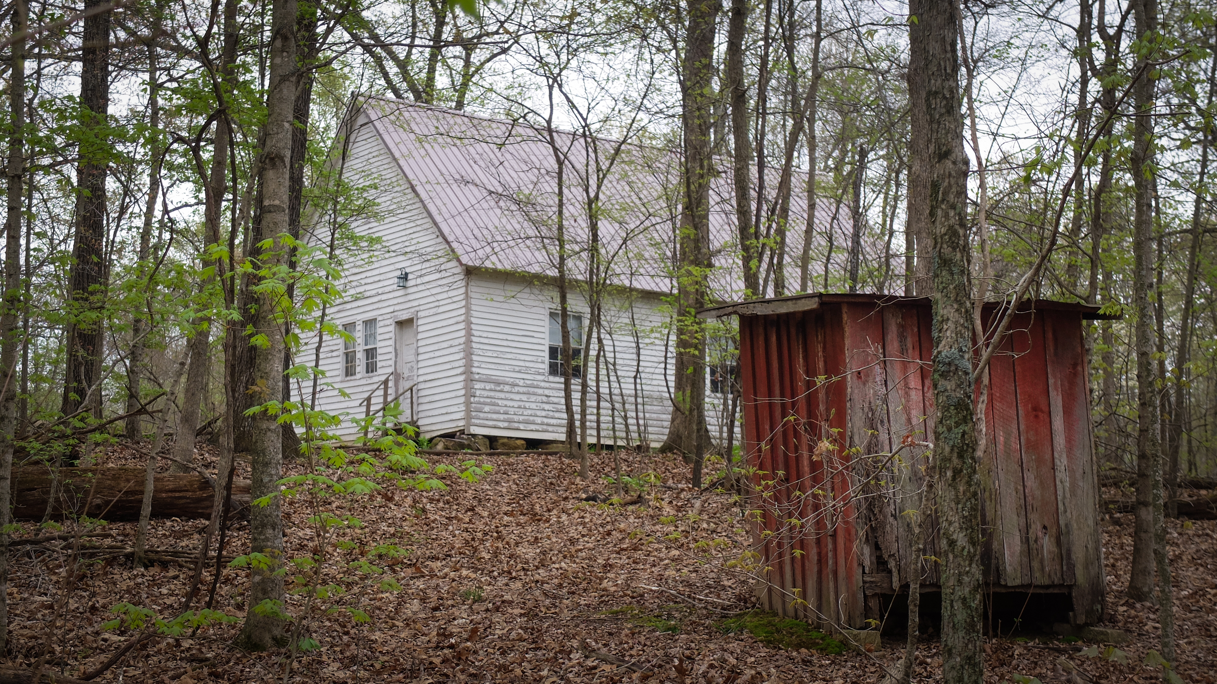
Soldier Creek Church_Color

Church in the Woods_BW
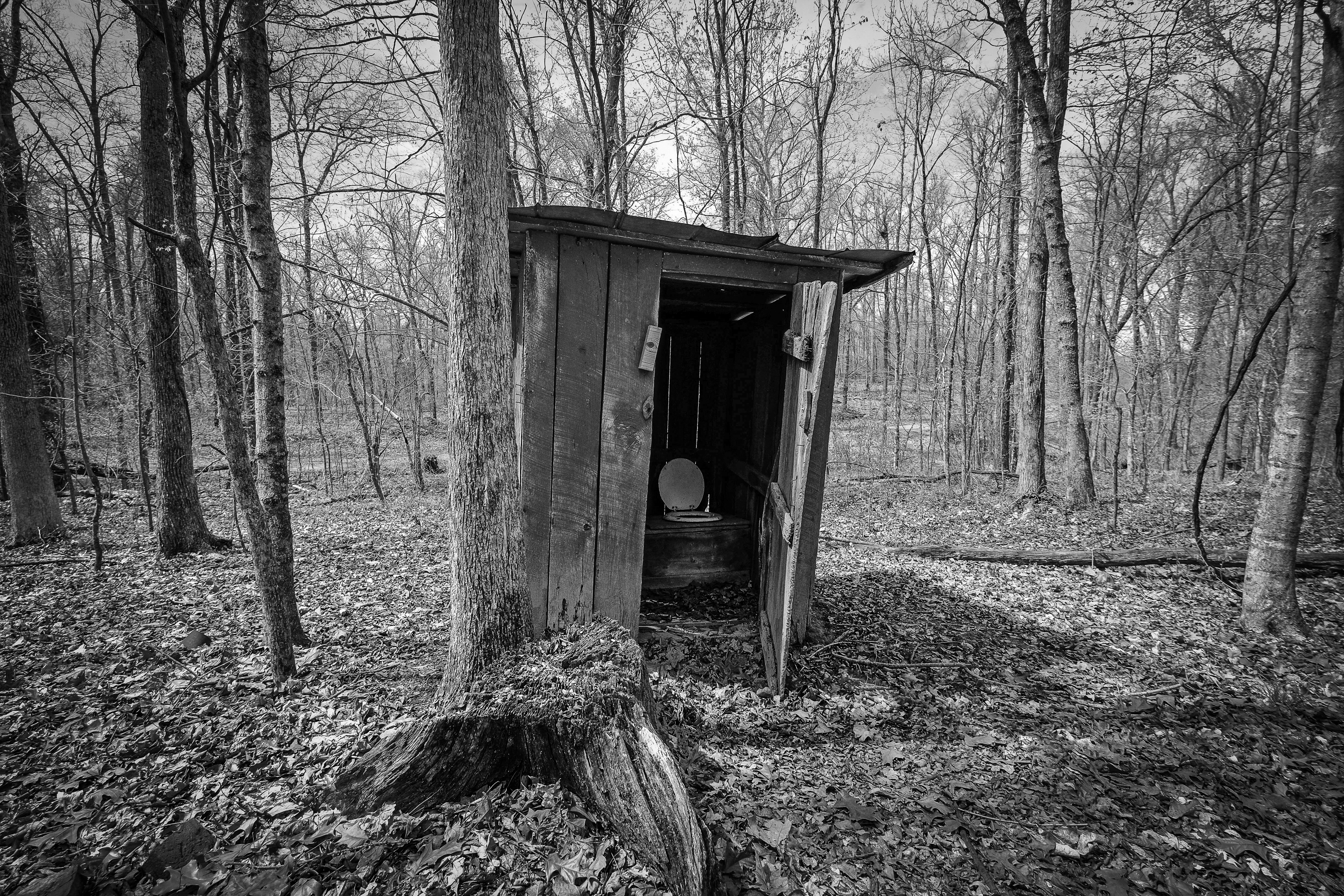
Soldier Creek Outhouse_BW

Glory,Glory,

Dusk at Kentucky Lake

Behind Closed Clouds !

Lake Barkley Flood May 2010

Winter woods.

At The End Of The Road !

The End Of The Road!
Topographic Map of Hopkins Rd, Murray, KY, USA
Find elevation by address:

Places near Hopkins Rd, Murray, KY, USA:
1494 Pleasant Hill Dr
Almo Rd, Almo, KY, USA
4th St, Hardin, KY, USA
Hardin
169 North Dr
Almo
Kirksey
95 Dogwood Ln, Kirksey, KY, USA
Calloway County
1415 Lowes Dr
Dr. James R. Wells Iii, Dmd
Murray State University
1361 Almo-shiloh Rd
701 Olive St
Murray
Main St, Murray, KY, USA
Briggs & Stratton
183 Championship Ln
KY-94, Almo, KY, USA
183 Championship Ln
Recent Searches:
- Elevation of Hercules Dr, Colorado Springs, CO, USA
- Elevation of Szlak pieszy czarny, Poland
- Elevation of Griffing Blvd, Biscayne Park, FL, USA
- Elevation of Kreuzburger Weg 13, Düsseldorf, Germany
- Elevation of Gateway Blvd SE, Canton, OH, USA
- Elevation of East W.T. Harris Boulevard, E W.T. Harris Blvd, Charlotte, NC, USA
- Elevation of West Sugar Creek, Charlotte, NC, USA
- Elevation of Wayland, NY, USA
- Elevation of Steadfast Ct, Daphne, AL, USA
- Elevation of Lagasgasan, X+CQH, Tiaong, Quezon, Philippines