Elevation of Kirksey, KY, USA
Location: United States > Kentucky > Calloway County >
Longitude: -88.395621
Latitude: 36.6984886
Elevation: 169m / 554feet
Barometric Pressure: 99KPa
Elevation Map:
Satellite Map:
Related Photos:
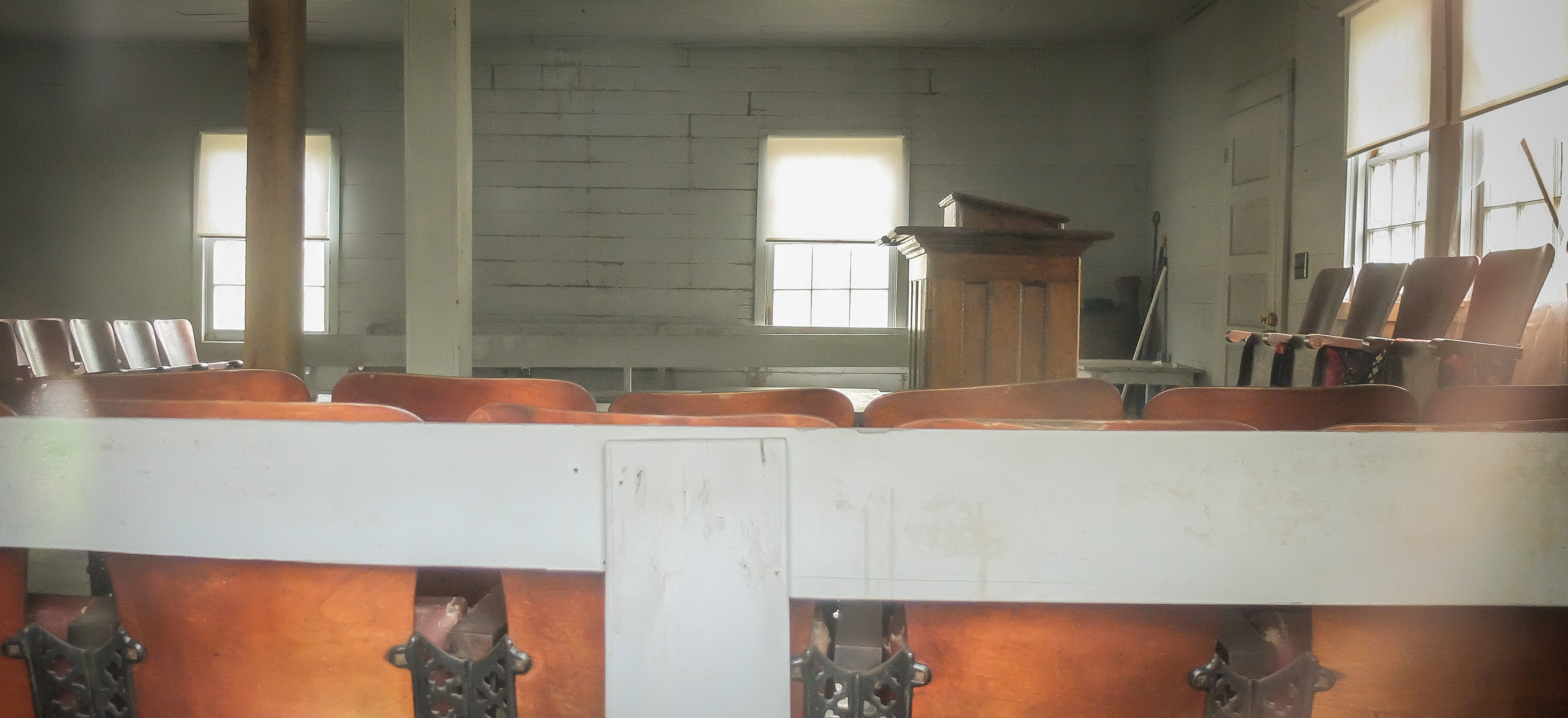
Soldier Creek Church Interior

Another view of the head
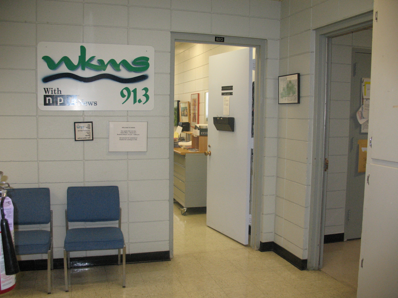
Entrance area to WKMS
Soldier Creek Church_Color
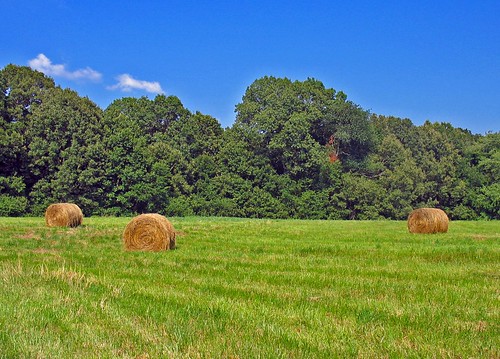
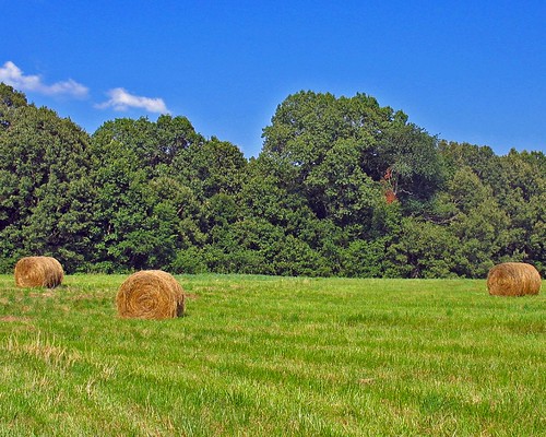
Golden bales
4:41 PM
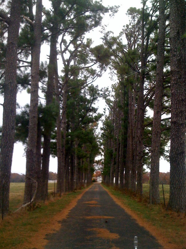
Old Country Road

Overgrowth 2

Winter woods.

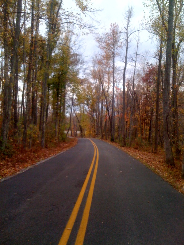
At The End Of The Road !

At The End Of Roard
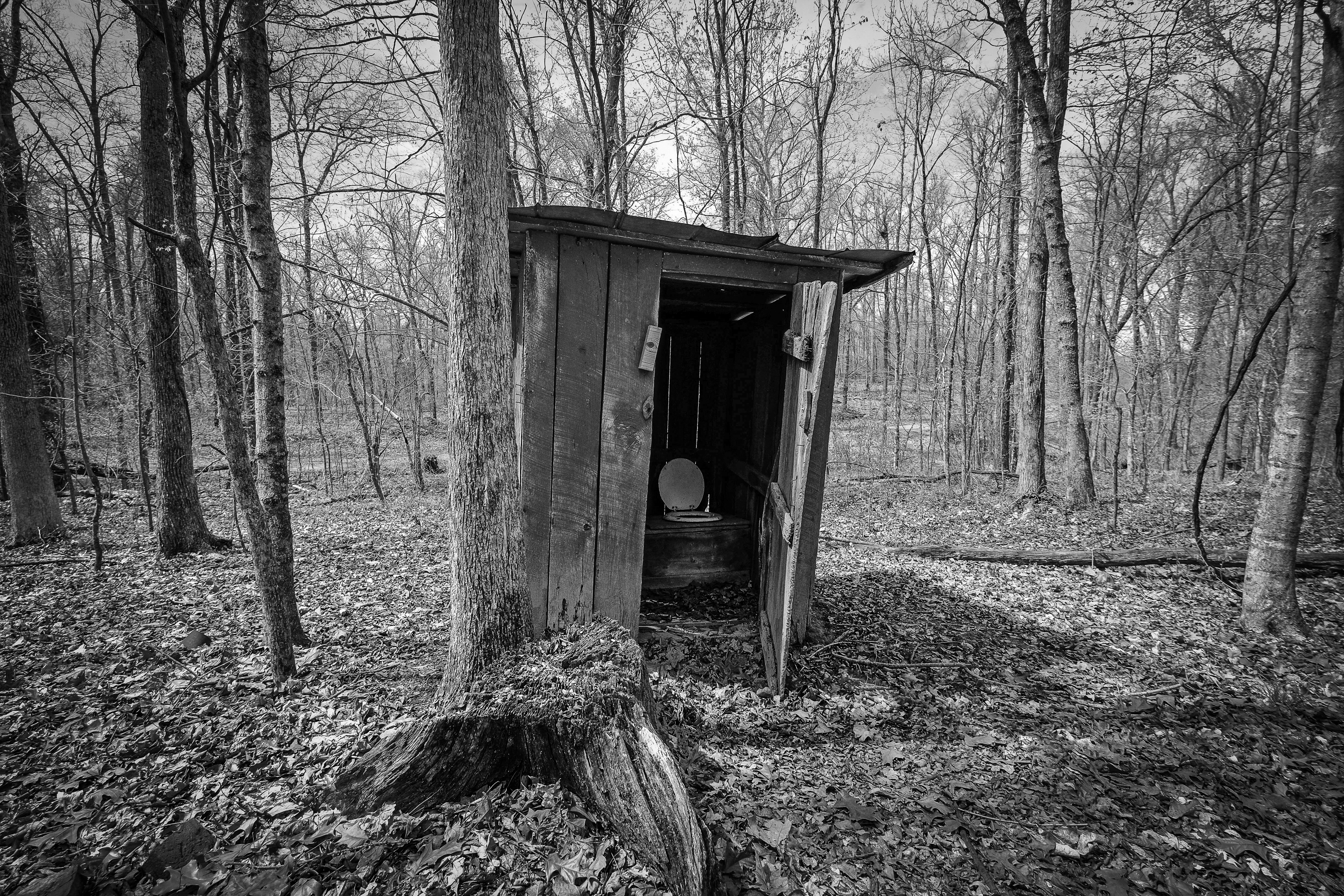
Soldier Creek Outhouse_BW
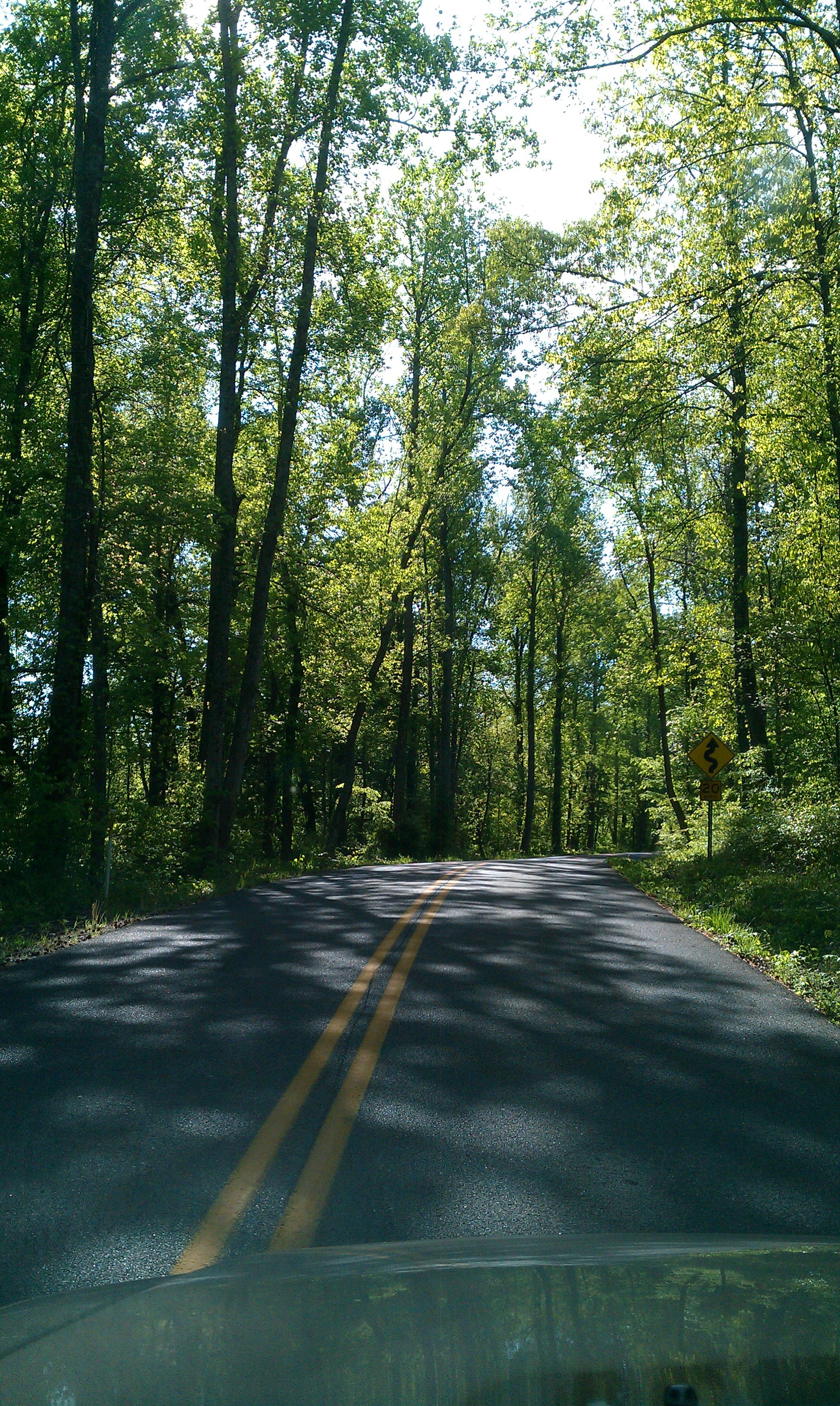
ALL THE WAY GOOD
The End Of The Road!
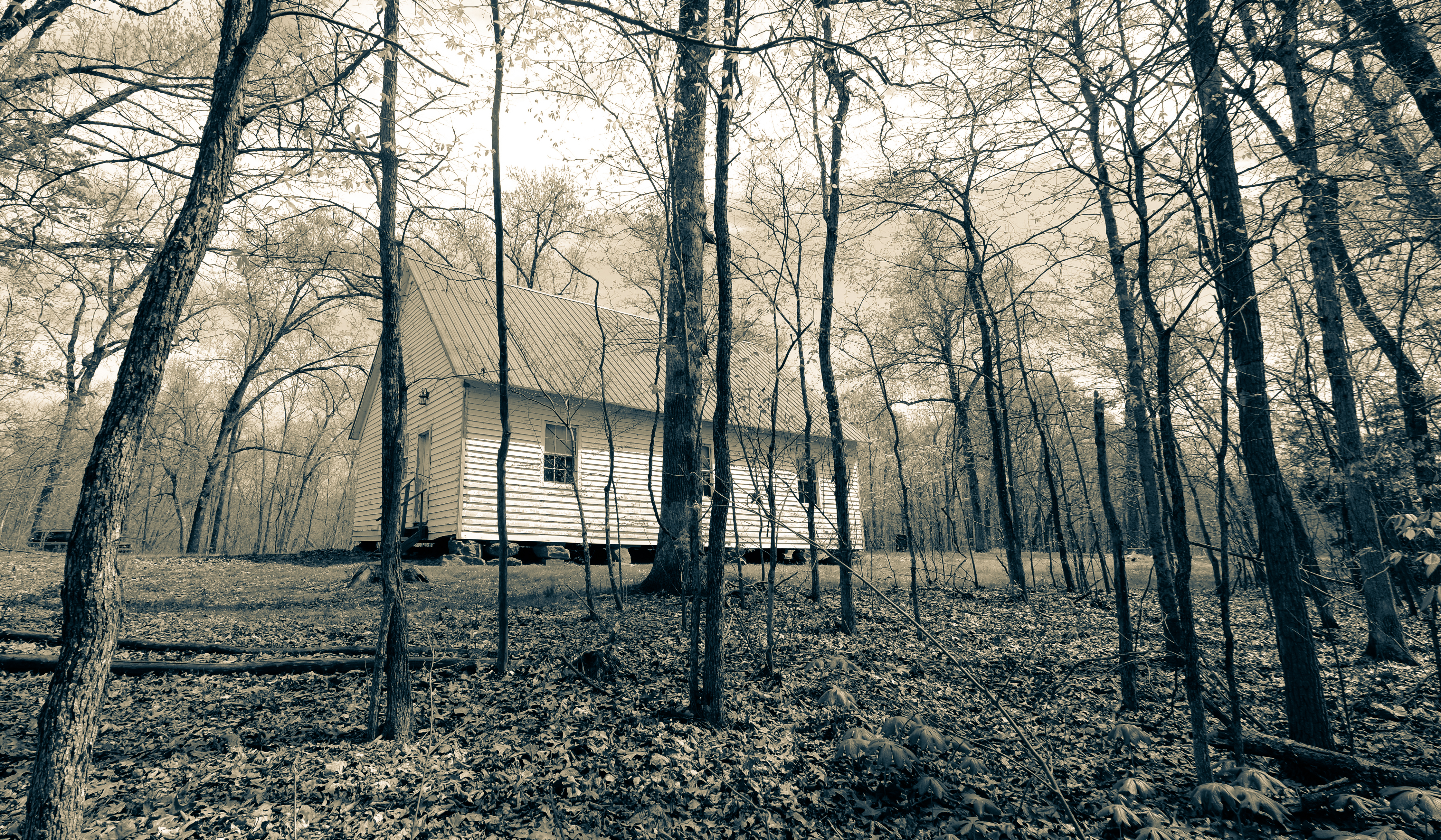
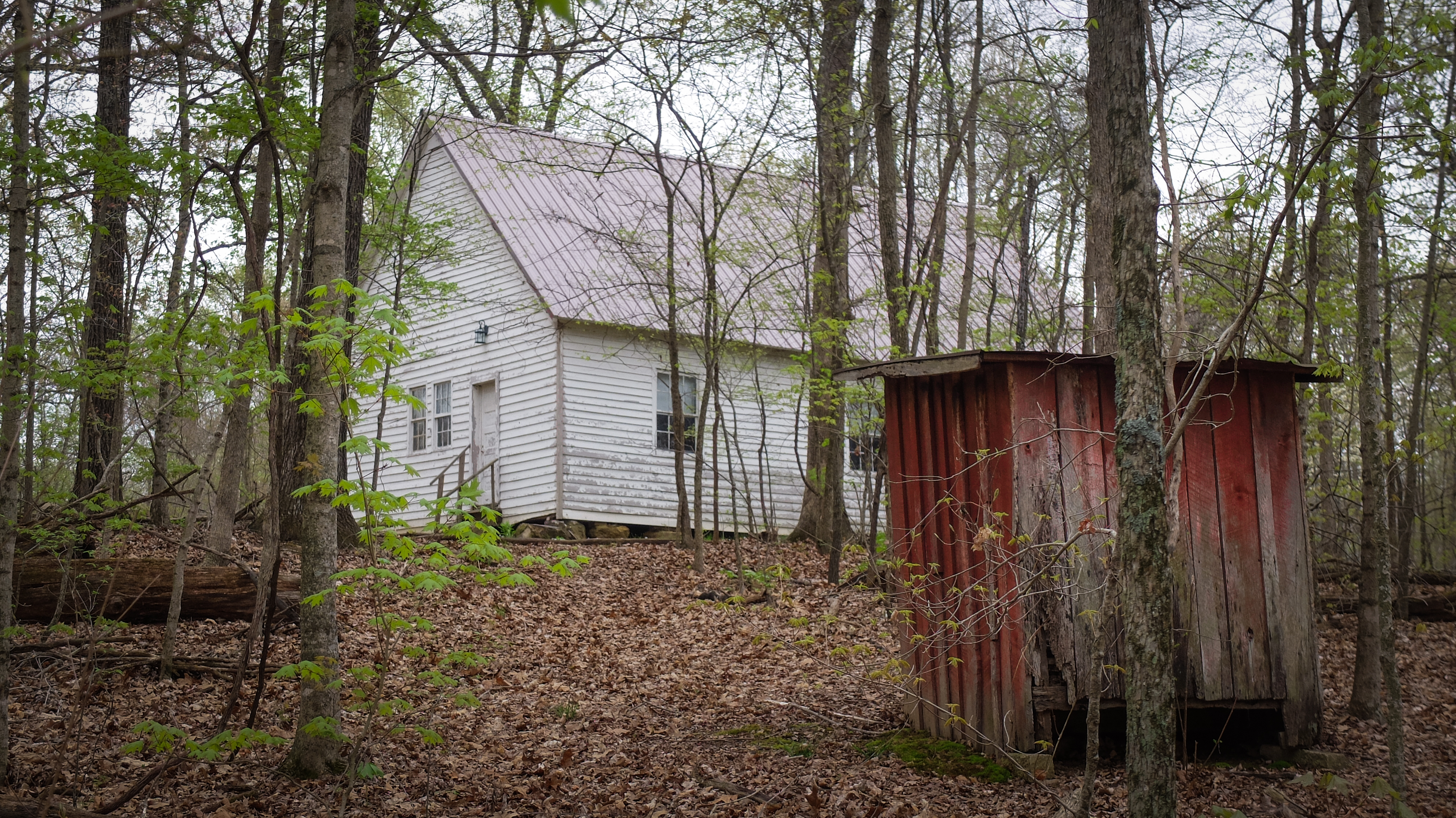
Church in the Woods_BW

KY Tobacco Barn_BW
Topographic Map of Kirksey, KY, USA
Find elevation by address:

Places in Kirksey, KY, USA:
Places near Kirksey, KY, USA:
95 Dogwood Ln, Kirksey, KY, USA
169 North Dr
1777 Hopkins Rd
Almo Rd, Almo, KY, USA
Dr. James R. Wells Iii, Dmd
98 Riley Cemetery Ln, Mayfield, KY, USA
1494 Pleasant Hill Dr
1415 Lowes Dr
263 Mullins Ln
Murray State University
Almo
Murray
Main St, Murray, KY, USA
4th St, Hardin, KY, USA
Hardin
701 Olive St
Calloway County
Briggs & Stratton
1508 London Dr
138 Fairway Dr
Recent Searches:
- Elevation of Snake Hill Rd, North Scituate, RI, USA
- Elevation of Lake Shore Dr, Warwick, RI, USA
- Elevation of E Brightview Ave, Pittsburgh, PA, USA
- Elevation of Cavendish Rd, Harringay Ladder, London N4 1RR, UK
- Elevation of 1 Zion Park Blvd, Springdale, UT, USA
- Elevation of Ganderbal
- Elevation map of Konkan Division, Maharashtra, India
- Elevation of Netaji Nagar, Hallow Pul, Kurla, Mumbai, Maharashtra, India
- Elevation of Uralsk, Kazakhstan
- Elevation of 45- Kahana Dr, Honokaa, HI, USA