Elevation of Muniz Freire - State of Espírito Santo, Brazil
Location: Brazil > State Of Espírito Santo >
Longitude: -41.401196
Latitude: -20.400043
Elevation: 558m / 1831feet
Barometric Pressure: 95KPa
Elevation Map:
Satellite Map:
Related Photos:

Muniz Freire - ES

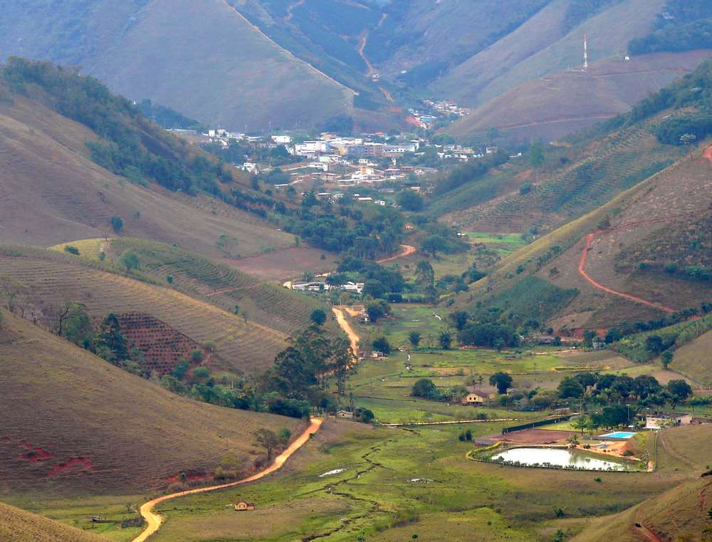
Panorâmica montanhas

PÔR-DO-SOL

Grande árvore

PÔR-DO-SOL

Árvore

Pôr-do-Sol

Nascer do Sol

Sanhaçu-cinzento (Tangara sayaca)

Sobre o Rio

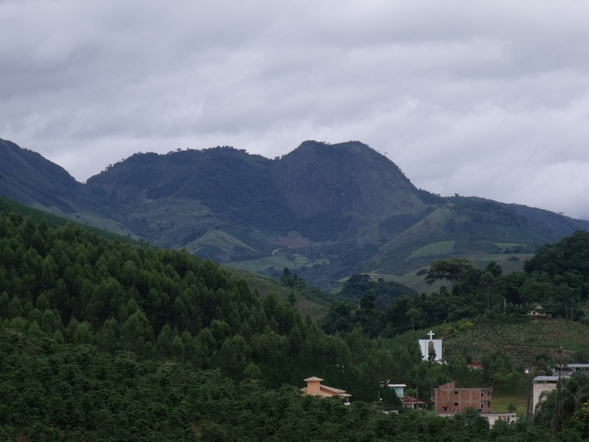
Pedra do Pangarito
muniz (2)

Ao Entardecer

Piaçu - ES

Córrego

Córrego

Piaçu - ES

Flor de funcho

Flor de Funcho
piaçu

Árvores Mortas
Topographic Map of Muniz Freire - State of Espírito Santo, Brazil
Find elevation by address:

Places in Muniz Freire - State of Espírito Santo, Brazil:
Places near Muniz Freire - State of Espírito Santo, Brazil:
Piaçu
Muniz Freire
Iúna
2-64
Pró Mora Ii
Ibatiba
Irupi
Irupi
Caparaó
Lajinha
Ibitirama
Parque Nacional Do Caparaó
Durandé
R. Jorino Antônio Paulo Muruce, 2, Porciúncula - RJ, -, Brazil
2-44
Carangola
Condomínio Do Edifício Uniao
Porciúncula
Recent Searches:
- Elevation of 24 Oakland Rd #, Scotland, ON N0E 1R0, Canada
- Elevation of Deep Gap Farm Rd E, Mill Spring, NC, USA
- Elevation of Dog Leg Dr, Minden, NV, USA
- Elevation of Dog Leg Dr, Minden, NV, USA
- Elevation of Kambingan Sa Pansol Atbp., Purok 7 Pansol, Candaba, Pampanga, Philippines
- Elevation of Pinewood Dr, New Bern, NC, USA
- Elevation of Mountain View, CA, USA
- Elevation of Foligno, Province of Perugia, Italy
- Elevation of Blauwestad, Netherlands
- Elevation of Bella Terra Blvd, Estero, FL, USA