Elevation of Muniz Freire, ES, Brazil
Location: Brazil > State Of Espírito Santo > Muniz Freire >
Longitude: -41.416022
Latitude: -20.465676
Elevation: 603m / 1978feet
Barometric Pressure: 94KPa
Elevation Map:
Satellite Map:
Related Photos:

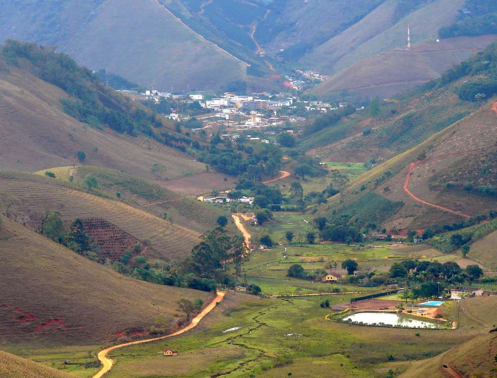
Muniz Freire - ES

Panorâmica montanhas

PÔR-DO-SOL

Grande árvore

PÔR-DO-SOL

Árvore

Pôr-do-Sol

Sanhaçu-cinzento (Tangara sayaca)

Sobre o Rio

Pedra do Pangarito
muniz (2)

Ao Entardecer

Piaçu - ES

Córrego

Córrego

Piaçu - ES

Flor de funcho

Flor de Funcho

Árvores Mortas
Topographic Map of Muniz Freire, ES, Brazil
Find elevation by address:

Places near Muniz Freire, ES, Brazil:
Muniz Freire
Piaçu
Iúna
Irupi
Ibatiba
Pró Mora Ii
2-64
Irupi
Caparaó
Ibitirama
Parque Nacional Do Caparaó
Lajinha
Durandé
R. Jorino Antônio Paulo Muruce, 2, Porciúncula - RJ, -, Brazil
2-44
Carangola
Condomínio Do Edifício Uniao
Porciúncula
Recent Searches:
- Elevation of Duckhorn Ct, Las Vegas, NV, USA
- Elevation of Garretts Run Rd, Ford City, PA, USA
- Elevation of N WI-55, Freedom, WI, USA
- Elevation map of Hadiya, Ethiopia
- Elevation of Hosaina, Ethiopia
- Elevation of Verde Terrace, North Port, FL, USA
- Elevation of US-, Leesburg, FL, USA
- Elevation of Summit Dr, Kerrville, TX, USA
- Elevation of Hanson Rd, Cedaredge, CO, USA
- Elevation of Maxine St NE, Albuquerque, NM, USA