Elevation of Lajinha - State of Minas Gerais, Brazil
Location: Brazil > State Of Minas Gerais >
Longitude: -41.561242
Latitude: -20.121772
Elevation: 740m / 2428feet
Barometric Pressure: 93KPa
Elevation Map:
Satellite Map:
Related Photos:
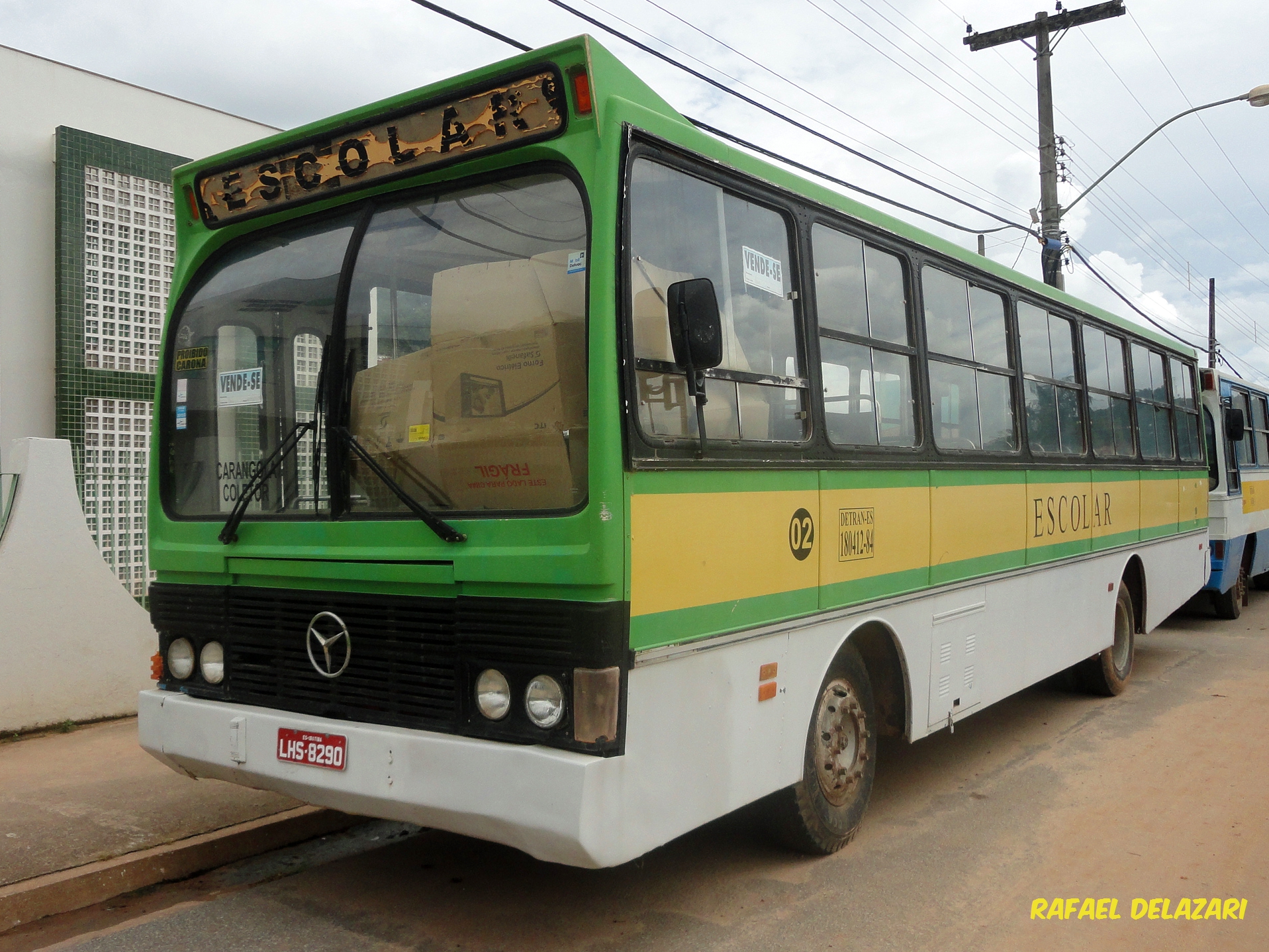
Escolar Ibatiba - 02
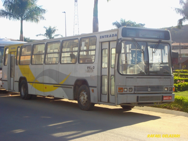
Particular Ex-SE Ibatiba
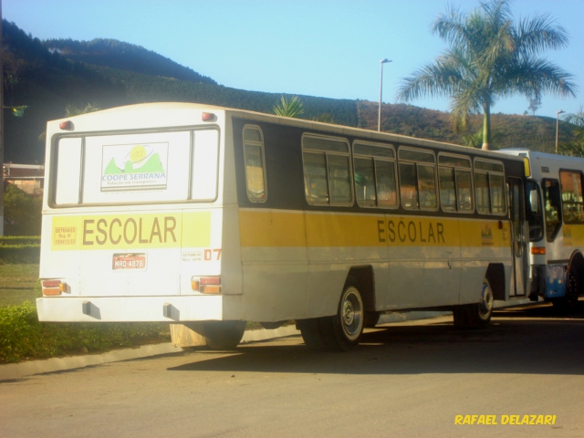
Escolar 07 Ibatiba
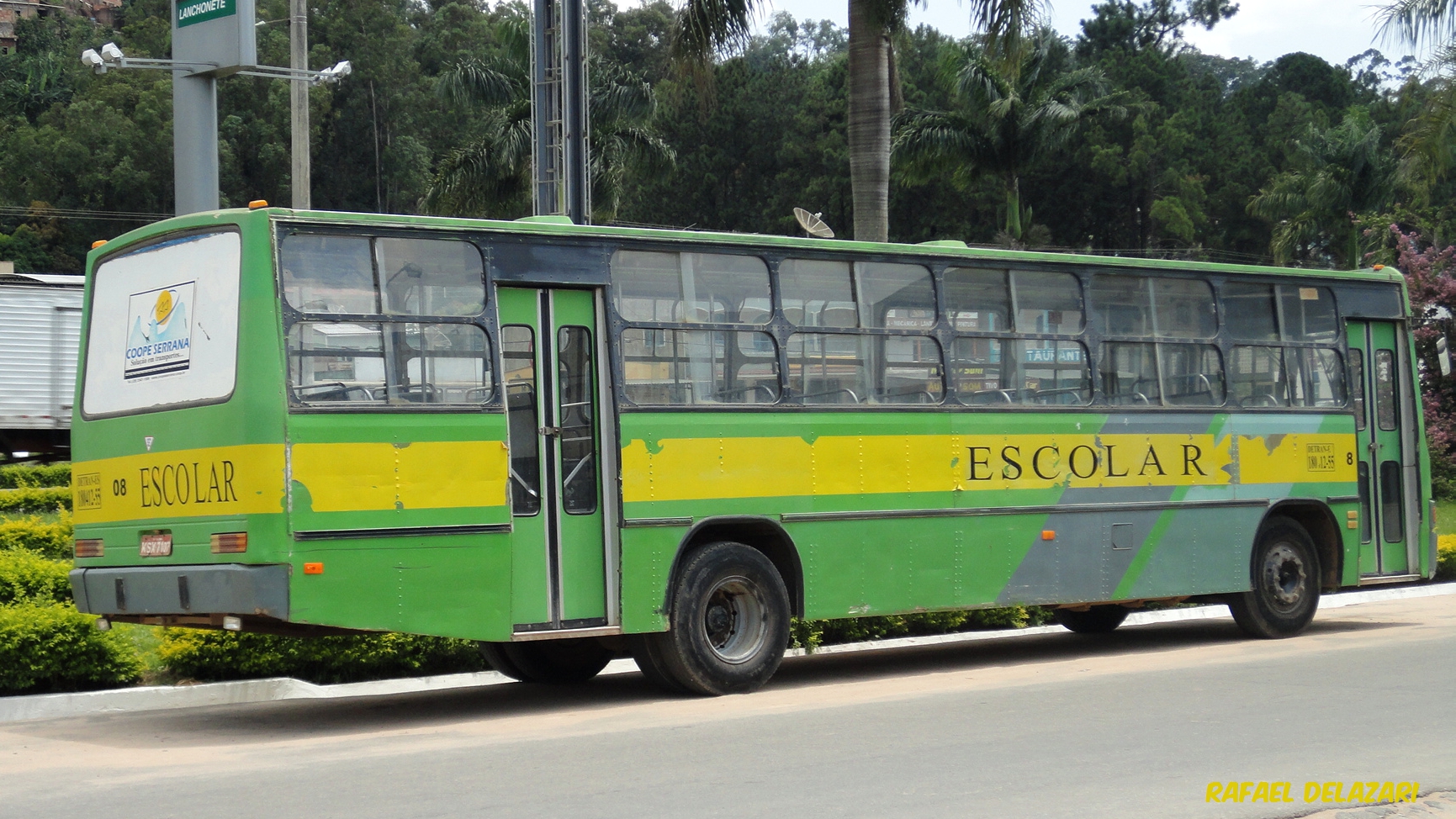
Escolar 08 - Ibatiba
Auto Escola Ibatiba

Eliezer Morais
Topographic Map of Lajinha - State of Minas Gerais, Brazil
Find elevation by address:

Places near Lajinha - State of Minas Gerais, Brazil:
Pró Mora Ii
2-64
Ibatiba
Iúna
Irupi
Irupi
Durandé
Piaçu
Muniz Freire
Muniz Freire
Ibitirama
Parque Nacional Do Caparaó
Caparaó
Carangola
R. Jorino Antônio Paulo Muruce, 2, Porciúncula - RJ, -, Brazil
2-44
Condomínio Do Edifício Uniao
Porciúncula
Recent Searches:
- Elevation of Yellow Springs Road, Yellow Springs Rd, Chester Springs, PA, USA
- Elevation of Rēzekne Municipality, Latvia
- Elevation of Plikpūrmaļi, Vērēmi Parish, Rēzekne Municipality, LV-, Latvia
- Elevation of 2 Henschke Ct, Caboolture QLD, Australia
- Elevation of Redondo Ave, Long Beach, CA, USA
- Elevation of Sadovaya Ulitsa, 20, Rezh, Sverdlovskaya oblast', Russia
- Elevation of Ulitsa Kalinina, 79, Rezh, Sverdlovskaya oblast', Russia
- Elevation of 72-31 Metropolitan Ave, Middle Village, NY, USA
- Elevation of 76 Metropolitan Ave, Brooklyn, NY, USA
- Elevation of Alisal Rd, Solvang, CA, USA