Elevation of MT-13, Vida, MT, USA
Location: United States > Montana > Mccone County > Vida >
Longitude: -105.49213
Latitude: 47.832909
Elevation: 727m / 2385feet
Barometric Pressure: 93KPa
Elevation Map:
Satellite Map:
Related Photos:
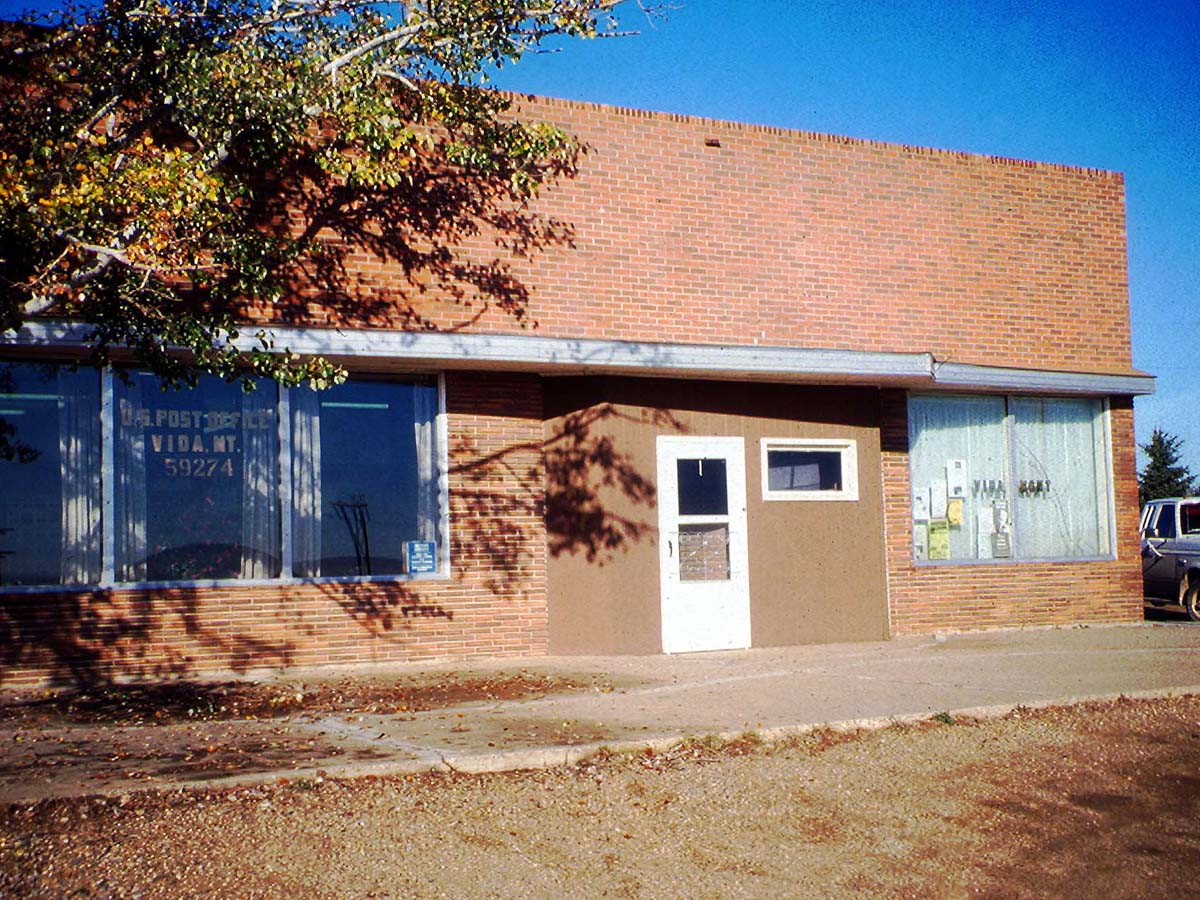
Vida, Montana 59274

2014-12-31 14-22-34 0110

2014-12-31 14-19-11 0108
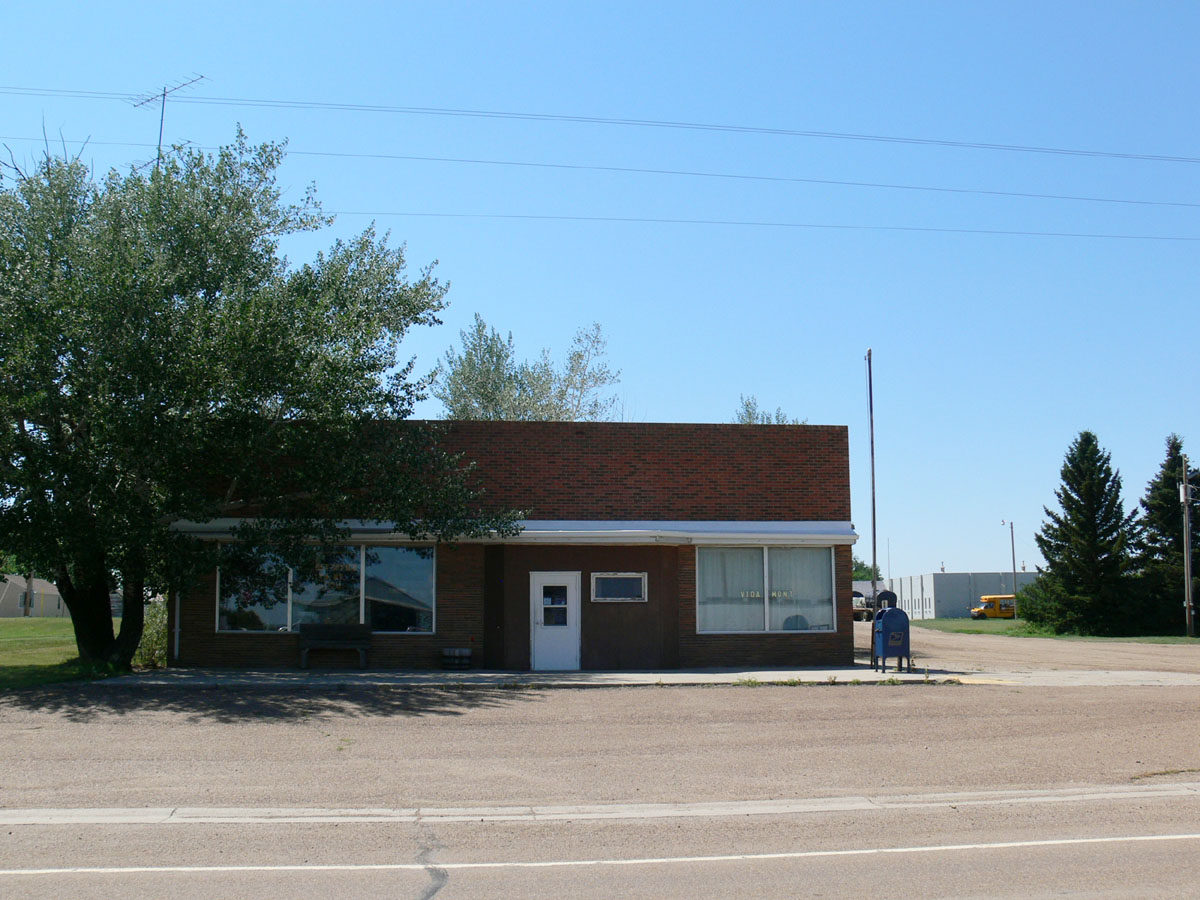
Vida, Montana 59274
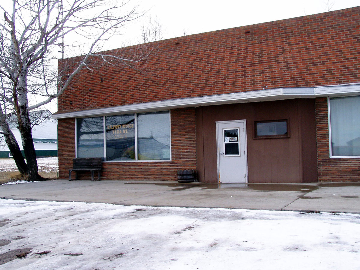
Vida, Montana 59274
Topographic Map of MT-13, Vida, MT, USA
Find elevation by address:

Places near MT-13, Vida, MT, USA:
Vida
Wolf Point
Frazer
1415 Frazer-richland Rd
Oswego Rd N, Frazer, MT, USA
Nashua
552 Nashua Blvd
Daniels County
Fort Peck
224 Fladager Rd
Peerless
Glasgow
1st Ave N, Glasgow, MT, USA
Railroad Ave, Glentana, MT, USA
Shipp Rd, Glasgow, MT, USA
1 Ave S, Coronach, SK S0H 0Z0, Canada
Coronach
MT-24, Nashua, MT, USA
3953 Mt-24
Opheim
Recent Searches:
- Elevation of Tenjo, Cundinamarca, Colombia
- Elevation of Côte-des-Neiges, Montreal, QC H4A 3J6, Canada
- Elevation of Bobcat Dr, Helena, MT, USA
- Elevation of Zu den Ihlowbergen, Althüttendorf, Germany
- Elevation of Badaber, Peshawar, Khyber Pakhtunkhwa, Pakistan
- Elevation of SE Heron Loop, Lincoln City, OR, USA
- Elevation of Slanický ostrov, 01 Námestovo, Slovakia
- Elevation of Spaceport America, Co Rd A, Truth or Consequences, NM, USA
- Elevation of Warwick, RI, USA
- Elevation of Fern Rd, Whitmore, CA, USA