Elevation of Nashua, MT, USA
Location: United States > Montana > Valley County >
Longitude: -106.35642
Latitude: 48.1322422
Elevation: 631m / 2070feet
Barometric Pressure: 94KPa
Elevation Map:
Satellite Map:
Related Photos:
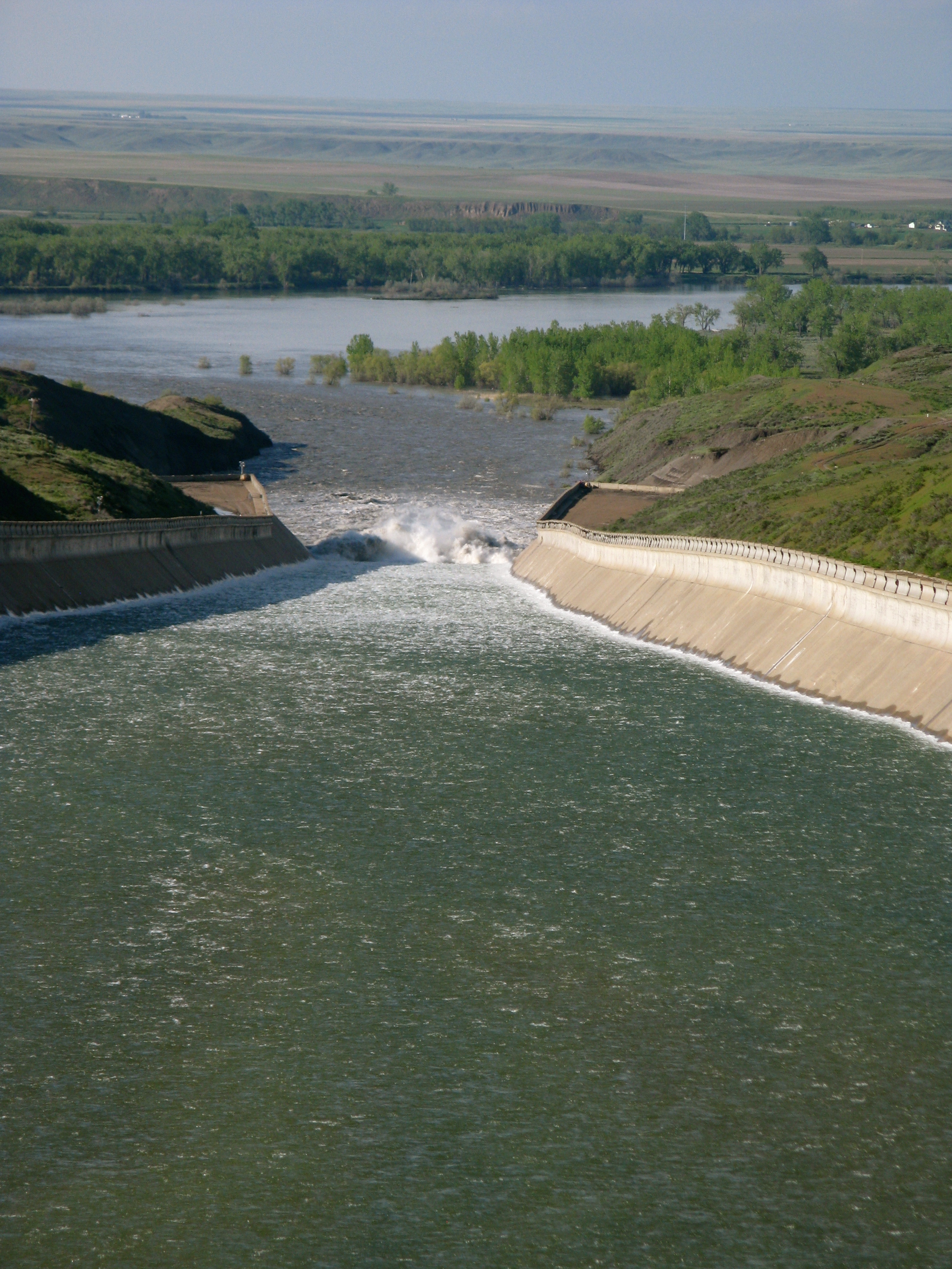
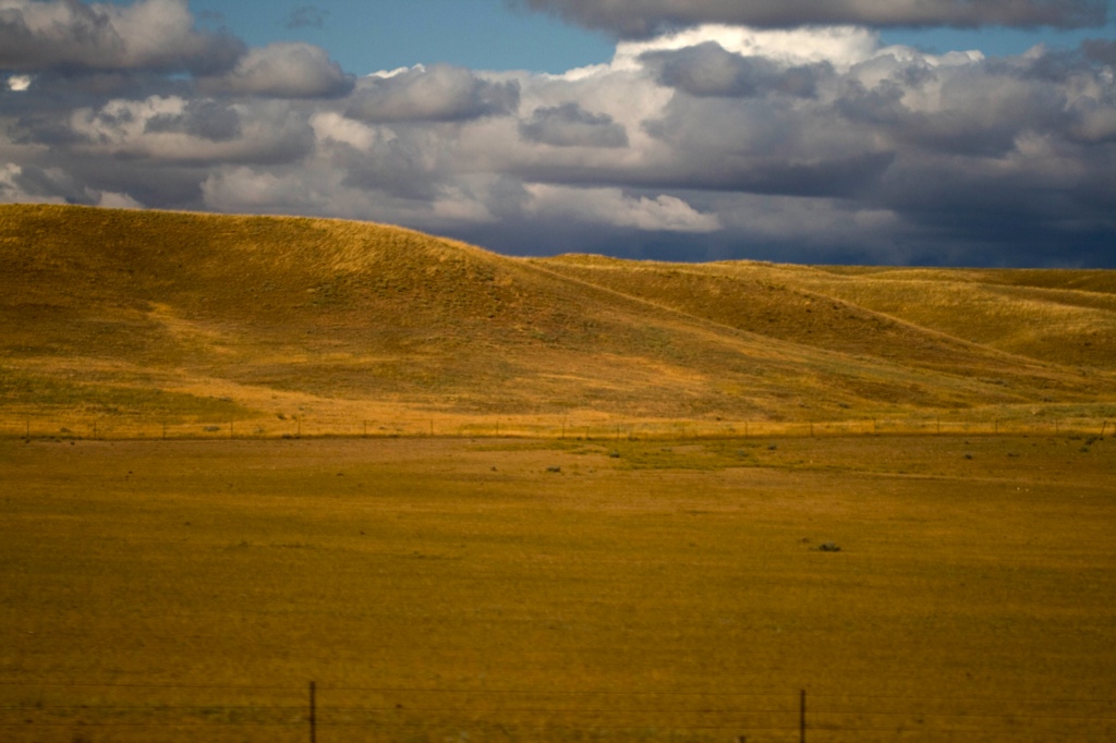
Fort Peck Spillway. Montana
Fort Peck Spillway. Montana
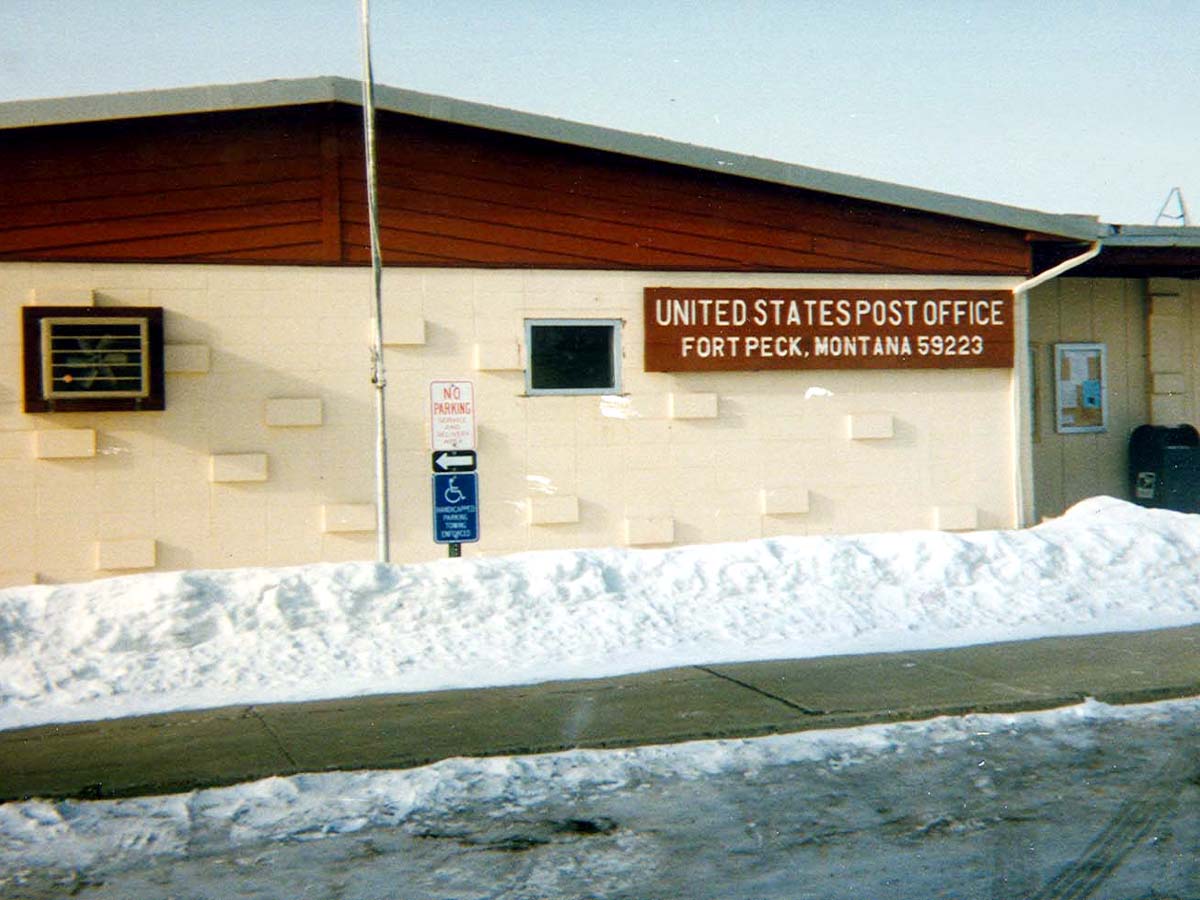
Fort Peck, Montana 59223

Fort Peck Spillway. Montana
Fort Peck Spillway. Montana

Montana Prairie Schooner
Seattle_Train_Trip-172
Here, have some rain...
4 Quadrants
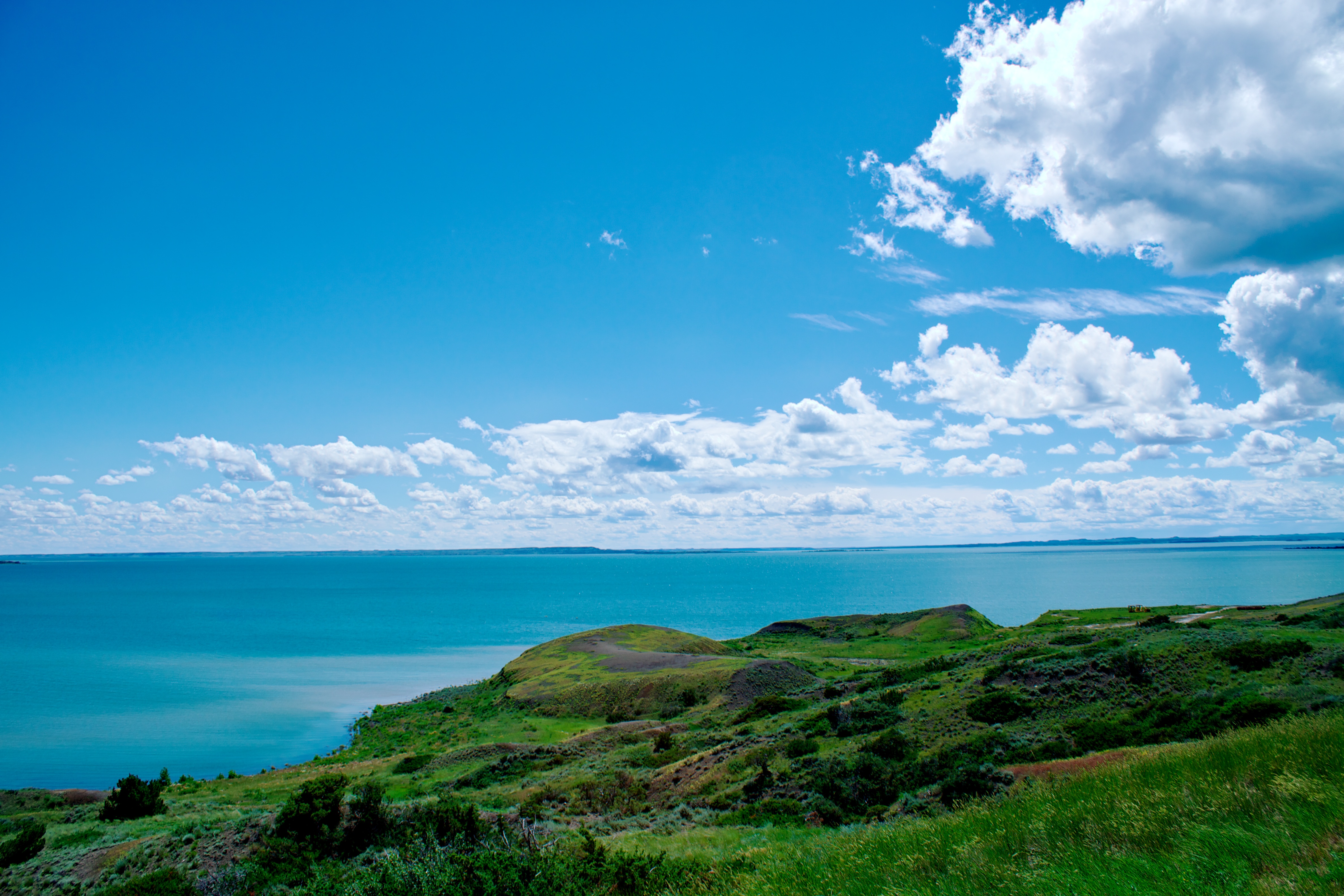
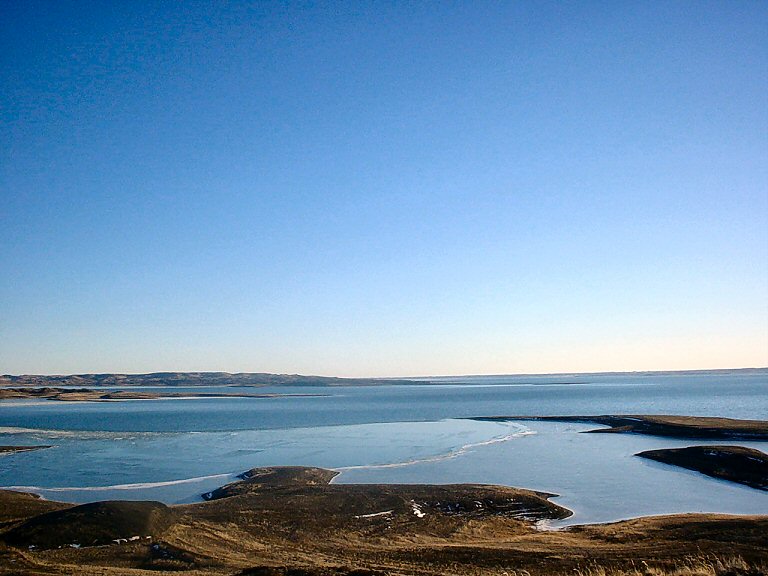
Fort Peck Lake - July 5th, 2010

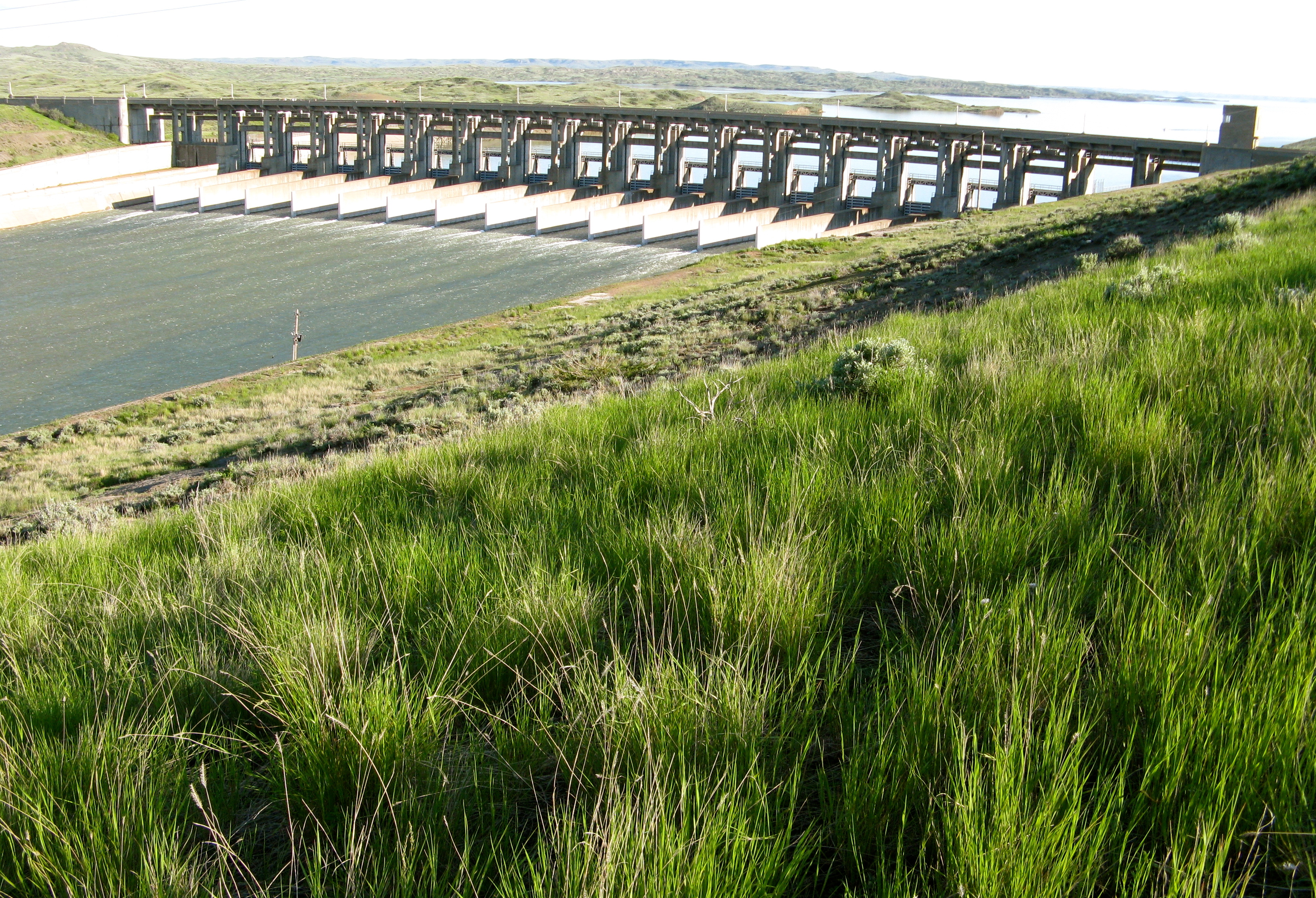
Fort Peck Dam
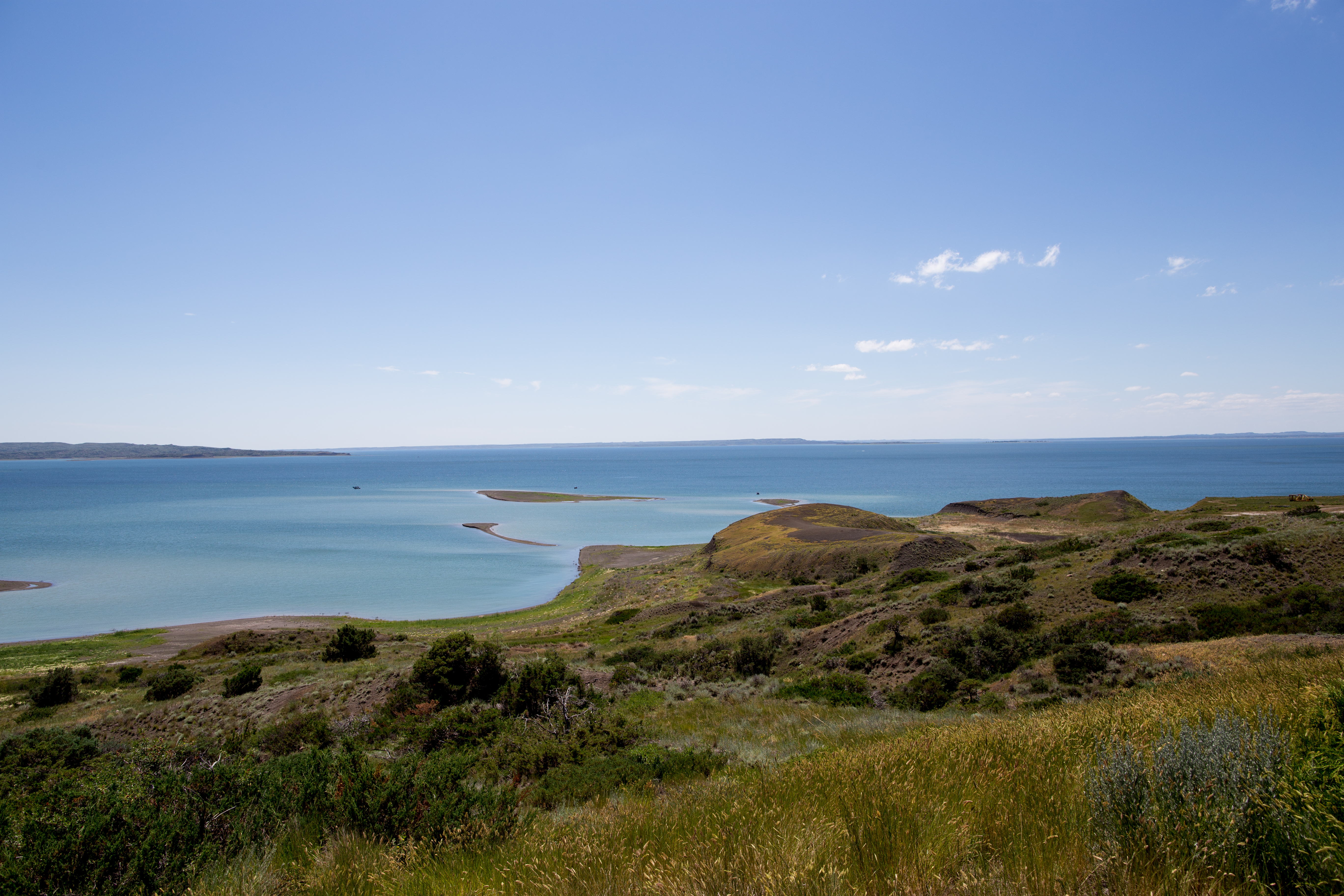
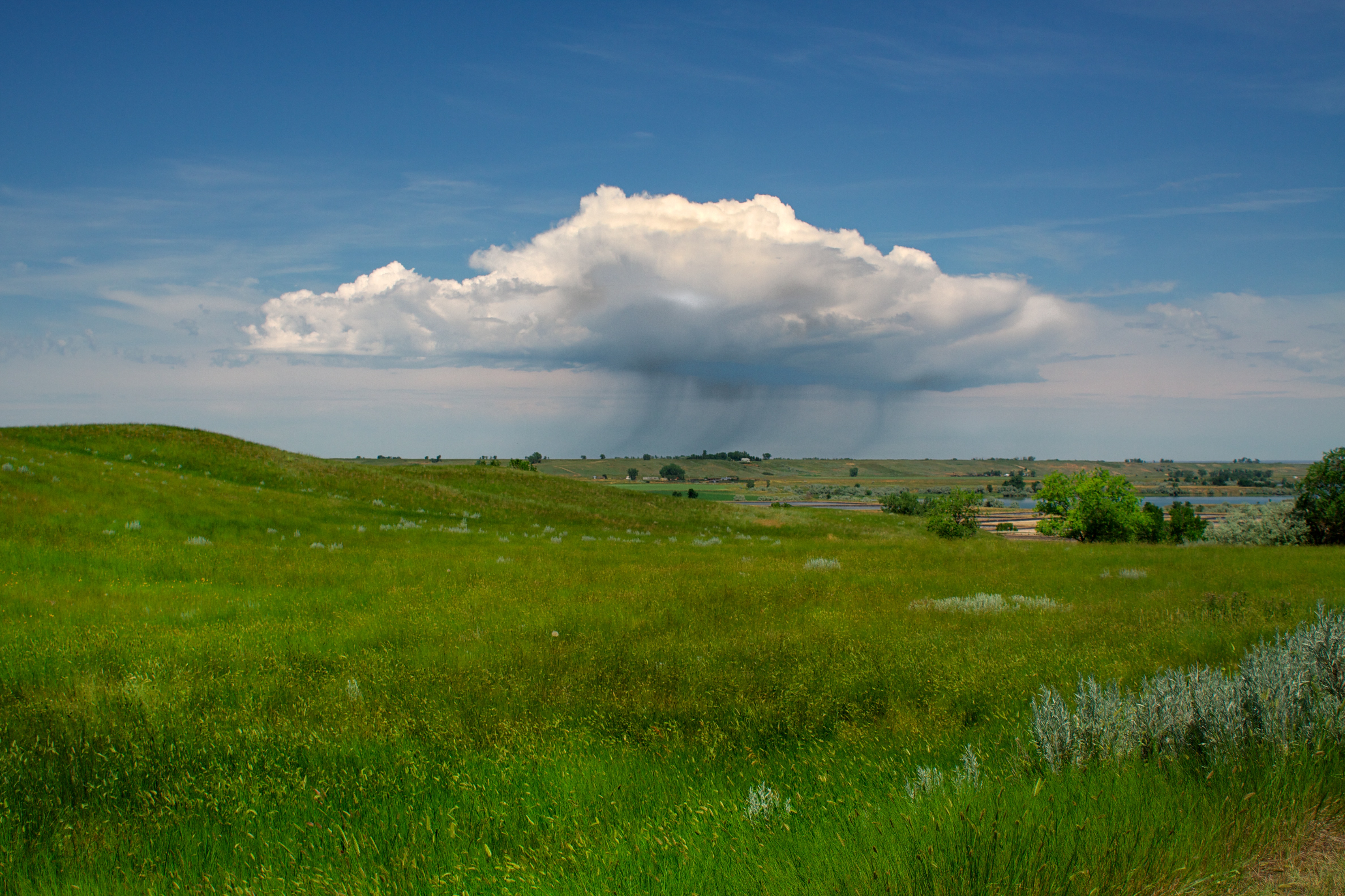
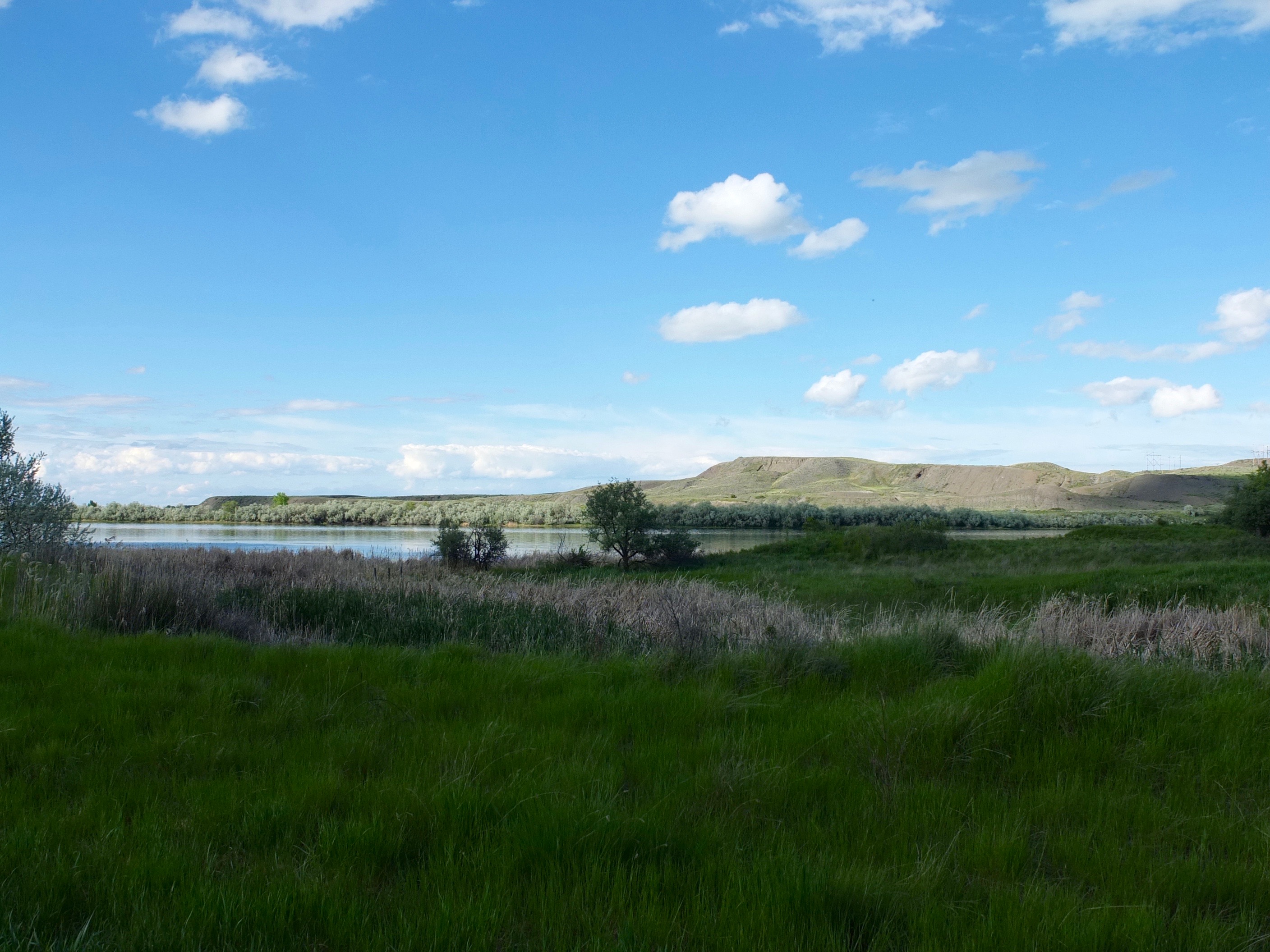
Fort Peck Lake
Fort Peck Reservoir
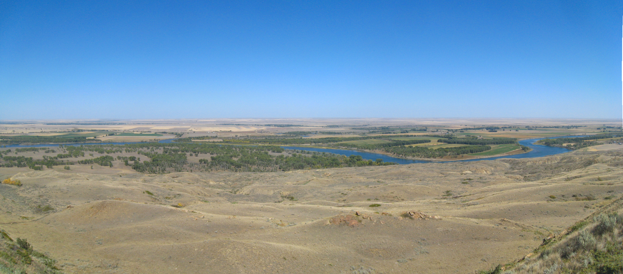
Missouri River
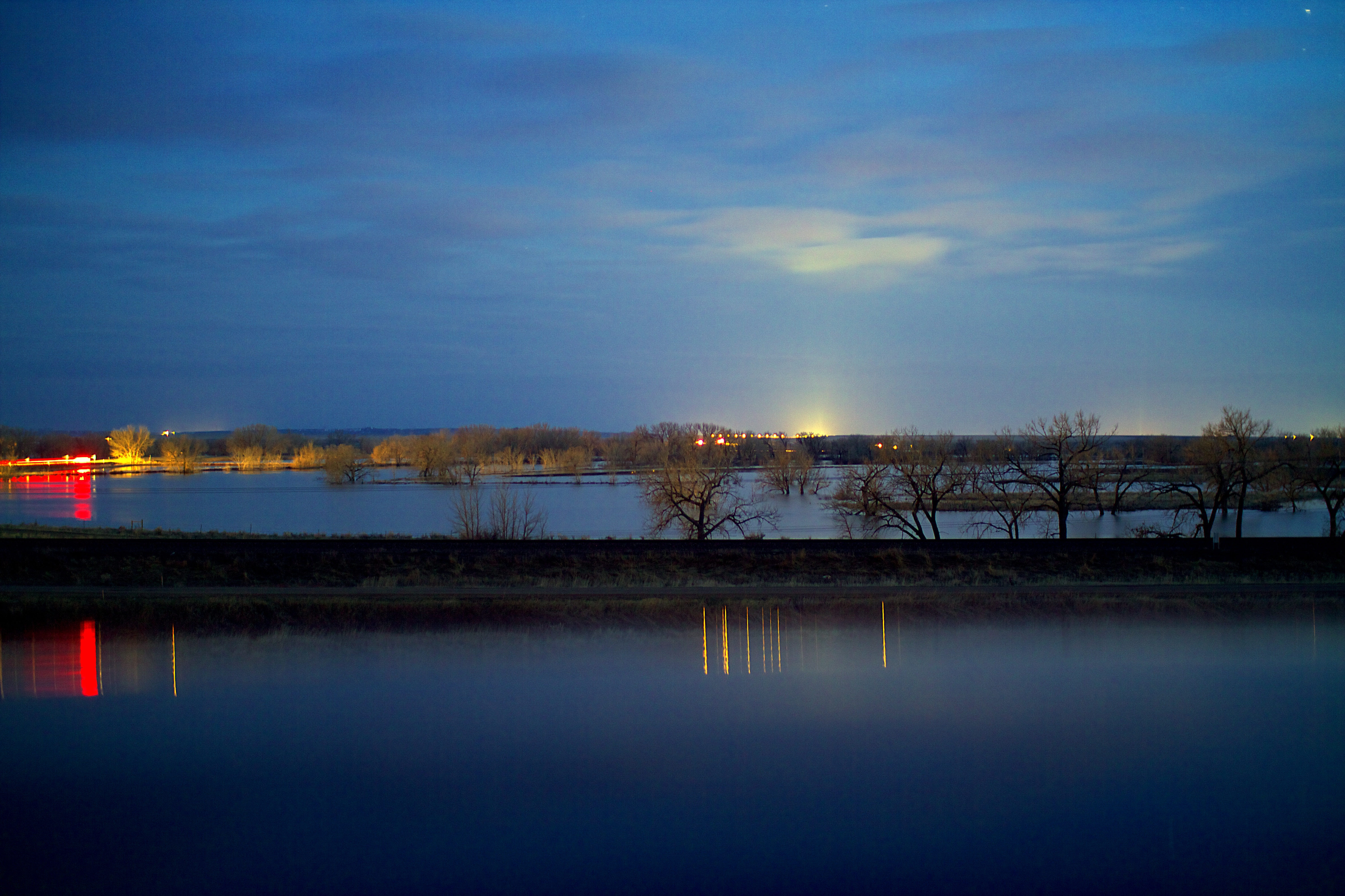
100" inches of snow = spring flooding in Nashua

Fort Peck Dam
Missouri River

Missouri River

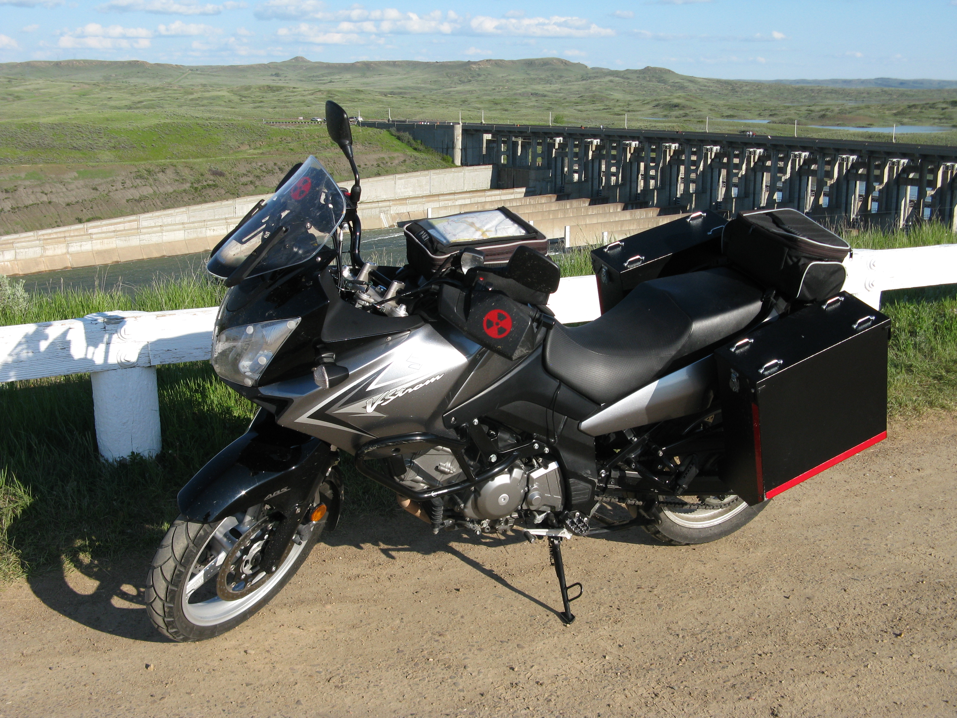
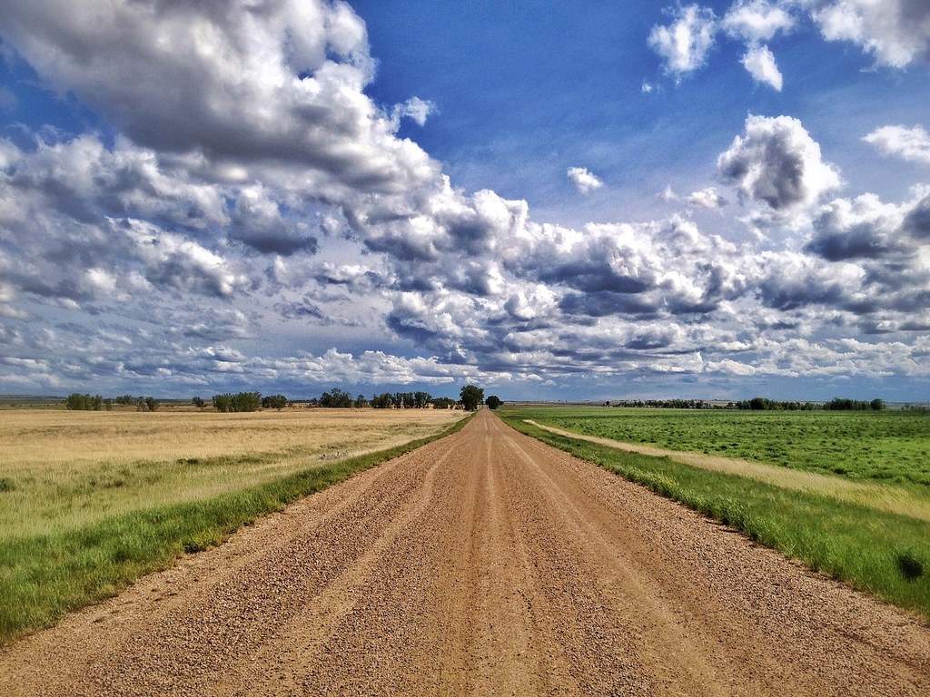
Road Tripping Big Sky Country
Topographic Map of Nashua, MT, USA
Find elevation by address:

Places near Nashua, MT, USA:
552 Nashua Blvd
Fort Peck
Glasgow
1st Ave N, Glasgow, MT, USA
Frazer
Shipp Rd, Glasgow, MT, USA
1415 Frazer-richland Rd
Valley County
Oswego Rd N, Frazer, MT, USA
MT-24, Nashua, MT, USA
3953 Mt-24
Wolf Point
Railroad Ave, Glentana, MT, USA
Opheim
Peerless
224 Fladager Rd
MT-24, Opheim, MT, USA
Daniels County
Vida
MT-13, Vida, MT, USA
Recent Searches:
- Elevation of Elwyn Dr, Roanoke Rapids, NC, USA
- Elevation of Congressional Dr, Stevensville, MD, USA
- Elevation of Bellview Rd, McLean, VA, USA
- Elevation of Stage Island Rd, Chatham, MA, USA
- Elevation of Shibuya Scramble Crossing, 21 Udagawacho, Shibuya City, Tokyo -, Japan
- Elevation of Jadagoniai, Kaunas District Municipality, Lithuania
- Elevation of Pagonija rock, Kranto 7-oji g. 8"N, Kaunas, Lithuania
- Elevation of Co Rd 87, Jamestown, CO, USA
- Elevation of Tenjo, Cundinamarca, Colombia
- Elevation of Côte-des-Neiges, Montreal, QC H4A 3J6, Canada