Elevation of Frazer, MT, USA
Location: United States > Montana > Valley County >
Longitude: -106.04196
Latitude: 48.0614068
Elevation: 632m / 2073feet
Barometric Pressure: 94KPa
Elevation Map:
Satellite Map:
Related Photos:
Seattle_Train_Trip-173
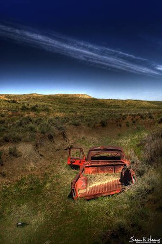
Last Party
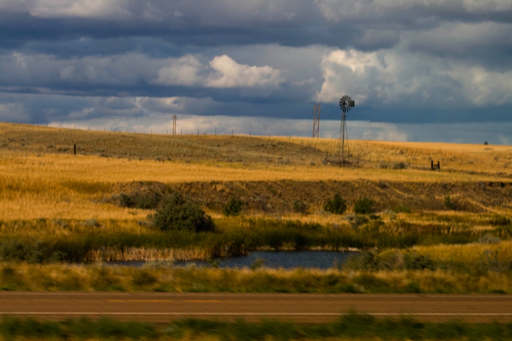
Eastern Montana
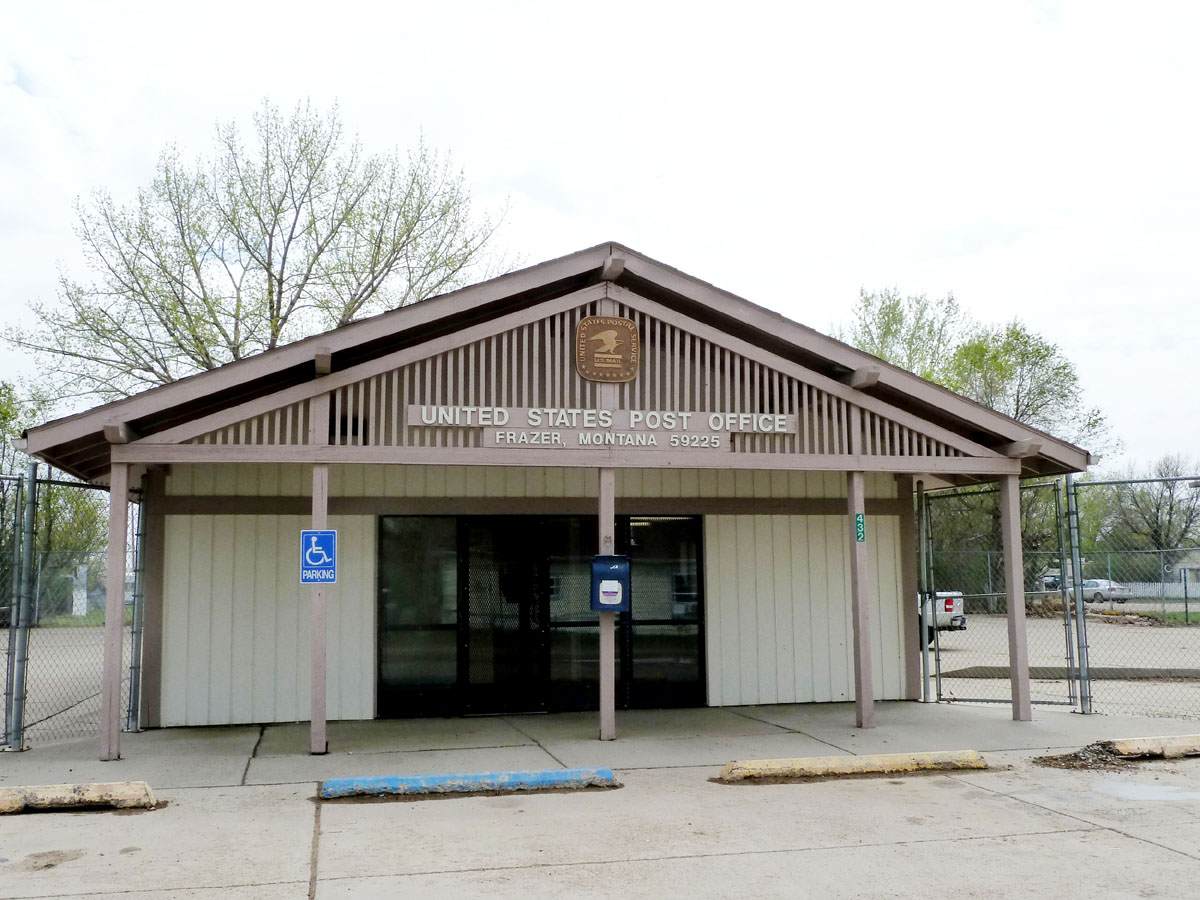
Frazer, Montana 59225

The other Oswego...
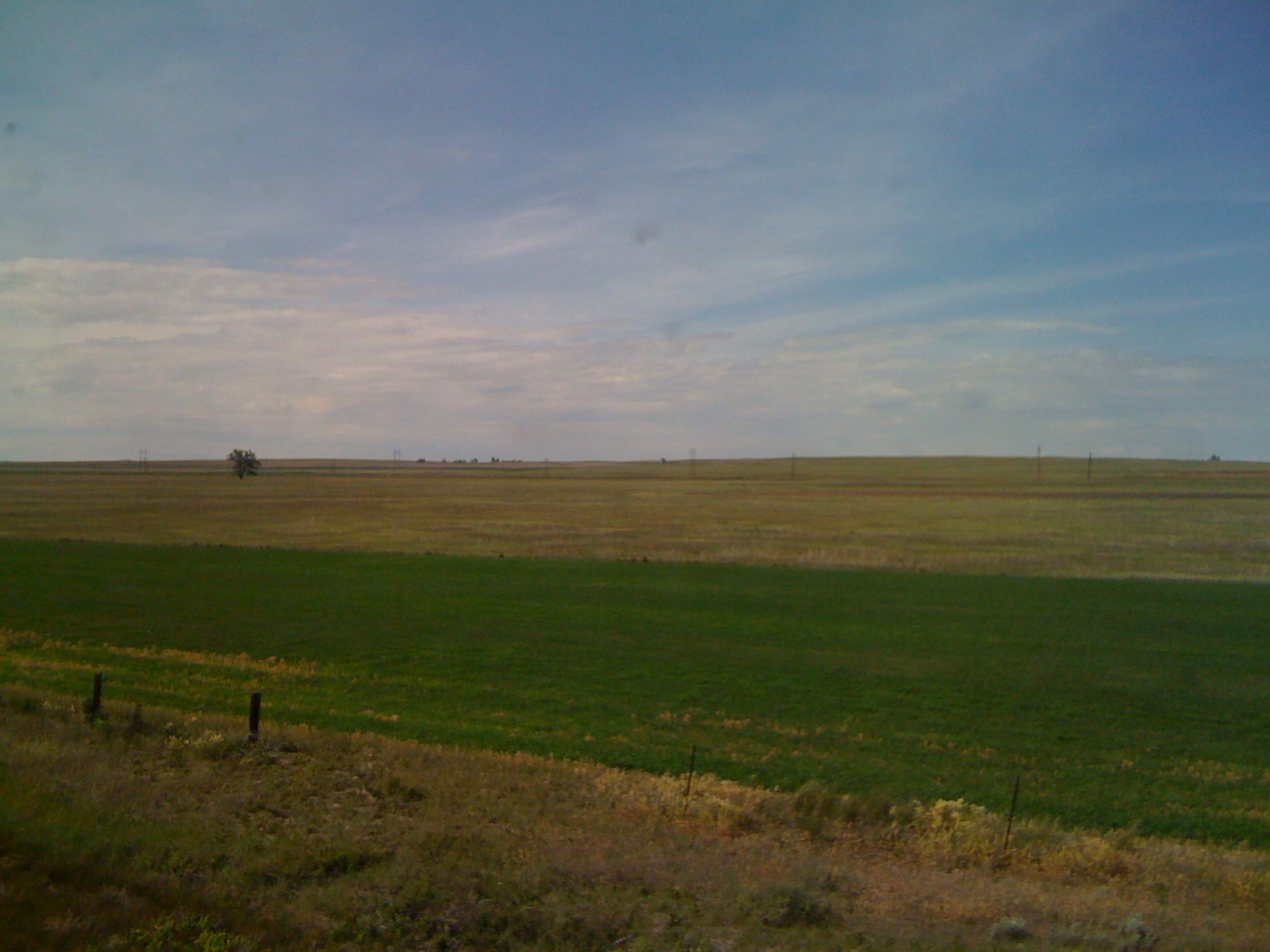
Big sky country
Topographic Map of Frazer, MT, USA
Find elevation by address:

Places in Frazer, MT, USA:
Places near Frazer, MT, USA:
1415 Frazer-richland Rd
Nashua
552 Nashua Blvd
Oswego Rd N, Frazer, MT, USA
Wolf Point
Fort Peck
Vida
MT-13, Vida, MT, USA
Glasgow
1st Ave N, Glasgow, MT, USA
Shipp Rd, Glasgow, MT, USA
MT-24, Nashua, MT, USA
224 Fladager Rd
Peerless
3953 Mt-24
Daniels County
Railroad Ave, Glentana, MT, USA
Valley County
Opheim
MT-24, Opheim, MT, USA
Recent Searches:
- Elevation of Lampiasi St, Sarasota, FL, USA
- Elevation of Elwyn Dr, Roanoke Rapids, NC, USA
- Elevation of Congressional Dr, Stevensville, MD, USA
- Elevation of Bellview Rd, McLean, VA, USA
- Elevation of Stage Island Rd, Chatham, MA, USA
- Elevation of Shibuya Scramble Crossing, 21 Udagawacho, Shibuya City, Tokyo -, Japan
- Elevation of Jadagoniai, Kaunas District Municipality, Lithuania
- Elevation of Pagonija rock, Kranto 7-oji g. 8"N, Kaunas, Lithuania
- Elevation of Co Rd 87, Jamestown, CO, USA
- Elevation of Tenjo, Cundinamarca, Colombia