Elevation map of McCone County, MT, USA
Location: United States > Montana >
Longitude: -105.88107
Latitude: 47.4500913
Elevation: 835m / 2739feet
Barometric Pressure: 92KPa
Elevation Map:
Satellite Map:
Related Photos:
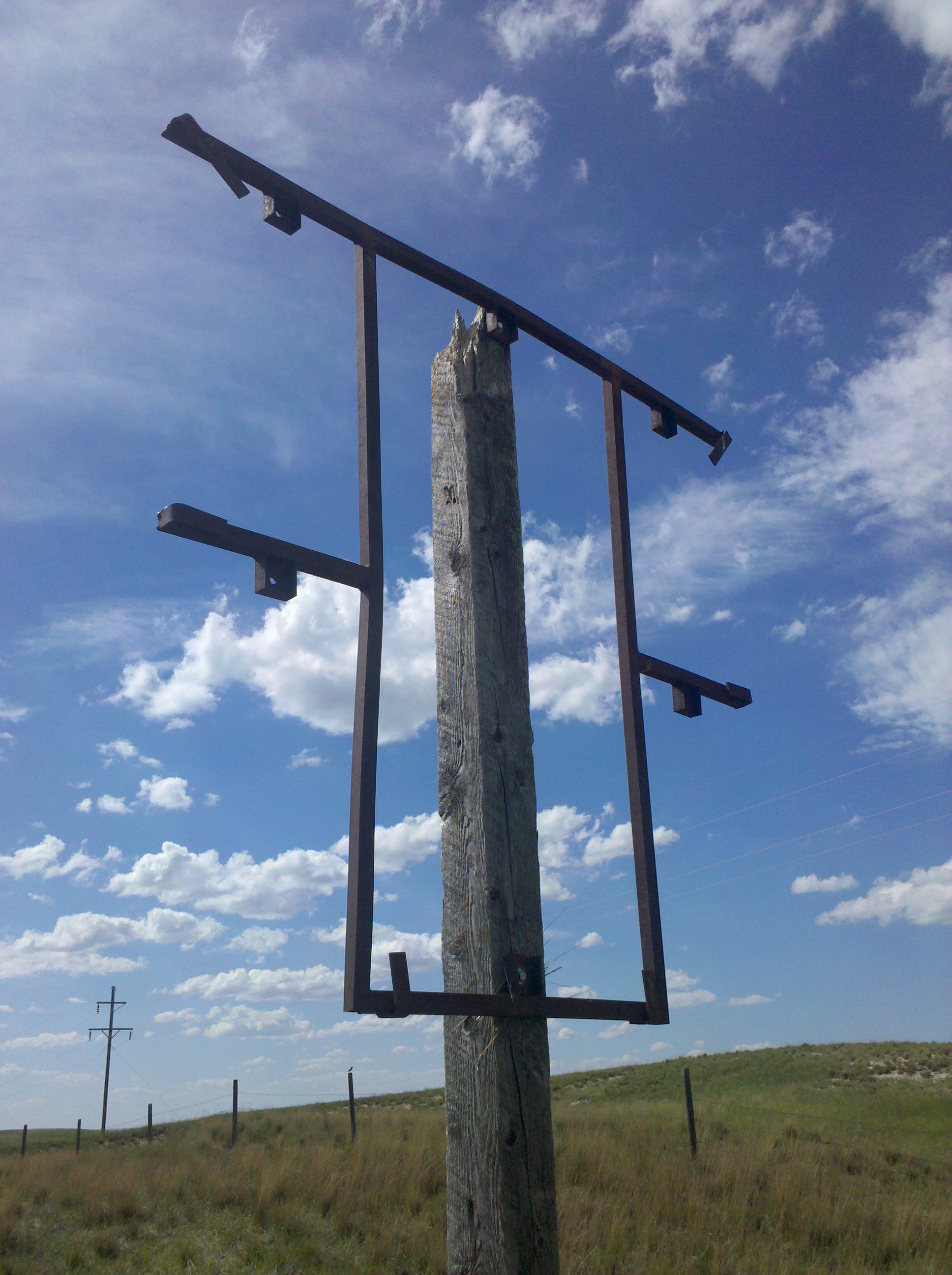
I saw quite a few of these today
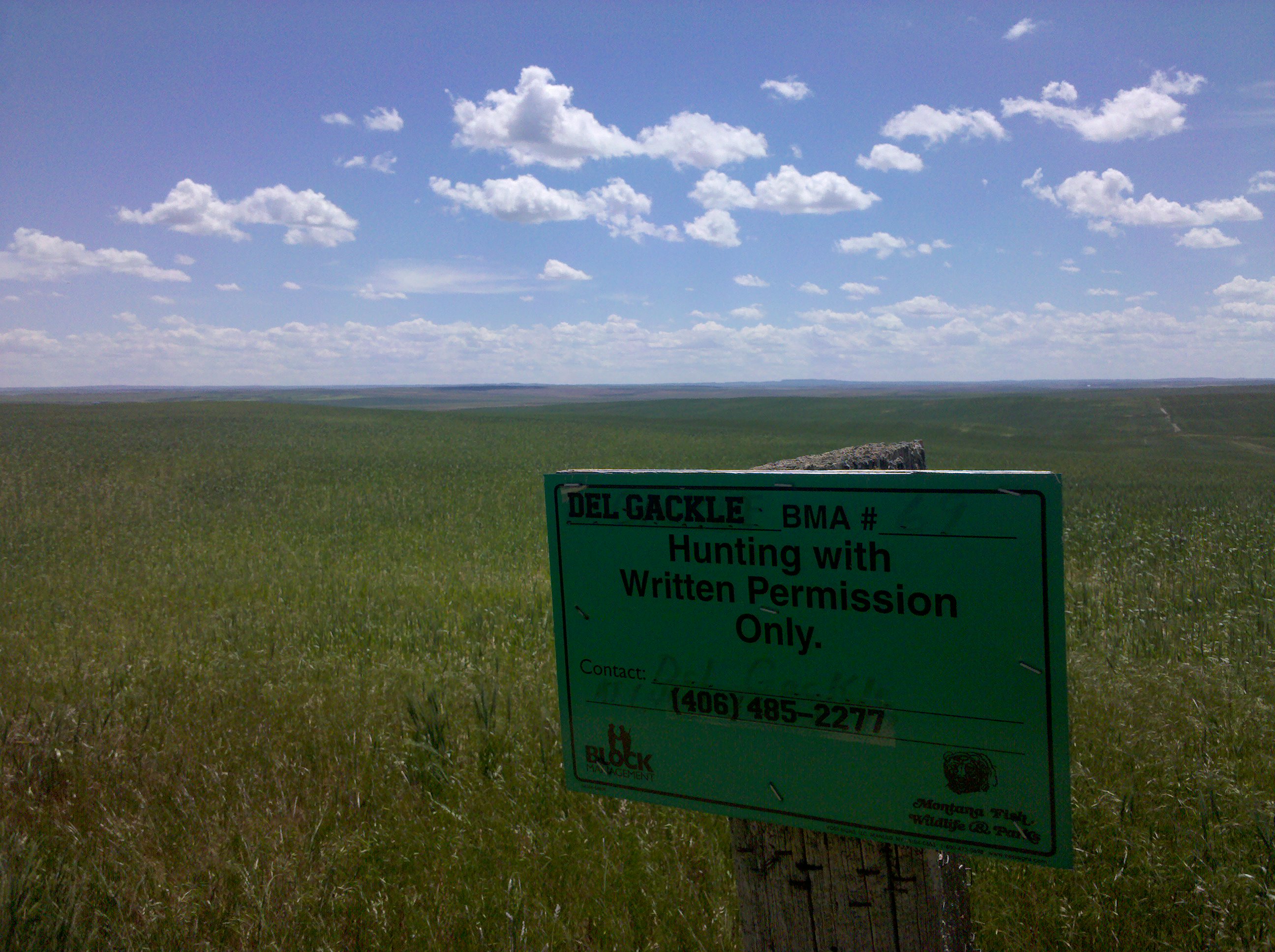
The Del Gackle Ranch
Topographic Map of McCone County, MT, USA
Find elevation by address:

Places in McCone County, MT, USA:
Places near McCone County, MT, USA:
Brockway
Mt Highway 13, Circle, MT, USA
Circle
49 Brockway East Rd
Nelson Creek Road
Cherry Creek Rd, Miles City, MT, USA
1550 2 Furrow Rd
W Old Hwy 10, Terry, MT, USA
Miles City
1 Palmer St, Miles City, MT, USA
Recent Searches:
- Elevation of Rojo Ct, Atascadero, CA, USA
- Elevation of Flagstaff Drive, Flagstaff Dr, North Carolina, USA
- Elevation of Avery Ln, Lakeland, FL, USA
- Elevation of Woolwine, VA, USA
- Elevation of Lumagwas Diversified Farmers Multi-Purpose Cooperative, Lumagwas, Adtuyon, RV32+MH7, Pangantucan, Bukidnon, Philippines
- Elevation of Homestead Ridge, New Braunfels, TX, USA
- Elevation of Orchard Road, Orchard Rd, Marlborough, NY, USA
- Elevation of 12 Hutchinson Woods Dr, Fletcher, NC, USA
- Elevation of Holloway Ave, San Francisco, CA, USA
- Elevation of Norfolk, NY, USA