Elevation of Mountain Loop Hwy, Granite Falls, WA, USA
Location: United States > Washington > Snohomish County > Granite Falls >
Longitude: -121.78887
Latitude: 48.097168
Elevation: 296m / 971feet
Barometric Pressure: 98KPa
Elevation Map:
Satellite Map:
Related Photos:
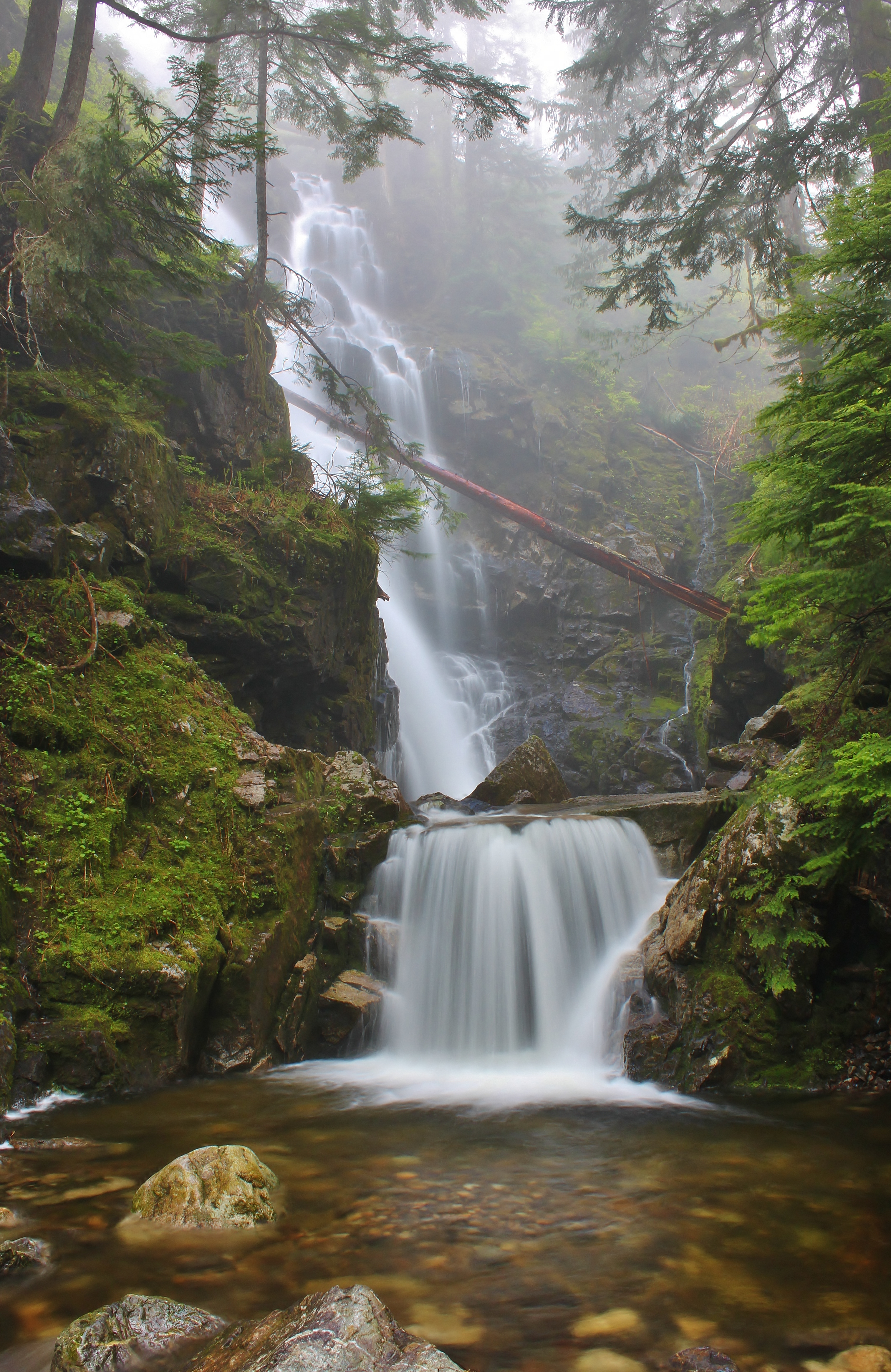
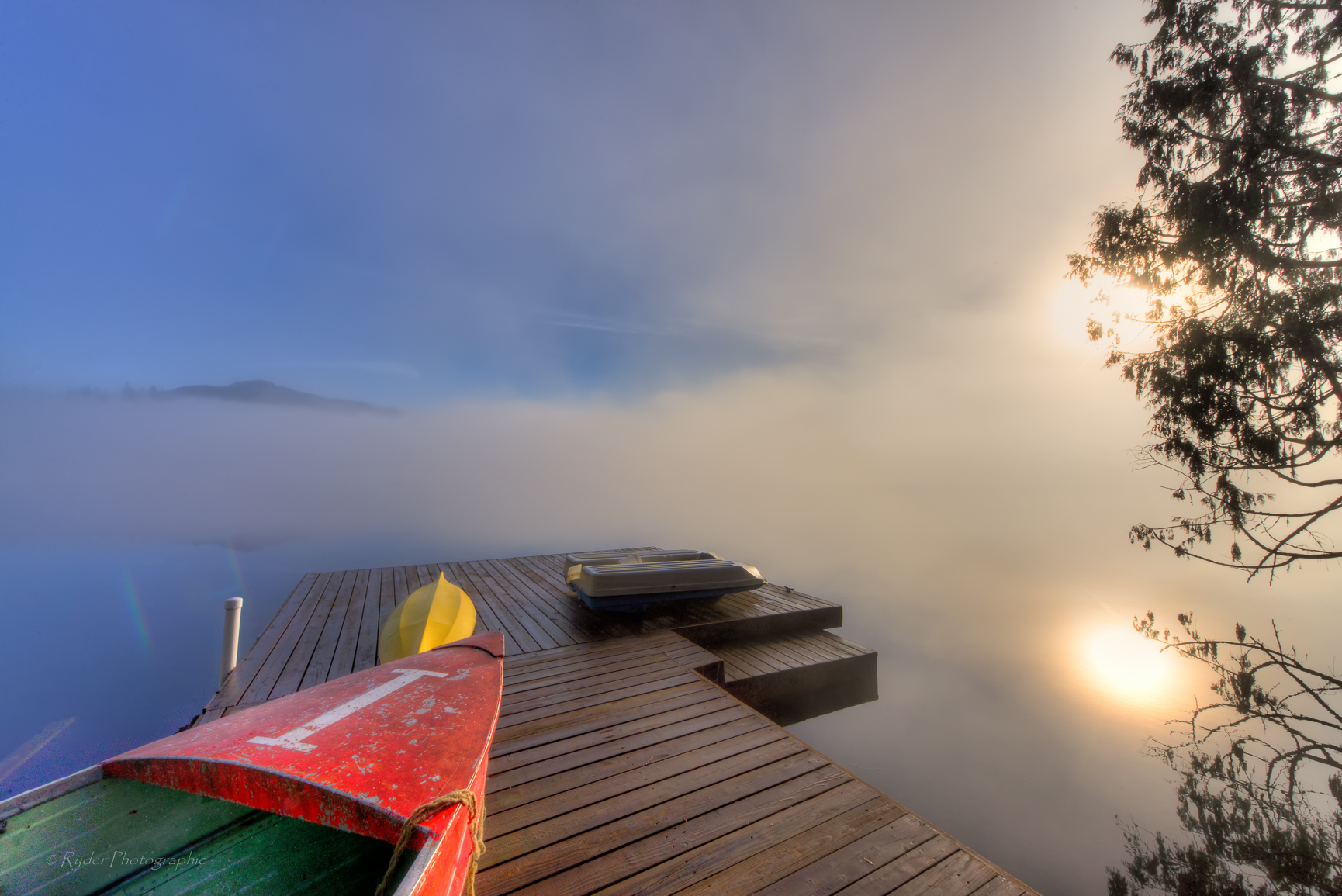
Hadley Falls
Mixup March
Three Fingers at sunrise
almost frozen [heather lake]
Granite in Gray
TwentyTwo Creek On A Cloudy June Morning
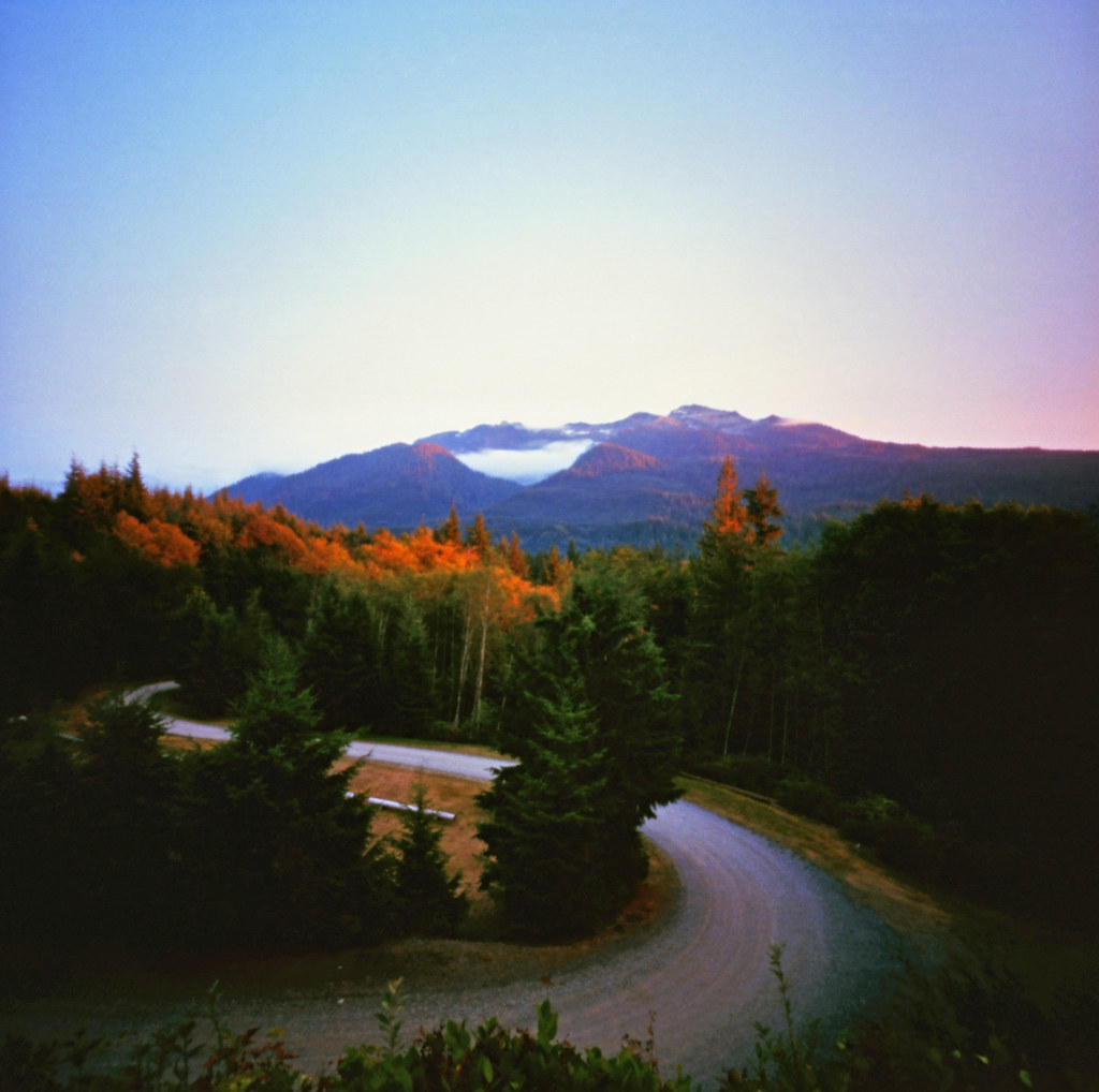
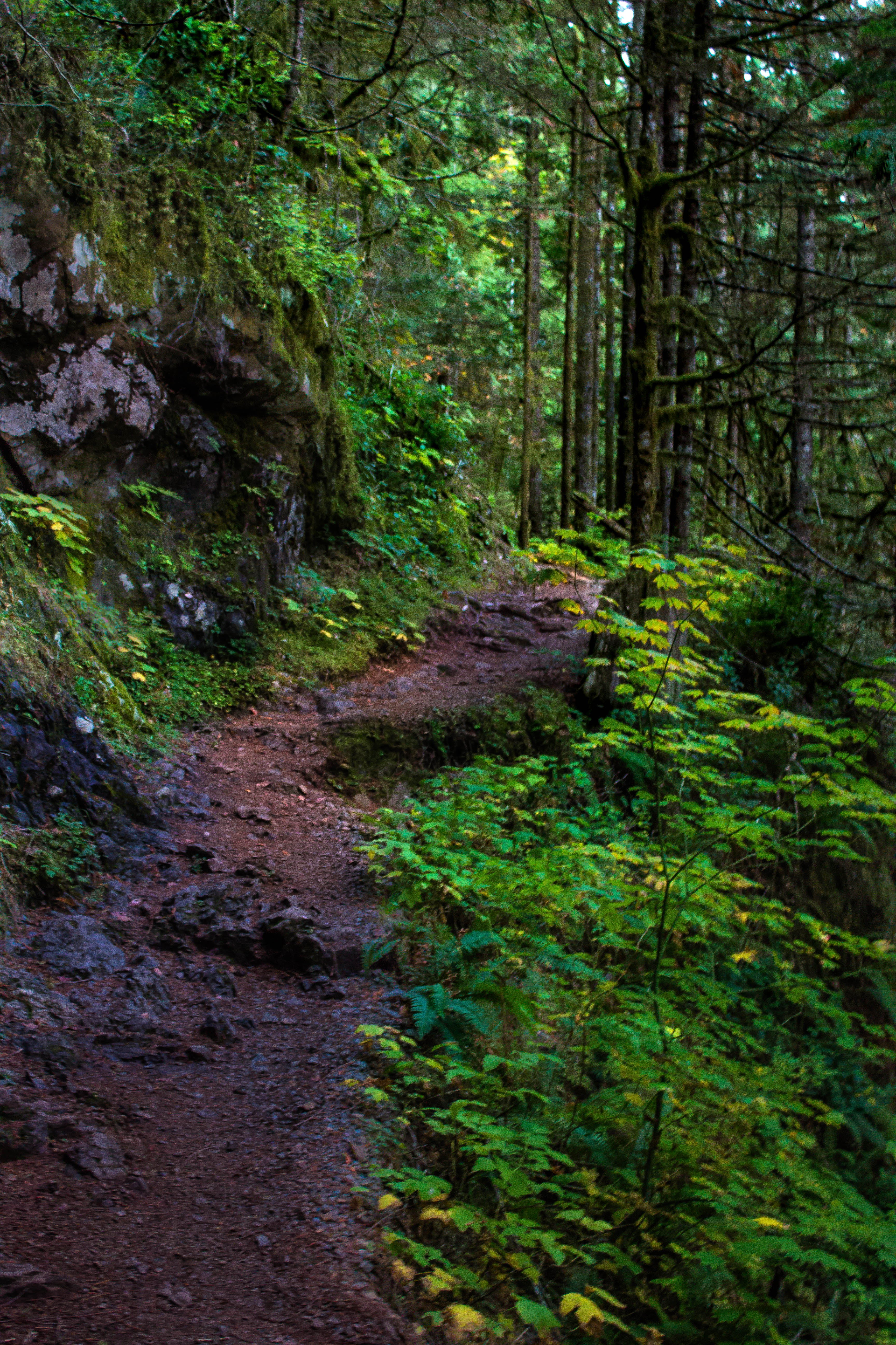
Mountain Loop Highway

Mountain Loop Highway
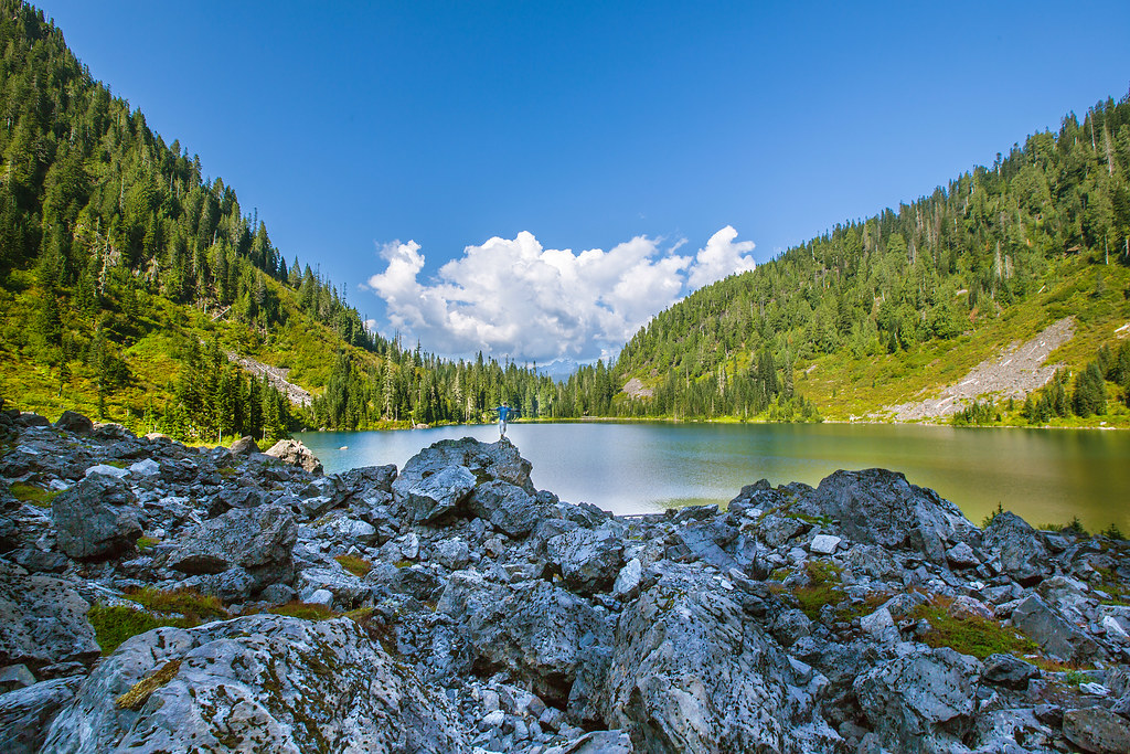
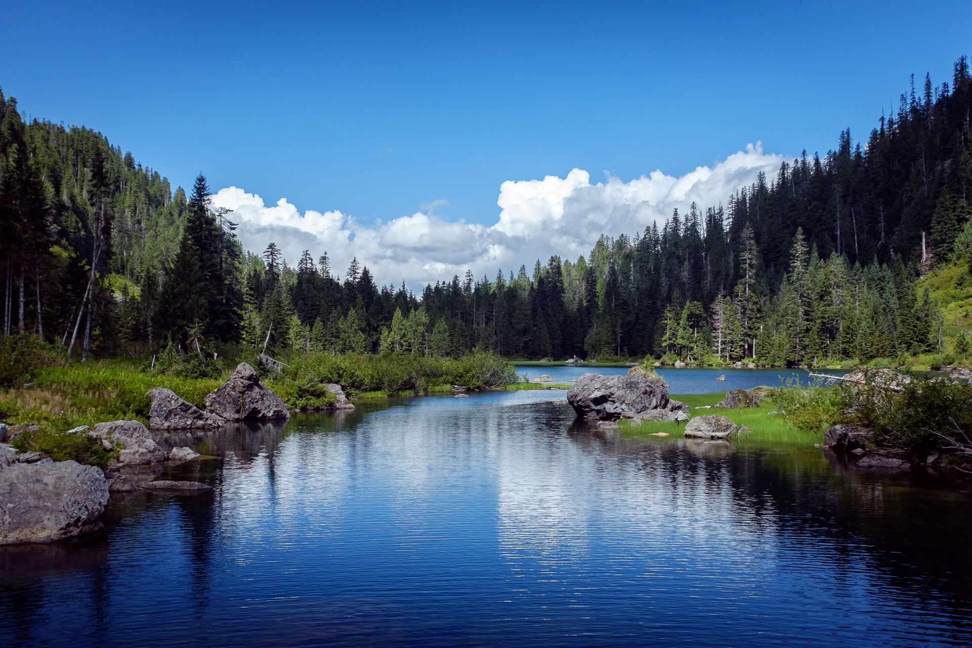
Lake 22
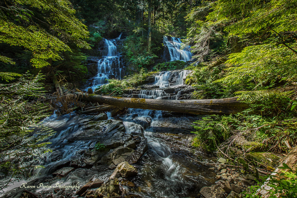
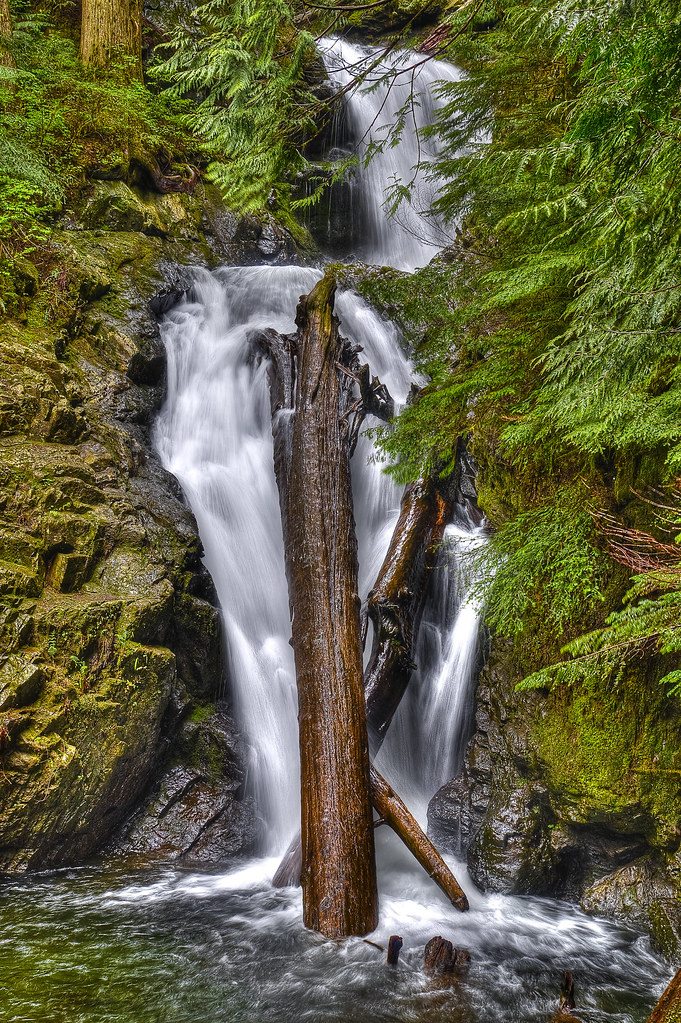
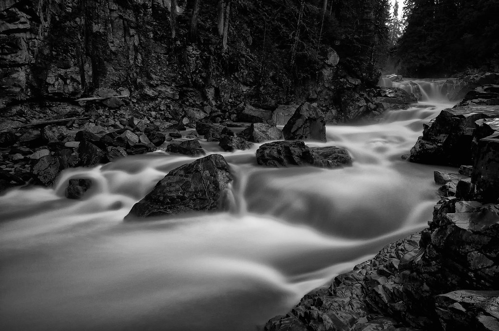
Lake 22 Creek Waterfalls
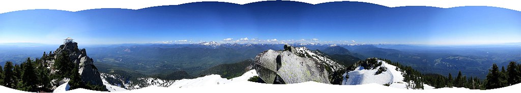
Panoramic view
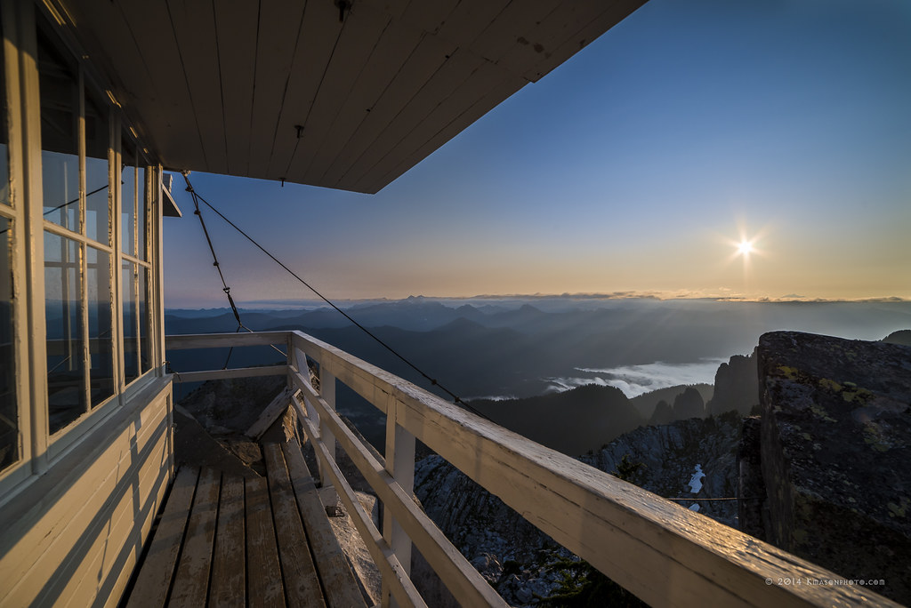
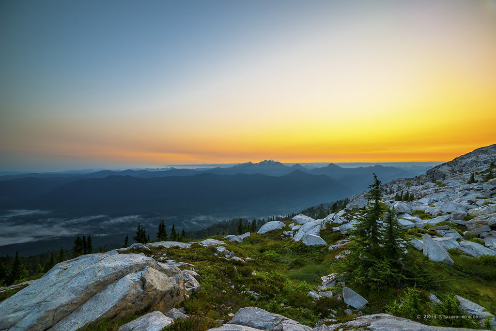
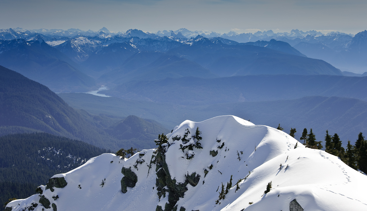
Sunrise from the summit of Pilchuck
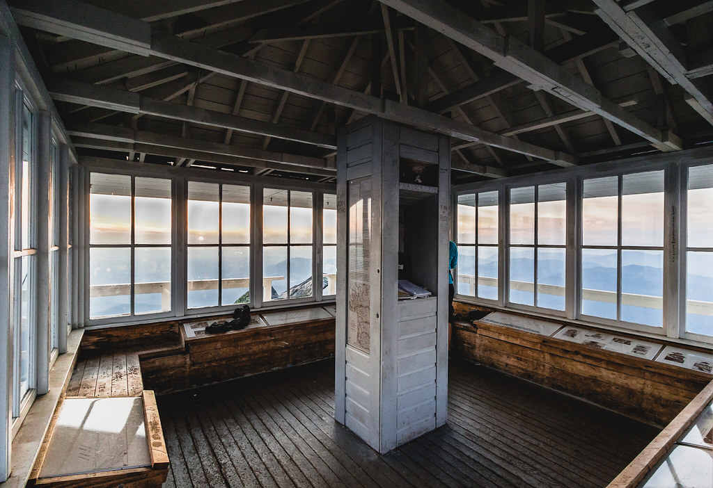
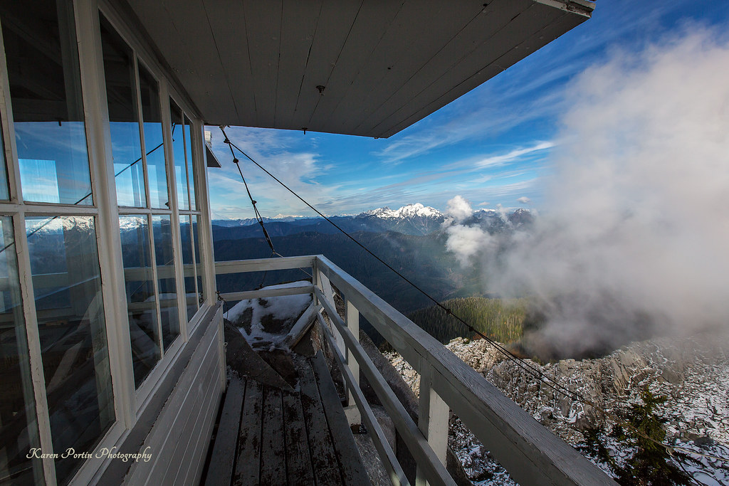
lookout view
The Mountain
Mountain View with Cloud
Mt. Pilchuck Weather

The river wild
Cascade View
Pret-tay, pret-tay, pretty cool views out here.

Mossy Wet Goodness
Panoramic view
Swamp Rock

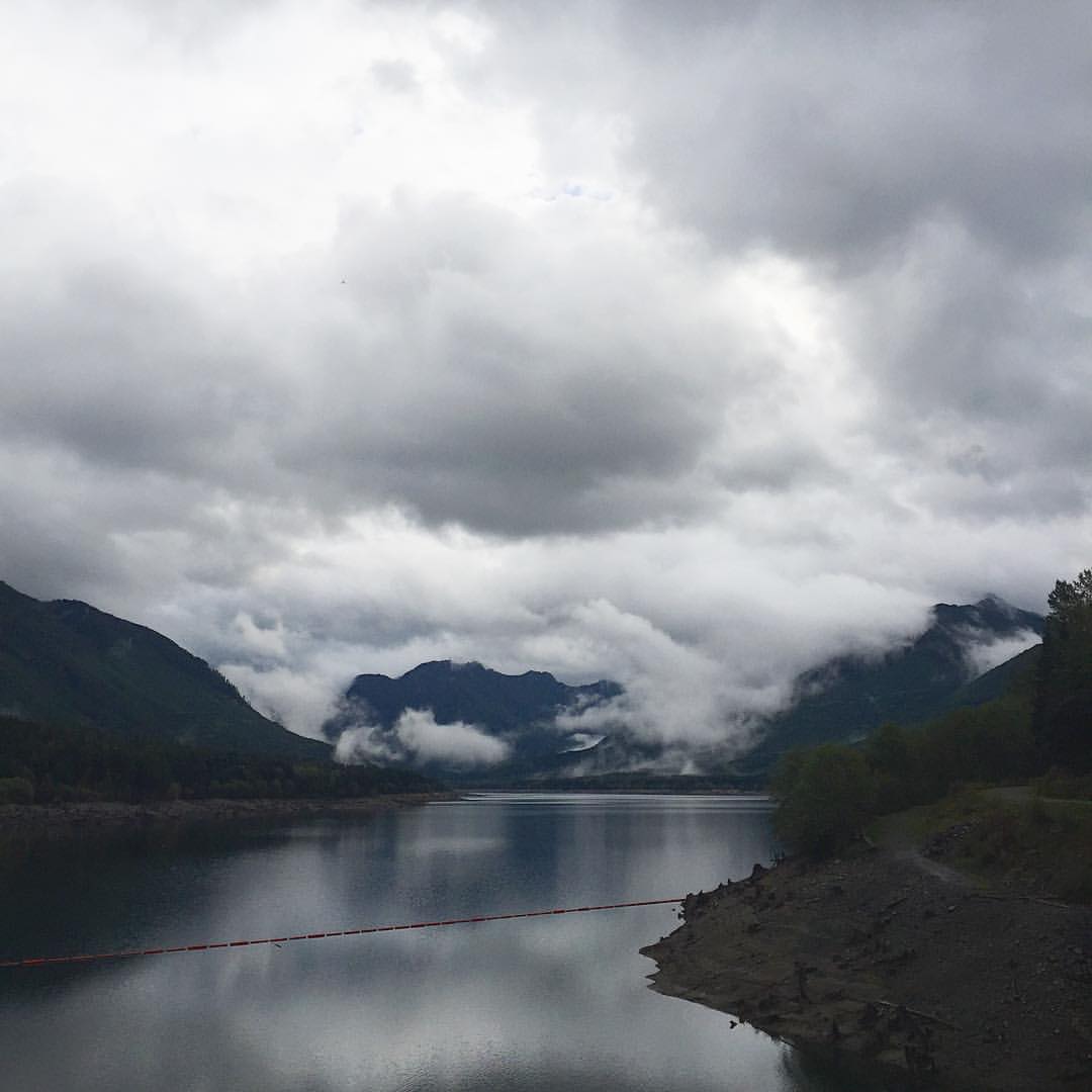
Granite Falls
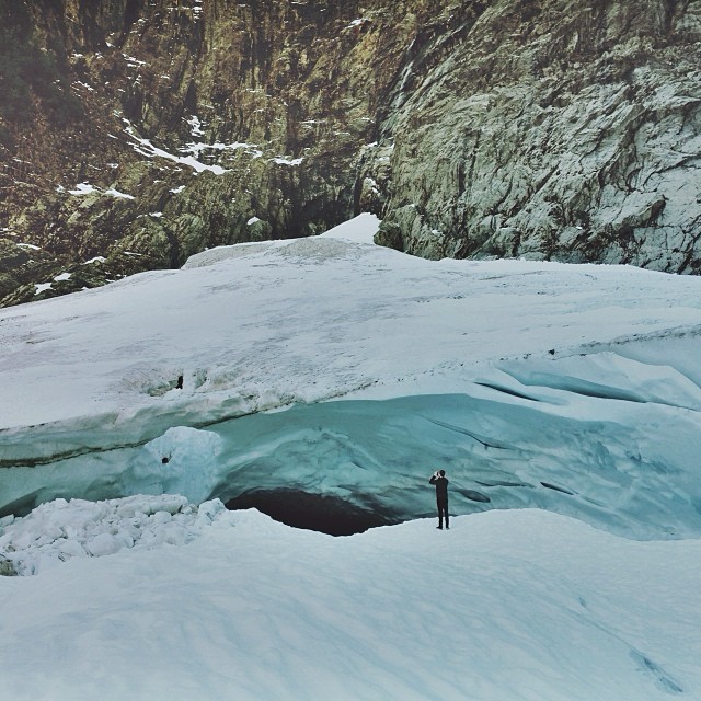
Big ol caves.
Roesinger awakens
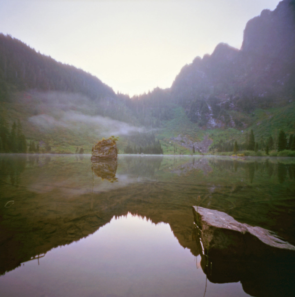
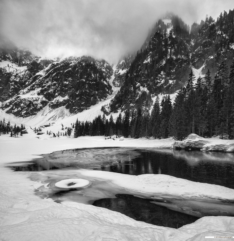
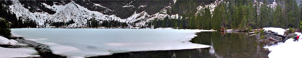
Heather Lake
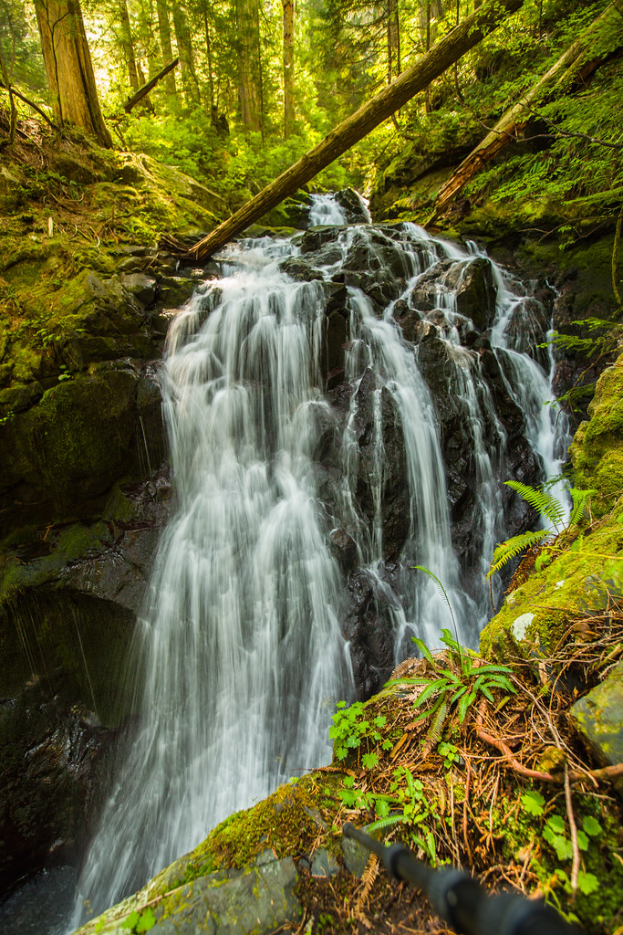
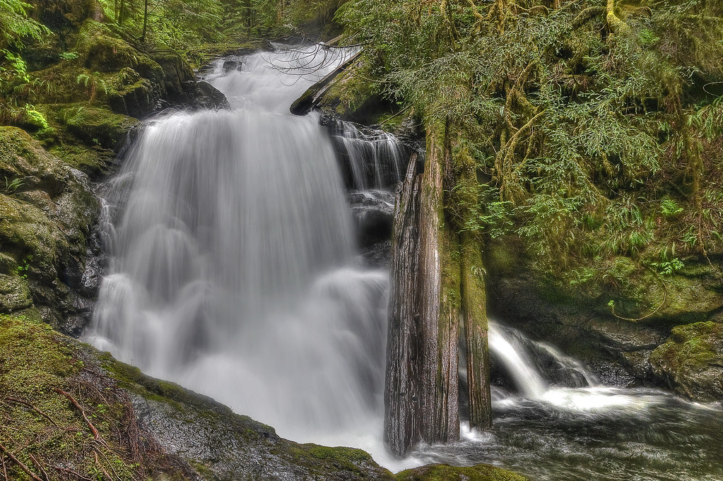
Lake 22 Creek Waterfall

South Fork Stillaguamish River
Picture-Perfect Day

Confusion Falls, Twentytwo Creek, Mount Baker-Snoqualmie National Forest, Washington
Boulder River Trail
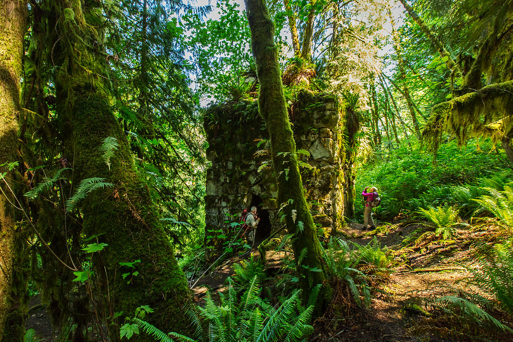
The Lime Kiln
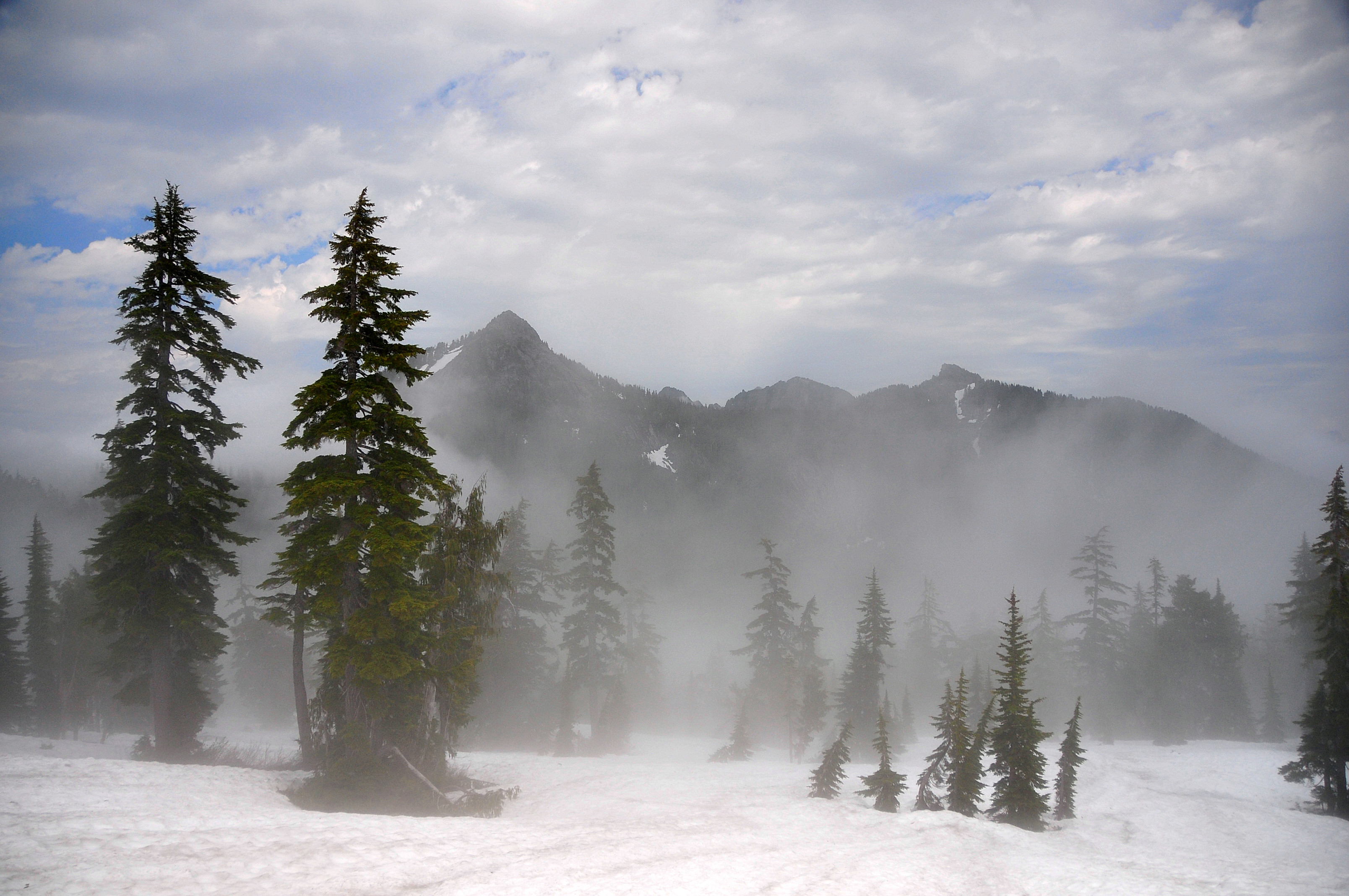
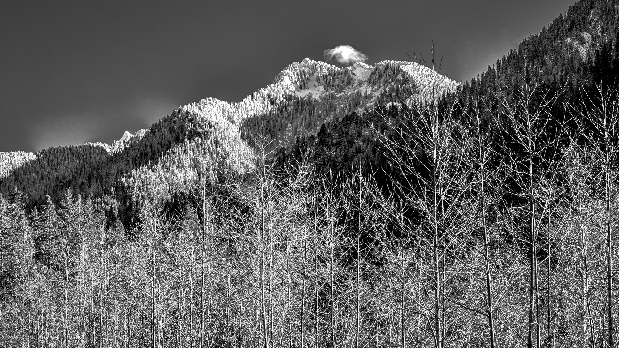
Winter's Foothold

DJI0047_0048_0049_easyHDR-PRO-2_batch
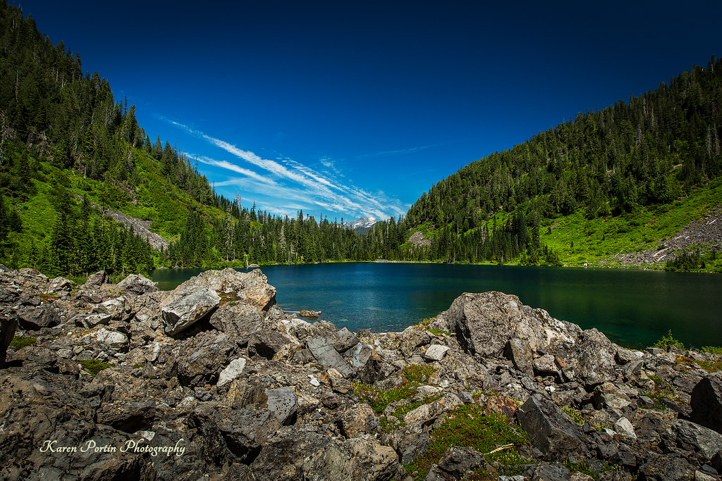
Lake Twenty-two
River Bank Pattern
Lake 22 Trail
Topographic Map of Mountain Loop Hwy, Granite Falls, WA, USA
Find elevation by address:

Places near Mountain Loop Hwy, Granite Falls, WA, USA:
32522 Mountain Loop Hwy
Verlot Public Service Center
33914 Mountain Loop Hwy
33924 Mountain Loop Hwy
31611 Rivershore Ln
Mount Pilchuck
Snohomish County
23201 Alder Dr
7103 227th Ave Ne
23311 36th St Ne
3321 Alyson Dr
22001 S River Dr
310 S Lake Roesiger Rd
22505 45th Place Notheast
22607 29th Pl Ne
2301 Robe Menzel Rd
20825 Menzel Lake Rd
21108 Pilchuck Pl
210 S Alder Ave
5918 Robe Menzel Rd
Recent Searches:
- Elevation of Elwyn Dr, Roanoke Rapids, NC, USA
- Elevation of Congressional Dr, Stevensville, MD, USA
- Elevation of Bellview Rd, McLean, VA, USA
- Elevation of Stage Island Rd, Chatham, MA, USA
- Elevation of Shibuya Scramble Crossing, 21 Udagawacho, Shibuya City, Tokyo -, Japan
- Elevation of Jadagoniai, Kaunas District Municipality, Lithuania
- Elevation of Pagonija rock, Kranto 7-oji g. 8"N, Kaunas, Lithuania
- Elevation of Co Rd 87, Jamestown, CO, USA
- Elevation of Tenjo, Cundinamarca, Colombia
- Elevation of Côte-des-Neiges, Montreal, QC H4A 3J6, Canada