Elevation of Alder Dr, Granite Falls, WA, USA
Location: United States > Washington > Snohomish County > Granite Falls >
Longitude: -121.91898
Latitude: 48.123571
Elevation: 160m / 525feet
Barometric Pressure: 99KPa
Elevation Map:
Satellite Map:
Related Photos:

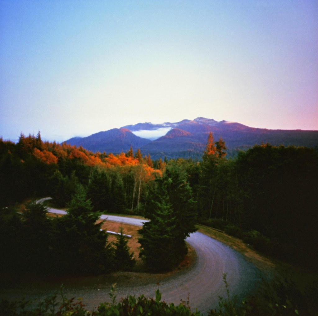
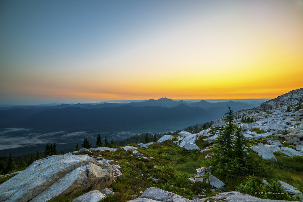
Pilchuck's Alpenglow
The Mountain
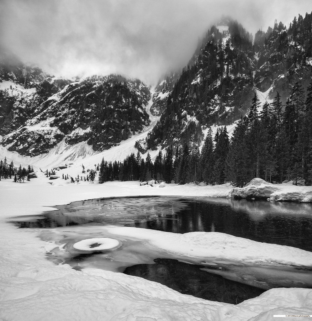
almost frozen [heather lake]

American Redstart (7245) (ebird rarity)
TwentyTwo Creek On A Cloudy June Morning
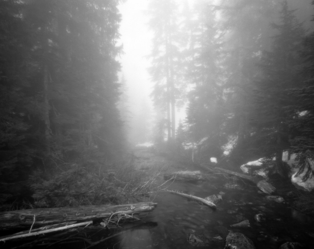
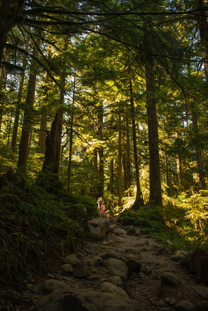
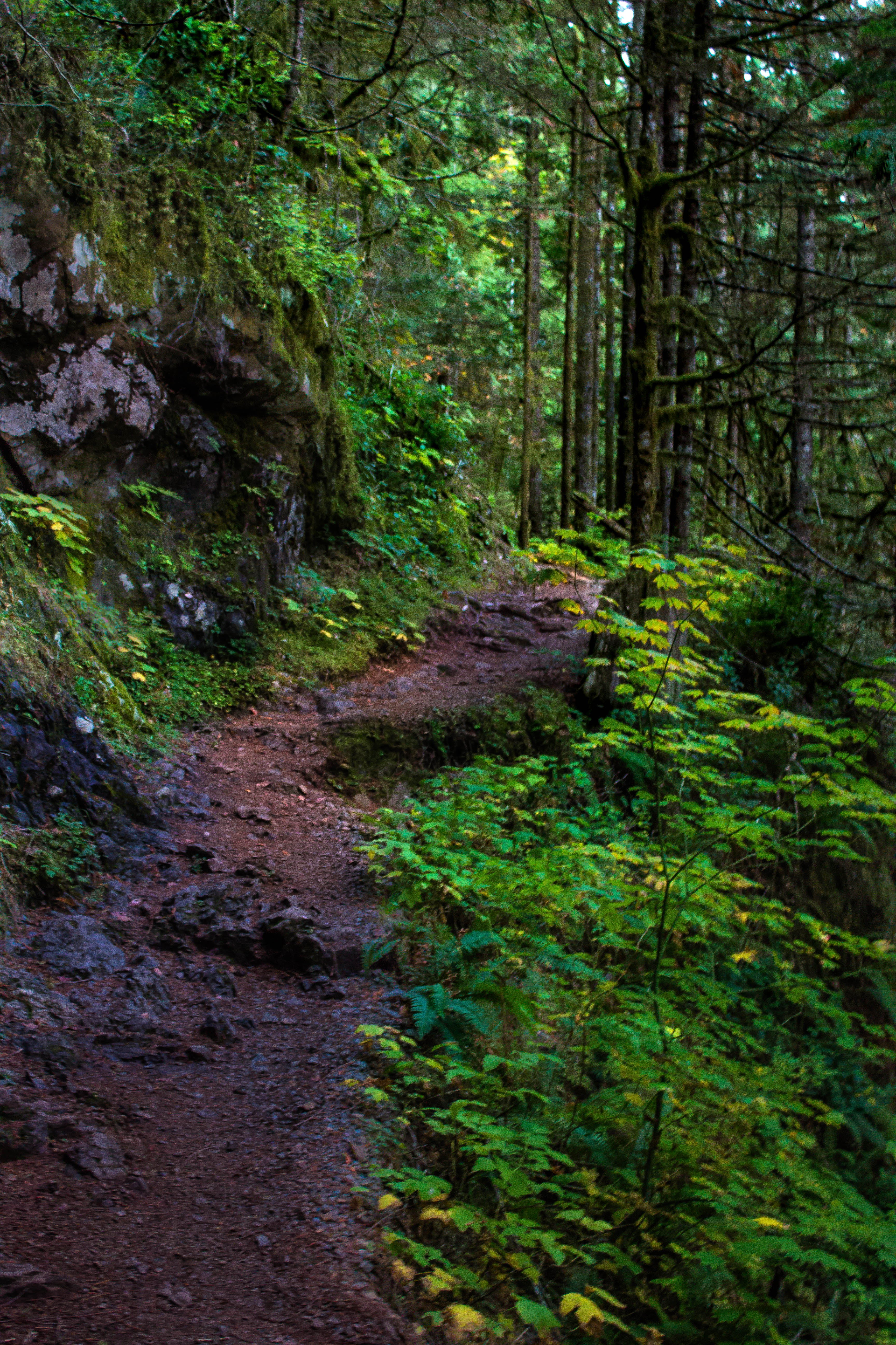
Forest View
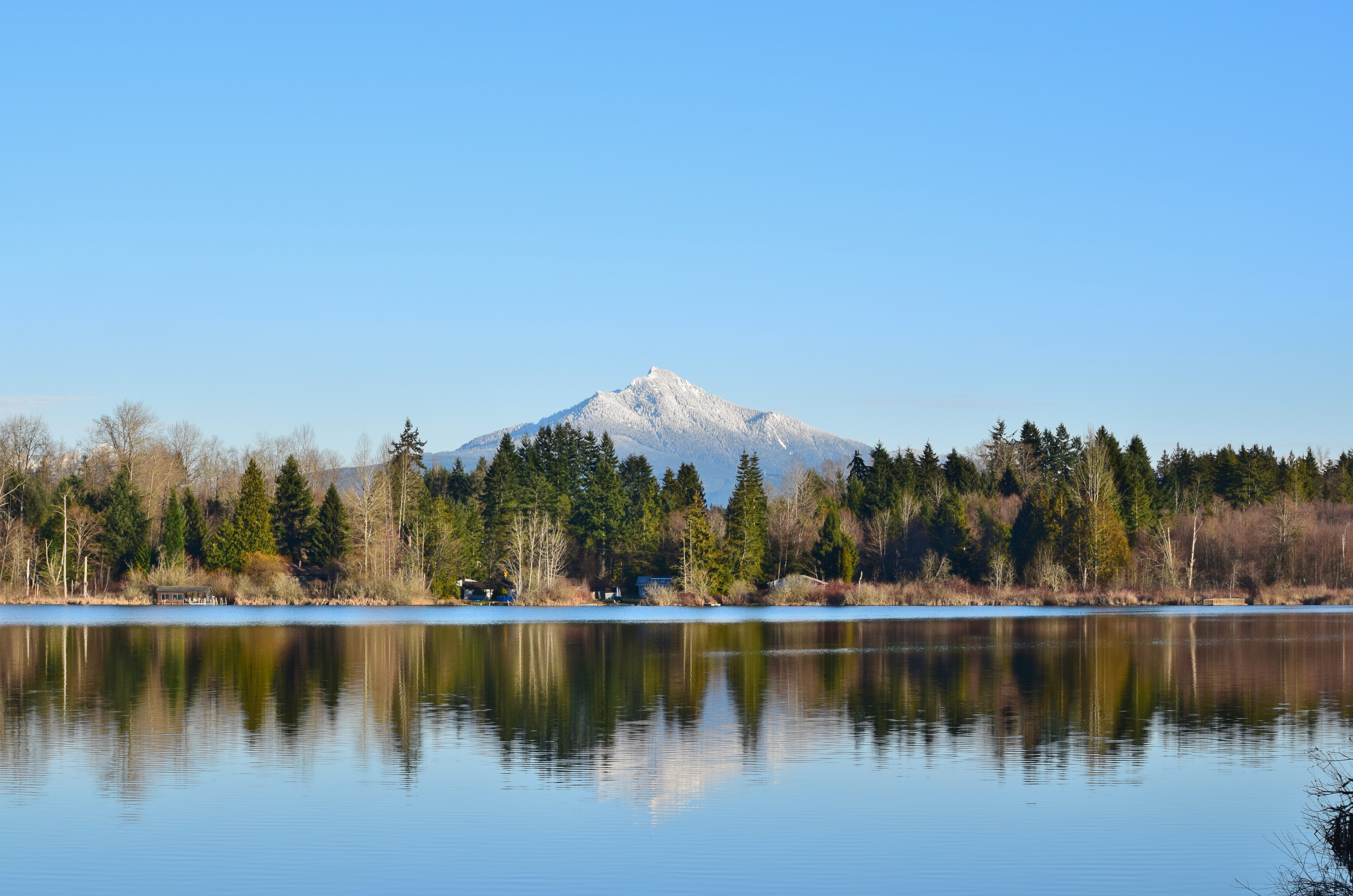
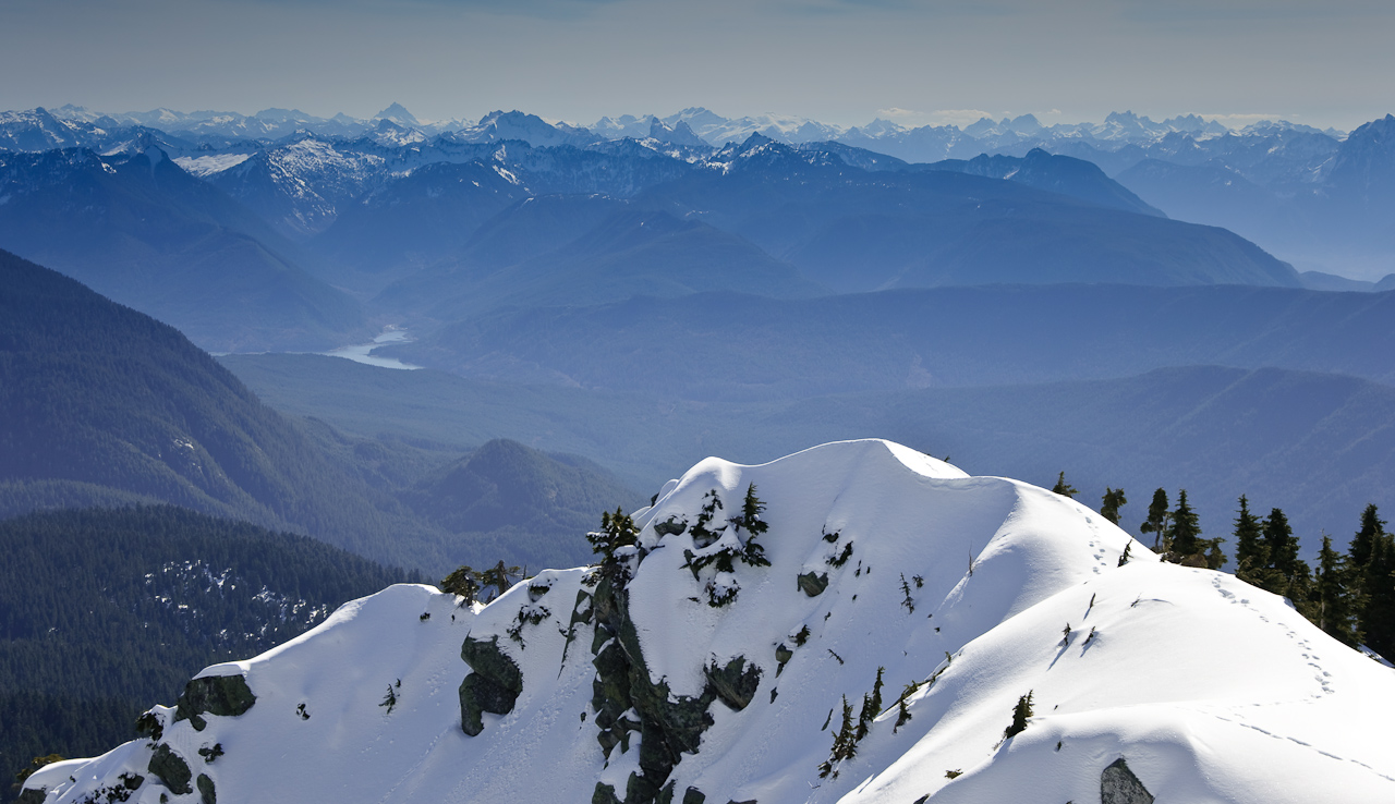
snow capped peaks
Coming down
Lake Cassidy WA
Hadley Falls
Three Fingers at sunrise
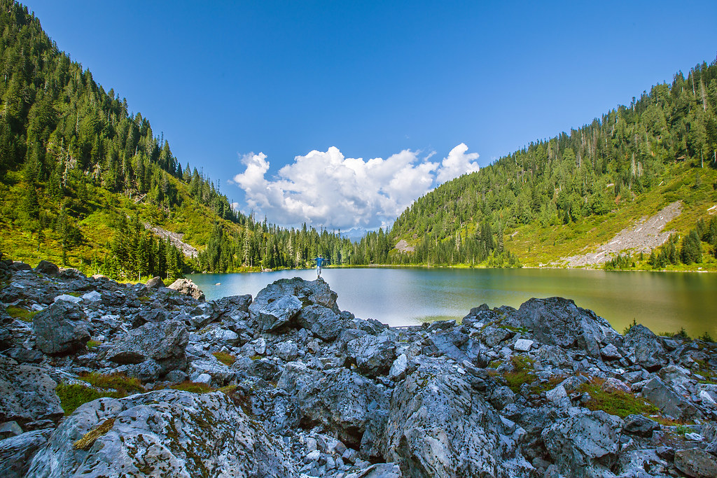
Lake 22
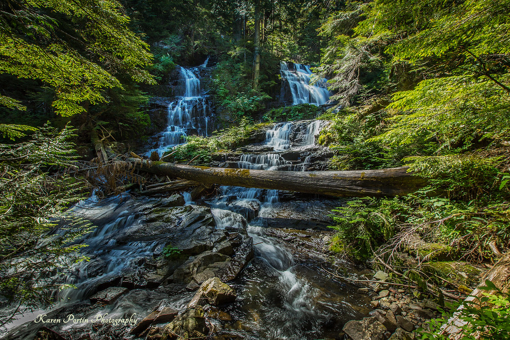
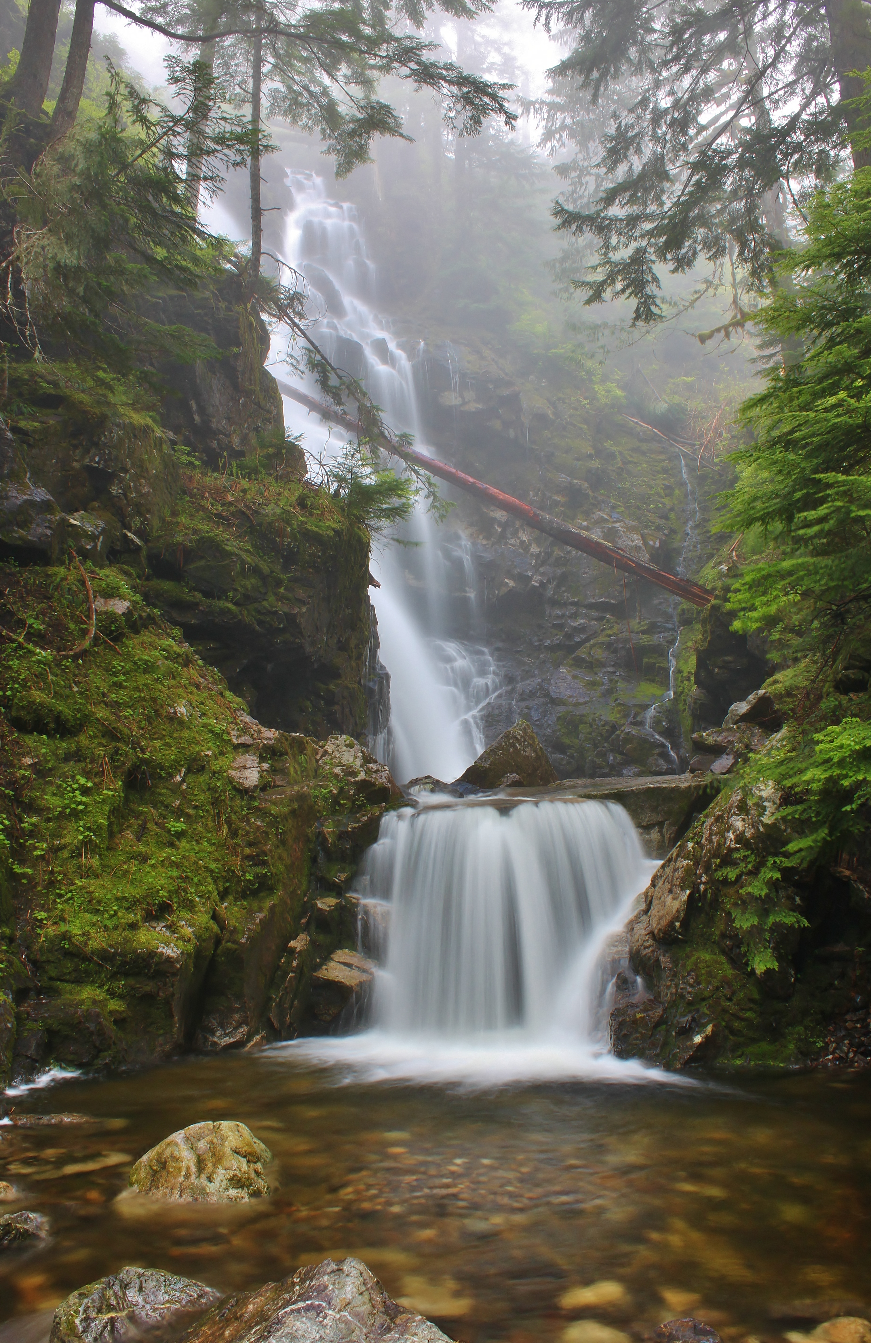
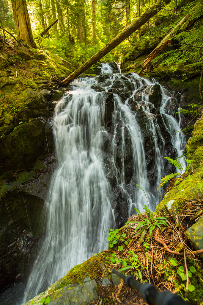
Lake 22 Creek Waterfalls
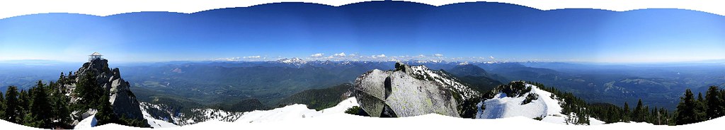
Panoramic view
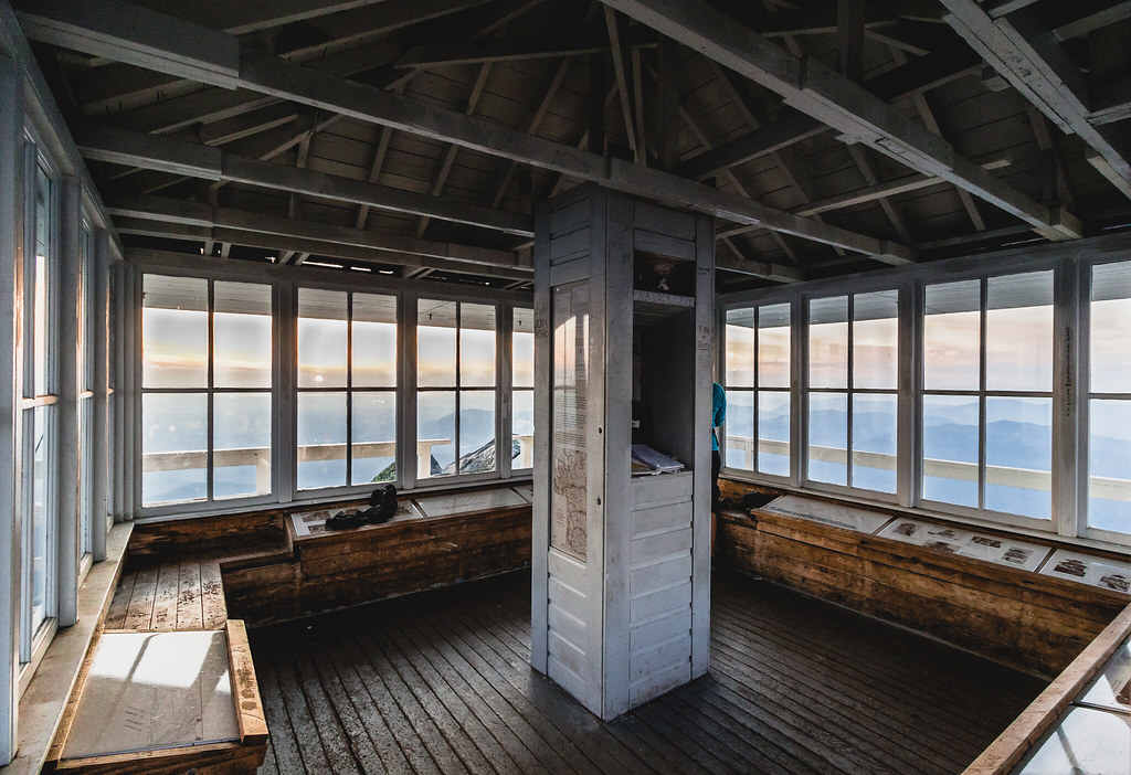
lookout view
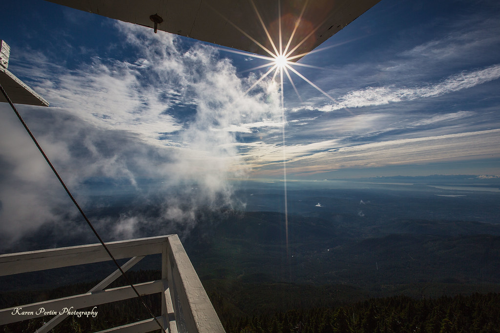
Sun Kissed

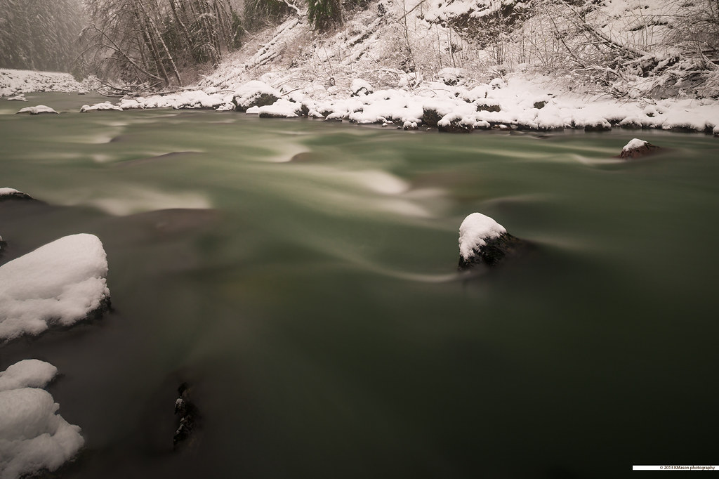
The river wild
small lookout - big view
Cascade View
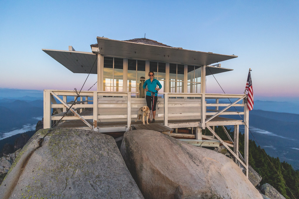
At Last! The Lookout!

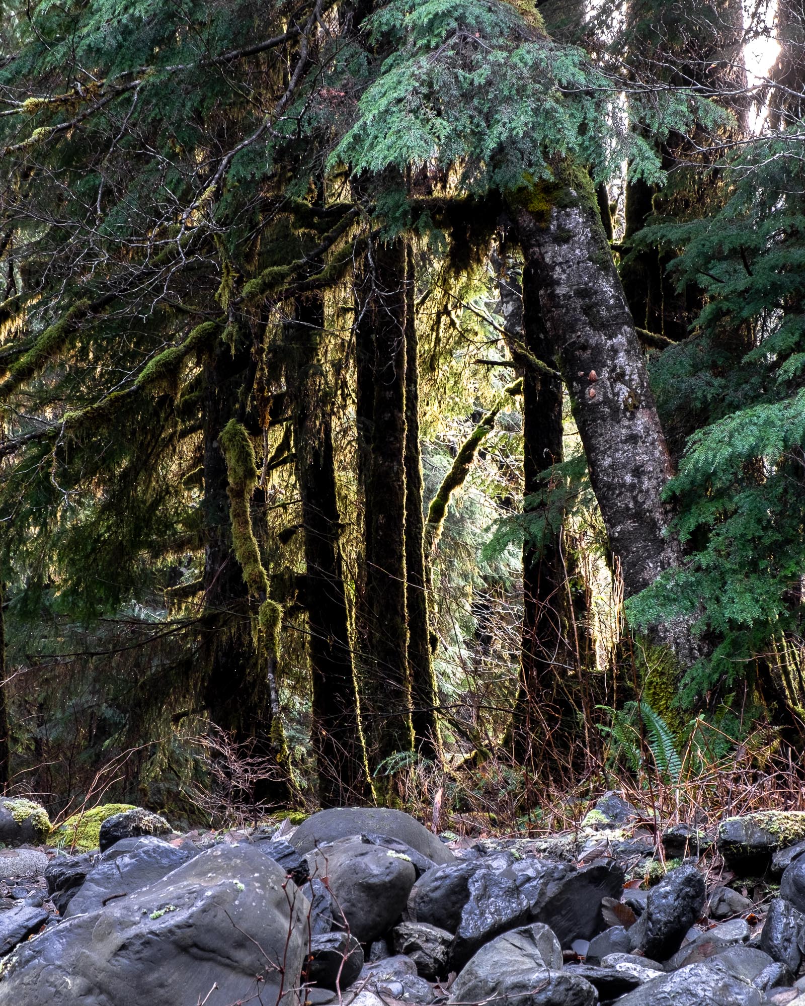
Mossy Wet Goodness
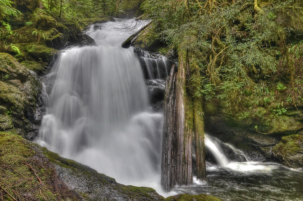
Feature Show Falls
Roesinger awakens
Watercolor photo

Angry cloud

Granite Falls
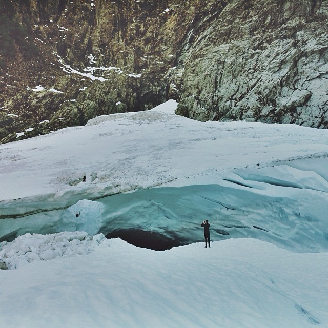
Big ol caves.
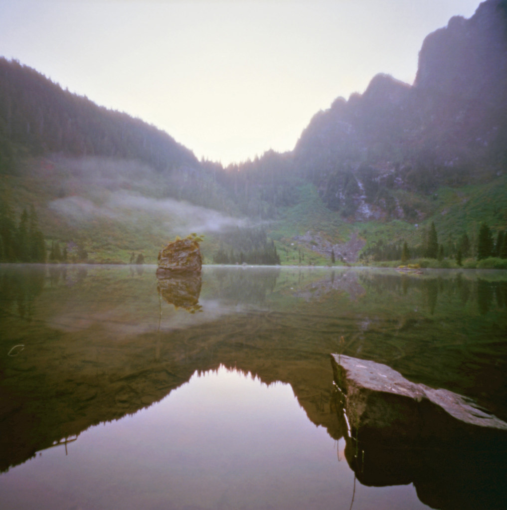
Heather Lake
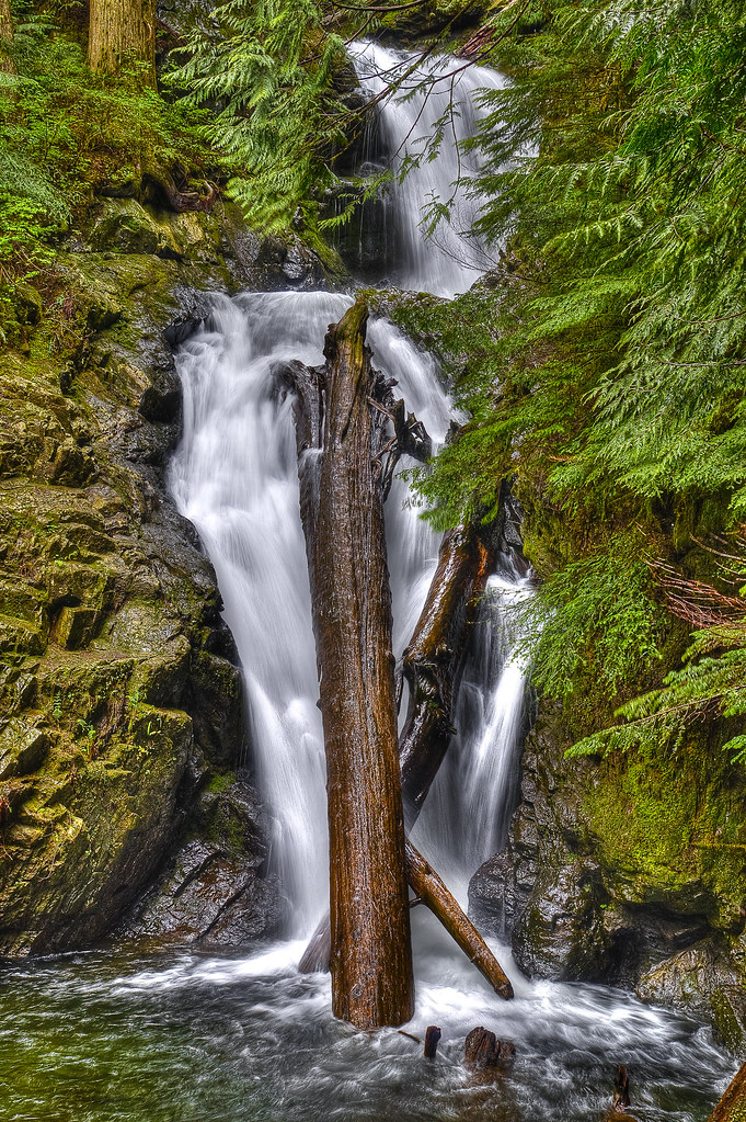
Lake 22 Creek Waterfall

South Fork Stillaguamish River
Mixup March
Swamp Rock
Picture-Perfect Day
Boulder River Trail

Confusion Falls, Twentytwo Creek, Mount Baker-Snoqualmie National Forest, Washington
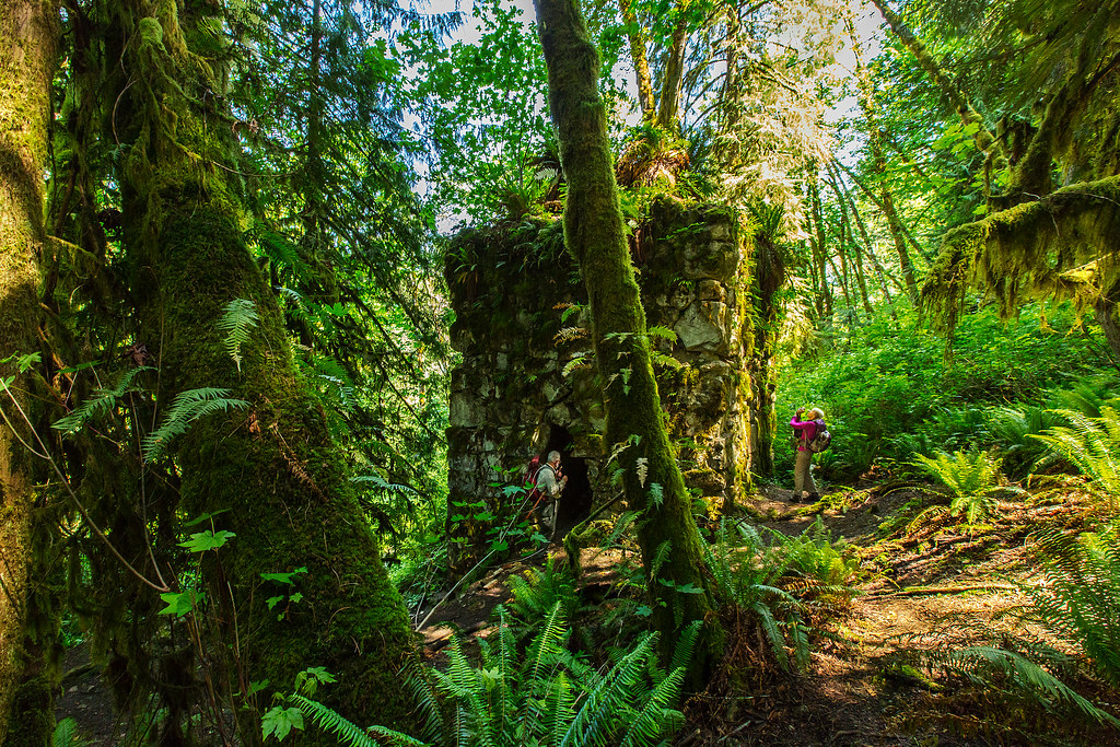
The Lime Kiln

DJI0047_0048_0049_easyHDR-PRO-2_batch

South Fork Stillaguamish River
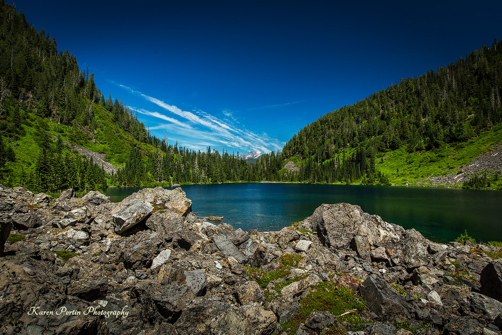
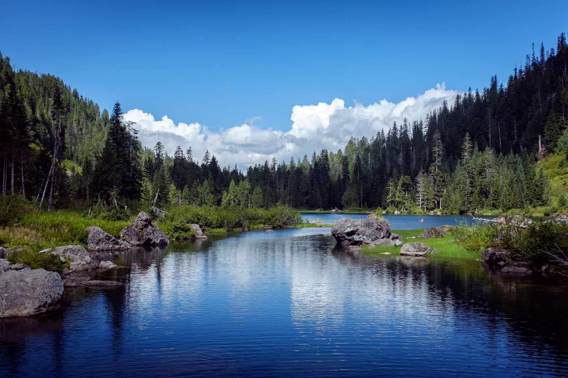
Lake Twenty-two
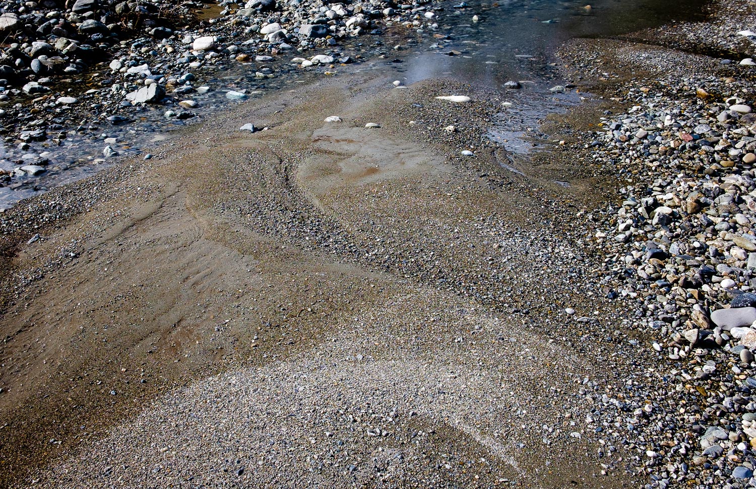
River Bank Pattern
Topographic Map of Alder Dr, Granite Falls, WA, USA
Find elevation by address:

Places near Alder Dr, Granite Falls, WA, USA:
22001 S River Dr
20825 Menzel Lake Rd
11209 Jordan Rd
11129 Jordan Rd
210 S Alder Ave
7103 227th Ave Ne
Granite Falls
18222 Russian Rd
601 Pine Ln
21108 Pilchuck Pl
Gardner Lake
8829 184th Ave Ne
18522 79th St Ne
5918 Robe Menzel Rd
22505 45th Place Notheast
23311 36th St Ne
3321 Alyson Dr
4310 203rd Ave Ne
22607 29th Pl Ne
2301 Robe Menzel Rd
Recent Searches:
- Elevation of Unnamed Road, Respublika Severnaya Osetiya — Alaniya, Russia
- Elevation of Verkhny Fiagdon, North Ossetia–Alania Republic, Russia
- Elevation of F. Viola Hiway, San Rafael, Bulacan, Philippines
- Elevation of Herbage Dr, Gulfport, MS, USA
- Elevation of Lilac Cir, Haldimand, ON N3W 2G9, Canada
- Elevation of Harrod Branch Road, Harrod Branch Rd, Kentucky, USA
- Elevation of Wyndham Grand Barbados Sam Lords Castle All Inclusive Resort, End of Belair Road, Long Bay, Bridgetown Barbados
- Elevation of Iga Trl, Maggie Valley, NC, USA
- Elevation of N Co Rd 31D, Loveland, CO, USA
- Elevation of Lindever Ln, Palmetto, FL, USA