Elevation of Mountain Loop Hwy, Granite Falls, WA, USA
Location: United States > Washington > Snohomish County > Granite Falls >
Longitude: -121.77525
Latitude: 48.089272
Elevation: -10000m / -32808feet
Barometric Pressure: 295KPa
Elevation Map:
Satellite Map:
Related Photos:

Hadley Falls

Lake 22

lookout view

Sun Kissed

almost frozen [heather lake]

Snowy View I

Mt. Pilchuck Weather

Snowy View II

Lake 22 Creek Waterfalls

Lake 22 at Sunset

Mixup March

Mossy Wet Goodness

Mount Pilchuck

Mount Pilchuck

Granite in Gray

At Last! The Lookout!

Three Fingers at sunrise

TwentyTwo Creek On A Cloudy June Morning

The river wild

Sunrise from the summit of Pilchuck

The Mountain

Pacific Northwest
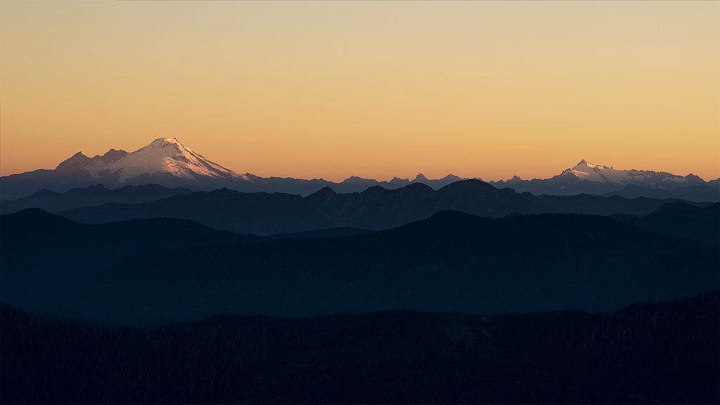
Baker Sunrise

Roesinger awakens

Picture-Perfect Day

Big ol caves.

foggy lake twenty two. washington. That magical moment when the fog clears.

The Lime Kiln
Marshmallow Meadow

Traveling Toward the Sun

Bridge Over Lake 22 Creek

Heather Lake Reflections

Lake 22 through the trees

Lake 22 Creek Waterfall

Swamp Rock

Melting pond (1 of 1)

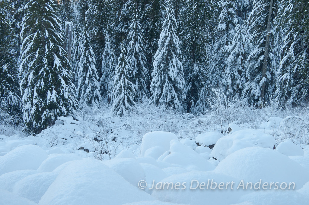
Winter's Foothold

Heather Lake

The Mountain Loop Highway
Topographic Map of Mountain Loop Hwy, Granite Falls, WA, USA
Find elevation by address:

Places near Mountain Loop Hwy, Granite Falls, WA, USA:
33924 Mountain Loop Hwy
Verlot Public Service Center
32815 Mountain Loop Hwy
32522 Mountain Loop Hwy
31611 Rivershore Ln
Mount Pilchuck
Snohomish County
23201 Alder Dr
7103 227th Ave Ne
23311 36th St Ne
3321 Alyson Dr
310 S Lake Roesiger Rd
22001 S River Dr
22505 45th Place Notheast
22607 29th Pl Ne
2301 Robe Menzel Rd
20825 Menzel Lake Rd
21108 Pilchuck Pl
210 S Alder Ave
4310 203rd Ave Ne
Recent Searches:
- Elevation of Jalan Senandin, Lutong, Miri, Sarawak, Malaysia
- Elevation of Bilohirs'k
- Elevation of 30 Oak Lawn Dr, Barkhamsted, CT, USA
- Elevation of Luther Road, Luther Rd, Auburn, CA, USA
- Elevation of Unnamed Road, Respublika Severnaya Osetiya — Alaniya, Russia
- Elevation of Verkhny Fiagdon, North Ossetia–Alania Republic, Russia
- Elevation of F. Viola Hiway, San Rafael, Bulacan, Philippines
- Elevation of Herbage Dr, Gulfport, MS, USA
- Elevation of Lilac Cir, Haldimand, ON N3W 2G9, Canada
- Elevation of Harrod Branch Road, Harrod Branch Rd, Kentucky, USA