Elevation of Mount Pilchuck, Mt Pilchuck, Washington, USA
Location: United States > Washington > Snohomish County > Granite Falls >
Longitude: -121.79679
Latitude: 48.0578807
Elevation: -10000m / -32808feet
Barometric Pressure: 295KPa
Elevation Map:
Satellite Map:
Related Photos:

Hadley Falls

Lake 22

Sun Kissed

Three Fingers at sunrise

Lake 22 Creek Waterfalls

M31 - Andromeda Galaxy from Sultan Basin

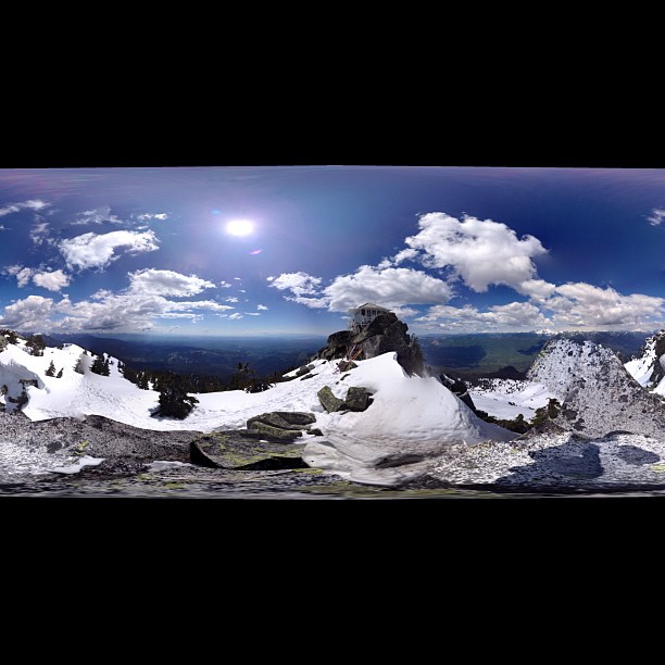
lookout view

The Mountain
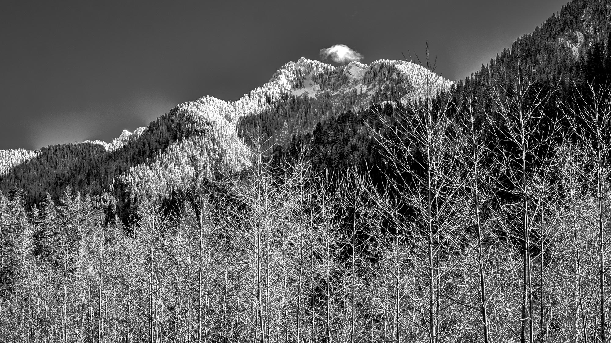
Mountain View with Cloud

almost frozen [heather lake]

The river wild

small lookout - big view

Cascade View

View from the top

At Last! The Lookout!

Pret-tay, pret-tay, pretty cool views out here.

Mossy Wet Goodness

Granite in Gray

TwentyTwo Creek On A Cloudy June Morning
Panoramic view

Lake 22 Creek Waterfall

Picture-Perfect Day

Big ol caves.

Bridge Over Lake 22 Creek

Roesinger awakens

South Fork Stillaguamish River

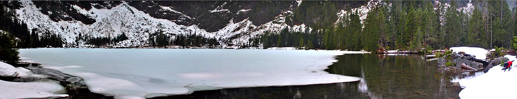
Heather Lake

Lake 22 Creek Waterfall

Granite Falls
Panoramic...damn square format

South Fork Stillaguamish River

River Bank Pattern

mount crumpit

Lake 22 Trail

Standing in streams

River Bank along the South Fork Stillaguamish River

Lake Twentytwo Trail, Mount Baker-Snoqualmie National Forest, Washington

Stillaguamish River
Topographic Map of Mount Pilchuck, Mt Pilchuck, Washington, USA
Find elevation by address:

Places near Mount Pilchuck, Mt Pilchuck, Washington, USA:
Verlot Public Service Center
33914 Mountain Loop Hwy
33924 Mountain Loop Hwy
32522 Mountain Loop Hwy
31611 Rivershore Ln
32815 Mountain Loop Hwy
Snohomish County
310 S Lake Roesiger Rd
23311 36th St Ne
3321 Alyson Dr
7103 227th Ave Ne
22607 29th Pl Ne
22505 45th Place Notheast
2301 Robe Menzel Rd
23201 Alder Dr
21108 Pilchuck Pl
22001 S River Dr
20825 Menzel Lake Rd
4310 203rd Ave Ne
5918 Robe Menzel Rd
Recent Searches:
- Elevation of Warwick, RI, USA
- Elevation of Fern Rd, Whitmore, CA, USA
- Elevation of 62 Abbey St, Marshfield, MA, USA
- Elevation of Fernwood, Bradenton, FL, USA
- Elevation of Felindre, Swansea SA5 7LU, UK
- Elevation of Leyte Industrial Development Estate, Isabel, Leyte, Philippines
- Elevation of W Granada St, Tampa, FL, USA
- Elevation of Pykes Down, Ivybridge PL21 0BY, UK
- Elevation of Jalan Senandin, Lutong, Miri, Sarawak, Malaysia
- Elevation of Bilohirs'k