Elevation of Mount Siegel, Mt Siegel, Nevada, USA
Location: United States > Nevada > Gardnerville >
Longitude: -119.50155
Latitude: 38.8896324
Elevation: 2349m / 7707feet
Barometric Pressure: 76KPa
Elevation Map:
Satellite Map:
Related Photos:
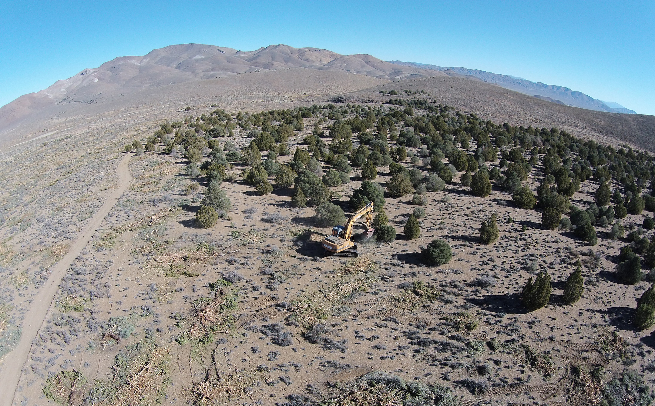
An aerial view of mastication efforts in Nevada
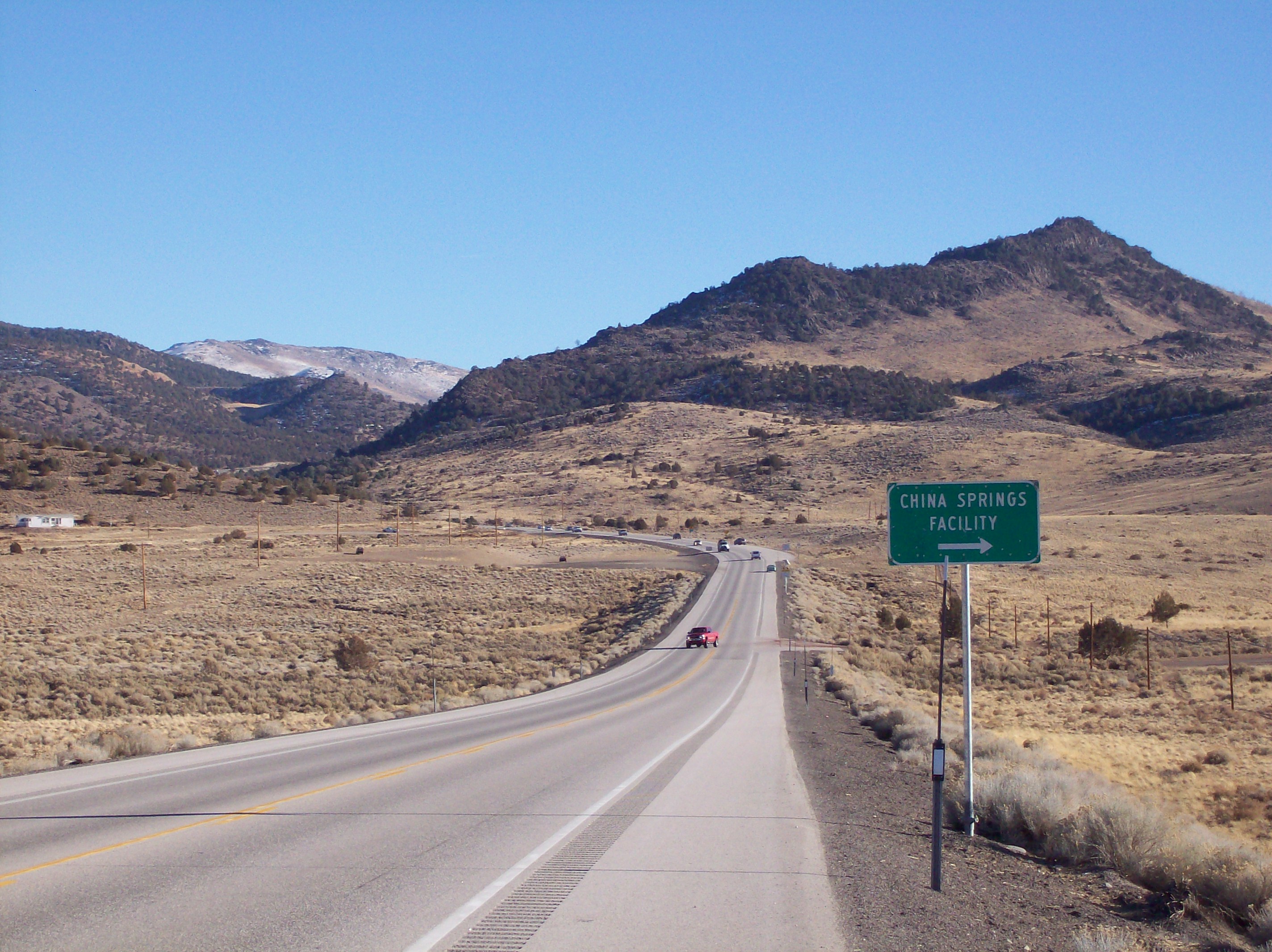
Bodie Flats
Topographic Map of Mount Siegel, Mt Siegel, Nevada, USA
Find elevation by address:

Places near Mount Siegel, Mt Siegel, Nevada, USA:
201 Artesia Rd
Artesia Rd, Wellington, NV, USA
Artesia Rd, Wellington, NV, USA
49 Jessen Rd
Burke Dr, Wellington, NV, USA
1200 Spatter Cone Rd
Spatter Cone Road
3830 Slate Ct
34 Wild Peach Ln
205 Jessen Rd
231 Jessen Rd
222 Artist View Rd
Smith Valley
Wellington
483 Hudson Aurora Rd
Topaz
11 Topaz Ln, Topaz, CA, USA
3 Bluestone Ave
230 Nv-339
Coleville
Recent Searches:
- Elevation of Corso Fratelli Cairoli, 35, Macerata MC, Italy
- Elevation of Tallevast Rd, Sarasota, FL, USA
- Elevation of 4th St E, Sonoma, CA, USA
- Elevation of Black Hollow Rd, Pennsdale, PA, USA
- Elevation of Oakland Ave, Williamsport, PA, USA
- Elevation of Pedrógão Grande, Portugal
- Elevation of Klee Dr, Martinsburg, WV, USA
- Elevation of Via Roma, Pieranica CR, Italy
- Elevation of Tavkvetili Mountain, Georgia
- Elevation of Hartfords Bluff Cir, Mt Pleasant, SC, USA