Elevation of Artesia Rd, Wellington, NV, USA
Location: United States > Nevada > Lyon County > Smith Valley > Wellington >
Longitude: -119.41820
Latitude: 38.867851
Elevation: 1479m / 4852feet
Barometric Pressure: 85KPa
Elevation Map:
Satellite Map:
Related Photos:

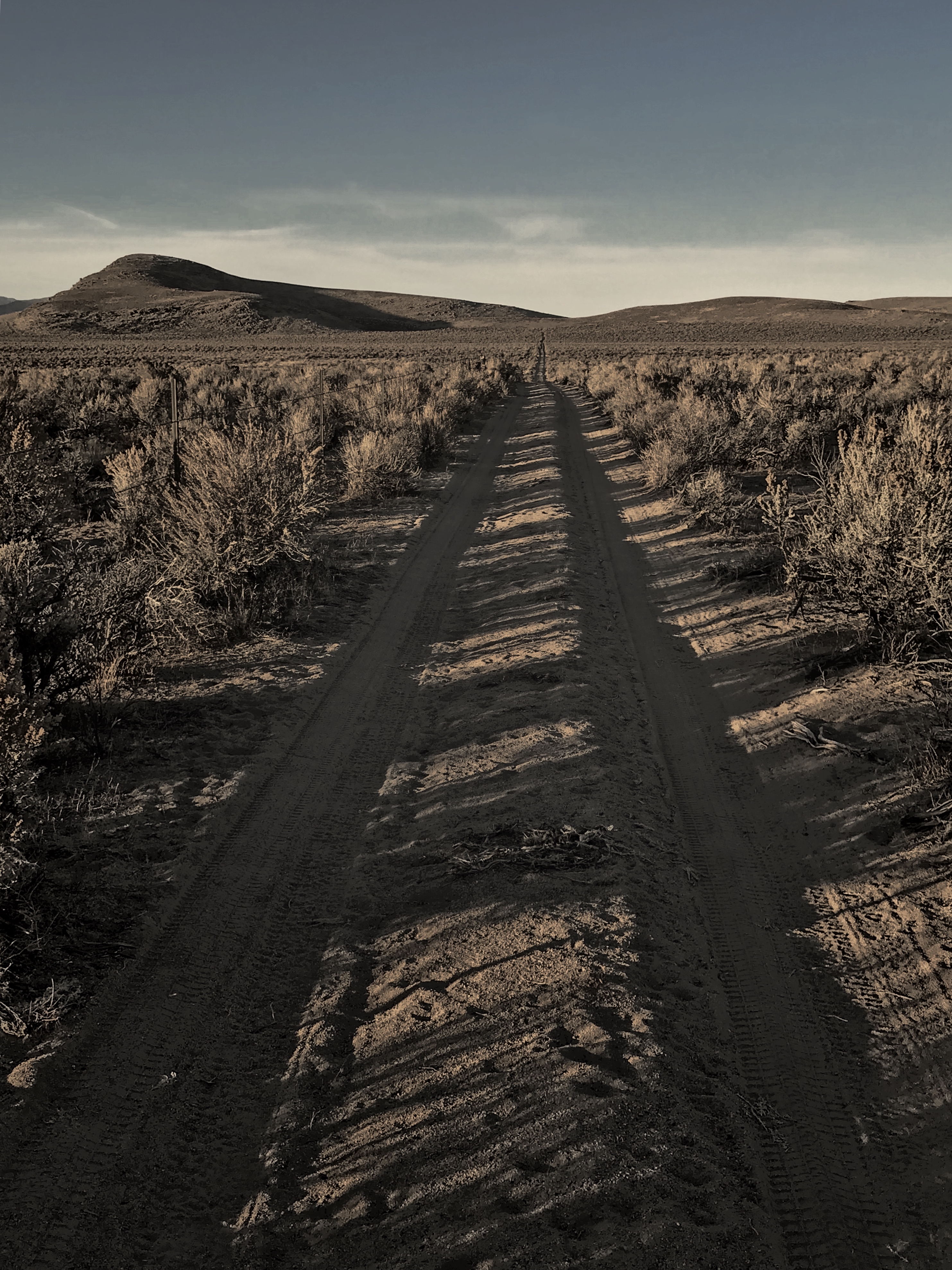
Launch view, Rockonn, Artesia Lake
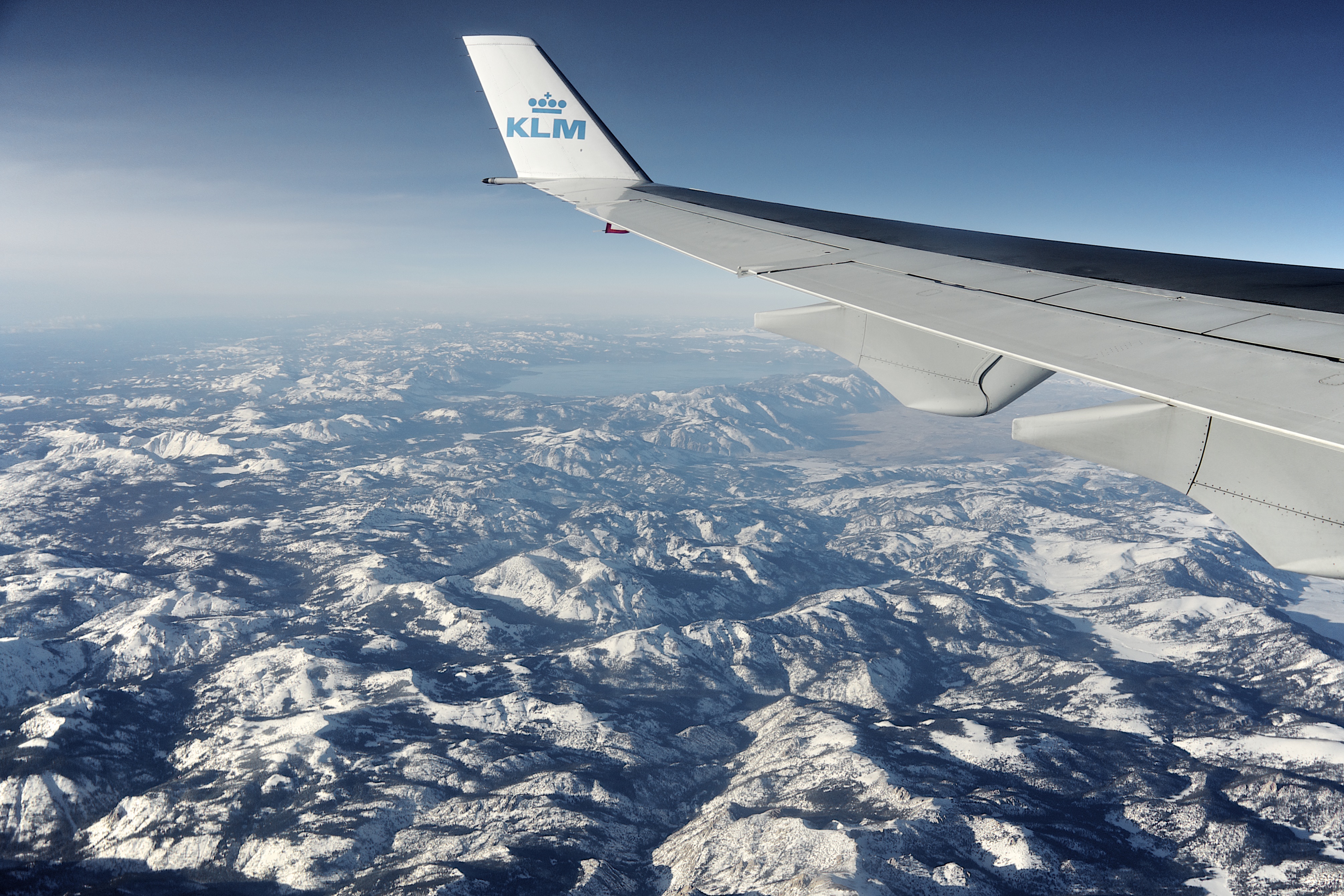
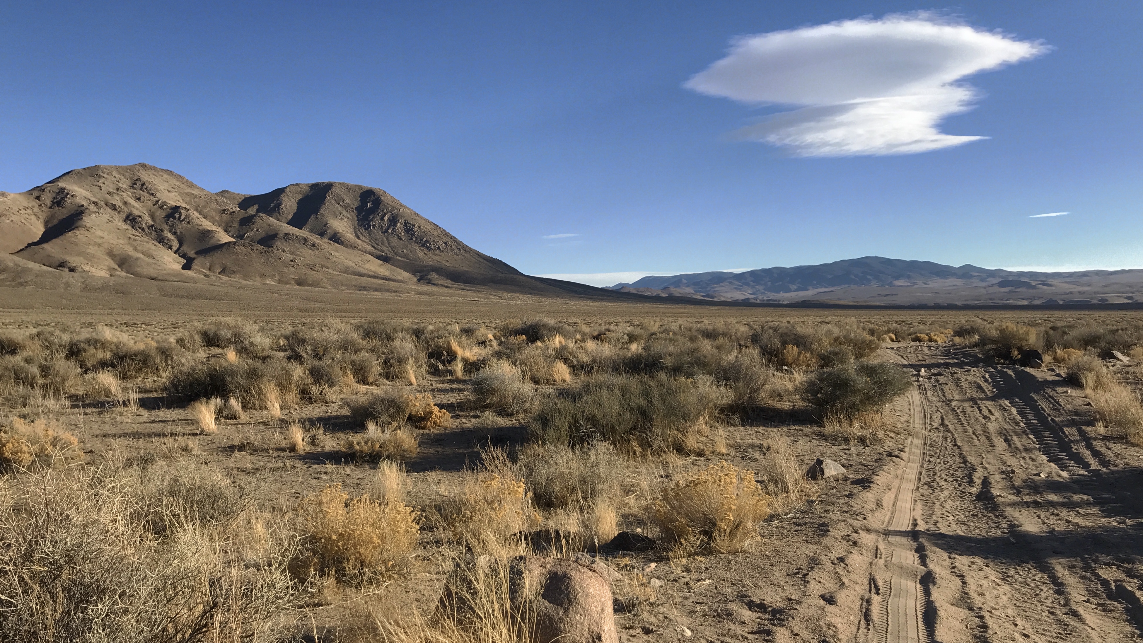
Nevada from the sky
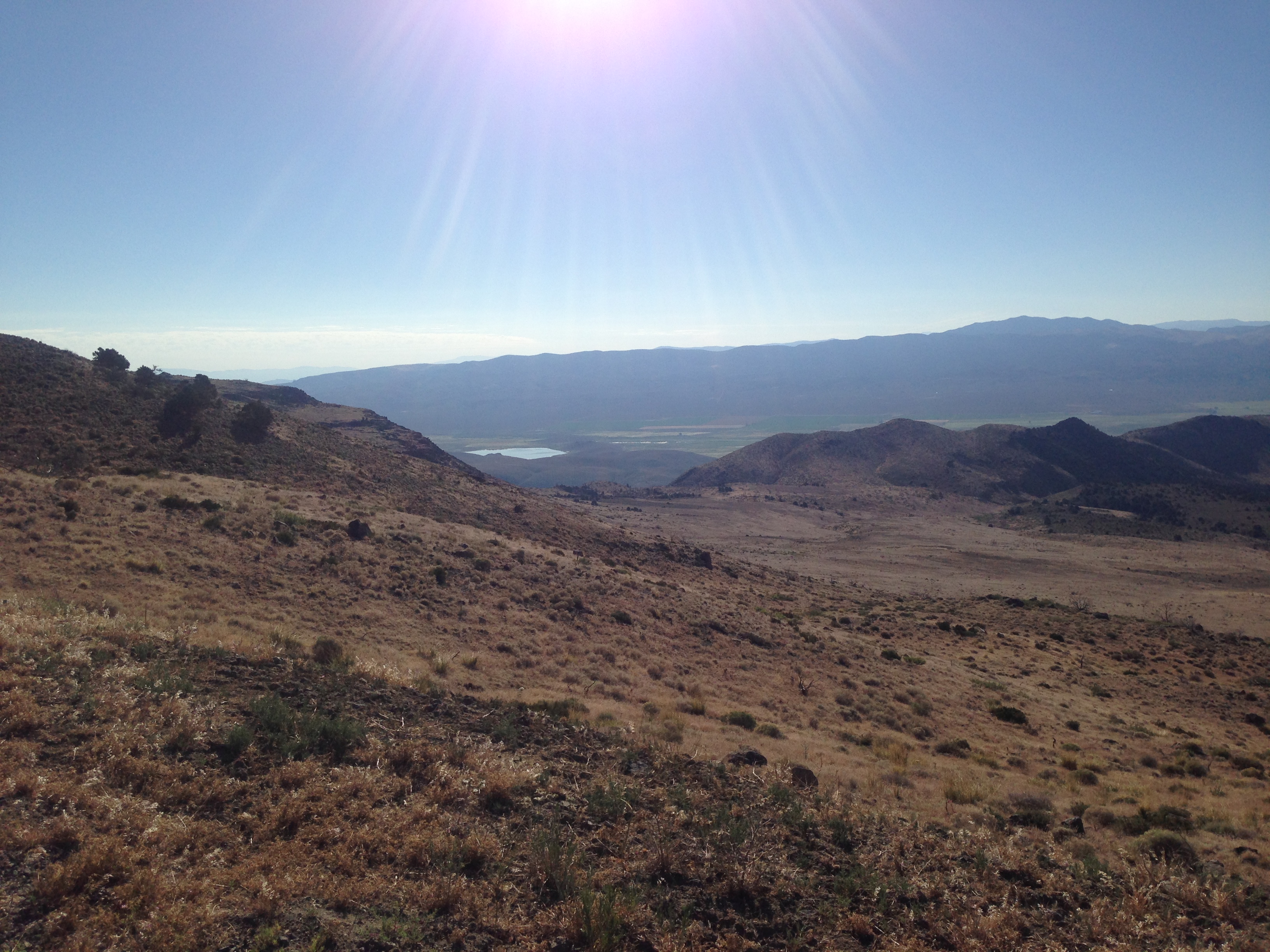
Monitor Pass View
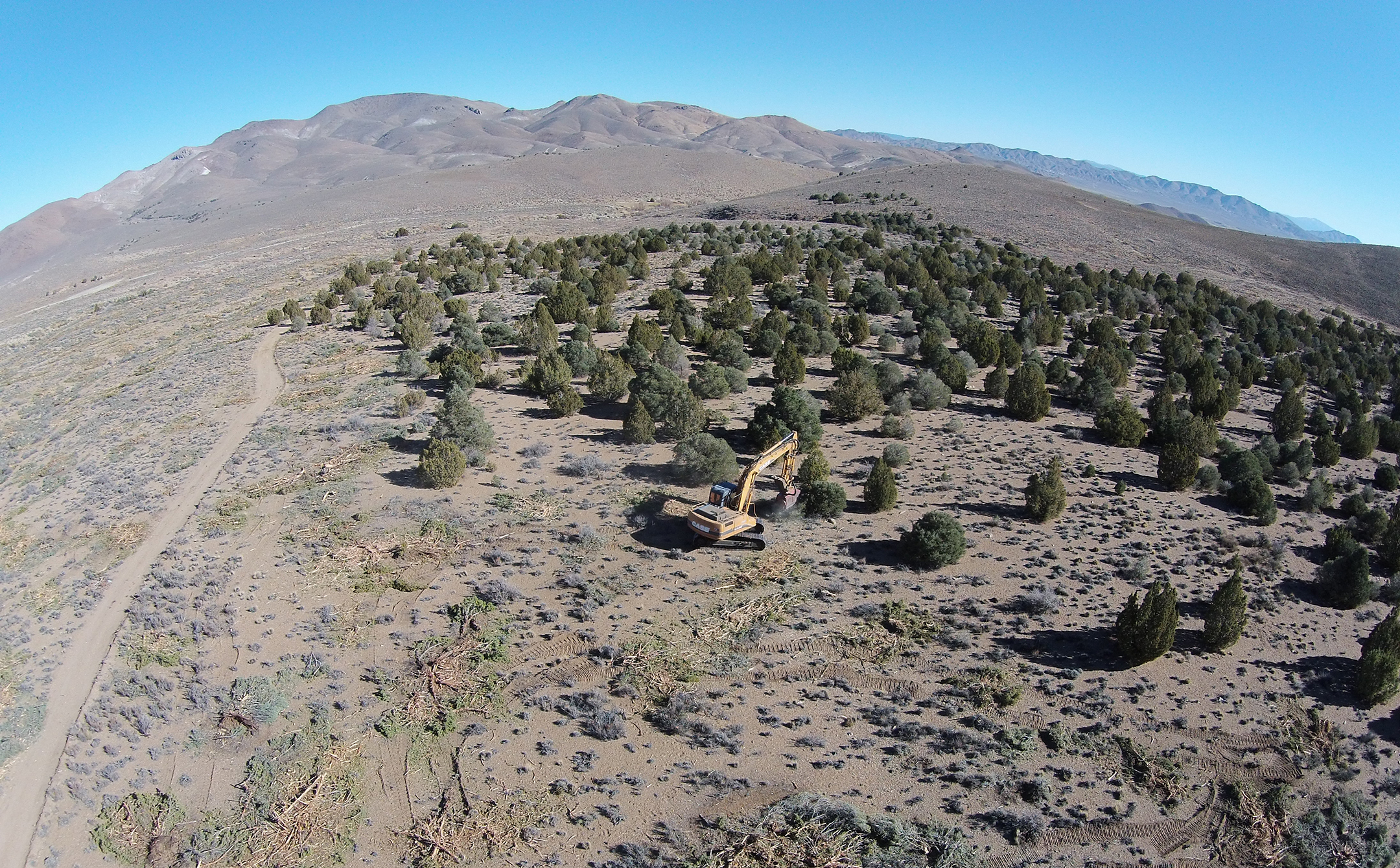
An aerial view of mastication efforts in Nevada
Topaz, NV
Geocashe Smith Valley
Geocashe Smith Valley
DSC_0023-a10
Wyoming big sagebrush steppe: N of Topaz Lake
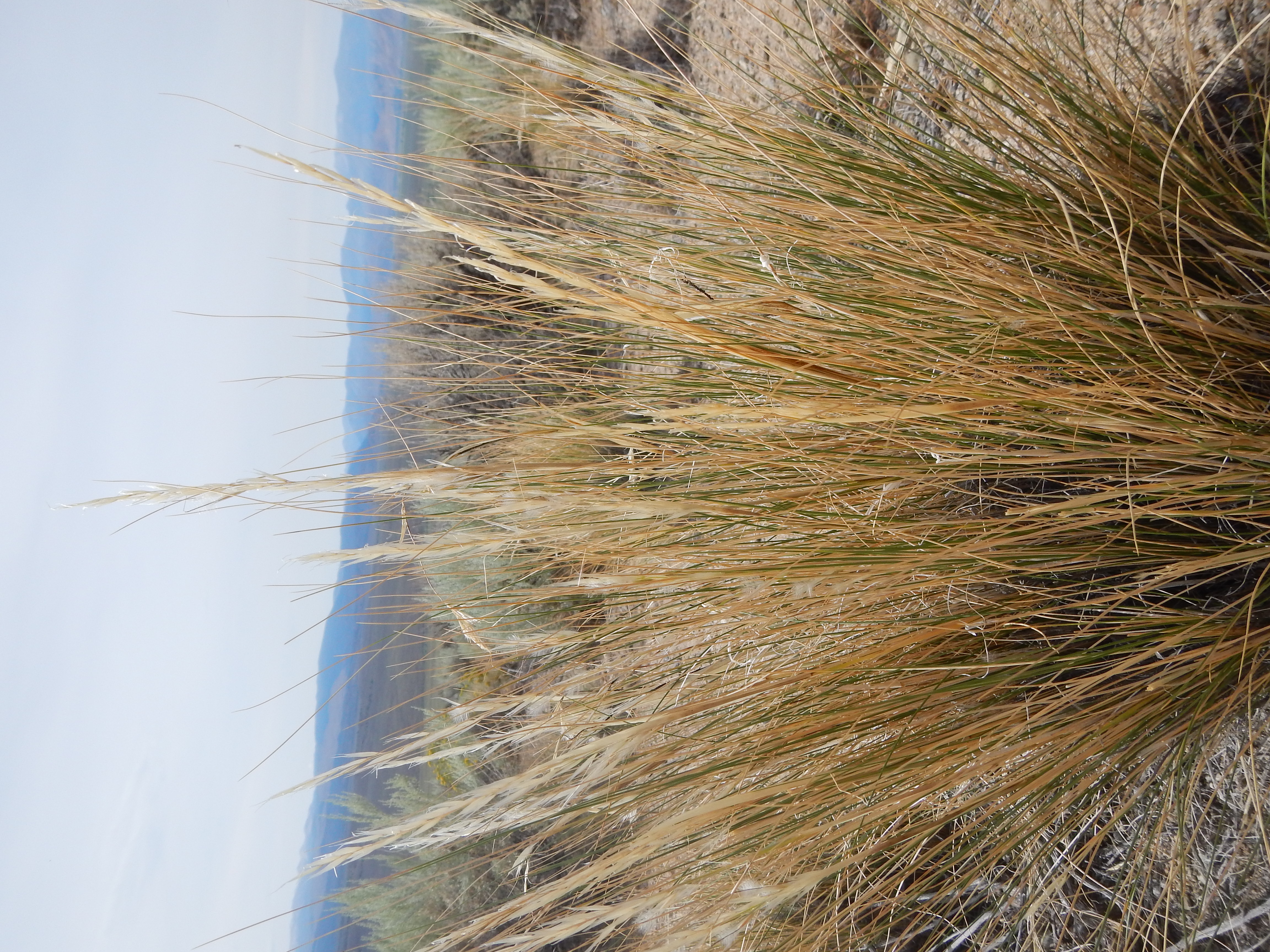
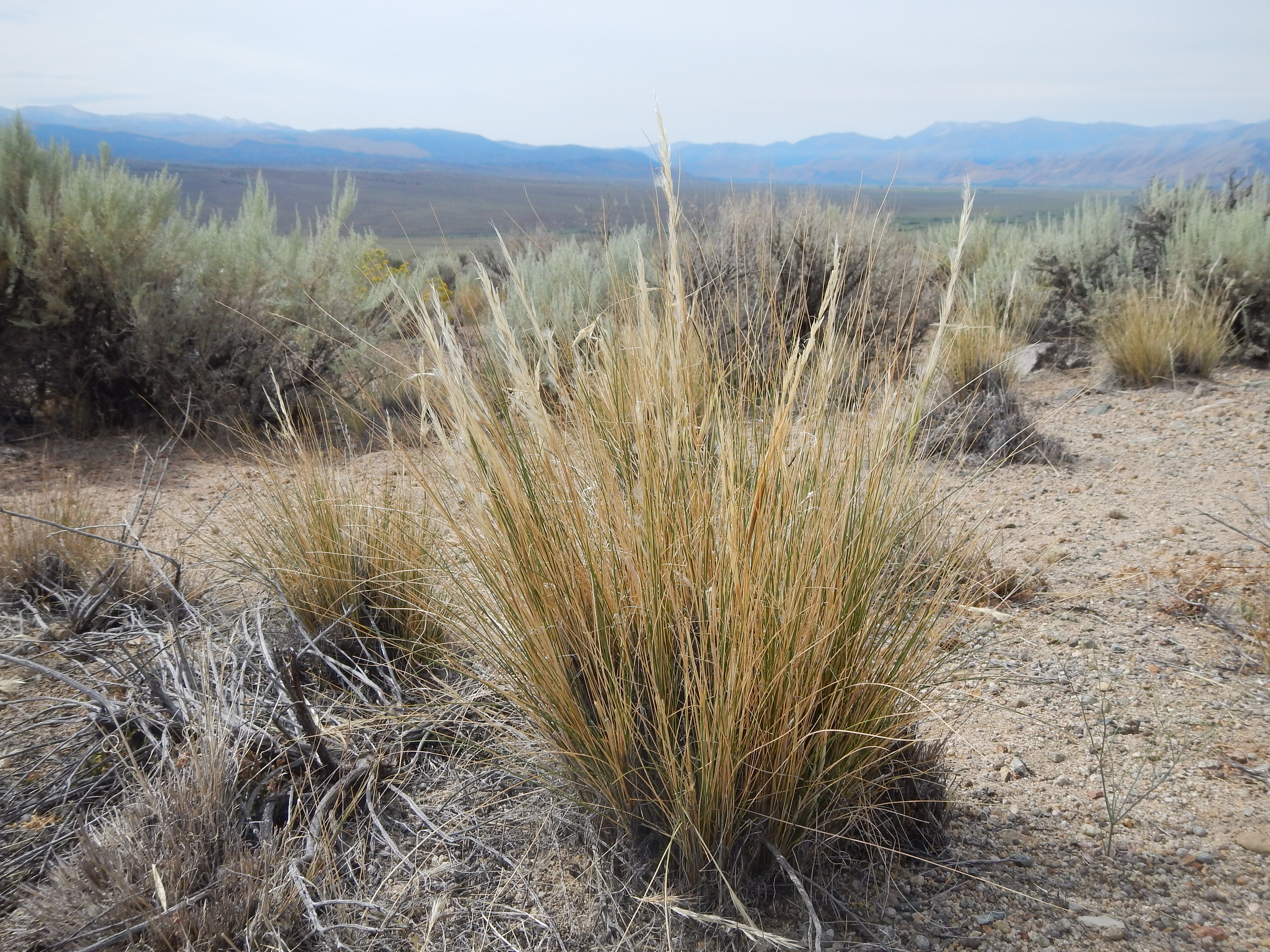
Stipa speciosa (Achnatherum speciosum)
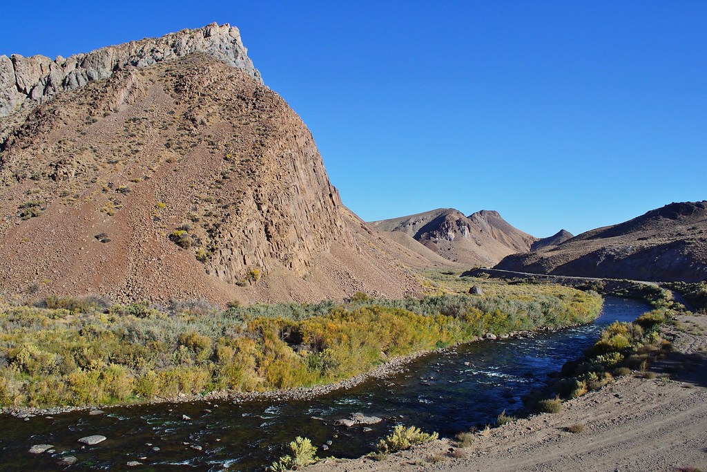
west walker river

DSC_0024-a11

Mount_Como-20090523-124244

Mount_Como-20090523-134002
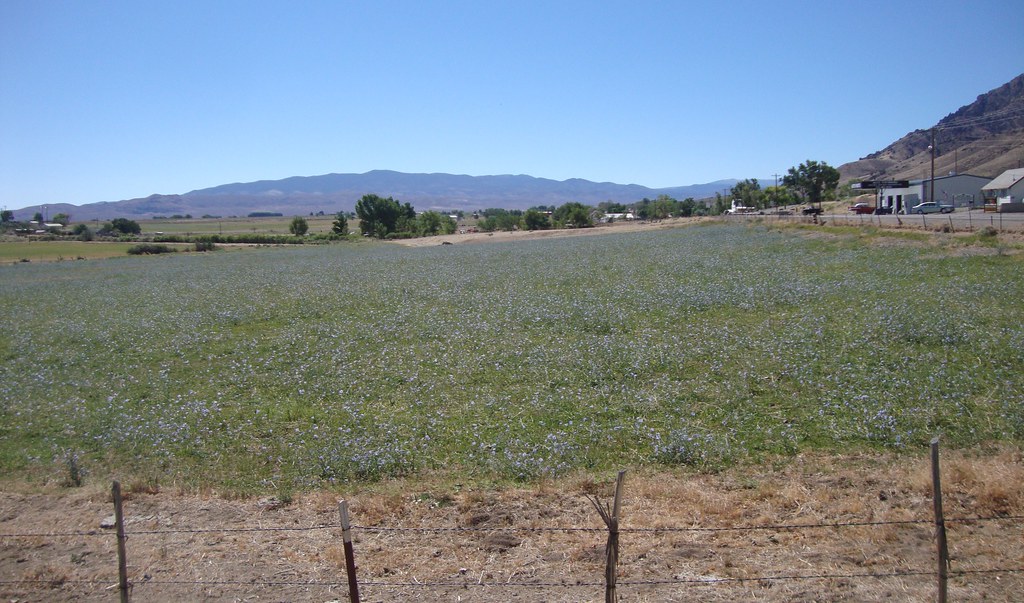
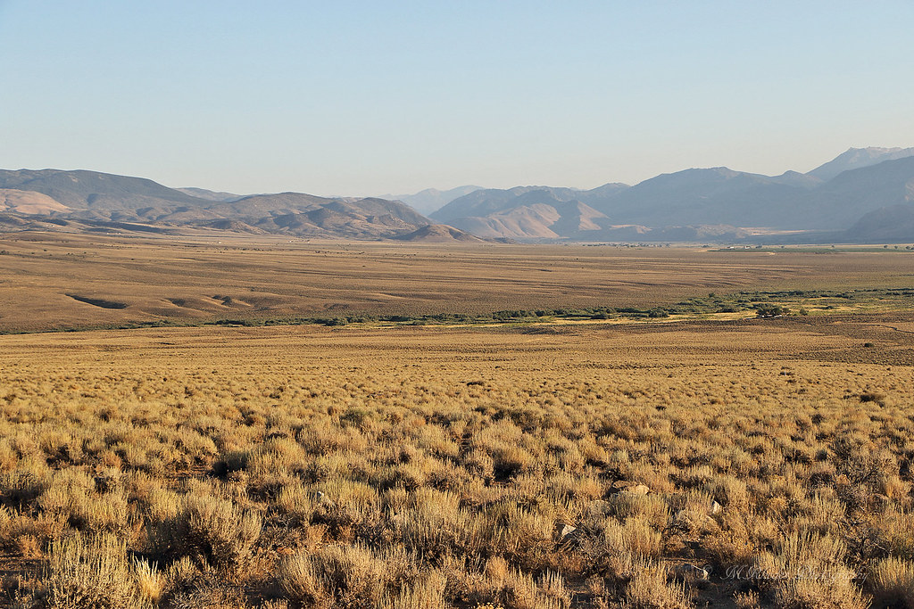
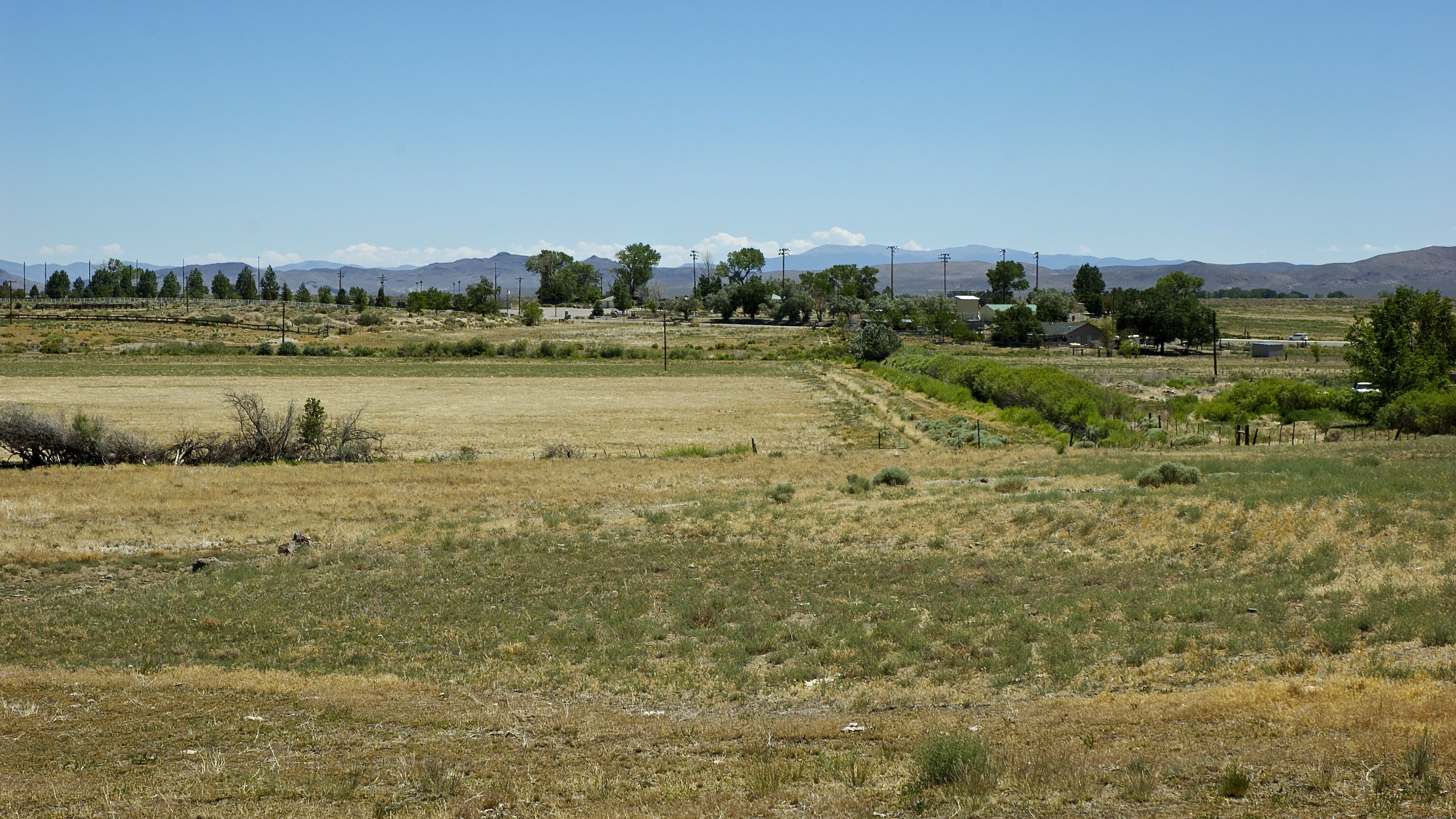
Walker River Valley (Wellington, Nevada)

Stipa speciosa (Achnatherum speciosum)
Topographic Map of Artesia Rd, Wellington, NV, USA
Find elevation by address:

Places near Artesia Rd, Wellington, NV, USA:
49 Jessen Rd
Artesia Rd, Wellington, NV, USA
Burke Dr, Wellington, NV, USA
205 Jessen Rd
231 Jessen Rd
34 Wild Peach Ln
222 Artist View Rd
Artesia Rd, Wellington, NV, USA
Mount Siegel
Smith Valley
Wellington
1200 Spatter Cone Rd
Spatter Cone Road
3830 Slate Ct
483 Hudson Aurora Rd
3 Bluestone Ave
230 Nv-339
41 NV-, Yerington, NV, USA
39 Fairway Dr
Topaz
Recent Searches:
- Elevation of Groblershoop, South Africa
- Elevation of Power Generation Enterprises | Industrial Diesel Generators, Oak Ave, Canyon Country, CA, USA
- Elevation of Chesaw Rd, Oroville, WA, USA
- Elevation of N, Mt Pleasant, UT, USA
- Elevation of 6 Rue Jules Ferry, Beausoleil, France
- Elevation of Sattva Horizon, 4JC6+G9P, Vinayak Nagar, Kattigenahalli, Bengaluru, Karnataka, India
- Elevation of Great Brook Sports, Gold Star Hwy, Groton, CT, USA
- Elevation of 10 Mountain Laurels Dr, Nashua, NH, USA
- Elevation of 16 Gilboa Ln, Nashua, NH, USA
- Elevation of Laurel Rd, Townsend, TN, USA