Elevation of Artist View Rd, Wellington, NV, USA
Location: United States > Nevada > Lyon County > Smith Valley > Wellington >
Longitude: -119.35996
Latitude: 38.8172297
Elevation: 1465m / 4806feet
Barometric Pressure: 85KPa
Elevation Map:
Satellite Map:
Related Photos:

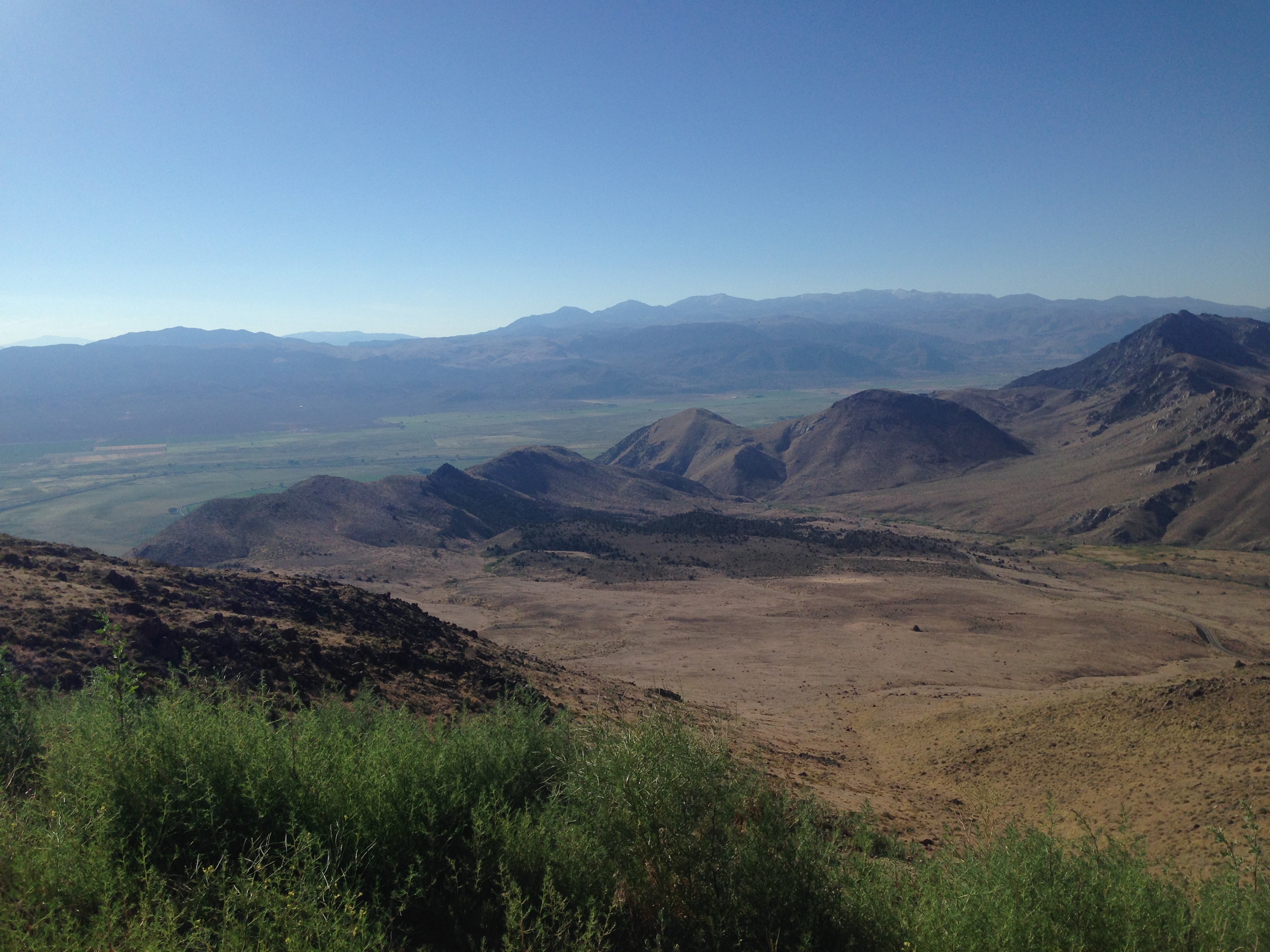
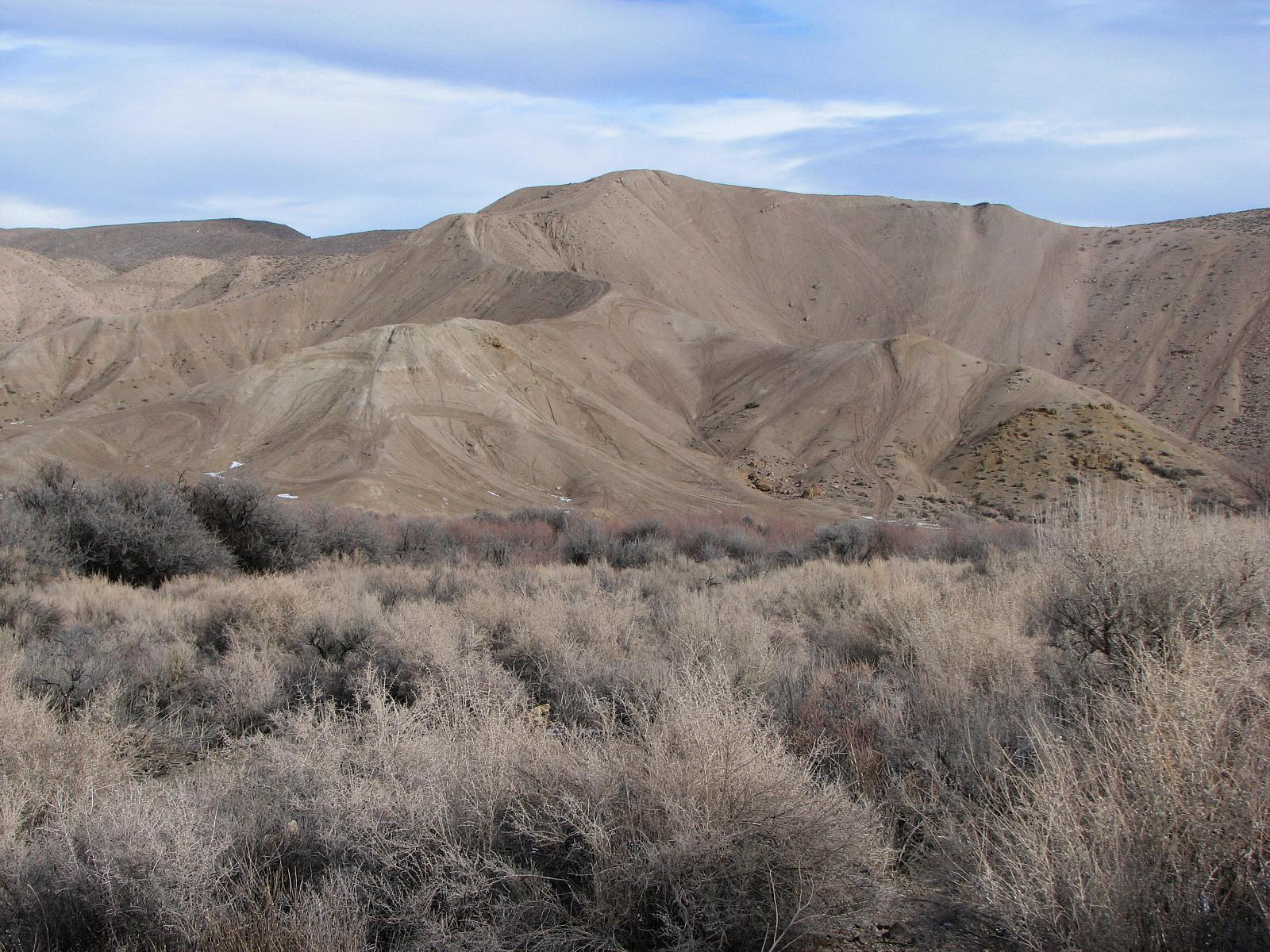
Launch view, Rockonn, Artesia Lake
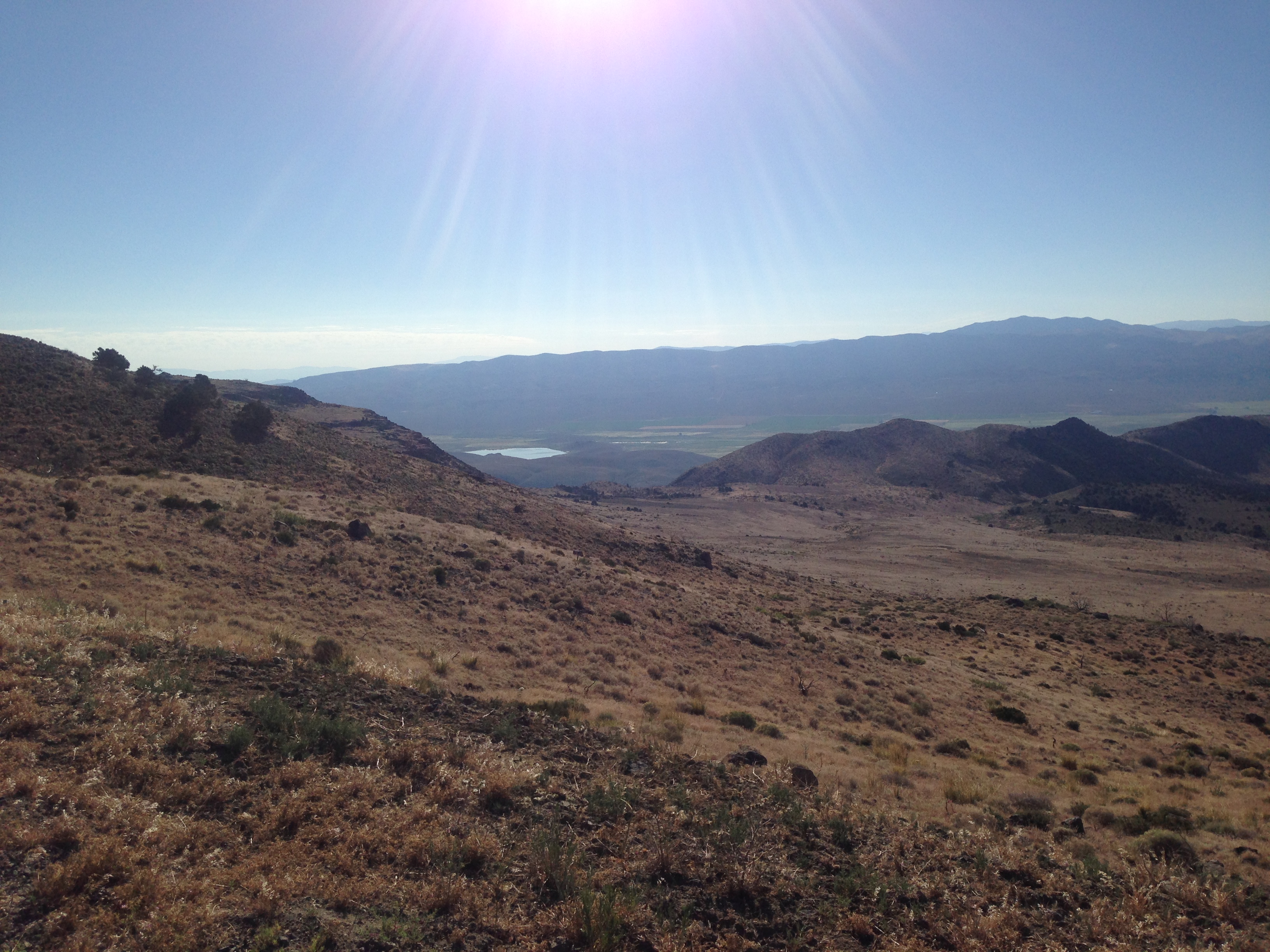
Monitor Pass View
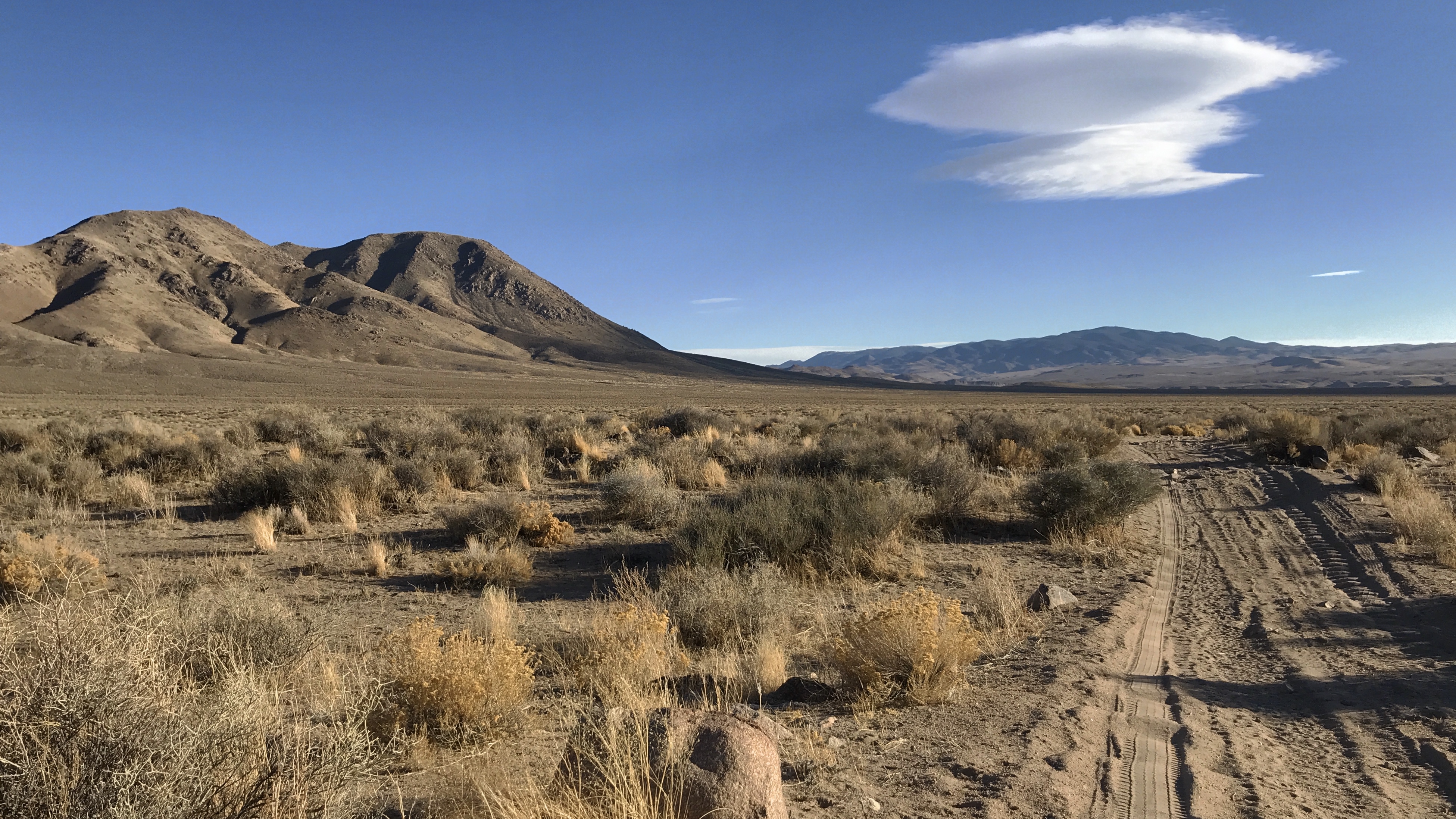
Topaz, NV
Wyoming big sagebrush steppe: N of Topaz Lake

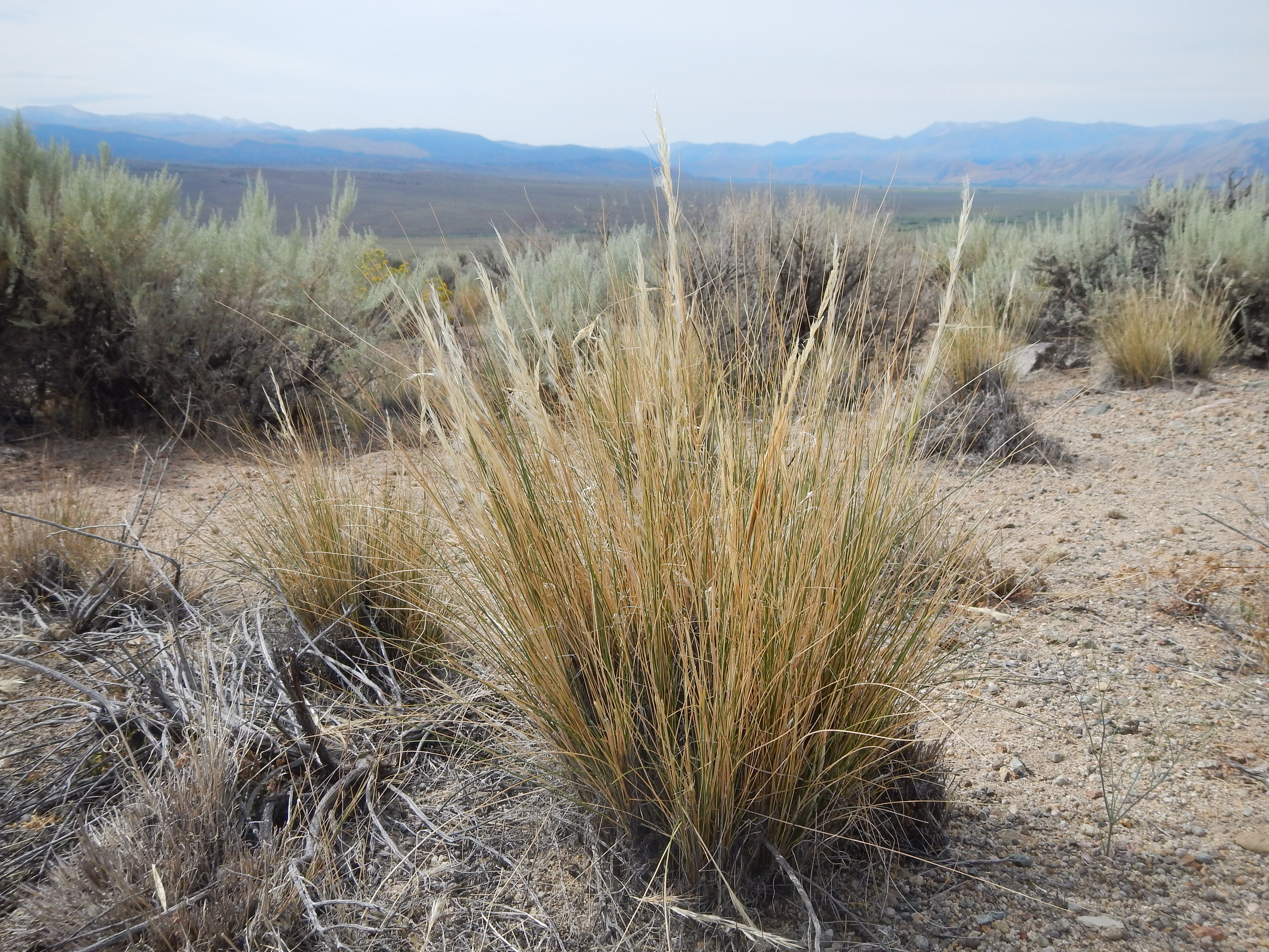
Stipa speciosa (Achnatherum speciosum)
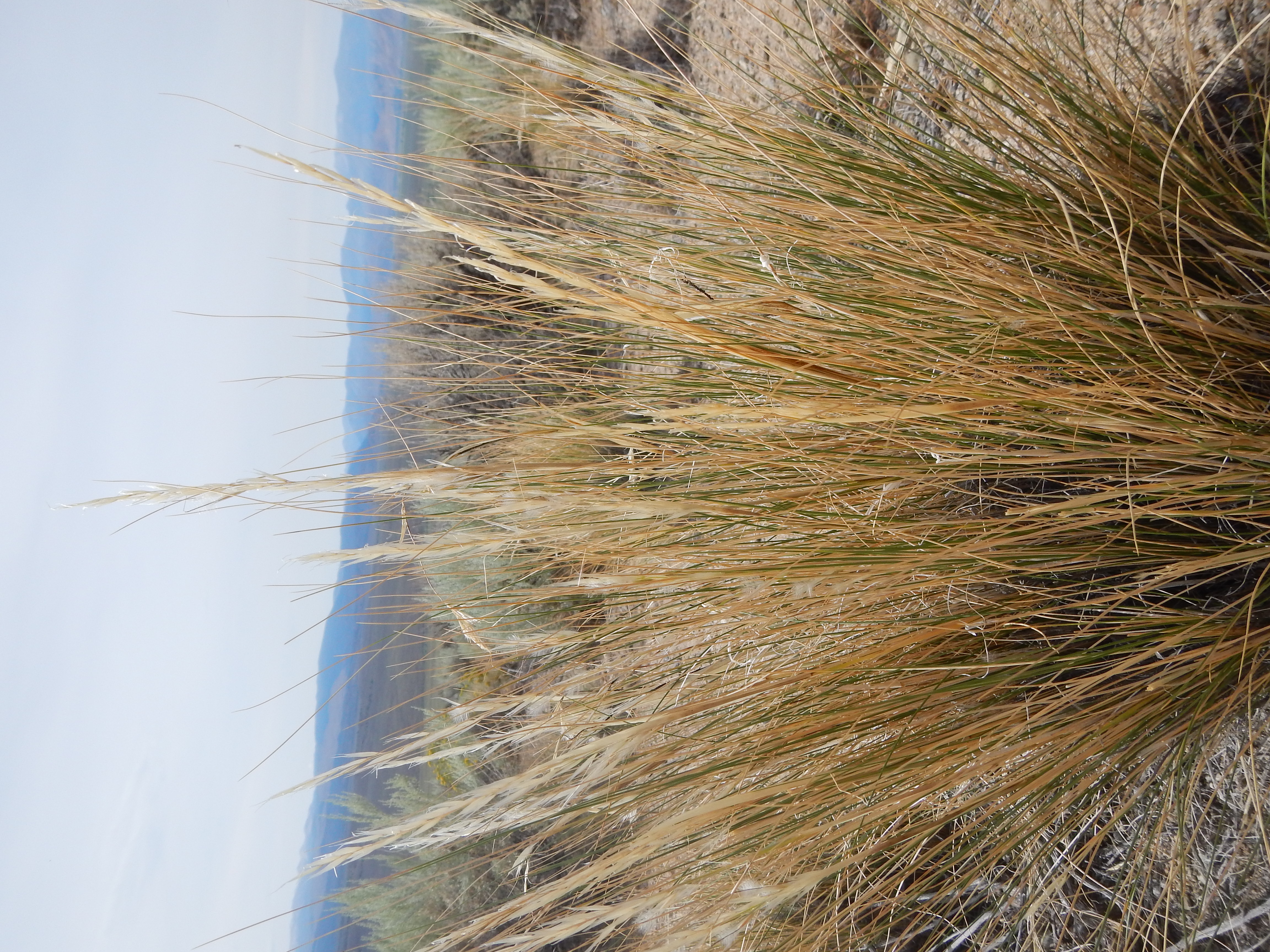
Stipa speciosa (Achnatherum speciosum)
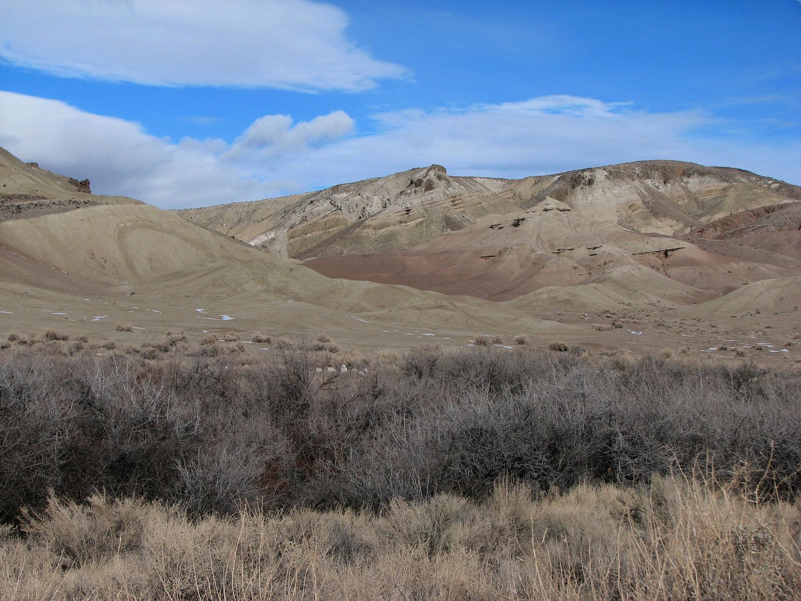
Geocashe Smith Valley
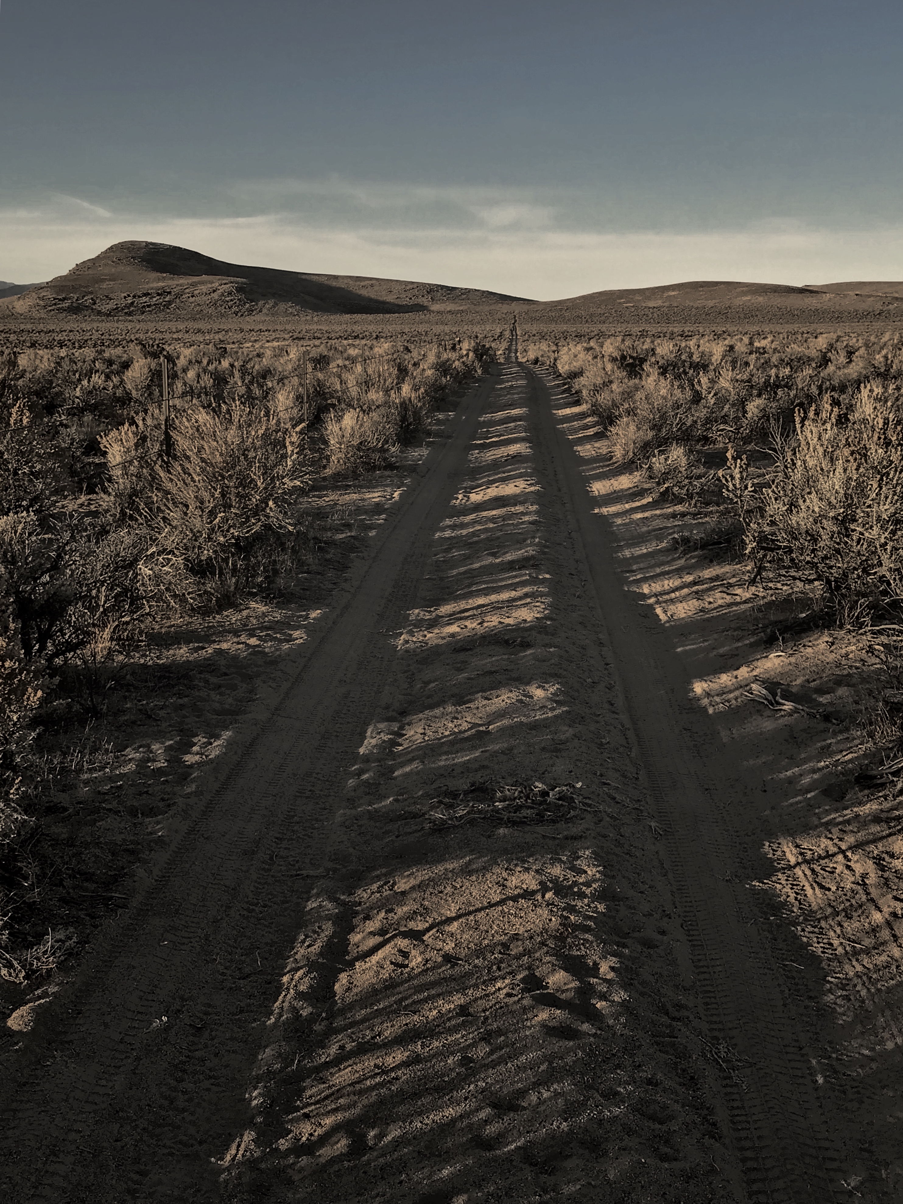
Wellington cunoff, 829, Nevada
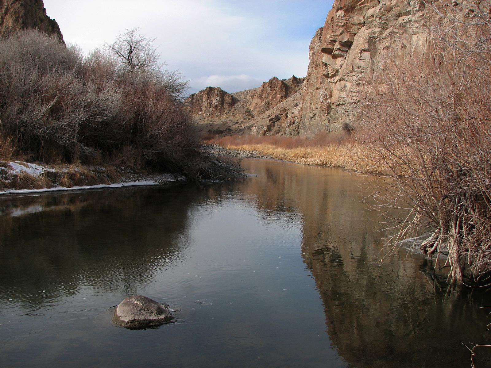
Wilson Canyon
Geocashe Smith Valley

DSC_0024-a11

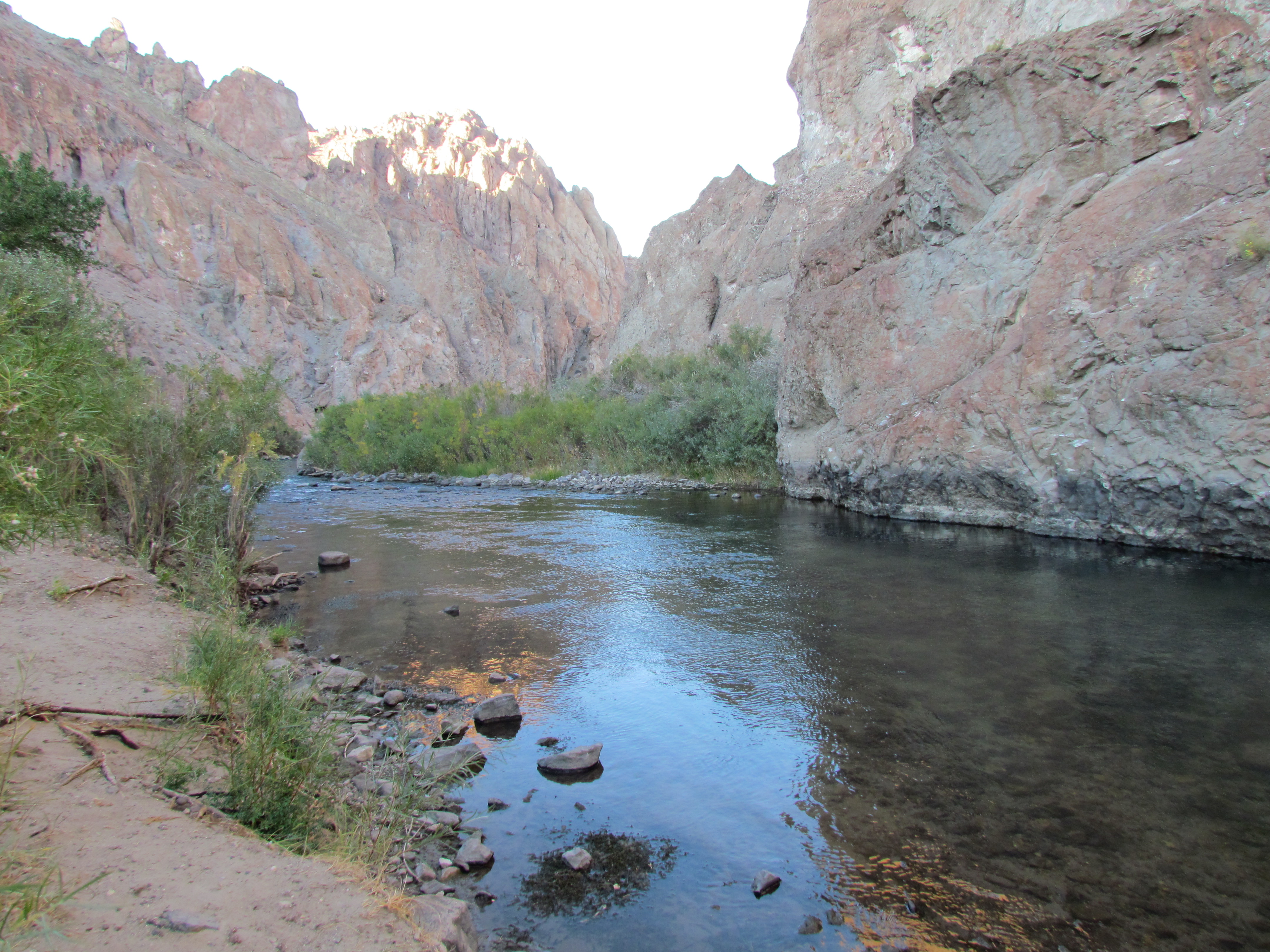
Wilson Canyon
Monitor Pass View
Wilson Canyon Recreation Area
Picture 395
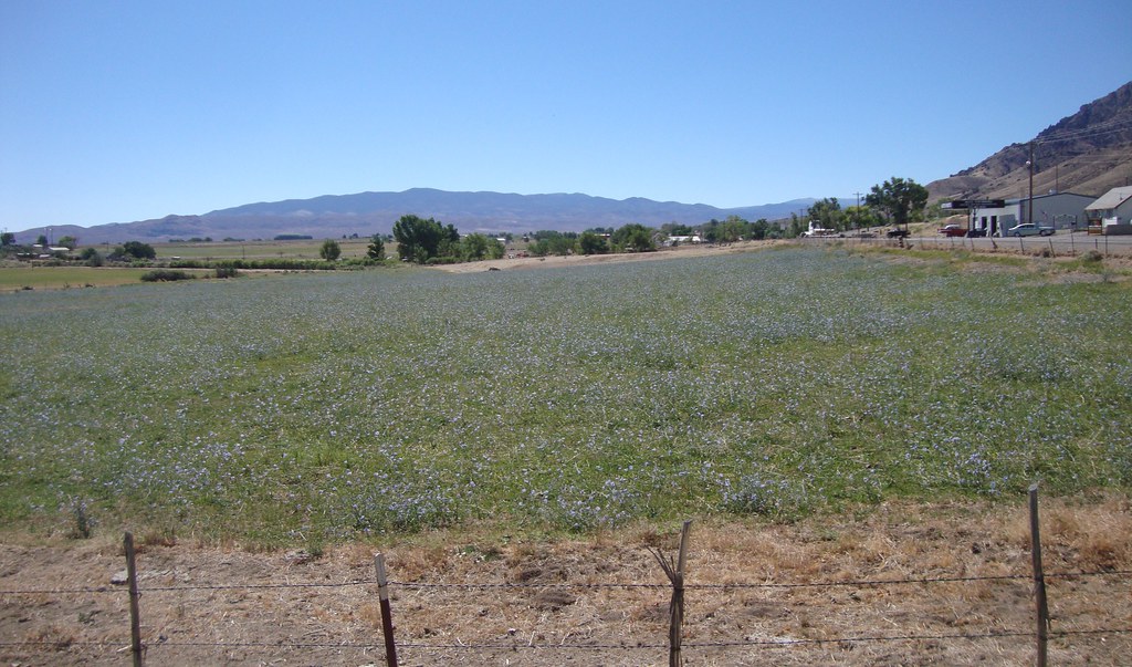
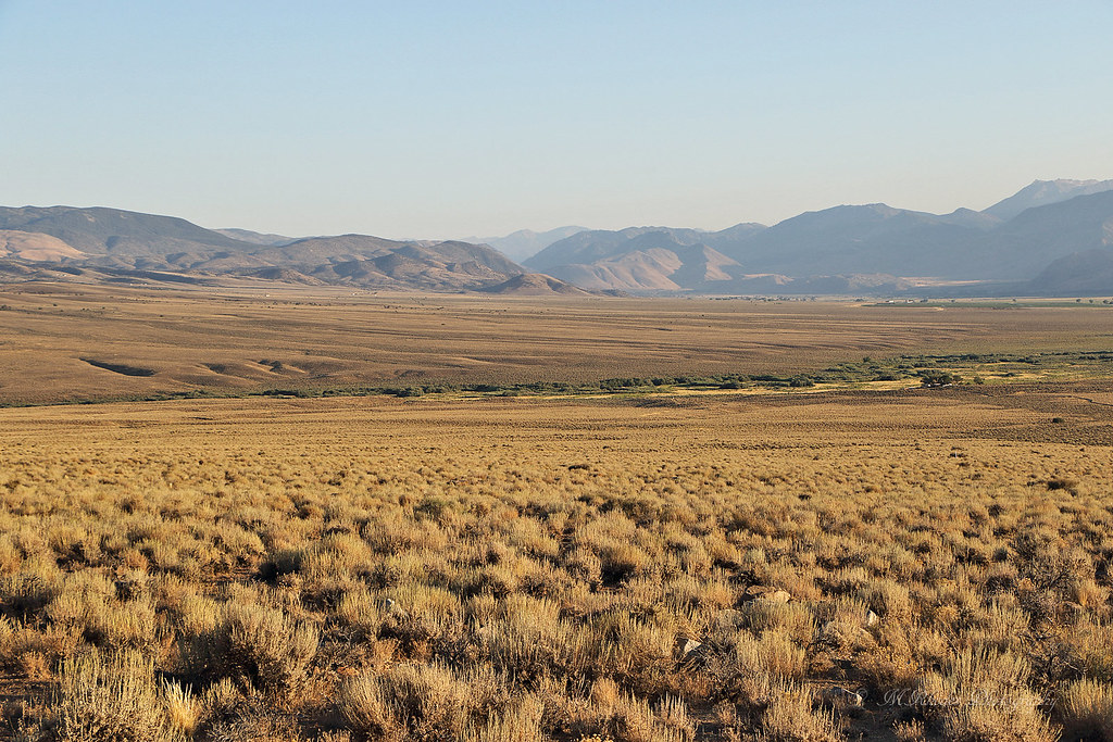
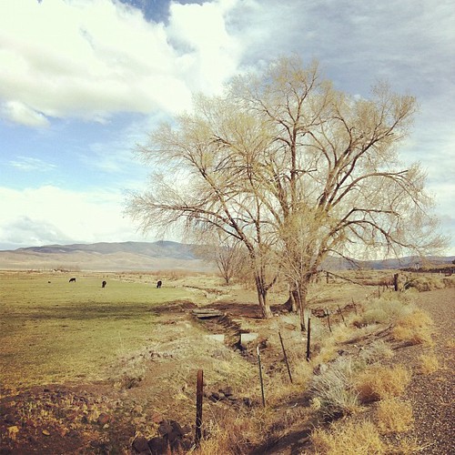
Walker River Valley (Wellington, Nevada)

Topaz Lake, NV and CA #lake #hasselblad
Wilson Canyon Recreation Area
Topographic Map of Artist View Rd, Wellington, NV, USA
Find elevation by address:

Places near Artist View Rd, Wellington, NV, USA:
Smith Valley
34 Wild Peach Ln
205 Jessen Rd
231 Jessen Rd
49 Jessen Rd
Wellington
201 Artesia Rd
Burke Dr, Wellington, NV, USA
483 Hudson Aurora Rd
Artesia Rd, Wellington, NV, USA
Artesia Rd, Wellington, NV, USA
Mount Siegel
1200 Spatter Cone Rd
Spatter Cone Road
3830 Slate Ct
3 Bluestone Ave
230 Nv-339
39 Fairway Dr
41 NV-, Yerington, NV, USA
Lyon County
Recent Searches:
- Elevation of Rojo Ct, Atascadero, CA, USA
- Elevation of Flagstaff Drive, Flagstaff Dr, North Carolina, USA
- Elevation of Avery Ln, Lakeland, FL, USA
- Elevation of Woolwine, VA, USA
- Elevation of Lumagwas Diversified Farmers Multi-Purpose Cooperative, Lumagwas, Adtuyon, RV32+MH7, Pangantucan, Bukidnon, Philippines
- Elevation of Homestead Ridge, New Braunfels, TX, USA
- Elevation of Orchard Road, Orchard Rd, Marlborough, NY, USA
- Elevation of 12 Hutchinson Woods Dr, Fletcher, NC, USA
- Elevation of Holloway Ave, San Francisco, CA, USA
- Elevation of Norfolk, NY, USA