Elevation of NV-, Yerington, NV, USA
Location: United States > Nevada > Lyon County > Yerington >
Longitude: -119.18796
Latitude: 38.962229
Elevation: 1342m / 4403feet
Barometric Pressure: 86KPa
Elevation Map:
Satellite Map:
Related Photos:

Launch view, Rockonn, Artesia Lake
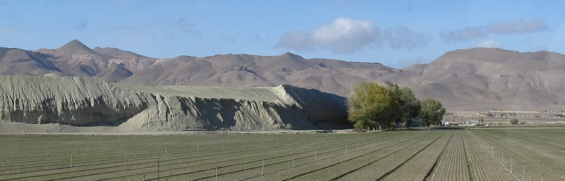
Anaconda Copper Mine, Near Yerington, Nevada
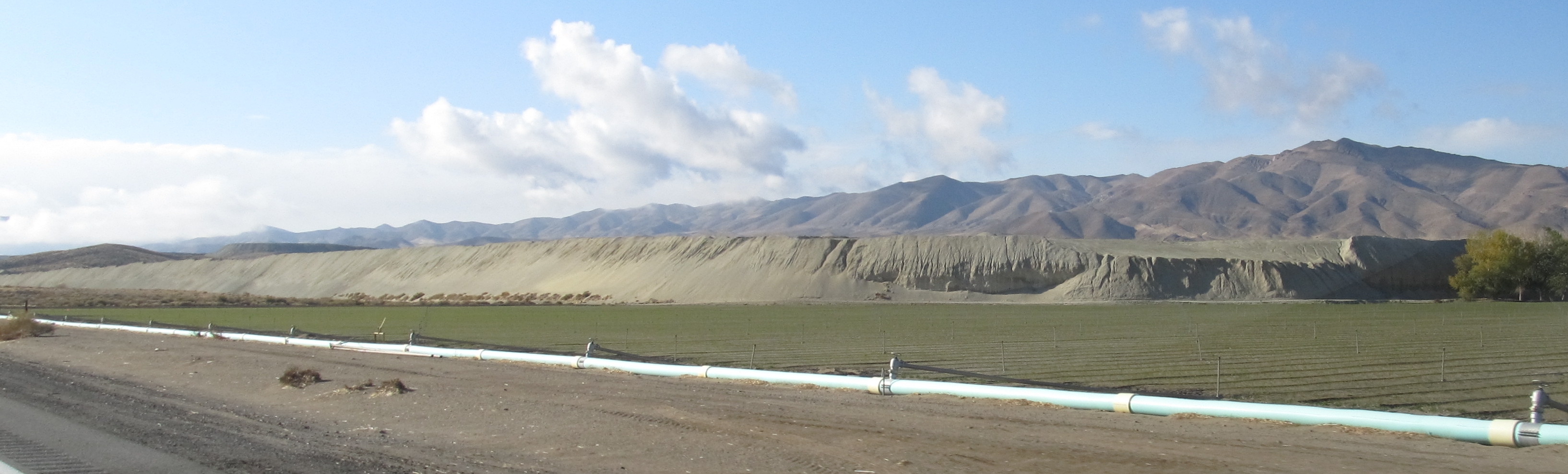
Anaconda Copper Mine, Near Yerington, Nevada
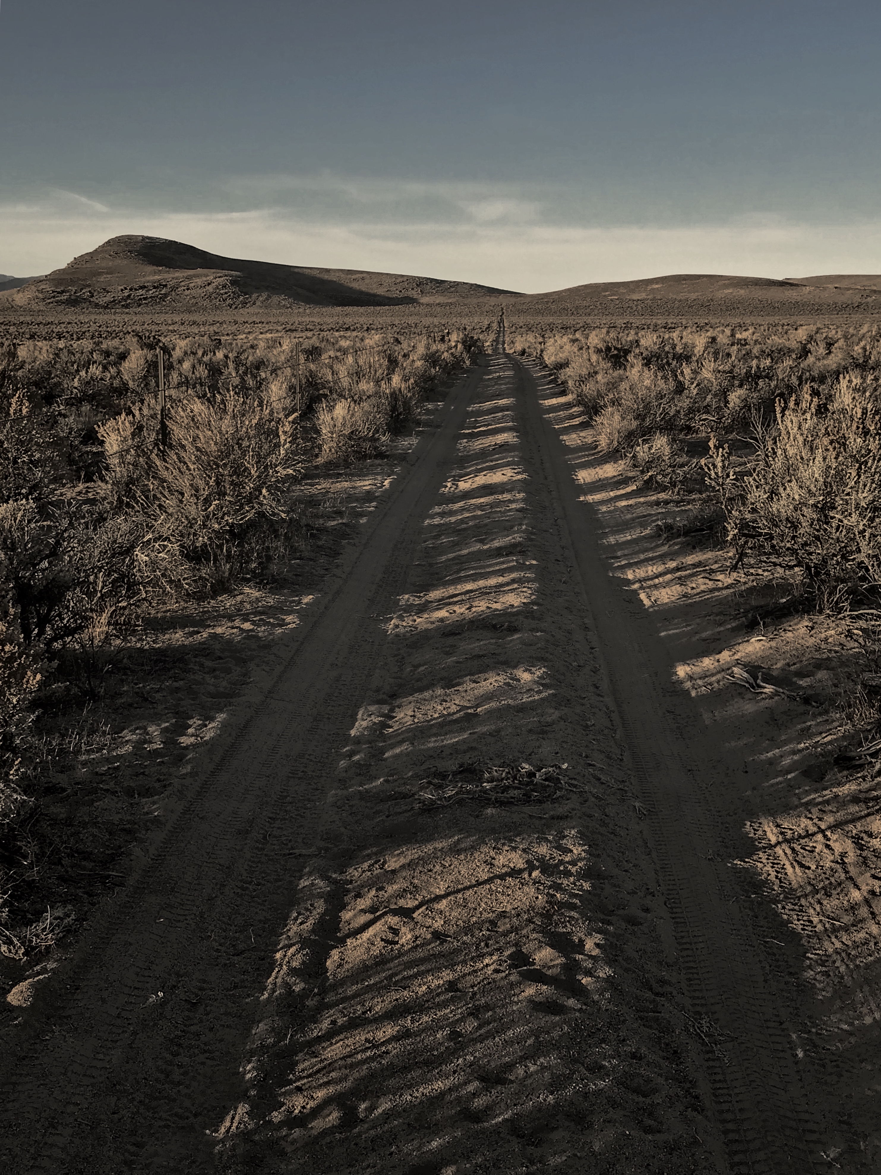
Geocashe Smith Valley

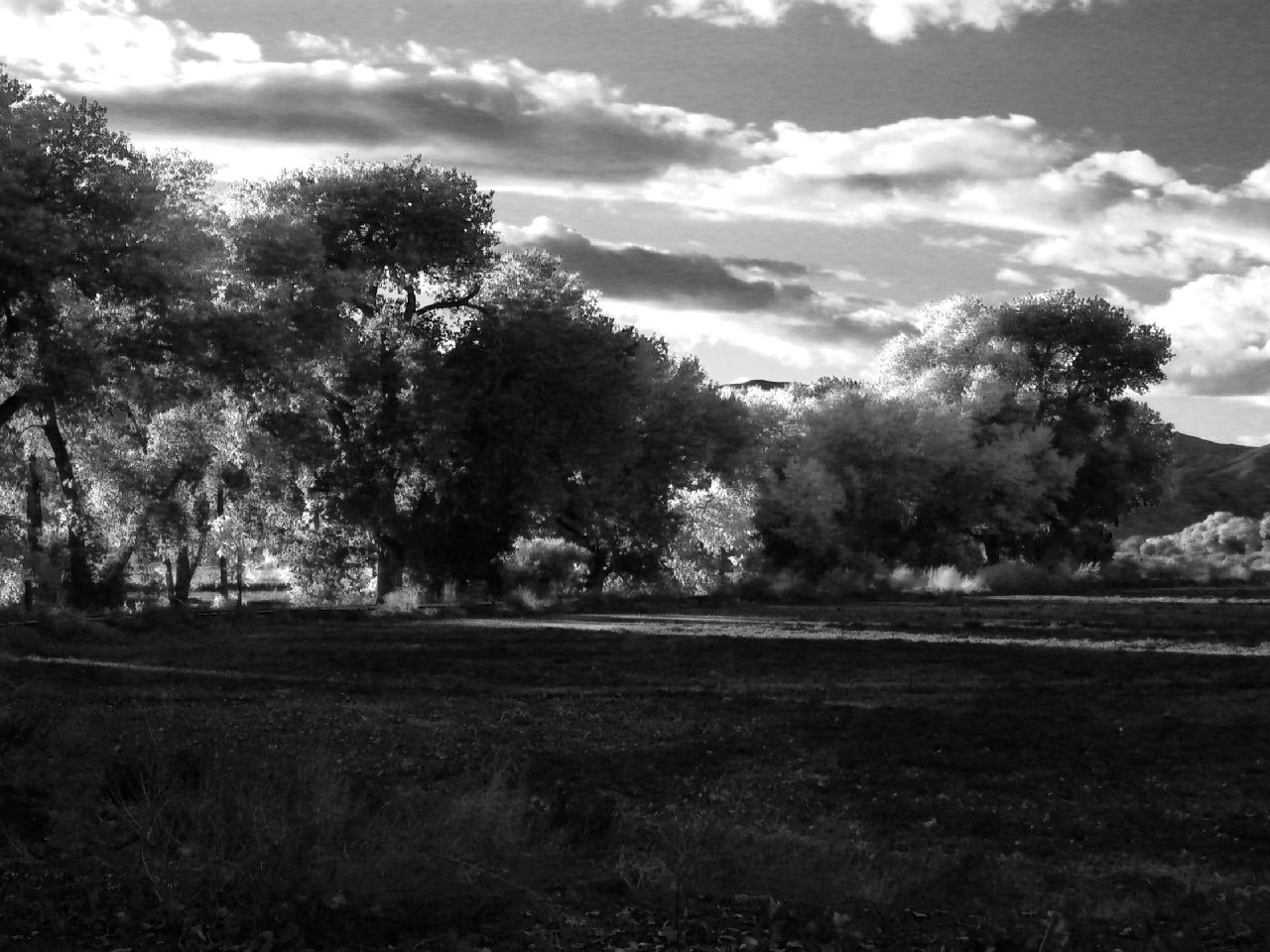
Yerington, Nv. 2017
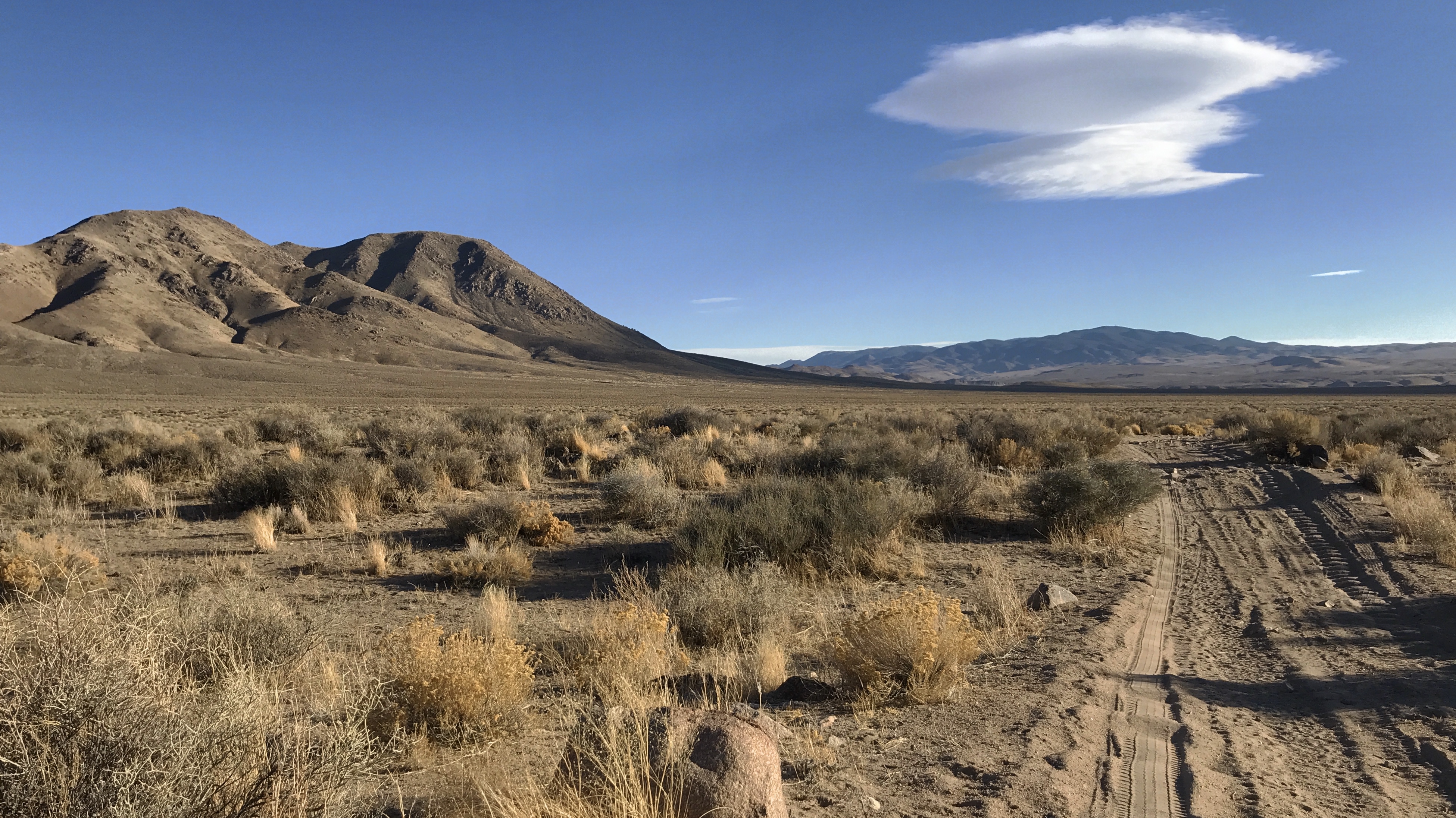
Geocashe Smith Valley
Smith Valley Breadbasket of Nevada

Yerington Nevada January 28th 2011
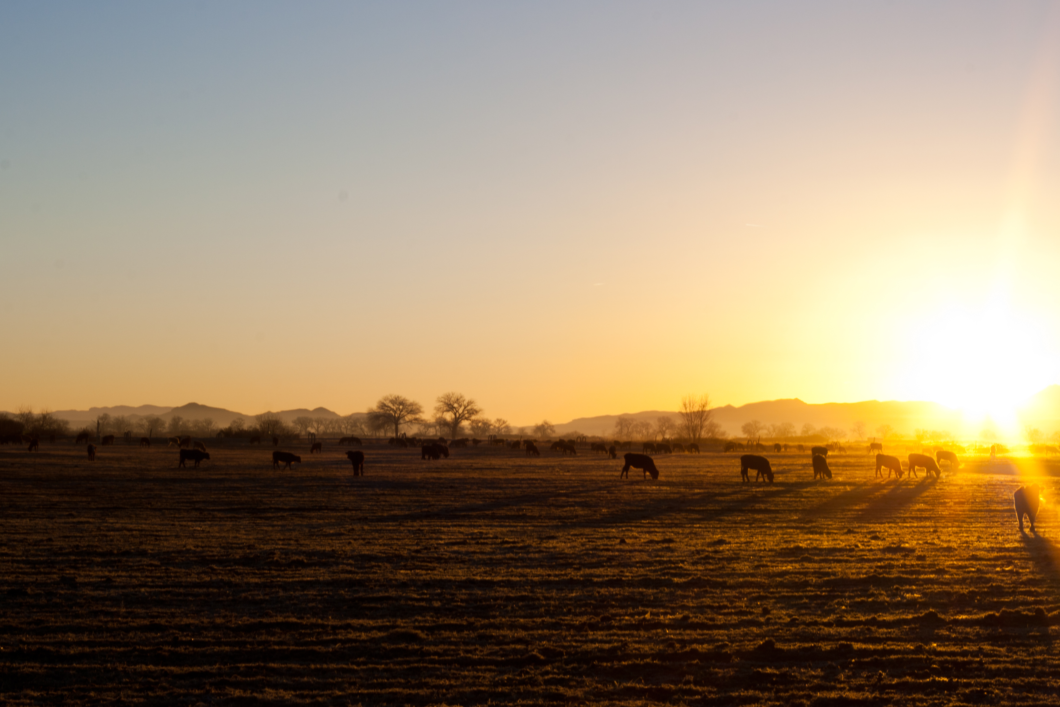
Yerington Nevada January 28th 2011
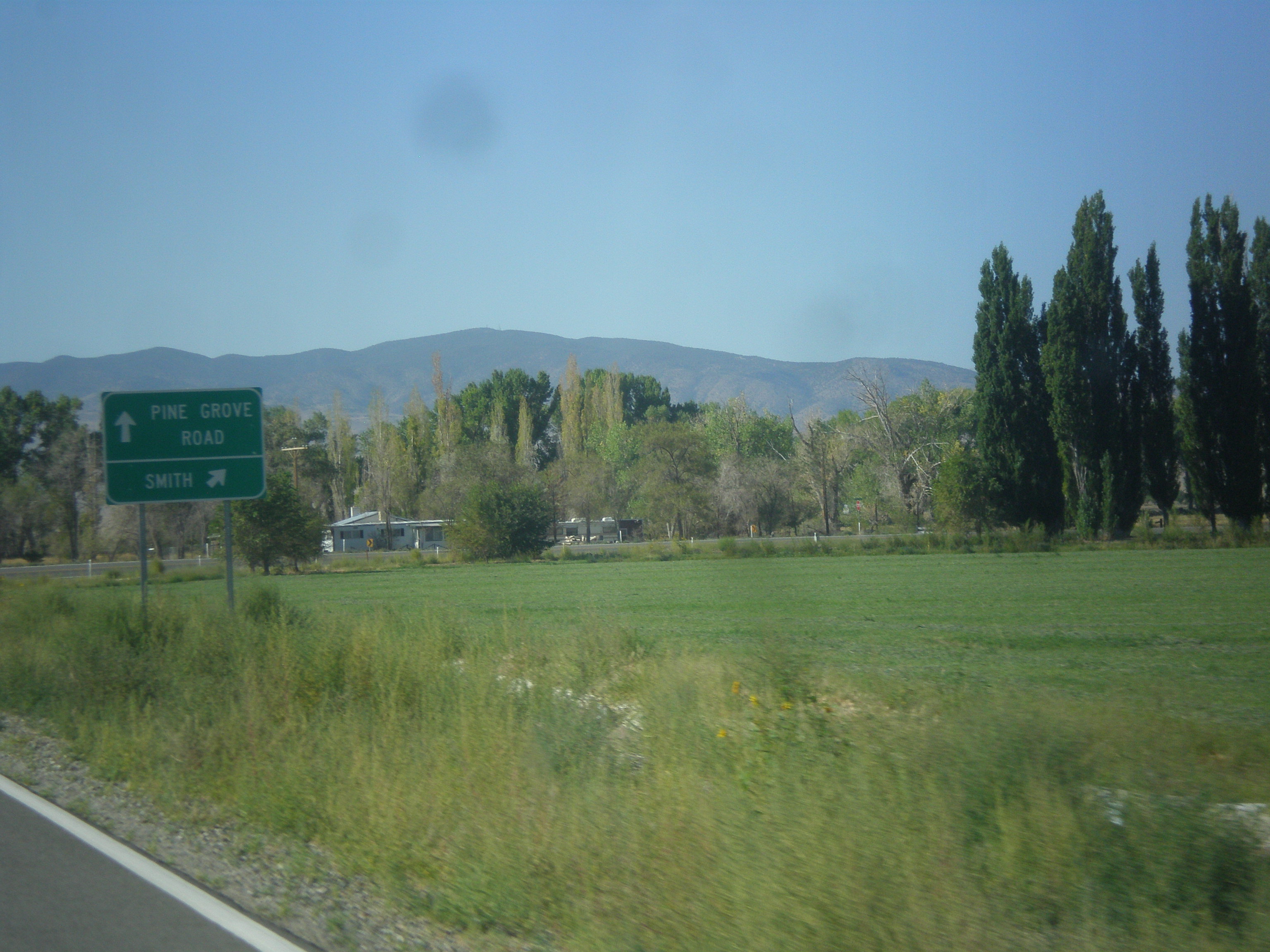
NV-208 West - Pine Grove Road Jct.
Topographic Map of NV-, Yerington, NV, USA
Find elevation by address:

Places near NV-, Yerington, NV, USA:
3 Bluestone Ave
39 Fairway Dr
41 NV-, Yerington, NV, USA
Yerington
Lyon County
17 Piping Rock Ln, Yerington, NV, USA
6 Yermo Ln
Mason Valley
E Walker Rd, Yerington, NV, USA
231 Jessen Rd
205 Jessen Rd
Burke Dr, Wellington, NV, USA
Artesia Rd, Wellington, NV, USA
49 Jessen Rd
94 Julian Ln, Yerington, NV, USA
Artesia Rd, Wellington, NV, USA
222 Artist View Rd
Smith Valley
483 Hudson Aurora Rd
201 Artesia Rd
Recent Searches:
- Elevation of 6 Rue Jules Ferry, Beausoleil, France
- Elevation of Sattva Horizon, 4JC6+G9P, Vinayak Nagar, Kattigenahalli, Bengaluru, Karnataka, India
- Elevation of Great Brook Sports, Gold Star Hwy, Groton, CT, USA
- Elevation of 10 Mountain Laurels Dr, Nashua, NH, USA
- Elevation of 16 Gilboa Ln, Nashua, NH, USA
- Elevation of Laurel Rd, Townsend, TN, USA
- Elevation of 3 Nestling Wood Dr, Long Valley, NJ, USA
- Elevation of Ilungu, Tanzania
- Elevation of Yellow Springs Road, Yellow Springs Rd, Chester Springs, PA, USA
- Elevation of Rēzekne Municipality, Latvia