Elevation of Mount Erris, Ranchland No. 66, AB T0K, Canada
Location: Canada > Alberta > Division No. 15 > Crowsnest Pass > Coleman >
Longitude: -114.685
Latitude: 49.89
Elevation: 2763m / 9065feet
Barometric Pressure: 72KPa
Elevation Map:
Satellite Map:
Related Photos:
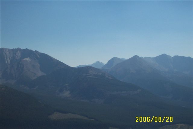
Sept.25- 28- 2006 BC Quad Trip 082.jpg
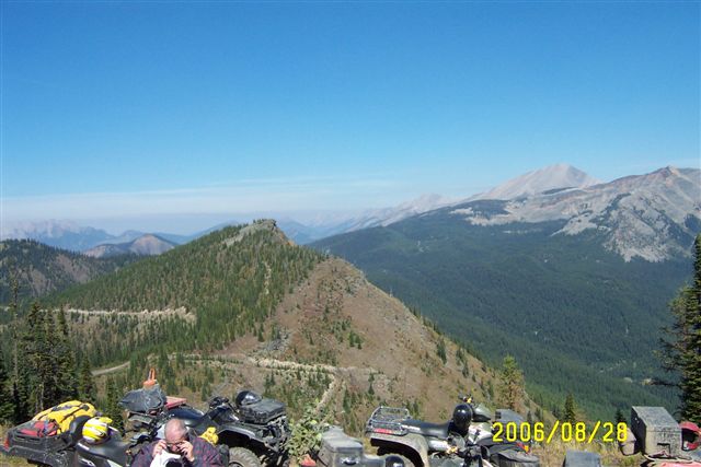
Sept.25- 28- 2006 BC Quad Trip 081.jpg
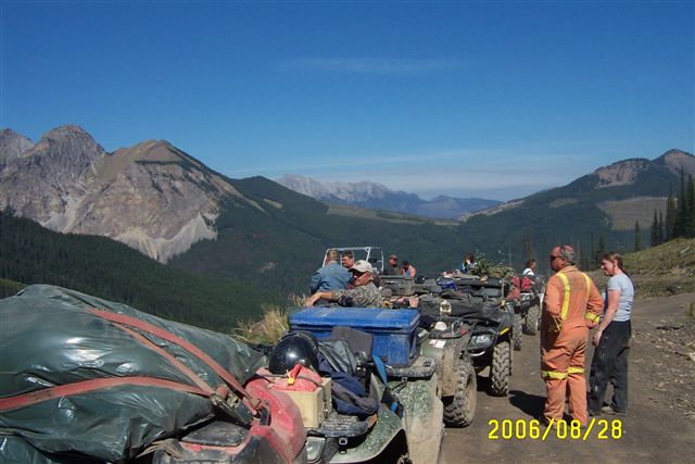
Sept.25- 28- 2006 BC Quad Trip 080.jpg
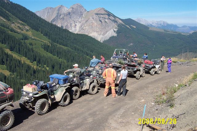
Sept.25- 28- 2006 BC Quad Trip 079.jpg
Topographic Map of Mount Erris, Ranchland No. 66, AB T0K, Canada
Find elevation by address:

Places near Mount Erris, Ranchland No. 66, AB T0K, Canada:
Erris Se2
Erris S3
Gould Dome
Mount Domke
Horseshoe Ridge
Funnel N3
Tornado Mountain
Funnel N4
High Rock Range
Seven Sisters Mountain
Crowsnest Mountain
Ma Butte
Mount Tecumseh
Gass Sw3
Mount Gass
Elkford
British Columbia 3
Sparwood
Crowsnest Ridge
67 Cassiar Dr
Recent Searches:
- Elevation of Tenjo, Cundinamarca, Colombia
- Elevation of Côte-des-Neiges, Montreal, QC H4A 3J6, Canada
- Elevation of Bobcat Dr, Helena, MT, USA
- Elevation of Zu den Ihlowbergen, Althüttendorf, Germany
- Elevation of Badaber, Peshawar, Khyber Pakhtunkhwa, Pakistan
- Elevation of SE Heron Loop, Lincoln City, OR, USA
- Elevation of Slanický ostrov, 01 Námestovo, Slovakia
- Elevation of Spaceport America, Co Rd A, Truth or Consequences, NM, USA
- Elevation of Warwick, RI, USA
- Elevation of Fern Rd, Whitmore, CA, USA