Elevation of Tornado Mountain, Ranchland No. 66, AB T0K, Canada
Location: Canada > Alberta > Division No. 15 > Crowsnest Pass > Coleman >
Longitude: -114.655
Latitude: 49.9666666
Elevation: 2956m / 9698feet
Barometric Pressure: 70KPa
Elevation Map:
Satellite Map:
Related Photos:
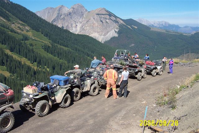
Sept.25- 28- 2006 BC Quad Trip 079.jpg
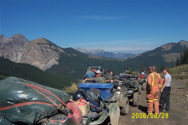
Sept.25- 28- 2006 BC Quad Trip 080.jpg
Topographic Map of Tornado Mountain, Ranchland No. 66, AB T0K, Canada
Find elevation by address:

Places near Tornado Mountain, Ranchland No. 66, AB T0K, Canada:
Funnel N4
Funnel N3
Gould Dome
High Rock Range
Mount Erris
Horseshoe Ridge
Erris Se2
Erris S3
Mount Domke
Mount Gass
Gass Sw3
Gass N3
Fording River Road
O'rourke W3
Elkford
Peak 09-48
Seven Sisters Mountain
Mount Pierce
Mount Farquhar
67 Cassiar Dr
Recent Searches:
- Elevation of Felindre, Swansea SA5 7LU, UK
- Elevation of Leyte Industrial Development Estate, Isabel, Leyte, Philippines
- Elevation of W Granada St, Tampa, FL, USA
- Elevation of Pykes Down, Ivybridge PL21 0BY, UK
- Elevation of Jalan Senandin, Lutong, Miri, Sarawak, Malaysia
- Elevation of Bilohirs'k
- Elevation of 30 Oak Lawn Dr, Barkhamsted, CT, USA
- Elevation of Luther Road, Luther Rd, Auburn, CA, USA
- Elevation of Unnamed Road, Respublika Severnaya Osetiya — Alaniya, Russia
- Elevation of Verkhny Fiagdon, North Ossetia–Alania Republic, Russia