Elevation of Seven Sisters Mountain, Ranchland No. 66, AB T0K, Canada
Location: Canada > Alberta > Division No. 15 > Crowsnest Pass > Coleman >
Longitude: -114.58
Latitude: 49.73
Elevation: 2382m / 7815feet
Barometric Pressure: 76KPa
Elevation Map:
Satellite Map:
Related Photos:
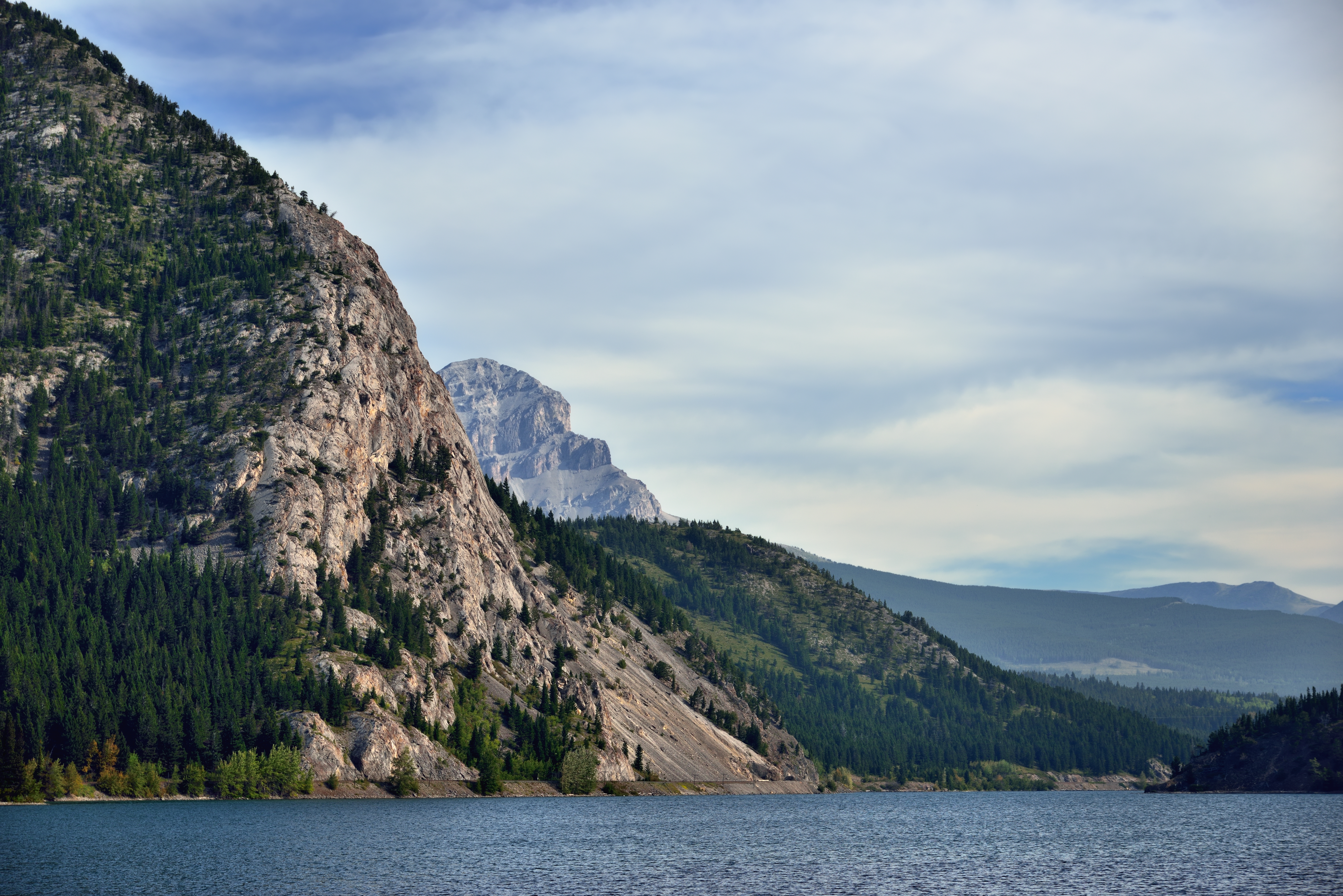
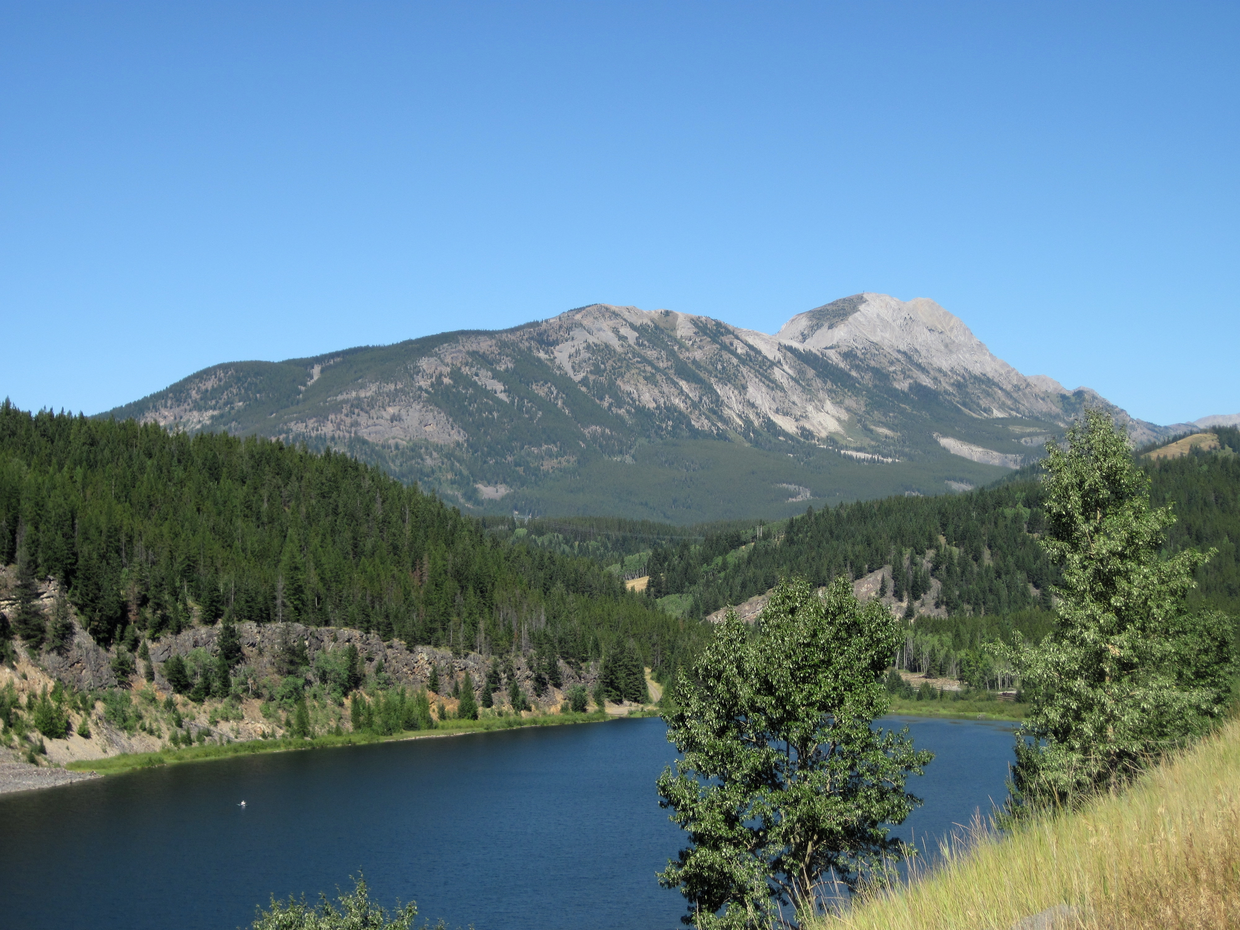
Crowsnest Lake and Ridge
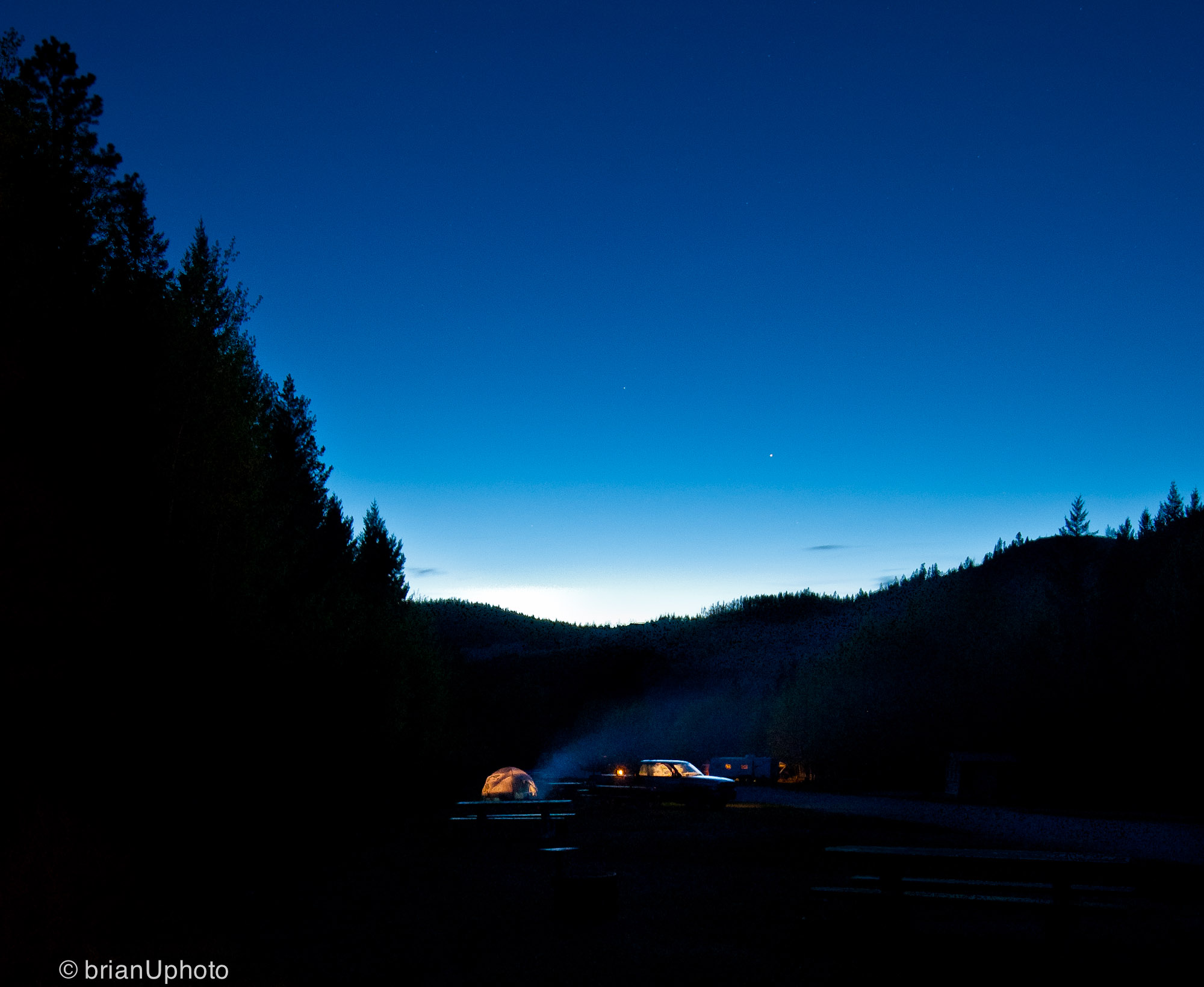
Home is wherever I’m with you
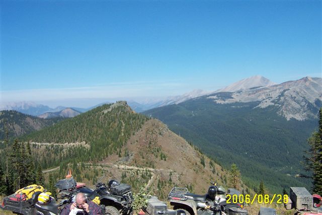
Sept.25- 28- 2006 BC Quad Trip 082.jpg
Sept.25- 28- 2006 BC Quad Trip 081.jpg
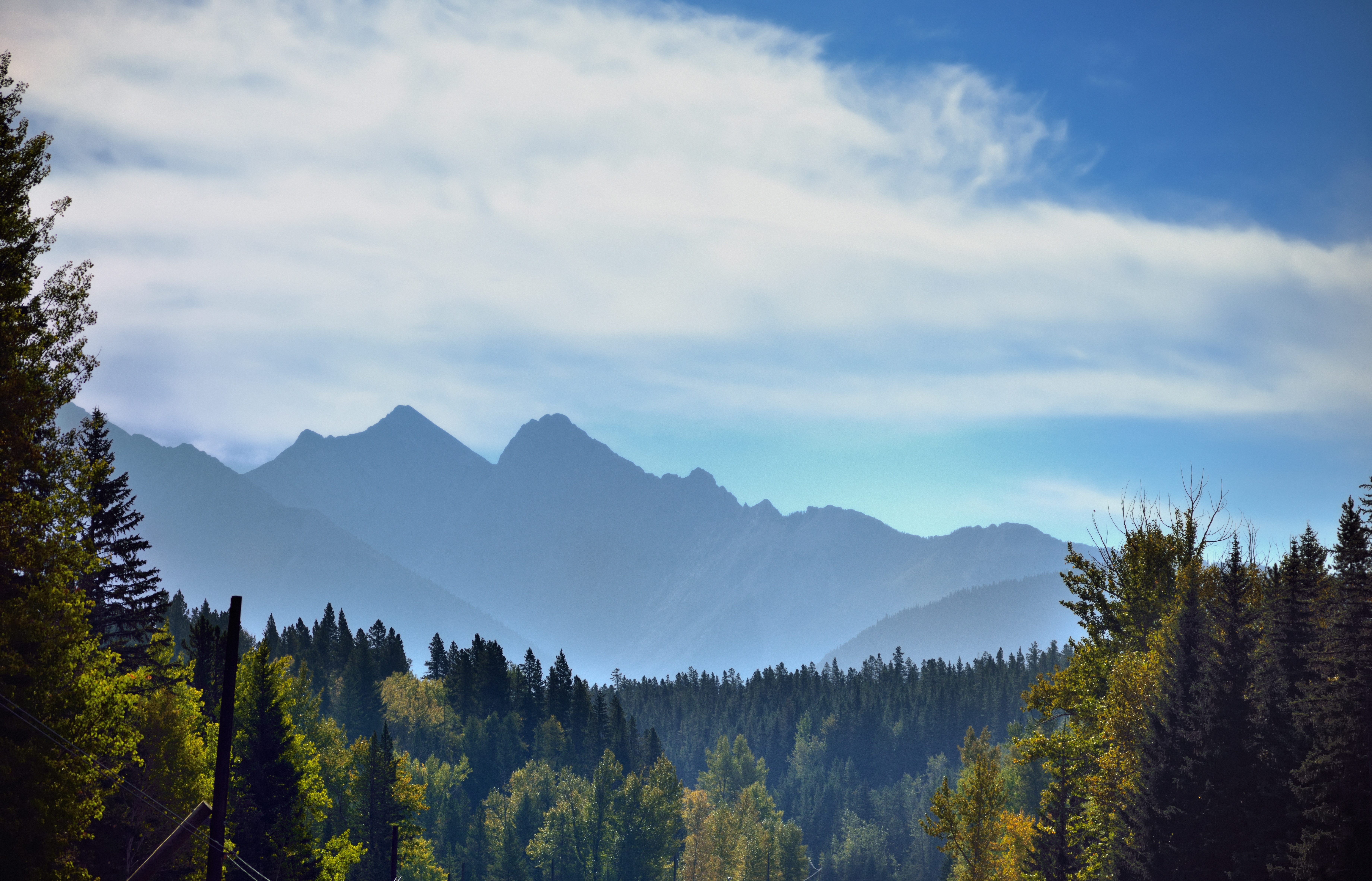
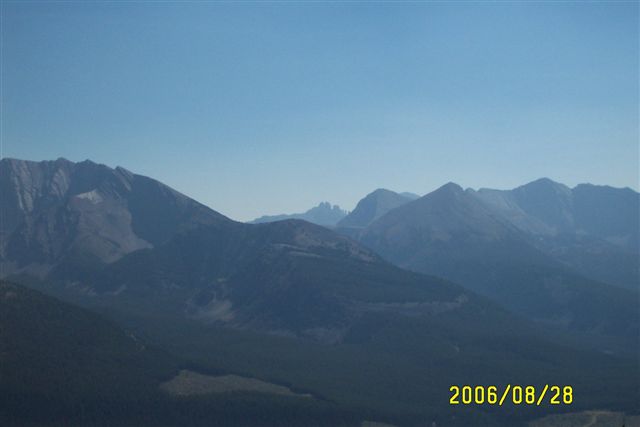
Hillsides of Trees and Mountains Beyond
SDIM5106 Mount Harrison in distance

Summit Lake and a View to Mount Washburn
SDIM4994 a view of the window in Window Mountain

SDIM5127 Mount Ptolemy, AB
DSC02182.JPG
DSC02187.JPG
DSC02190.JPG

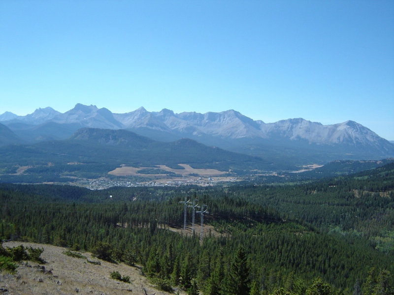
view of coleman
DSC02180.JPG
DSC02186.JPG
DSC02174.JPG

DSC02188.JPG
DSC02171.JPG
DSC02170.JPG
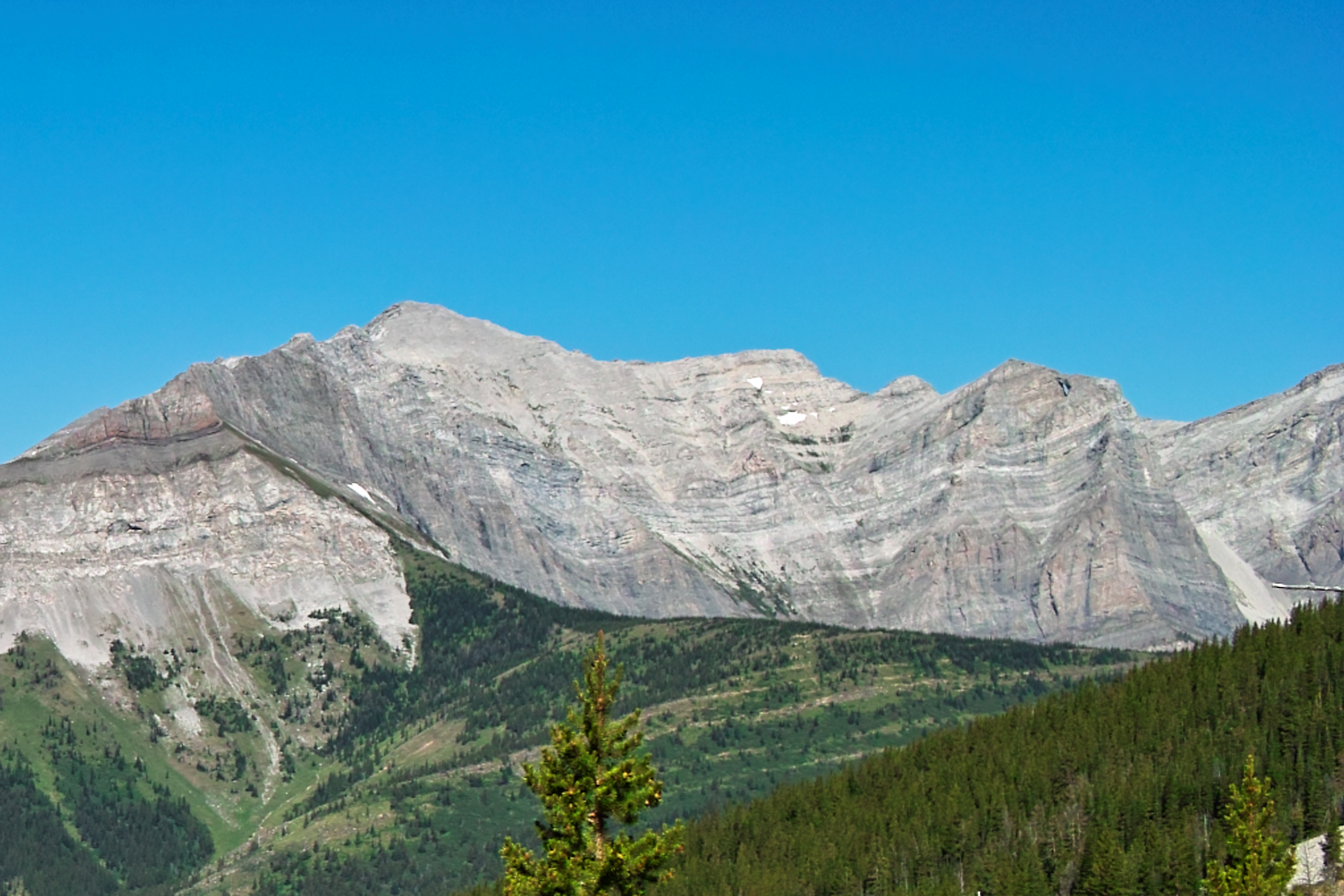
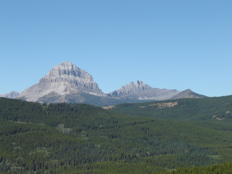
Mount Erickson

DSC02189.JPG
Topographic Map of Seven Sisters Mountain, Ranchland No. 66, AB T0K, Canada
Find elevation by address:

Places near Seven Sisters Mountain, Ranchland No. 66, AB T0K, Canada:
Crowsnest Mountain
Ma Butte
Allison Creek Road
Mount Tecumseh
21 Ave, Coleman, AB T0K 0M0, Canada
5910 22 Ave
Crowsnest Ridge
Coleman
Mount Sentry
Mount Domke
Chinook Peak
Mount Mclaren
Crowsnest Pass
Mount Parrish
Island Ridge
Erris S3
Andy Good Peak
Erris Se2
Mount Coulthard
Blairmore
Recent Searches:
- Elevation of Corso Fratelli Cairoli, 35, Macerata MC, Italy
- Elevation of Tallevast Rd, Sarasota, FL, USA
- Elevation of 4th St E, Sonoma, CA, USA
- Elevation of Black Hollow Rd, Pennsdale, PA, USA
- Elevation of Oakland Ave, Williamsport, PA, USA
- Elevation of Pedrógão Grande, Portugal
- Elevation of Klee Dr, Martinsburg, WV, USA
- Elevation of Via Roma, Pieranica CR, Italy
- Elevation of Tavkvetili Mountain, Georgia
- Elevation of Hartfords Bluff Cir, Mt Pleasant, SC, USA