Elevation of Erris SE2, East Kootenay A, BC V0B, Canada
Location: Canada > British Columbia > East Kootenay > East Kootenay A >
Longitude: -114.6733333
Latitude: 49.8736111
Elevation: 2617m / 8586feet
Barometric Pressure: 0KPa
Related Photos:
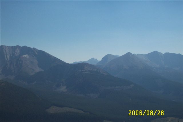
Sept.25- 28- 2006 BC Quad Trip 082.jpg
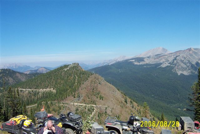
Sept.25- 28- 2006 BC Quad Trip 081.jpg
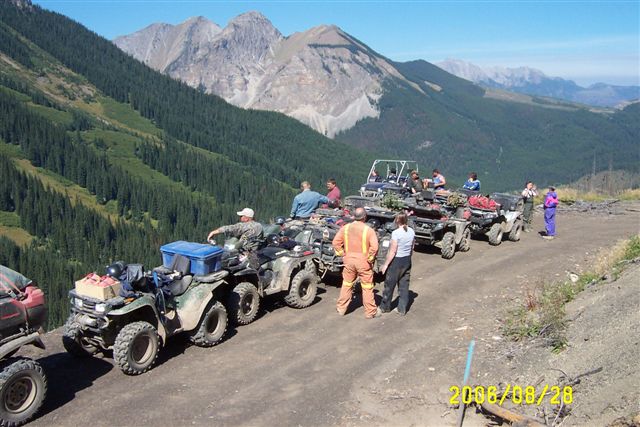
Sept.25- 28- 2006 BC Quad Trip 079.jpg
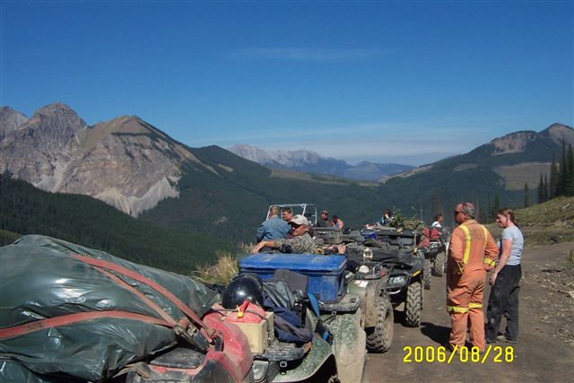
Sept.25- 28- 2006 BC Quad Trip 080.jpg
Topographic Map of Erris SE2, East Kootenay A, BC V0B, Canada
Find elevation by address:

Places near Erris SE2, East Kootenay A, BC V0B, Canada:
Erris S3
Mount Erris
Mount Domke
Gould Dome
Horseshoe Ridge
Funnel N3
Tornado Mountain
Funnel N4
High Rock Range
Seven Sisters Mountain
Crowsnest Mountain
Ma Butte
Mount Tecumseh
Crowsnest Ridge
British Columbia 3
21 Ave, Coleman, AB T0K 0M0, Canada
Allison Creek Road
Sparwood
Gass Sw3
Mount Gass
Recent Searches:
- Elevation of Sullivan Hill, New York, New York, 10002, USA
- Elevation of Morehead Road, Withrow Downs, Charlotte, Mecklenburg County, North Carolina, 28262, USA
- Elevation of 2800, Morehead Road, Withrow Downs, Charlotte, Mecklenburg County, North Carolina, 28262, USA
- Elevation of Yangbi Yi Autonomous County, Yunnan, China
- Elevation of Pingpo, Yangbi Yi Autonomous County, Yunnan, China
- Elevation of Mount Malong, Pingpo, Yangbi Yi Autonomous County, Yunnan, China
- Elevation map of Yongping County, Yunnan, China
- Elevation of North 8th Street, Palatka, Putnam County, Florida, 32177, USA
- Elevation of 107, Big Apple Road, East Palatka, Putnam County, Florida, 32131, USA
- Elevation of Jiezi, Chongzhou City, Sichuan, China
- Elevation of Chongzhou City, Sichuan, China
- Elevation of Huaiyuan, Chongzhou City, Sichuan, China
- Elevation of Qingxia, Chengdu, Sichuan, China
- Elevation of Corso Fratelli Cairoli, 35, Macerata MC, Italy
- Elevation of Tallevast Rd, Sarasota, FL, USA
- Elevation of 4th St E, Sonoma, CA, USA
- Elevation of Black Hollow Rd, Pennsdale, PA, USA
- Elevation of Oakland Ave, Williamsport, PA, USA
- Elevation of Pedrógão Grande, Portugal
- Elevation of Klee Dr, Martinsburg, WV, USA