Elevation of Mount Bradley, Mt Bradley, Montana, USA
Location: United States > Montana > Madison County > Sheridan >
Longitude: -111.97526
Latitude: 45.5202037
Elevation: 3144m / 10315feet
Barometric Pressure: 69KPa
Elevation Map:
Satellite Map:
Related Photos:
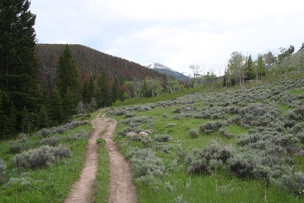
Dirt path
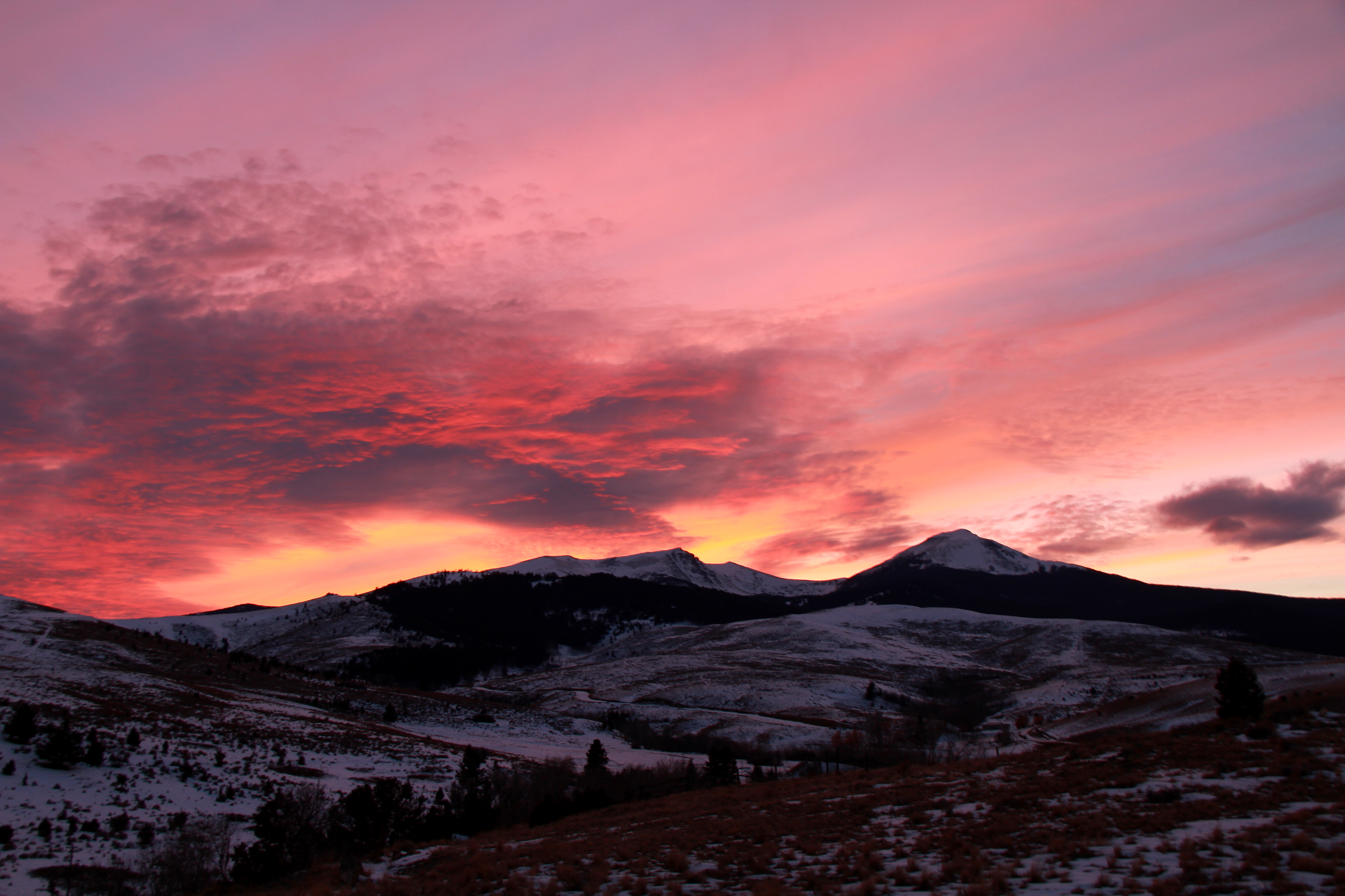
Tobacco Root mountains sunset
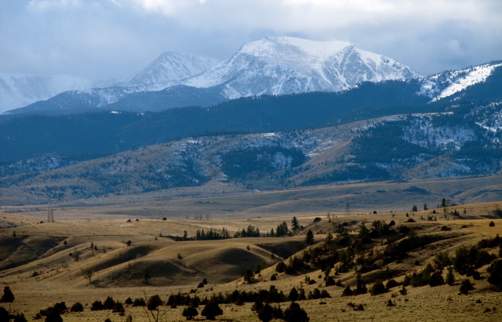
Madison Valley
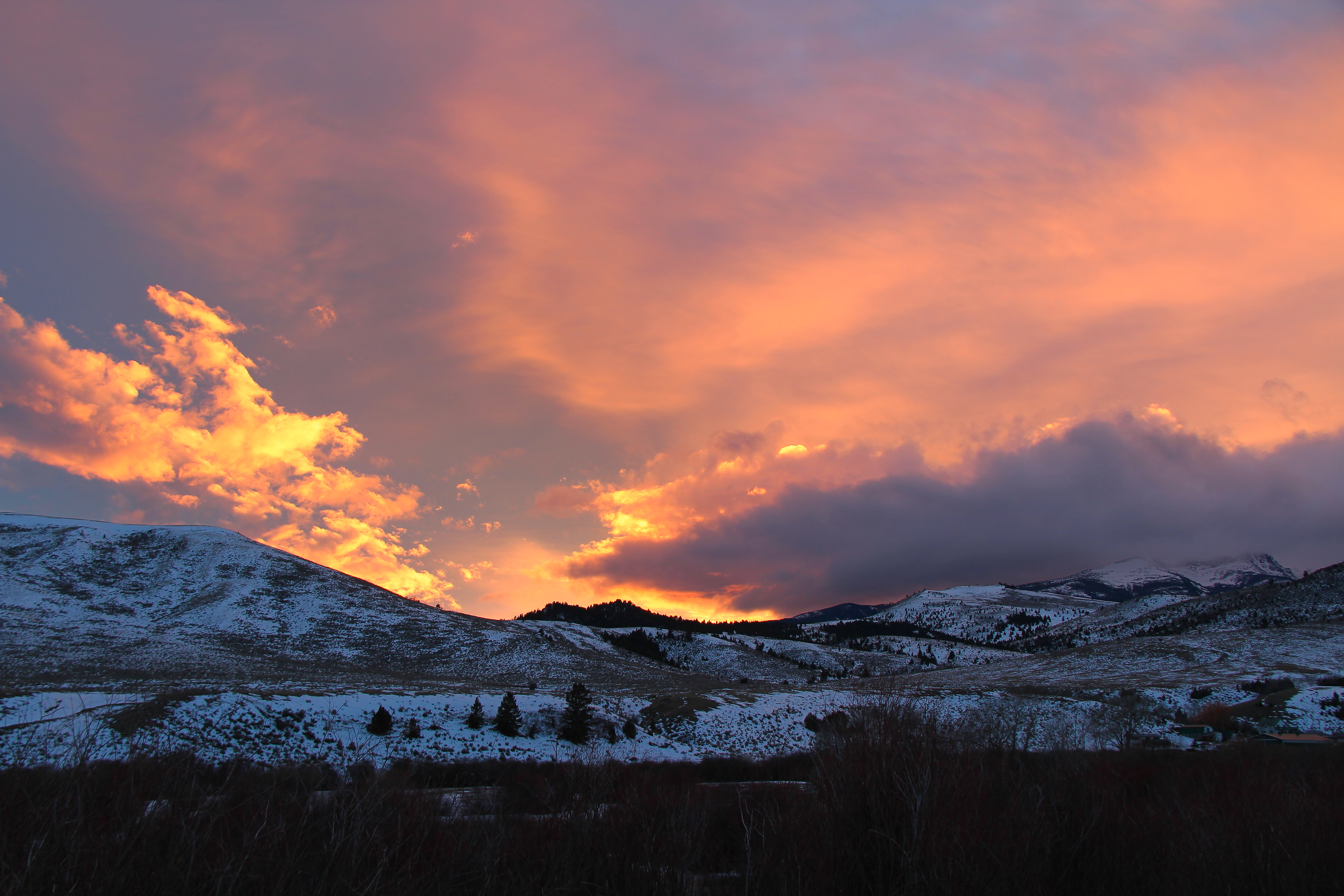
Late January sunset
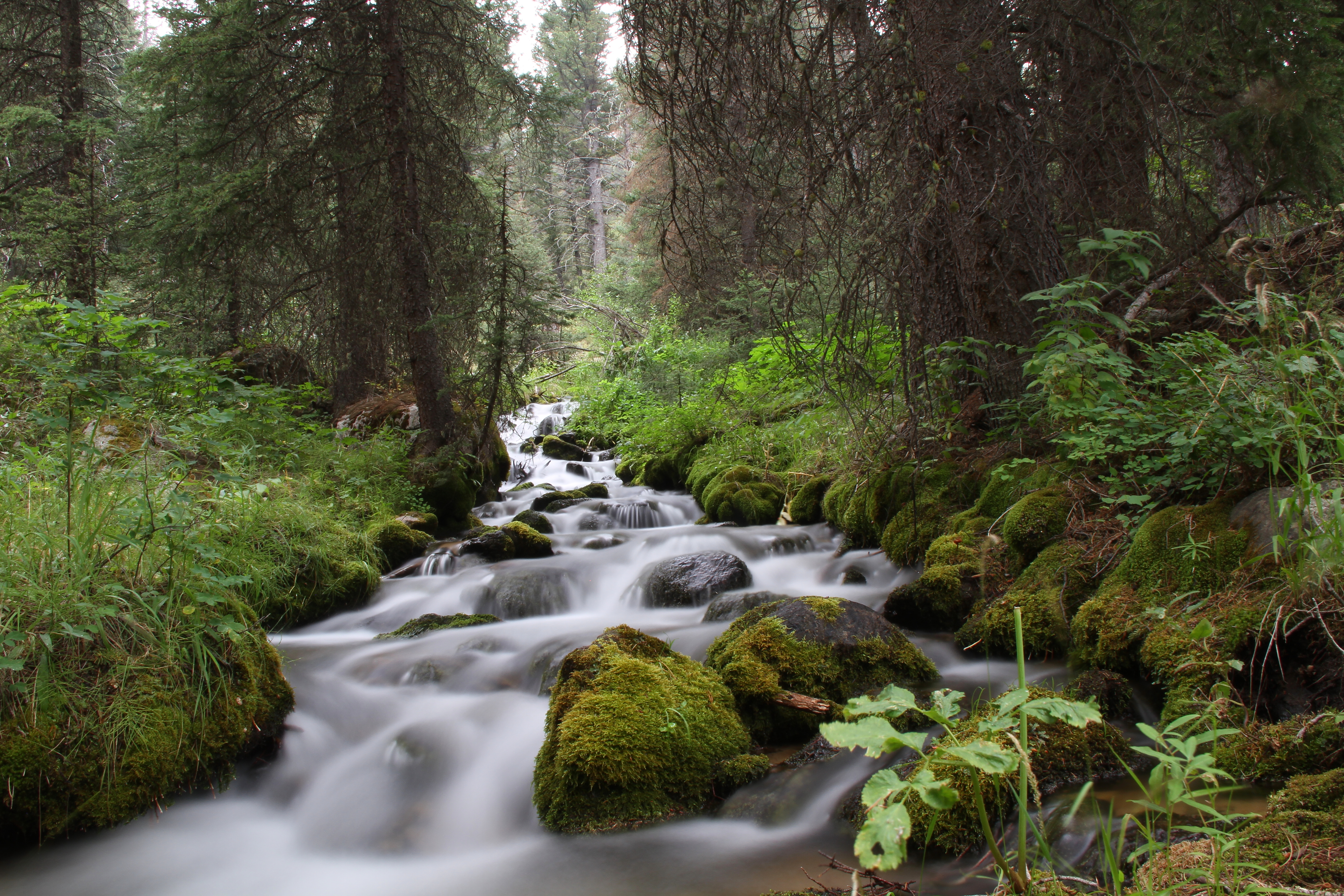
unnamed creek
Hollowtop Mountain. Montana

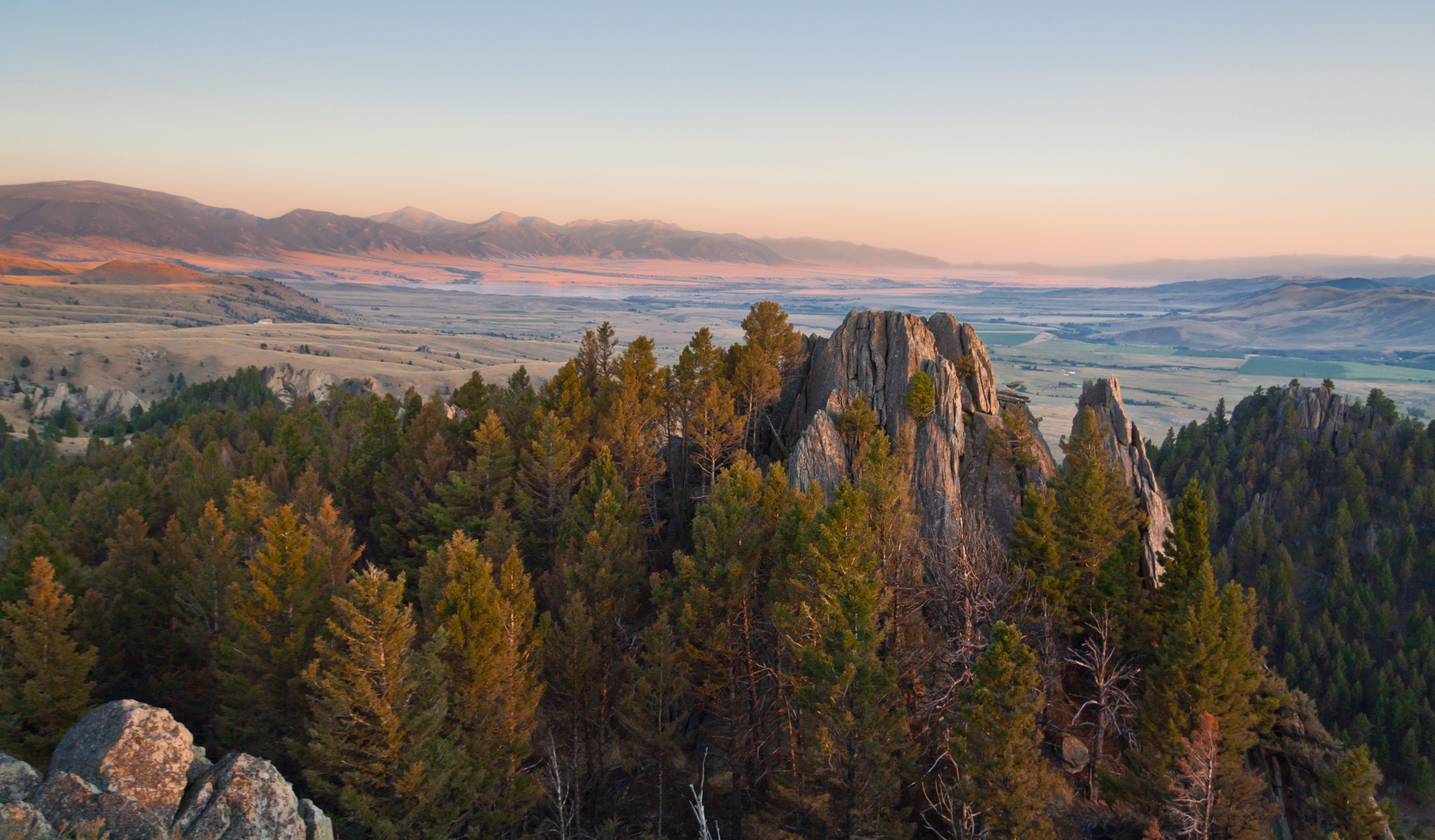
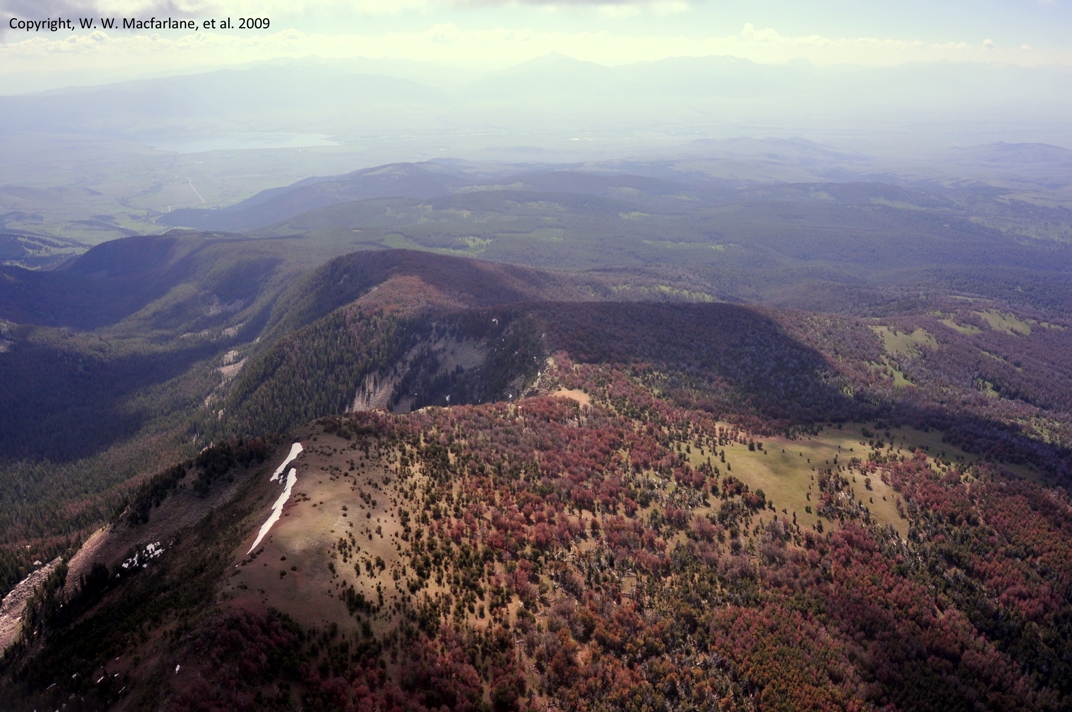
Revenue Flats

Western Pondhawk [ Erythemis collocata ] female
BEETLE 3
sailor lake
Topographic Map of Mount Bradley, Mt Bradley, Montana, USA
Find elevation by address:

Places near Mount Bradley, Mt Bradley, Montana, USA:
Middle Mountain
Potosi Road
Madison County
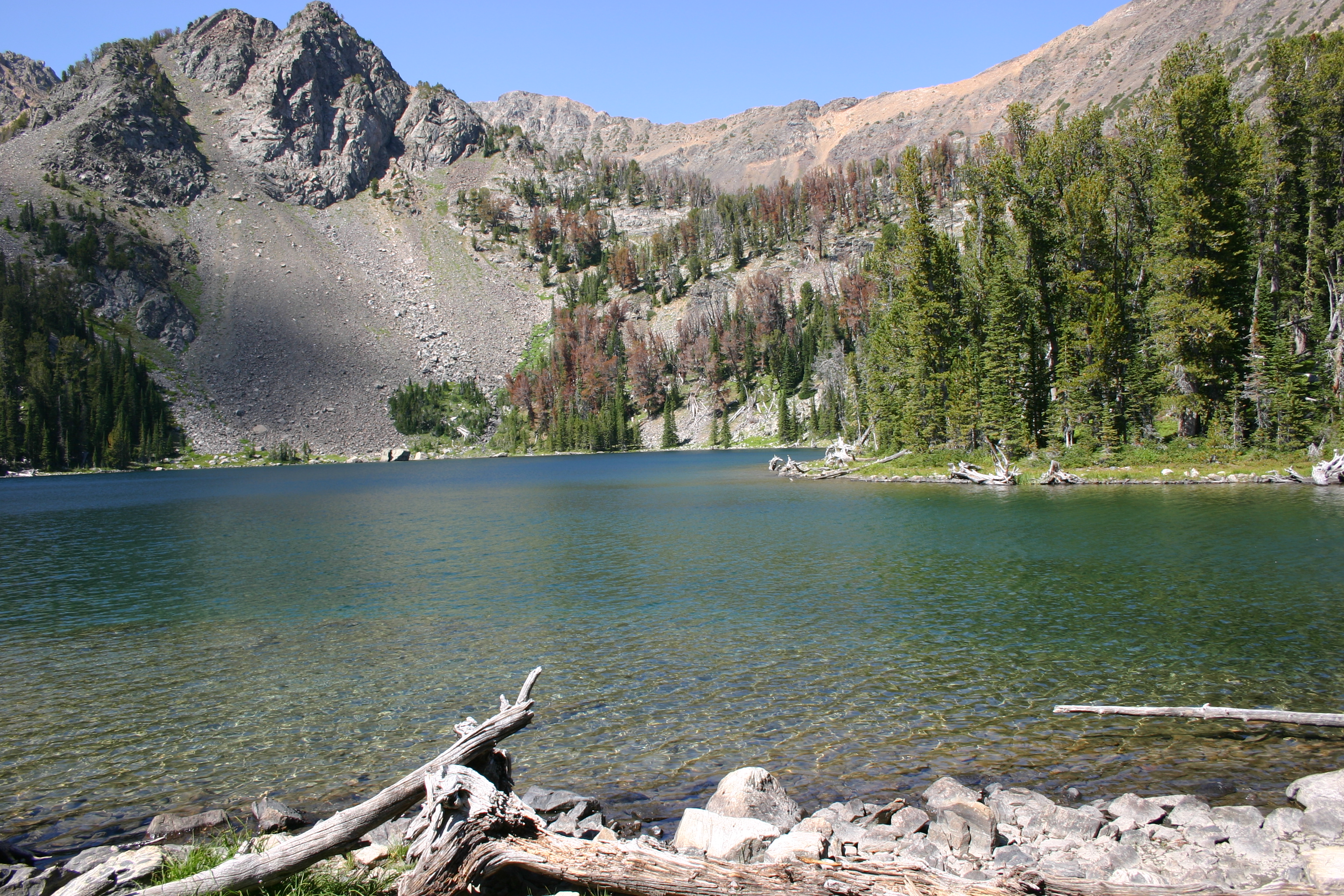
Sailor Lake
630 Mill Gulch Rd
Pony
10 Isdell St, Pony, MT, USA
972 S Boulder Rd
Mill Creek Rd, Sheridan, MT, USA
18 Meadow Lark Ln
Nevada City
101 Montana St
Virginia City
312 Sterling Rd
1500 Masters Blvd
Sheridan
3408 Mt-287
3408 Mt-287
Alder
Norwegian Creek Road
Recent Searches:
- Elevation of Corso Fratelli Cairoli, 35, Macerata MC, Italy
- Elevation of Tallevast Rd, Sarasota, FL, USA
- Elevation of 4th St E, Sonoma, CA, USA
- Elevation of Black Hollow Rd, Pennsdale, PA, USA
- Elevation of Oakland Ave, Williamsport, PA, USA
- Elevation of Pedrógão Grande, Portugal
- Elevation of Klee Dr, Martinsburg, WV, USA
- Elevation of Via Roma, Pieranica CR, Italy
- Elevation of Tavkvetili Mountain, Georgia
- Elevation of Hartfords Bluff Cir, Mt Pleasant, SC, USA