Elevation of S Boulder Rd, Cardwell, MT, USA
Location: United States > Montana > Cardwell >
Longitude: -112.01546
Latitude: 45.6829839
Elevation: 1784m / 5853feet
Barometric Pressure: 82KPa
Elevation Map:
Satellite Map:
Related Photos:
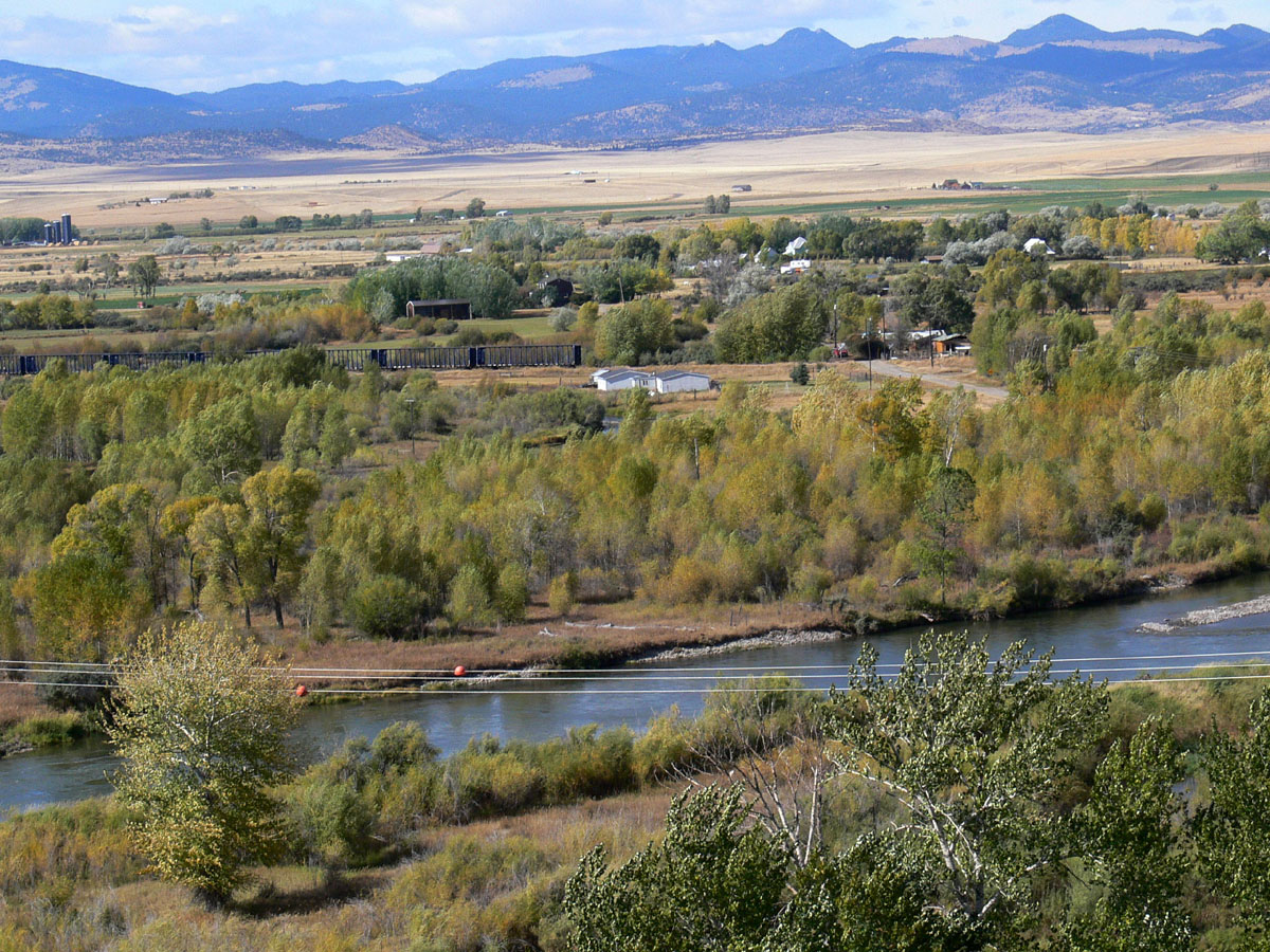
Renova, Montana
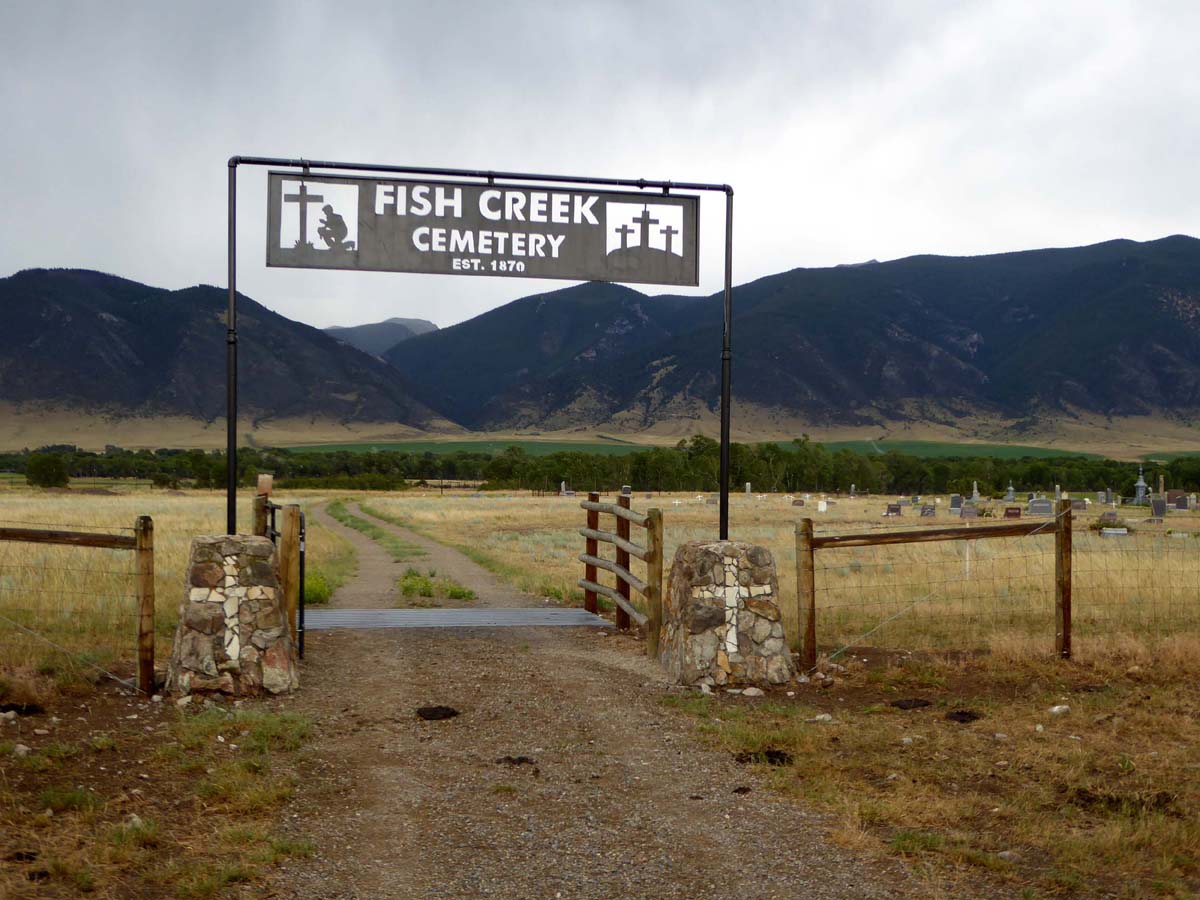
Fish Creek, Montana
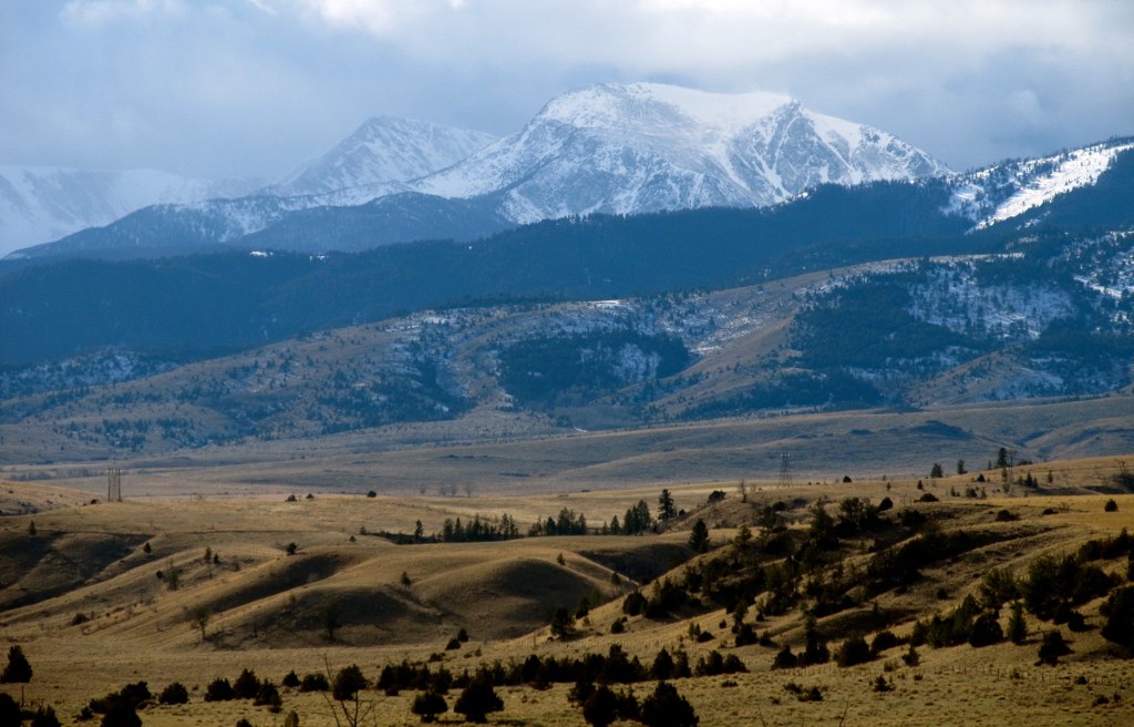
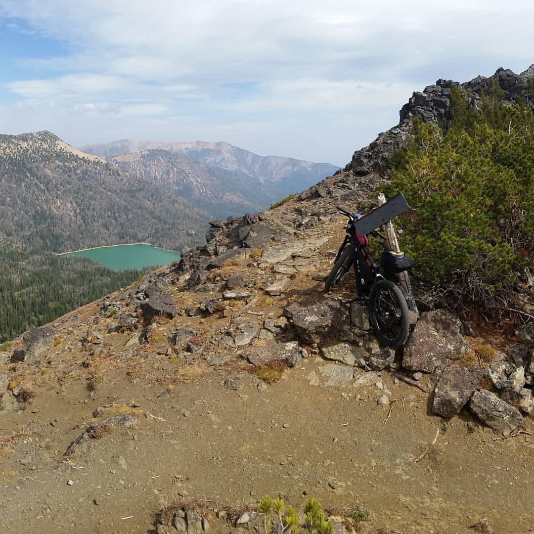
Hollowtop Mountain. Montana

Western Pondhawk [ Erythemis collocata ] female
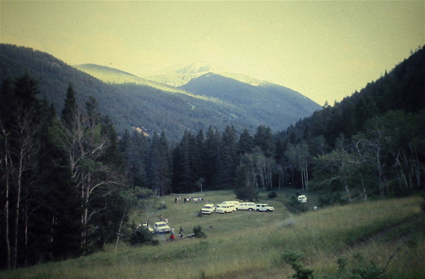
Geologic Field Camp Picnic
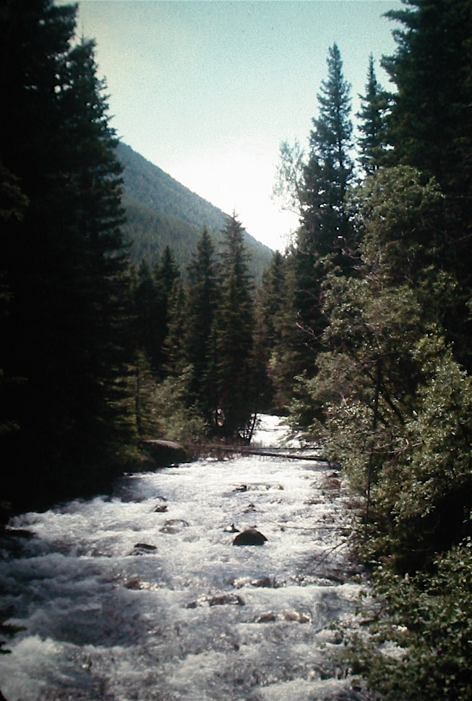
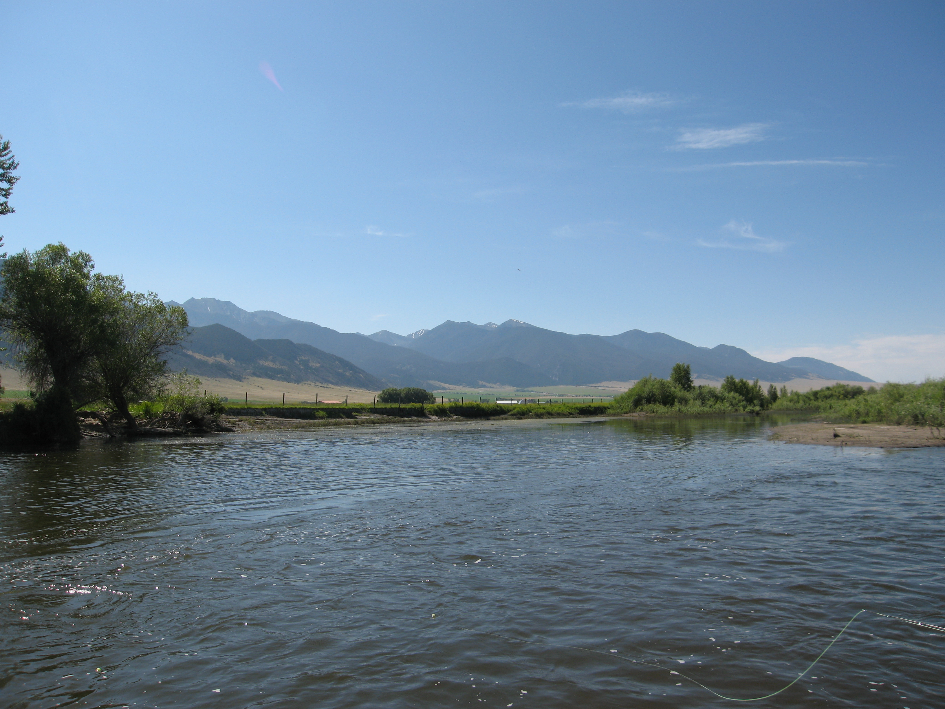
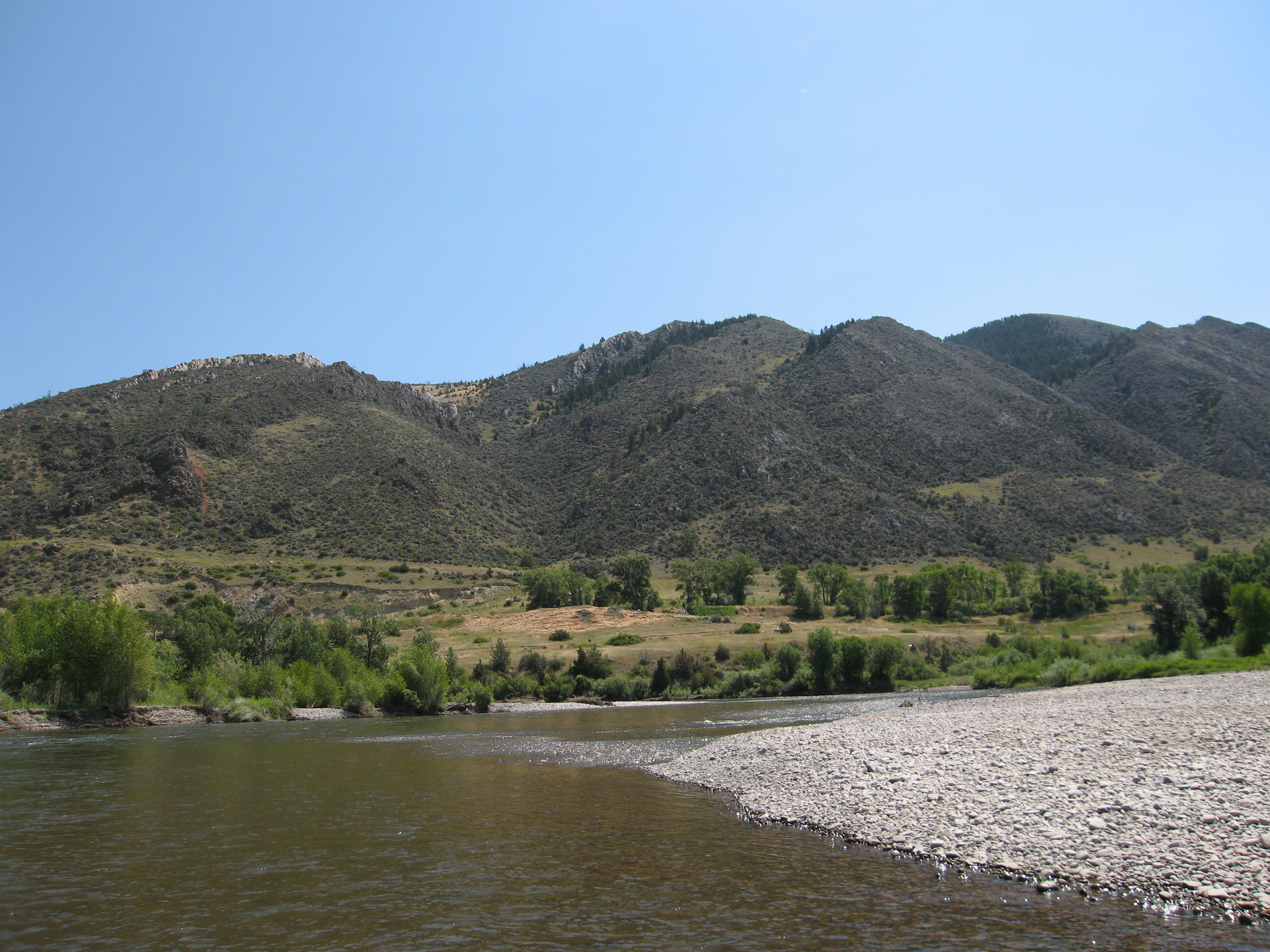
South Boulder River
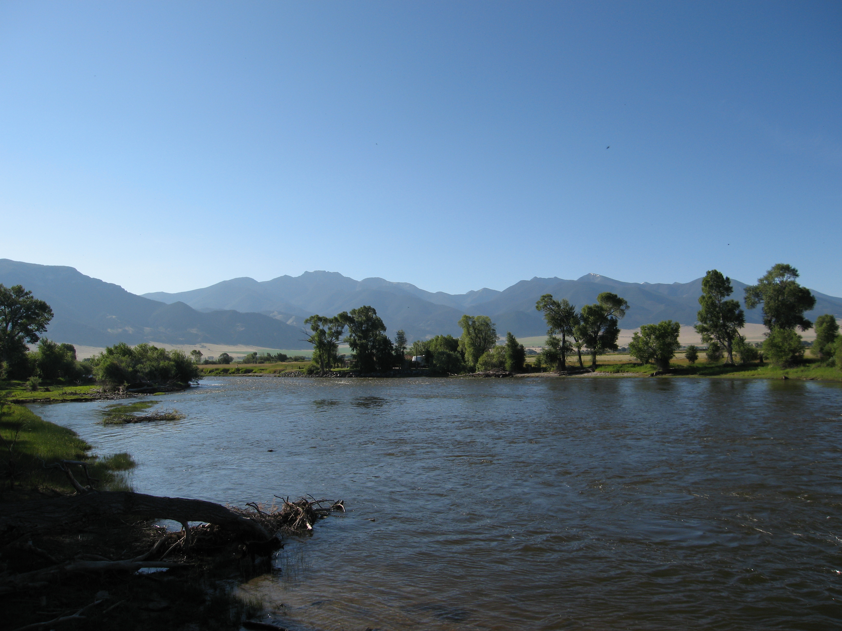
Tobacco Root Mountains
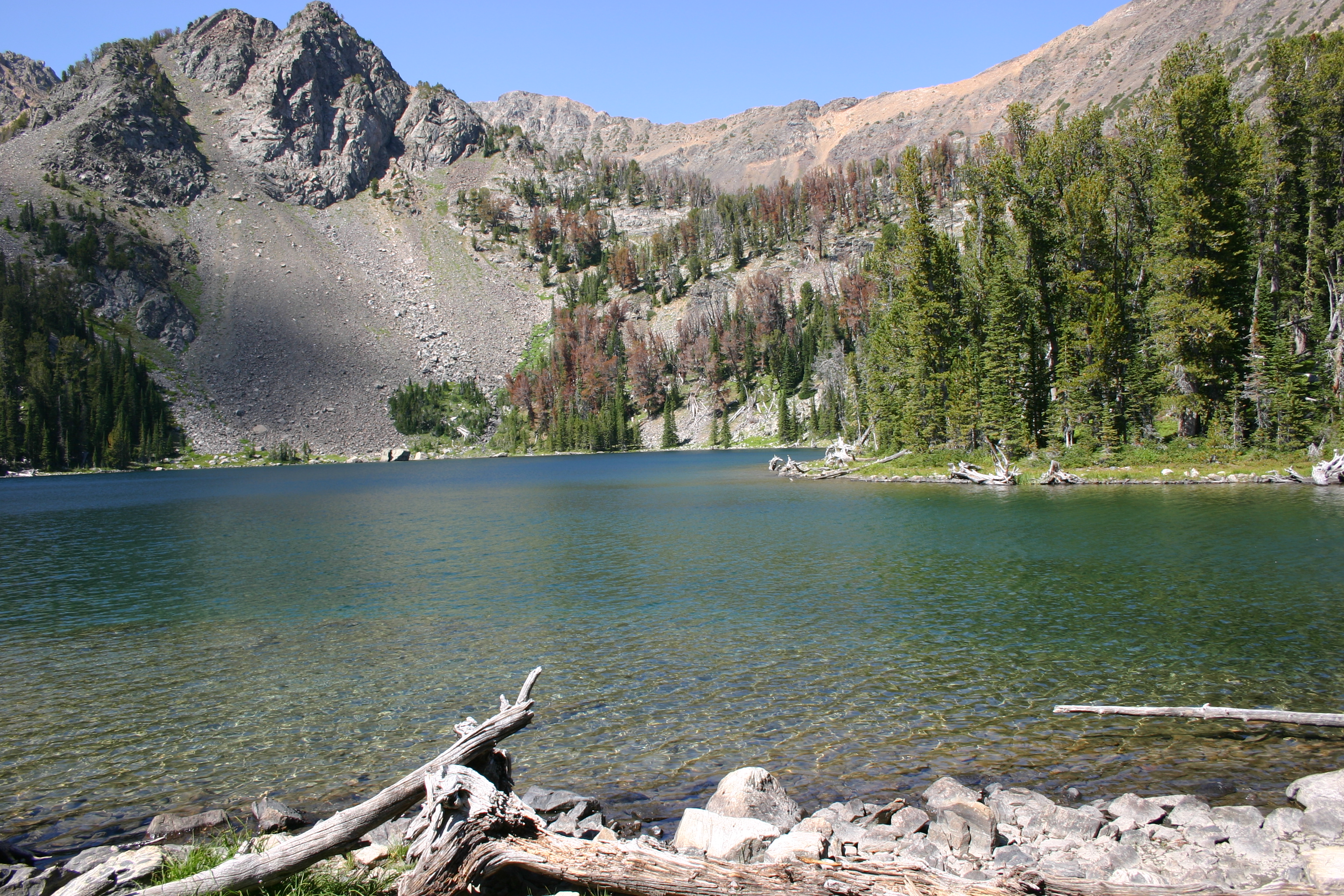
sailor lake

Abandoned Mill, Pony, Montana
Dirt path
Dad and Jake

Parsons Bridge (Waterloo) access
Parsons Bridge (Waterloo) access
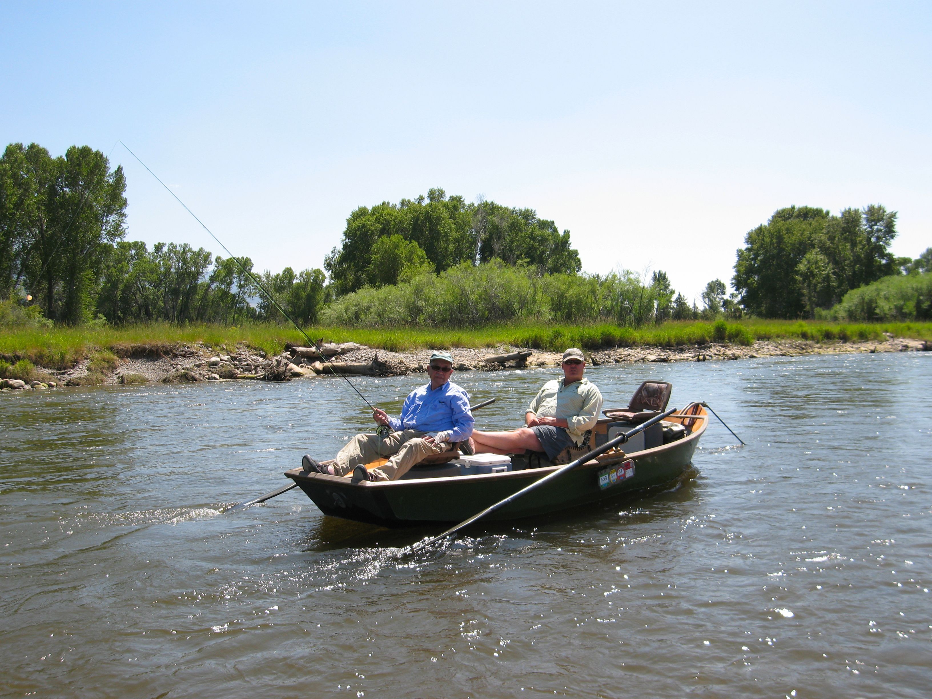
Dad and Jake
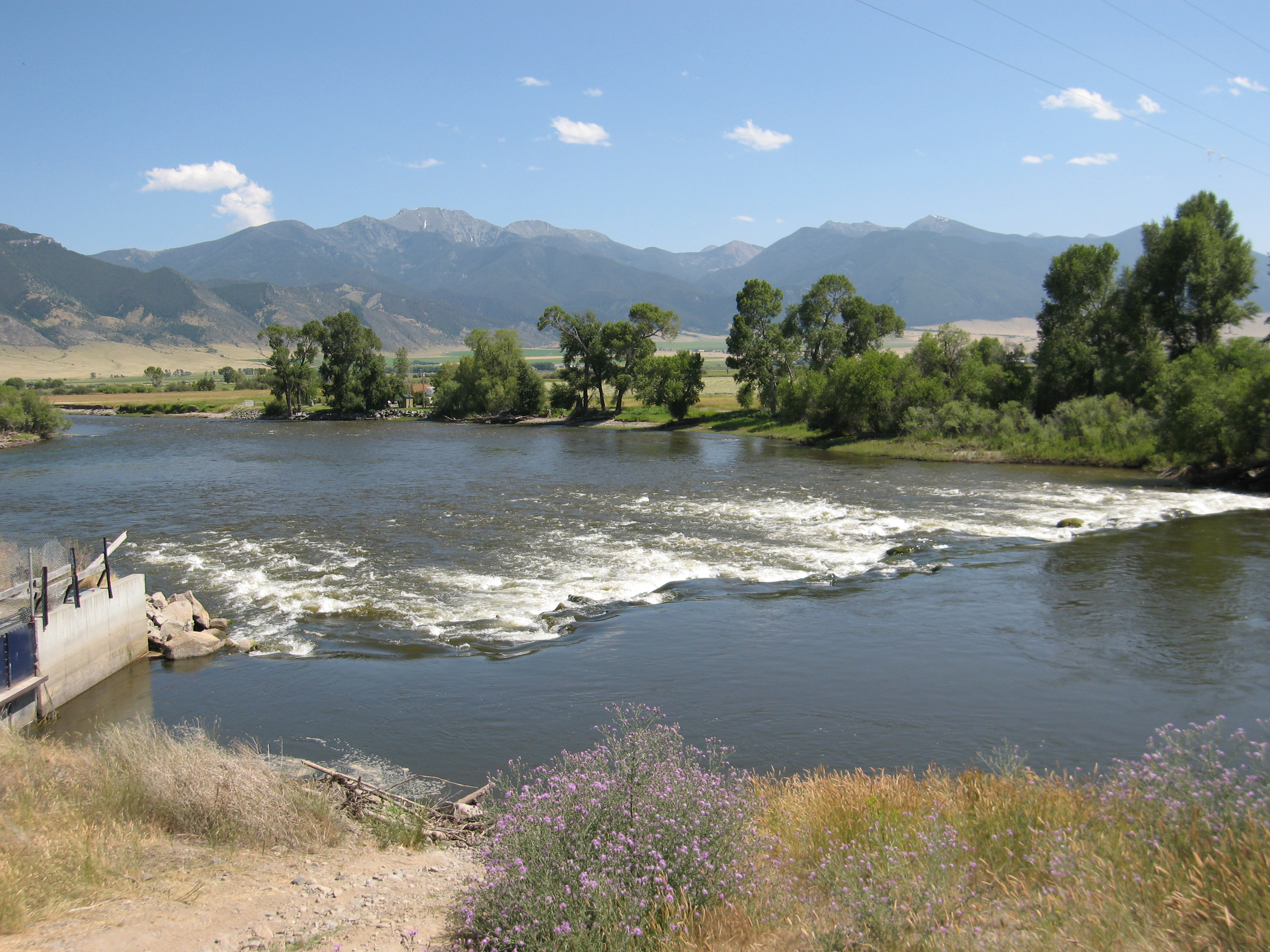
Waterloo diversion at Parson's Bridge
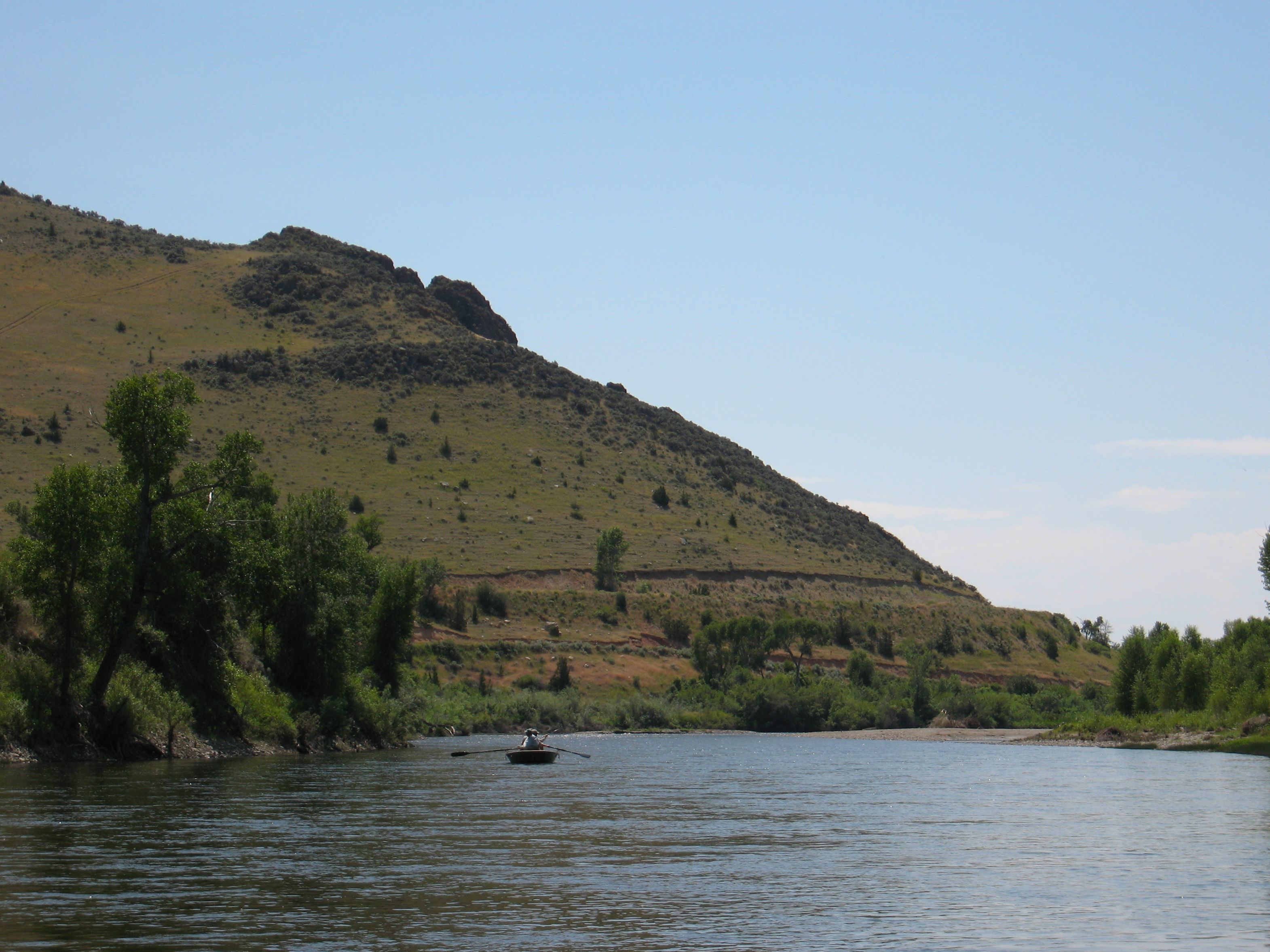
Jefferson River
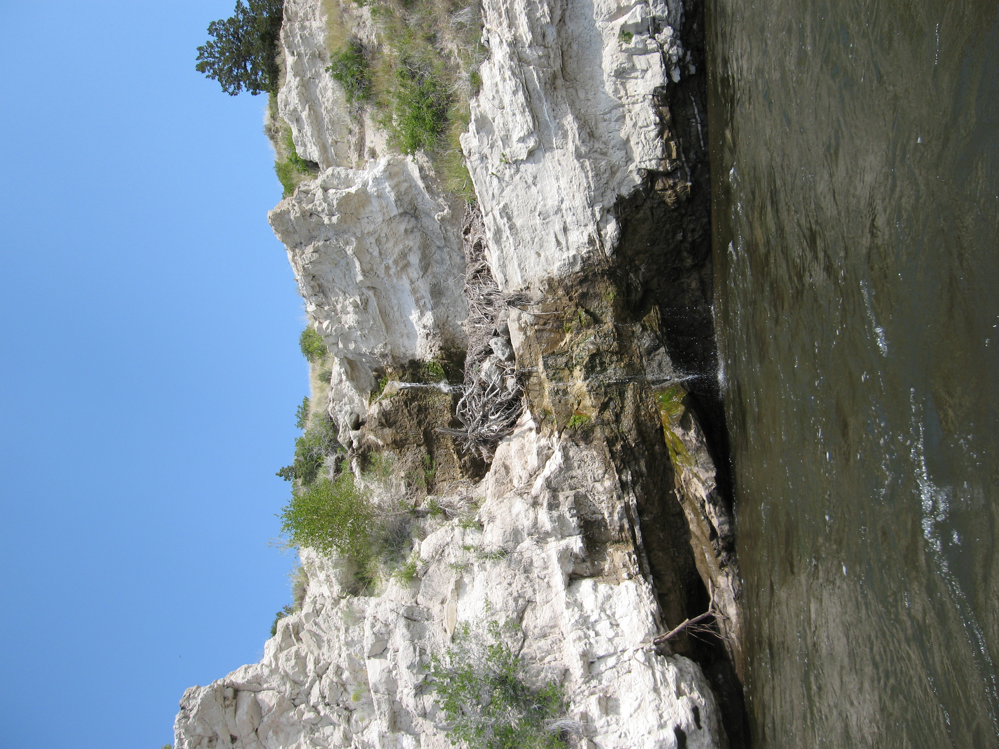
Interesting sandstone outcropping
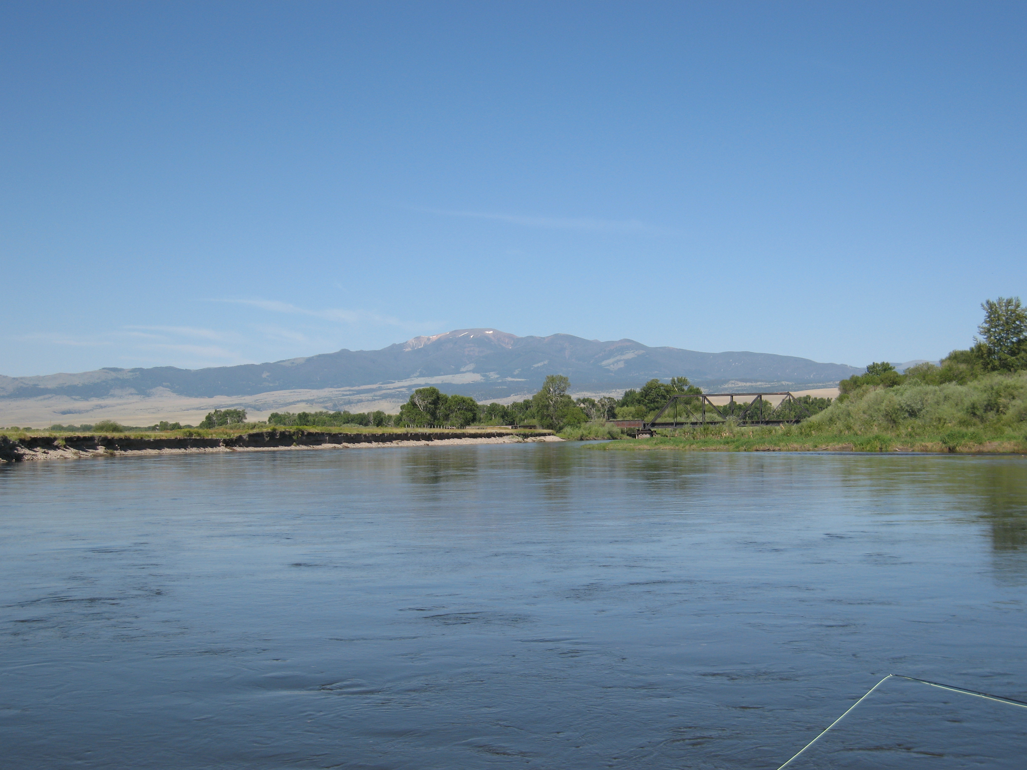
Table Mountain and railroad trestle

A pony in Pony, Montana
Stuck between a rock
First pass complete

Jake and dad
Looking up at Point of Rocks
Topographic Map of S Boulder Rd, Cardwell, MT, USA
Find elevation by address:

Places near S Boulder Rd, Cardwell, MT, USA:
Middle Mountain
Sailor Lake
10 Isdell St, Pony, MT, USA
Pony
Potosi Road
681 Point Of Rocks Rd
Mount Bradley
53 Carney Ln, Whitehall, MT, USA
Cardwell
Whitehall
Harrison
Norwegian Creek Road
Mill Creek Rd, Sheridan, MT, USA
Madison County
Old Mill Rd, Harrison, MT, USA
3408 Mt-287
3408 Mt-287
101 Montana St
312 Sterling Rd
1500 Masters Blvd
Recent Searches:
- Elevation of Leguwa, Nepal
- Elevation of County Rd, Enterprise, AL, USA
- Elevation of Kolchuginsky District, Vladimir Oblast, Russia
- Elevation of Shustino, Vladimir Oblast, Russia
- Elevation of Lampiasi St, Sarasota, FL, USA
- Elevation of Elwyn Dr, Roanoke Rapids, NC, USA
- Elevation of Congressional Dr, Stevensville, MD, USA
- Elevation of Bellview Rd, McLean, VA, USA
- Elevation of Stage Island Rd, Chatham, MA, USA
- Elevation of Shibuya Scramble Crossing, 21 Udagawacho, Shibuya City, Tokyo -, Japan