Elevation of Montana St, Sheridan, MT, USA
Location: United States > Montana > Madison County > Sheridan >
Longitude: -112.19110
Latitude: 45.4559697
Elevation: 1572m / 5157feet
Barometric Pressure: 84KPa
Elevation Map:
Satellite Map:
Related Photos:

Salisbury, Montana

Sinclair Station, Sheridan, MT

080802_020-View near our cabin
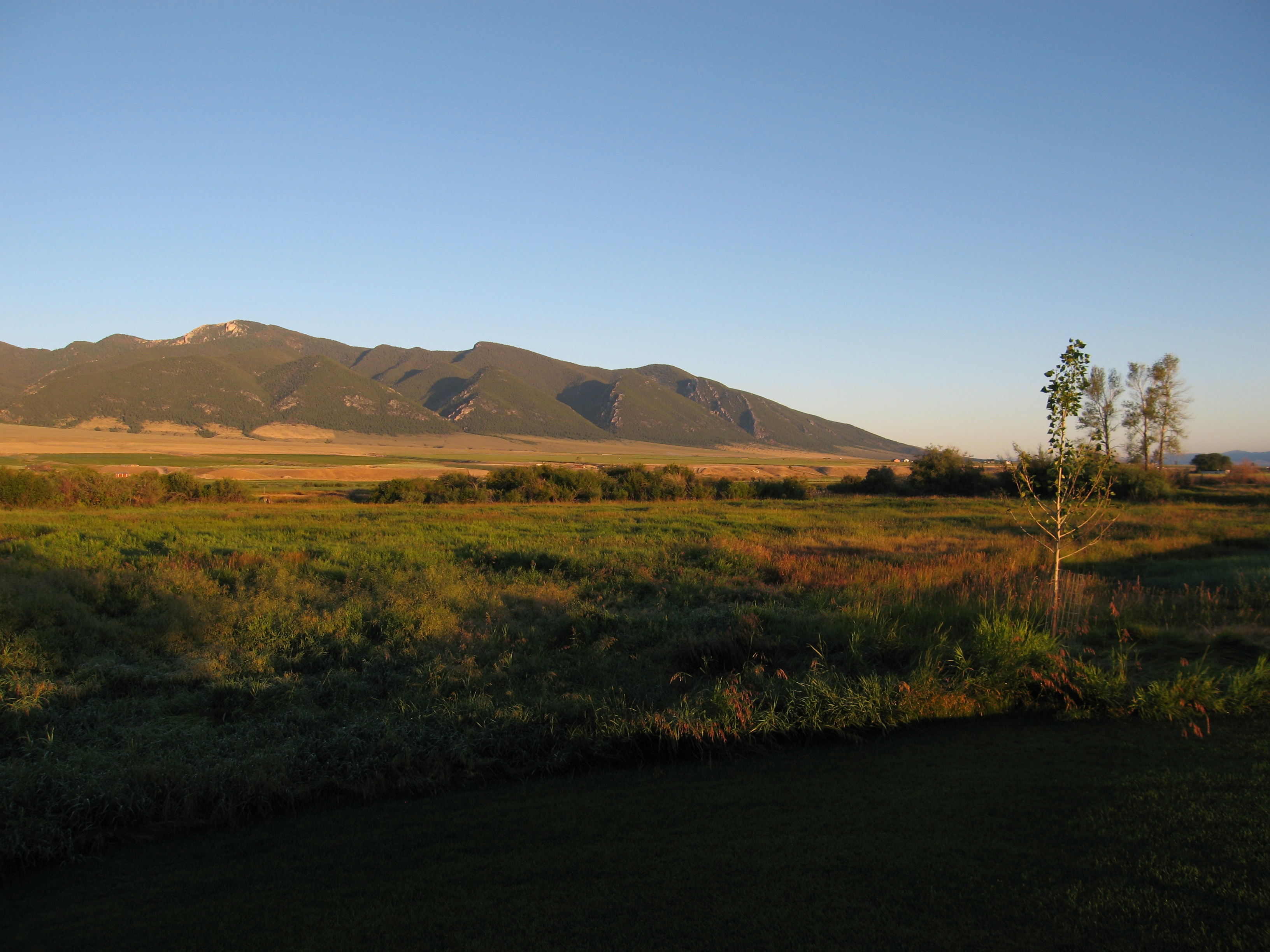
080731_001-Morning view from our cabin

Twin Bridges, Montana 59754
080730_013-View from our cabin at Ruby Springs

Twin Bridges, Montana 59754

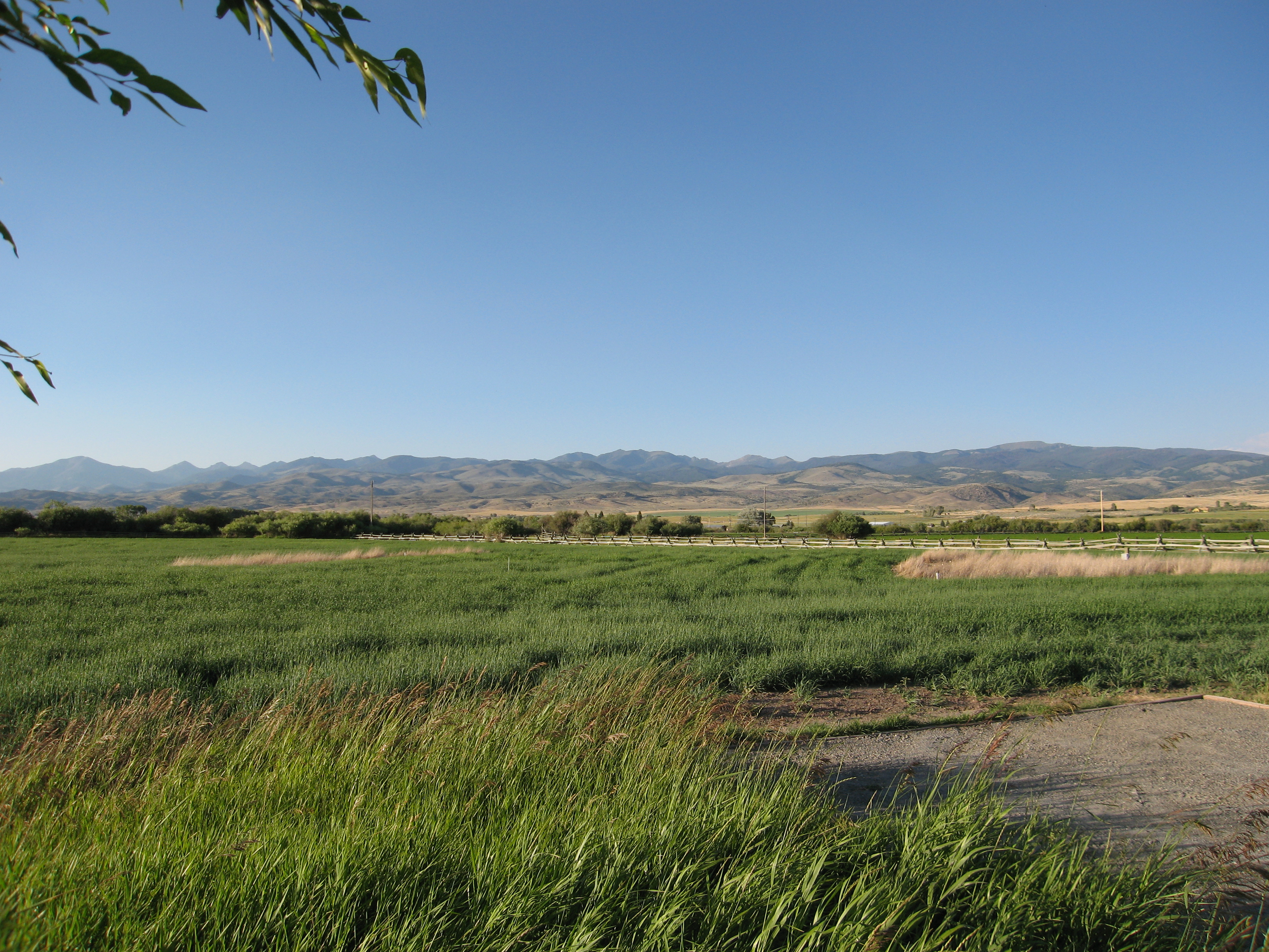
View along my afternoon walk

Montana sunset

So nice to be back here!

Morning sun

Ruby Mountains

090731_002-Morning at Ruby Springs Lodge

Ruby Springs Lodge

Storms and sunbeams

090731_022-Evening at Ruby Springs Lodge

Morning sun

Storms move through the Ruby Valley

080803_001-Tree we were shooting with the AR-50

Deer in adjacent field

Laurin, MT

Sunrise on the Rubies

Ruby River at the lodge
Topographic Map of Montana St, Sheridan, MT, USA
Find elevation by address:

Places near Montana St, Sheridan, MT, USA:
1500 Masters Blvd
Sheridan
3408 Mt-287
3408 Mt-287
Mill Creek Rd, Sheridan, MT, USA
Alder
Twin Bridges
Sailor Lake
4413 Mt-41
Middle Mountain
Unnamed Road
Mount Bradley
630 Mill Gulch Rd
53 Carney Ln, Whitehall, MT, USA
Nevada City
Unnamed Road
972 S Boulder Rd
Virginia City
Madison County
Potosi Road
Recent Searches:
- Elevation of Woodland Oak Pl, Thousand Oaks, CA, USA
- Elevation of Brownsdale Rd, Renfrew, PA, USA
- Elevation of Corcoran Ln, Suffolk, VA, USA
- Elevation of Mamala II, Sariaya, Quezon, Philippines
- Elevation of Sarangdanda, Nepal
- Elevation of 7 Waterfall Way, Tomball, TX, USA
- Elevation of SW 57th Ave, Portland, OR, USA
- Elevation of Crocker Dr, Vacaville, CA, USA
- Elevation of Pu Ngaol Community Meeting Hall, HWHM+3X7, Krong Saen Monourom, Cambodia
- Elevation of Royal Ontario Museum, Queens Park, Toronto, ON M5S 2C6, Canada