Elevation of Alder, MT, USA
Location: United States > Montana > Madison County >
Longitude: -112.10720
Latitude: 45.3238131
Elevation: 1560m / 5118feet
Barometric Pressure: 84KPa
Elevation Map:
Satellite Map:
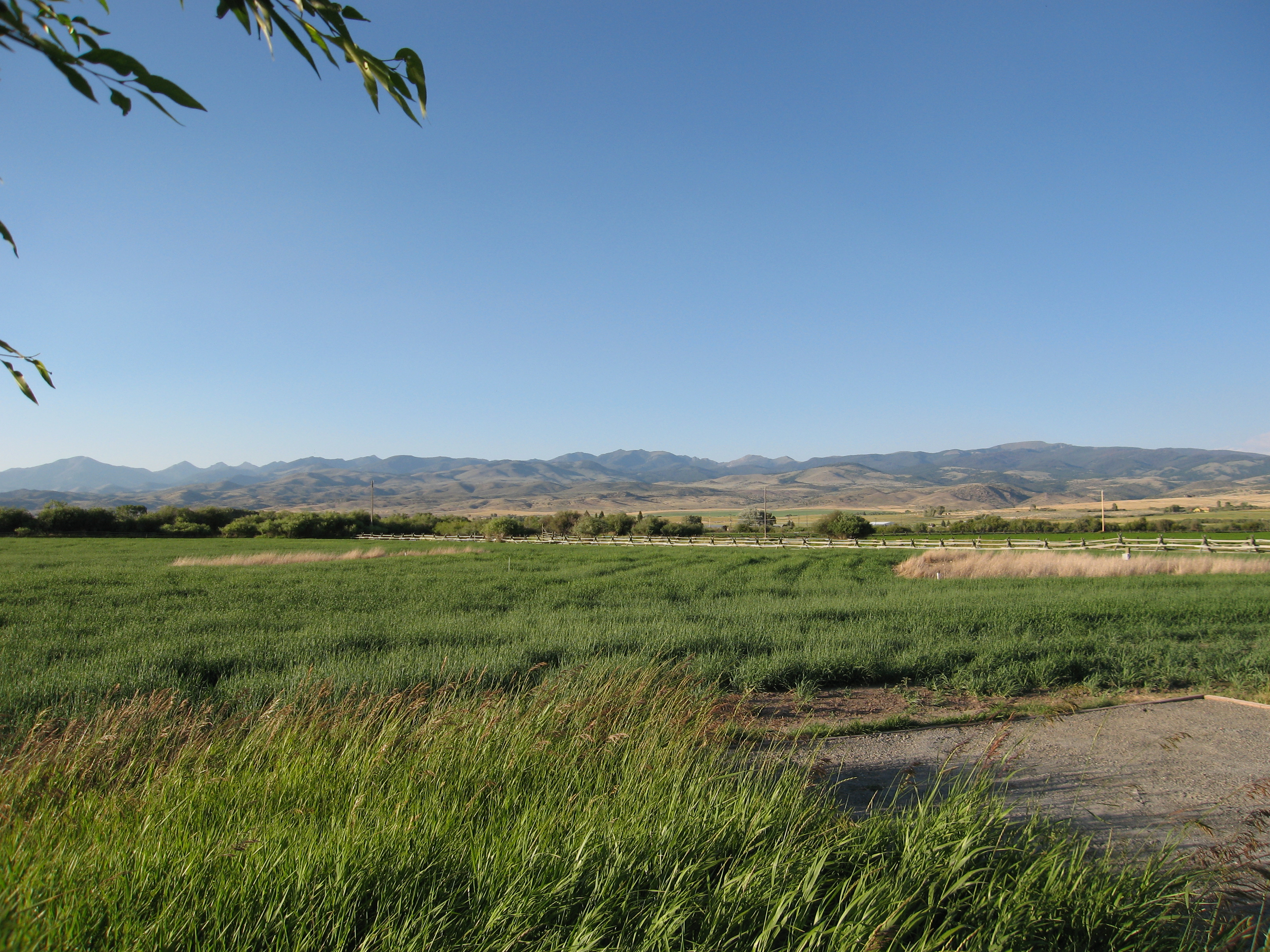
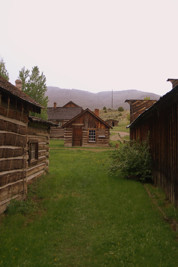
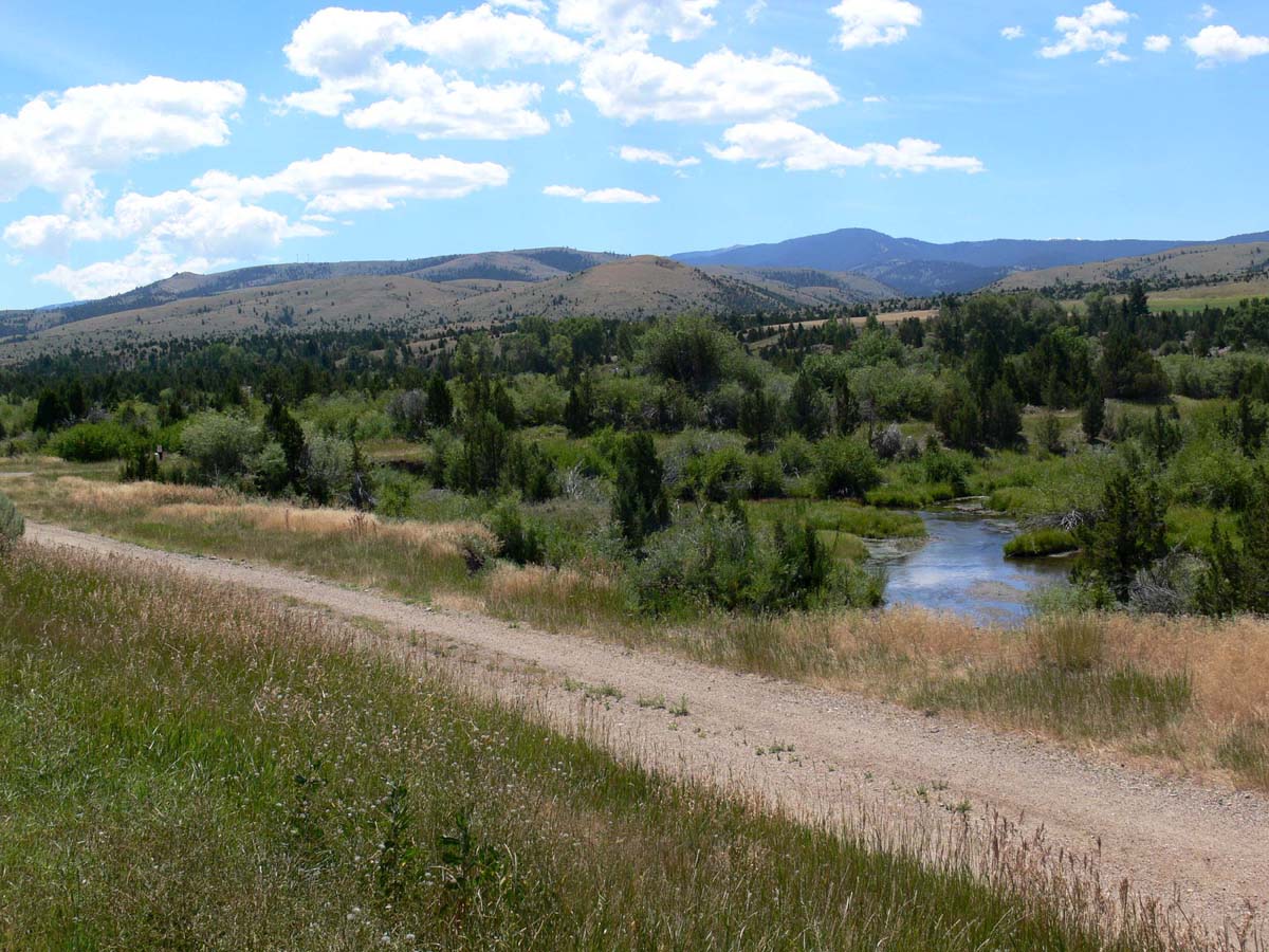
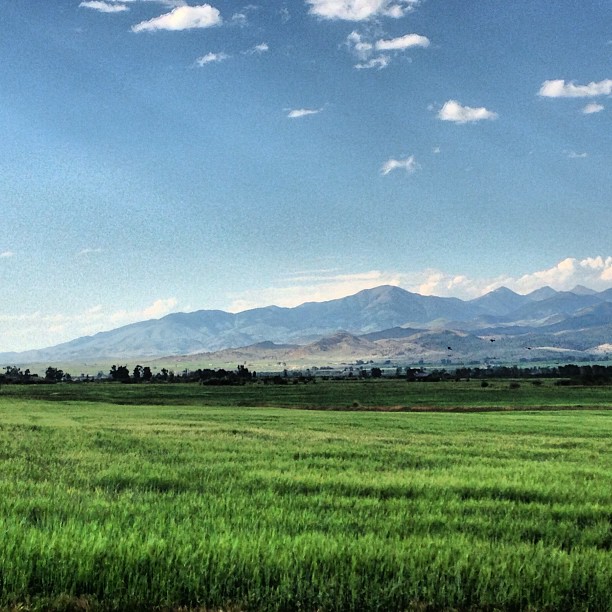
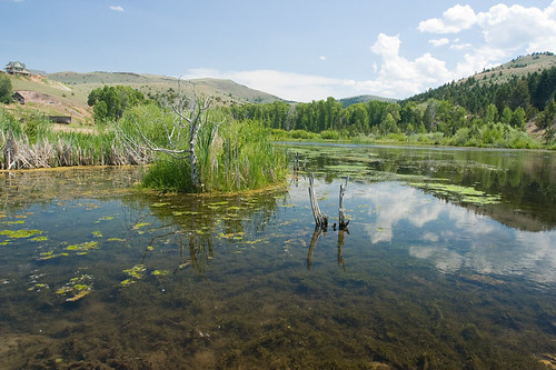
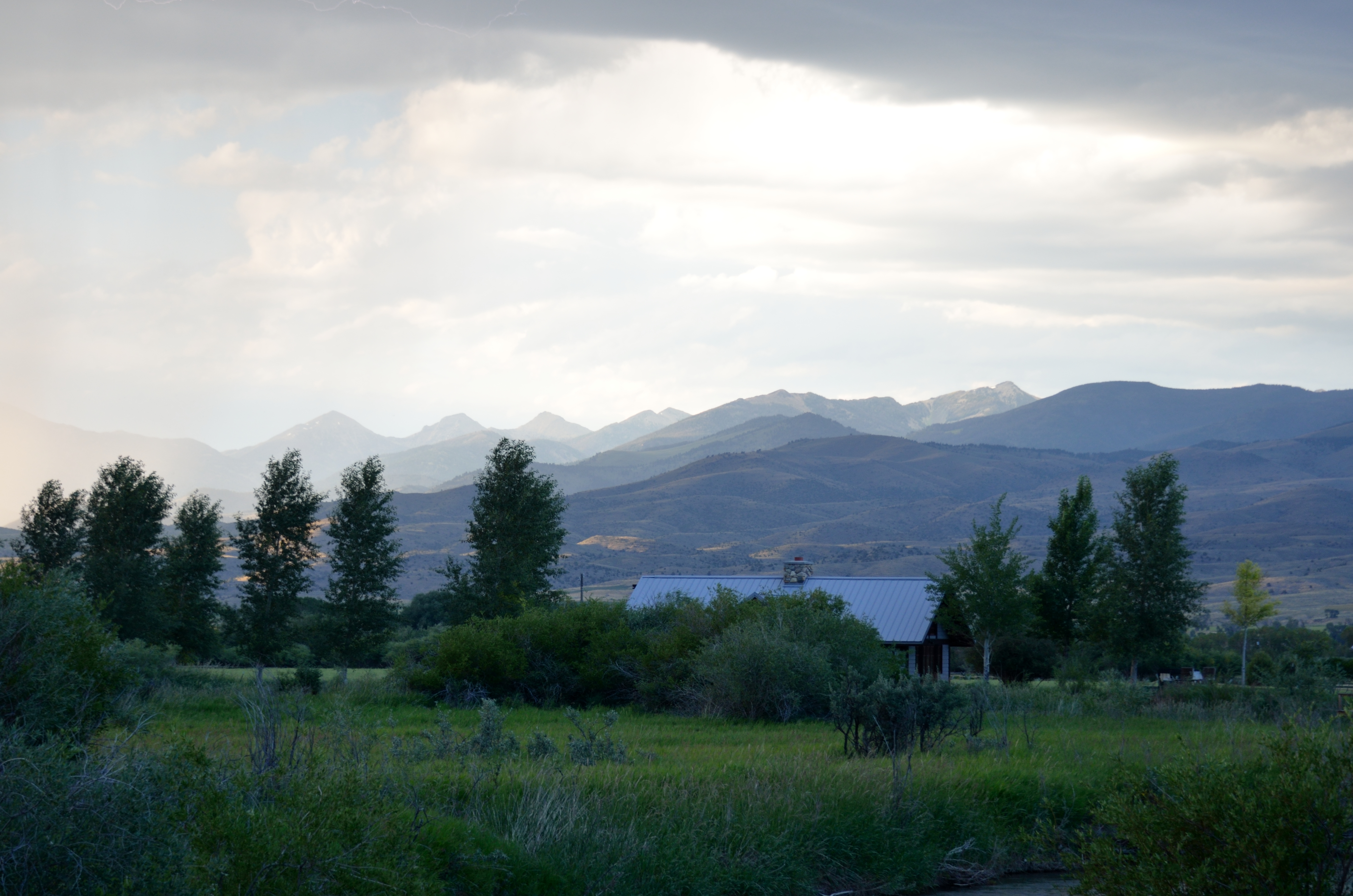
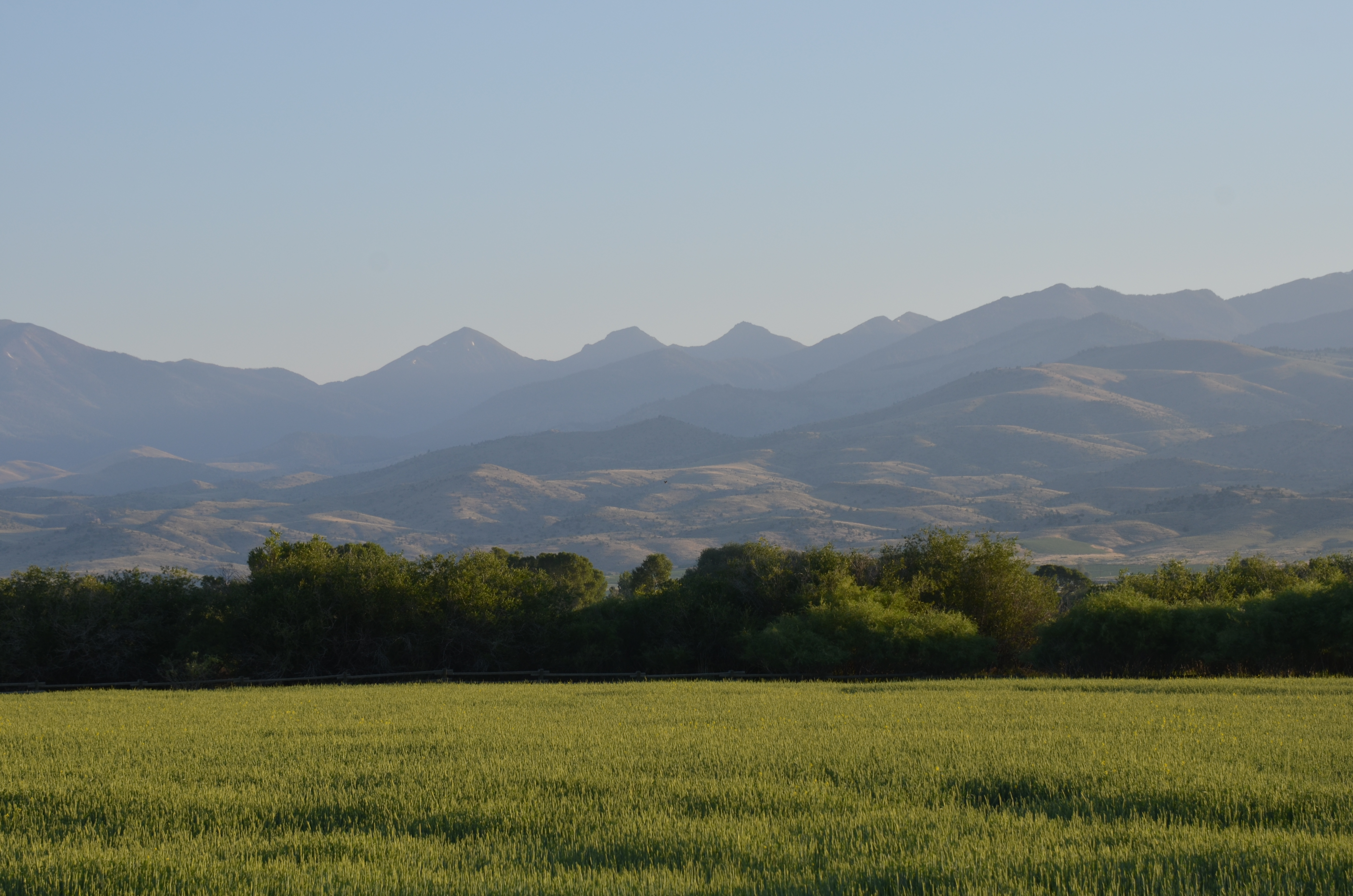
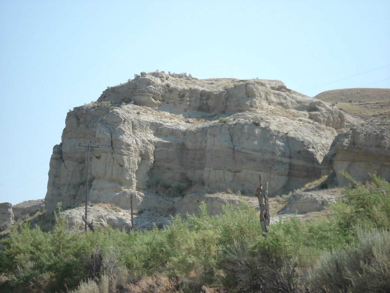
Related Photos:
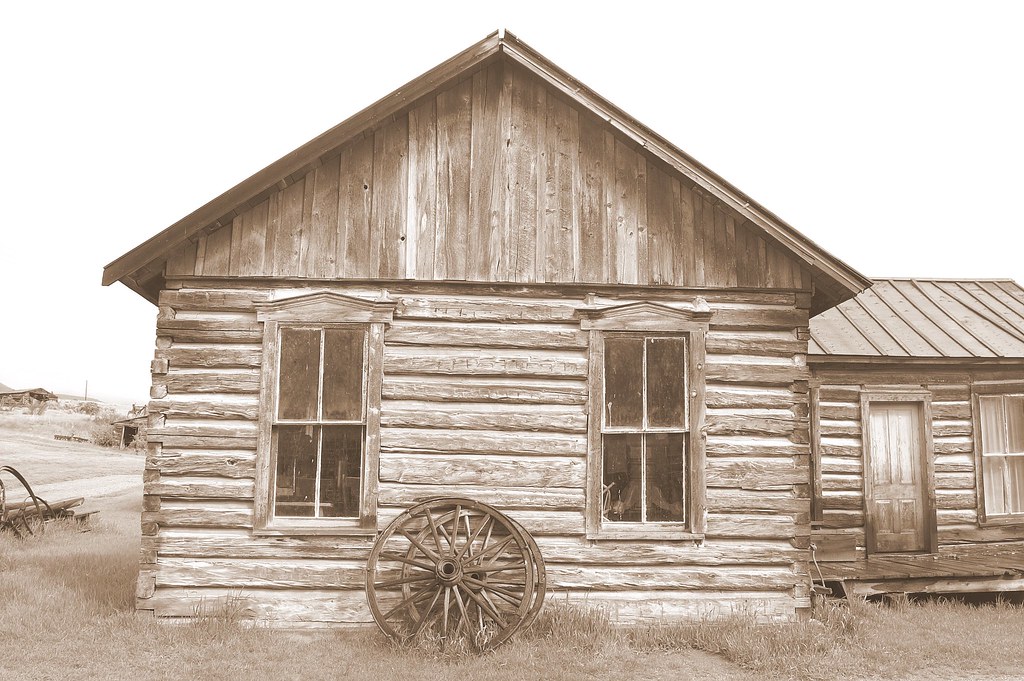
Sepia view
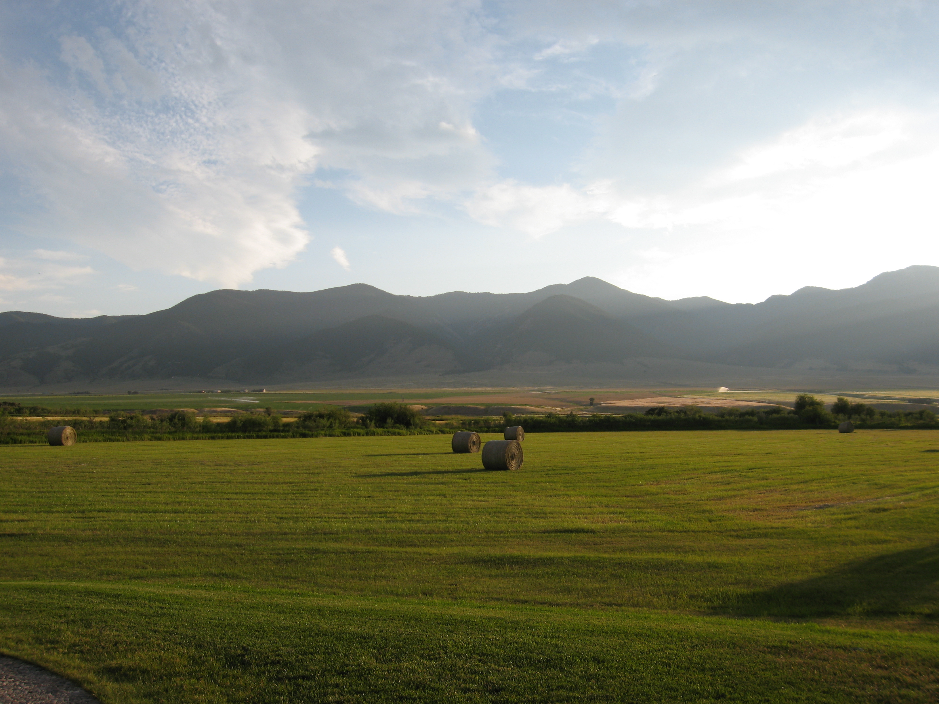
080801_028-View from Ruby Springs Lodge
080802_020-View near our cabin
080731_001-Morning view from our cabin
080730_013-View from our cabin at Ruby Springs
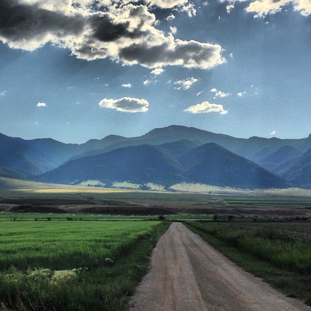
View from the road
Adobetown, Montana
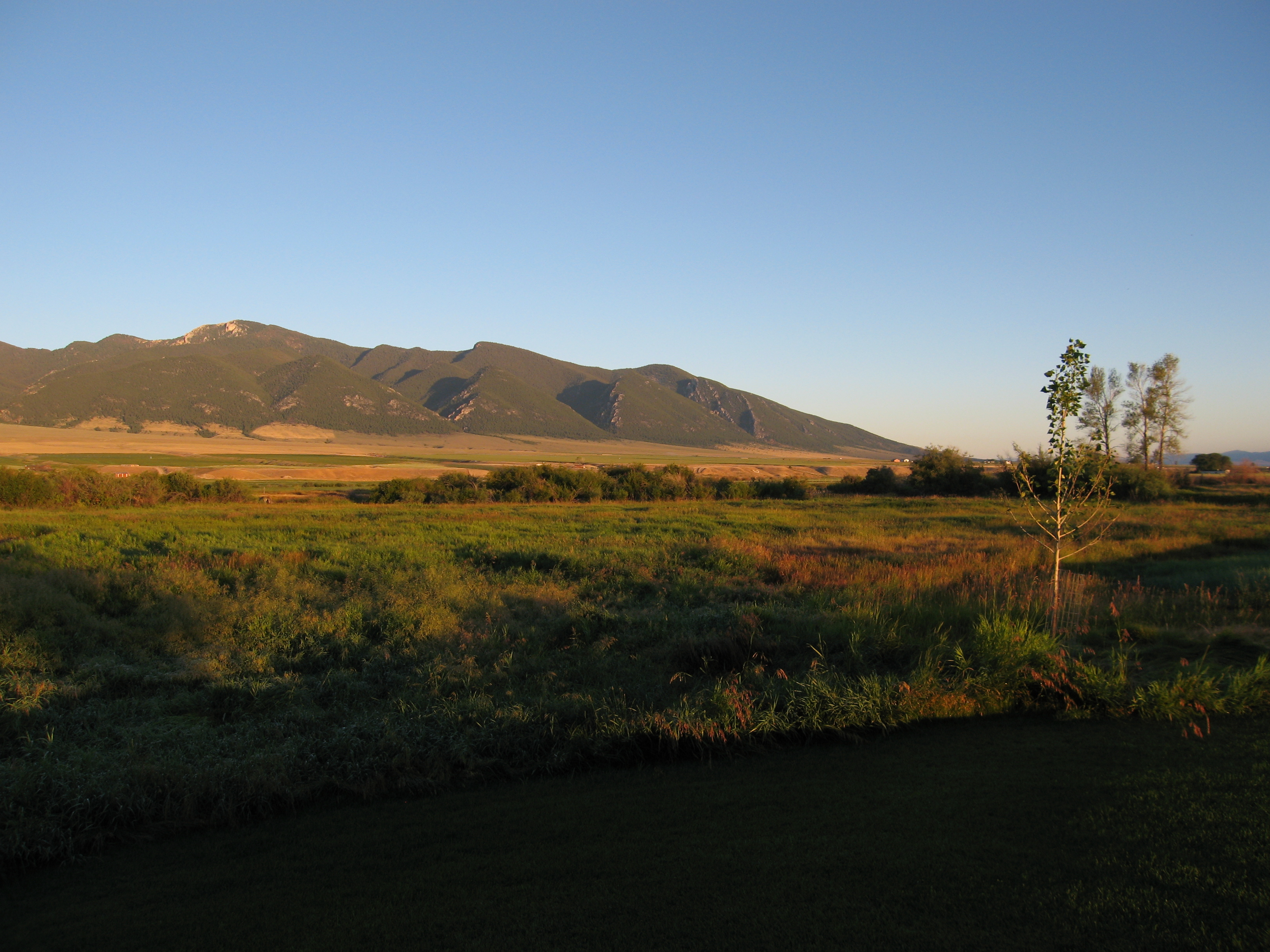
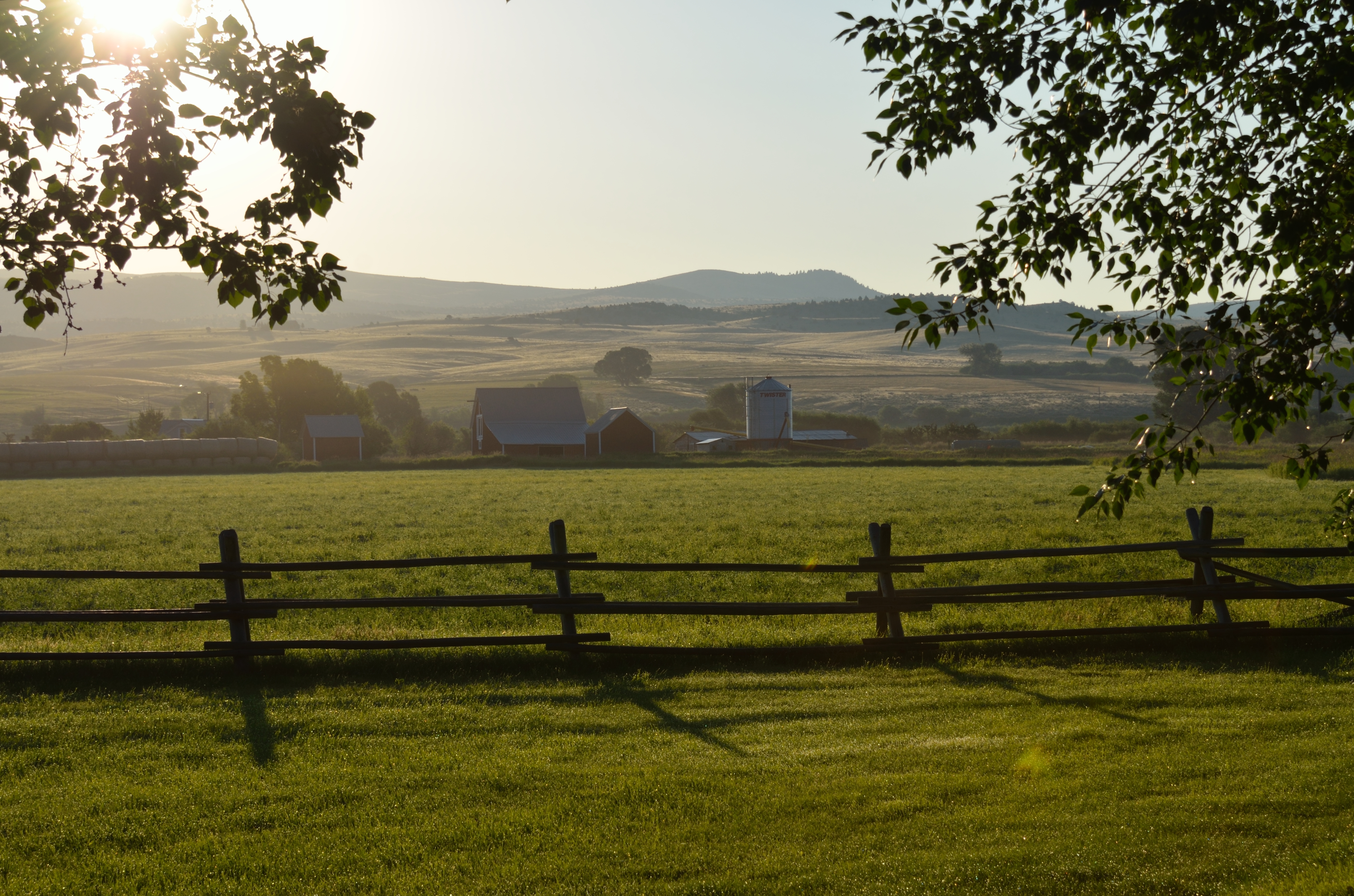
View along my afternoon walk
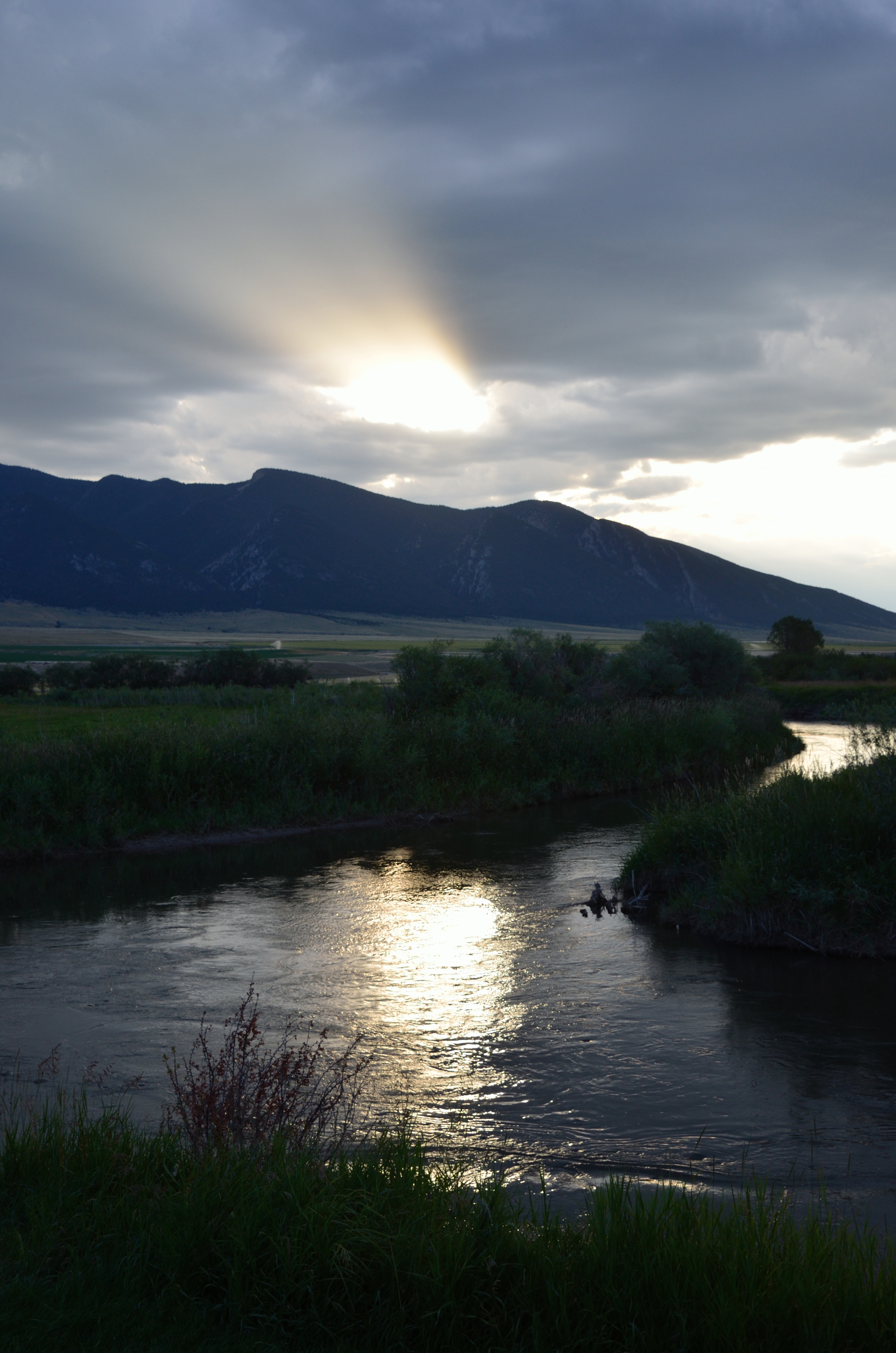
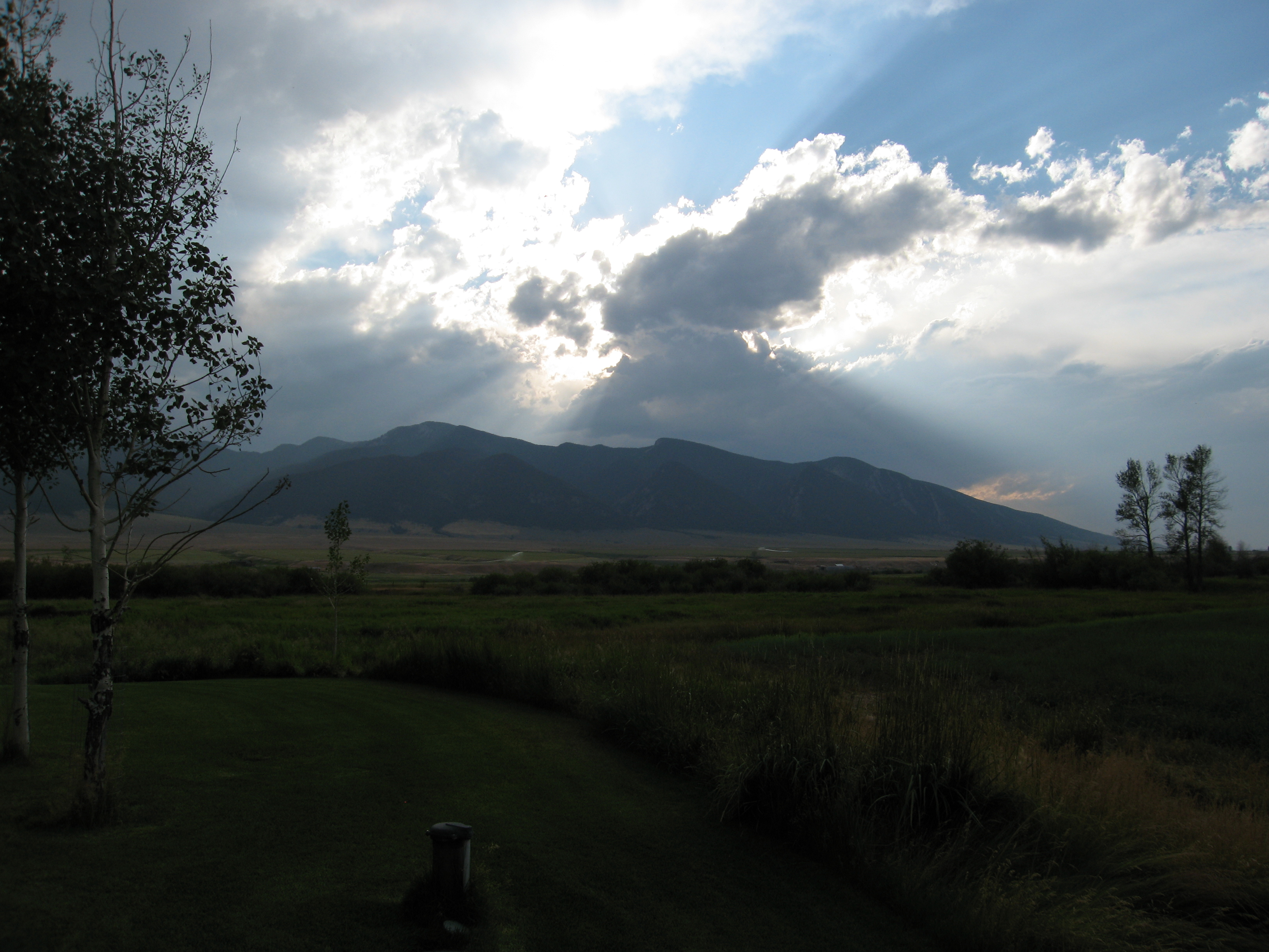
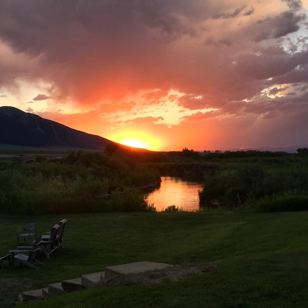
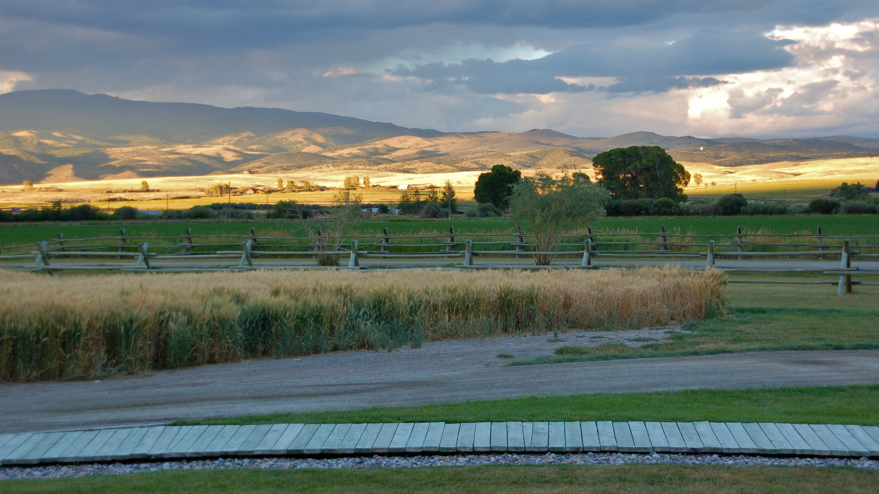
Storms and sunbeams
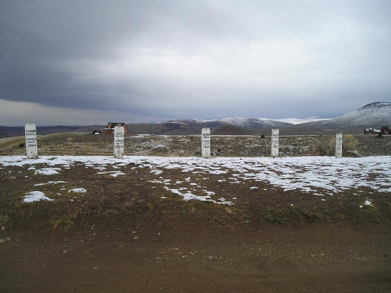
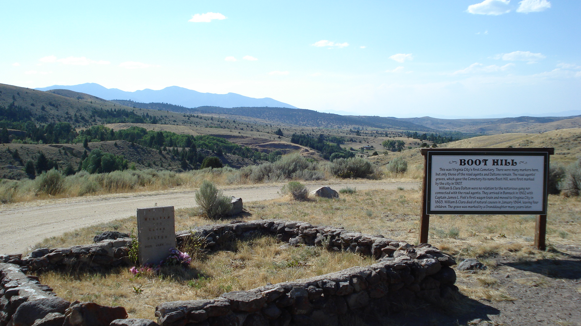
Boot Hill

"Nevada City Montana"
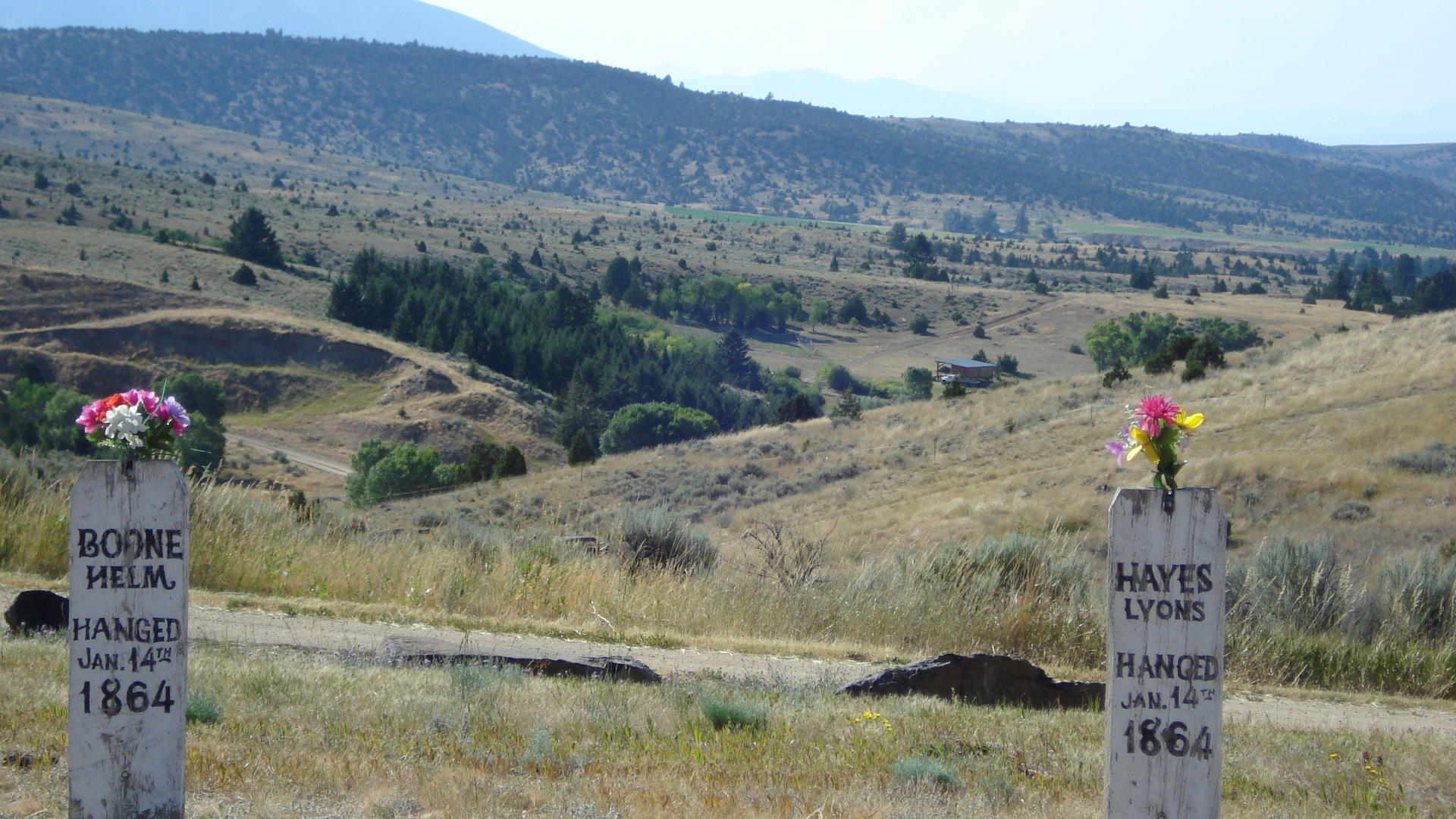
Virginia City
Ruby Mountains

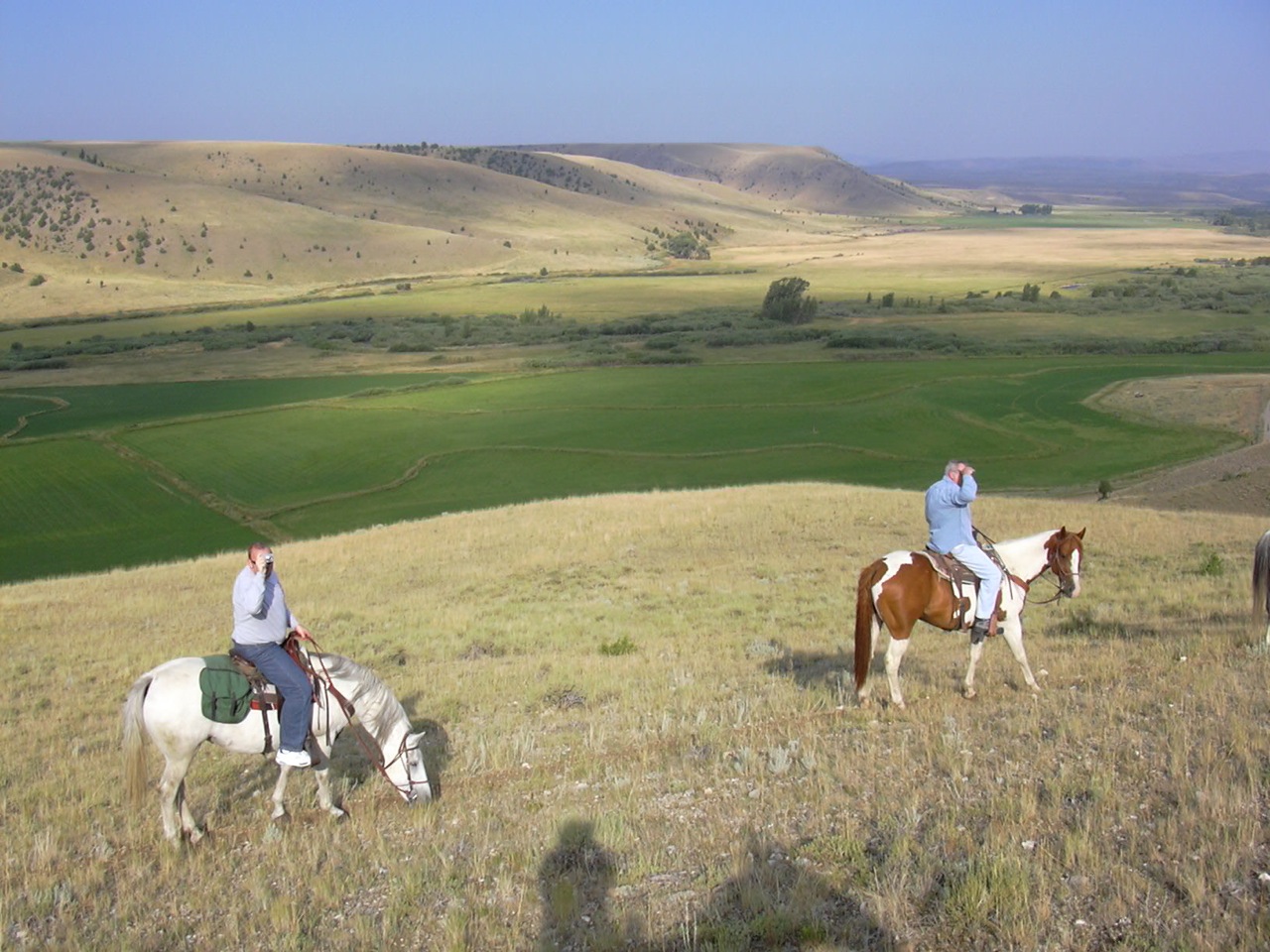
Anybody out here?
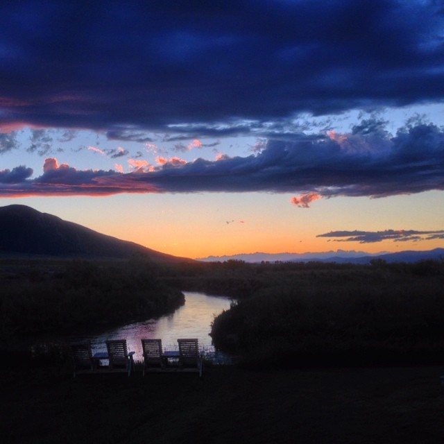
Montana sunset
So nice to be back here!

DSCN0672.JPG
Morning sun
Virginia City

20130811-033
DSCN0668.JPG
090731_002-Morning at Ruby Springs Lodge
Ruby Springs Lodge
090731_022-Evening at Ruby Springs Lodge
Virginia City, MT
Storms move through the Ruby Valley
Morning sun
DSC00519.JPG
Topographic Map of Alder, MT, USA
Find elevation by address:

Places in Alder, MT, USA:
Places near Alder, MT, USA:
Unnamed Road
630 Mill Gulch Rd
Nevada City
Mill Creek Rd, Sheridan, MT, USA
Unnamed Road
101 Montana St
Sheridan
1500 Masters Blvd
Virginia City
3408 Mt-287
3408 Mt-287
Mount Bradley
Montana 287
Madison County
Middle Mountain
Sailor Lake
109 Dry Creek Trail
162 Antler Trail
47 Badger Rd
Twin Bridges
Recent Searches:
- Elevation of Corso Fratelli Cairoli, 35, Macerata MC, Italy
- Elevation of Tallevast Rd, Sarasota, FL, USA
- Elevation of 4th St E, Sonoma, CA, USA
- Elevation of Black Hollow Rd, Pennsdale, PA, USA
- Elevation of Oakland Ave, Williamsport, PA, USA
- Elevation of Pedrógão Grande, Portugal
- Elevation of Klee Dr, Martinsburg, WV, USA
- Elevation of Via Roma, Pieranica CR, Italy
- Elevation of Tavkvetili Mountain, Georgia
- Elevation of Hartfords Bluff Cir, Mt Pleasant, SC, USA