Elevation of 47 Badger Rd, Ennis, MT, USA
Location: United States > Montana > Ennis >
Longitude: -111.79588
Latitude: 45.2911567
Elevation: 1653m / 5423feet
Barometric Pressure: 83KPa
Elevation Map:
Satellite Map:
Related Photos:
Craziest sky I ever saw
MADISON VALLEY ~ SOUTHWEST MONTANA
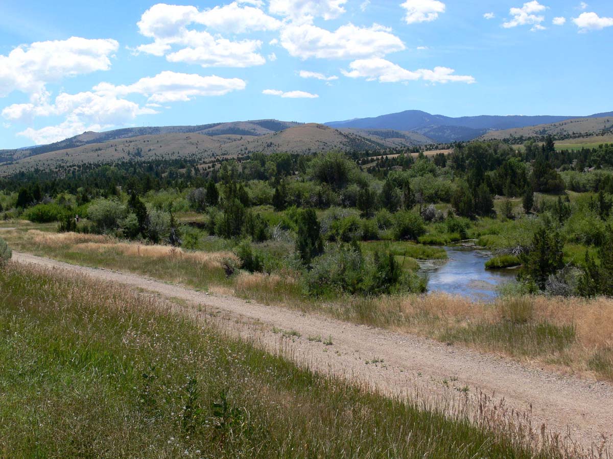
MEADOWS OF THE VALLEY AND SURROUNDING MOUNTAINS ~ SOUTHWEST MONTANA
D70-0916-003 - View
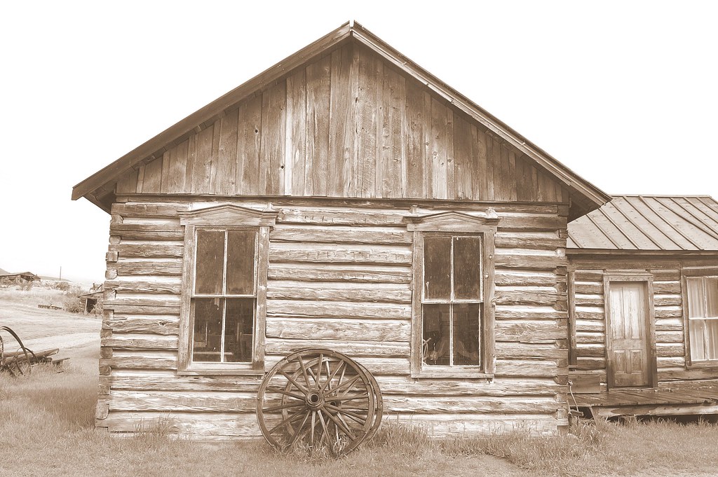
Sepia view
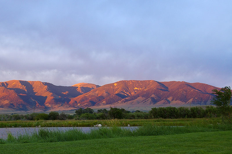
Sunset at the Madison Valley Ranch
Two actors rehearse their lines
080802_017-Scenic view on the way back to the lodge
Adobetown, Montana
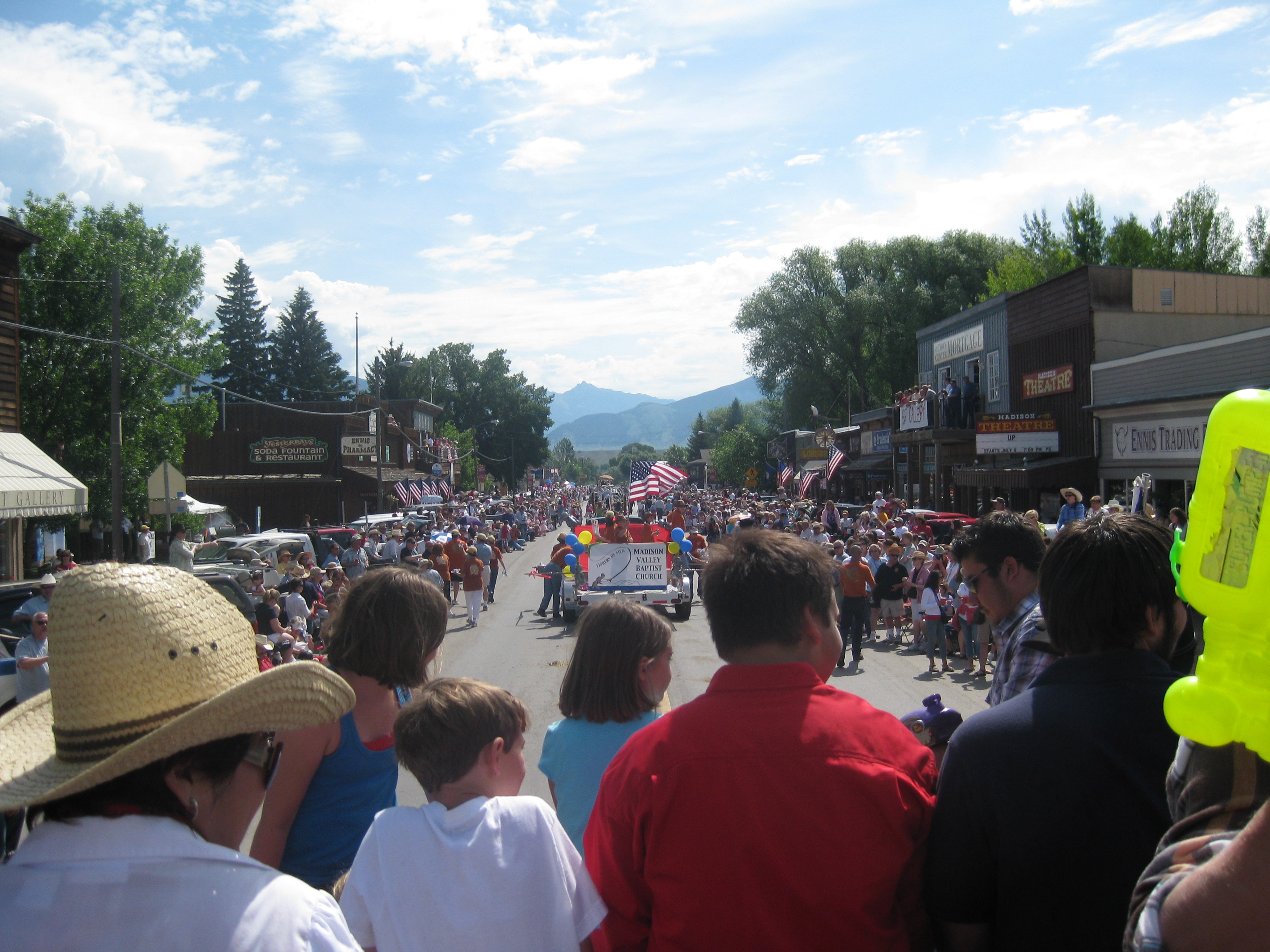
View from the parade.

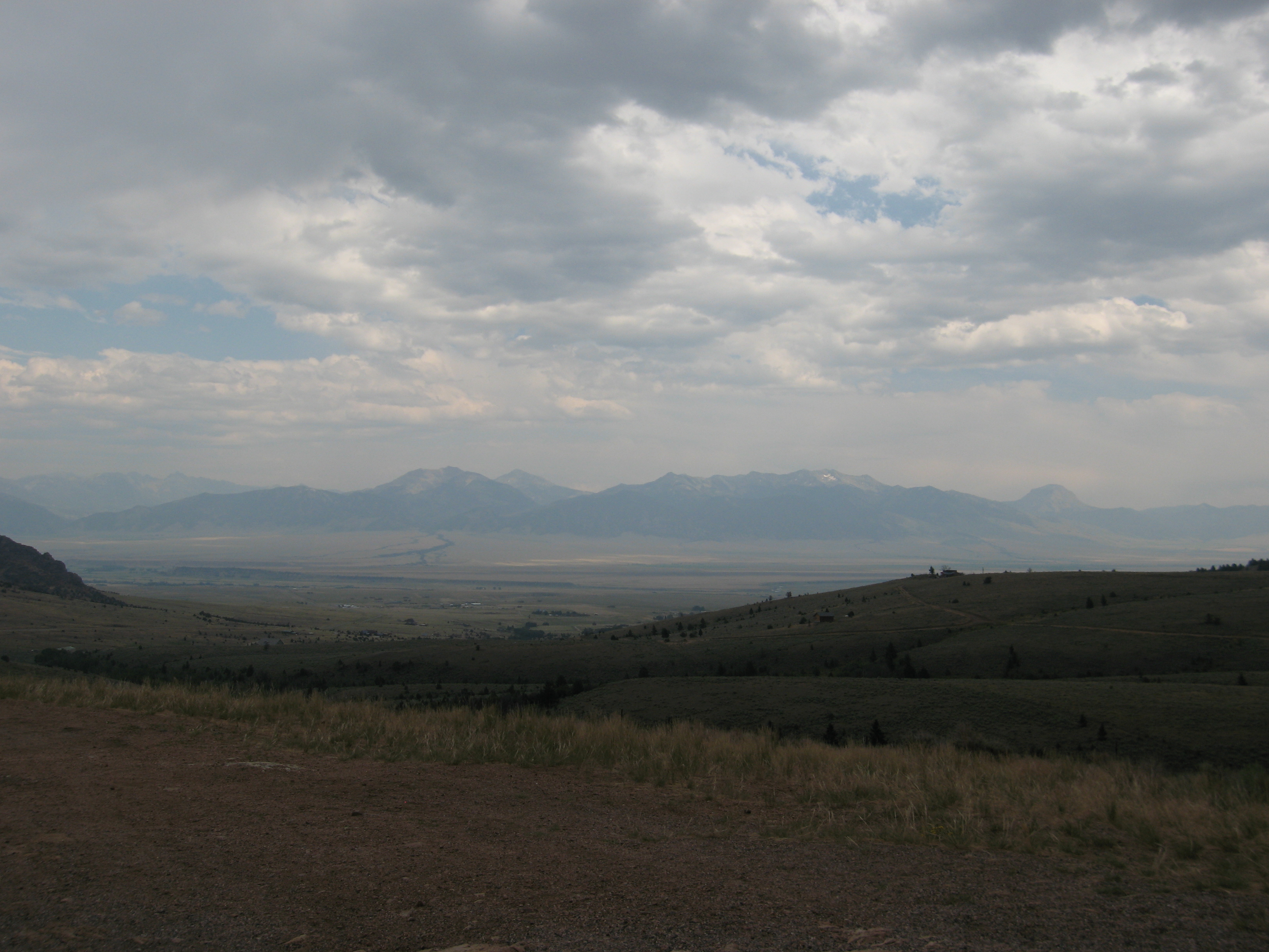
View from the top of the Ennis Pass
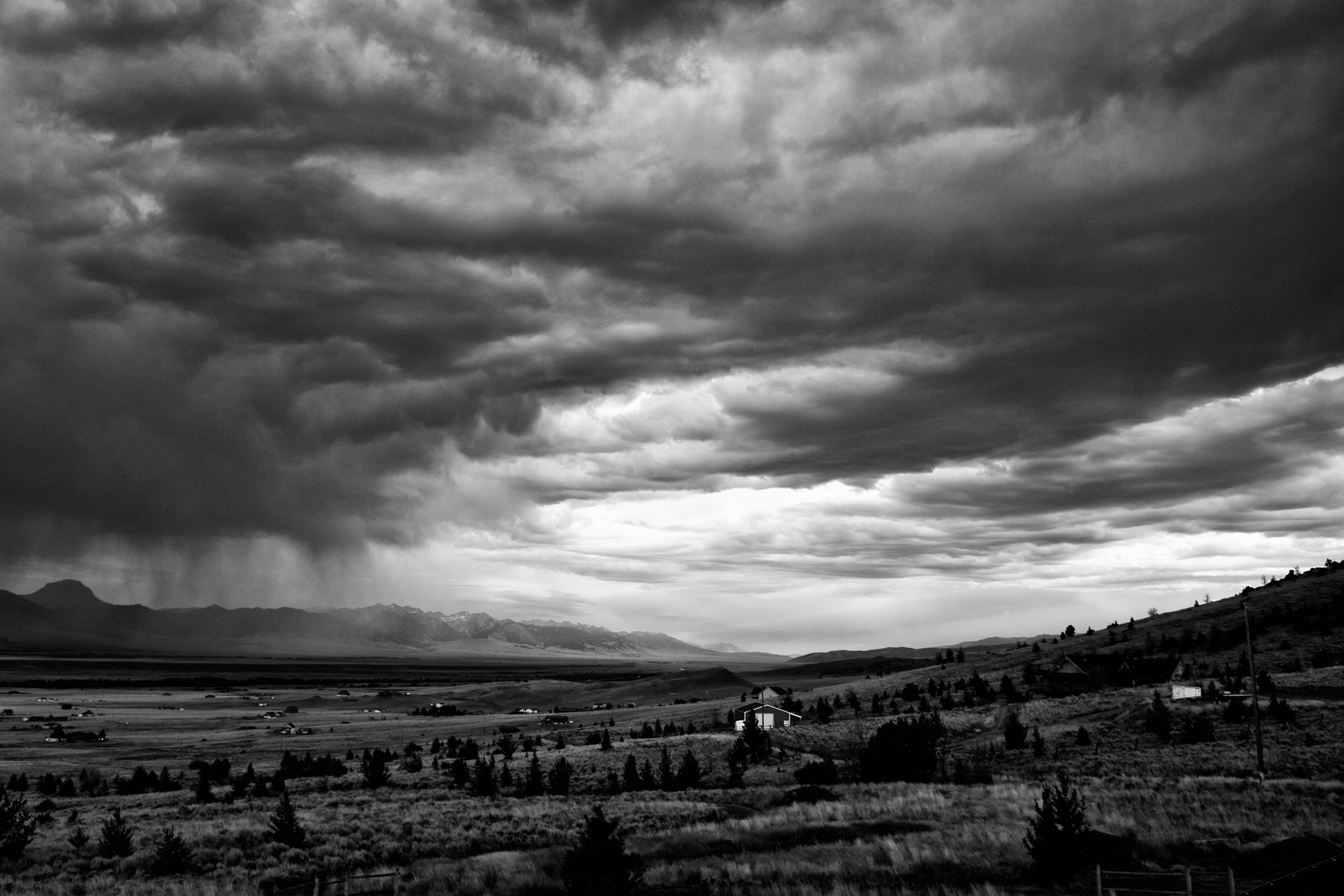
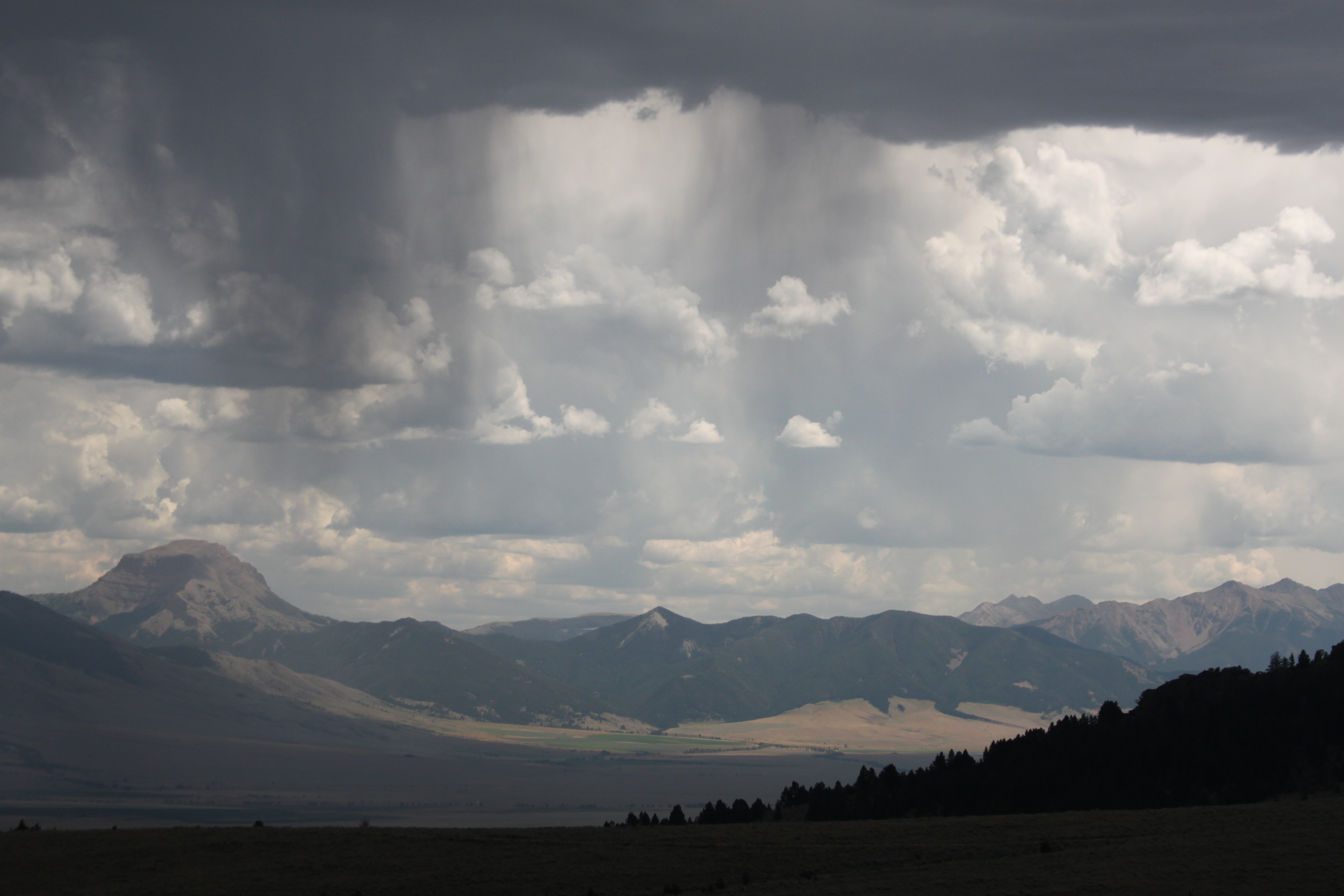
Storm's a brewin'
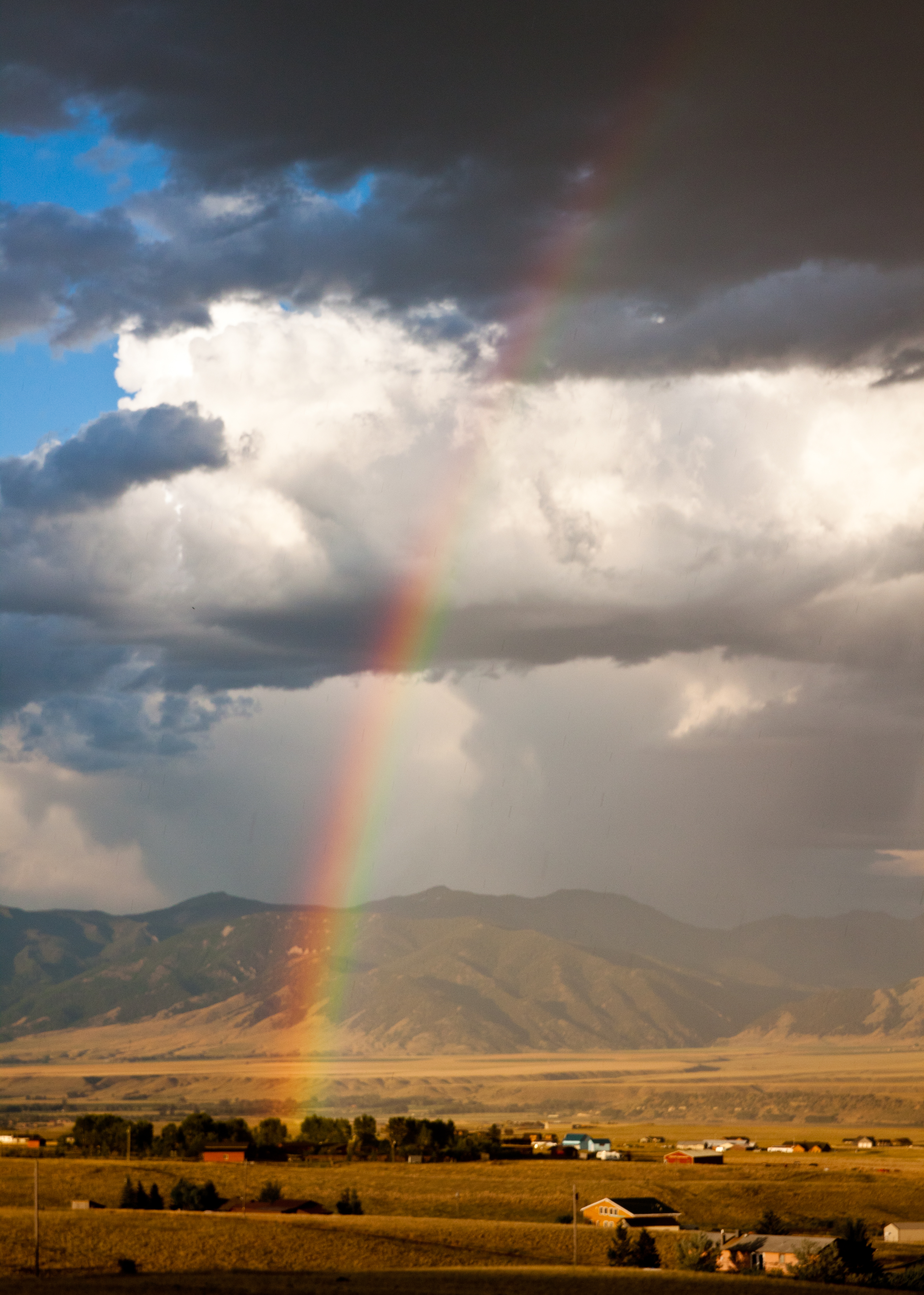
Where's my pot of gold?
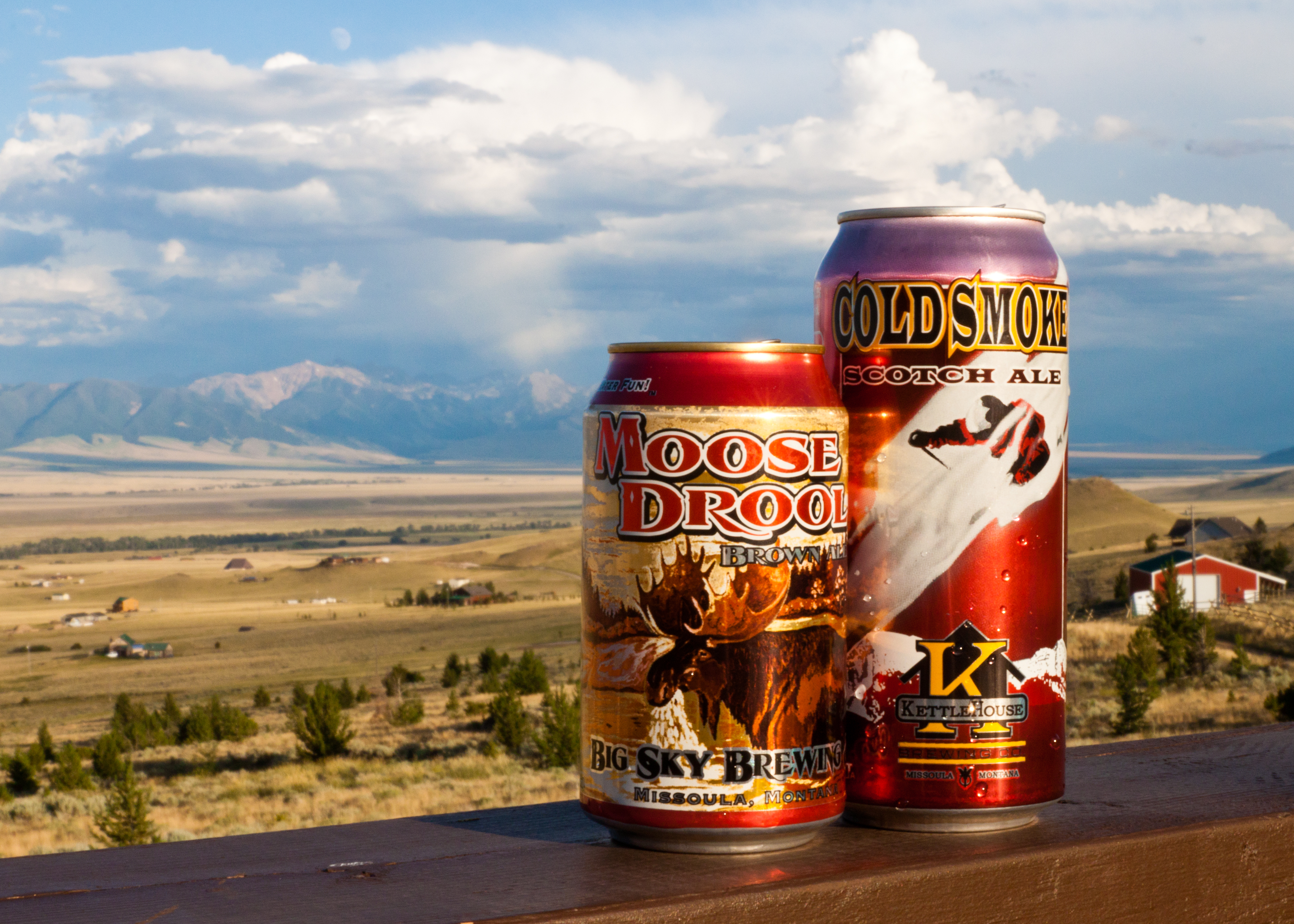
Moose Drool and friend

"Nevada City Montana"
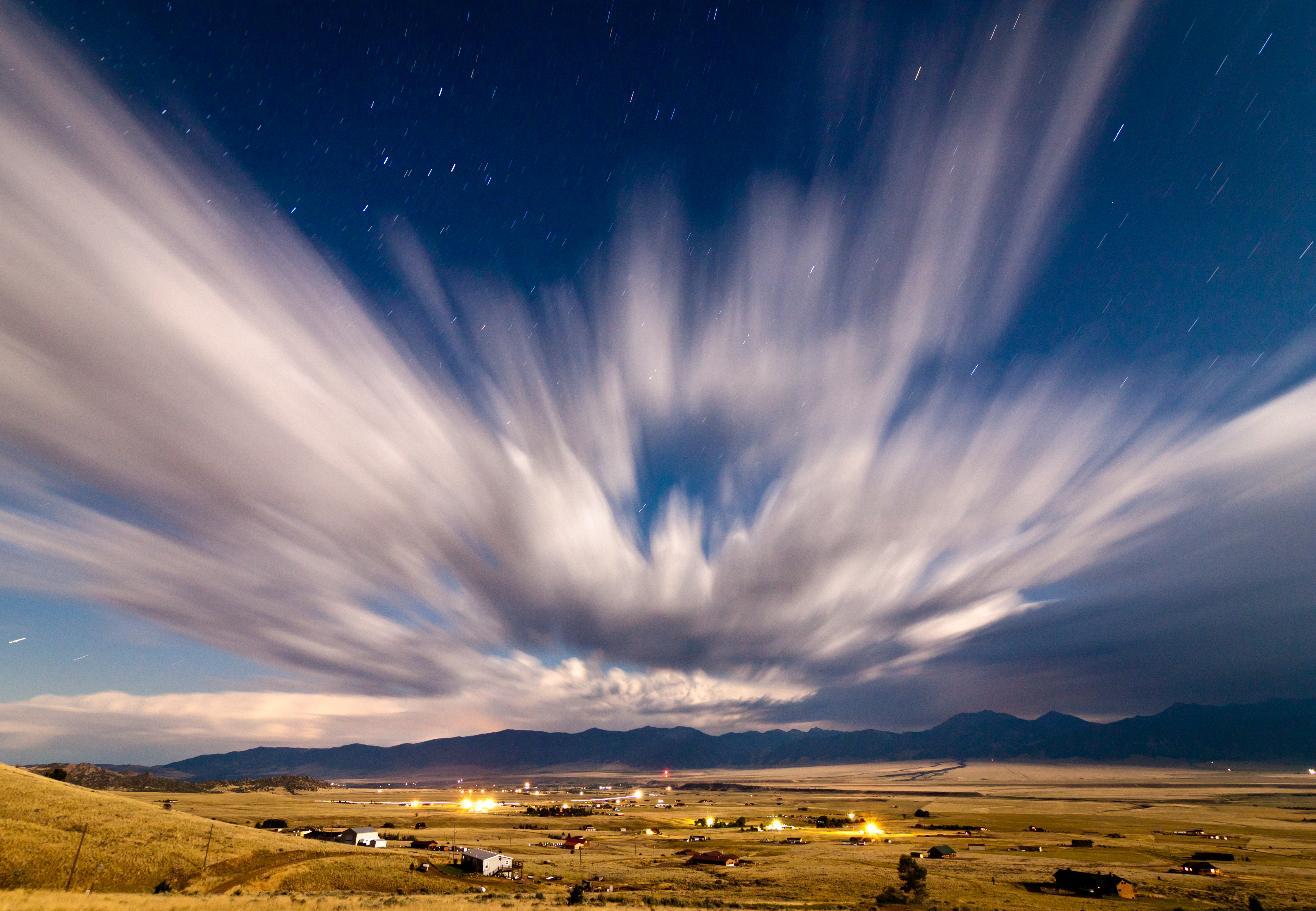
Night, in motion
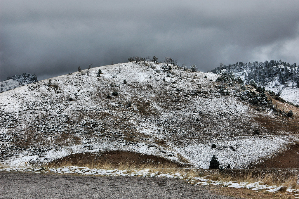
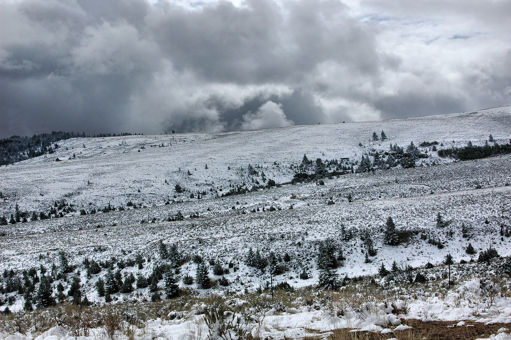
D70-0916-002 - Snow Covered Mountains

The Serengeti of Montana
20130811-040

We've Seen Better Days Around Here (Part 8)
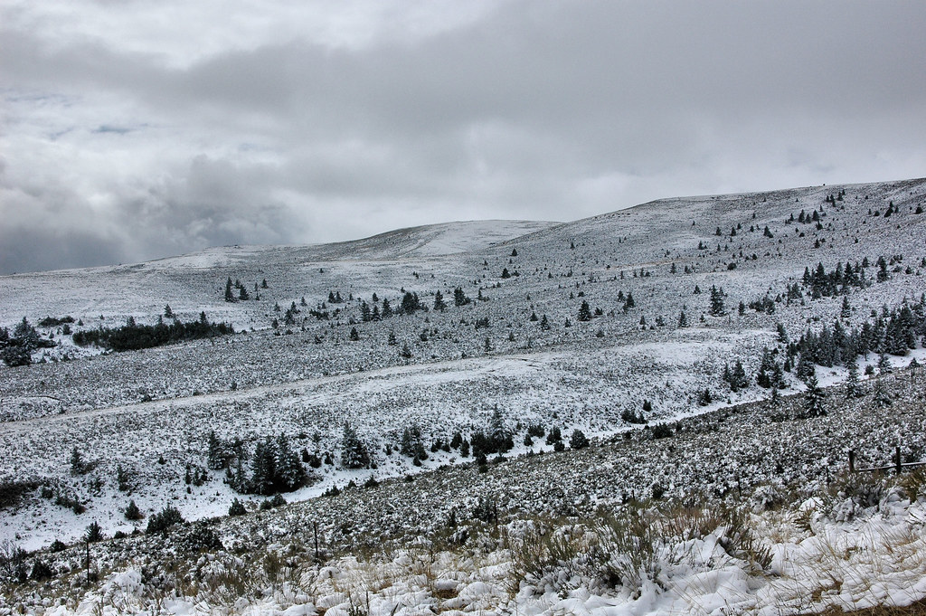
D70-0916-006 - Snow Covered Mountains
D70-0916-005 - Snow Covered Mountains
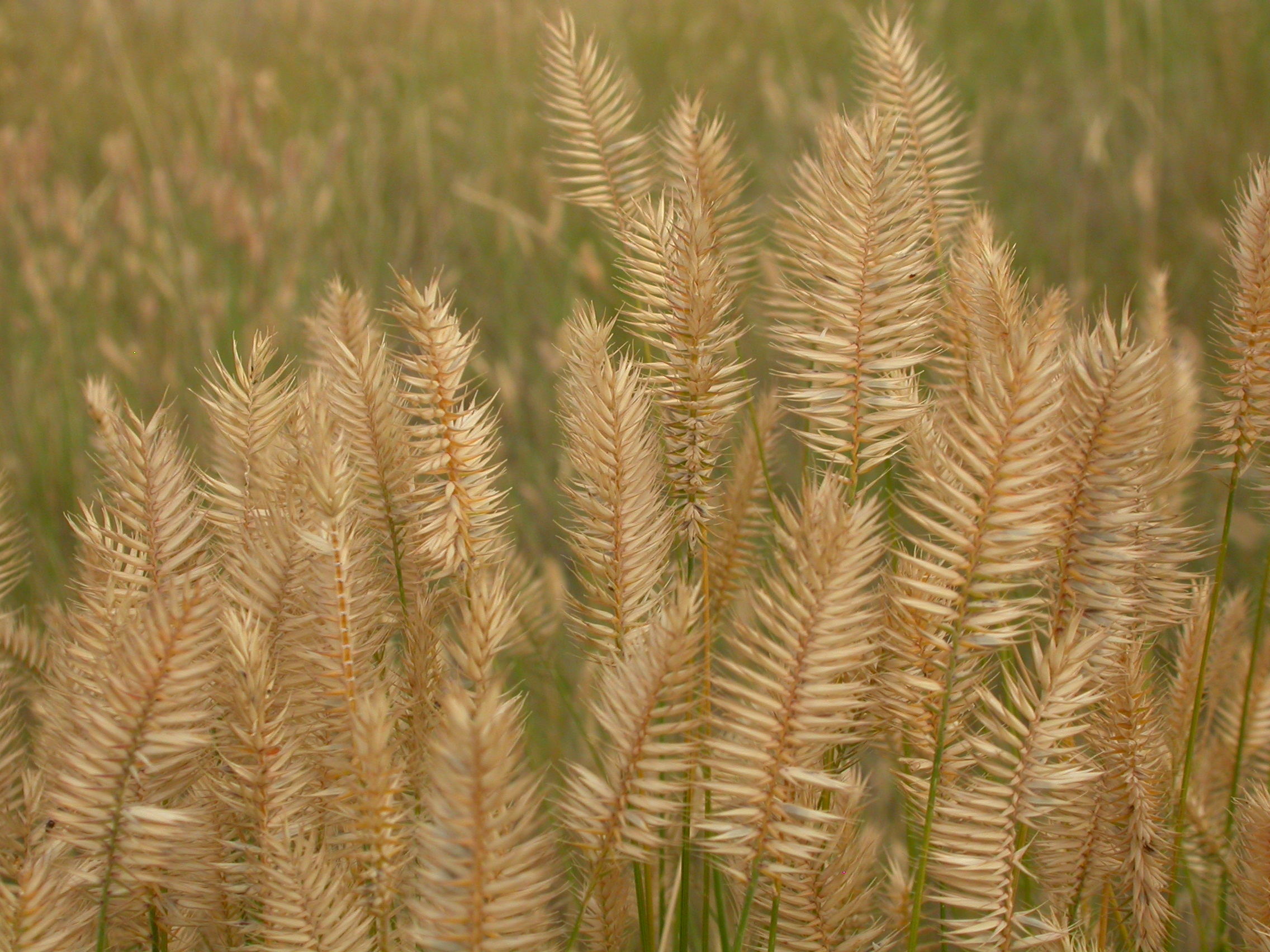
Agropyron cristatum
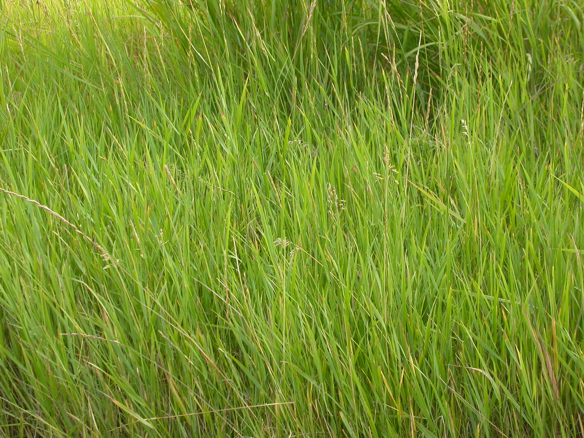
Agropyron repens
Madison Range
Montana_Trip_2011-08-16_12_21_06_McAllister_mmg_2140_Kayaking_Pan

Let's see ... it's down there somewhere
Agropyron cristatum
Mountains East of Ennis
Topographic Map of 47 Badger Rd, Ennis, MT, USA
Find elevation by address:

Places near 47 Badger Rd, Ennis, MT, USA:
33 Mylane
109 Dry Creek Trail
Montana 287
162 Antler Trail
60 Antler Trail
Ennis
Cameron
Virginia City
Mcallister
Nevada City
Ennis Lake Rd, Ennis, MT, USA
Lake Shore Lodge
Madison County
630 Mill Gulch Rd
18 Meadow Lark Ln
Gravelly Range
Cedar Mountain
312 Sterling Rd
Mount Bradley
US-, Norris, MT, USA
Recent Searches:
- Elevation of Tenjo, Cundinamarca, Colombia
- Elevation of Côte-des-Neiges, Montreal, QC H4A 3J6, Canada
- Elevation of Bobcat Dr, Helena, MT, USA
- Elevation of Zu den Ihlowbergen, Althüttendorf, Germany
- Elevation of Badaber, Peshawar, Khyber Pakhtunkhwa, Pakistan
- Elevation of SE Heron Loop, Lincoln City, OR, USA
- Elevation of Slanický ostrov, 01 Námestovo, Slovakia
- Elevation of Spaceport America, Co Rd A, Truth or Consequences, NM, USA
- Elevation of Warwick, RI, USA
- Elevation of Fern Rd, Whitmore, CA, USA