Elevation of Mound City, KS, USA
Location: United States > Kansas > Linn County > Mound City >
Longitude: -94.813573
Latitude: 38.1428068
Elevation: 267m / 876feet
Barometric Pressure: 98KPa
Elevation Map:
Satellite Map:
Related Photos:
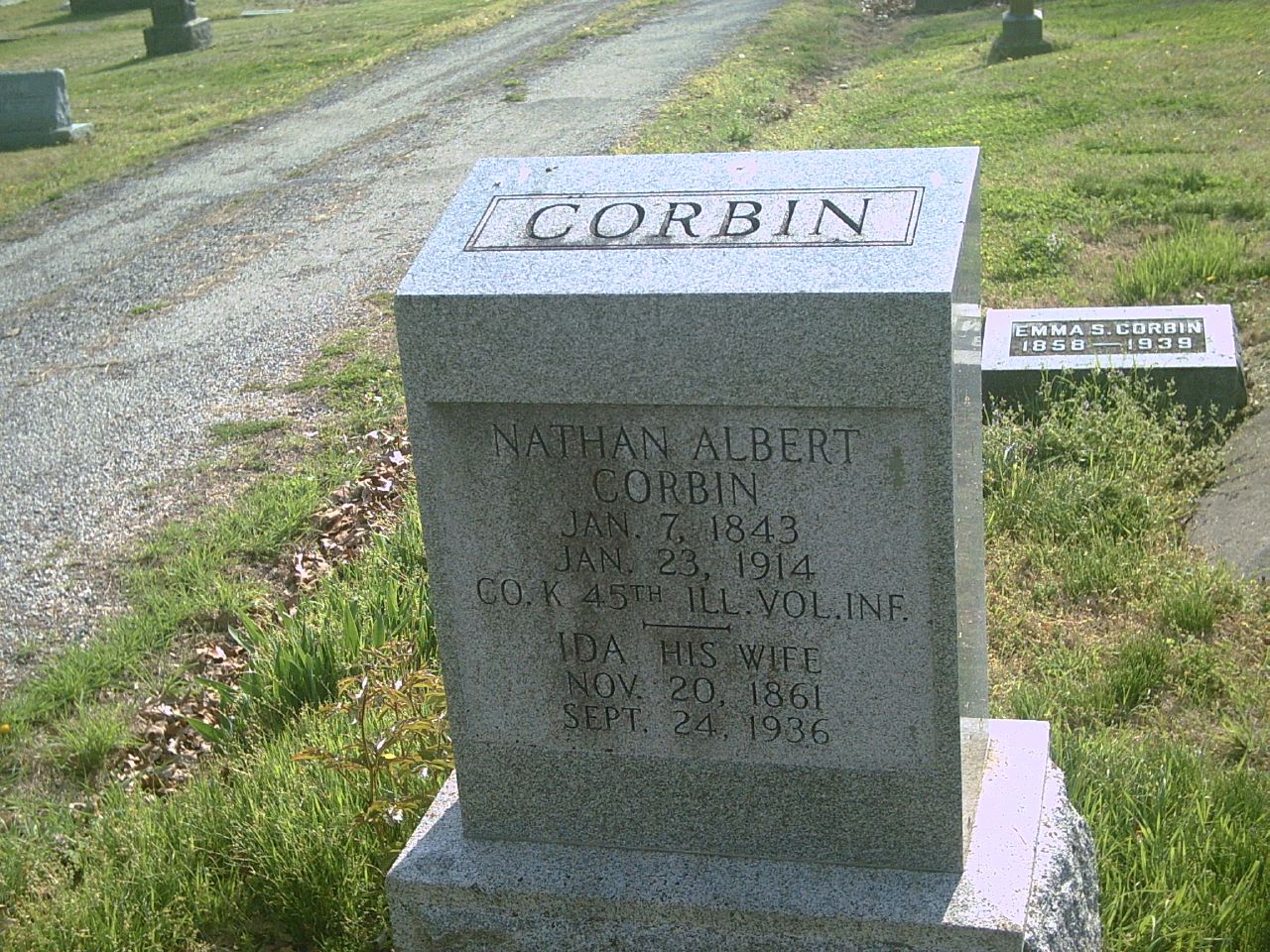
Nathan Albert Corbin

Old Gravestones: a re-edit, with texture added

Old School House - Mound City Historical Park

Battle of Mine Creek Site- Linn County KS (6)

Battle of Mine Creek State Historic Site (Linn County, Kansas)
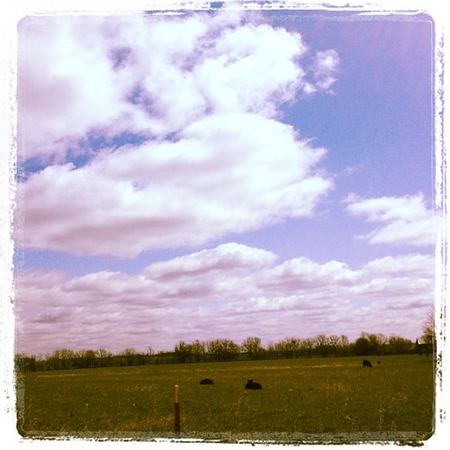
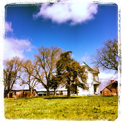
Kansas road trip
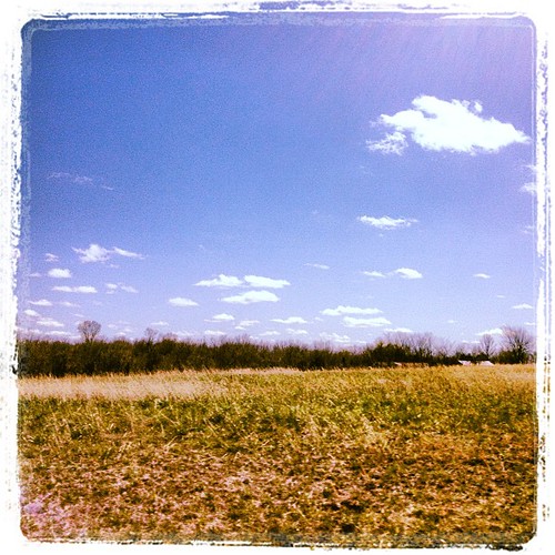
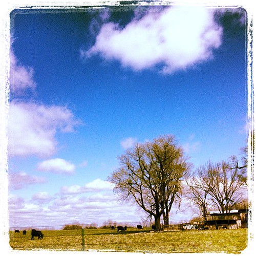
Kansas road trip
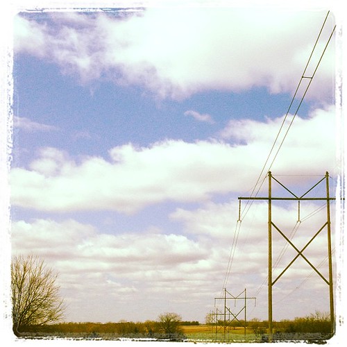
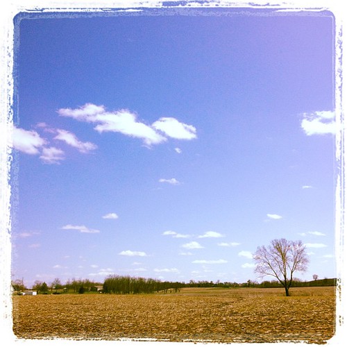
Kansas road trip
Kansas road trip
Kansas road trip
Kansas road trip
Topographic Map of Mound City, KS, USA
Find elevation by address:

Places near Mound City, KS, USA:
Linn County
Sugar Valley & Hidden Valley Lakes
Mound City
Main St, Pleasanton, KS, USA
Pleasanton
E 7th St, Mapleton, KS, USA
Mapleton
Potosi
46 Ne Lakeside Dr
W Cedar St, Fulton, KS, USA
Fulton
Freedom
Timberhill
Main St, Pleasanton, KS, USA
Timber Hills Lake Ranch Cattle Company
Valley
E Main St, Blue Mound, KS, USA
Blue Mound
Scott
Prairie View
Recent Searches:
- Elevation of Power Generation Enterprises | Industrial Diesel Generators, Oak Ave, Canyon Country, CA, USA
- Elevation of Chesaw Rd, Oroville, WA, USA
- Elevation of N, Mt Pleasant, UT, USA
- Elevation of 6 Rue Jules Ferry, Beausoleil, France
- Elevation of Sattva Horizon, 4JC6+G9P, Vinayak Nagar, Kattigenahalli, Bengaluru, Karnataka, India
- Elevation of Great Brook Sports, Gold Star Hwy, Groton, CT, USA
- Elevation of 10 Mountain Laurels Dr, Nashua, NH, USA
- Elevation of 16 Gilboa Ln, Nashua, NH, USA
- Elevation of Laurel Rd, Townsend, TN, USA
- Elevation of 3 Nestling Wood Dr, Long Valley, NJ, USA