Elevation of Potosi, KS, USA
Location: United States > Kansas > Linn County >
Longitude: -94.665702
Latitude: 38.1608765
Elevation: 243m / 797feet
Barometric Pressure: 98KPa
Elevation Map:
Satellite Map:
Related Photos:
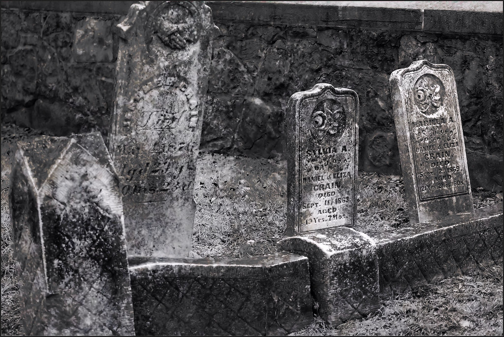
Old Gravestones: a re-edit, with texture added
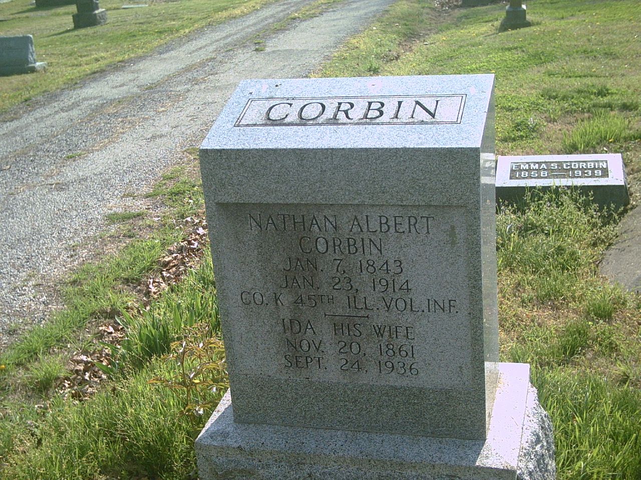
Nathan Albert Corbin
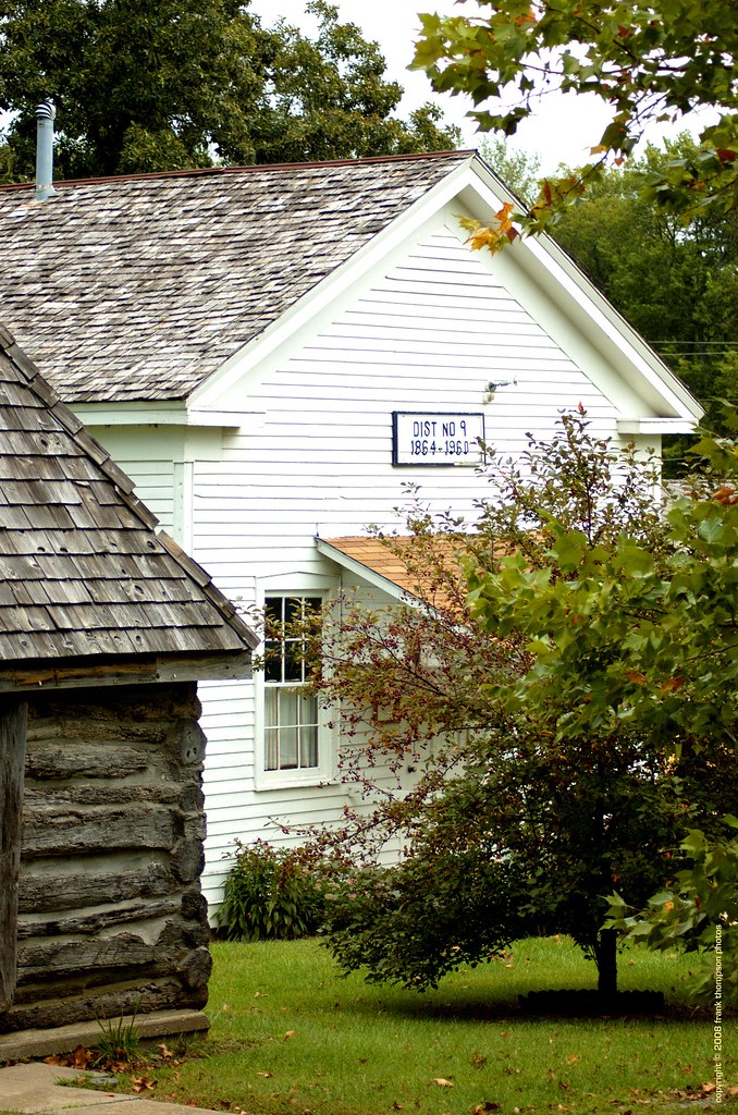
Old School House - Mound City Historical Park

20081101-001251_M42etc_3minutes@20%gain
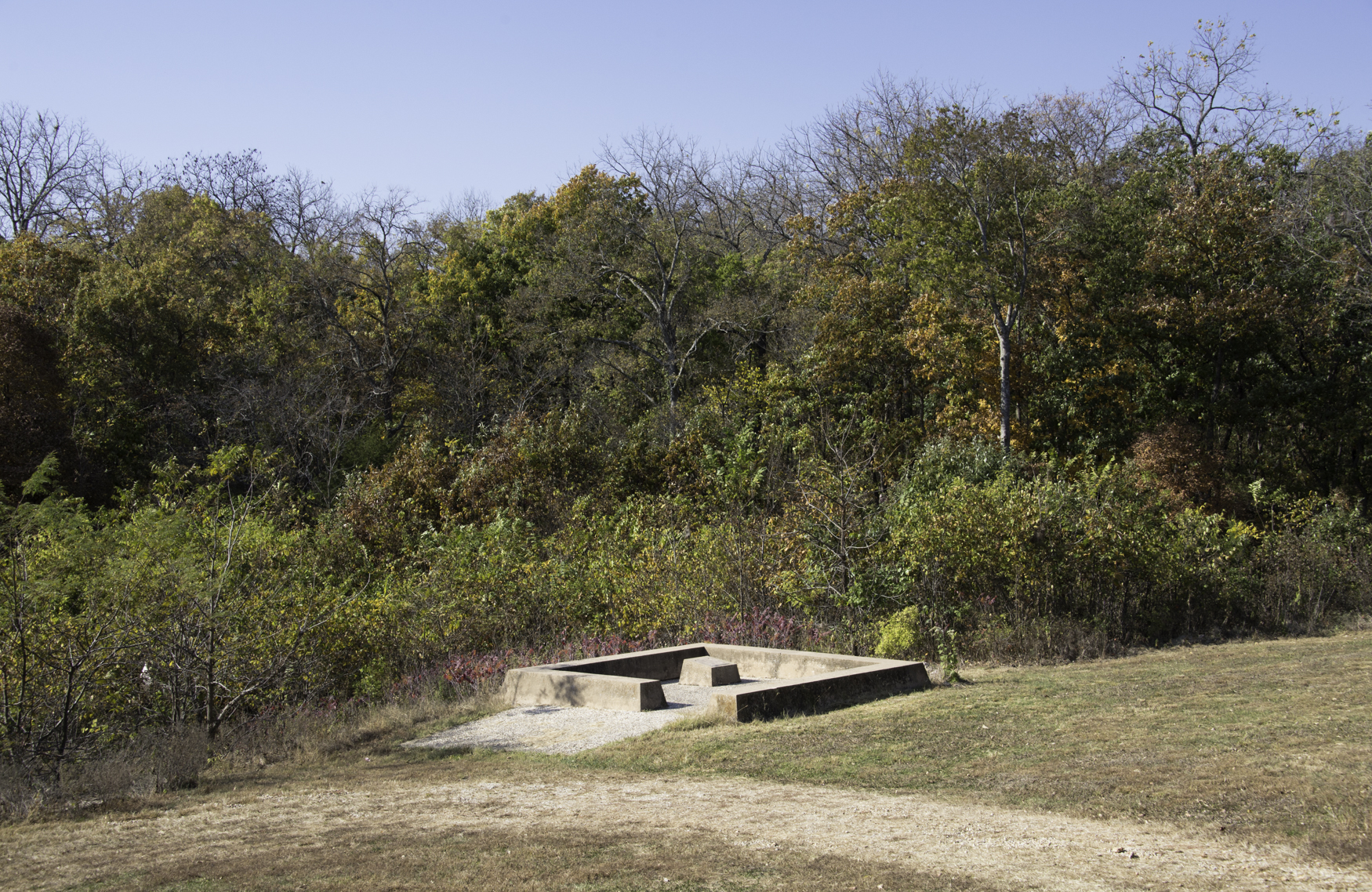
Site of Marais des Cygnes Massacre

Heart of America Star Party 2015
Kansas road trip
Kansas road trip
Kansas road trip
Kansas road trip
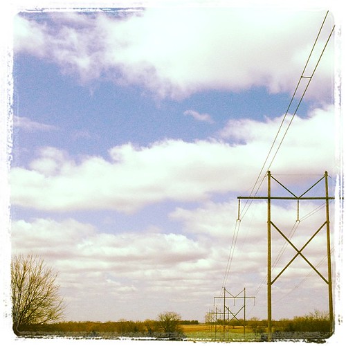
Kansas road trip
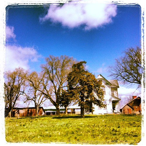
Kansas road trip
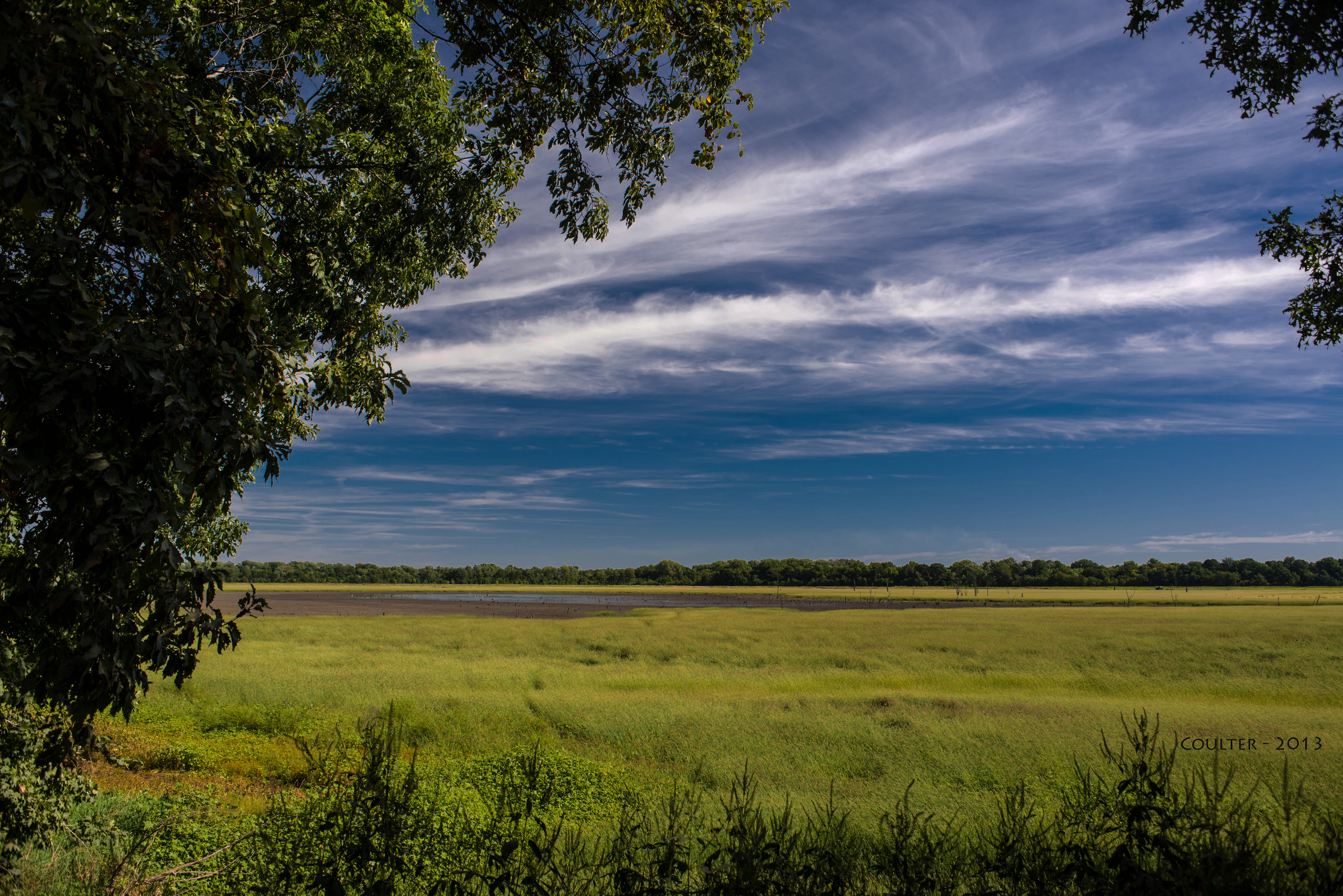
DSC_3738-AG - Marais des Cygnes National Wildlife Refuge and Wildlife Area - Pleasanton, Kansas - Area-G
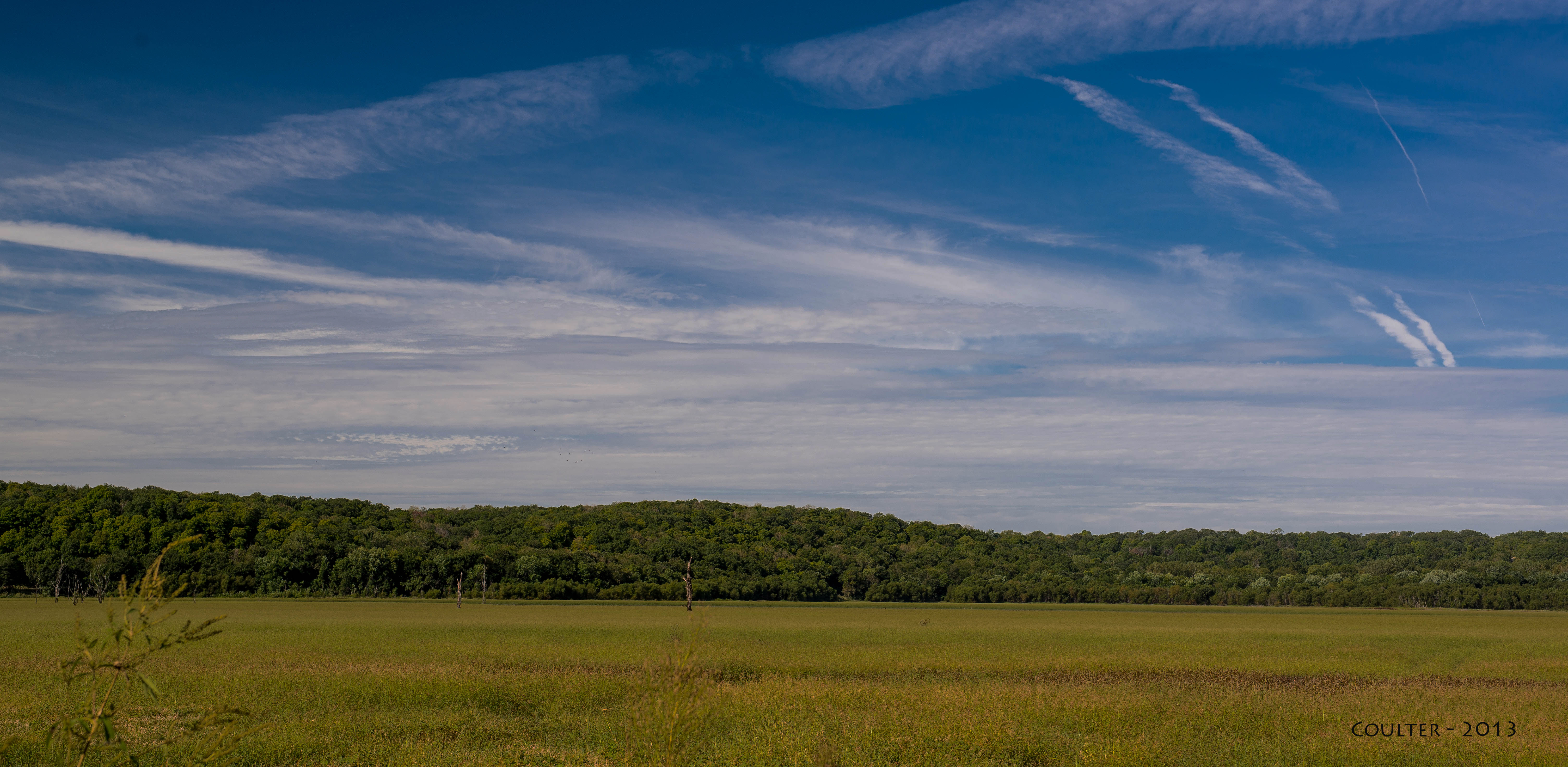
DSC_3704-AG - Marais des Cygnes National Wildlife Refuge and Wildlife Area - Pleasanton, Kansas - Area-G
Battle of Mine Creek Site- Linn County KS (6)
Battle of Mine Creek State Historic Site (Linn County, Kansas)
Battle of Mine Creek State Historic Site (Linn County, Kansas)

The sky is burning
Topographic Map of Potosi, KS, USA
Find elevation by address:

Places in Potosi, KS, USA:
Places near Potosi, KS, USA:
Pleasanton
Main St, Pleasanton, KS, USA
Main St, Pleasanton, KS, USA
Hume
2nd St, Hume, MO, USA
Valley
11336 Sw County Rd 968
Walnut Township
Howard Township
Linn County
Sugar Valley & Hidden Valley Lakes
Mound City
Fulton
W Cedar St, Fulton, KS, USA
Lincoln
Mound City
21574 Taylor Rd
Freedom
46 Ne Lakeside Dr
613 E Market St
Recent Searches:
- Elevation of Gateway Blvd SE, Canton, OH, USA
- Elevation of East W.T. Harris Boulevard, E W.T. Harris Blvd, Charlotte, NC, USA
- Elevation of West Sugar Creek, Charlotte, NC, USA
- Elevation of Wayland, NY, USA
- Elevation of Steadfast Ct, Daphne, AL, USA
- Elevation of Lagasgasan, X+CQH, Tiaong, Quezon, Philippines
- Elevation of Rojo Ct, Atascadero, CA, USA
- Elevation of Flagstaff Drive, Flagstaff Dr, North Carolina, USA
- Elevation of Avery Ln, Lakeland, FL, USA
- Elevation of Woolwine, VA, USA