Elevation of Valley, KS, USA
Location: United States > Kansas > Linn County >
Longitude: -94.676039
Latitude: 38.2763205
Elevation: 245m / 804feet
Barometric Pressure: 98KPa
Elevation Map:
Satellite Map:
Related Photos:
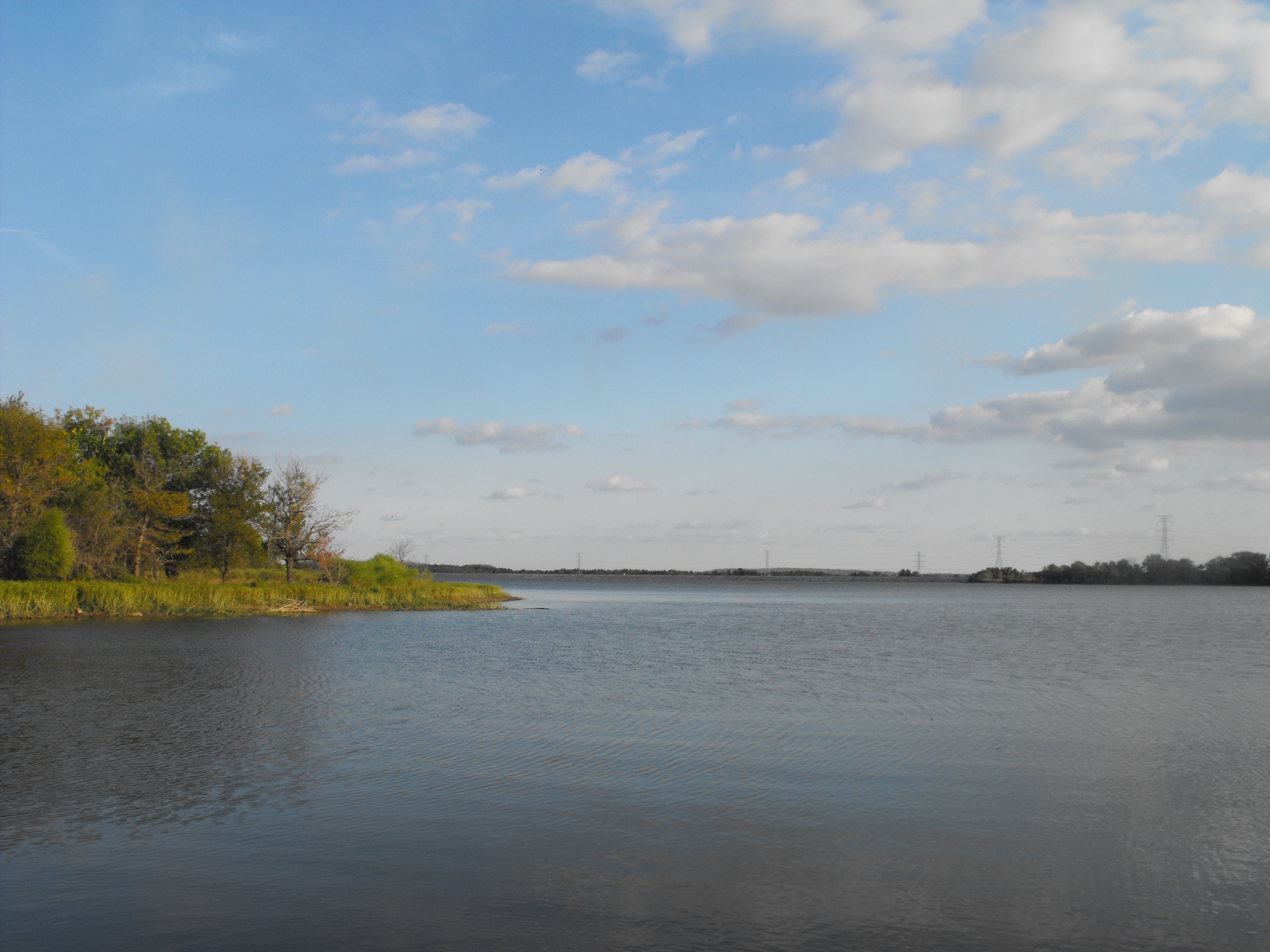
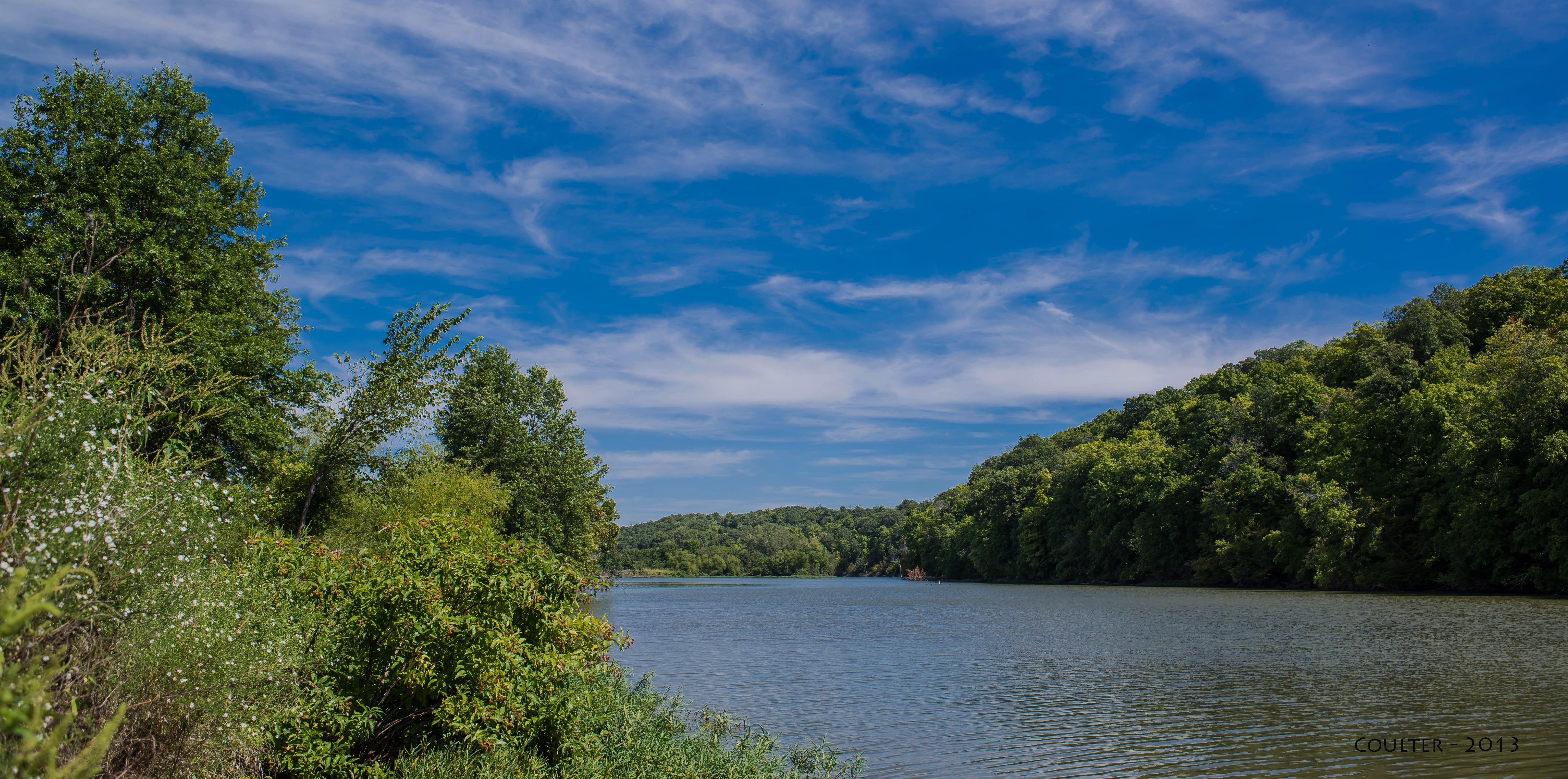
La Cygne Lake
Site of Marais des Cygnes Massacre

Heart of America Star Party 2015
Kansas road trip
Kansas road trip
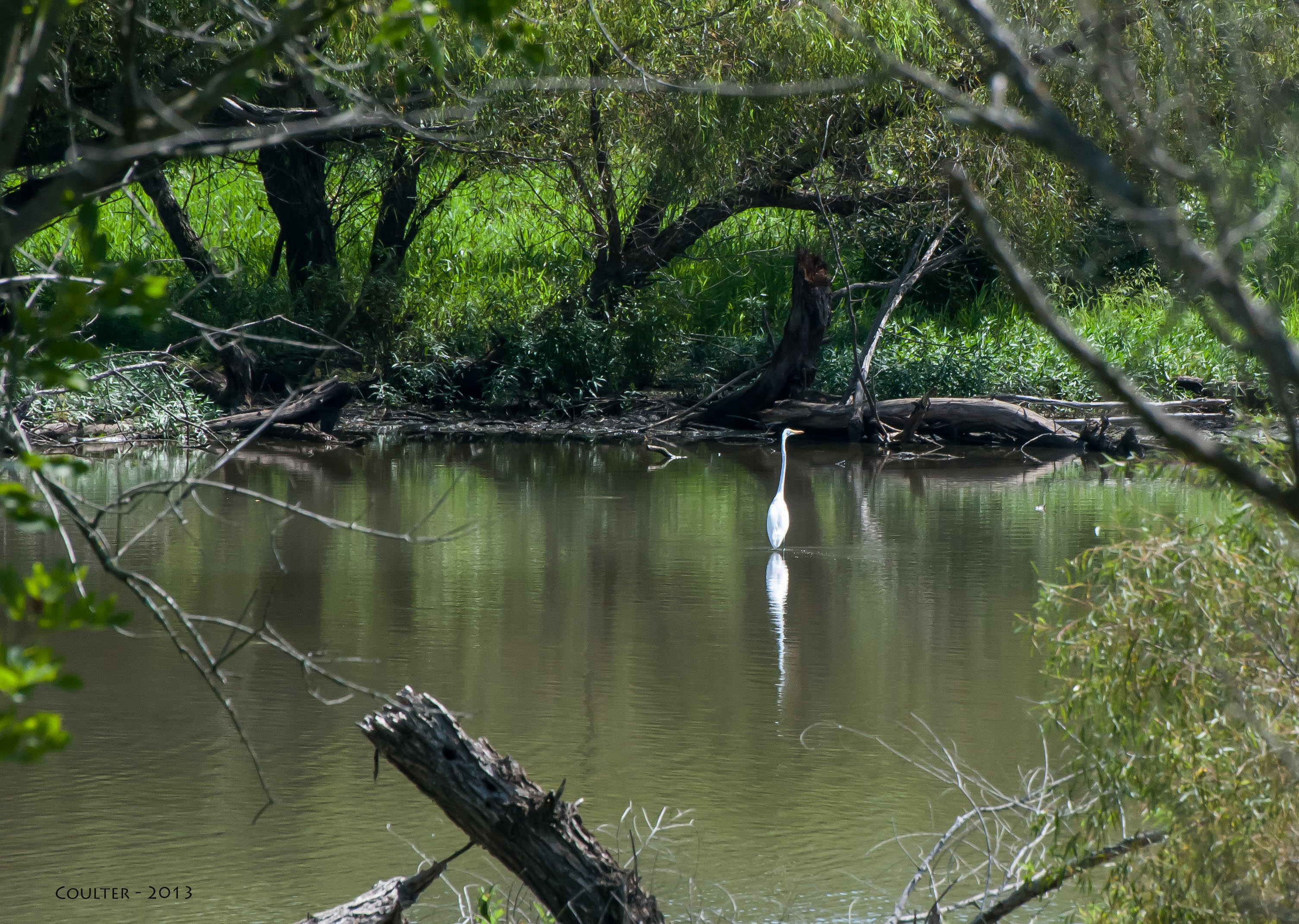
DSC_3738-AG - Marais des Cygnes National Wildlife Refuge and Wildlife Area - Pleasanton, Kansas - Area-G

The sky is burning
DSC_0367-AG - La Cygne Lake - La Cygne, Kansas
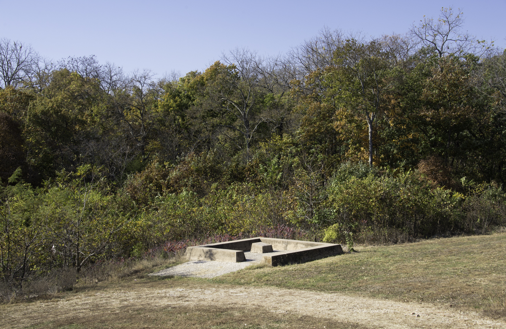
Battle of Mine Creek Site- Linn County KS (6)
Battle of Mine Creek State Historic Site (Linn County, Kansas)
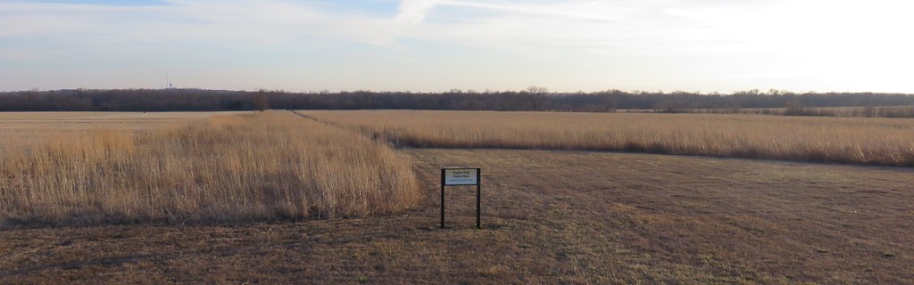
Battle of Mine Creek State Historic Site (Linn County, Kansas)
DSC_3764-AG - La Cygne Lake - La Cygne, Kansas
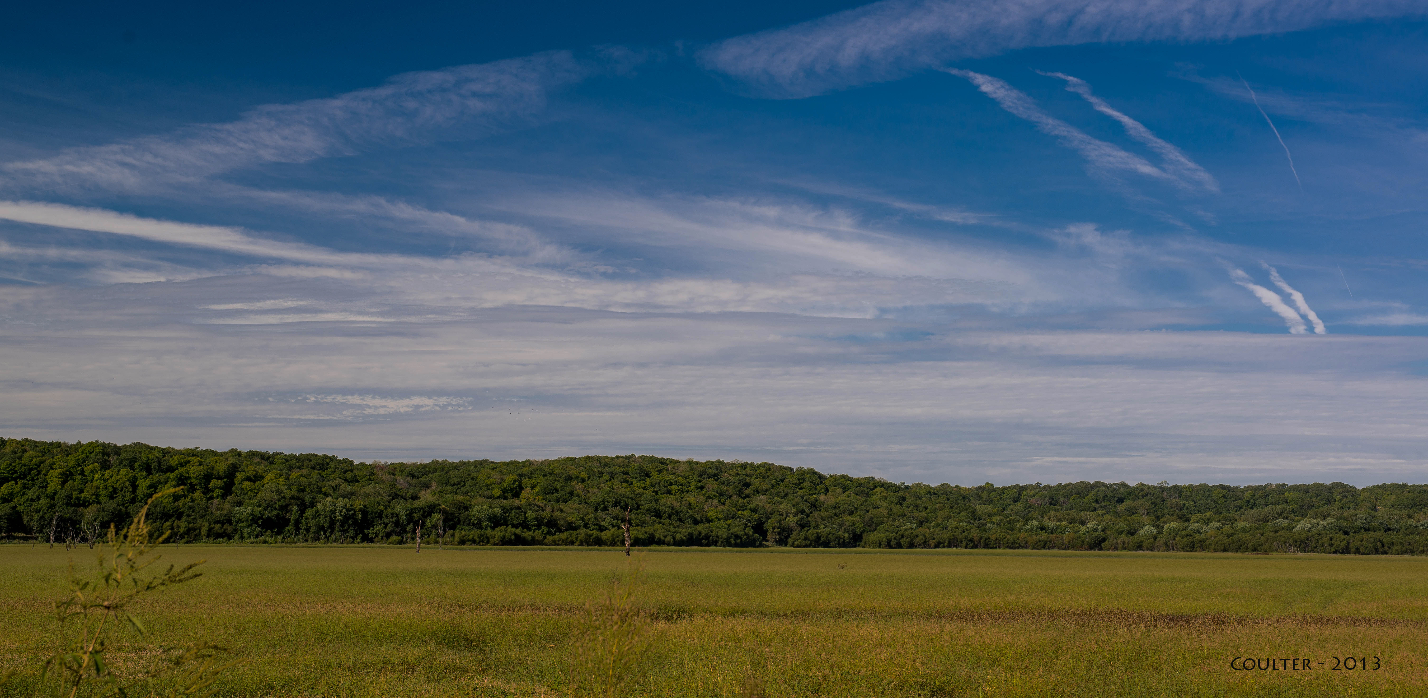
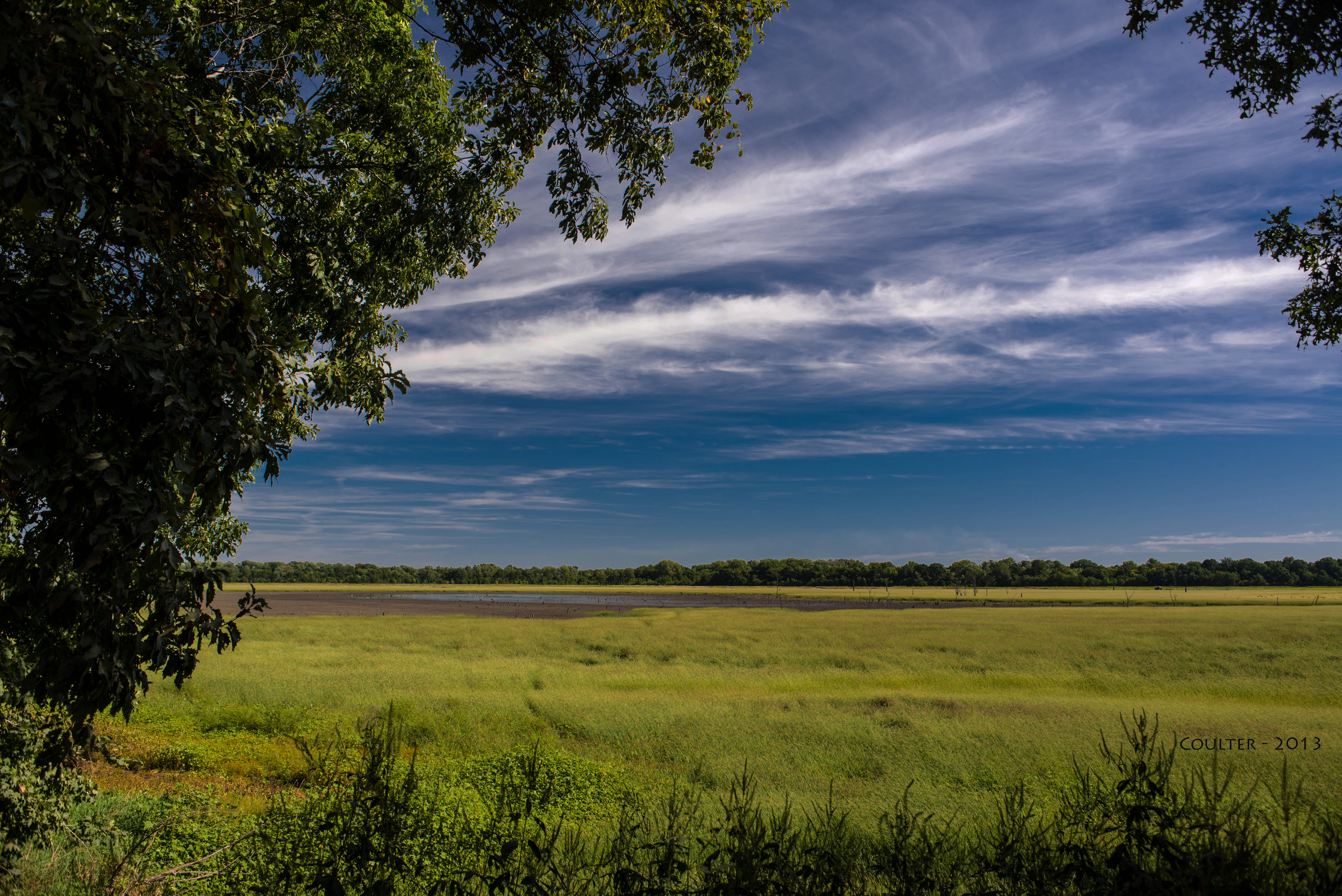
DSC_3704-AG - Marais des Cygnes National Wildlife Refuge and Wildlife Area - Pleasanton, Kansas - Area-G
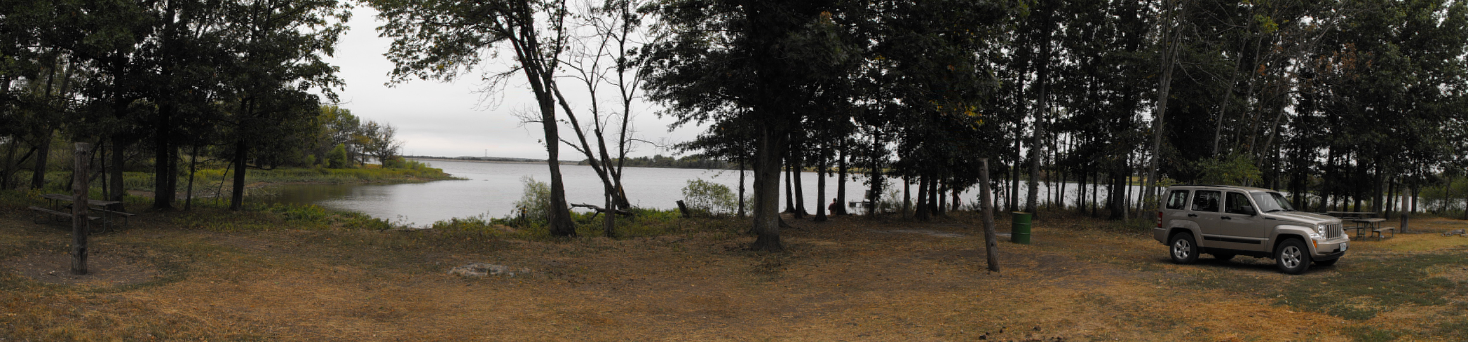
Fishing hole panorama
Sunlight in the Grass

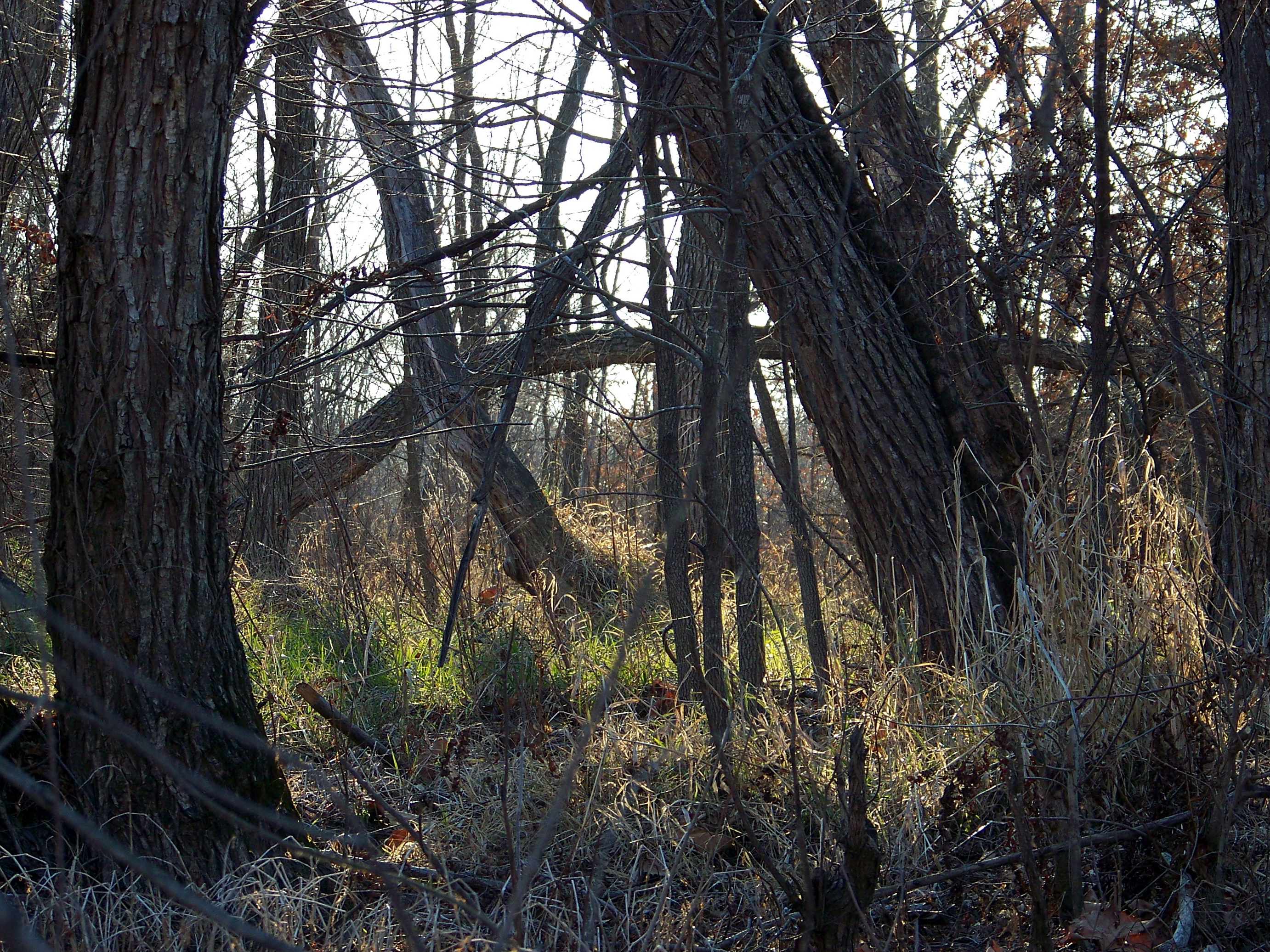
Through the Trees

Crepuscular rays at sunset

La Cygnes Lake
Topographic Map of Valley, KS, USA
Find elevation by address:

Places in Valley, KS, USA:
Places near Valley, KS, USA:
Main St, Pleasanton, KS, USA
Lincoln
21574 Taylor Rd
Pleasanton
Main St, Pleasanton, KS, USA
Linn Valley
Robertson Rd, Lacygne, KS, USA
613 E Market St
Lacygne
Potosi
11336 Sw County Rd 968
46 Ne Lakeside Dr
70 3rd St, Amsterdam, MO, USA
Merwin
Walnut Township
Scott
Prairie View
Mound City
Linn County
West Boone Township
Recent Searches:
- Elevation of Groblershoop, South Africa
- Elevation of Power Generation Enterprises | Industrial Diesel Generators, Oak Ave, Canyon Country, CA, USA
- Elevation of Chesaw Rd, Oroville, WA, USA
- Elevation of N, Mt Pleasant, UT, USA
- Elevation of 6 Rue Jules Ferry, Beausoleil, France
- Elevation of Sattva Horizon, 4JC6+G9P, Vinayak Nagar, Kattigenahalli, Bengaluru, Karnataka, India
- Elevation of Great Brook Sports, Gold Star Hwy, Groton, CT, USA
- Elevation of 10 Mountain Laurels Dr, Nashua, NH, USA
- Elevation of 16 Gilboa Ln, Nashua, NH, USA
- Elevation of Laurel Rd, Townsend, TN, USA