Elevation of Freedom, KS, USA
Location: United States > Kansas > Bourbon County >
Longitude: -94.748451
Latitude: 37.9887002
Elevation: 261m / 856feet
Barometric Pressure: 98KPa
Elevation Map:
Satellite Map:
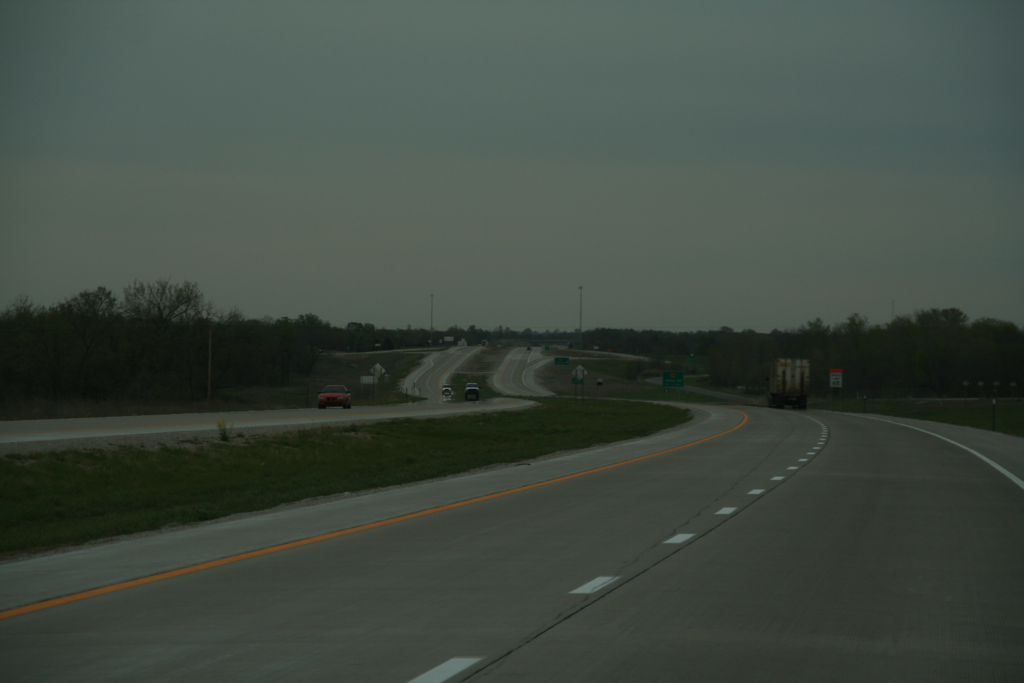
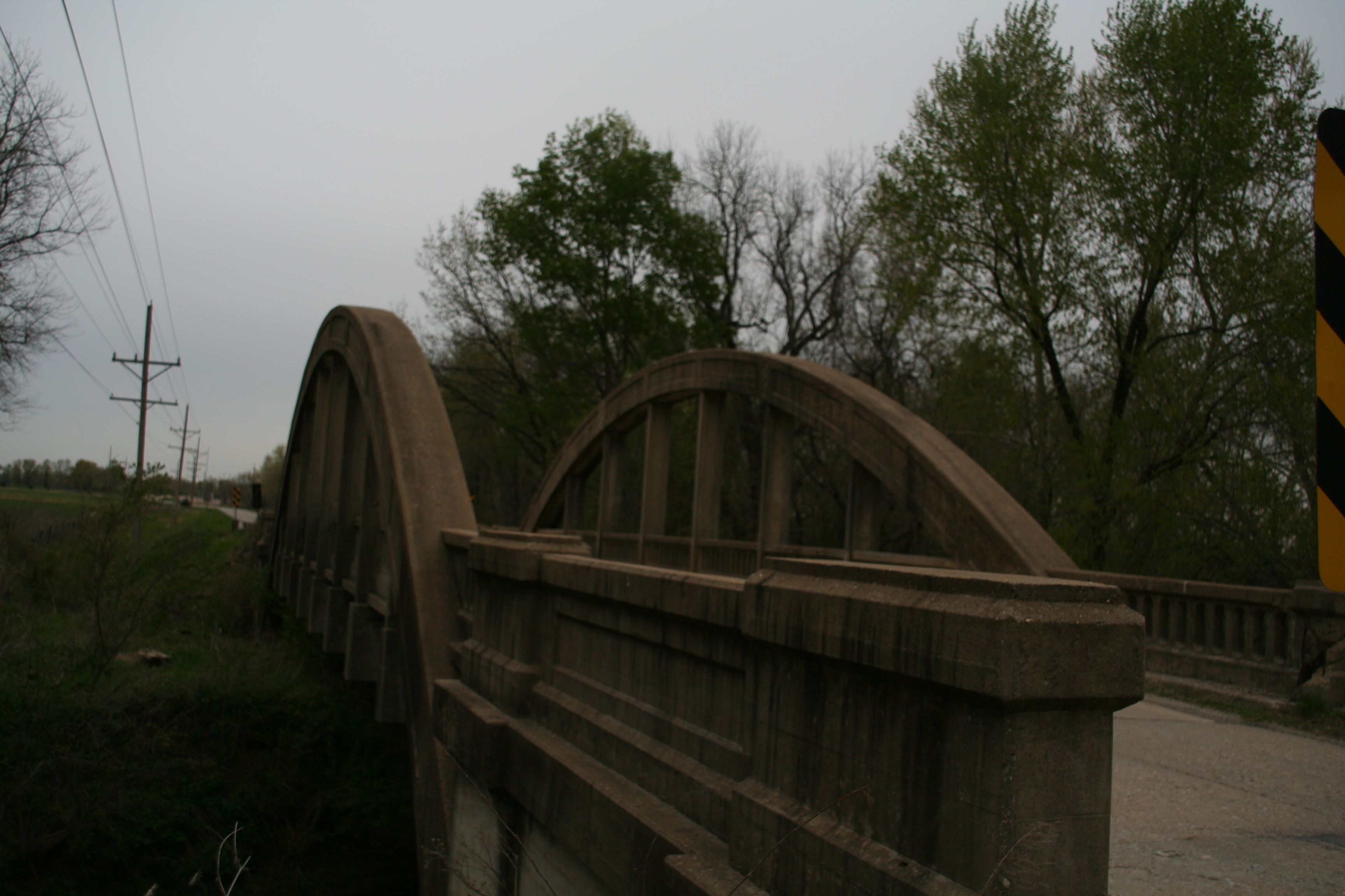
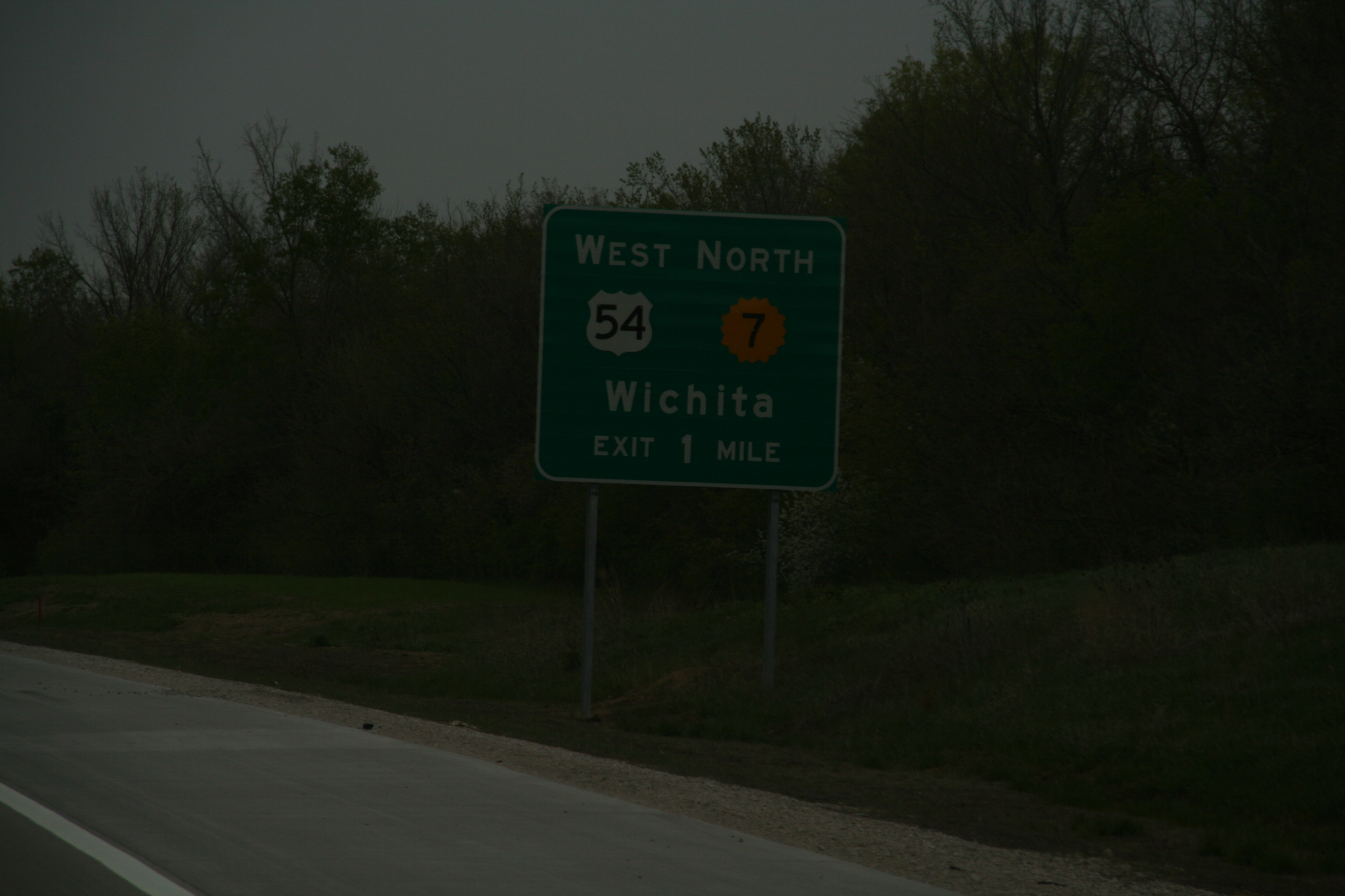
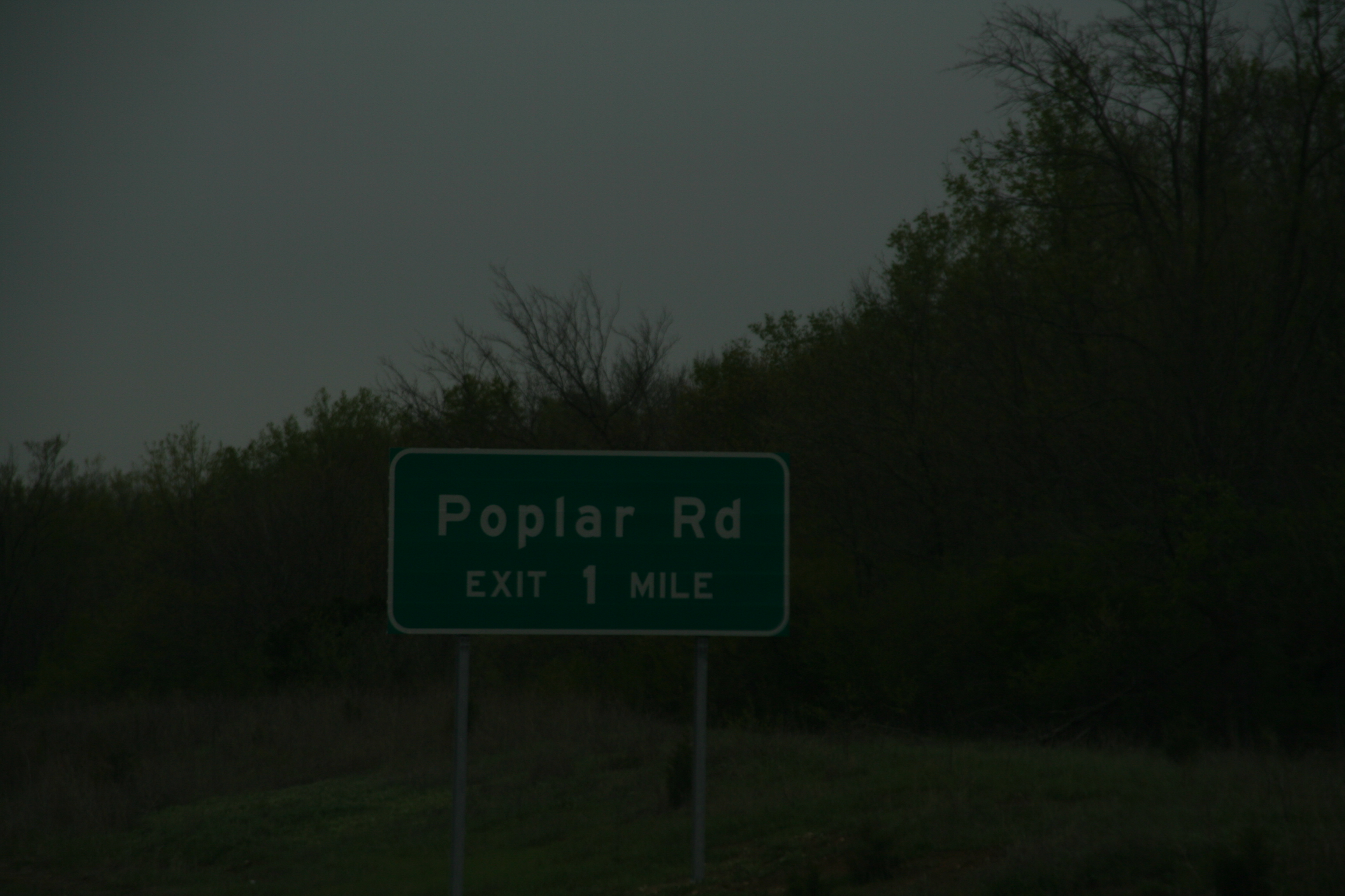
Related Photos:

30033

30048
30034

30041

“Life is partly what we make it, and partly what it is made by the friends we choose.” Tennessee Williams

15831

15830

15829

15828

15827
30058
30045
30044
30043
30042
30040
30039
30038
30036
30035
30032

35593
Topographic Map of Freedom, KS, USA
Find elevation by address:

Places in Freedom, KS, USA:
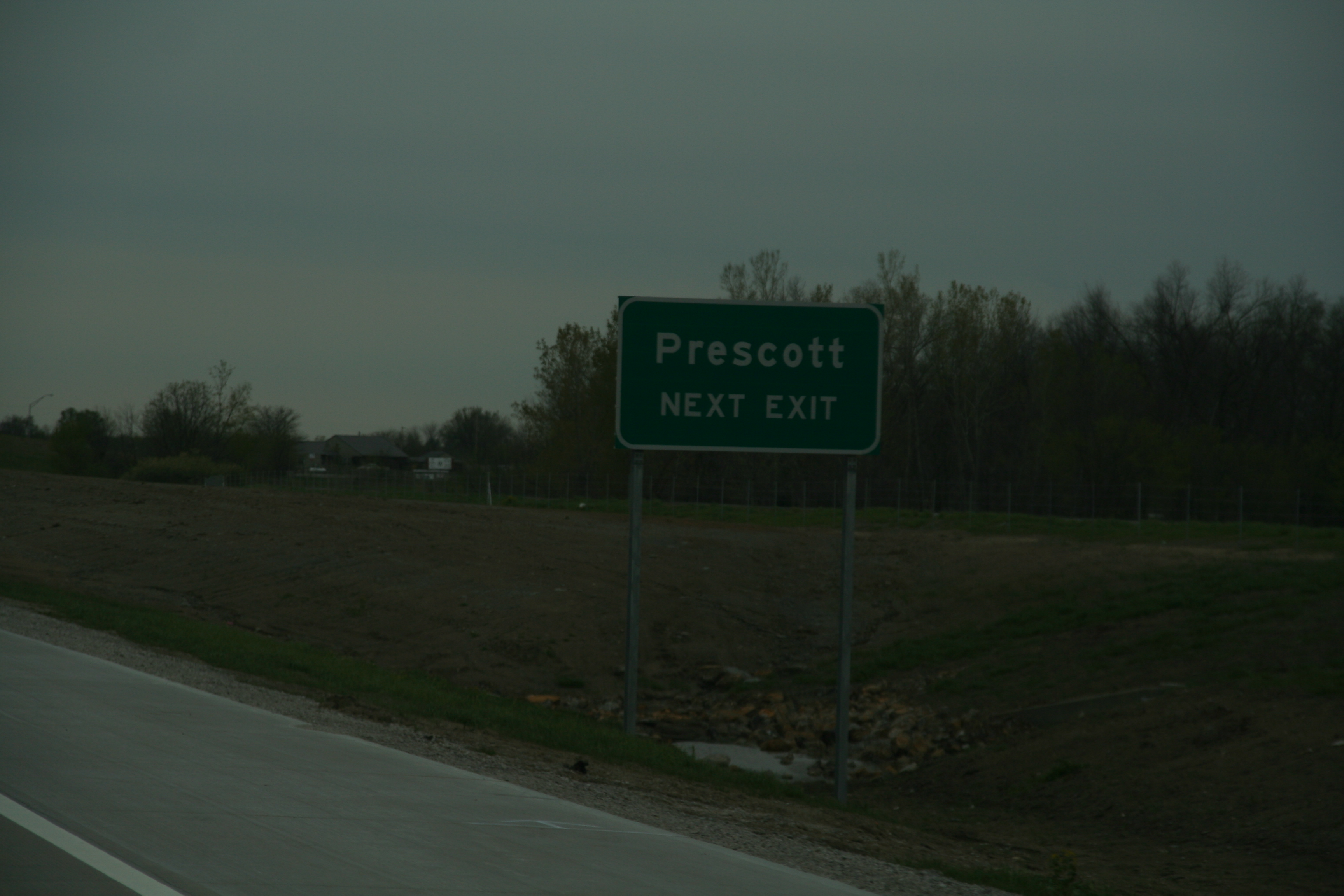
Places near Freedom, KS, USA:
W Cedar St, Fulton, KS, USA
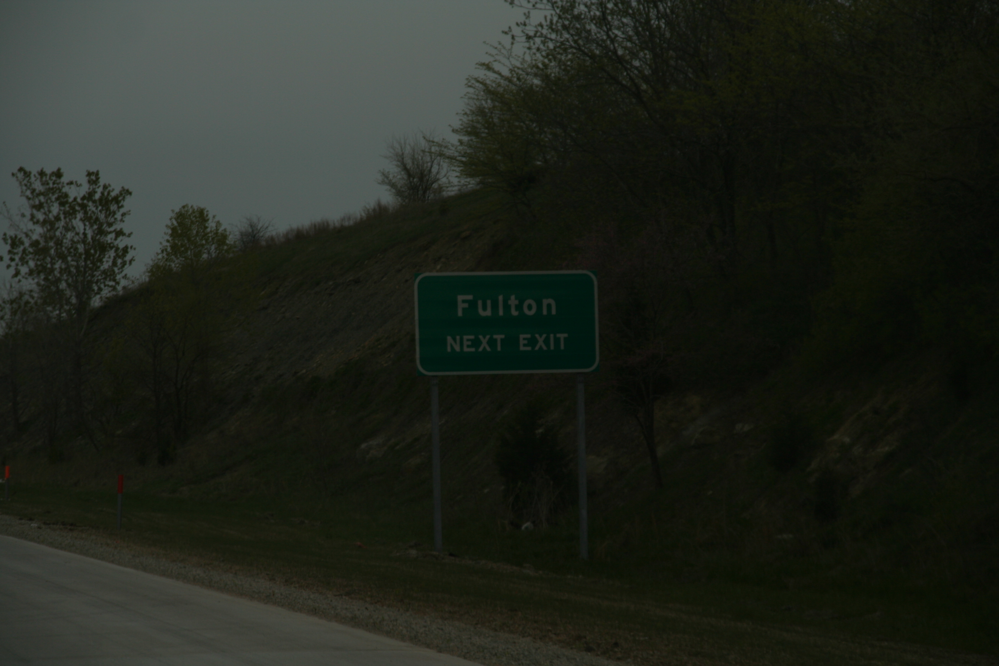
Fulton
Timber Hills Lake Ranch Cattle Company
Timberhill
E 7th St, Mapleton, KS, USA
Mapleton
Mound City
Sugar Valley & Hidden Valley Lakes
Linn County
Mound City
Potosi
Main St, Pleasanton, KS, USA
Pleasanton
2nd St, Hume, MO, USA
Hume
Howard Township
Franklin
Main St, Pleasanton, KS, USA
Walnut Township
Blue Mound
Recent Searches:
- Elevation of Leguwa, Nepal
- Elevation of County Rd, Enterprise, AL, USA
- Elevation of Kolchuginsky District, Vladimir Oblast, Russia
- Elevation of Shustino, Vladimir Oblast, Russia
- Elevation of Lampiasi St, Sarasota, FL, USA
- Elevation of Elwyn Dr, Roanoke Rapids, NC, USA
- Elevation of Congressional Dr, Stevensville, MD, USA
- Elevation of Bellview Rd, McLean, VA, USA
- Elevation of Stage Island Rd, Chatham, MA, USA
- Elevation of Shibuya Scramble Crossing, 21 Udagawacho, Shibuya City, Tokyo -, Japan