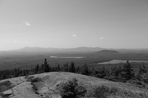
Elevation of Moro, ME, USA
Location: United States > Maine > Aroostook County >
Longitude: -68.355528
Latitude: 46.171291
Elevation: 286m / 938feet
Barometric Pressure: 98KPa
Related Photos:
Topographic Map of Moro, ME, USA
Find elevation by address:

Places in Moro, ME, USA:
Places near Moro, ME, USA:
ME-11, Smyrna Mills, ME, USA
Hersey
Island Falls
Rebel Hill Road
US-2, Dyer Brook, ME, USA
Dyer Brook
Route 11
Smyrna Mills
Patten
Mill Street
7 Houlton St
Walker Settlement Rd, Island Falls, ME, USA
Crystal
Central Aroostook
Smyrna
Currie Rd, Smyrna Mills, ME, USA
Cadbury Lane
Ridge Rd, Oakfield, ME, USA
Sherman Station Rd, Stacyville, ME, USA
6 Church St
Recent Searches:
- Elevation of Corso Fratelli Cairoli, 35, Macerata MC, Italy
- Elevation of Tallevast Rd, Sarasota, FL, USA
- Elevation of 4th St E, Sonoma, CA, USA
- Elevation of Black Hollow Rd, Pennsdale, PA, USA
- Elevation of Oakland Ave, Williamsport, PA, USA
- Elevation of Pedrógão Grande, Portugal
- Elevation of Klee Dr, Martinsburg, WV, USA
- Elevation of Via Roma, Pieranica CR, Italy
- Elevation of Tavkvetili Mountain, Georgia
- Elevation of Hartfords Bluff Cir, Mt Pleasant, SC, USA


