Elevation of Central Aroostook, ME, USA
Location: United States > Maine > Aroostook County >
Longitude: -68.229653
Latitude: 46.3670353
Elevation: 238m / 781feet
Barometric Pressure: 98KPa
Elevation Map:
Satellite Map:
Related Photos:

Number 9 Lake

Winter sun setting on another beautiful day in Maine. We'll be up at 5am to see if coyotes have been back.
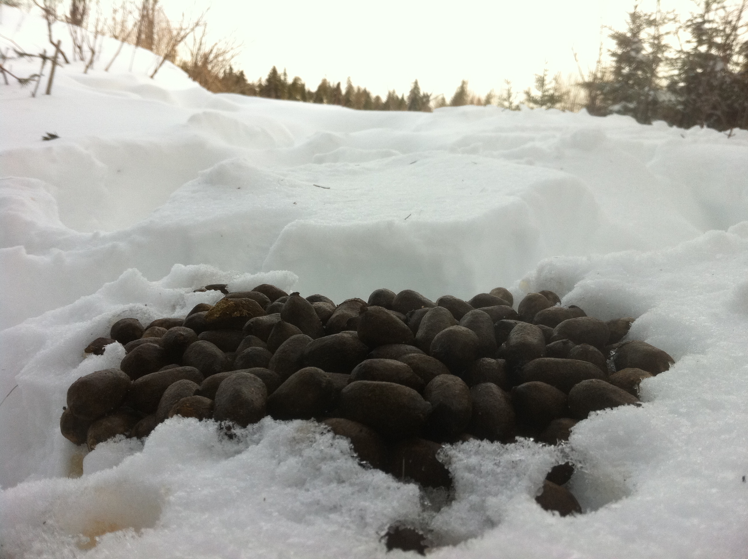
Found plenty of fresh moose poo but only a fleeting glimpse of the poo maker.
Topographic Map of Central Aroostook, ME, USA
Find elevation by address:

Places in Central Aroostook, ME, USA:
Places near Central Aroostook, ME, USA:
Smyrna
Rebel Hill Road
Moro
Smyrna Mills
ME-11, Smyrna Mills, ME, USA
Cadbury Lane
Currie Rd, Smyrna Mills, ME, USA
Ridge Rd, Oakfield, ME, USA
Dyer Brook
US-2, Dyer Brook, ME, USA
Hemore Road
1599 Ludlow Rd
1599 Ludlow Rd
W Rd, Monticello, ME, USA
Houlton, ME, USA
Walker Settlement Rd, Island Falls, ME, USA
Ludlow
Town Of Hammond
Hersey
Island Falls
Recent Searches:
- Elevation of 4 Vale Rd, Sheffield S3 9QX, UK
- Elevation of Keene Point Drive, Keene Point Dr, Grant, AL, USA
- Elevation of State St, Zanesville, OH, USA
- Elevation of Austin Stone Dr, Haslet, TX, USA
- Elevation of Bydgoszcz, Poland
- Elevation of Bydgoszcz, Poland
- Elevation of Calais Dr, Del Mar, CA, USA
- Elevation of Placer Mine Ln, West Jordan, UT, USA
- Elevation of E 63rd St, New York, NY, USA
- Elevation of Elk City, OK, USA