Elevation of Walker Settlement Rd, Island Falls, ME, USA
Location: United States > Maine > Aroostook County > Island Falls >
Longitude: -68.211206
Latitude: 46.0320776
Elevation: 185m / 607feet
Barometric Pressure: 99KPa
Elevation Map:
Satellite Map:
Related Photos:
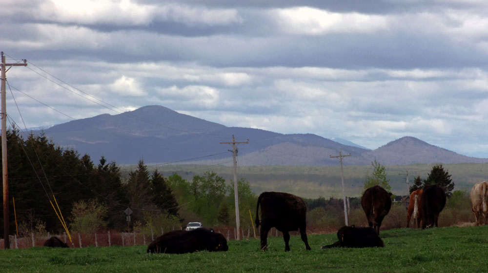
Happy Cows With A Maine View.
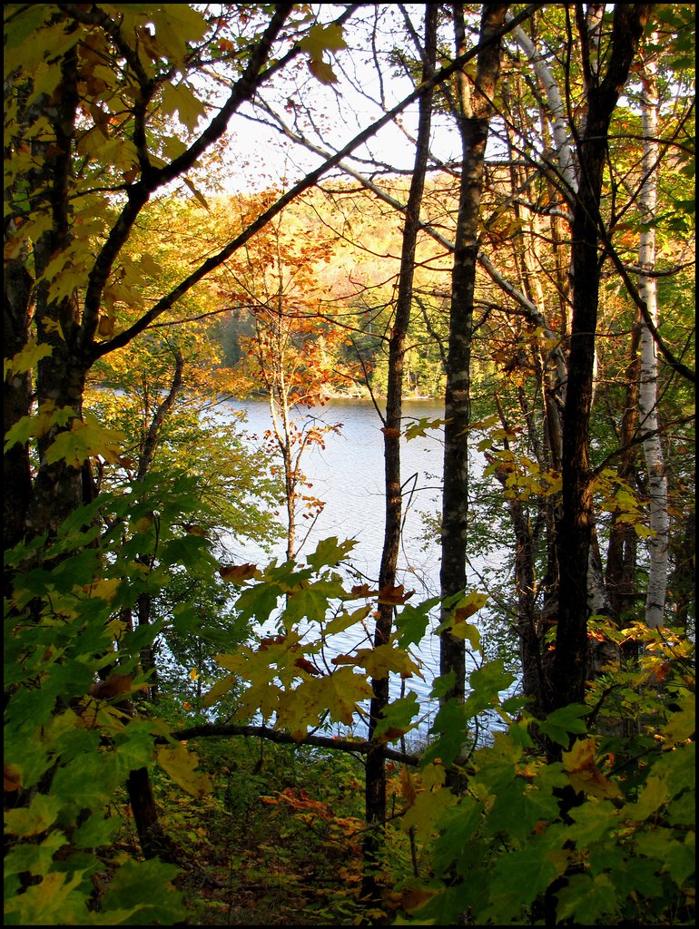
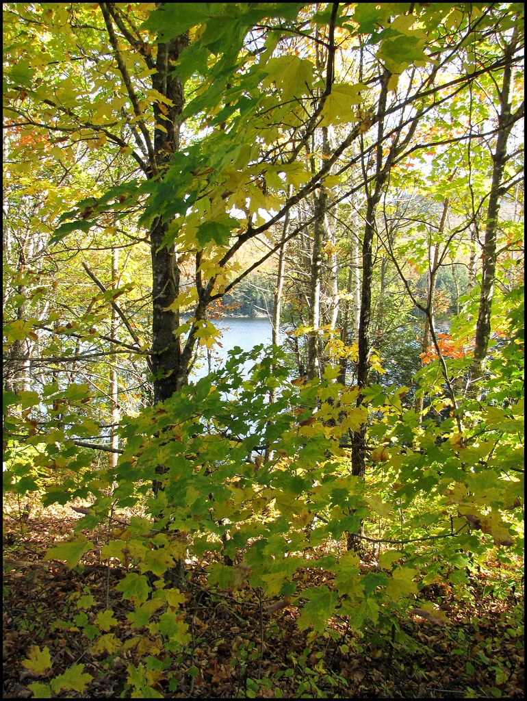
2011 October 8 - Autumn in Northern Maine. I took these photos while out on an afternoon walk.
2011 October 8 - Autumn in Northern Maine. I took these photos while out on an afternoon walk.
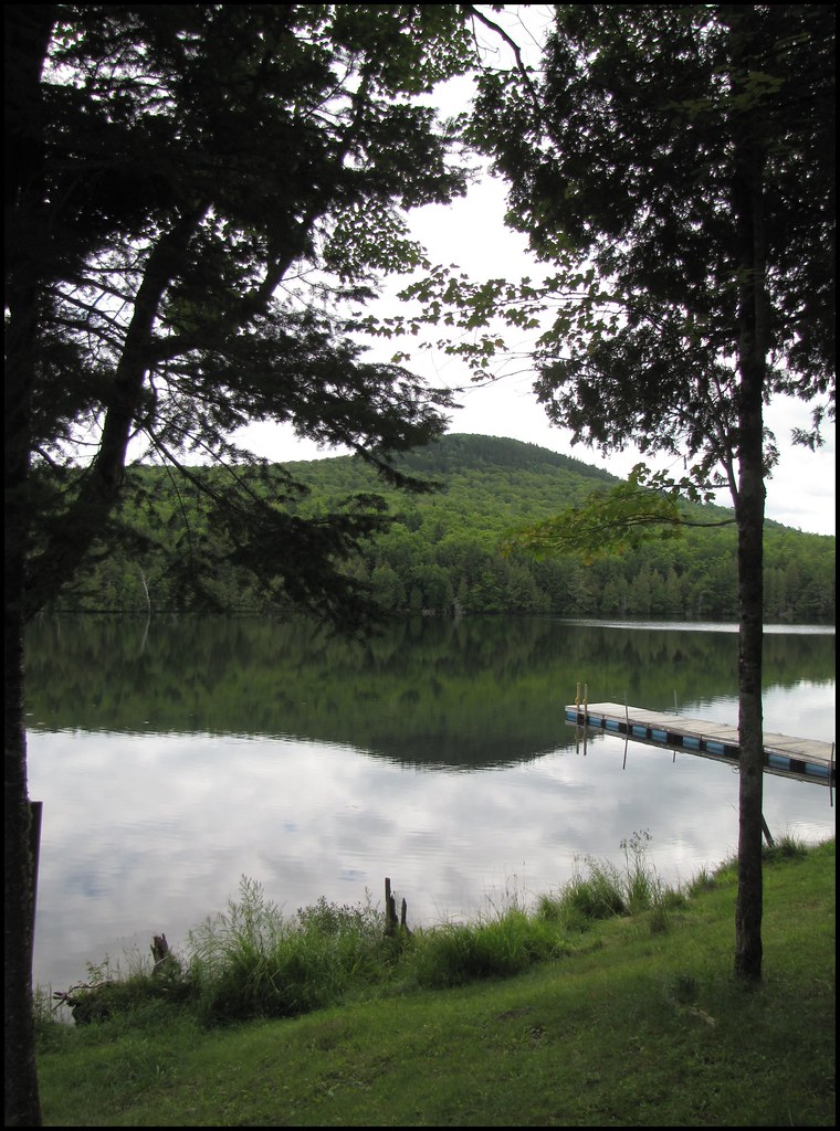
2011 August 5 - Timoney Lake in Oakfield, Maine
2011 October 8 - Autumn in Northern Maine. I took these photos while out on an afternoon walk.
2011 October 8 - Autumn in Northern Maine. I took these photos while out on an afternoon walk.
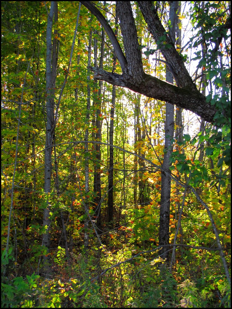
2011 October 8 - Autumn in Northern Maine. I took these photos while out on an afternoon walk.
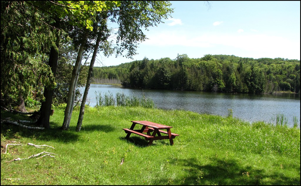
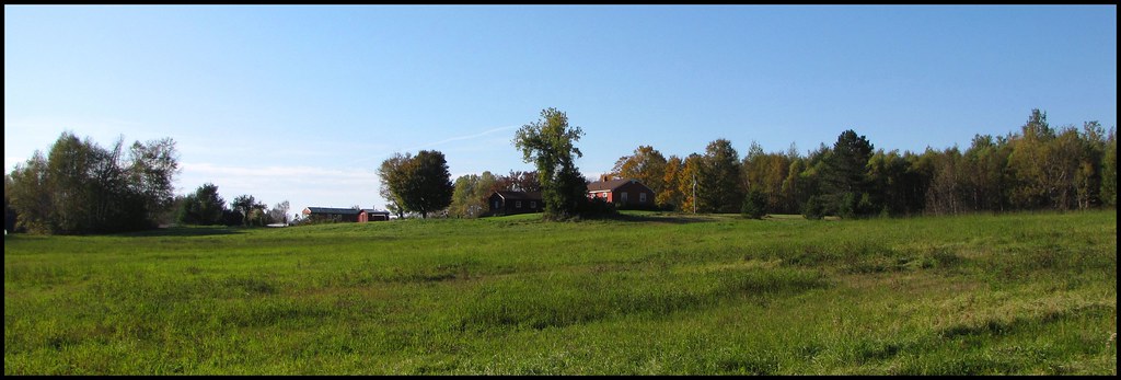
2011 August 5 - A picnic just waiting to happen on the shores of Timoney Lake in Oakfield, Maine
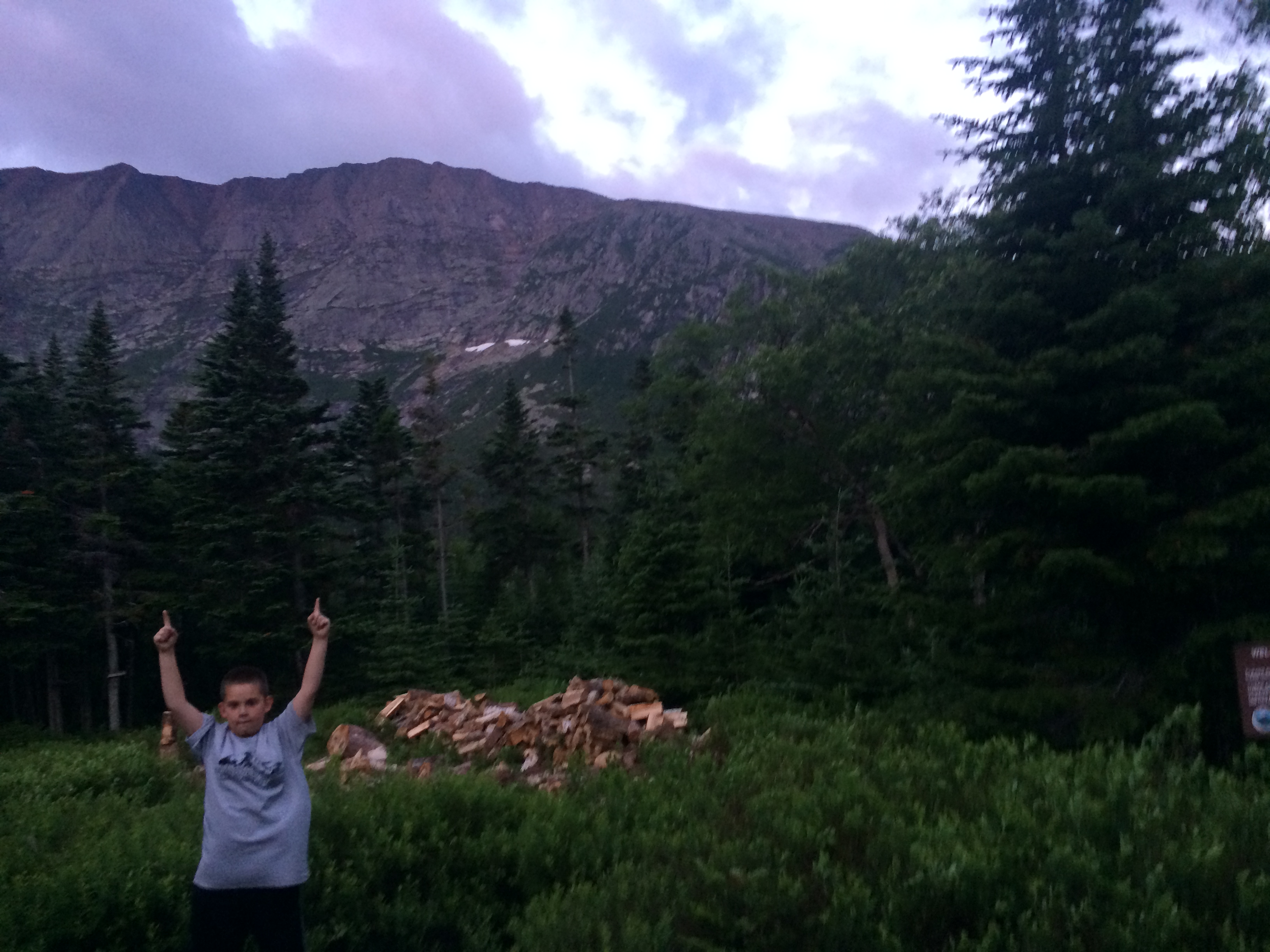
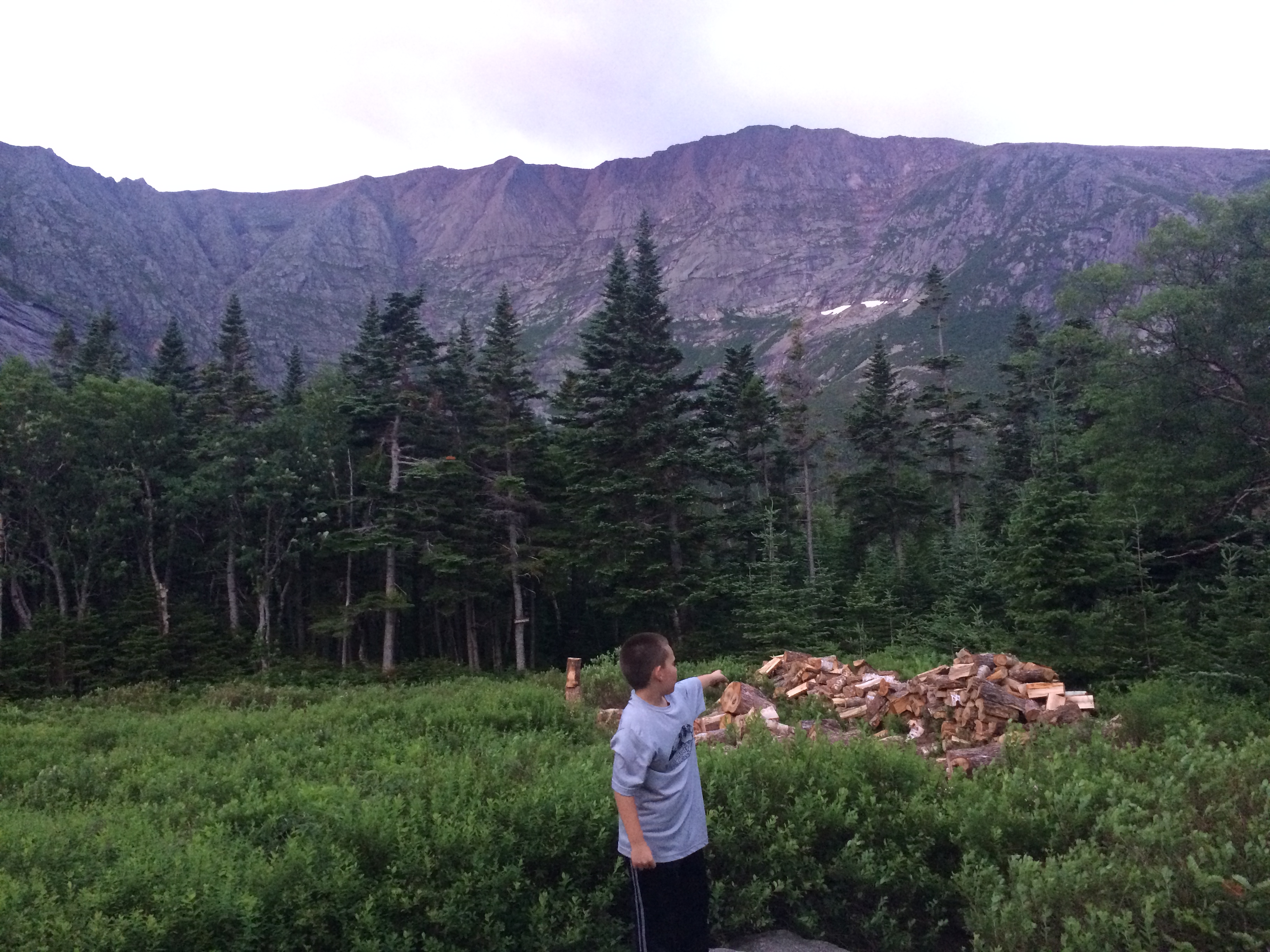
2014-07-06 04.46.36
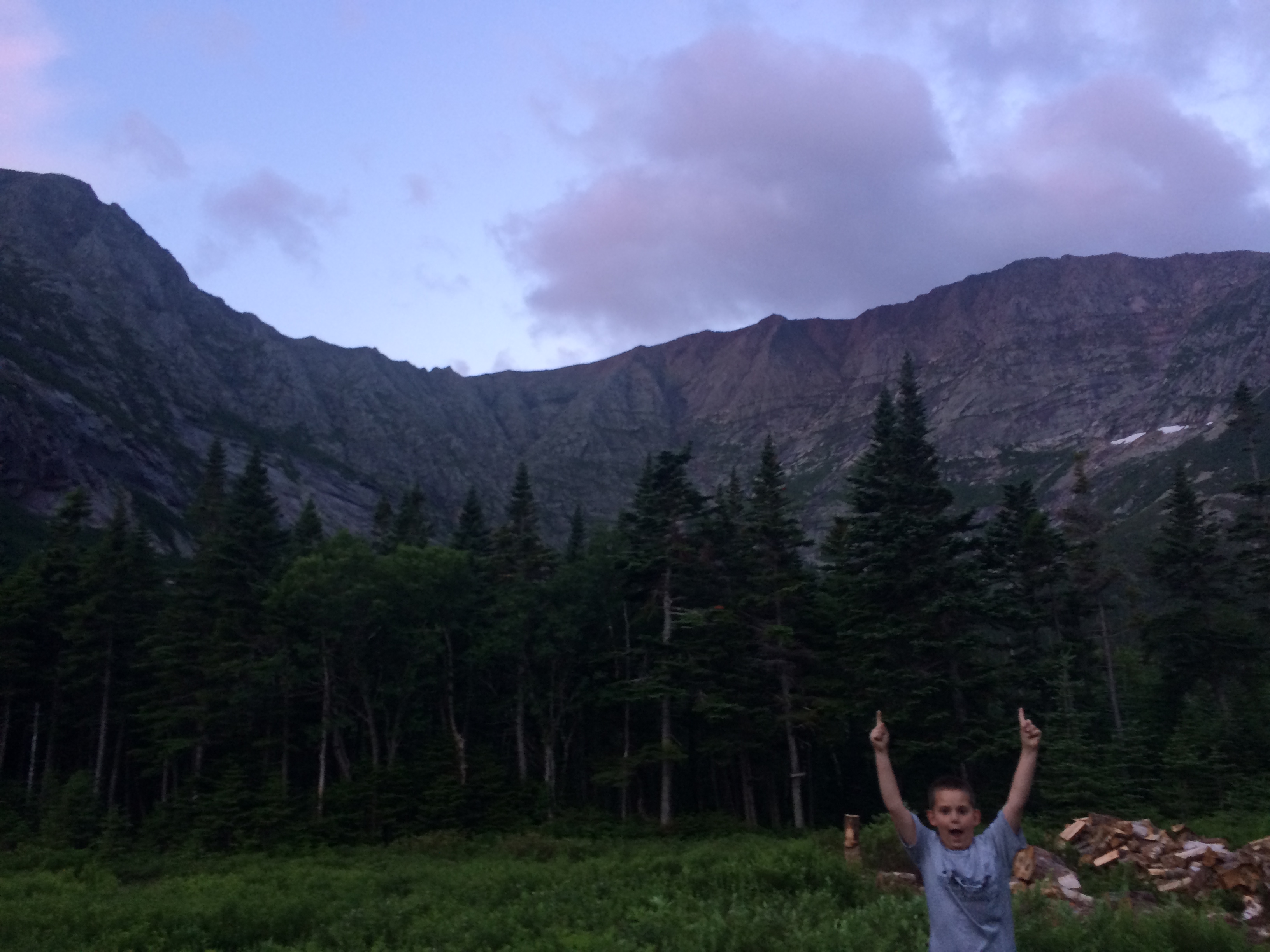
2014-07-06 04.46.31

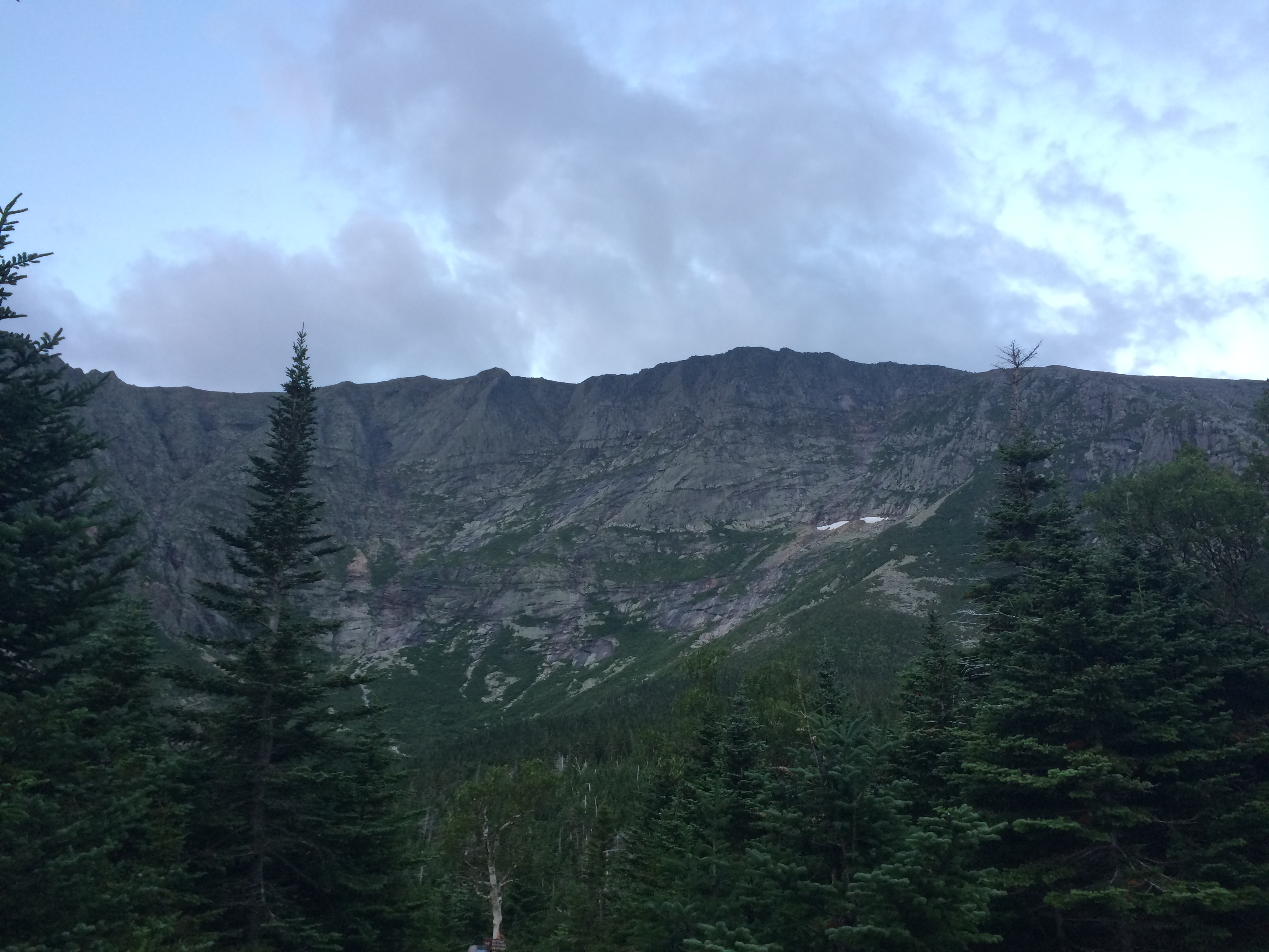
2014-07-06 04.46.43
2014-07-06 04.49.31
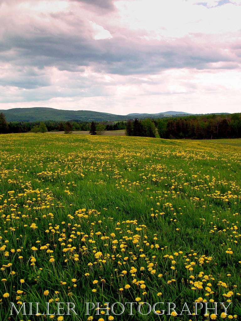
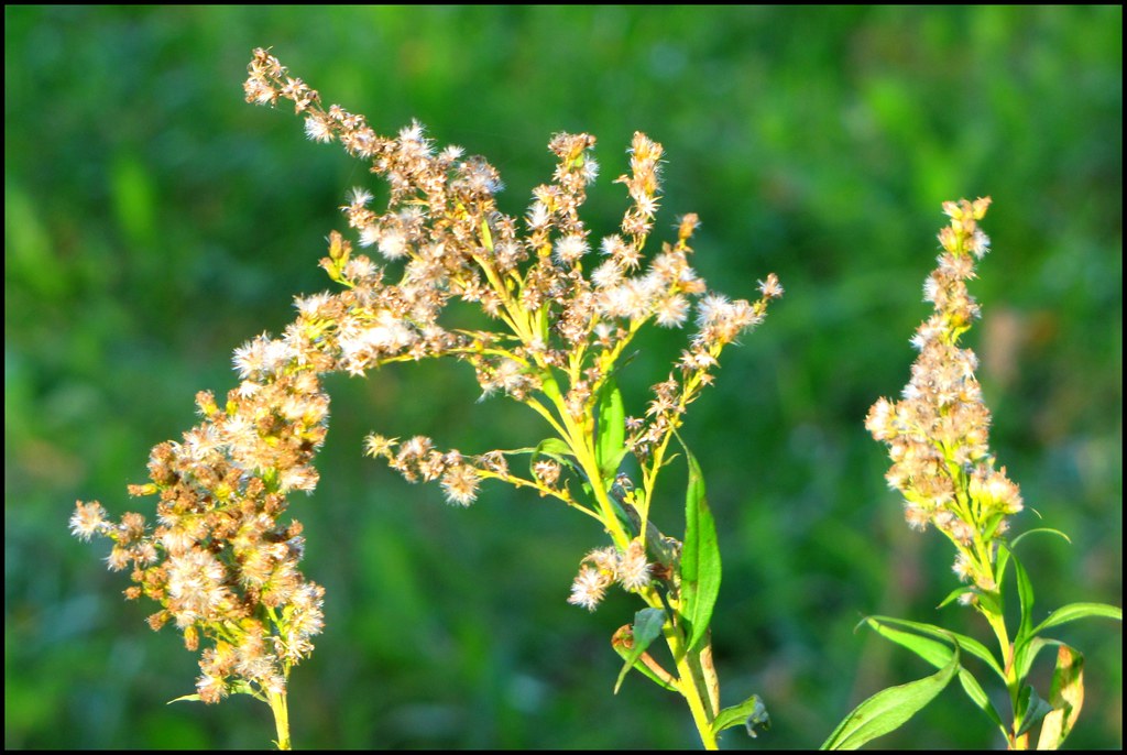
Dandelion Field
2014-07-06 04.46.28

2014-07-06 04.46.29
Topographic Map of Walker Settlement Rd, Island Falls, ME, USA
Find elevation by address:

Places near Walker Settlement Rd, Island Falls, ME, USA:
US-2, Dyer Brook, ME, USA
Dyer Brook
Island Falls
Smyrna Mills
Rebel Hill Road
Ridge Rd, Oakfield, ME, USA
Currie Rd, Smyrna Mills, ME, USA
Cadbury Lane
Smyrna
Crystal
ME-11, Smyrna Mills, ME, USA
3 Island Falls Rd, Sherman, ME, USA
Moro
South Oakfield Road
334 S Oakfield Rd
334 S Oakfield Rd
334 S Oakfield Rd
334 S Oakfield Rd
Hersey
406 New Limerick Rd
Recent Searches:
- Elevation of Fern Rd, Whitmore, CA, USA
- Elevation of 62 Abbey St, Marshfield, MA, USA
- Elevation of Fernwood, Bradenton, FL, USA
- Elevation of Felindre, Swansea SA5 7LU, UK
- Elevation of Leyte Industrial Development Estate, Isabel, Leyte, Philippines
- Elevation of W Granada St, Tampa, FL, USA
- Elevation of Pykes Down, Ivybridge PL21 0BY, UK
- Elevation of Jalan Senandin, Lutong, Miri, Sarawak, Malaysia
- Elevation of Bilohirs'k
- Elevation of 30 Oak Lawn Dr, Barkhamsted, CT, USA