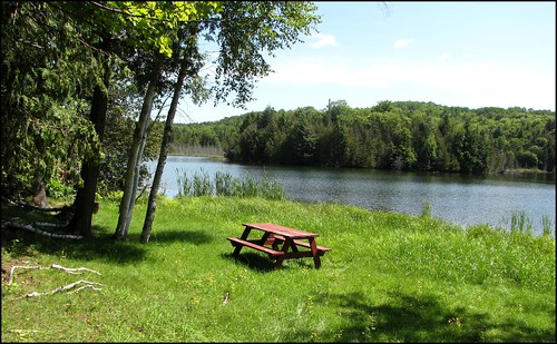
Elevation of Smyrna, ME, USA
Location: United States > Maine > Aroostook County >
Longitude: -68.120351
Latitude: 46.1644547
Elevation: 231m / 758feet
Barometric Pressure: 99KPa
Related Photos:
Topographic Map of Smyrna, ME, USA
Find elevation by address:

Places in Smyrna, ME, USA:
Places near Smyrna, ME, USA:
Cadbury Lane
Currie Rd, Smyrna Mills, ME, USA
Ridge Rd, Oakfield, ME, USA
Smyrna Mills
Rebel Hill Road
Dyer Brook
US-2, Dyer Brook, ME, USA
Hemore Road
1599 Ludlow Rd
1599 Ludlow Rd
Ludlow
406 New Limerick Rd
New Limerick
Houlton, ME, USA
Drews Lake Road
Town Of Hammond
Benn Hill Road
Hannigan Road
378 Mcsheffery Rd
Recent Searches:
- Elevation of Corso Fratelli Cairoli, 35, Macerata MC, Italy
- Elevation of Tallevast Rd, Sarasota, FL, USA
- Elevation of 4th St E, Sonoma, CA, USA
- Elevation of Black Hollow Rd, Pennsdale, PA, USA
- Elevation of Oakland Ave, Williamsport, PA, USA
- Elevation of Pedrógão Grande, Portugal
- Elevation of Klee Dr, Martinsburg, WV, USA
- Elevation of Via Roma, Pieranica CR, Italy
- Elevation of Tavkvetili Mountain, Georgia
- Elevation of Hartfords Bluff Cir, Mt Pleasant, SC, USA
