Elevation of Morley, MI, USA
Location: United States > Michigan > Mecosta County > Deerfield Township >
Longitude: -85.443928
Latitude: 43.4908606
Elevation: 274m / 899feet
Barometric Pressure: 98KPa
Elevation Map:
Satellite Map:
Related Photos:

Finally...Blue Skys

Watermelon Shooter
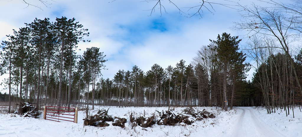
Back Road

Hunting Camp
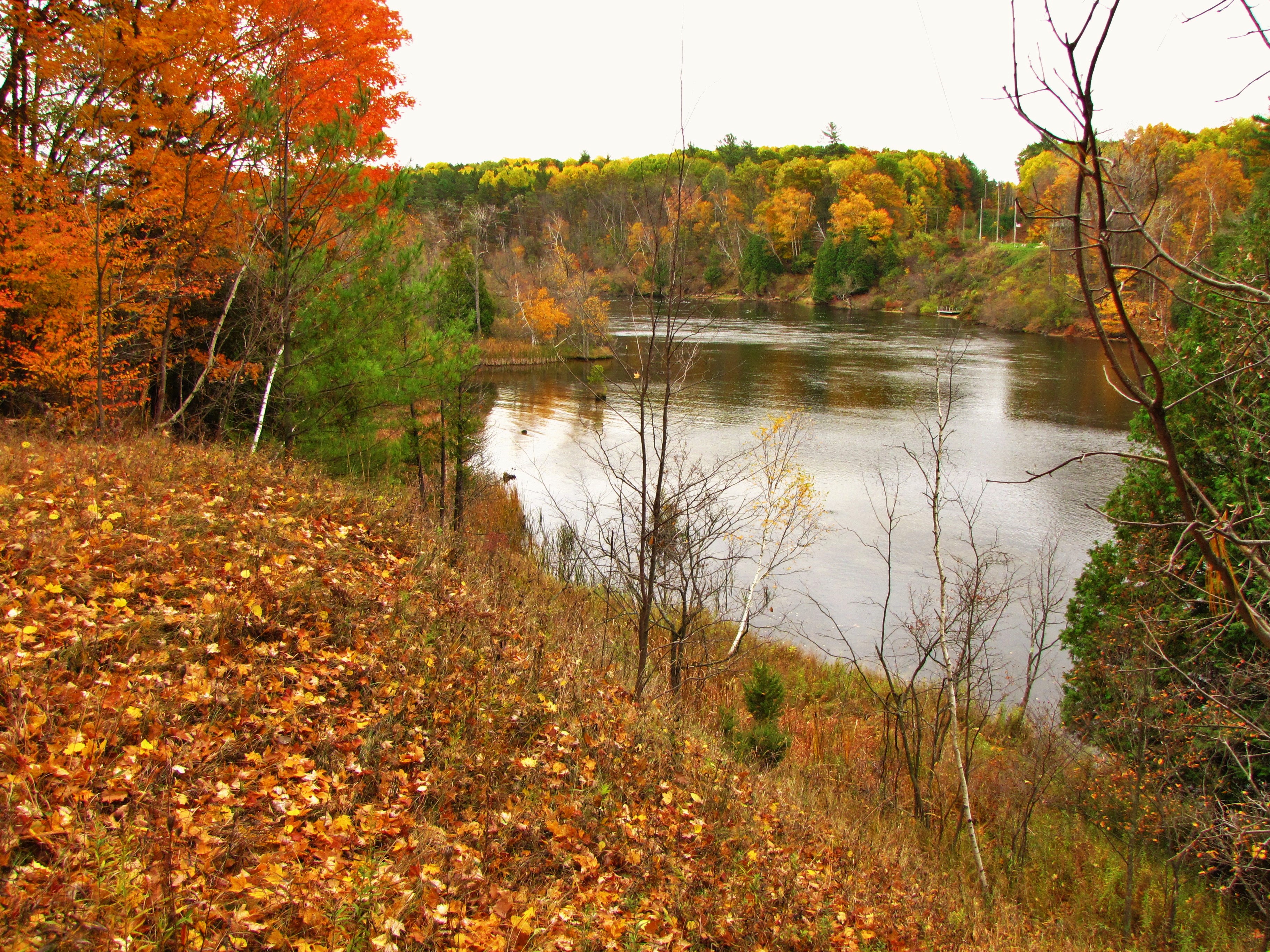
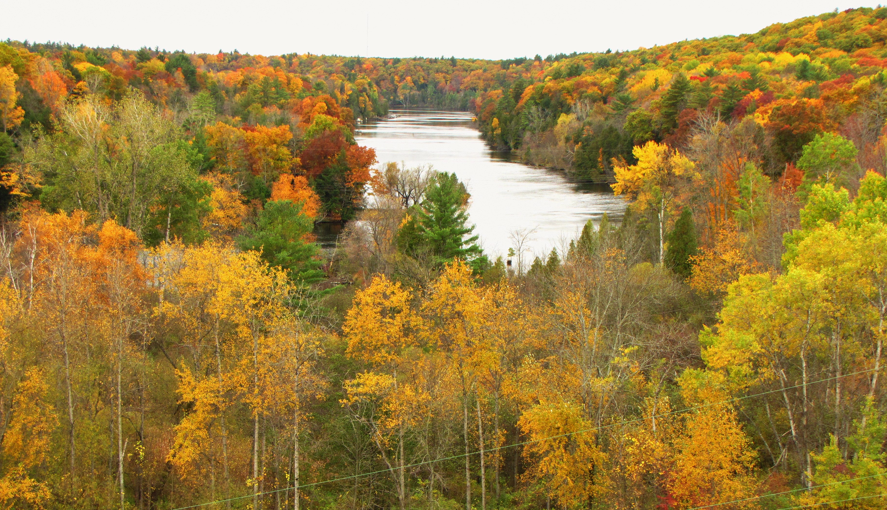
Autumn view of the Muskegon River

"Autumn's Quiescence"

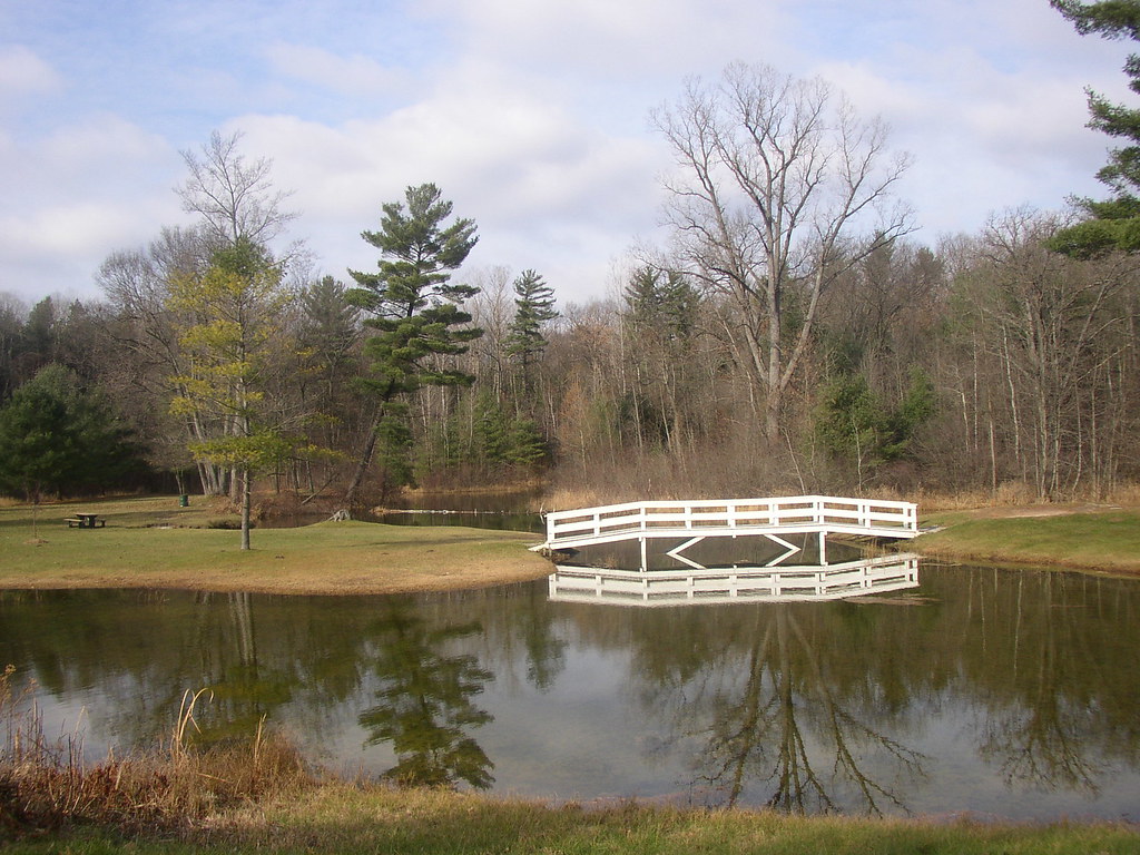
Dock and Dine

Trail through the pines
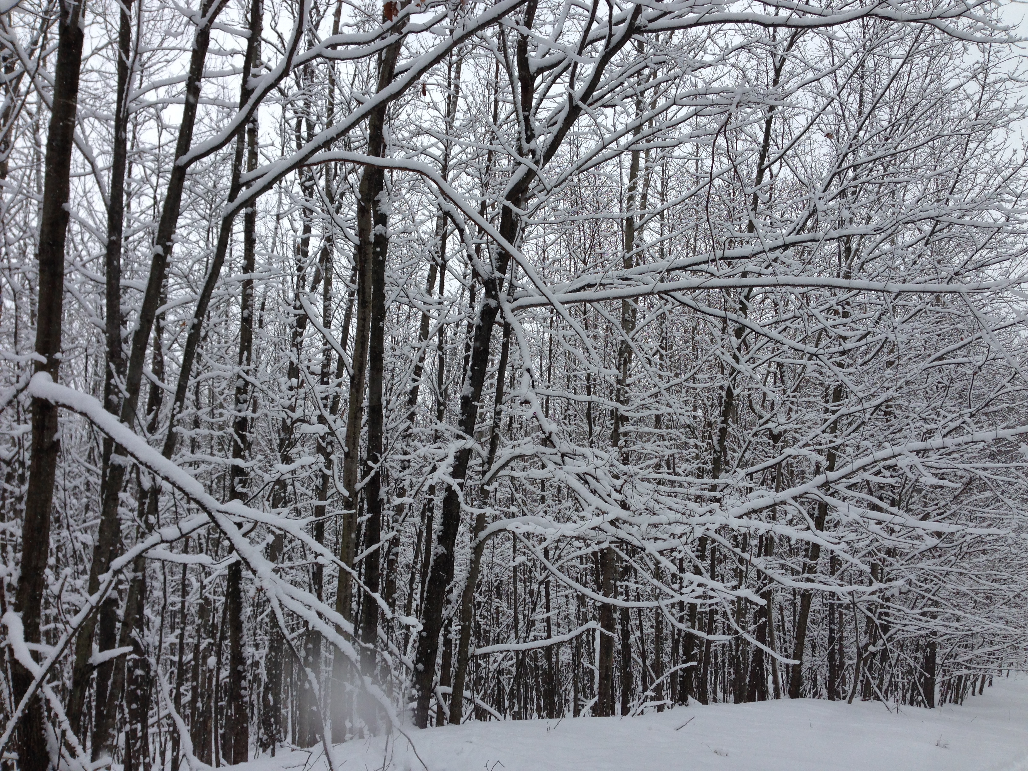
New snow

Hunting Tent

Scottish Highland Calves

Lake of the Clouds
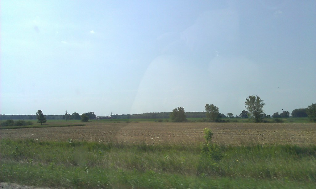
Driving across the state to Linwood. #1hourdown2togo

Meanwhile, a little further down the trail...
Peaceful stream
Muskegon River as seen from atop the Hardy Dam
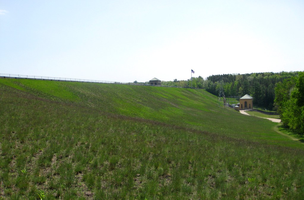
Earthen Dam
The Old Swimming Hole
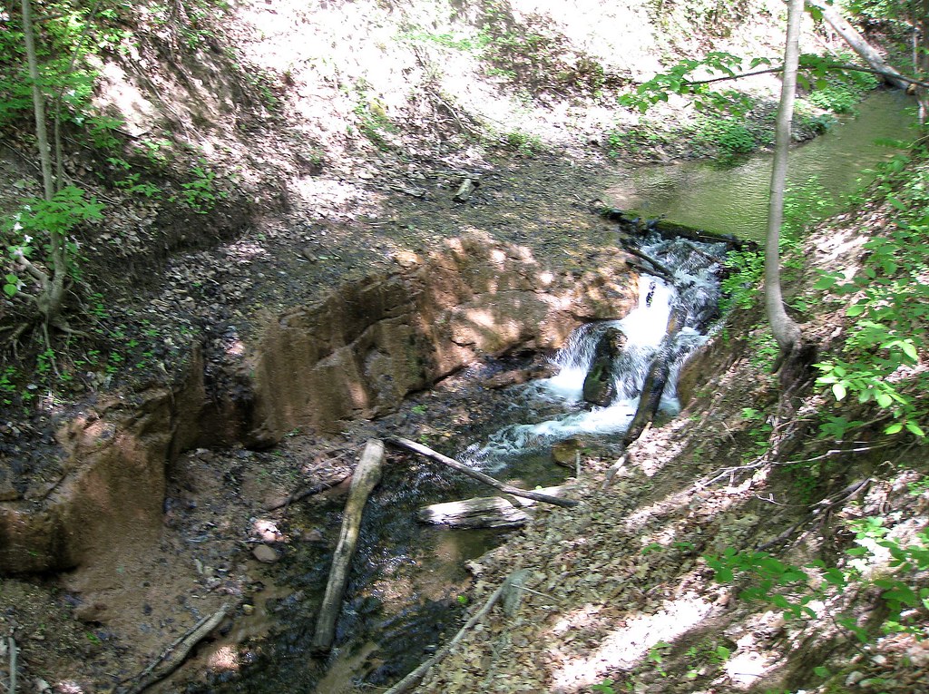
Little Stream
White water on a small stream

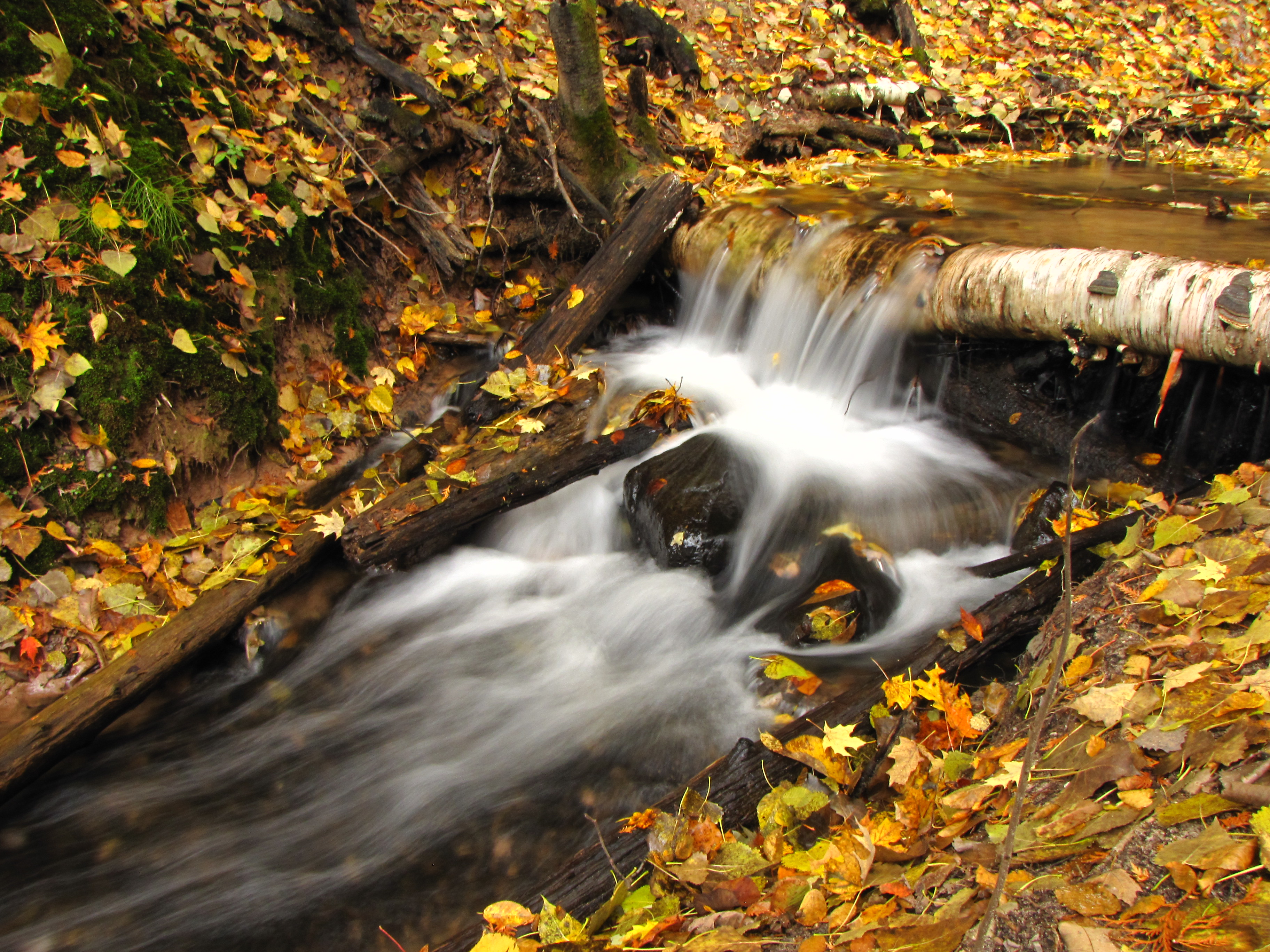
Mini waterfall

Under a canopy of gold

What a show!
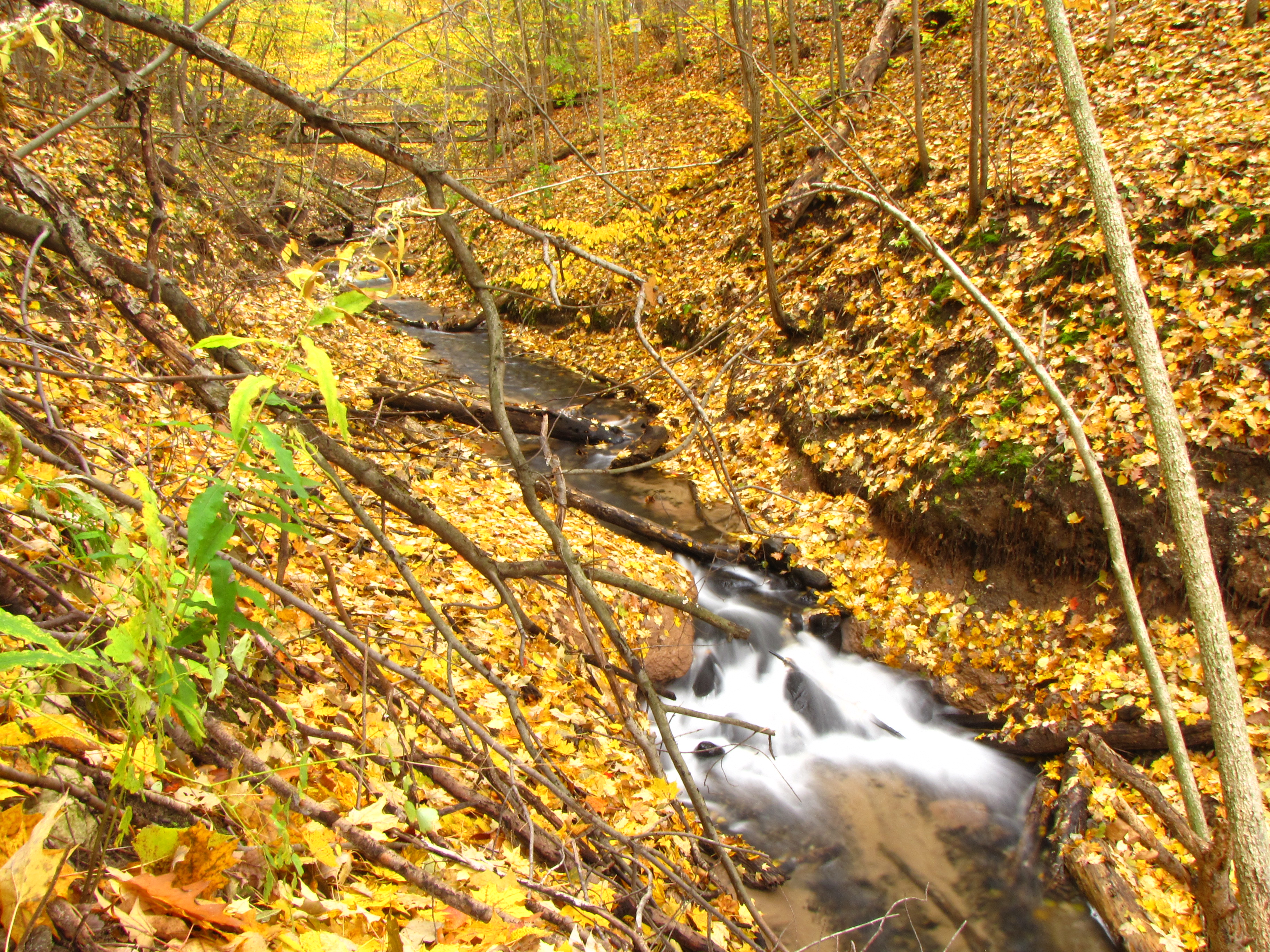
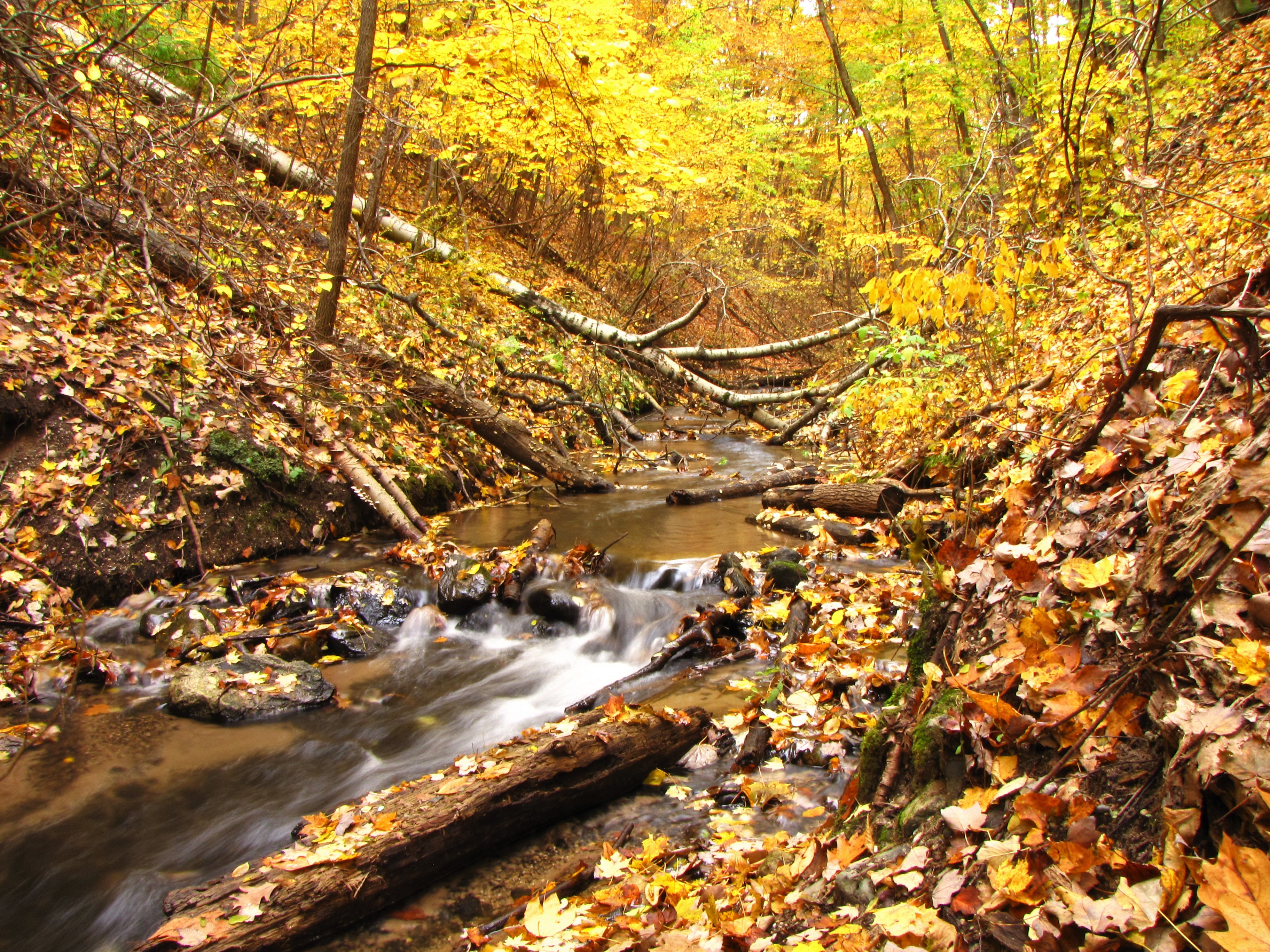
Autumn stream
Topographic Map of Morley, MI, USA
Find elevation by address:

Places in Morley, MI, USA:
Places near Morley, MI, USA:
3840 170th Ave
Deerfield Township
Reynolds Township
3168-3172
Howard City
Diane St, White Cloud, MI, USA
8120 Knight Dr
Green Acres Farm
Canadian Lakes
22778 W Wood Lake Rd
Big Prairie Township
Grand St, Pierson, MI, USA
7005 E 56th St
Croton Township
Hinton Township
5 Mile Rd, Mecosta, MI, USA
11251 Cottonwood Ave
Sand Lake
48 W Lake St, Sand Lake, MI, USA
Nelson Township
Recent Searches:
- Elevation of Corso Fratelli Cairoli, 35, Macerata MC, Italy
- Elevation of Tallevast Rd, Sarasota, FL, USA
- Elevation of 4th St E, Sonoma, CA, USA
- Elevation of Black Hollow Rd, Pennsdale, PA, USA
- Elevation of Oakland Ave, Williamsport, PA, USA
- Elevation of Pedrógão Grande, Portugal
- Elevation of Klee Dr, Martinsburg, WV, USA
- Elevation of Via Roma, Pieranica CR, Italy
- Elevation of Tavkvetili Mountain, Georgia
- Elevation of Hartfords Bluff Cir, Mt Pleasant, SC, USA