Elevation of Cottonwood Ave, Sand Lake, MI, USA
Location: United States > Michigan > Kent County > Nelson Township > Sand Lake >
Longitude: -85.602786
Latitude: 43.3507165
Elevation: 307m / 1007feet
Barometric Pressure: 98KPa
Elevation Map:
Satellite Map:
Related Photos:

Michigan's Autumn Colors (3)

It was a dam fine scenic view
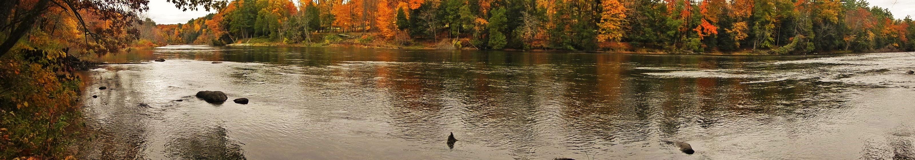
Panoramic view of Muskegon River
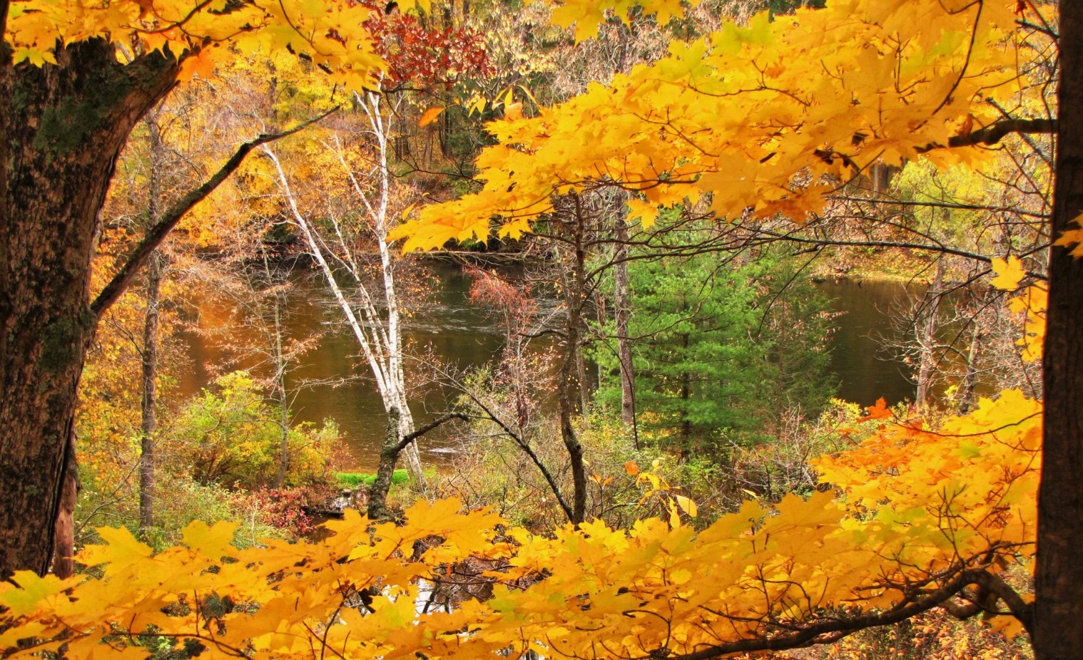
Framed in gold

The view from down low

Autumn view of the Muskegon River

Nice view in Croton, Michigan

Surrounded by yellow

170920 Muskegon River

Enjoy the View

Dam view vista #fall #autumn #puremichigan #croton #hardydam #landscape #colortour #bestofwestmi #yellow #orange #red #green #river #vista #scenic #explore #michigan #trees
Topographic Map of Cottonwood Ave, Sand Lake, MI, USA
Find elevation by address:

Places near Cottonwood Ave, Sand Lake, MI, USA:
22 Mile Road Northeast
22778 W Wood Lake Rd
Fisk Knob Northeast
Croton Township
21 Mile Road Northeast
48 W Lake St, Sand Lake, MI, USA
Sand Lake
Grand St, Pierson, MI, USA
7005 E 56th St
14850 White Creek Ave Ne
Reynolds Township
1355 Solon St Ne
Nelson Township
Cedar Springs
Howard City
Green Acres Farm
Big Prairie Township
8120 Knight Dr
391 Indian Lakes Rd Ne
7076 17 Mile Rd Ne
Recent Searches:
- Elevation of Tenjo, Cundinamarca, Colombia
- Elevation of Côte-des-Neiges, Montreal, QC H4A 3J6, Canada
- Elevation of Bobcat Dr, Helena, MT, USA
- Elevation of Zu den Ihlowbergen, Althüttendorf, Germany
- Elevation of Badaber, Peshawar, Khyber Pakhtunkhwa, Pakistan
- Elevation of SE Heron Loop, Lincoln City, OR, USA
- Elevation of Slanický ostrov, 01 Námestovo, Slovakia
- Elevation of Spaceport America, Co Rd A, Truth or Consequences, NM, USA
- Elevation of Warwick, RI, USA
- Elevation of Fern Rd, Whitmore, CA, USA