Elevation of Green Acres Farm, Jones Rd, Pierson, MI, USA
Location: United States > Michigan > Montcalm County >
Longitude: -85.458201
Latitude: 43.3296449
Elevation: 285m / 935feet
Barometric Pressure: 98KPa
Elevation Map:
Satellite Map:
Related Photos:

Round of 18 with the guys

The Shed
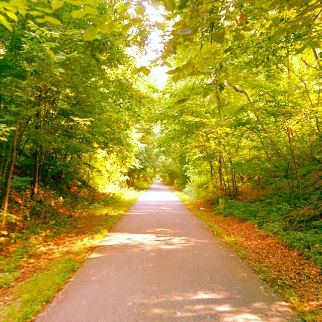
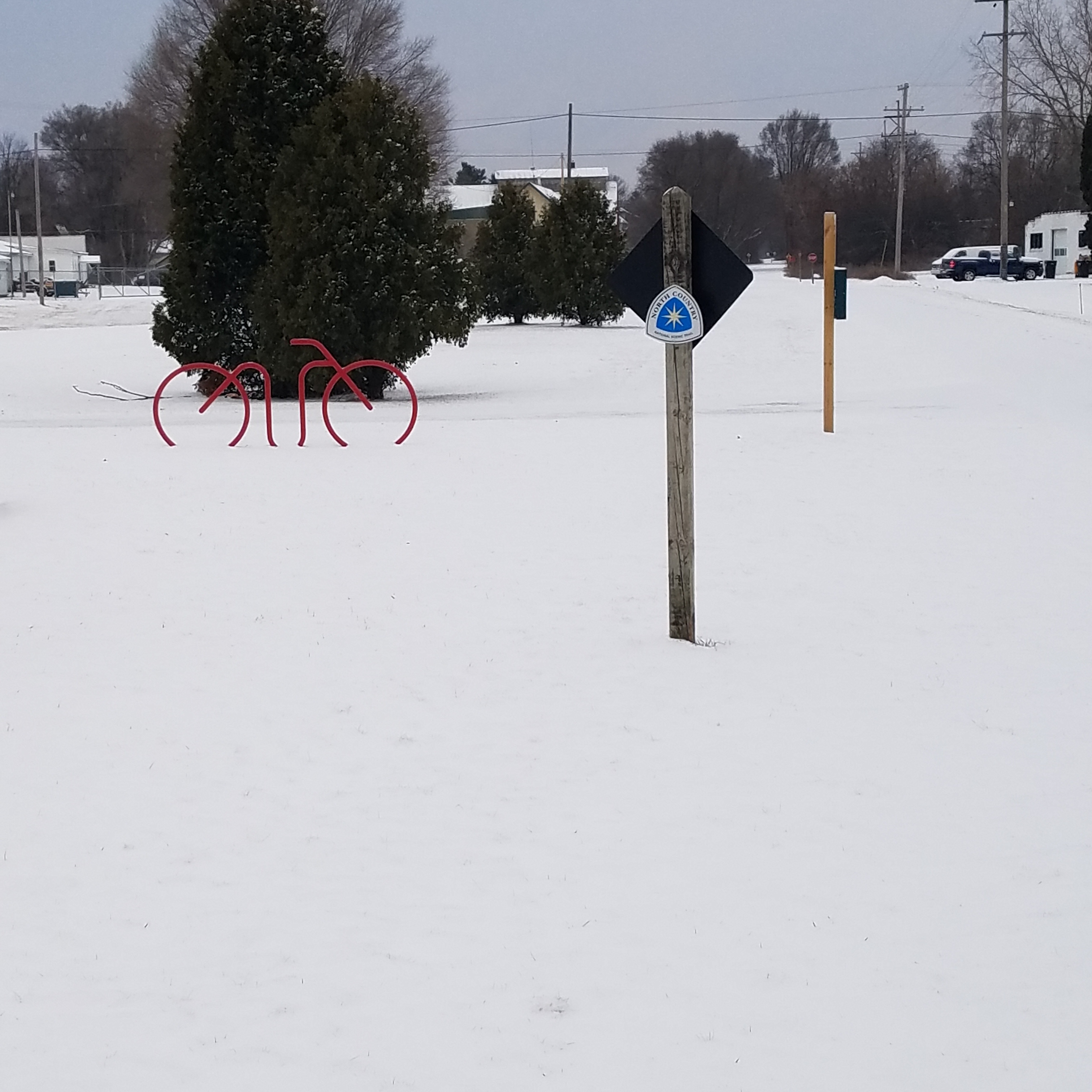
Another #sundayfunday of #biking the White Pine Trail #summer #sunshine #travel #PureMichigan

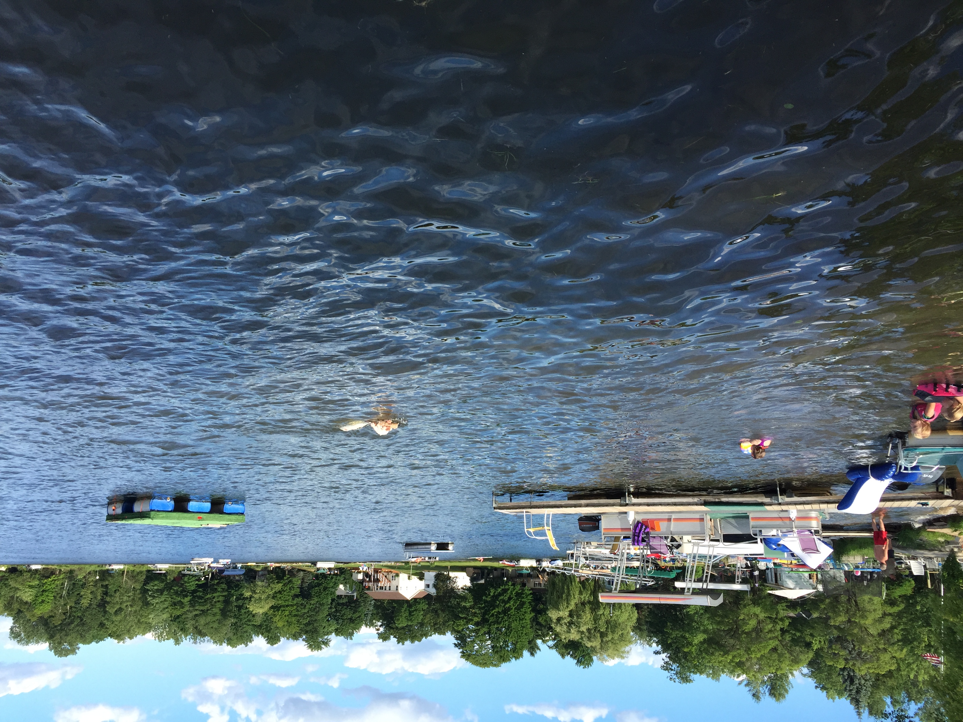
lakemichigan #waves #wet #water #summer #eavig...

Madeline + Chris
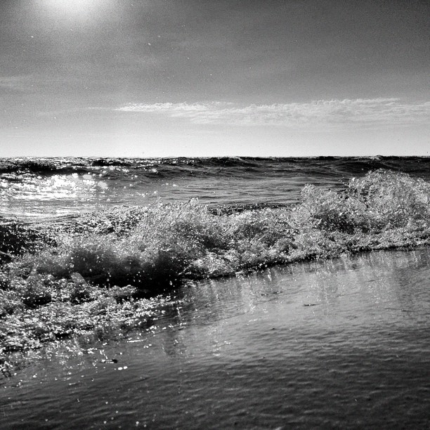
lakemichigan #waves #wet #water #summer #shore...
Corky-DJ-Cutting

January 26, 2014 at 01:33PM
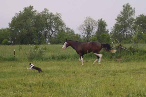
Lets run together
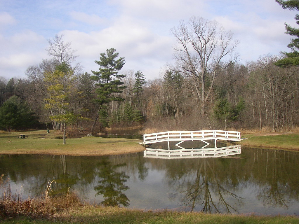
The Old Swimming Hole
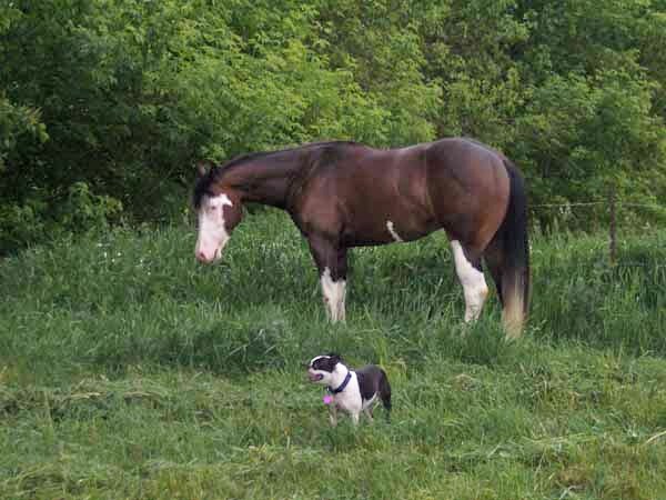
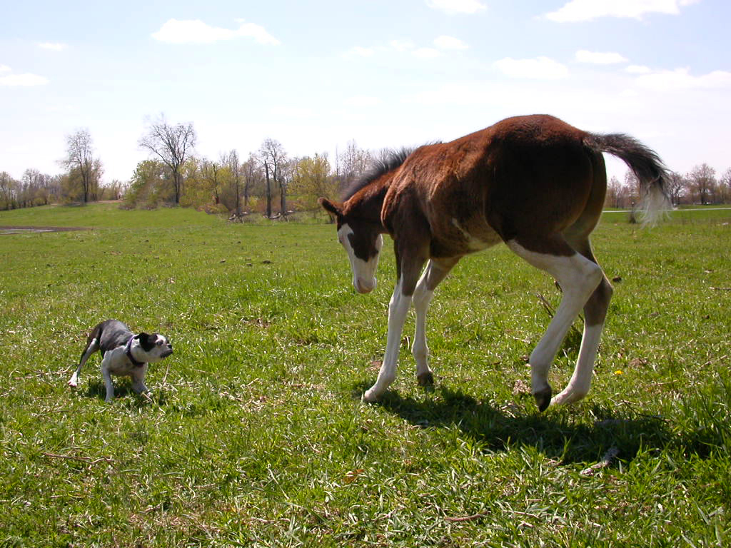
DJ and Corky taking a break
Angela Merlington
New photo added to "All Photos"
Topographic Map of Green Acres Farm, Jones Rd, Pierson, MI, USA
Find elevation by address:

Places near Green Acres Farm, Jones Rd, Pierson, MI, USA:
Grand St, Pierson, MI, USA
Howard City
Sand Lake
48 W Lake St, Sand Lake, MI, USA
Nelson Township
22778 W Wood Lake Rd
Reynolds Township
Spencer Township
7076 17 Mile Rd Ne
10019 Rentsman St Ne
Redmond Ave NE, Cedar Springs, MI, USA
Cedar Springs
14850 White Creek Ave Ne
11251 Cottonwood Ave
22 Mile Road Northeast
Fisk Knob Northeast
Morley
6479 Foxtail Meadows Dr Ne
Croton Township
Courtland Township
Recent Searches:
- Elevation of Jadagoniai, Kaunas District Municipality, Lithuania
- Elevation of Pagonija rock, Kranto 7-oji g. 8"N, Kaunas, Lithuania
- Elevation of Co Rd 87, Jamestown, CO, USA
- Elevation of Tenjo, Cundinamarca, Colombia
- Elevation of Côte-des-Neiges, Montreal, QC H4A 3J6, Canada
- Elevation of Bobcat Dr, Helena, MT, USA
- Elevation of Zu den Ihlowbergen, Althüttendorf, Germany
- Elevation of Badaber, Peshawar, Khyber Pakhtunkhwa, Pakistan
- Elevation of SE Heron Loop, Lincoln City, OR, USA
- Elevation of Slanický ostrov, 01 Námestovo, Slovakia