Elevation of - th Ave, Morley, MI, USA
Location: United States > Michigan > Mecosta County > Deerfield Township > Morley >
Longitude: -85.352902
Latitude: 43.5190727
Elevation: 304m / 997feet
Barometric Pressure: 98KPa
Elevation Map:
Satellite Map:
Related Photos:
Back Road

Finally...Blue Skys

Watermelon Shooter
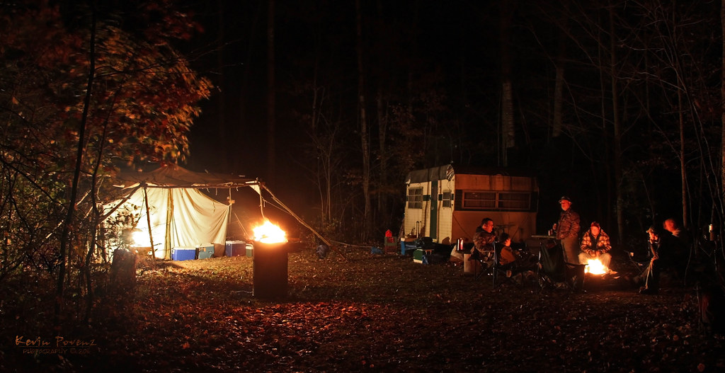
Hunting Camp
Driving across the state to Linwood. #1hourdown2togo

"Autumn's Quiescence"
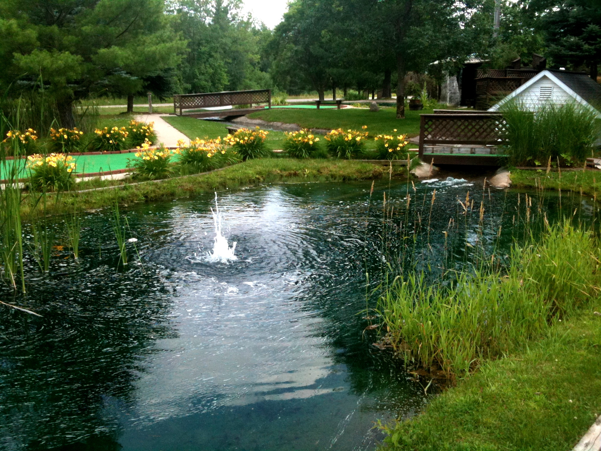
Minigolf nearby
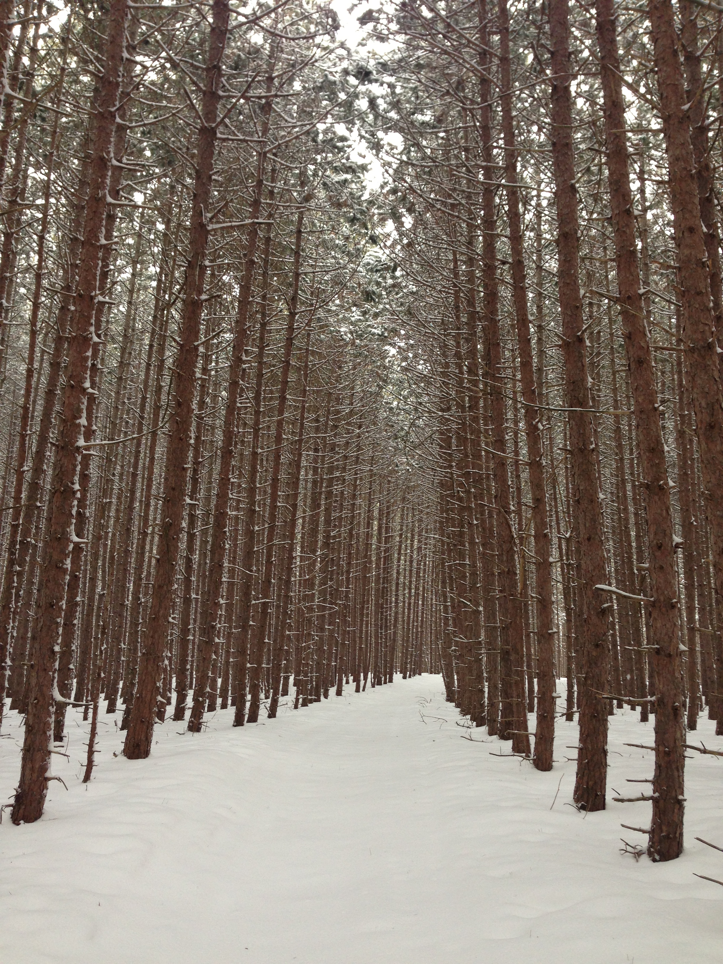
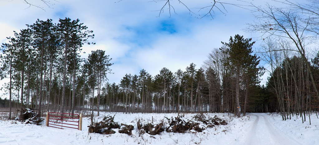
Trail through the pines
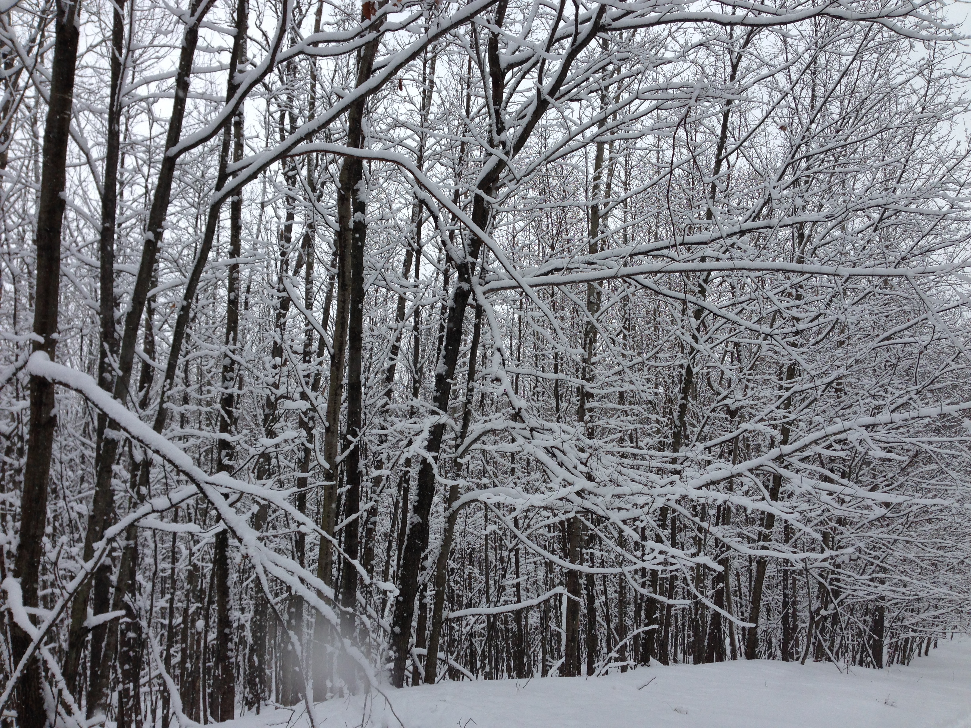
New snow

Hunting Tent
I found more deep snow today

Scottish Highland Calves

Lake of the Clouds
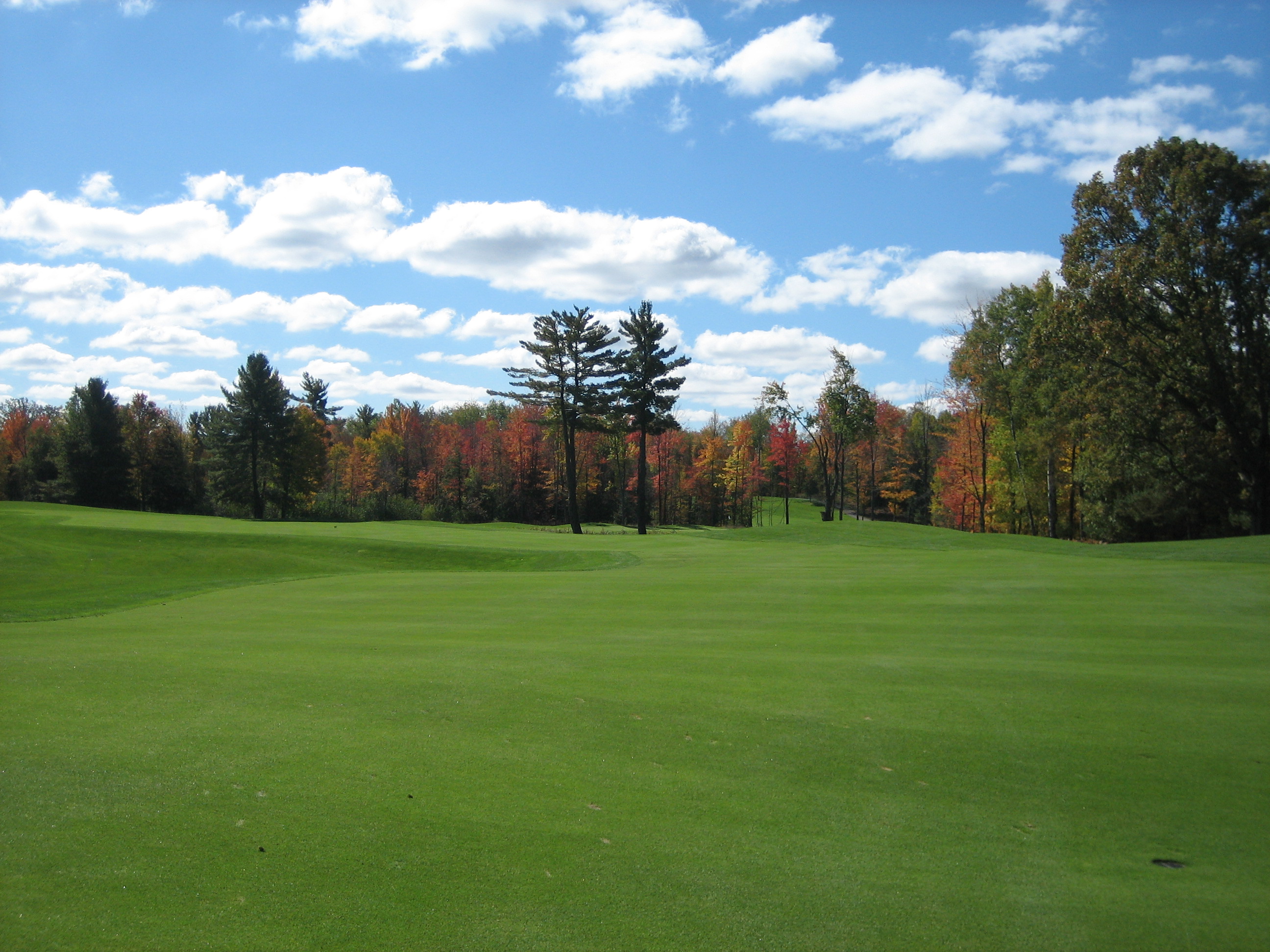
Tullymore Golf Course

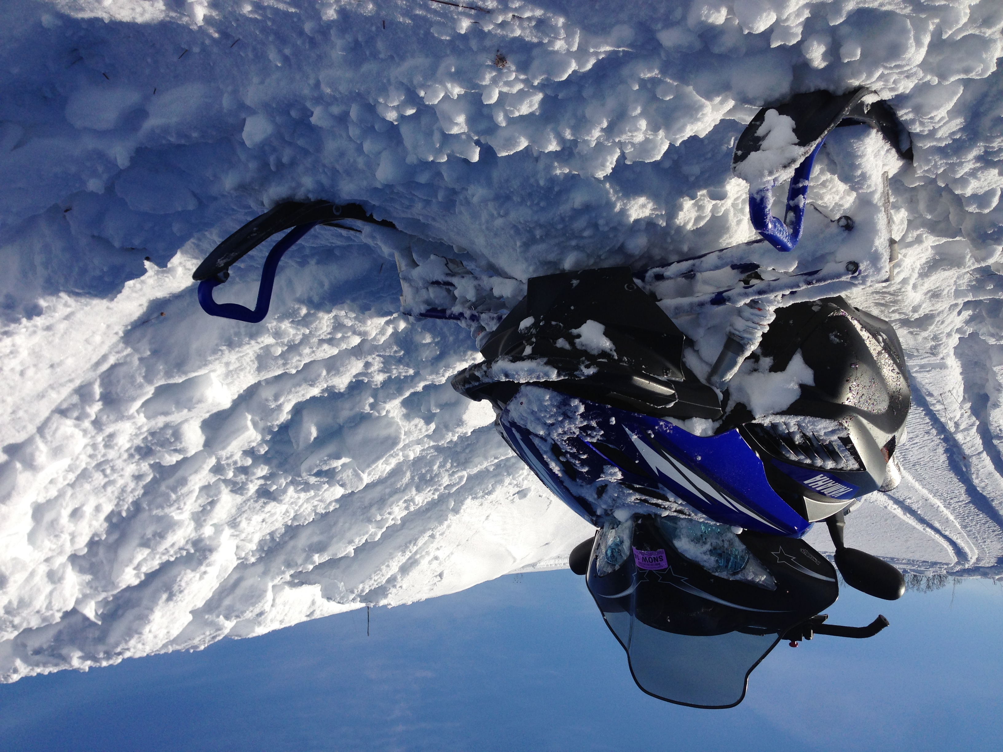
Making new trails
Topographic Map of - th Ave, Morley, MI, USA
Find elevation by address:

Places near - th Ave, Morley, MI, USA:
Deerfield Township
3840 170th Ave
Canadian Lakes
Morley
Hinton Township
5 Mile Rd, Mecosta, MI, USA
Howard City
Reynolds Township
Green Acres Farm
Diane St, White Cloud, MI, USA
8120 Knight Dr
Grand St, Pierson, MI, USA
22778 W Wood Lake Rd
Spencer Township
Montcalm County
Big Prairie Township
Blanchard
7005 E 56th St
Sand Lake
48 W Lake St, Sand Lake, MI, USA
Recent Searches:
- Elevation of Corso Fratelli Cairoli, 35, Macerata MC, Italy
- Elevation of Tallevast Rd, Sarasota, FL, USA
- Elevation of 4th St E, Sonoma, CA, USA
- Elevation of Black Hollow Rd, Pennsdale, PA, USA
- Elevation of Oakland Ave, Williamsport, PA, USA
- Elevation of Pedrógão Grande, Portugal
- Elevation of Klee Dr, Martinsburg, WV, USA
- Elevation of Via Roma, Pieranica CR, Italy
- Elevation of Tavkvetili Mountain, Georgia
- Elevation of Hartfords Bluff Cir, Mt Pleasant, SC, USA