Elevation of Moosup, Plainfield, CT, USA
Location: United States > Connecticut > Windham County > Sterling >
Longitude: -71.880905
Latitude: 41.7128767
Elevation: 72m / 236feet
Barometric Pressure: 100KPa
Elevation Map:
Satellite Map:
Related Photos:

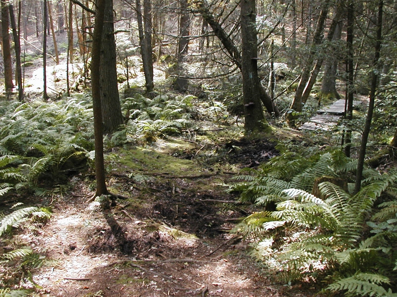
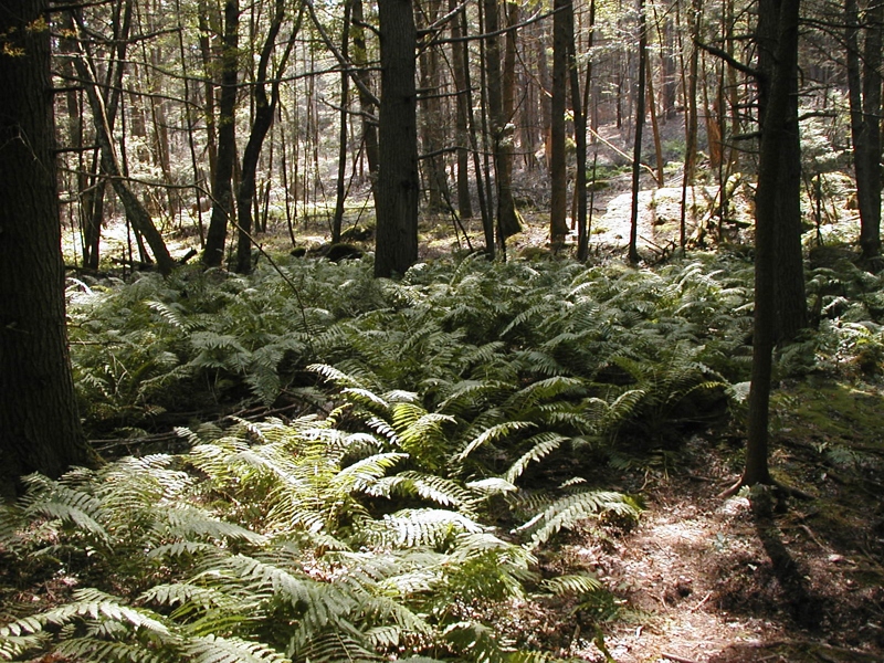
In the woods of Lisbon

This morning's view from my humble abode is still pretty but it's easy to see that my favorite season is fleeing too fast. #foliage #connecticut #igersnewengland #igersconnecticut #yankeemagazine #fall

Wasp Face

Country view restaurant

fallin' silo

Wasp Macro

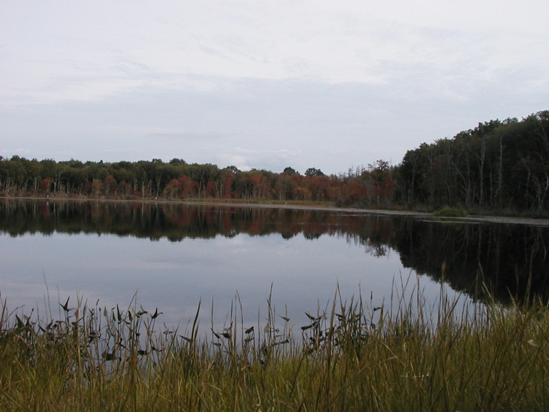
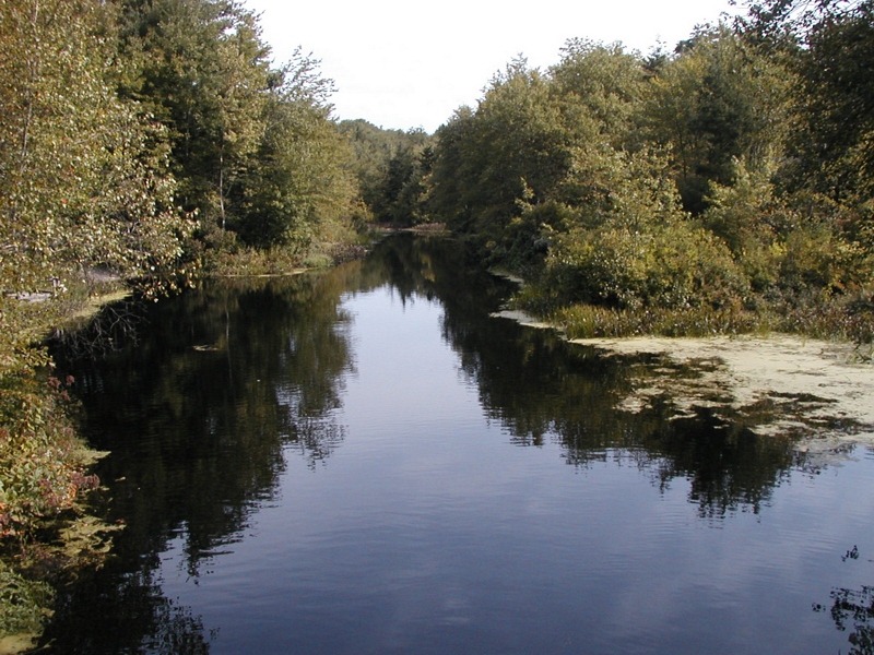
Eastern View of Pachaug River in Autumn

Western View of Pachaug River in Autumn

View out the window at the historic Green School in Canterbury during this week's Old Home Day meeting.

A Long Winters Nap Proves Beauty Above My Head

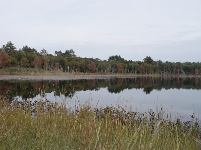
Panoramic View of Hell Hollow Pond

#14 - Another view looking down.

Mount Misery Brook

Panoramic View from Mount Misery

tail's view

Nice View from Up There.

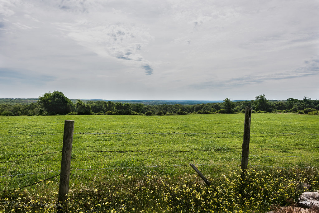
Scenic View

The Chicken
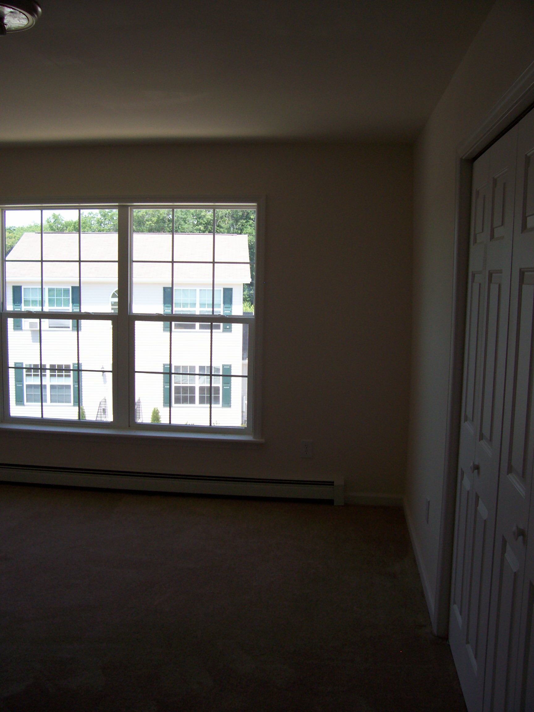
MBR 01
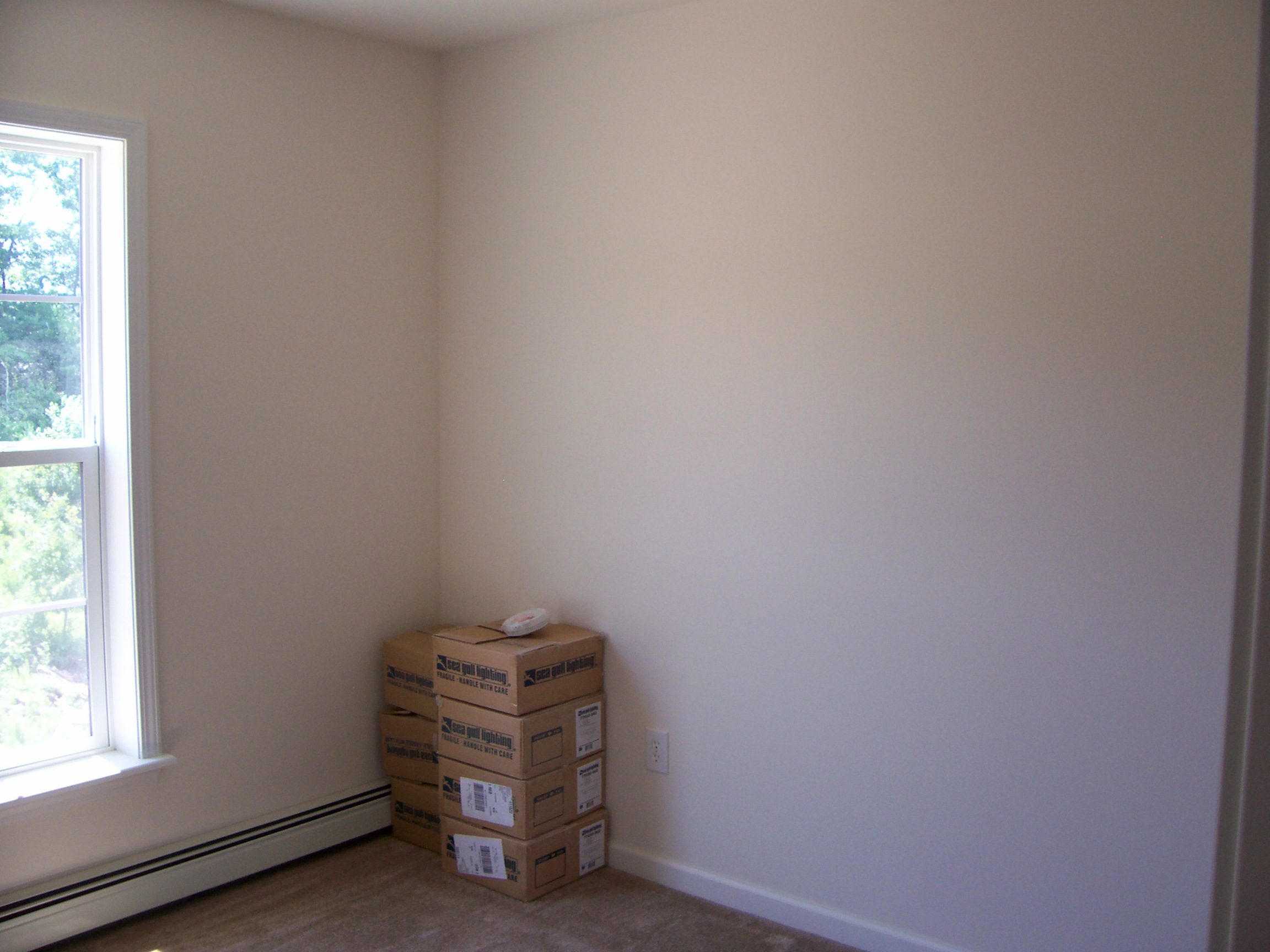
Bedroom 2 02
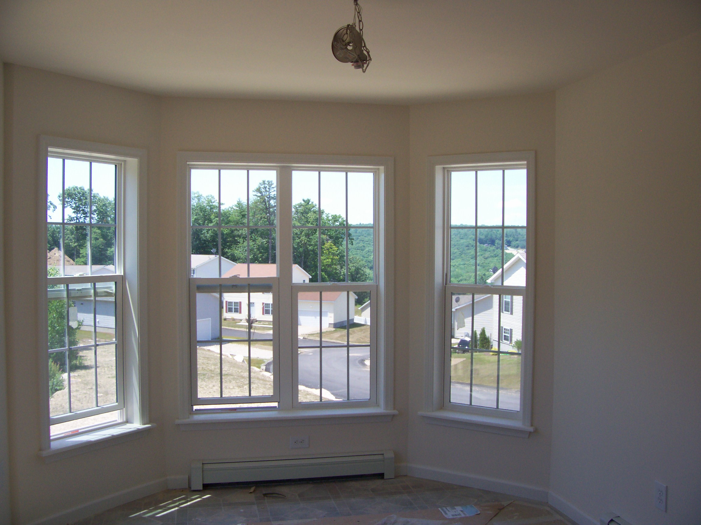
Breakfast Nook 02

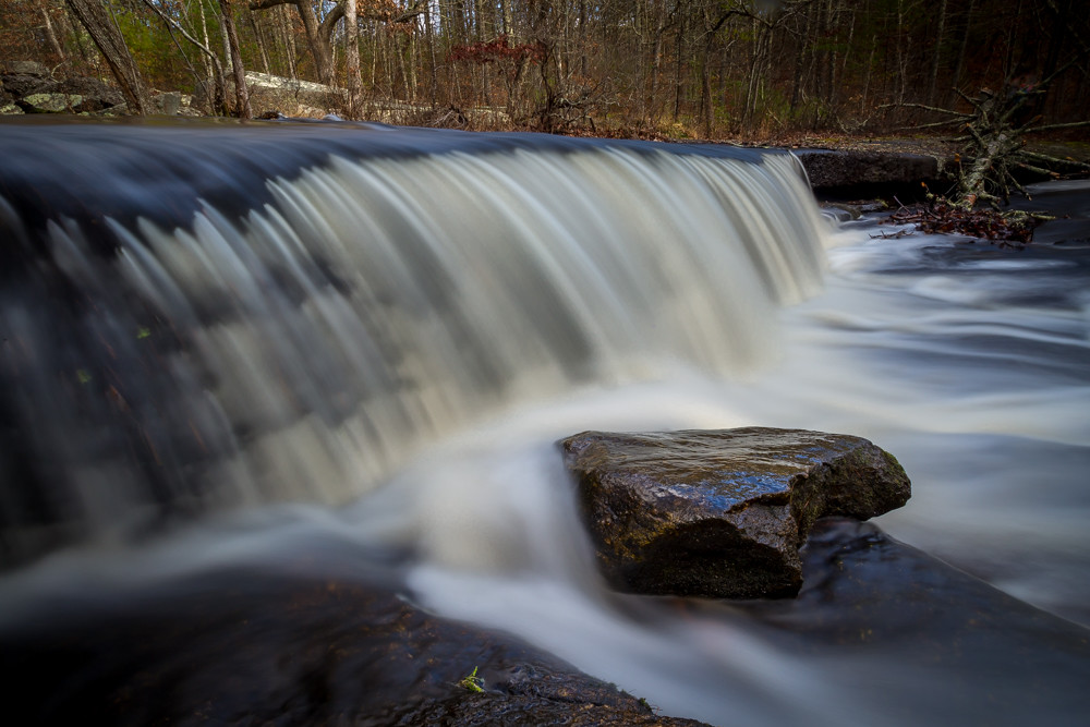
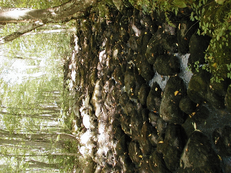
Downstream from Stepstone Falls, Rhode Island
OLYMPUS DIGITAL CAMERA
Pachaug State Forest

Stepping Stone Falls - RI

stepping stone swirlies
OLYMPUS DIGITAL CAMERA

Brooklyn CT
Stepstone Falls
Upon the Forest Floor.
OLYMPUS DIGITAL CAMERA

stepping stone lower rock

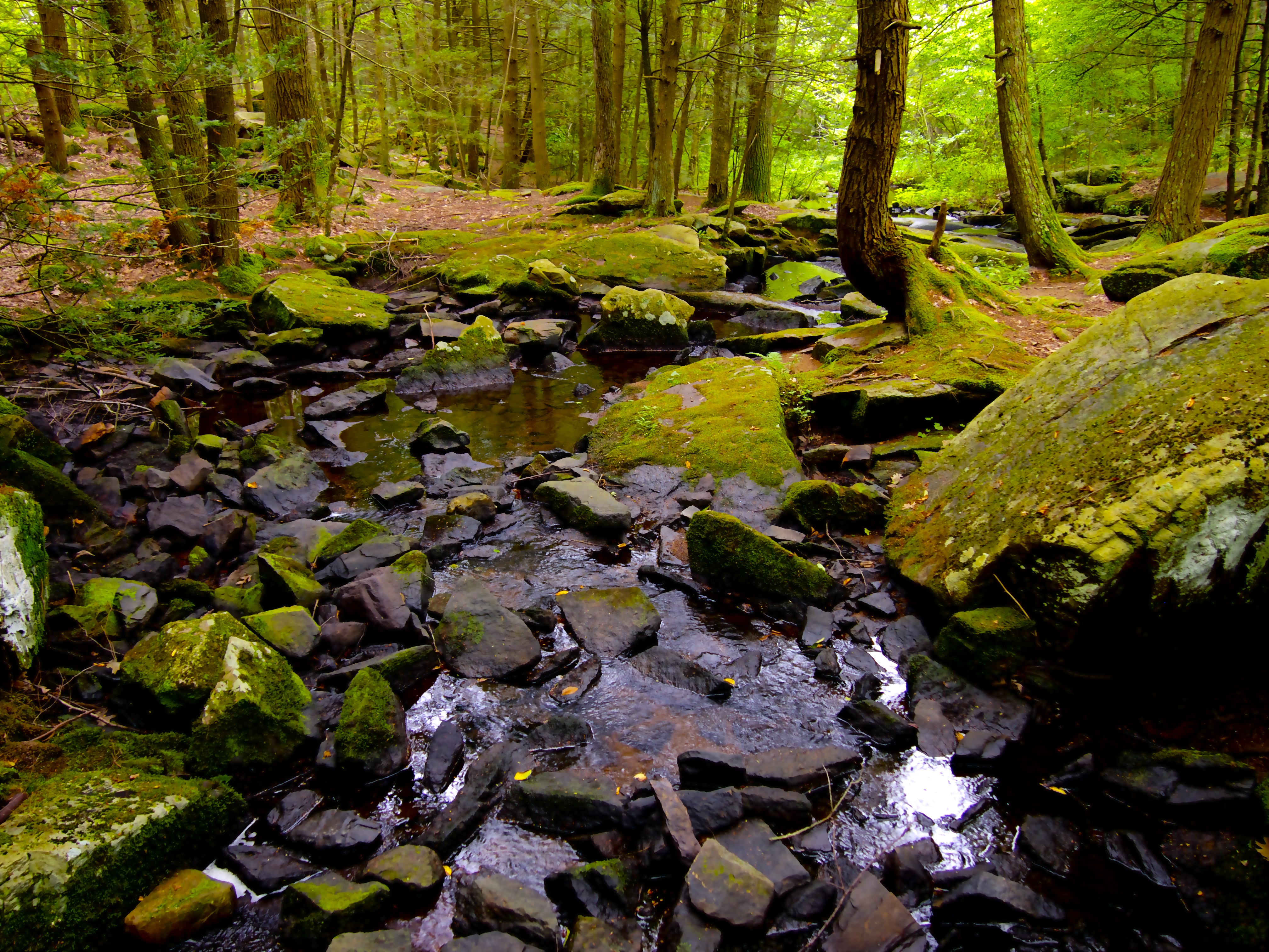
grassy pool at stepping stone

Ashland Pond Dam #4
OLYMPUS DIGITAL CAMERA

Hopeville Pond
OLYMPUS DIGITAL CAMERA

Milk Cows
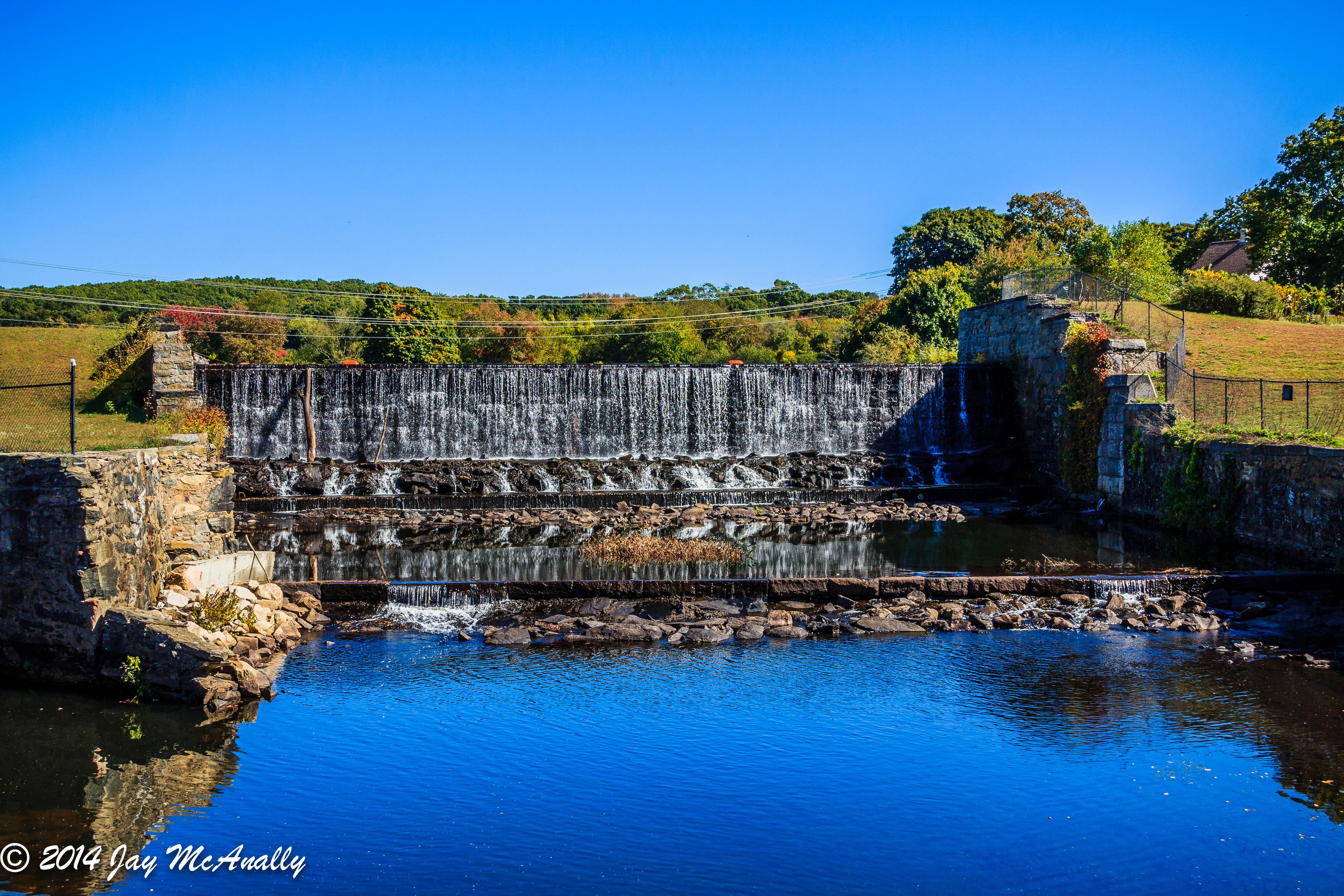
Ashland Pond Dam #3
OLYMPUS DIGITAL CAMERA

418-1
OLYMPUS DIGITAL CAMERA
Topographic Map of Moosup, Plainfield, CT, USA
Find elevation by address:

Places in Moosup, Plainfield, CT, USA:
Places near Moosup, Plainfield, CT, USA:
Sterling Hill Road
263 Starkweather Rd
18 Lester Dr
Central Village
13 Putnam Rd, Central Village, CT, USA
35 Depot Rd, Danielson, CT, USA
Putnam Road
616 Squaw Rock Rd
Plainfield
Wauregan Rd, Brooklyn, CT, USA
49 Maynard Rd
362 Main St
37 Ledge Hill Rd
Sterling
352 Main St
532 Wauregan Rd
548 Sterling Rd
179 Valley View Rd
Danielson, Ct
Plainfield Pike, Sterling, CT, USA
Recent Searches:
- Elevation of Spaceport America, Co Rd A, Truth or Consequences, NM, USA
- Elevation of Warwick, RI, USA
- Elevation of Fern Rd, Whitmore, CA, USA
- Elevation of 62 Abbey St, Marshfield, MA, USA
- Elevation of Fernwood, Bradenton, FL, USA
- Elevation of Felindre, Swansea SA5 7LU, UK
- Elevation of Leyte Industrial Development Estate, Isabel, Leyte, Philippines
- Elevation of W Granada St, Tampa, FL, USA
- Elevation of Pykes Down, Ivybridge PL21 0BY, UK
- Elevation of Jalan Senandin, Lutong, Miri, Sarawak, Malaysia