Elevation of Sterling Rd, Sterling, CT, USA
Location: United States > Connecticut > Windham County > Sterling >
Longitude: -71.821416
Latitude: 41.7048701
Elevation: 120m / 394feet
Barometric Pressure: 100KPa
Elevation Map:
Satellite Map:
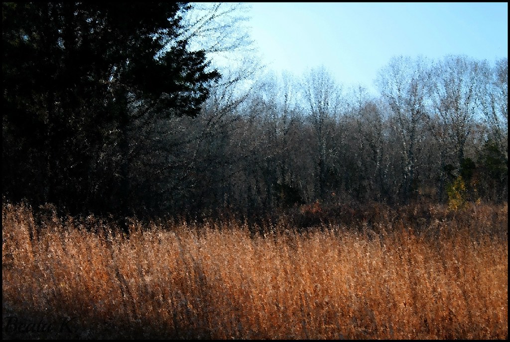
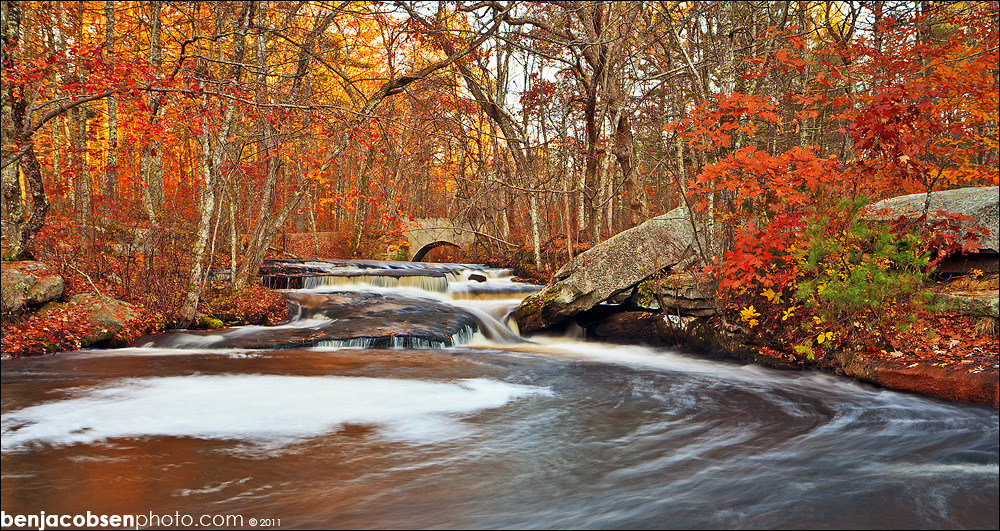
Related Photos:

reflection in the mist
NOVEMBER MOOD

Panoramic View of Hell Hollow Pond

Mount Misery Brook

Wasp Face

Christmas Tree 2015

Wasp Macro
View from convent, Moosup, CT

Panoramic View from Mount Misery

Broad Brook

Western View of Pachaug River in Autumn

Panoramic View of Southern Beach Pond from Ten Rod Road

Eastern View of Pachaug River in Autumn
Hometown&Work

fallin' silo

View of Beach Pond from the Former Beach

Panoramic View of Beachdale Pond in Autumn

View From the Hemlock Ledges Overlook

Panoramic View of Beach Pond from the South

Panoramic View of Beach Pond from the East

View out the window at the historic Green School in Canterbury during this week's Old Home Day meeting.

New England Autumn [ Explored ]

pachaug at sunset

Plainfield Greyhound Track (Plainfield, Connecticut)
stepping stone swirlies

Stepstone Falls

Wood River

grassy pool at stepping stone
stepping stone lower rock

Sterling, Connecticut

Beach Pond

Stone Wall

A Cascade at Stepstone Falls

stepping stone step @ 14mm

Pachaug Trail Damage from Vehicles

Plainfield Greyhound Track

Stream 1

Stepstone Low Flow

Old Plainfield Cemetery

Upon the Forest Floor.
Topographic Map of Sterling Rd, Sterling, CT, USA
Find elevation by address:

Places near Sterling Rd, Sterling, CT, USA:
Sterling
37 Ledge Hill Rd
Plainfield Pike, Sterling, CT, USA
352 Main St
362 Main St
901 Sterling Rd
Gibson Hill Road
2322 Plainfield Pike
Sterling Hill Road
179 Valley View Rd
Moosup
3 Easy St
Plain Woods Rd, Foster, RI, USA
16 Barbs Hill Rd, Coventry, RI, USA
616 Squaw Rock Rd
263 Starkweather Rd
253 Sand Hill Rd
37 Hopkins Hollow Rd, Coventry, RI, USA
Snake Meadow Road
Snake Meadow Road
Recent Searches:
- Elevation of Elwyn Dr, Roanoke Rapids, NC, USA
- Elevation of Congressional Dr, Stevensville, MD, USA
- Elevation of Bellview Rd, McLean, VA, USA
- Elevation of Stage Island Rd, Chatham, MA, USA
- Elevation of Shibuya Scramble Crossing, 21 Udagawacho, Shibuya City, Tokyo -, Japan
- Elevation of Jadagoniai, Kaunas District Municipality, Lithuania
- Elevation of Pagonija rock, Kranto 7-oji g. 8"N, Kaunas, Lithuania
- Elevation of Co Rd 87, Jamestown, CO, USA
- Elevation of Tenjo, Cundinamarca, Colombia
- Elevation of Côte-des-Neiges, Montreal, QC H4A 3J6, Canada