Elevation of Sterling Rd, Sterling, CT, USA
Location: United States > Connecticut > Windham County > Sterling >
Longitude: -71.794451
Latitude: 41.6990292
Elevation: 116m / 381feet
Barometric Pressure: 100KPa
Elevation Map:
Satellite Map:
Related Photos:

reflection in the mist
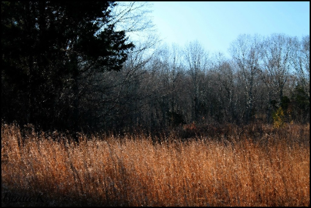
NOVEMBER MOOD

Panoramic View of Hell Hollow Pond

Wasp Face

Wasp Macro
View from convent, Moosup, CT

Broad Brook
Hometown&Work

fallin' silo

fallin' fields

The Chicken

tail's view

Nice View from Up There.

Breakfast Nook 02

0U1A3018 Canterbury CT - Cleveland Cemetery GPS 41.70366 -71.96883

Country view restaurant

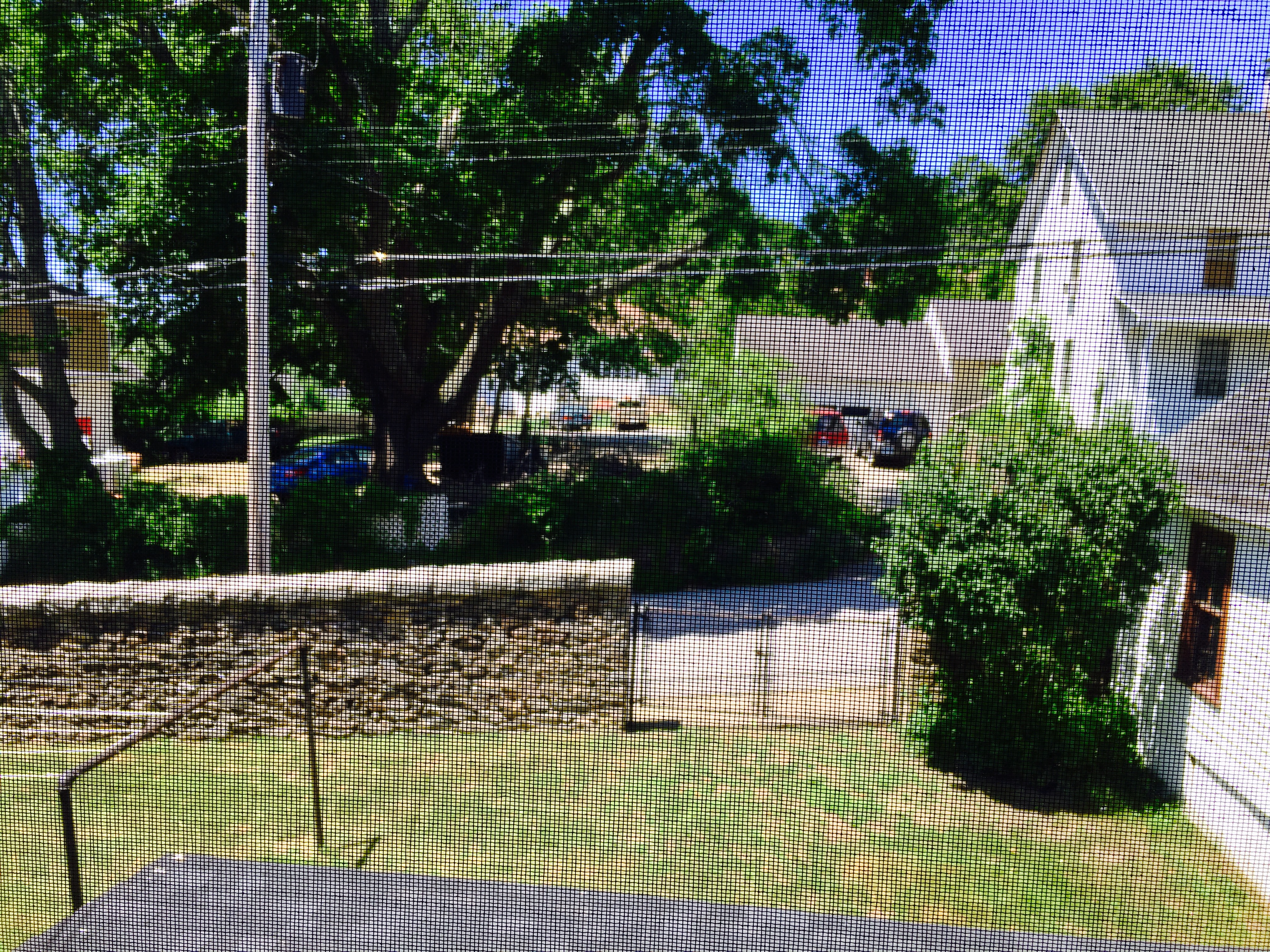
View from Deck 01
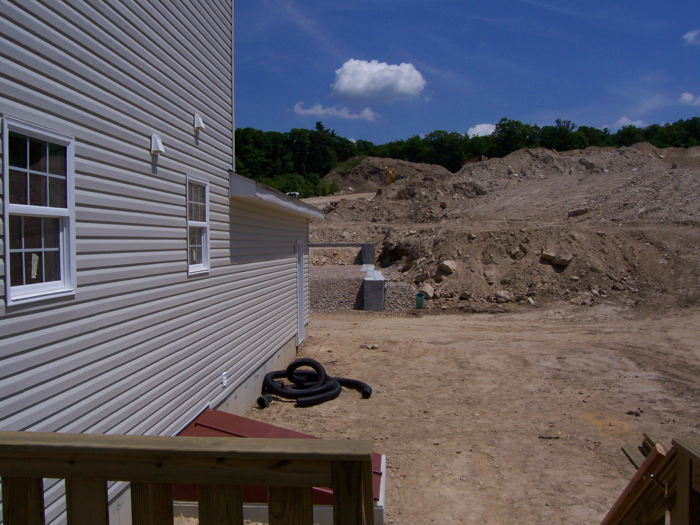
View from Deck 02

Mount Misery Brook

Panoramic View from Mount Misery

Western View of Pachaug River in Autumn

New England Autumn [ Explored ]

Plainfield Greyhound Track (Plainfield, Connecticut)

Stepstone Falls

Wood River

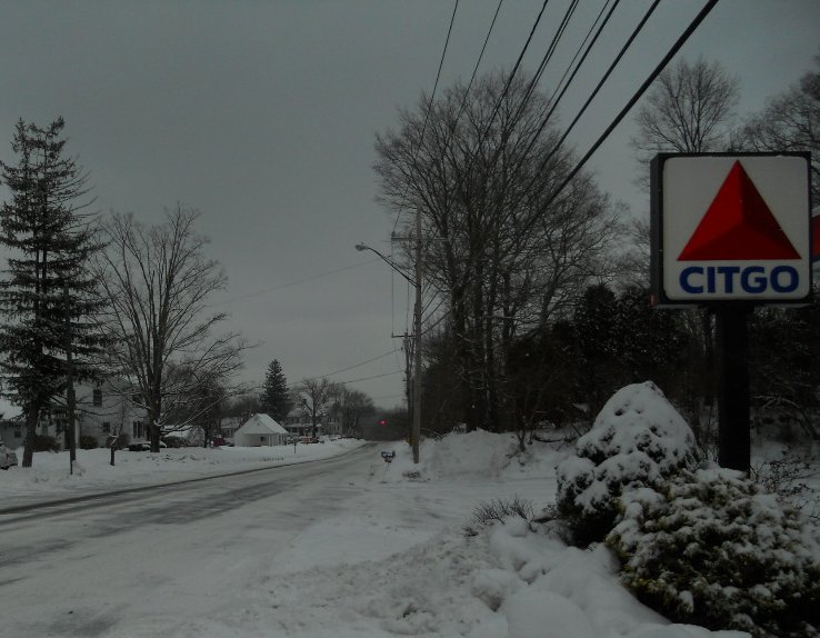
Sterling, Connecticut

Stone Wall

Plainfield Greyhound Track

Old Plainfield Cemetery

Upon the Forest Floor.

Wanton Matteson
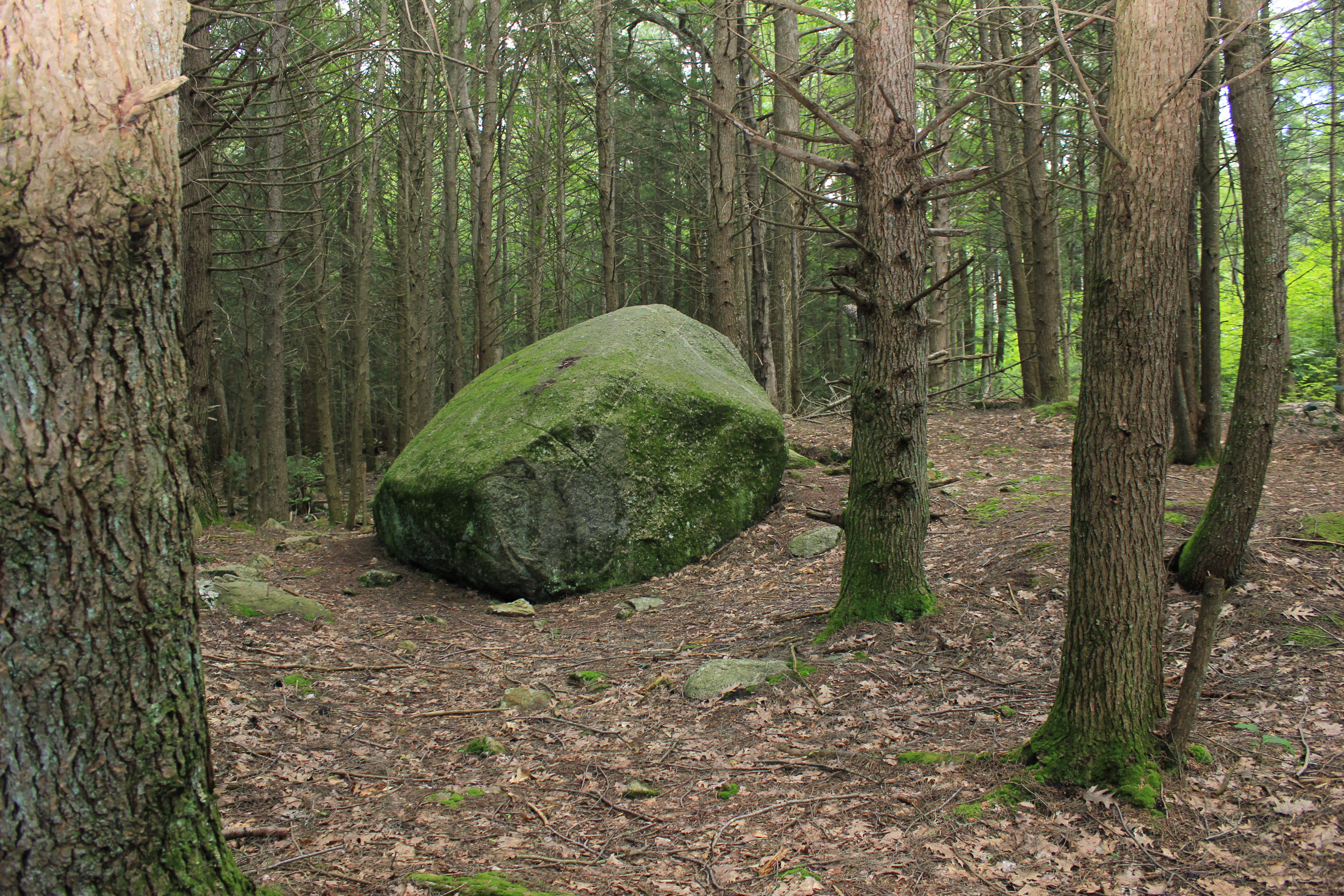
Big Rock

Panoramic View of Beach Pond from the East

Milk Cows

We Live. We Fall.

Edge of the lake

Path to Jerimoth Hill
Topographic Map of Sterling Rd, Sterling, CT, USA
Find elevation by address:

Places near Sterling Rd, Sterling, CT, USA:
2322 Plainfield Pike
Plainfield Pike, Sterling, CT, USA
548 Sterling Rd
Gibson Hill Road
Sterling
37 Ledge Hill Rd
16 Barbs Hill Rd, Coventry, RI, USA
352 Main St
362 Main St
37 Hopkins Hollow Rd, Coventry, RI, USA
Plain Woods Rd, Foster, RI, USA
253 Sand Hill Rd
Arnold Pond Dam
3 Easy St
5800 Flat River Rd
Moosup Valley Road
376 Carrs Trail
179 Valley View Rd
Sterling Hill Road
53 North Rd
Recent Searches:
- Elevation of Leguwa, Nepal
- Elevation of County Rd, Enterprise, AL, USA
- Elevation of Kolchuginsky District, Vladimir Oblast, Russia
- Elevation of Shustino, Vladimir Oblast, Russia
- Elevation of Lampiasi St, Sarasota, FL, USA
- Elevation of Elwyn Dr, Roanoke Rapids, NC, USA
- Elevation of Congressional Dr, Stevensville, MD, USA
- Elevation of Bellview Rd, McLean, VA, USA
- Elevation of Stage Island Rd, Chatham, MA, USA
- Elevation of Shibuya Scramble Crossing, 21 Udagawacho, Shibuya City, Tokyo -, Japan