Elevation of Plainfield, CT, USA
Location: United States > Connecticut > Windham County >
Longitude: -71.915073
Latitude: 41.6764876
Elevation: 62m / 203feet
Barometric Pressure: 101KPa
Elevation Map:
Satellite Map:
Related Photos:

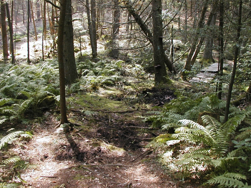
In the woods of Lisbon

This morning's view from my humble abode is still pretty but it's easy to see that my favorite season is fleeing too fast. #foliage #connecticut #igersnewengland #igersconnecticut #yankeemagazine #fall

Country view restaurant

sunflower field

fallin' silo

Eastern View of Pachaug River in Autumn

Western View of Pachaug River in Autumn

View out the window at the historic Green School in Canterbury during this week's Old Home Day meeting.

Panoramic View of Hell Hollow Pond

#14 - Another view looking down.

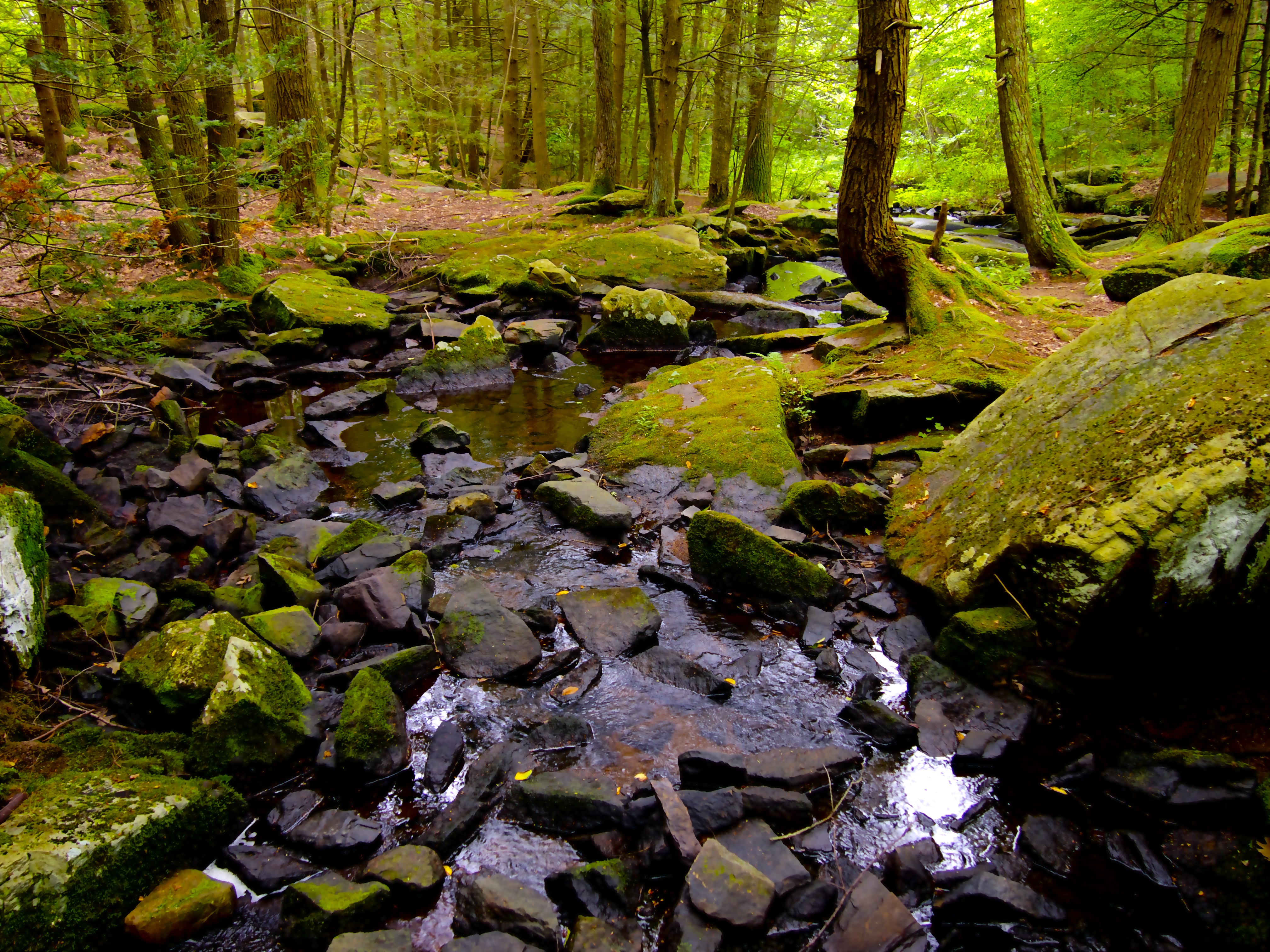
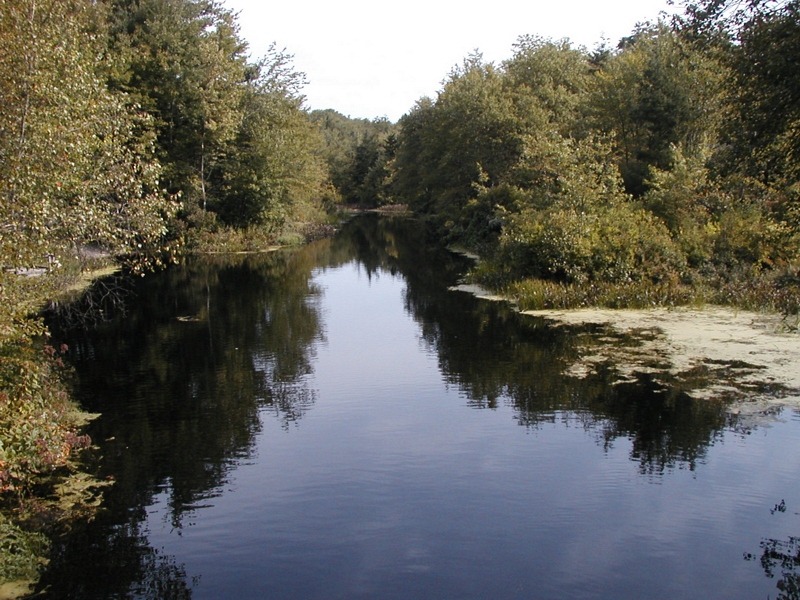
Mount Misery Brook

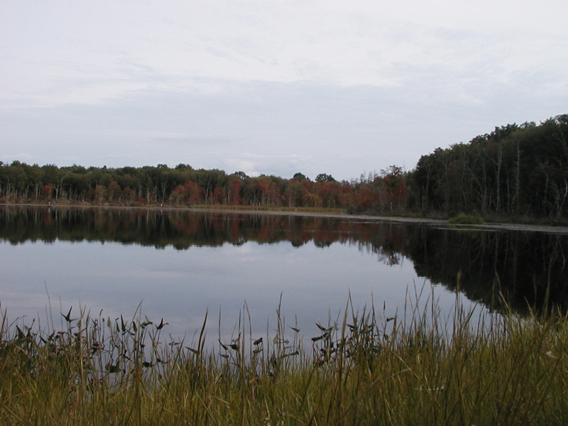
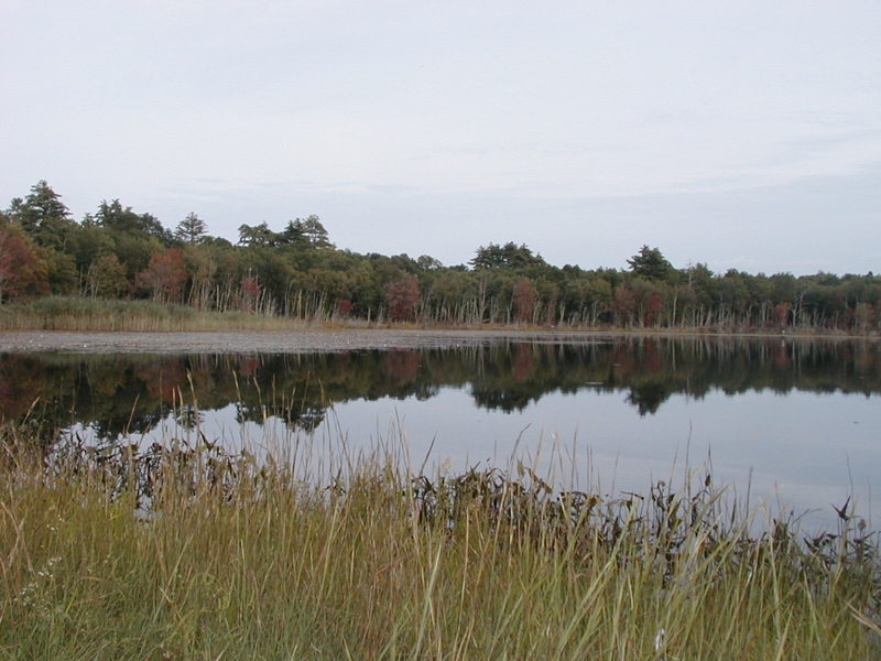
View of Beach Pond from the Former Beach

Panoramic View of Beach Pond from the East

Panoramic View from Mount Misery

tail's view

Nice View from Up There.

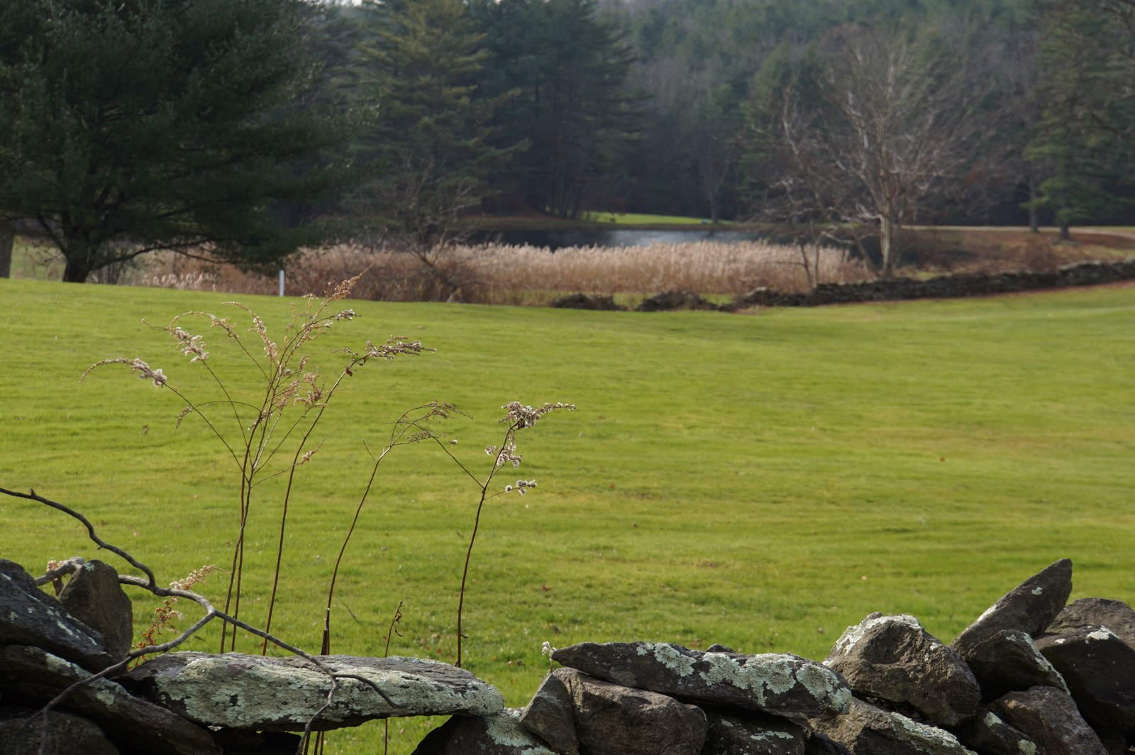
Scenic View

The Chicken
MBR 01
Bedroom 2 02
Breakfast Nook 02

Make-A-Wish

SUMMER SUNSHINE
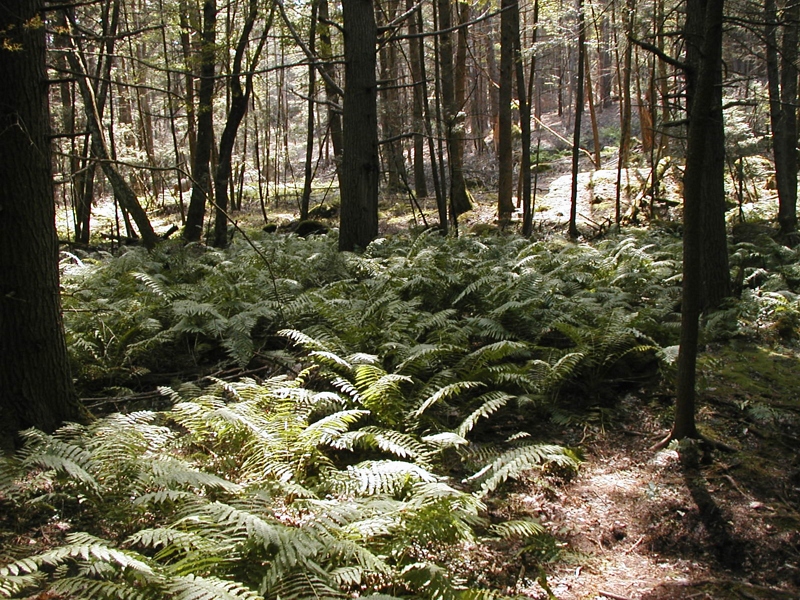
Pachaug State Forest
OLYMPUS DIGITAL CAMERA

Brooklyn CT
Upon the Forest Floor.
OLYMPUS DIGITAL CAMERA

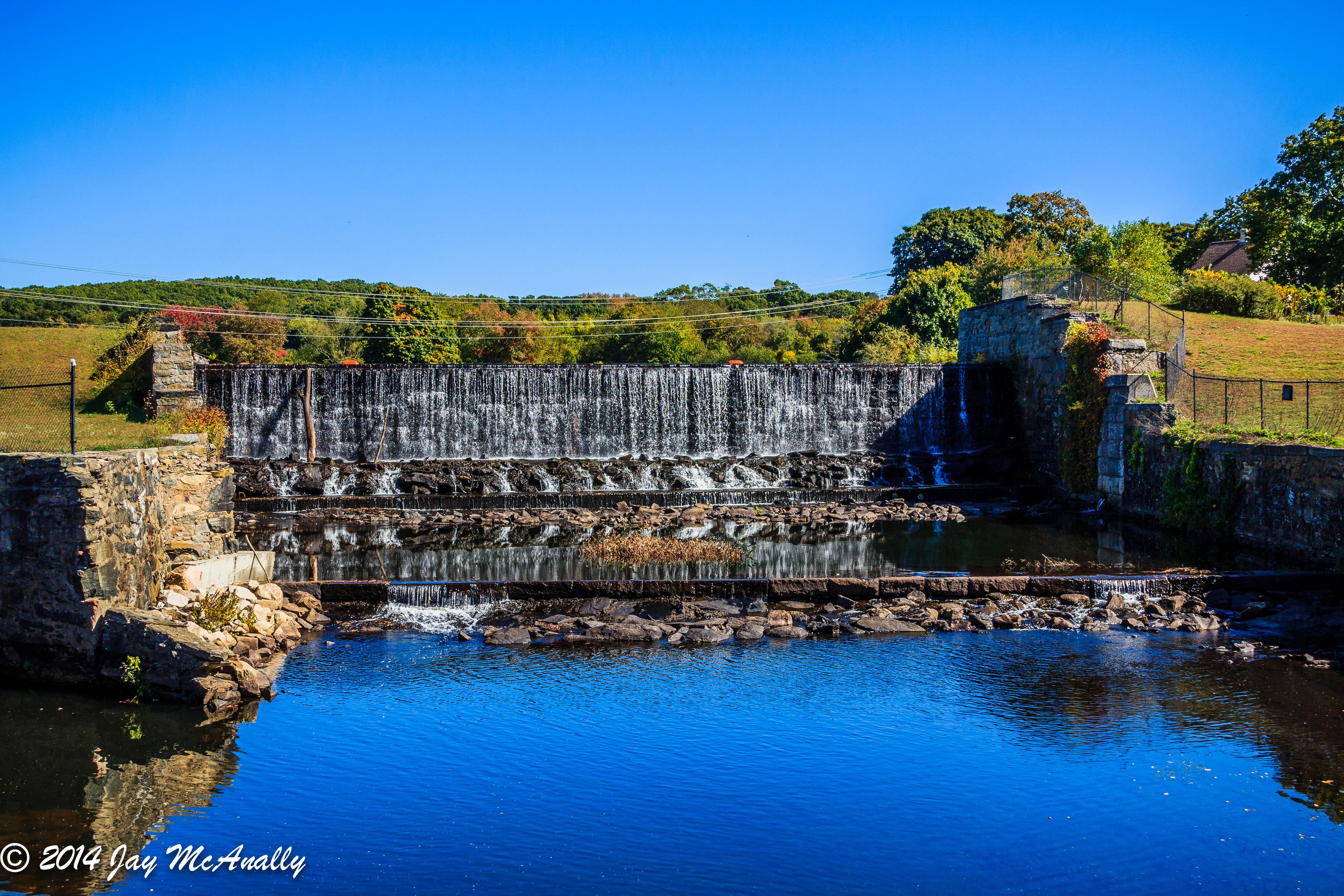
Ashland Pond Dam #4
OLYMPUS DIGITAL CAMERA

Hopeville Pond
OLYMPUS DIGITAL CAMERA

Milk Cows
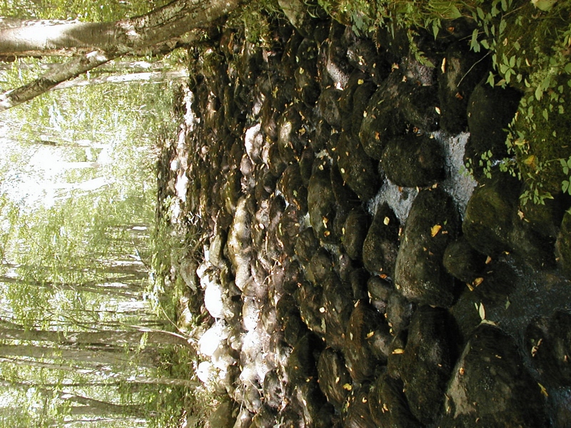
Ashland Pond Dam #3
OLYMPUS DIGITAL CAMERA
OLYMPUS DIGITAL CAMERA

New England 2013

Brooklyn CT
Brooklyn CT

Meet Me at the Top

Downstream from Stepstone Falls, Rhode Island

Sun and Flower
Topographic Map of Plainfield, CT, USA
Find elevation by address:

Places in Plainfield, CT, USA:
Places near Plainfield, CT, USA:
263 Starkweather Rd
42 Packer Rd, Canterbury, CT, USA
13 Putnam Rd, Central Village, CT, USA
Central Village
297 Black Hill Rd
Moosup
Sterling Hill Road
18 Lester Dr
Bergeron Limited
Canterbury
Putnam Road
35 Depot Rd, Danielson, CT, USA
49 Maynard Rd
Wauregan Rd, Brooklyn, CT, USA
37 Ledge Hill Rd
616 Squaw Rock Rd
Sterling
532 Wauregan Rd
414 Canterbury Rd
362 Main St
Recent Searches:
- Elevation of Côte-des-Neiges, Montreal, QC H4A 3J6, Canada
- Elevation of Bobcat Dr, Helena, MT, USA
- Elevation of Zu den Ihlowbergen, Althüttendorf, Germany
- Elevation of Badaber, Peshawar, Khyber Pakhtunkhwa, Pakistan
- Elevation of SE Heron Loop, Lincoln City, OR, USA
- Elevation of Slanický ostrov, 01 Námestovo, Slovakia
- Elevation of Spaceport America, Co Rd A, Truth or Consequences, NM, USA
- Elevation of Warwick, RI, USA
- Elevation of Fern Rd, Whitmore, CA, USA
- Elevation of 62 Abbey St, Marshfield, MA, USA