Elevation of 18 Lester Dr, Central Village, CT, USA
Location: United States > Connecticut > Windham County > Plainfield > Central Village >
Longitude: -71.899771
Latitude: 41.7269365
Elevation: 88m / 289feet
Barometric Pressure: 100KPa
Elevation Map:
Satellite Map:
Related Photos:

In the woods of Lisbon
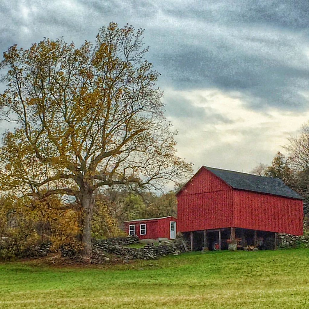
Definitely one of my favorite views on Scenic Route 169 in the Quiet Corner town of Canterbury. I know I've posted photos of this barn and tree before but they're truly a four-season photo stop! @thelastgreenvalley @visitct #canterburyct #route169 #thequi

This morning's view from my humble abode is still pretty but it's easy to see that my favorite season is fleeing too fast. #foliage #connecticut #igersnewengland #igersconnecticut #yankeemagazine #fall

View out the window at the historic Green School in Canterbury during this week's Old Home Day meeting.

Country view restaurant

fallin' fields
tail's view

Mount Misery Brook
View from Deck 02

Panoramic View from Mount Misery
Hometown&Work

The Chicken

MBR 01

Bedroom 2 02

Breakfast Nook 02

View from Deck 01

Christmas Tree 2015

Living Room 02
MBATH 01

From Kitchen to LR

0U1A2996 Joseph Roode Farm Cemetery 41.63712 -71.94189

Scotland, Connecticut

Goodwin State Park | Hampton, CT

Goodwin State Park | Hampton, CT
Goodwin State Park | Hampton, CT

Storm's comin'

Photo 10-22-18, 10 24 16

Pachaug State Forest

Early morning twilight

pachaug at sunset
Brooklyn CT

New England 2013
OLYMPUS DIGITAL CAMERA
OLYMPUS DIGITAL CAMERA

New England 2013

OLYMPUS DIGITAL CAMERA

Silhouettes After #tree #fall #cloud #cloudporn #sky #skyporn #igers #igers_philly #vsco #vscocam

OLYMPUS DIGITAL CAMERA

Hopeville Pond

Milk Cows

Brooklyn CT

Panoramic View of Hell Hollow Pond
Topographic Map of 18 Lester Dr, Central Village, CT, USA
Find elevation by address:

Places near 18 Lester Dr, Central Village, CT, USA:
Central Village
13 Putnam Rd, Central Village, CT, USA
35 Depot Rd, Danielson, CT, USA
Putnam Road
Moosup
49 Maynard Rd
Wauregan Rd, Brooklyn, CT, USA
Sterling Hill Road
263 Starkweather Rd
532 Wauregan Rd
616 Squaw Rock Rd
Plainfield
Danielson, Ct
93 Bailey Woods Rd
297 Black Hill Rd
414 Canterbury Rd
17 Franklin Dr
362 Main St
Danielson, CT, USA
44 Ventura Dr, Brooklyn, CT, USA
Recent Searches:
- Elevation of Luther Road, Luther Rd, Auburn, CA, USA
- Elevation of Unnamed Road, Respublika Severnaya Osetiya — Alaniya, Russia
- Elevation of Verkhny Fiagdon, North Ossetia–Alania Republic, Russia
- Elevation of F. Viola Hiway, San Rafael, Bulacan, Philippines
- Elevation of Herbage Dr, Gulfport, MS, USA
- Elevation of Lilac Cir, Haldimand, ON N3W 2G9, Canada
- Elevation of Harrod Branch Road, Harrod Branch Rd, Kentucky, USA
- Elevation of Wyndham Grand Barbados Sam Lords Castle All Inclusive Resort, End of Belair Road, Long Bay, Bridgetown Barbados
- Elevation of Iga Trl, Maggie Valley, NC, USA
- Elevation of N Co Rd 31D, Loveland, CO, USA