Elevation of MO-25, Advance, MO, USA
Location: United States > Missouri > Cape Girardeau County > Welch Township >
Longitude: -89.804681
Latitude: 37.1581172
Elevation: 102m / 335feet
Barometric Pressure: 100KPa
Elevation Map:
Satellite Map:
Related Photos:
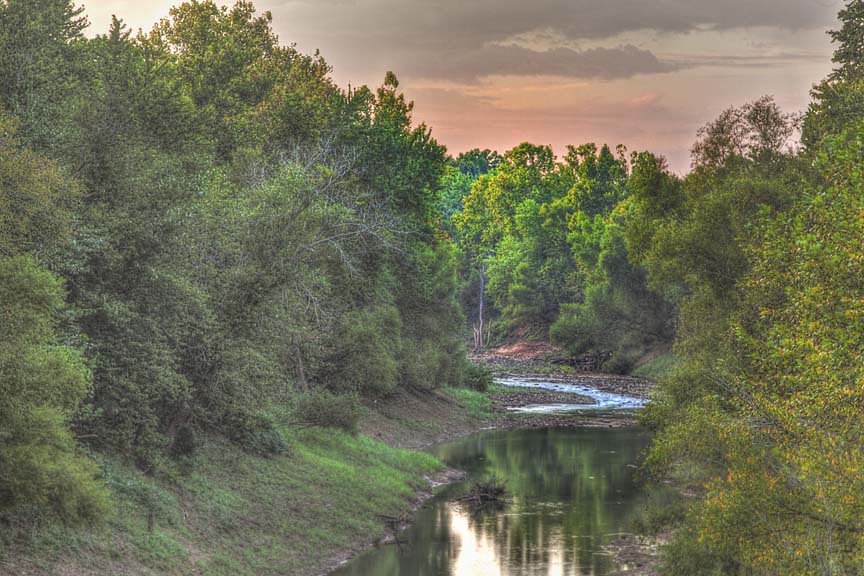
Whitewater River
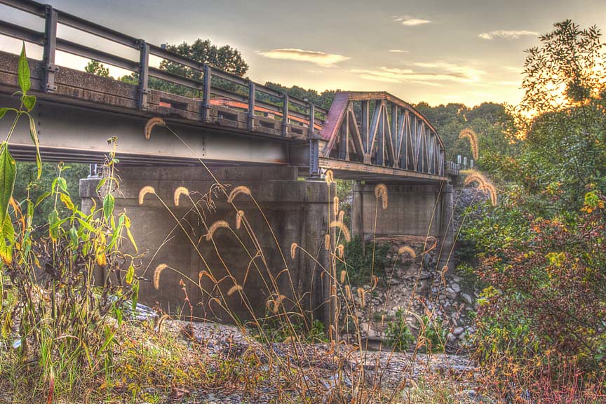
Bridge Over the Whitewater River
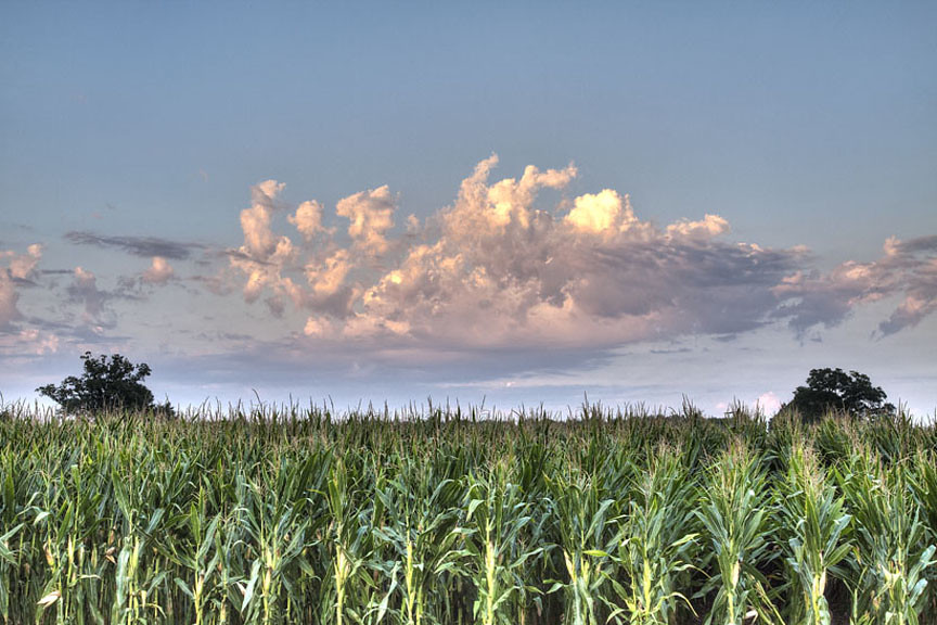
Clouds over corn
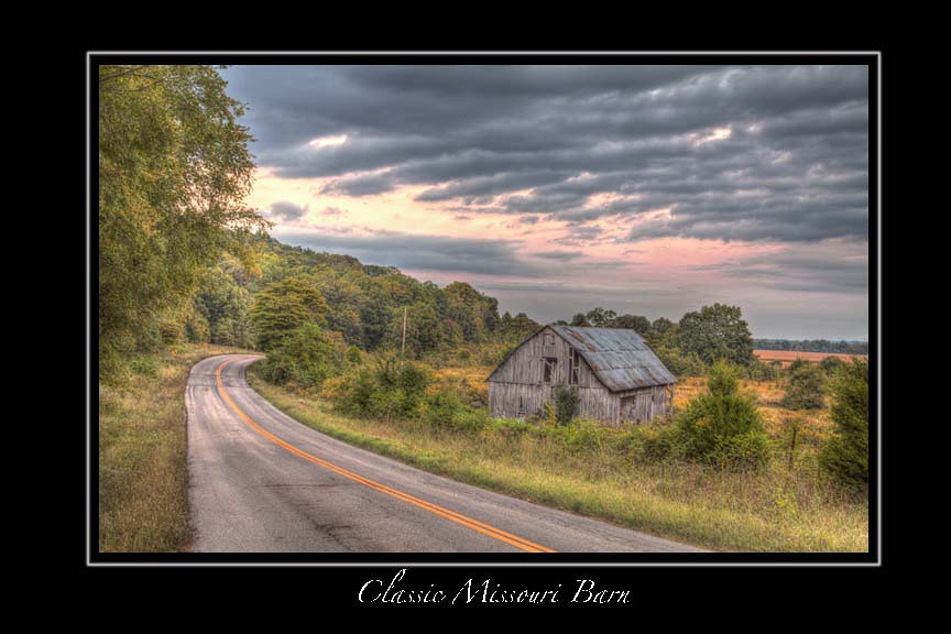
Classic Missour Barn

Brand new life

Fall Hike

N/B BNSF #6860

BNSF Train C-NAMNMA0-83

Goodman History
Southeastern MO

Brand new life

Brand new life

Brand new life

Brand new life

Brand new life

Brand new life

Southeastern MO

Country Club

Shagbark Hickory Tree near Lake Girardeau, in Cape Girardeau County in Southeast Missouri

Goodman History

Goodman History
Topographic Map of MO-25, Advance, MO, USA
Find elevation by address:

Places near MO-25, Advance, MO, USA:
Welch Township
Whitewater
1950 Co Rd 241
1950 Co Rd 241
3061 Co Rd 241
Co Rd, Whitewater, MO, USA
442 Co Rd 241
MO-77, Oran, MO, USA
Sylvania Township
Hubble Township
Chaffee
Oran
Dutchtown
Co Rd, Chaffee, MO, USA
Co Rd, Advance, MO, USA
Vanduser
State Hwy A, Chaffee, MO, USA
Scott County
County Road 241
Marble Hill
Recent Searches:
- Elevation of Corso Fratelli Cairoli, 35, Macerata MC, Italy
- Elevation of Tallevast Rd, Sarasota, FL, USA
- Elevation of 4th St E, Sonoma, CA, USA
- Elevation of Black Hollow Rd, Pennsdale, PA, USA
- Elevation of Oakland Ave, Williamsport, PA, USA
- Elevation of Pedrógão Grande, Portugal
- Elevation of Klee Dr, Martinsburg, WV, USA
- Elevation of Via Roma, Pieranica CR, Italy
- Elevation of Tavkvetili Mountain, Georgia
- Elevation of Hartfords Bluff Cir, Mt Pleasant, SC, USA