Elevation of Cape Girardeau County, MO, USA
Location: United States > Missouri >
Longitude: -89.625164
Latitude: 37.3821319
Elevation: 160m / 525feet
Barometric Pressure: 99KPa
Elevation Map:
Satellite Map:
Related Photos:
Bollinger Mill
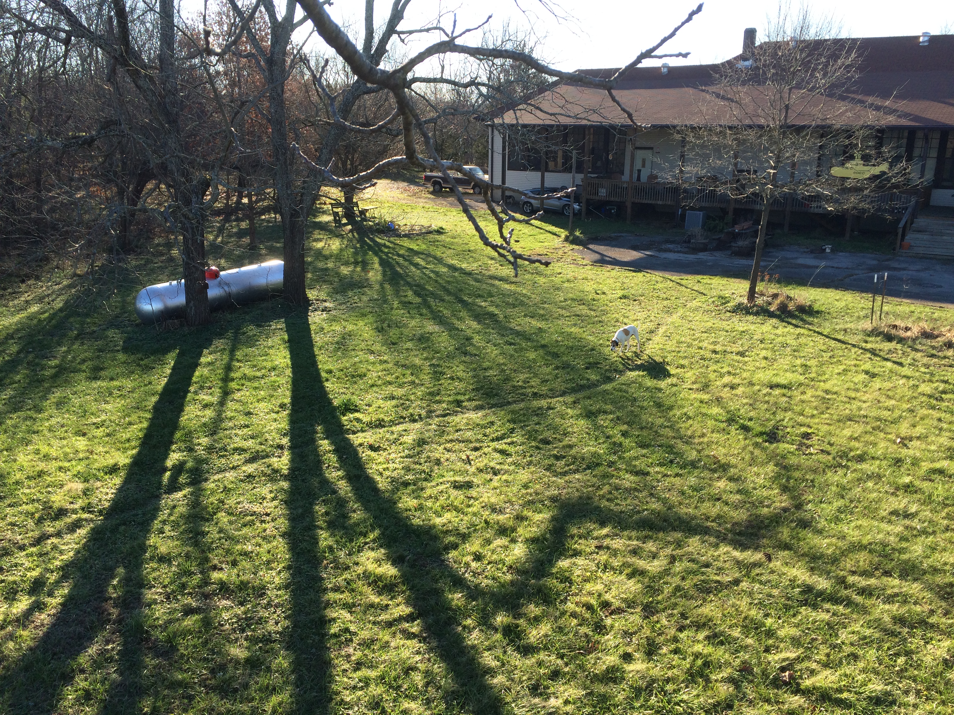
View from the treehouse
View from the watertower
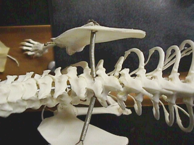
Cat skeleton
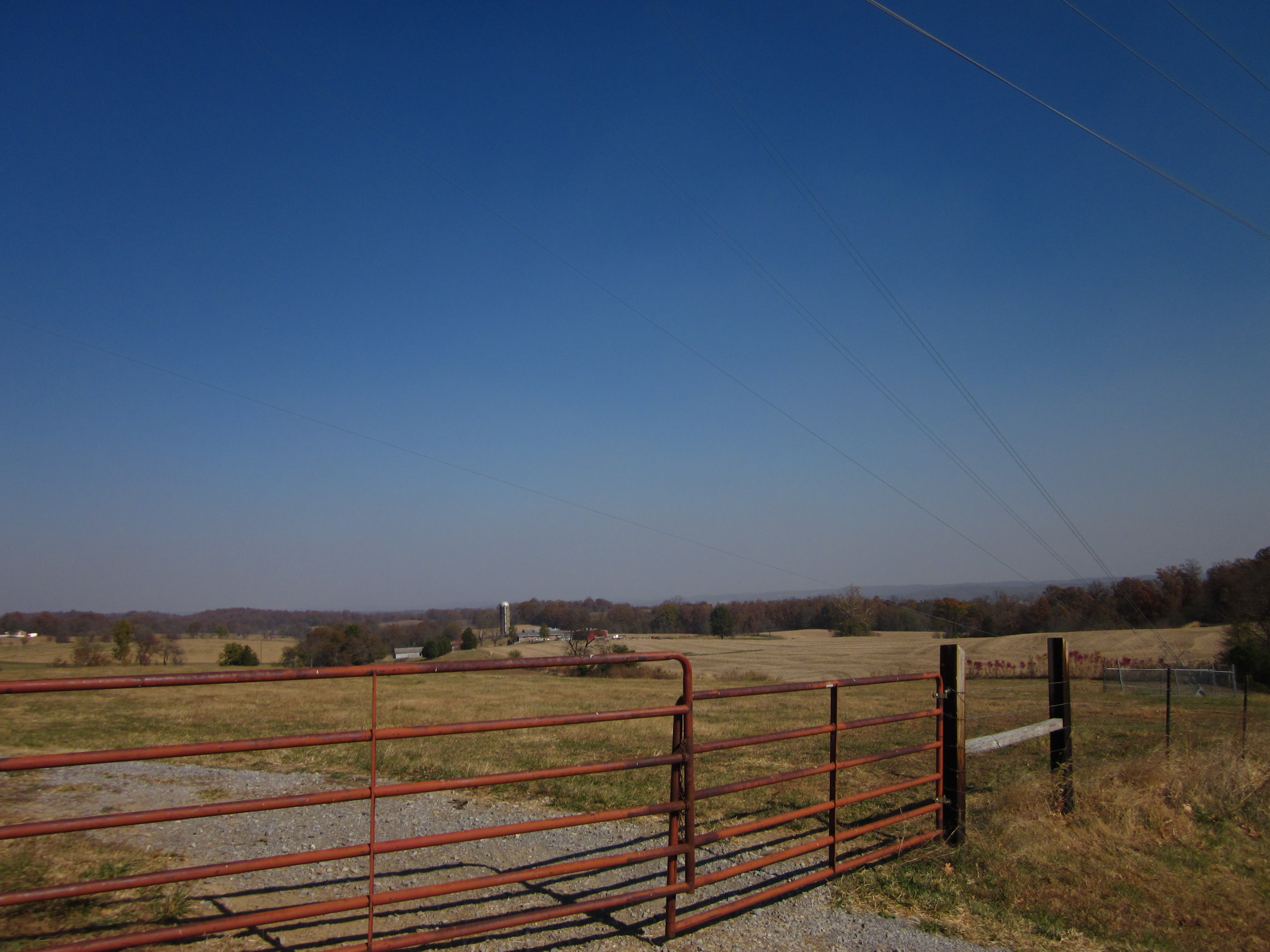
View toward Oak Ridge
View from the treehouse
Panoramic View Southwest of East Wing (left) and West Wing (Right)
View North of Front Facade
Northeast View of Southwest Corner

Distant View North from Arena Park
0004_South View of East Wing
Capaha Park In Cape Girardeau MO
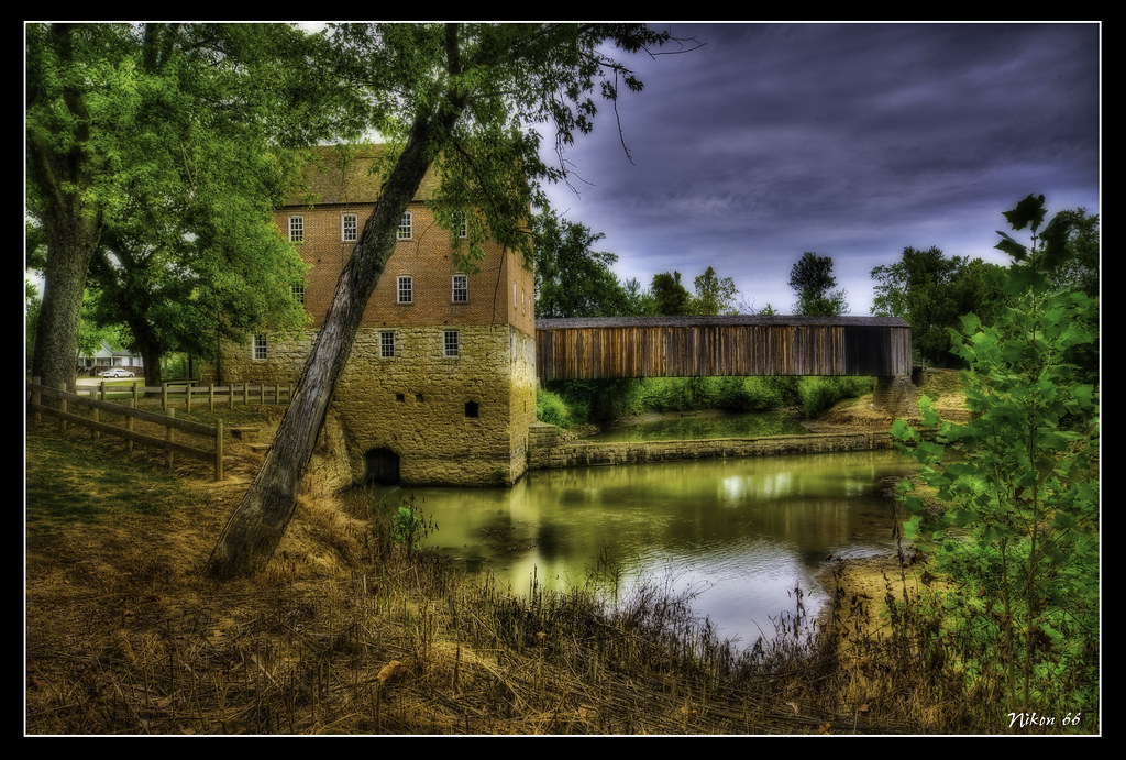
Burfordville Covered Bridge

Capaha Park Fall 2009 2
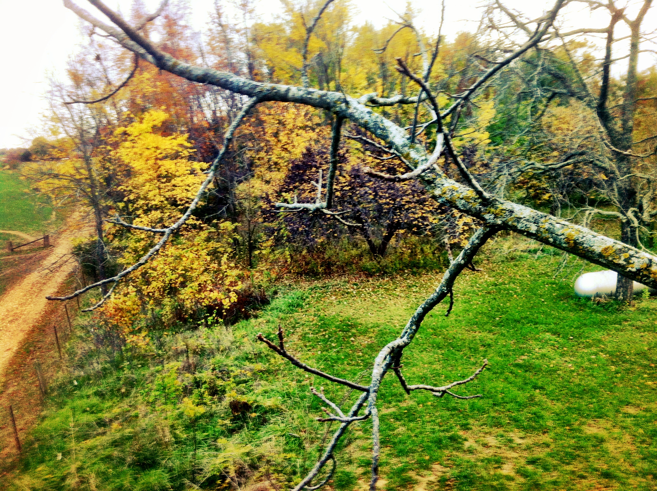
Views from the treehouse

Common Pleas Courthouse
Views from the treehouse

Splicing repression
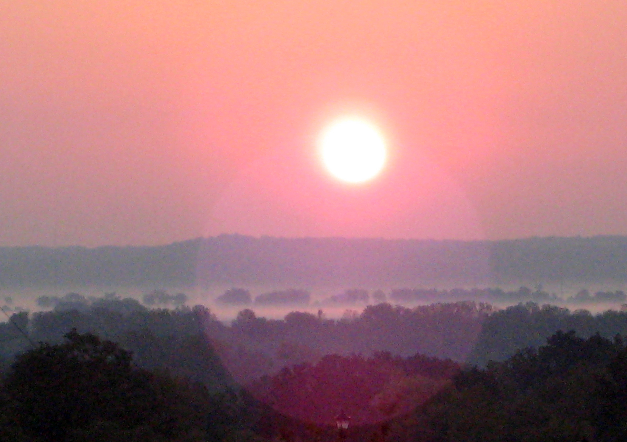
Sunrise over Illinois
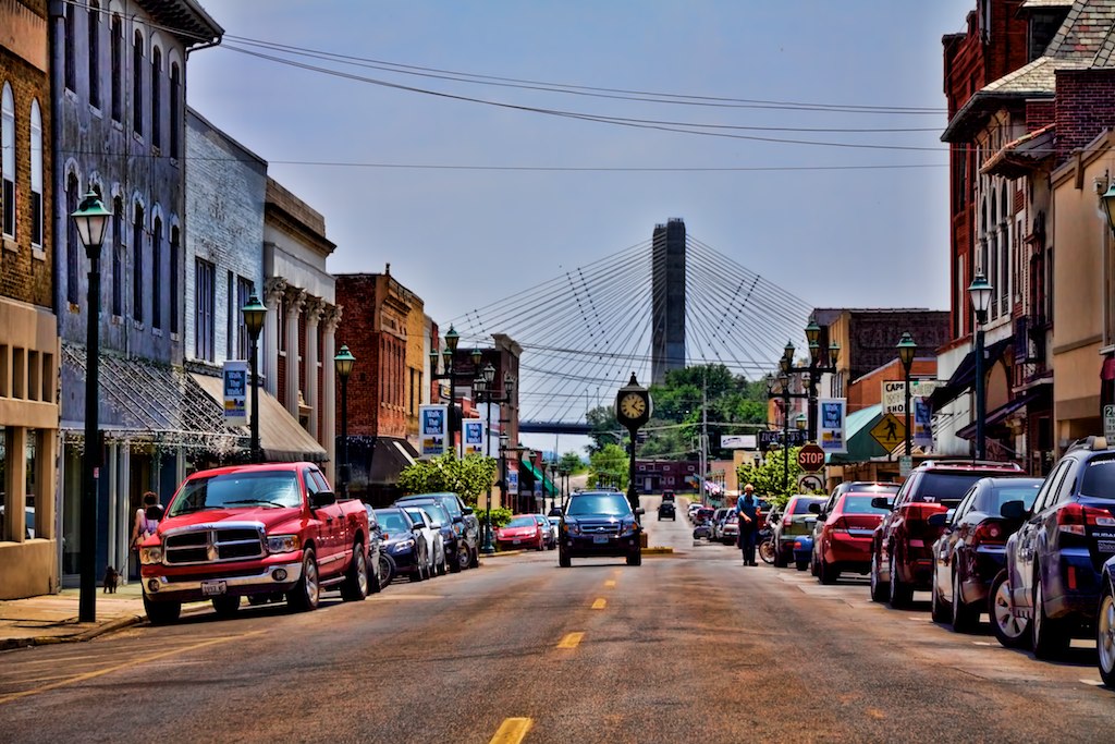
2011-05-28 - Cape Girardeau, MO
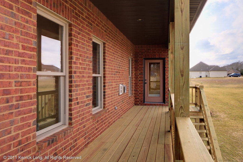
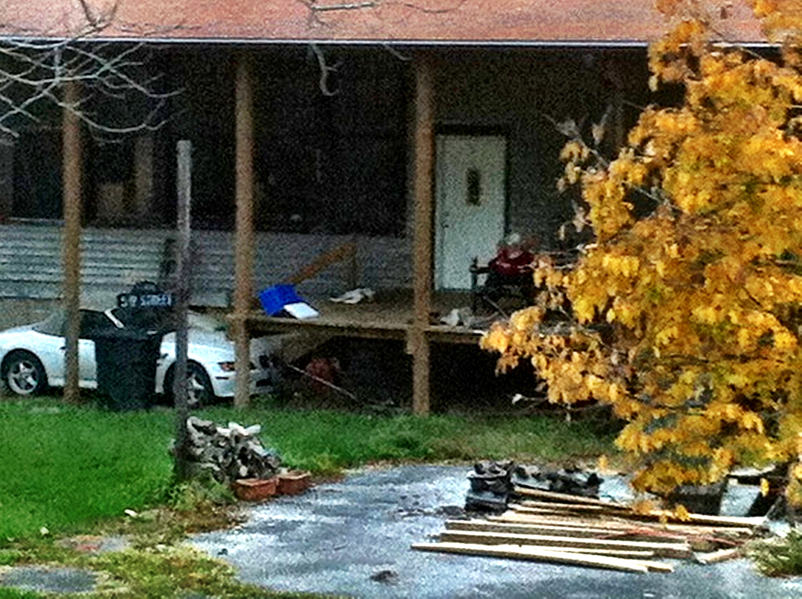
66424 - Deck View
Cartoon skies over a Missouri scene
Missouri Morning
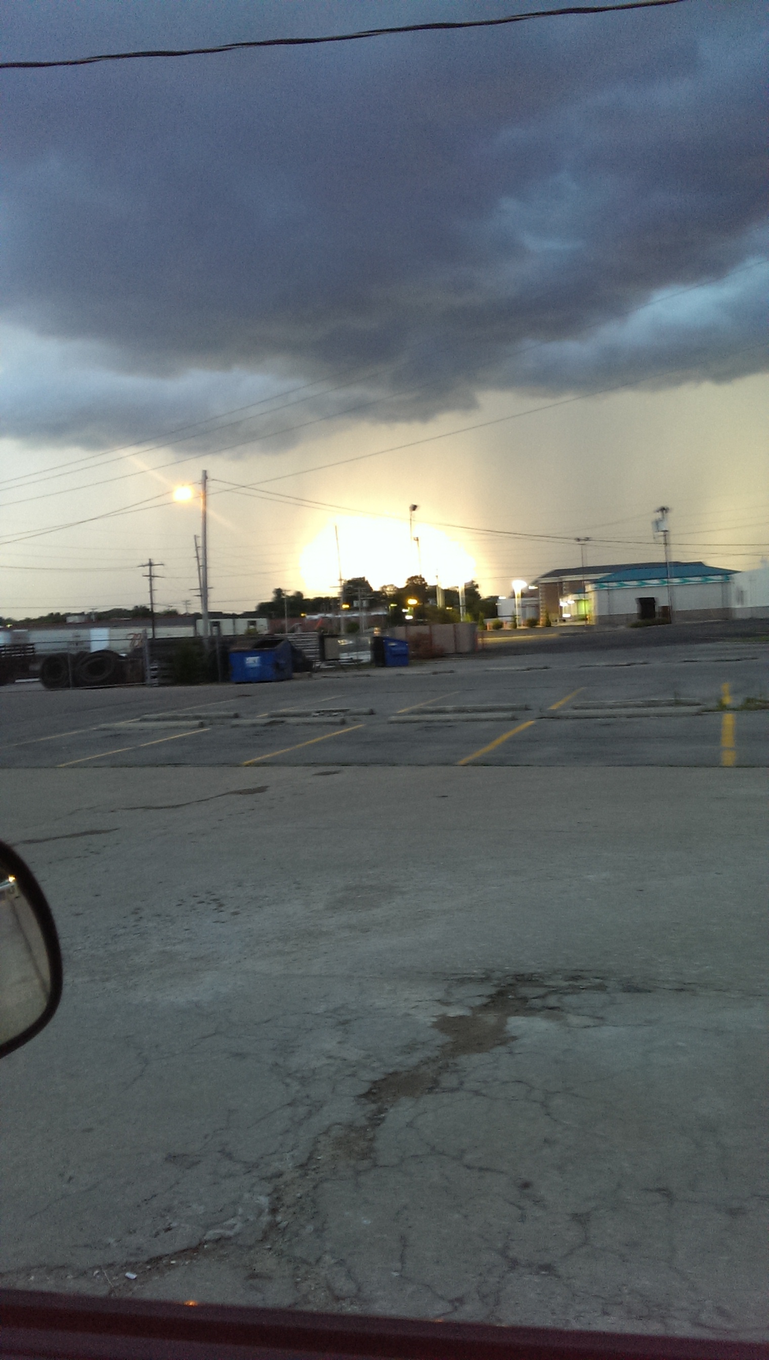
Stormy Easter Evening
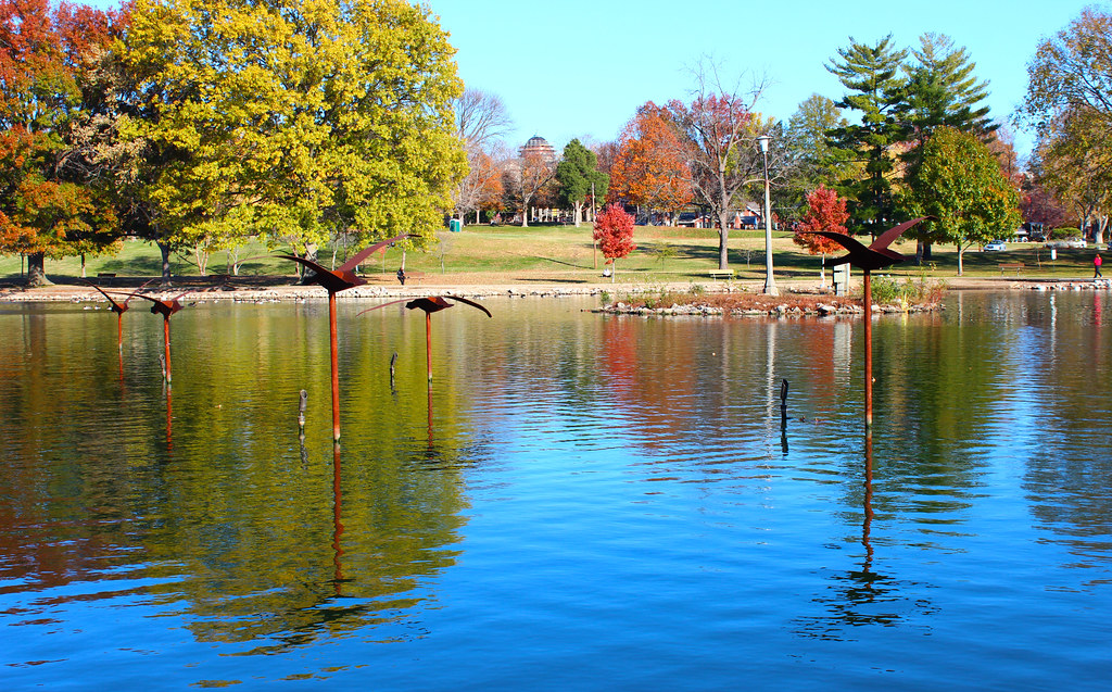
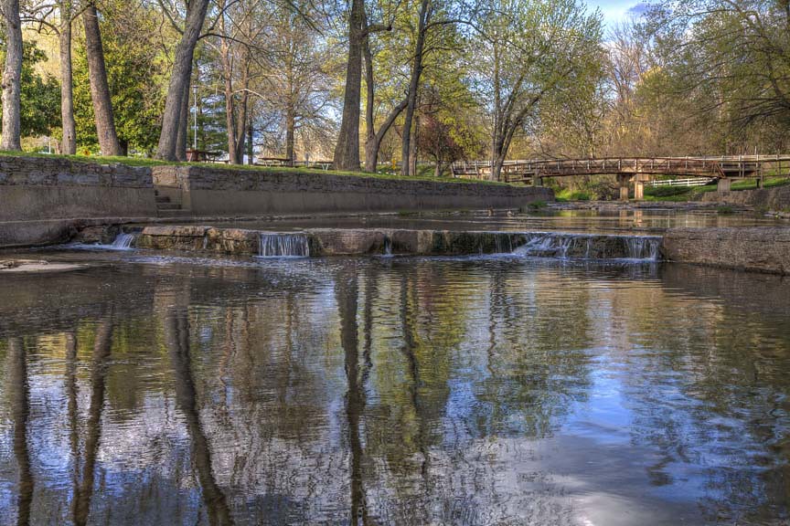
Capaha Park Pond
Spring Afternoon
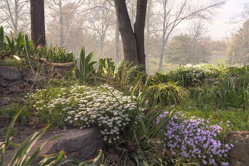
Flowers on the wall
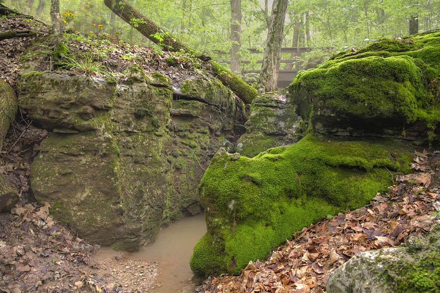
The beauty is in Mosses.
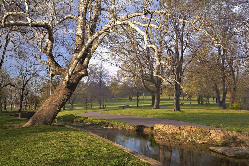
Spring in the Park
A walk in the Park

Burfordville Covered Bridge
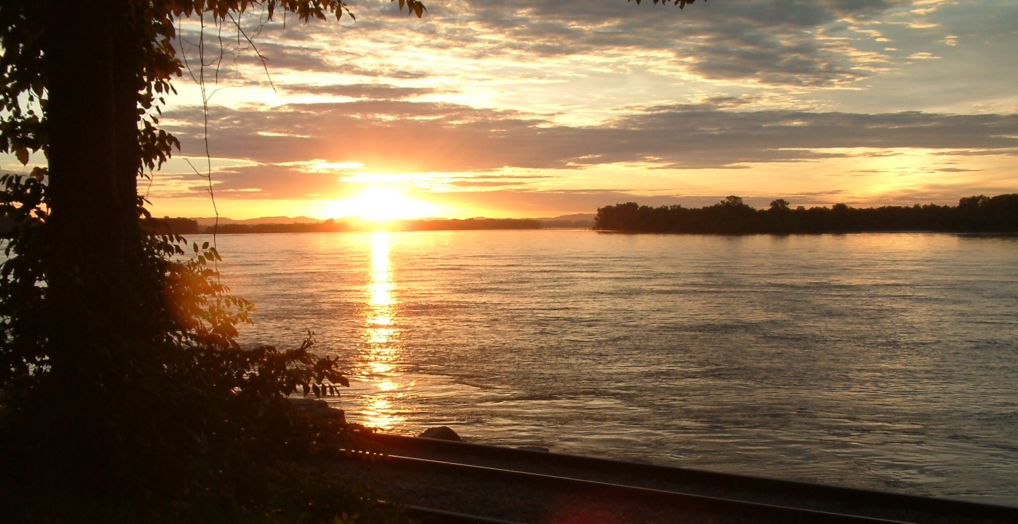
Mississippi River Sunrise 31 June 7, 2010

Sun Down 2
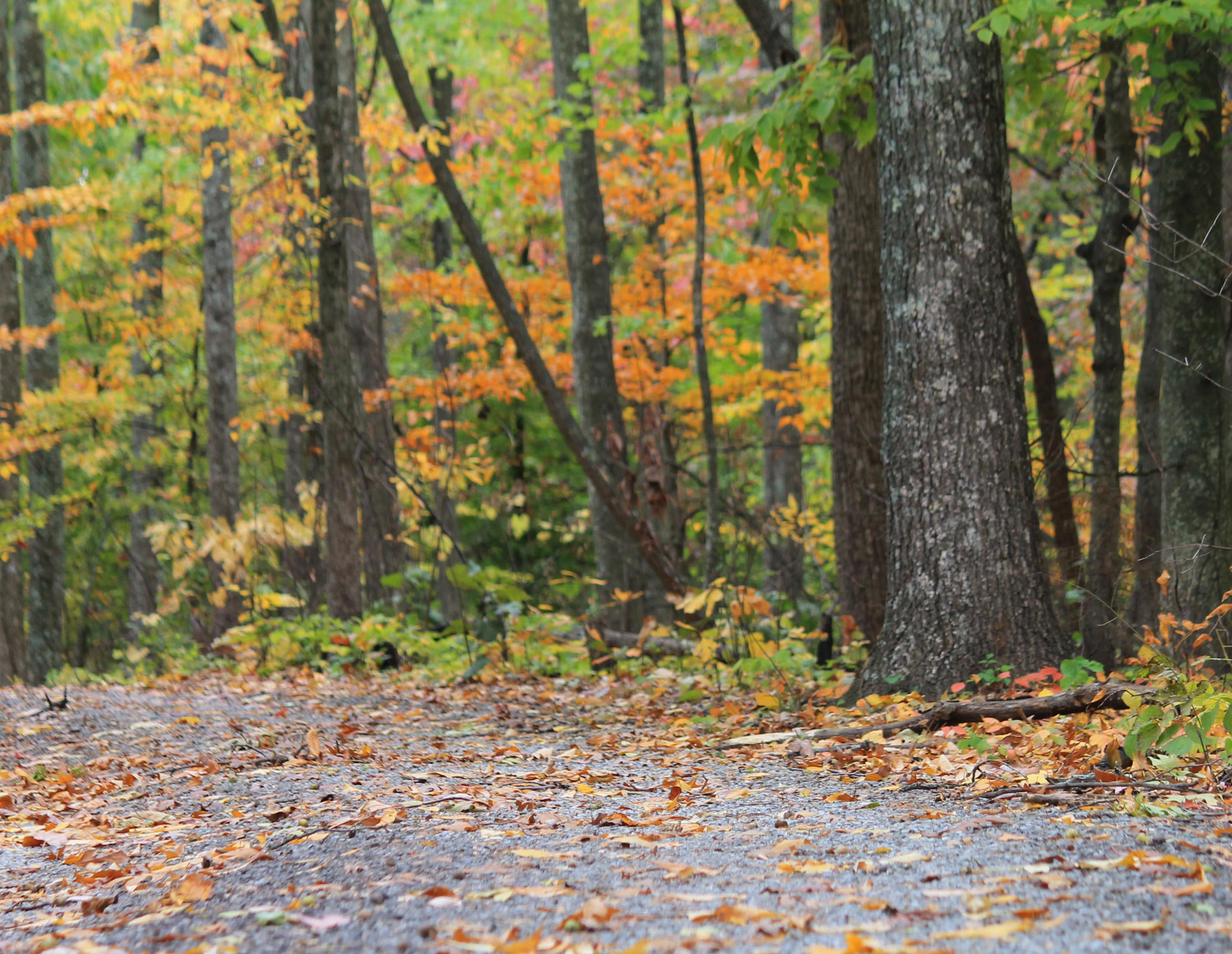
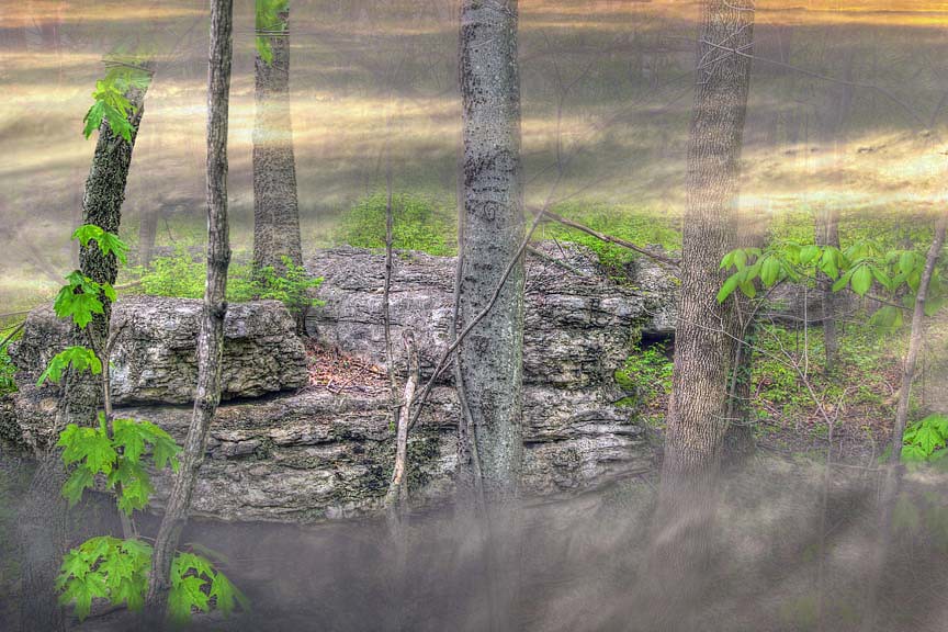
Autumn Trail
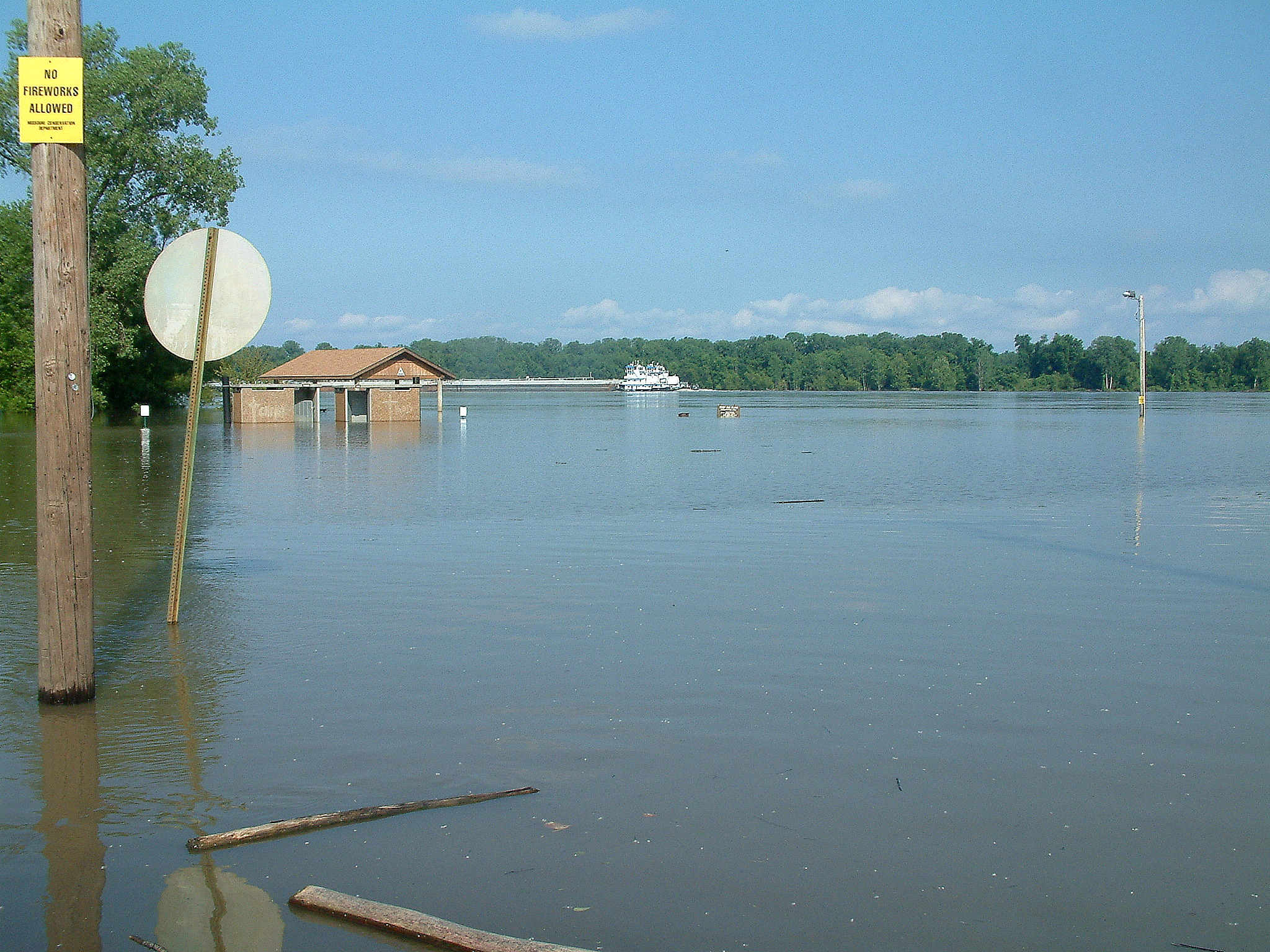
Flooding July 4, 2011 Red Star Access 1
Come slowly, Eden!
Storm Rolling In.
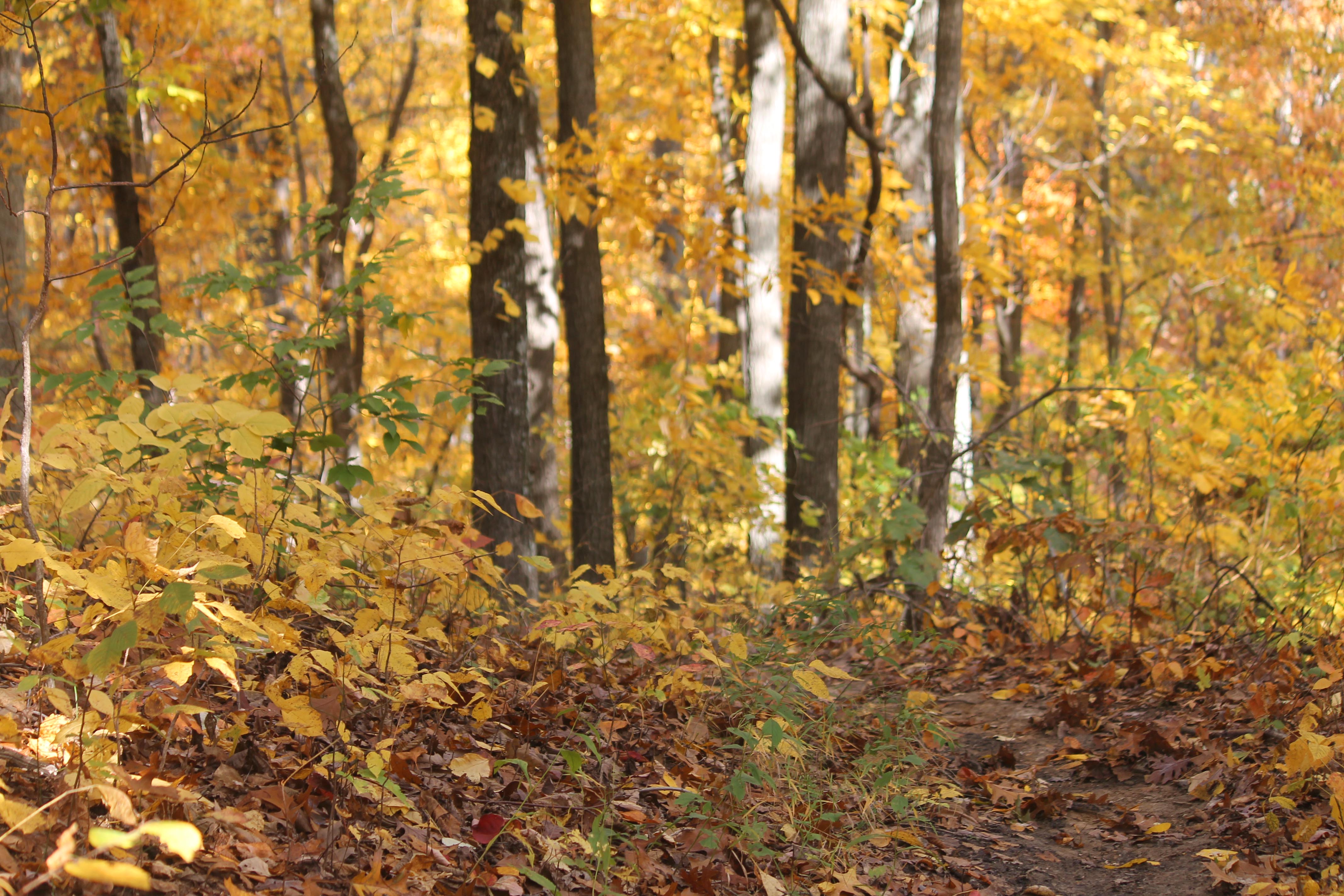
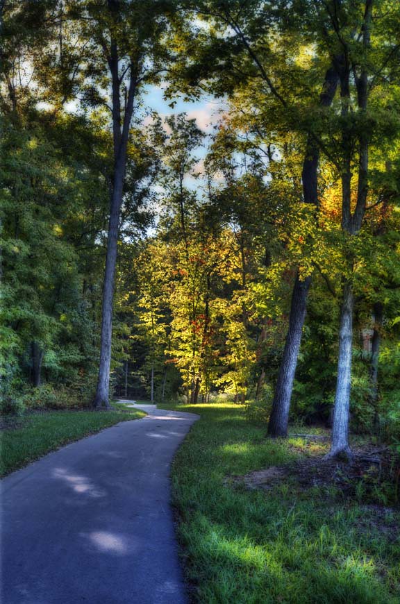
Fall Path
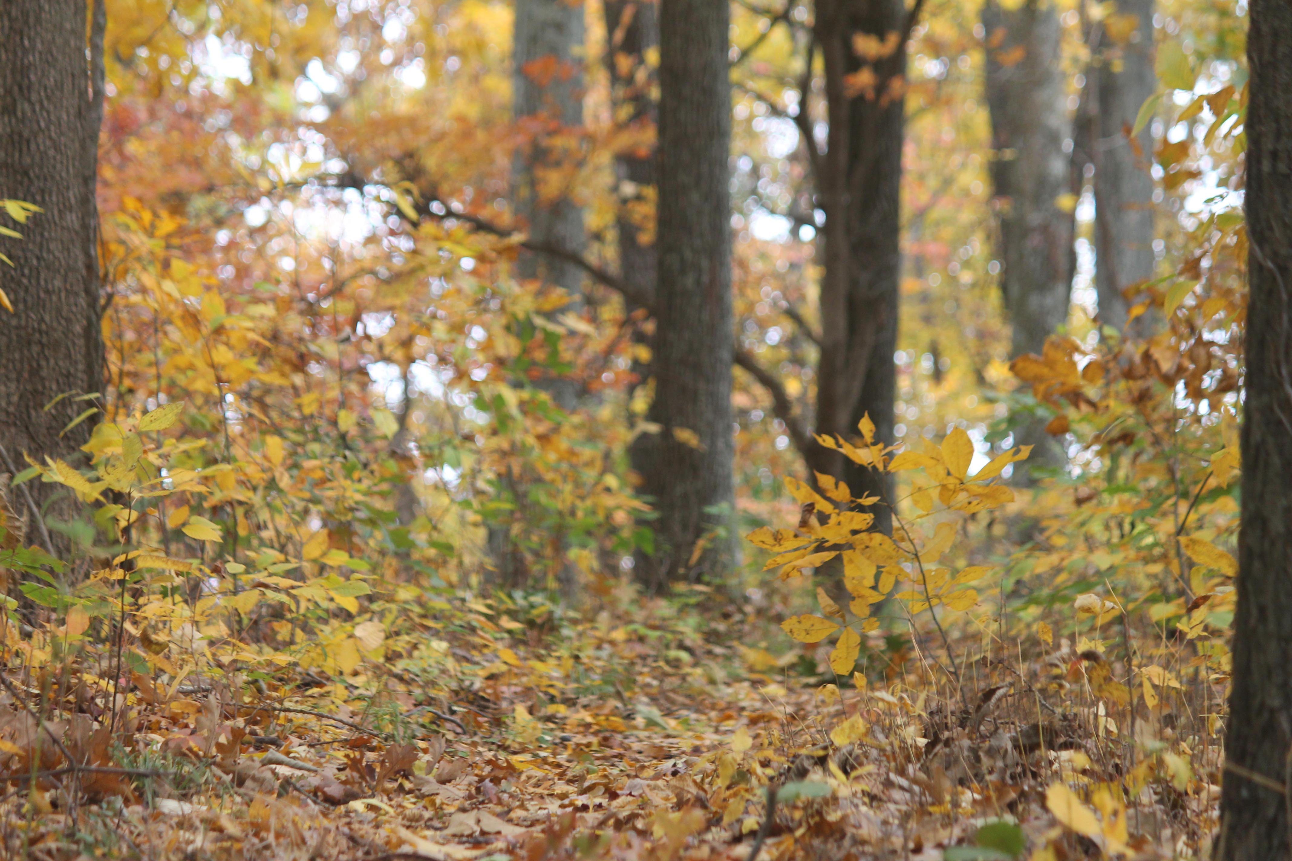
Fall Path
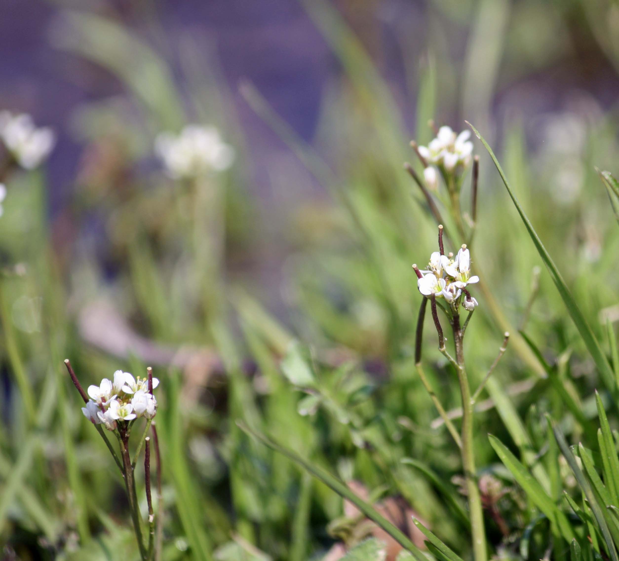
Whitlow Grass
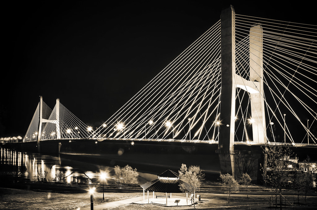
'Crossing Into The Night' ~ Cape Girardeau, MO
Topographic Map of Cape Girardeau County, MO, USA
Find elevation by address:

Places in Cape Girardeau County, MO, USA:
Hubble Township
Apple Creek Township
Cape Girardeau Township
Welch Township
Whitewater Township
Shawnee Township
Byrd Township
Co Rd, Whitewater, MO, USA
Dutchtown
Places near Cape Girardeau County, MO, USA:
200 N Lacey St
820 Silverado Trail
3902 Eagle Ridge Dr
Old Hanover Cemetery
815 Rodney Vista Blvd
1607 Bertling St
Cape Central Junior High School
630 N Sunset Blvd
630 N Sunset Blvd
Luce Street
711 S Mt Auburn Rd
Dalhousie Golf Club
1515 N Sprigg St
Southeast Missouri State University
900 Normal Ave
Cape Girardeau Township
Fort Hope Apartments
Cape Girardeau, MO, USA
400 Broadway St
331 Main St
Recent Searches:
- Elevation of Corso Fratelli Cairoli, 35, Macerata MC, Italy
- Elevation of Tallevast Rd, Sarasota, FL, USA
- Elevation of 4th St E, Sonoma, CA, USA
- Elevation of Black Hollow Rd, Pennsdale, PA, USA
- Elevation of Oakland Ave, Williamsport, PA, USA
- Elevation of Pedrógão Grande, Portugal
- Elevation of Klee Dr, Martinsburg, WV, USA
- Elevation of Via Roma, Pieranica CR, Italy
- Elevation of Tavkvetili Mountain, Georgia
- Elevation of Hartfords Bluff Cir, Mt Pleasant, SC, USA