Elevation of Co Rd, Whitewater, MO, USA
Location: United States > Missouri > Cape Girardeau County >
Longitude: -89.828898
Latitude: 37.27938
Elevation: 123m / 404feet
Barometric Pressure: 100KPa
Elevation Map:
Satellite Map:
Related Photos:

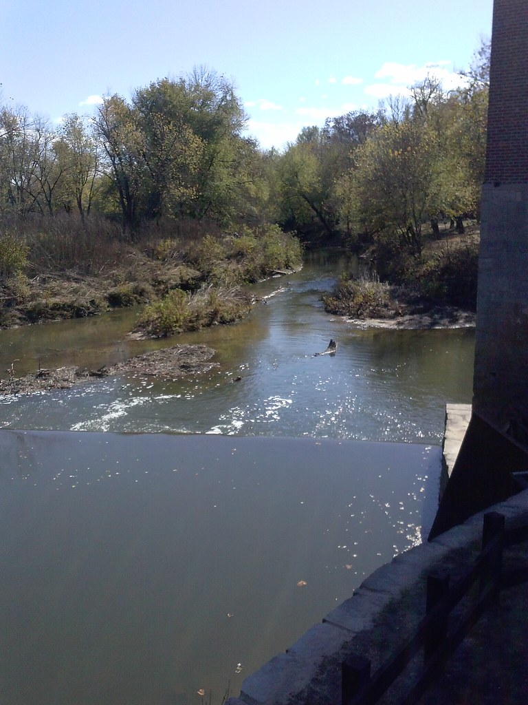
Whitewater River

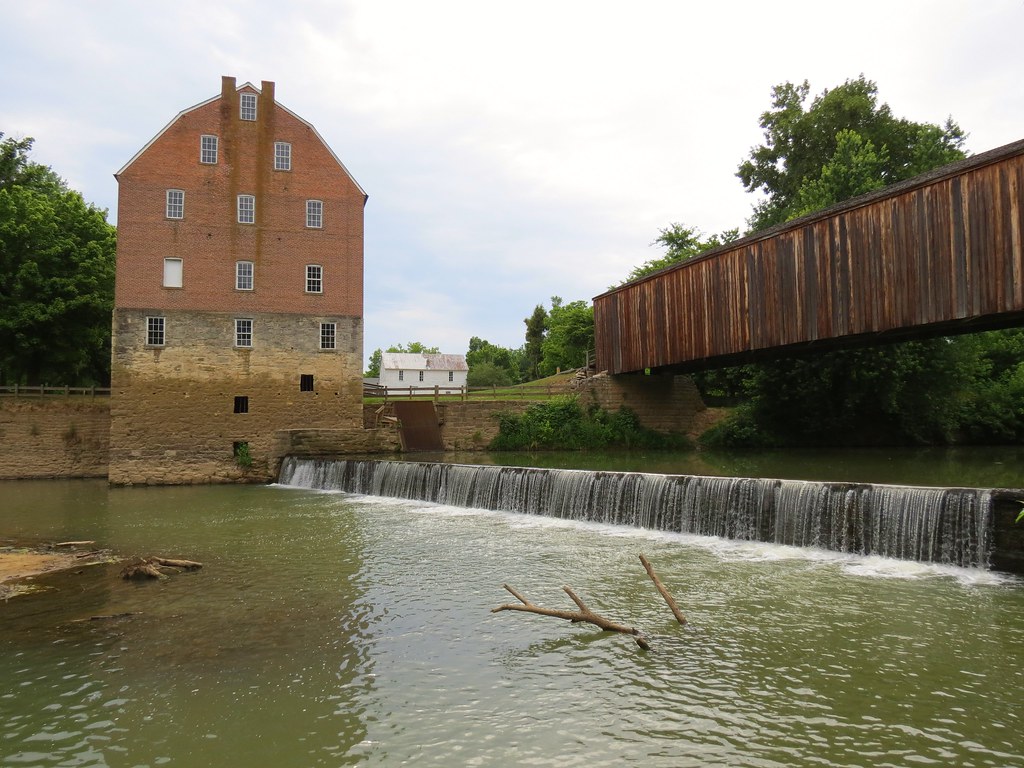
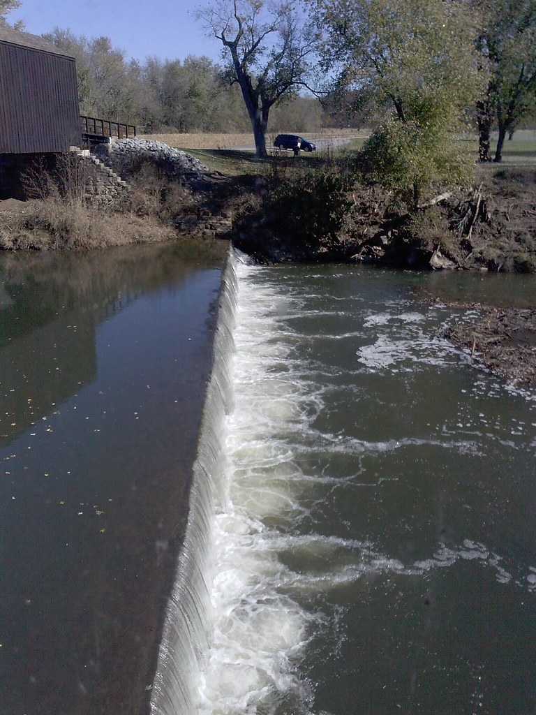
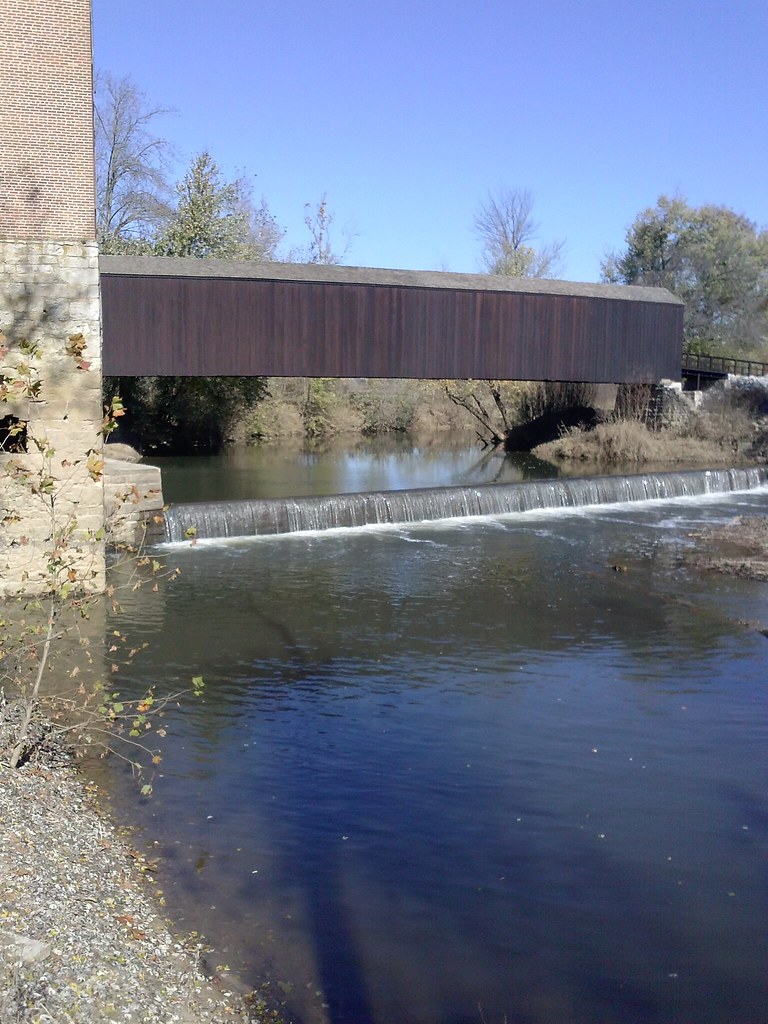
Bridge Over the Whitewater River
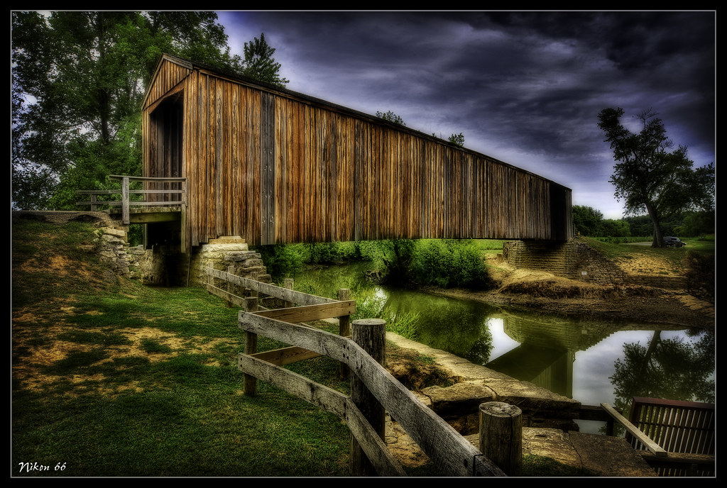
Burfordville Covered Bridge
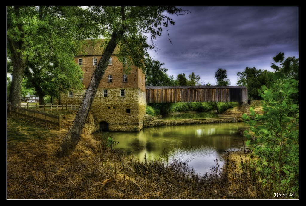
Bollinger Mill

Burfordville Covered Bridge

Clouds over corn
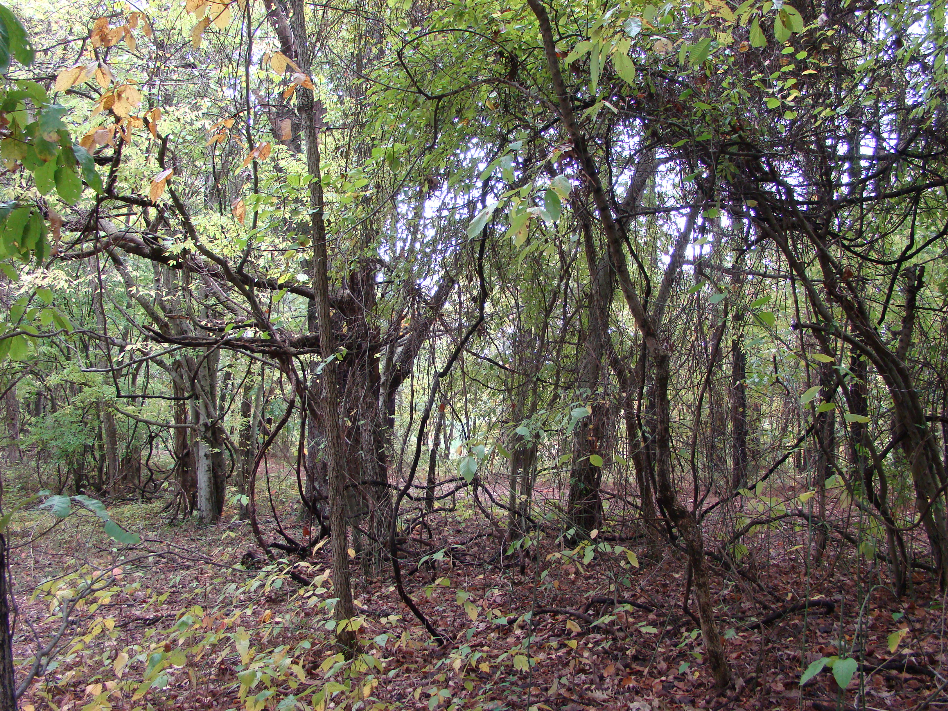
So Many Vines

Max Romps in the Field

Brand new life
Whitewater River
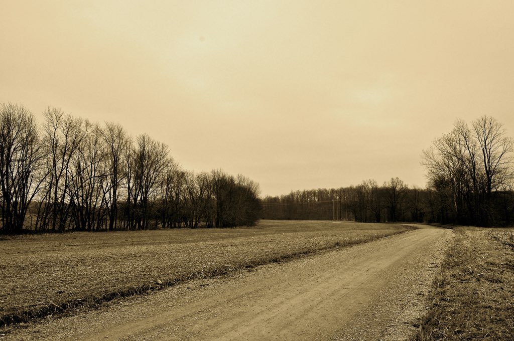
The dirt road
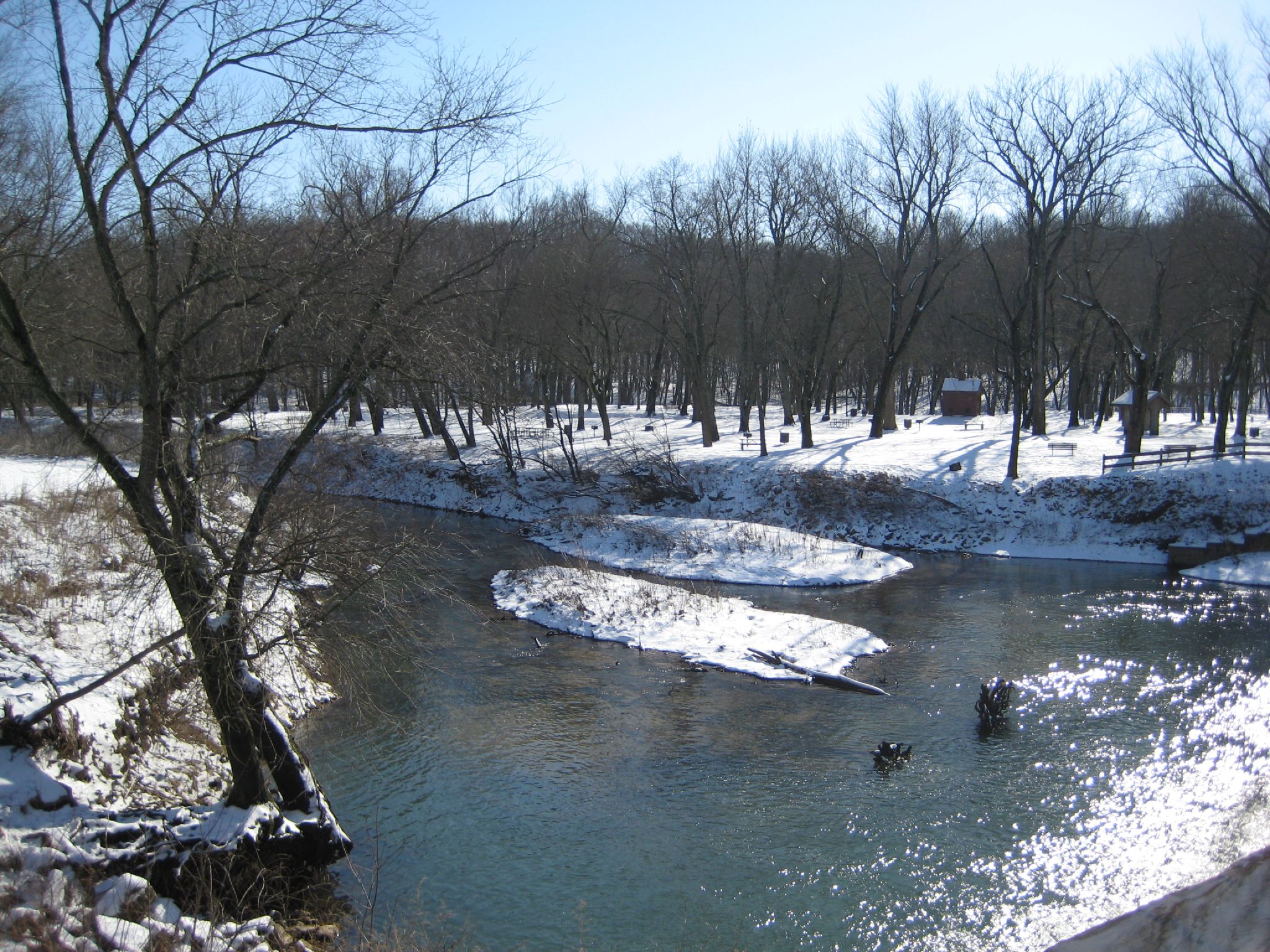
Whitewater River
CAM01179.jpg
CAM01184.jpg
CAM01187.jpg

Approaching the Pond
Topographic Map of Co Rd, Whitewater, MO, USA
Find elevation by address:

Places near Co Rd, Whitewater, MO, USA:
Whitewater
1950 Co Rd 241
1950 Co Rd 241
3061 Co Rd 241
Hubble Township
Welch Township
442 Co Rd 241
MO-25, Advance, MO, USA
Marble Hill
E Main St, Marble Hill, MO, USA
Co Rd, Millersville, MO, USA
Millersville
Lorance Township
Whitewater Township
Dutchtown
Jackson
E Main St, Jackson, MO, USA
Byrd Township
Chaffee
Co Rd, Chaffee, MO, USA
Recent Searches:
- Elevation of Corso Fratelli Cairoli, 35, Macerata MC, Italy
- Elevation of Tallevast Rd, Sarasota, FL, USA
- Elevation of 4th St E, Sonoma, CA, USA
- Elevation of Black Hollow Rd, Pennsdale, PA, USA
- Elevation of Oakland Ave, Williamsport, PA, USA
- Elevation of Pedrógão Grande, Portugal
- Elevation of Klee Dr, Martinsburg, WV, USA
- Elevation of Via Roma, Pieranica CR, Italy
- Elevation of Tavkvetili Mountain, Georgia
- Elevation of Hartfords Bluff Cir, Mt Pleasant, SC, USA