Elevation of Hubble Township, MO, USA
Location: United States > Missouri > Cape Girardeau County >
Longitude: -89.719213
Latitude: 37.2754771
Elevation: 141m / 463feet
Barometric Pressure: 100KPa
Elevation Map:
Satellite Map:
Related Photos:
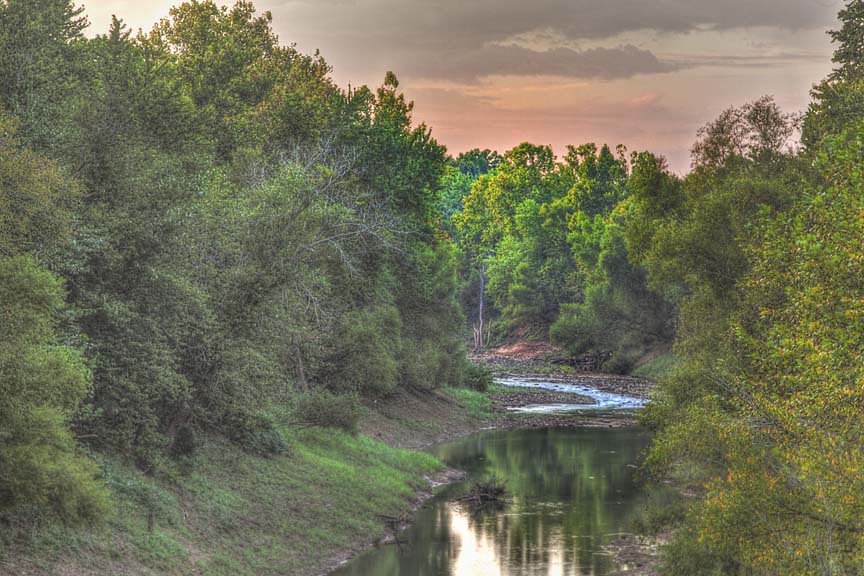
Whitewater River
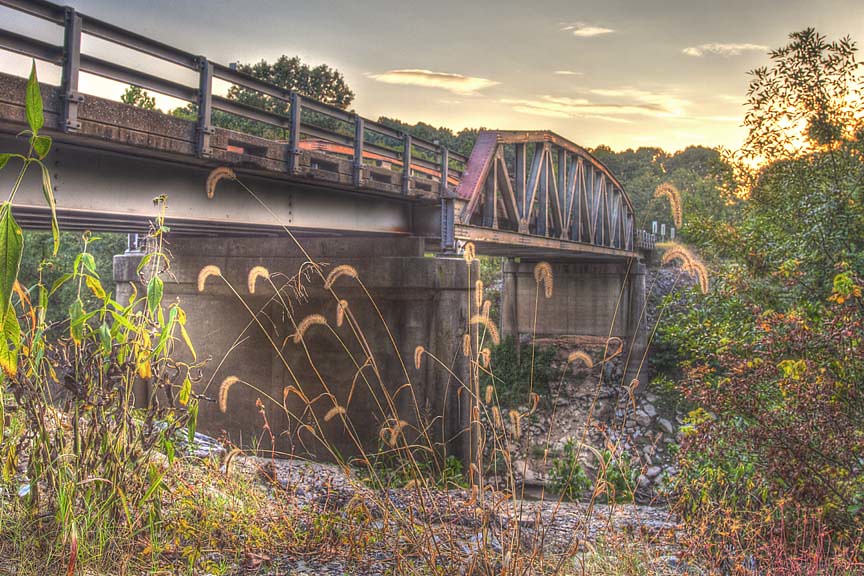
Bridge Over the Whitewater River
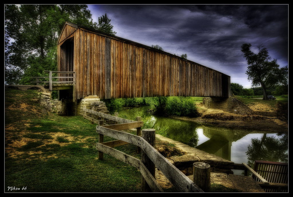
Burfordville Covered Bridge
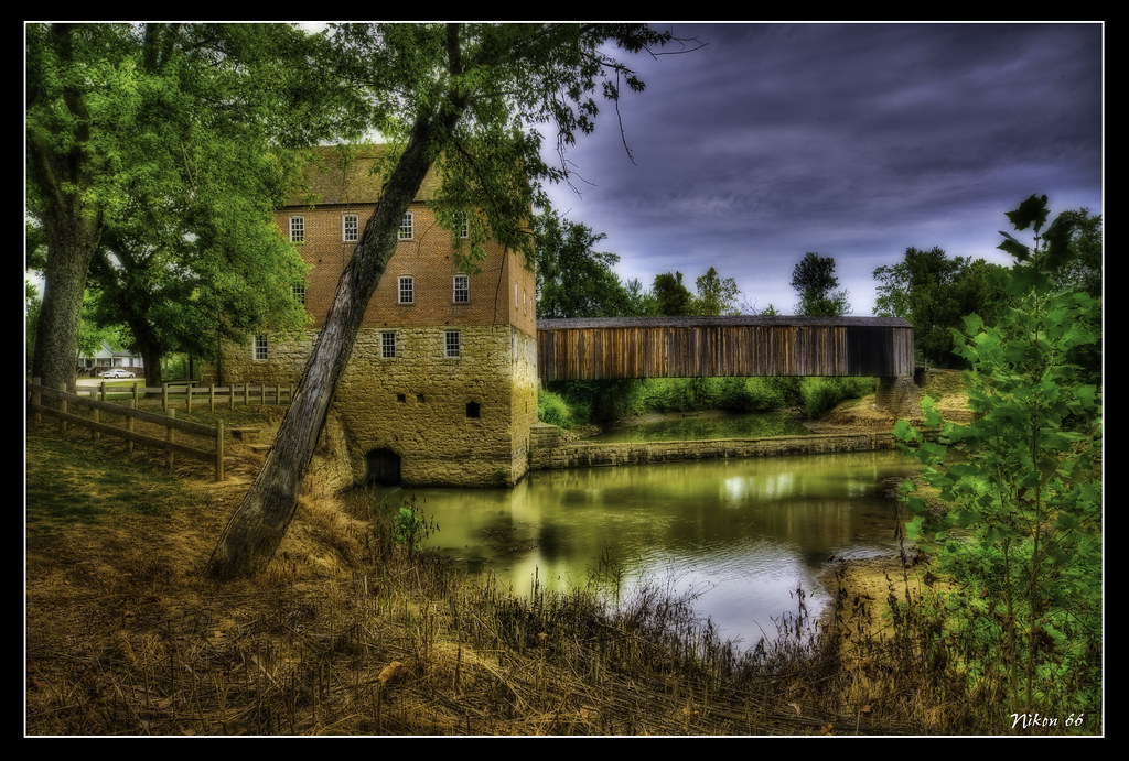
Bollinger Mill
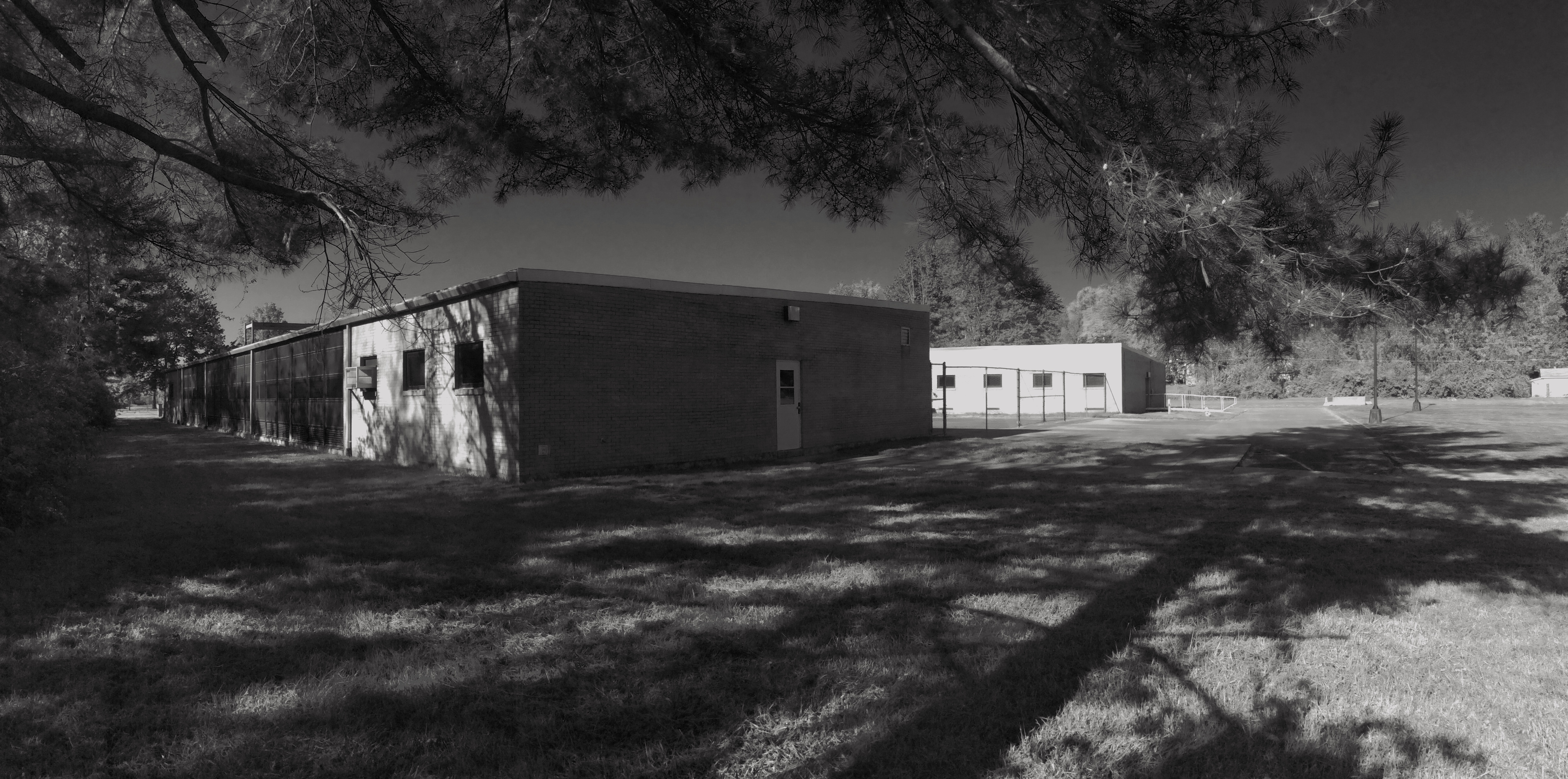
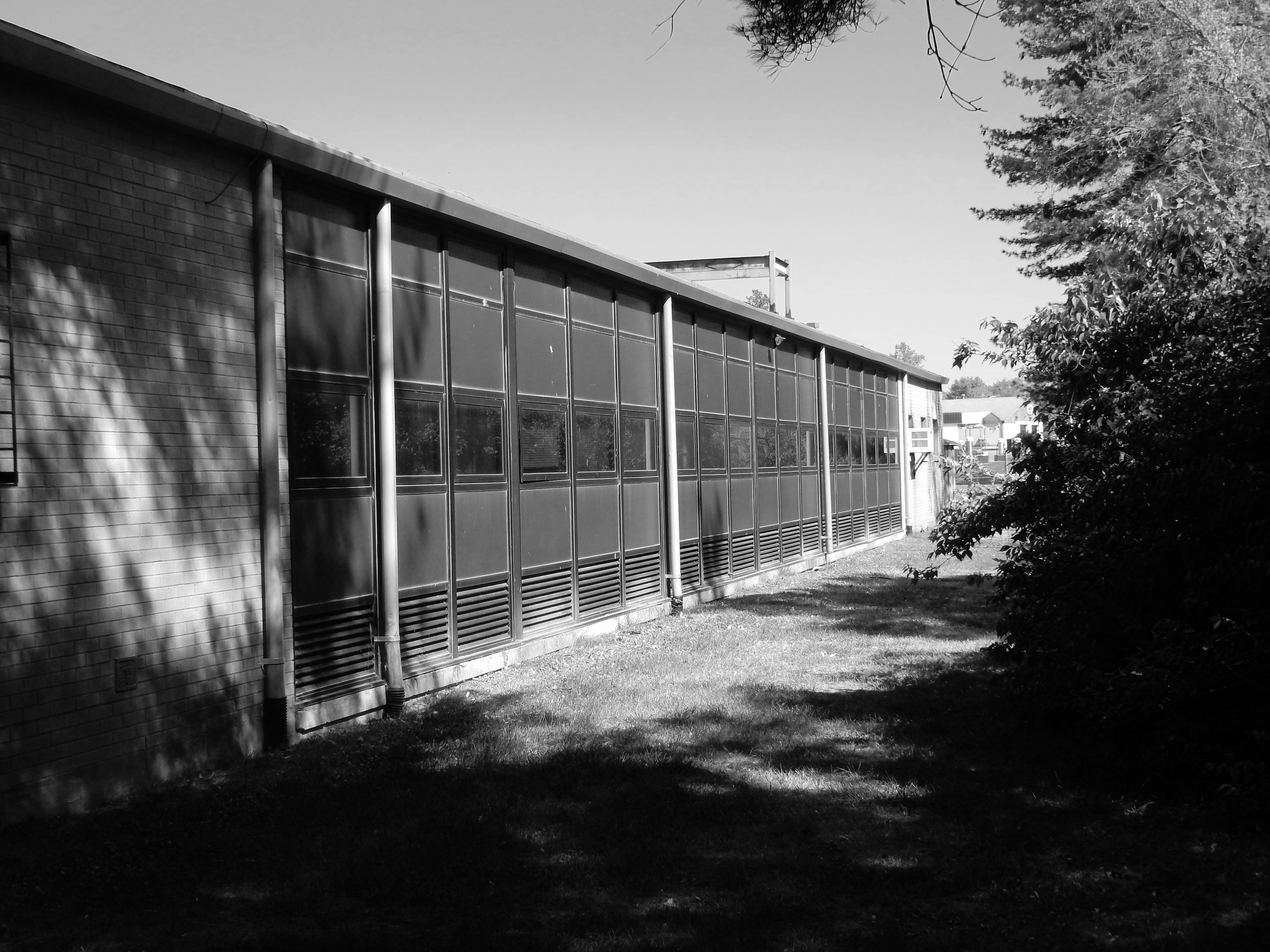
Panoramic View Southwest of East Wing (left) and West Wing (Right)
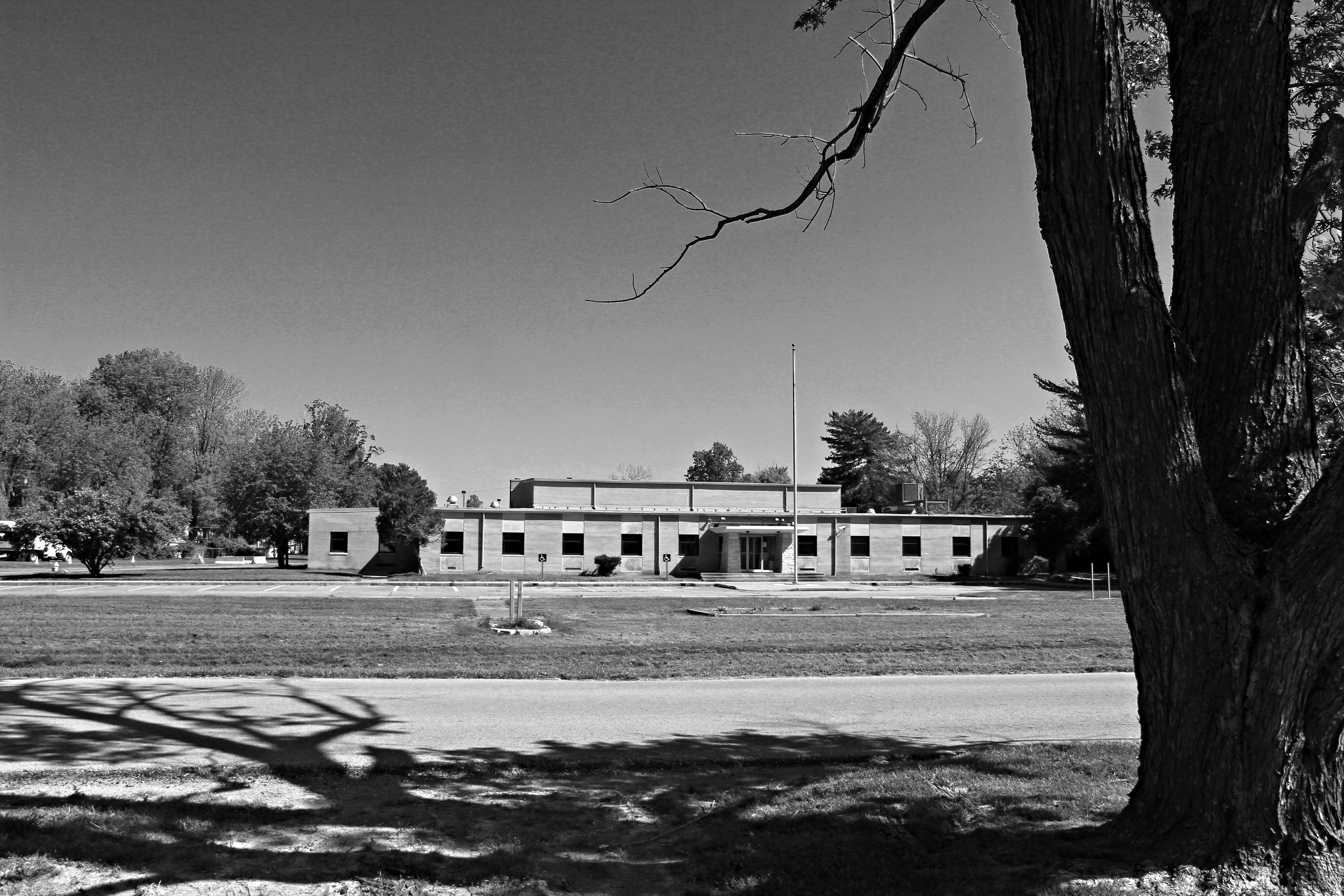
View North of Front Facade
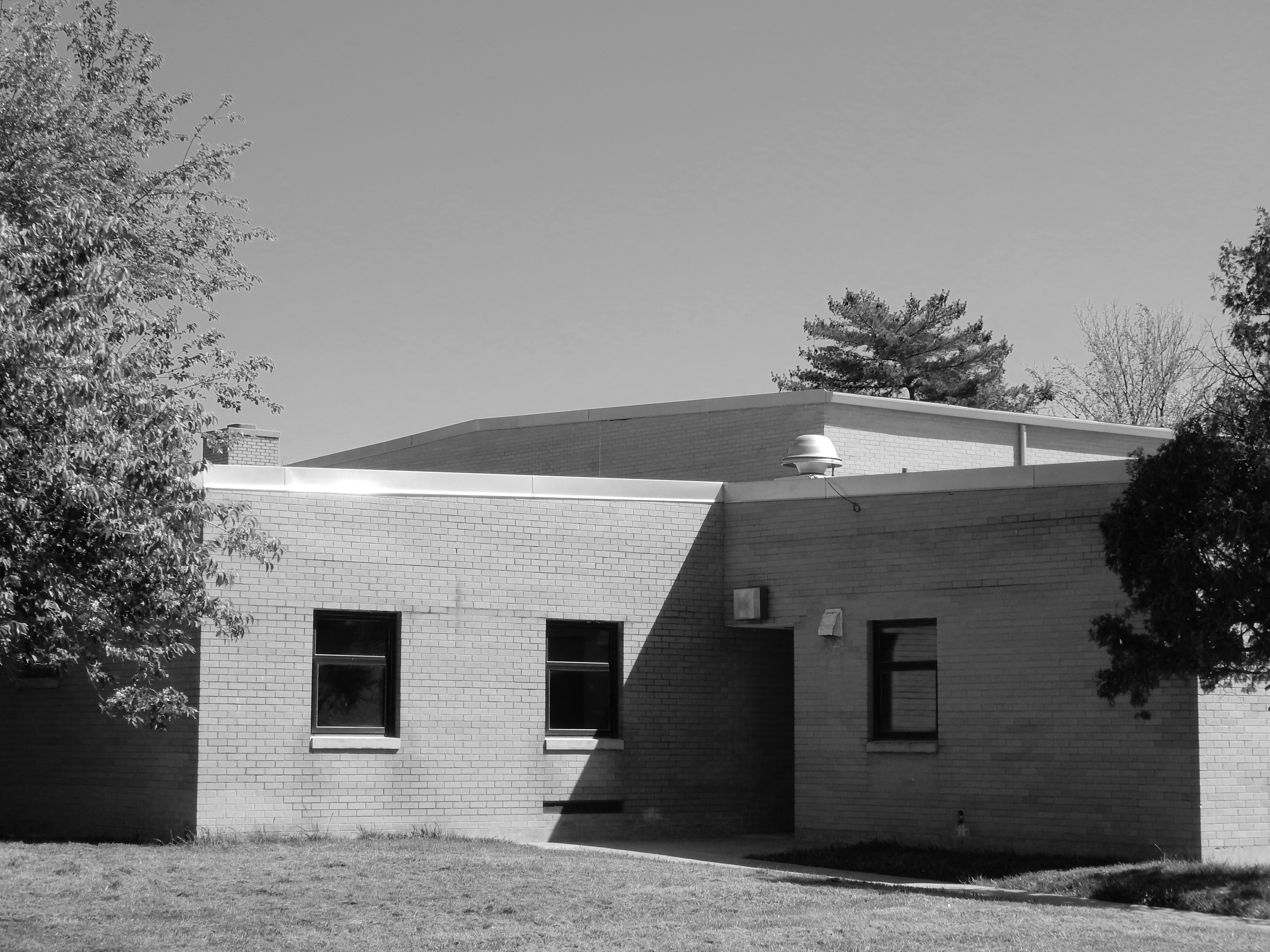
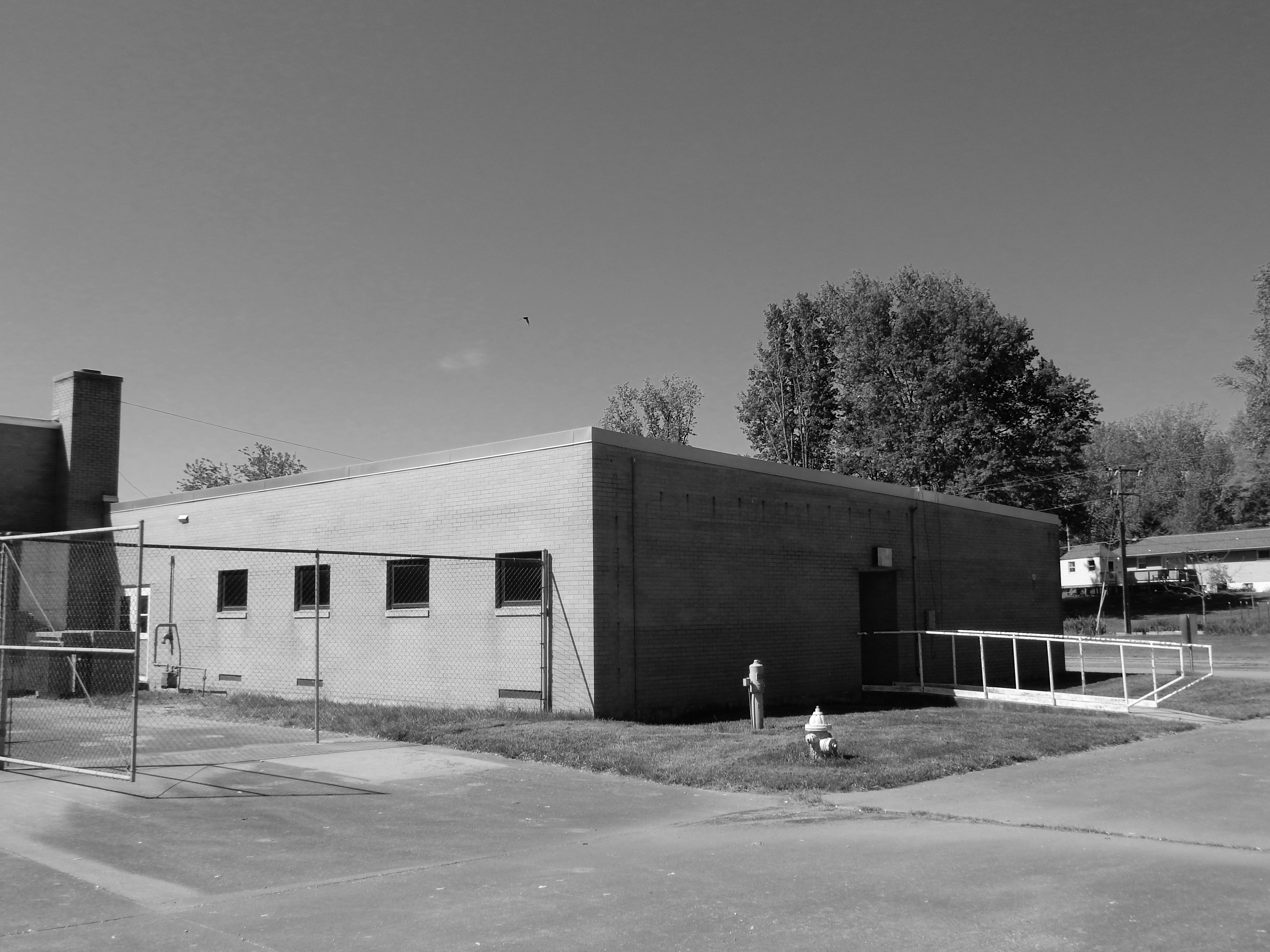
Northeast View of Southwest Corner

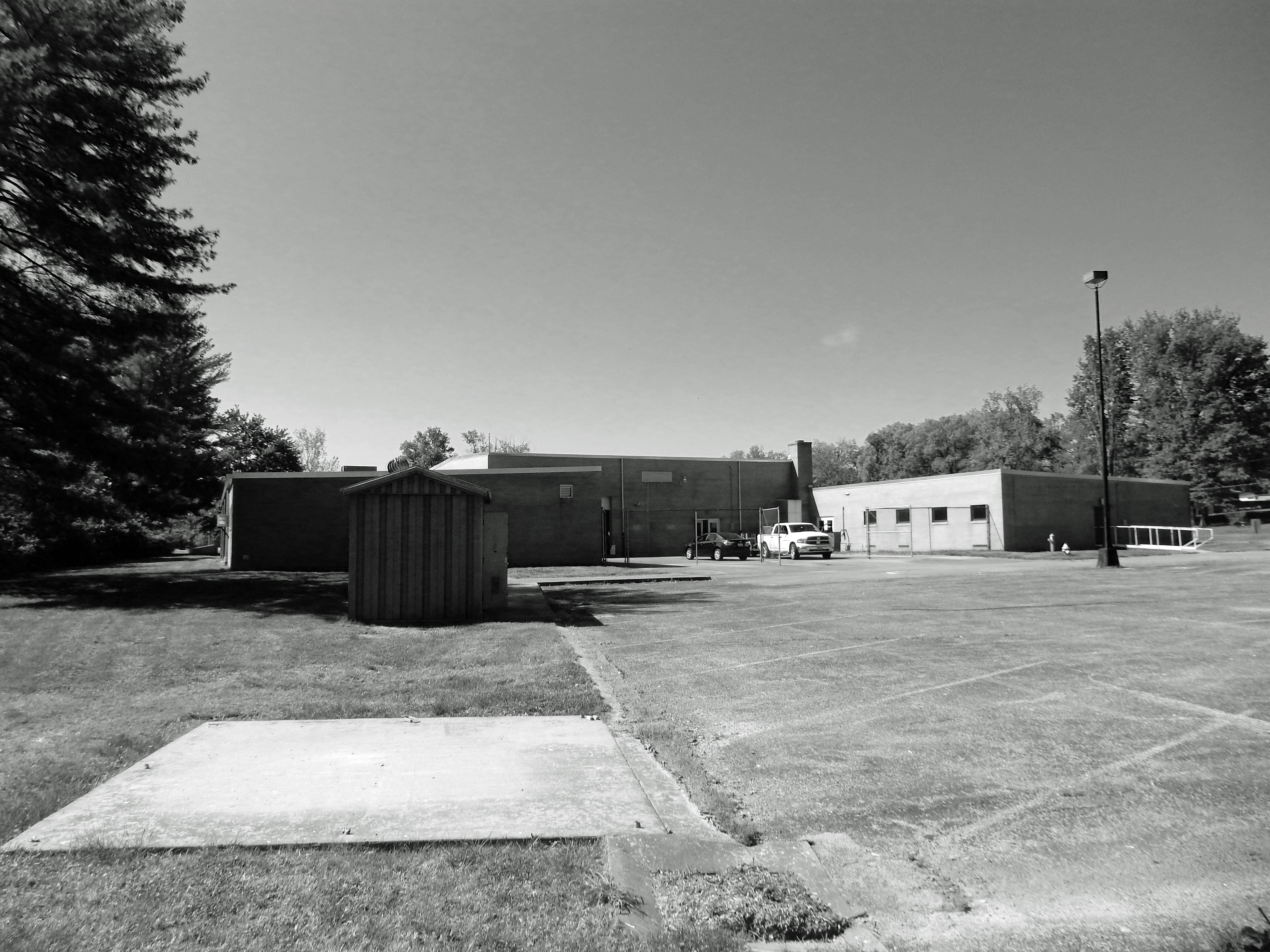
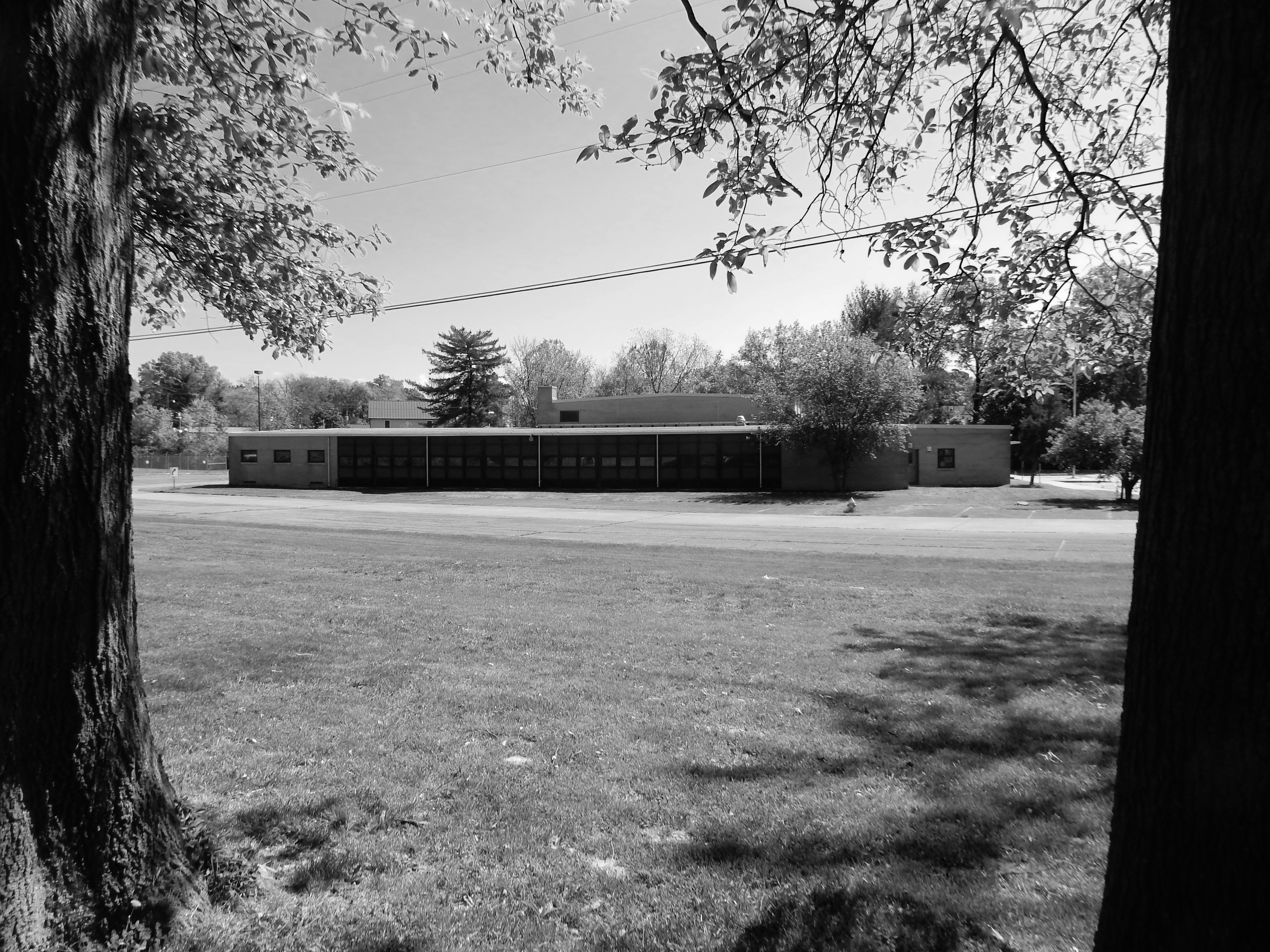
Distant View North from Arena Park
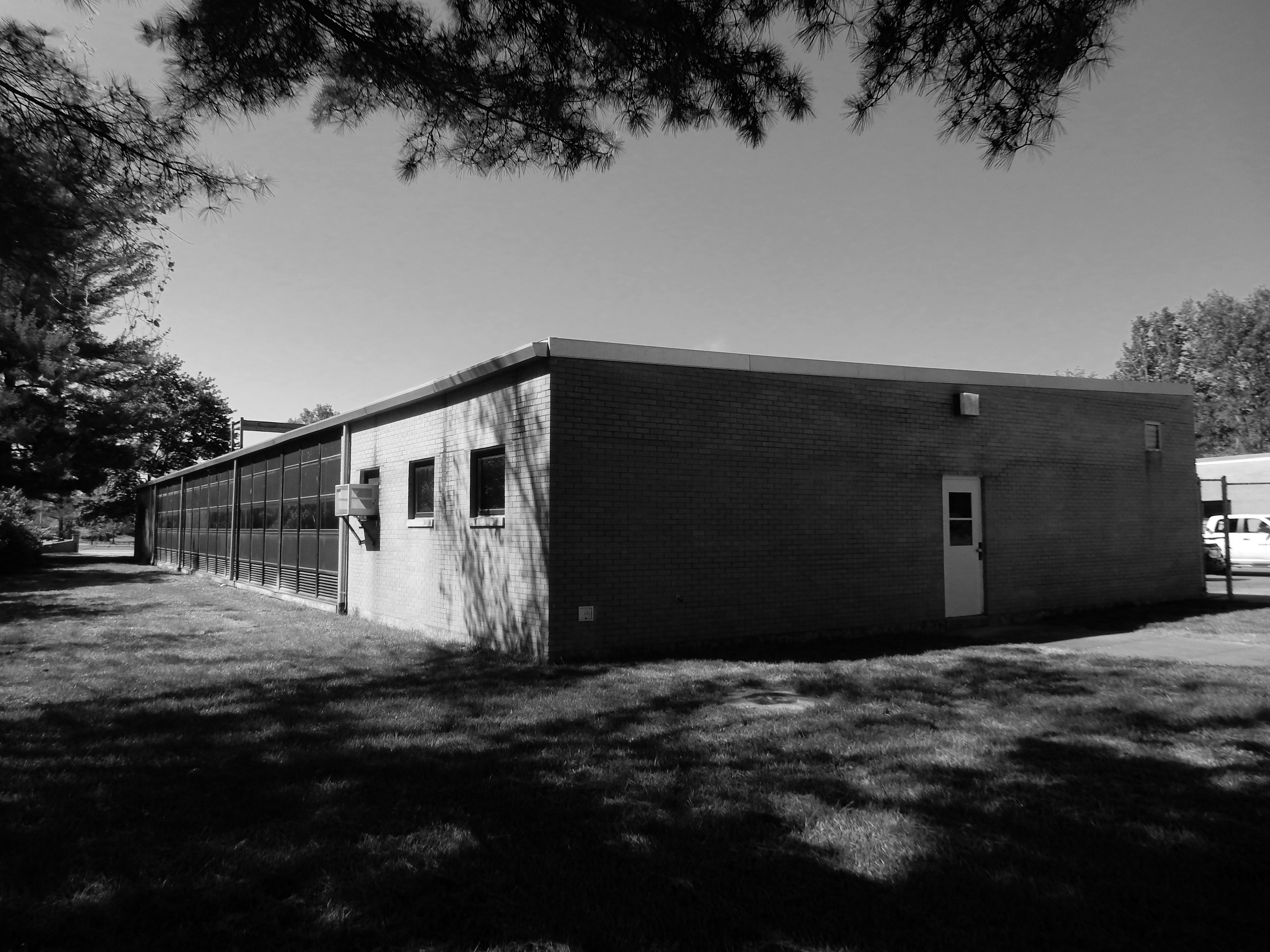
0004_South View of East Wing
Southwest View of West Wing
0005_South View
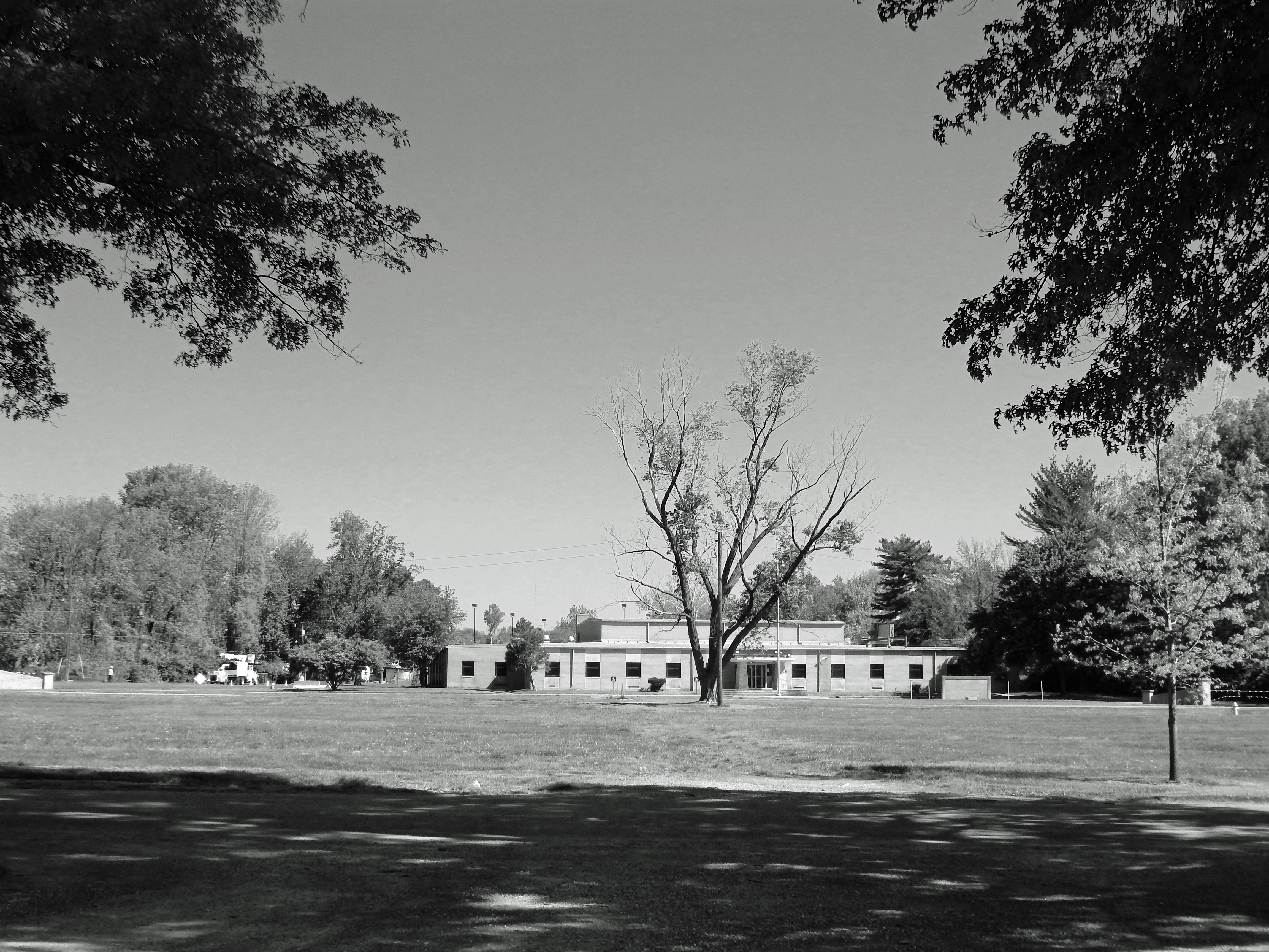
Distant North View
Northwest View of South Facade
0003_View North of East Facade
0006_Distant View East of West Facade
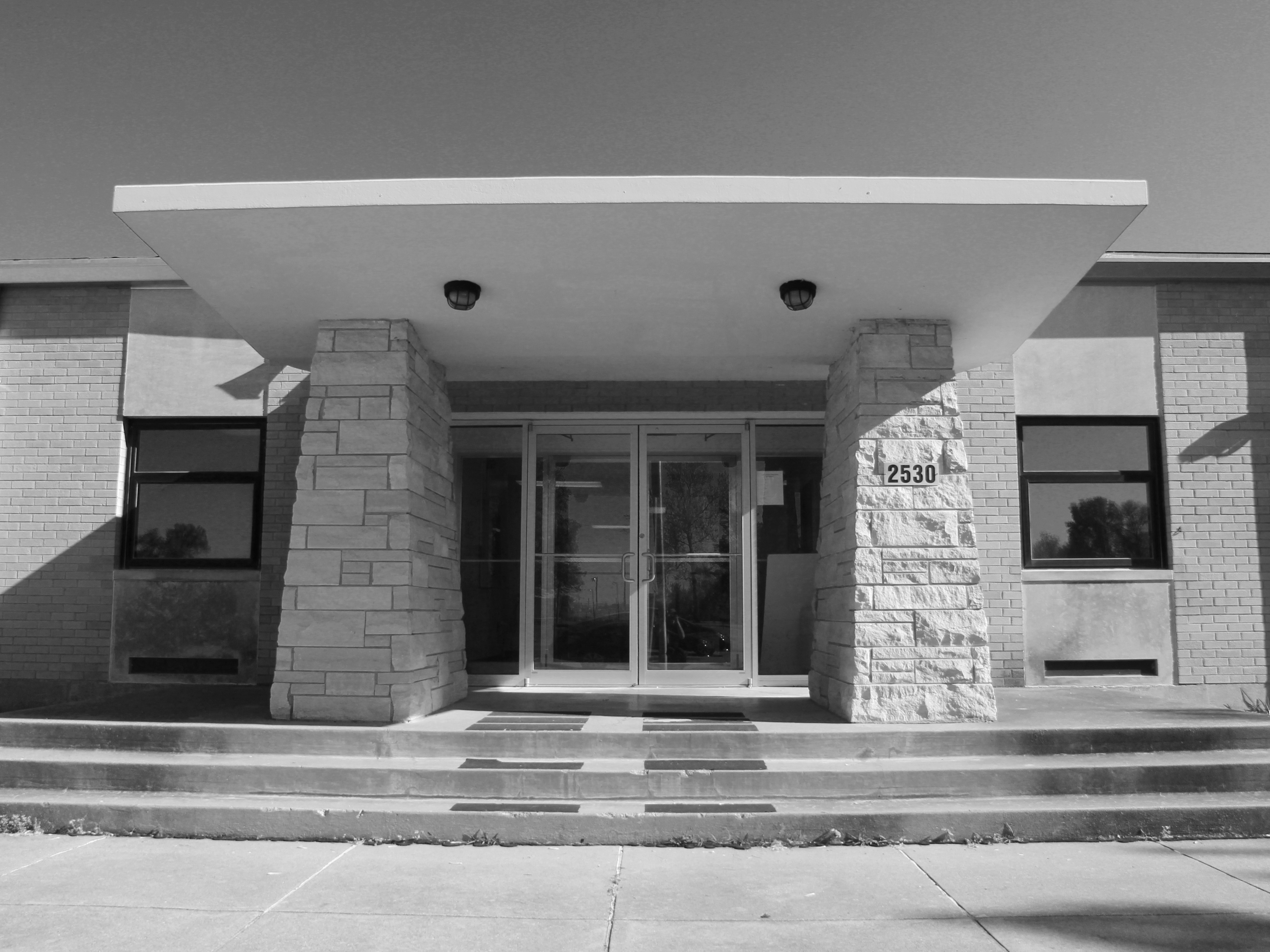
View North of Entrance Canopy
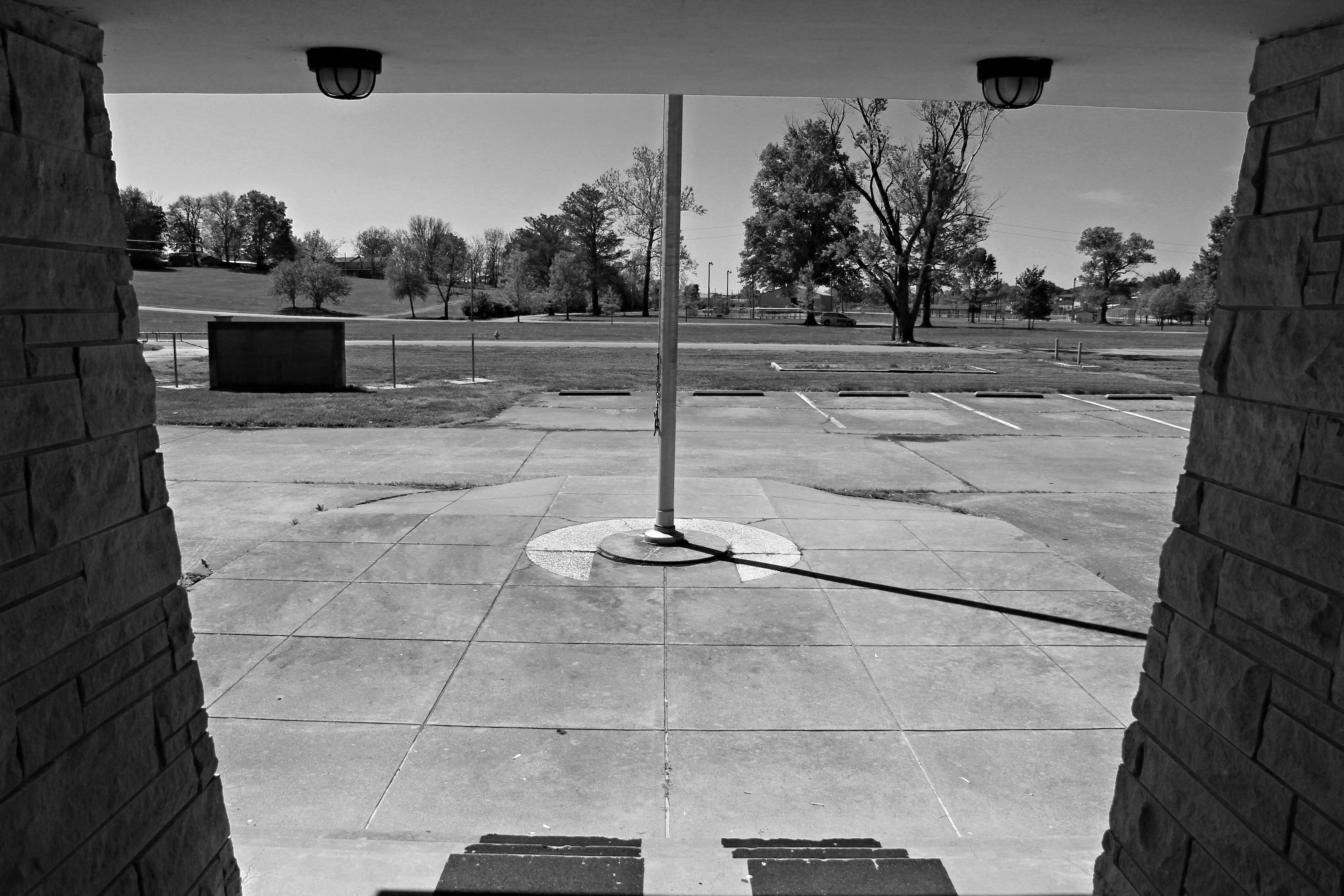
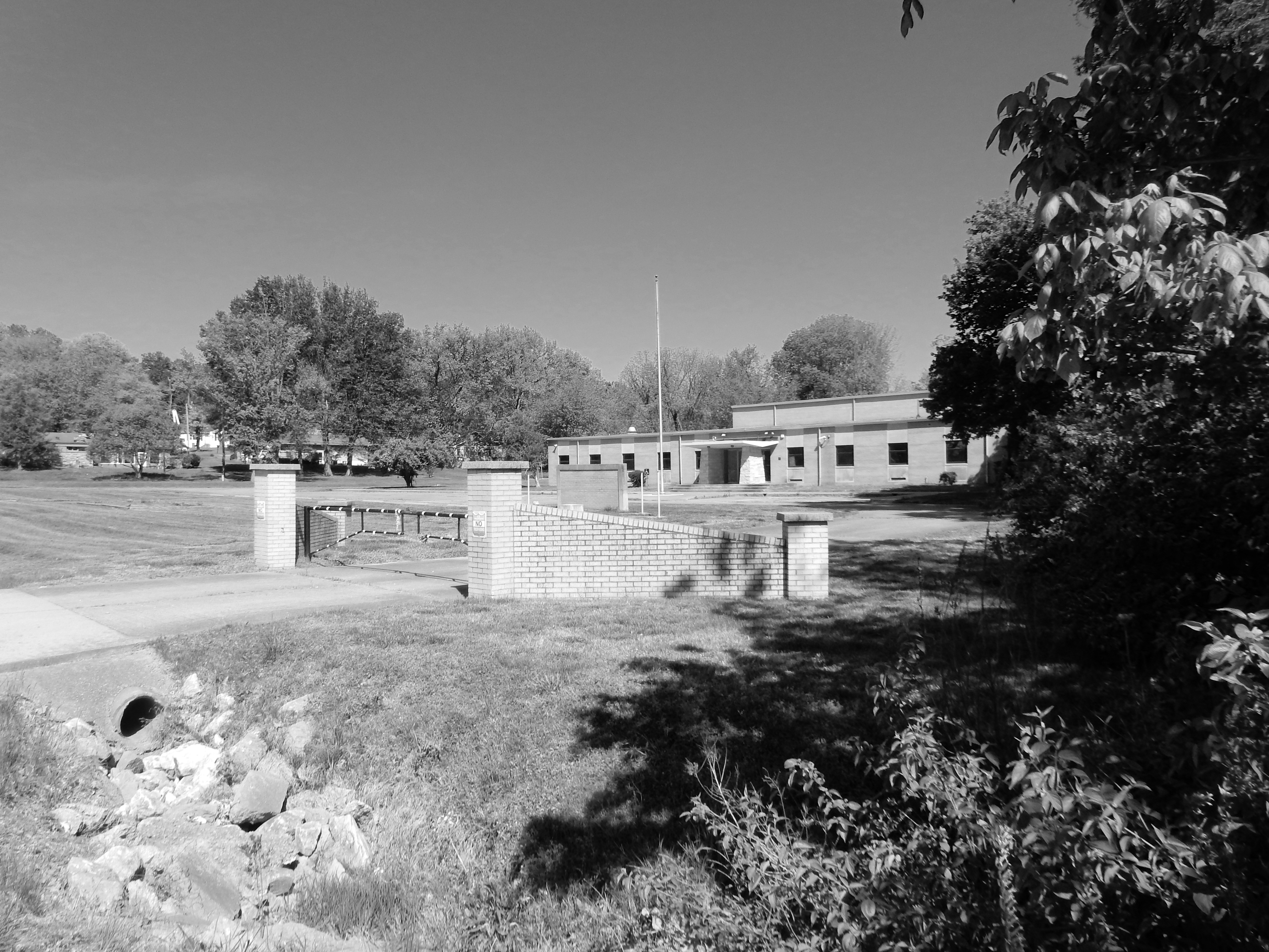
View South from Entrance
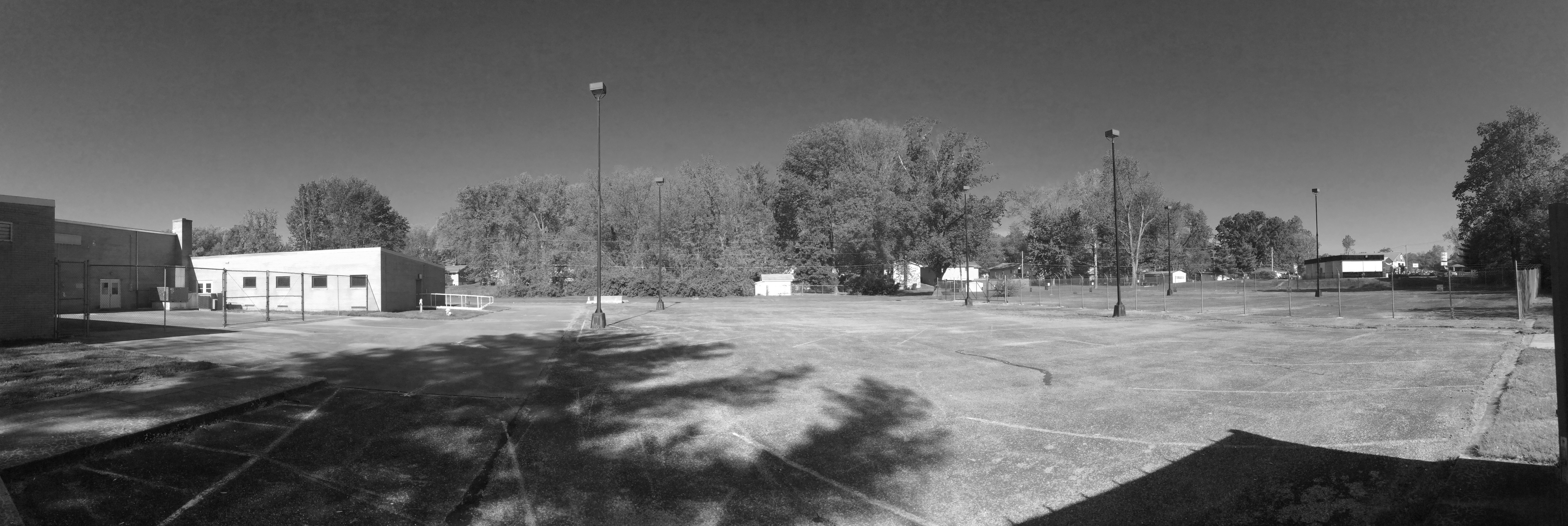
Panoramic East View of Parking and Storage Area
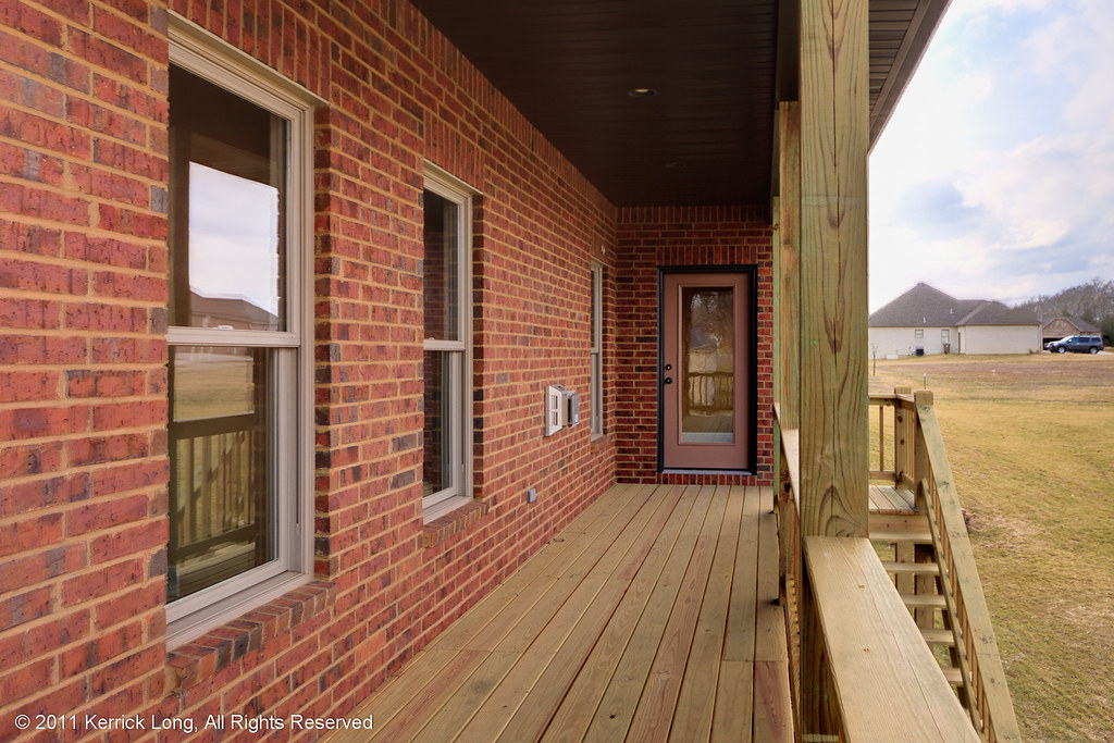
66424 - Deck View

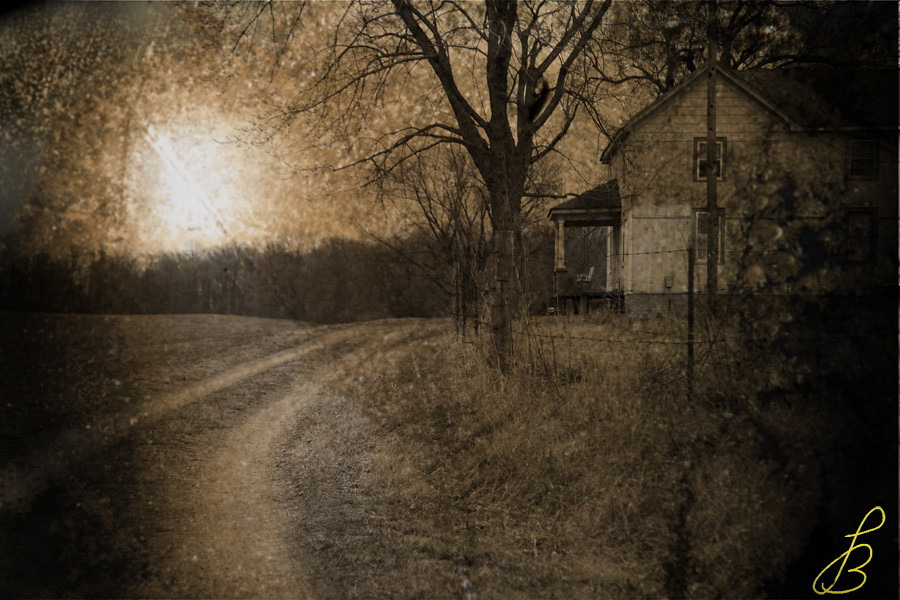
Fall Hike
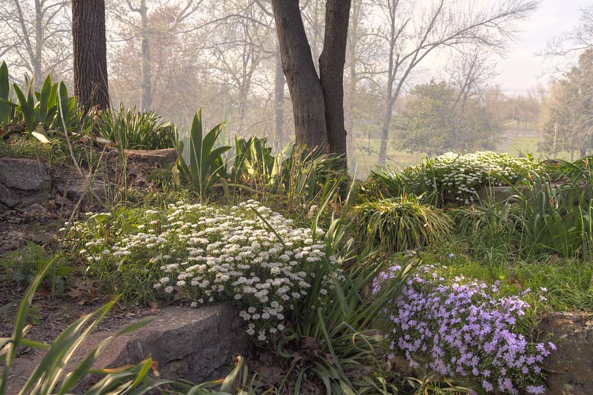
Flowers on the wall
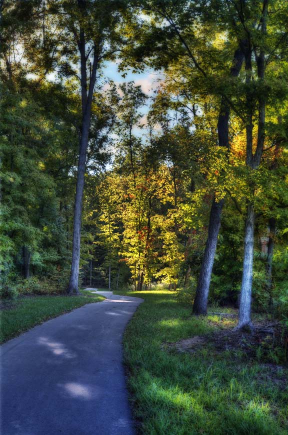
Spring Afternoon
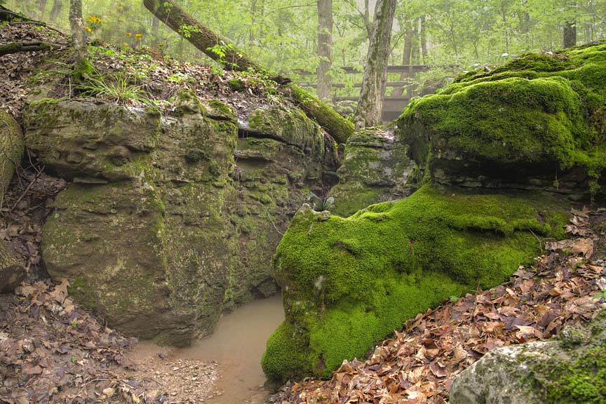
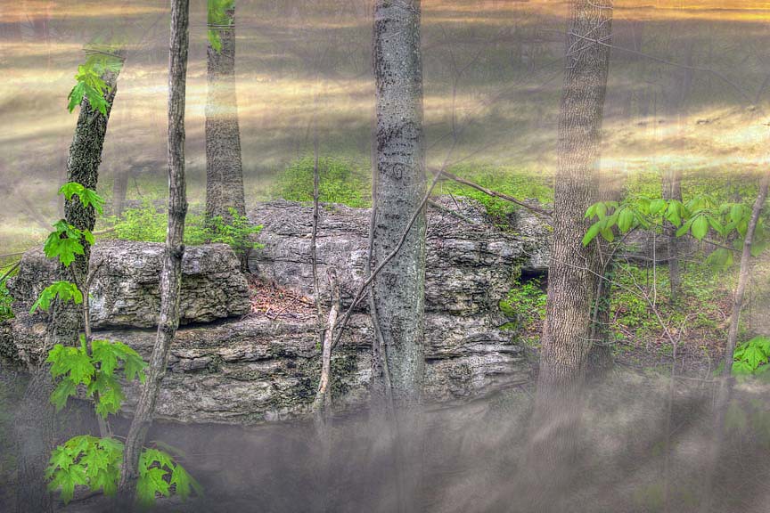
The beauty is in Mosses.
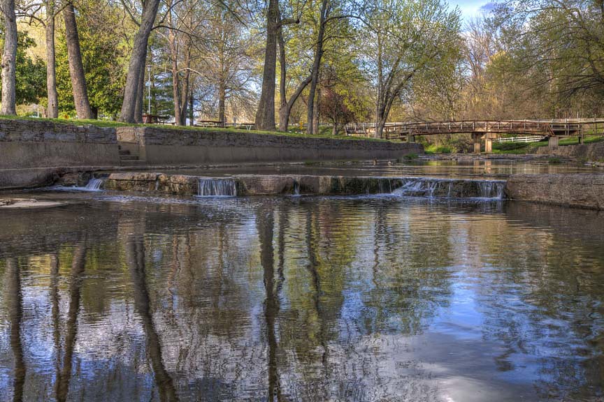
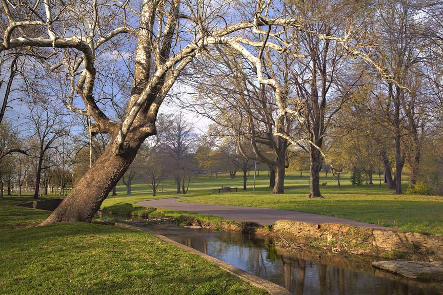
Spring in the Park
A walk in the Park
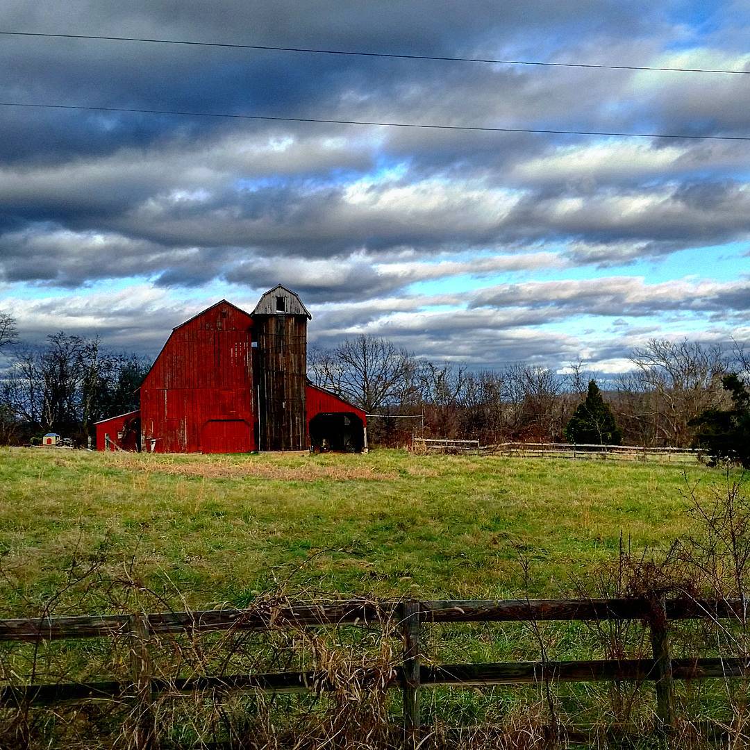
Cartoon skies over a Missouri scene

Burfordville Covered Bridge
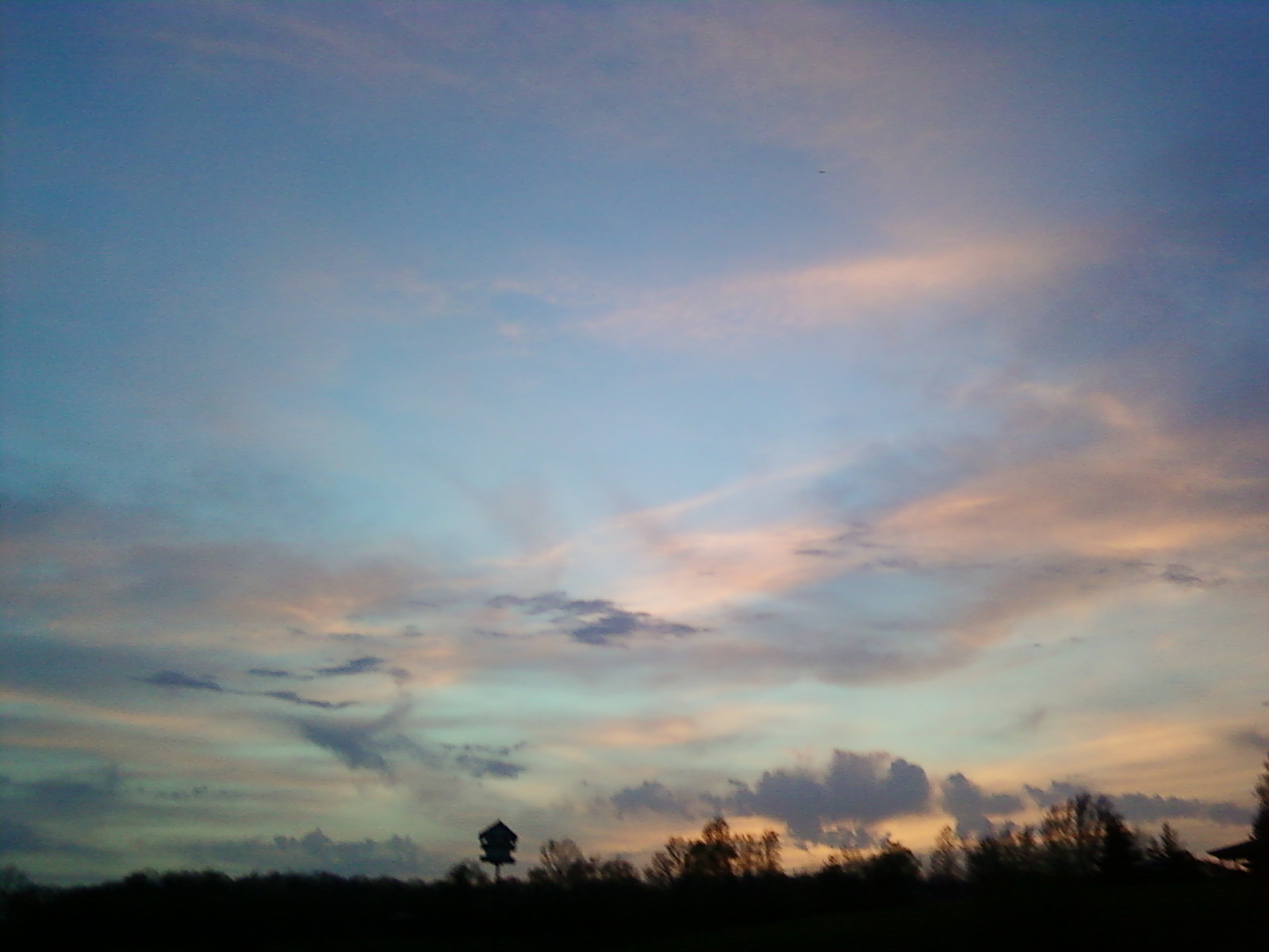
Missouri Morning
Sun Down 2
Come slowly, Eden!
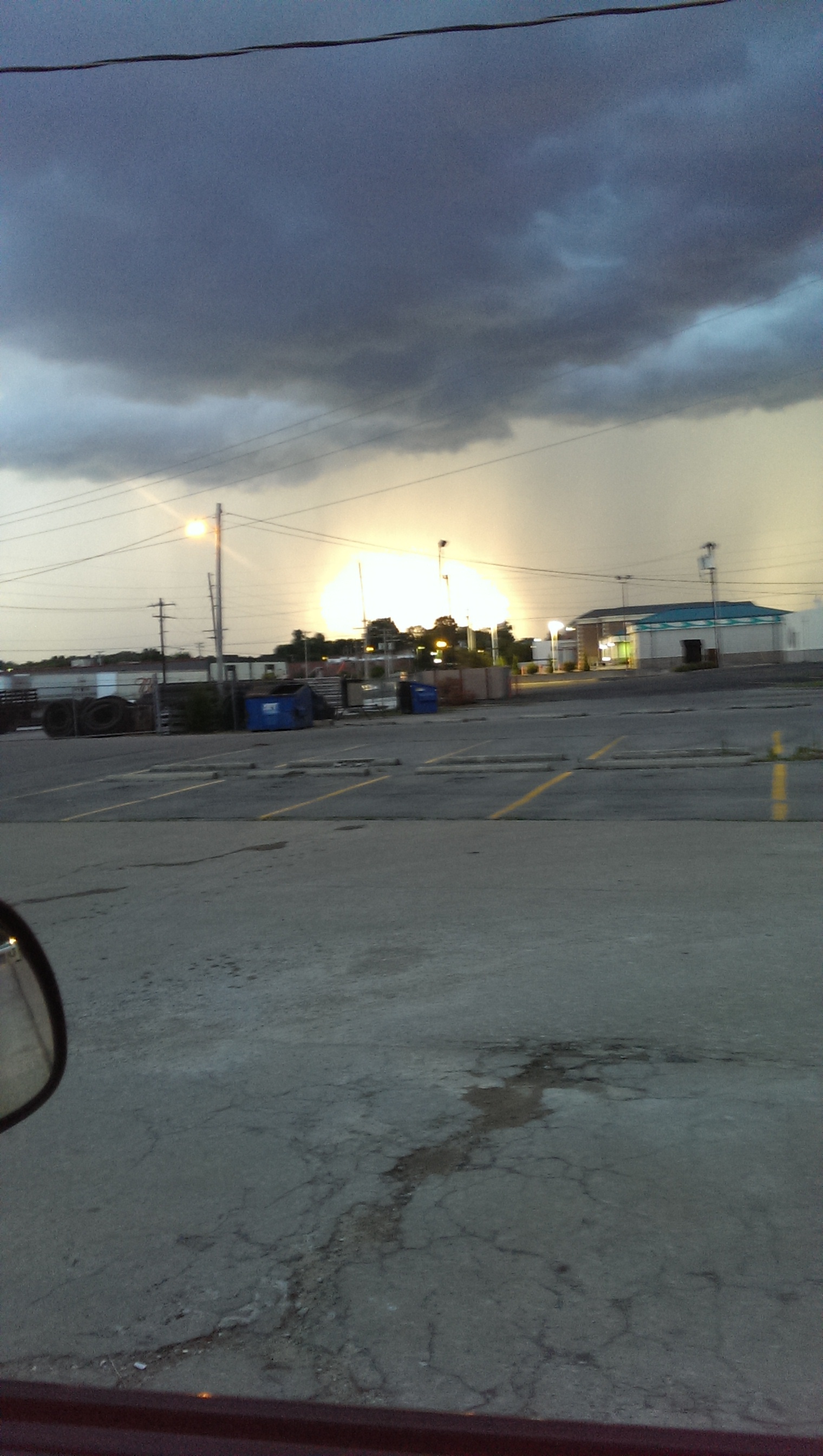
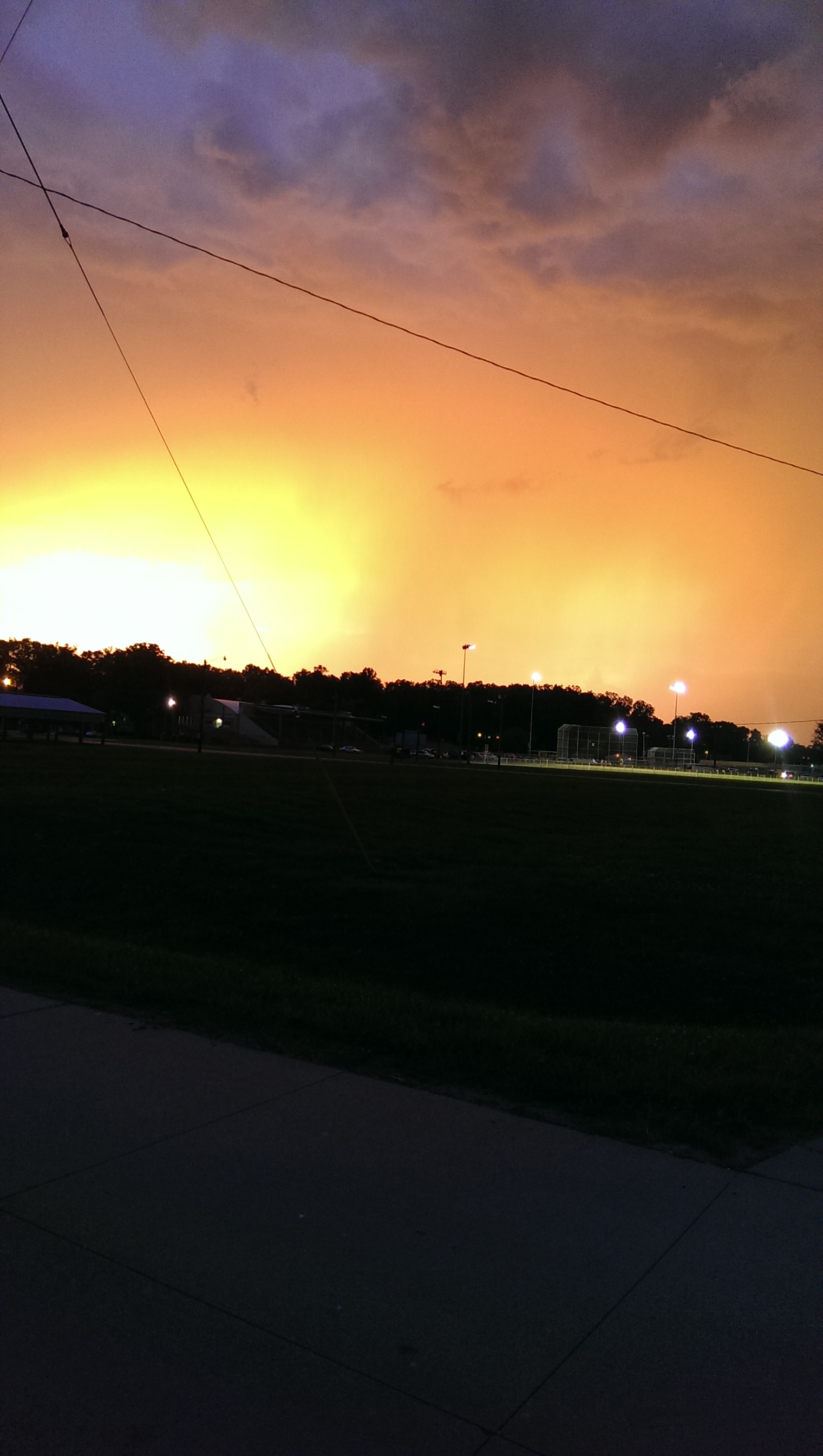
Storm Rolling In.

Quad Climber
Storm Rolling In.

Fall Colors Jackson Park
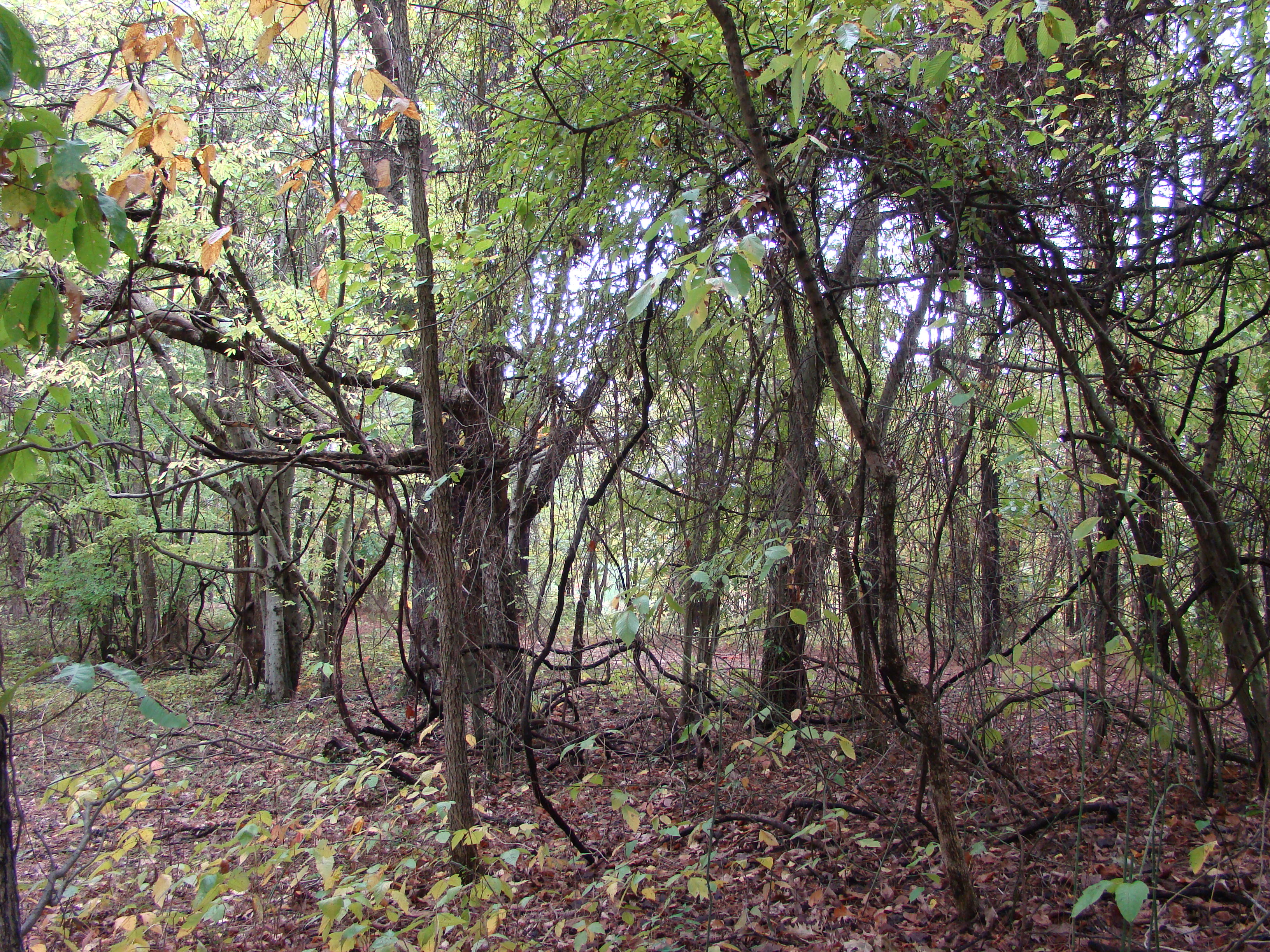
So Many Vines

Mating Soldier Beetles

Max Romps in the Field
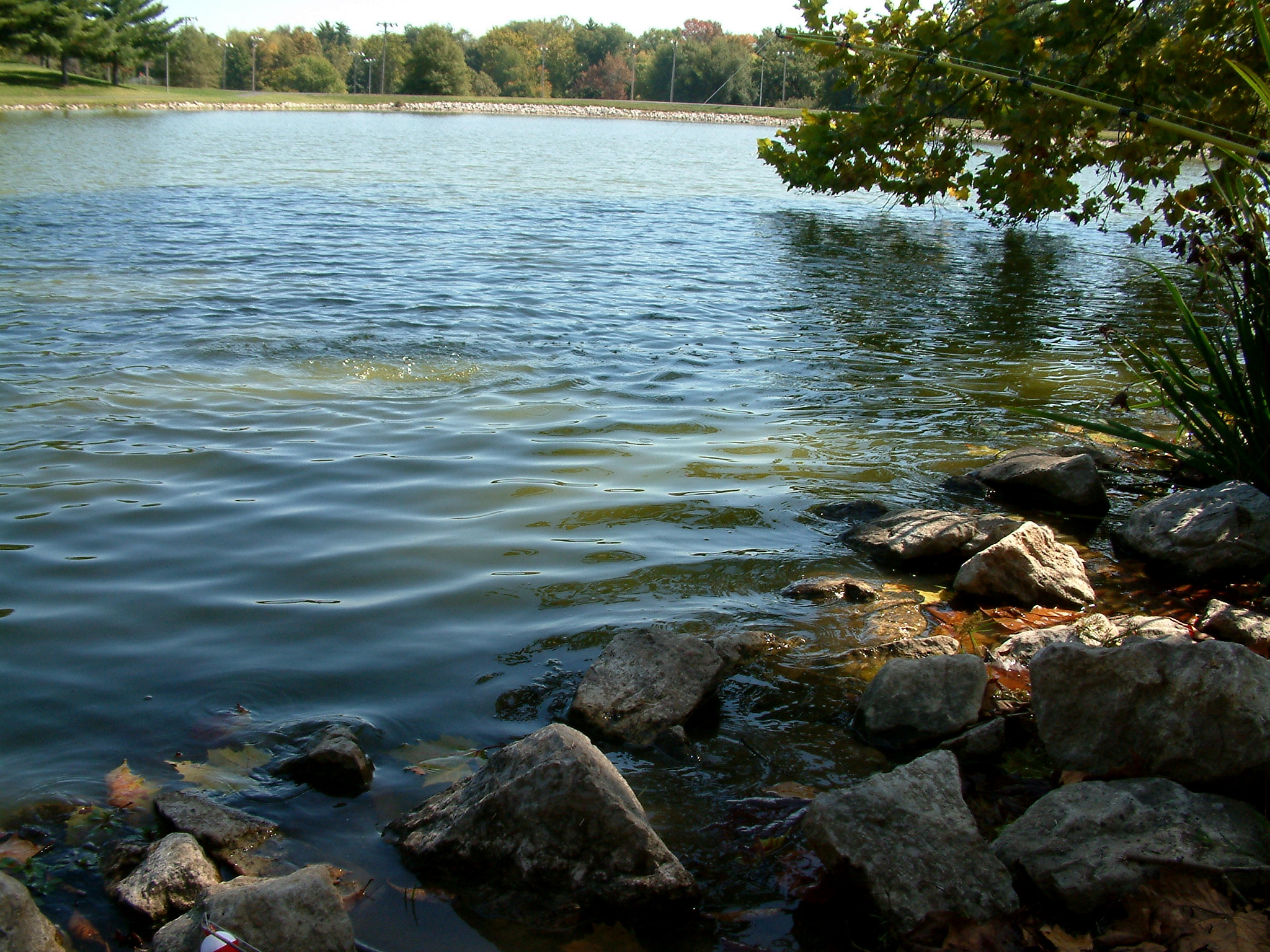
Rotary Lake Jackson, Missouri 11
Topographic Map of Hubble Township, MO, USA
Find elevation by address:

Places in Hubble Township, MO, USA:
Places near Hubble Township, MO, USA:
442 Co Rd 241
3061 Co Rd 241
1950 Co Rd 241
1950 Co Rd 241
Dutchtown
Whitewater
Welch Township
Co Rd, Whitewater, MO, USA
Co Rd, Chaffee, MO, USA
Chaffee
Jackson
E Main St, Jackson, MO, USA
Dalhousie Golf Club
Byrd Township
200 N Lacey St
Cape Girardeau County
3902 Eagle Ridge Dr
MO-25, Advance, MO, USA
Cape Girardeau Township
711 S Mt Auburn Rd
Recent Searches:
- Elevation of Crocker Dr, Vacaville, CA, USA
- Elevation of Pu Ngaol Community Meeting Hall, HWHM+3X7, Krong Saen Monourom, Cambodia
- Elevation of Royal Ontario Museum, Queens Park, Toronto, ON M5S 2C6, Canada
- Elevation of Groblershoop, South Africa
- Elevation of Power Generation Enterprises | Industrial Diesel Generators, Oak Ave, Canyon Country, CA, USA
- Elevation of Chesaw Rd, Oroville, WA, USA
- Elevation of N, Mt Pleasant, UT, USA
- Elevation of 6 Rue Jules Ferry, Beausoleil, France
- Elevation of Sattva Horizon, 4JC6+G9P, Vinayak Nagar, Kattigenahalli, Bengaluru, Karnataka, India
- Elevation of Great Brook Sports, Gold Star Hwy, Groton, CT, USA