Elevation of Minam River, Oregon, USA
Location: United States > Oregon > Wallowa County > Wallowa >
Longitude: -117.72580
Latitude: 45.6031735
Elevation: 845m / 2772feet
Barometric Pressure: 92KPa
Elevation Map:
Satellite Map:
Related Photos:
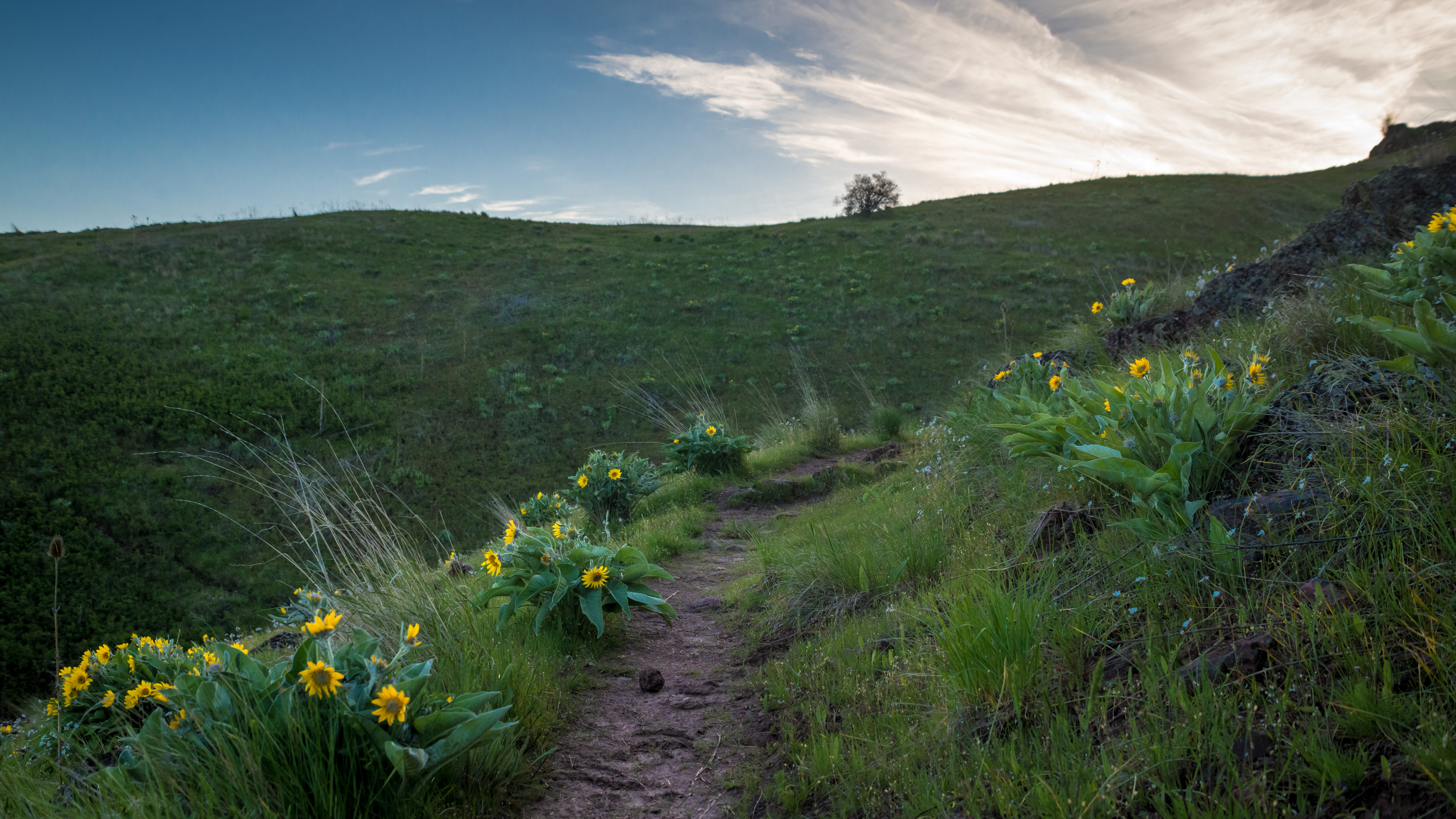
Path up

Fencing in the Wallowas

Toni makes a big splash
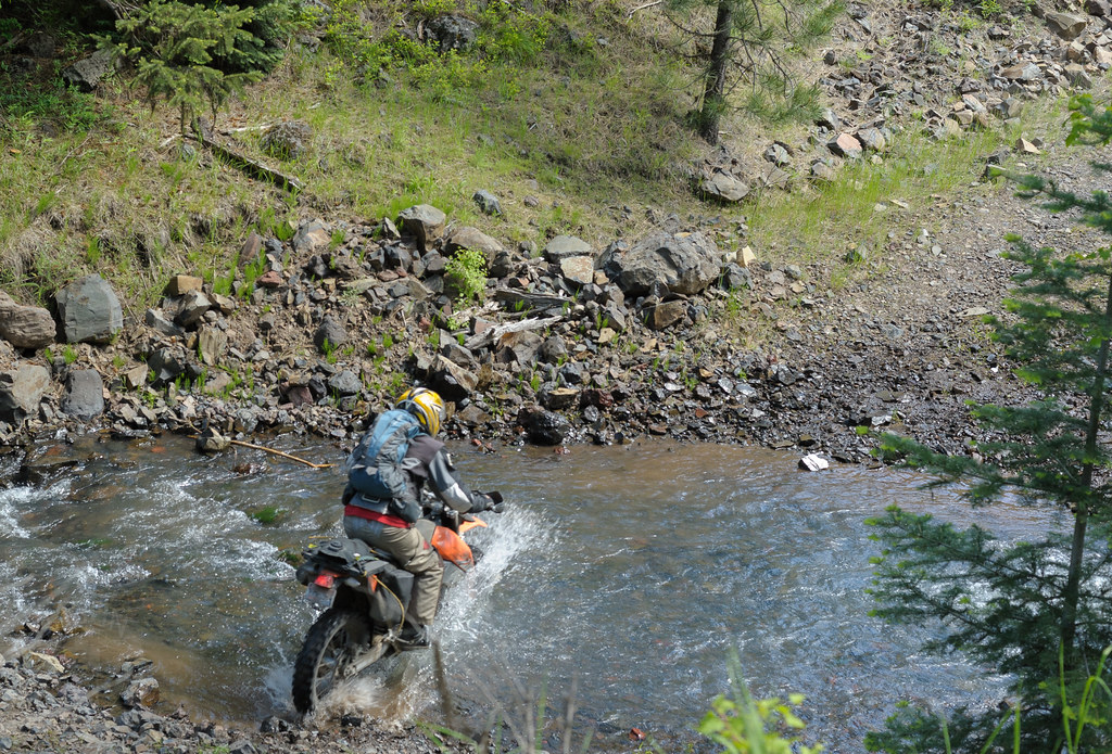
Thane slices through

A Bouquet

leap lane. wallowa county. oregon.

Wallowa Countryside

Lower Wallowa Valley

21 Trees

DSCF4608.JPG
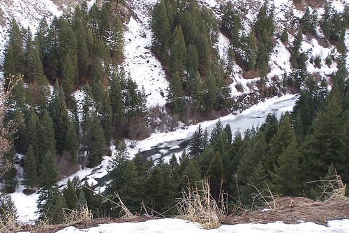
Frozen River
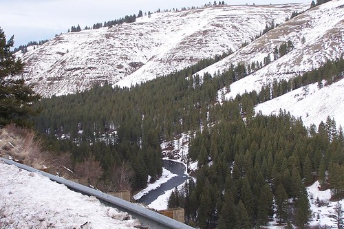
Frozen River
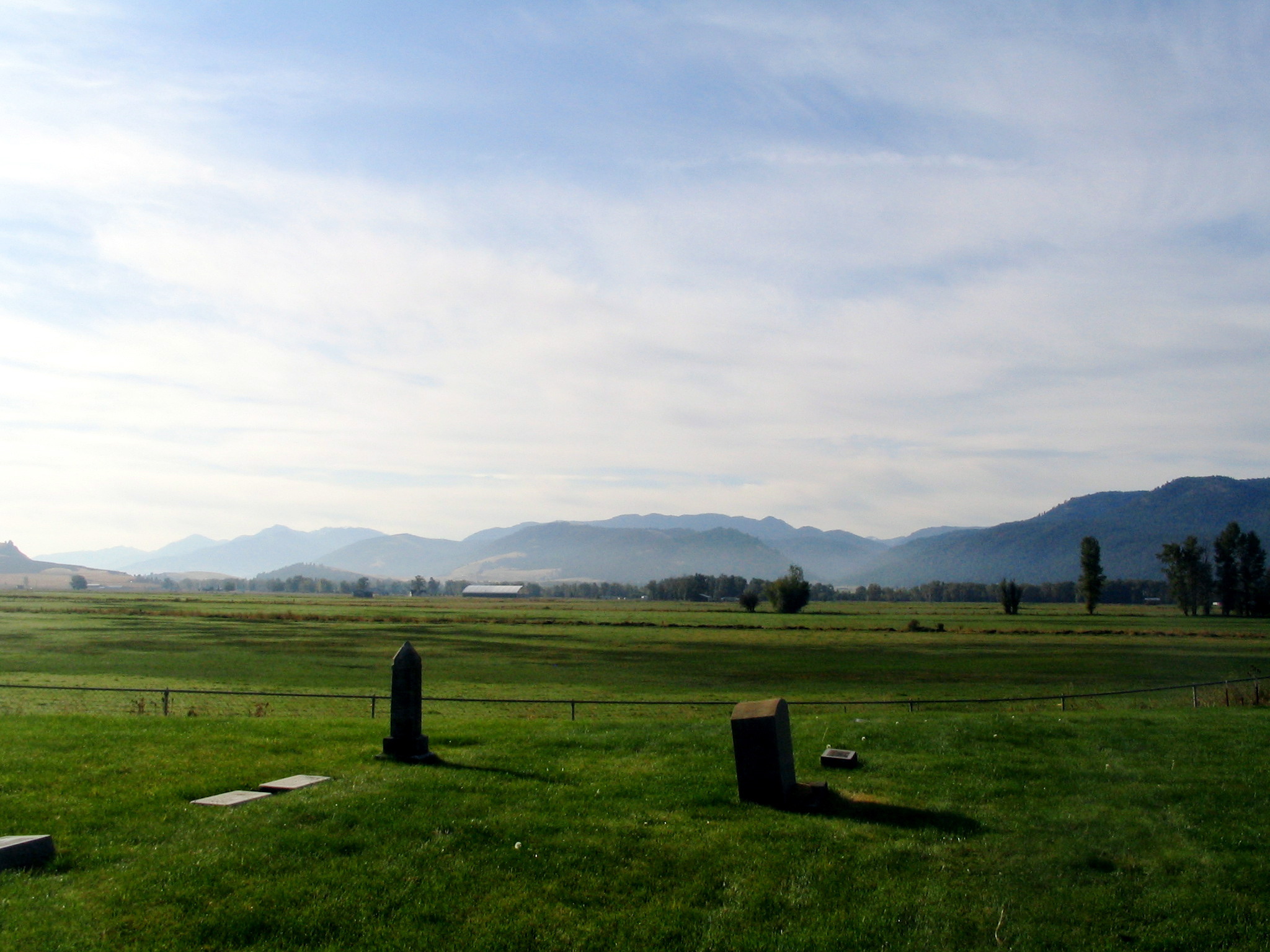
bramlet memorial cemetery - wallowa, or
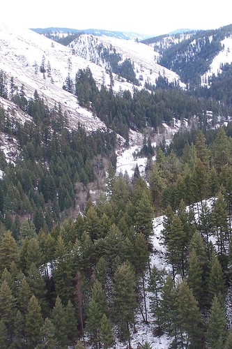
Frozen River
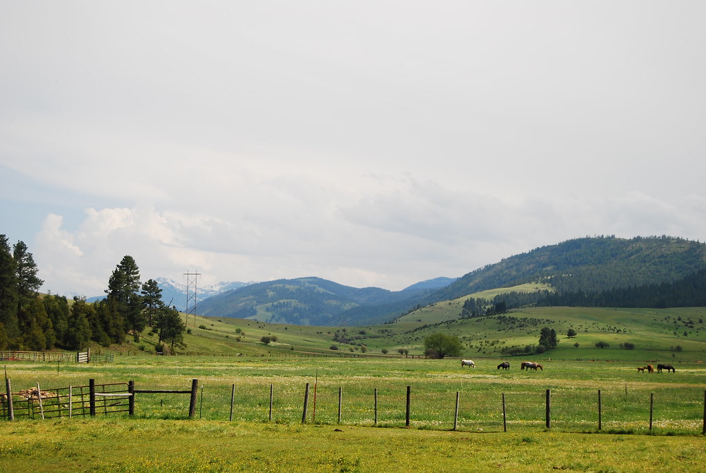
Wallowa Spring Meadow

DSC06373 (3) Retired John Deer

bramlet memorial cemetery - wallowa, or

Sunrise Over the Mill
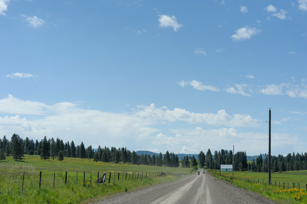
Hindman Road

Sunrise on the Farm
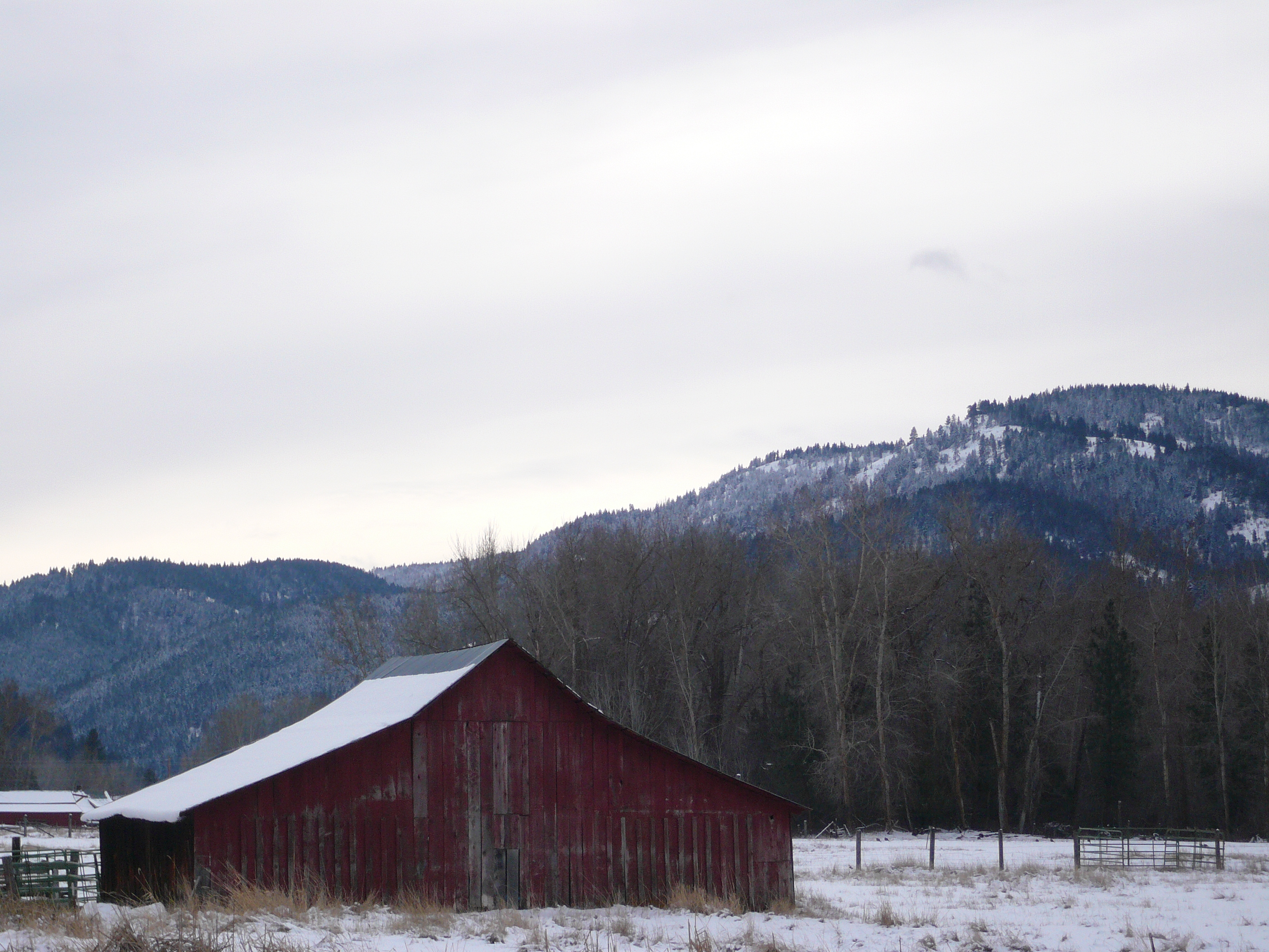
Faded Red Barn
Topographic Map of Minam River, Oregon, USA
Find elevation by address:

Places near Minam River, Oregon, USA:
Minam
74286 Thompson Rd
75381 Thompson Rd
Diamond Prairie
Elgin
Wallowa
Maxville
71368 Valley View Rd
Wallowa, OR, USA
Imbler
Promise
Jefferson St, Summerville, OR, USA
Lostine
Elizabeth St, Lostine, OR, USA
Lostine
Jubilee Lake
76160 Eden Ln
Tollgate
Union
823 W Grande St
Recent Searches:
- Elevation of Elwyn Dr, Roanoke Rapids, NC, USA
- Elevation of Congressional Dr, Stevensville, MD, USA
- Elevation of Bellview Rd, McLean, VA, USA
- Elevation of Stage Island Rd, Chatham, MA, USA
- Elevation of Shibuya Scramble Crossing, 21 Udagawacho, Shibuya City, Tokyo -, Japan
- Elevation of Jadagoniai, Kaunas District Municipality, Lithuania
- Elevation of Pagonija rock, Kranto 7-oji g. 8"N, Kaunas, Lithuania
- Elevation of Co Rd 87, Jamestown, CO, USA
- Elevation of Tenjo, Cundinamarca, Colombia
- Elevation of Côte-des-Neiges, Montreal, QC H4A 3J6, Canada