Elevation of Jubilee Lake, Oregon, USA
Location: United States > Oregon > Union County > La Grande >
Longitude: -117.96056
Latitude: 45.8320839
Elevation: 1433m / 4701feet
Barometric Pressure: 85KPa
Elevation Map:
Satellite Map:
Related Photos:

E. J. Haney Viewpoint

The top
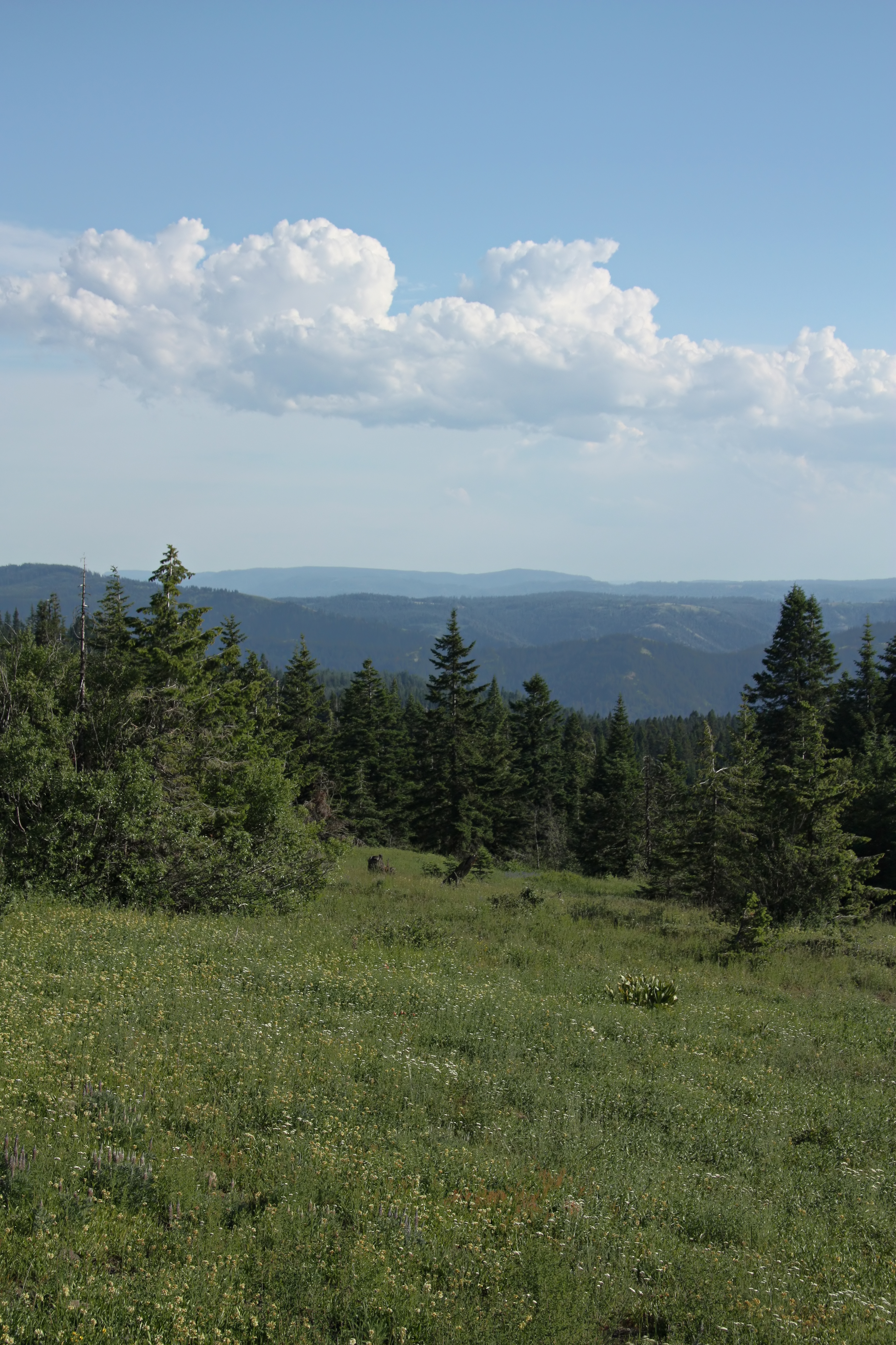
Blue Mountain View

Blue Mountain Pine

Summertime on the Walla Walla River

Blue Mountain Tarn

My current status
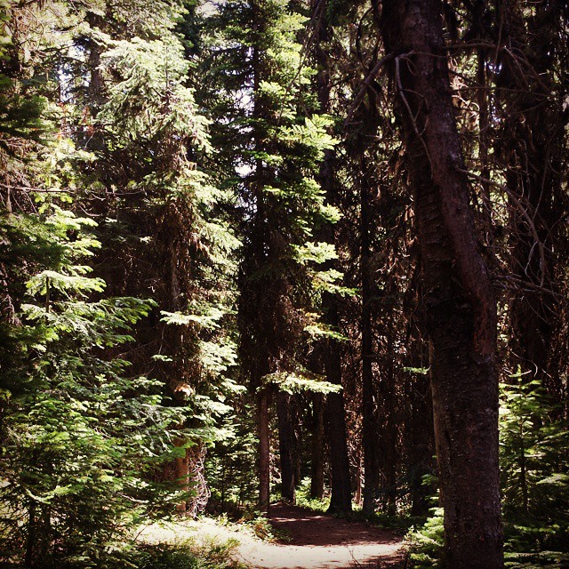
Smells like Christmas on this trail.

E. J. Haney Viewpoint
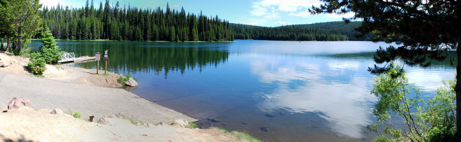
Jubilee Lake Boat Launch
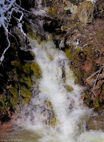
Waterfall on the Blue Mountain Pass - Oregon

Walla Walla River, monochrome

Hiking the south fork Walla Walla
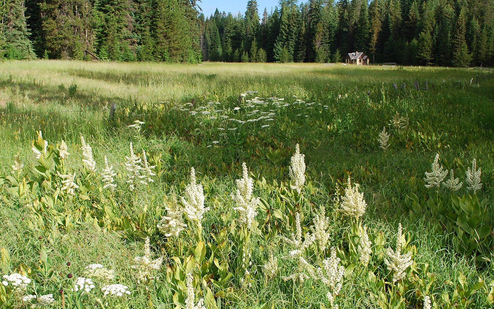
Fry Meadow Guard Station
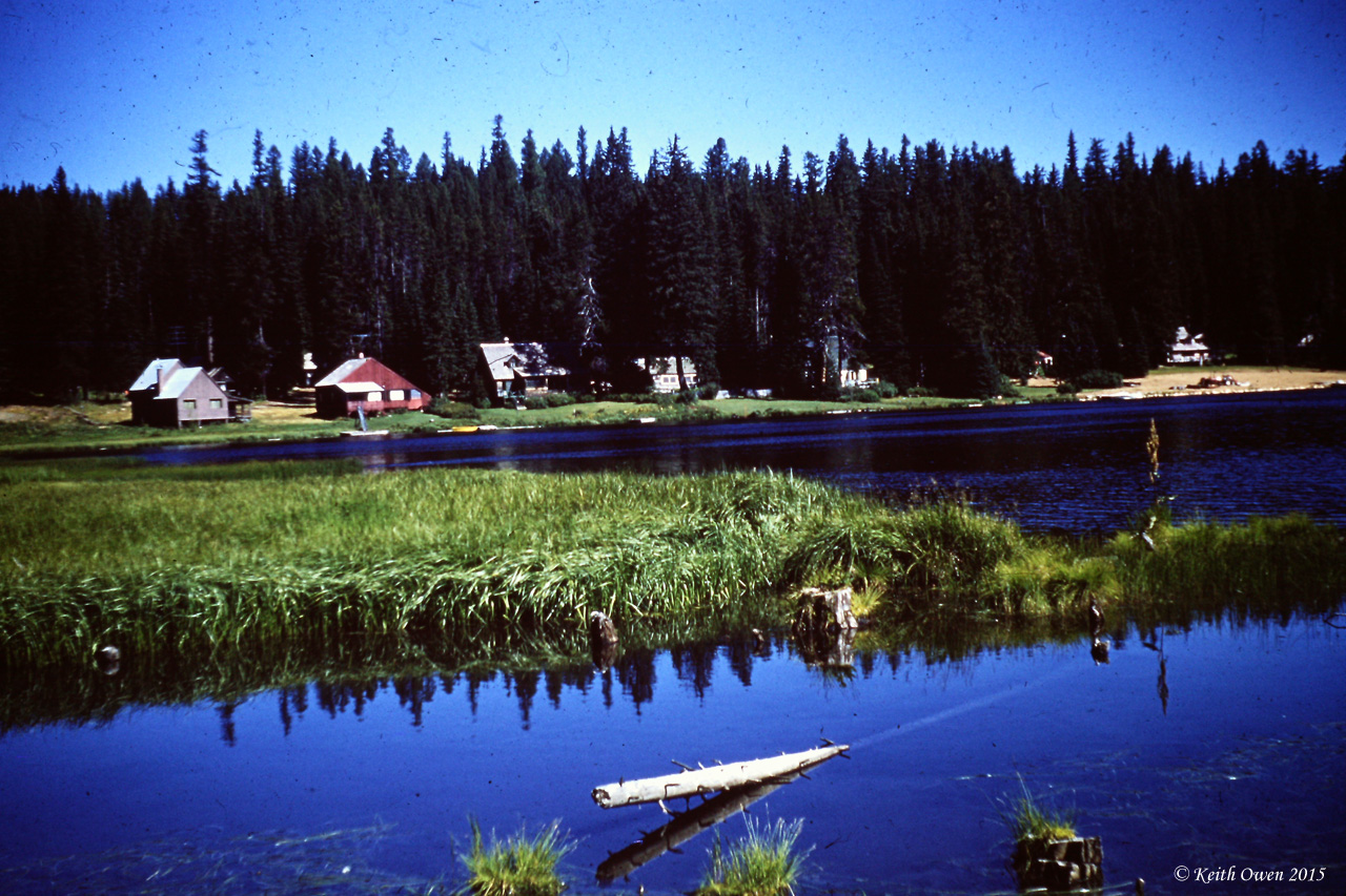
Langdon Lake
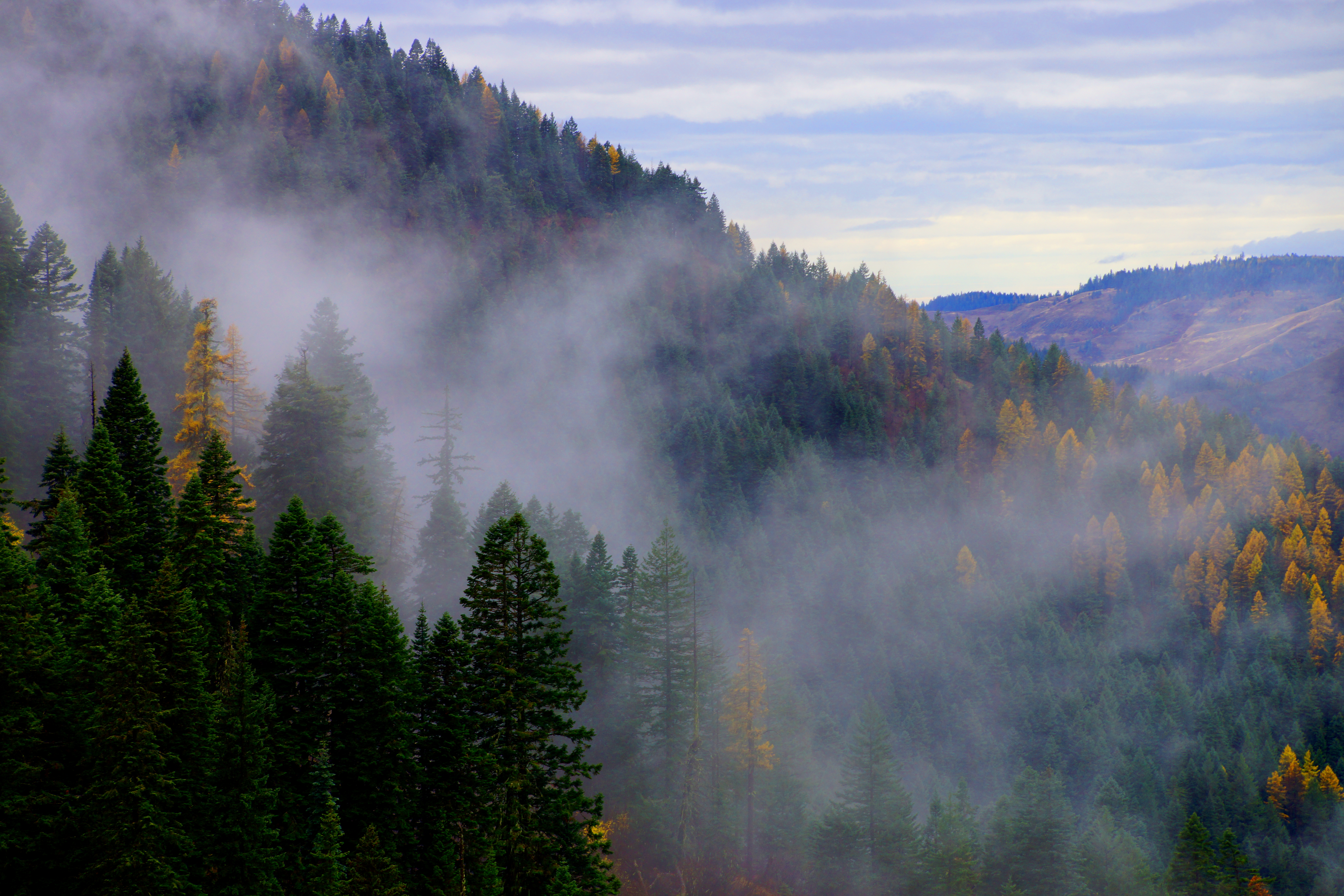
Fog Rolls In
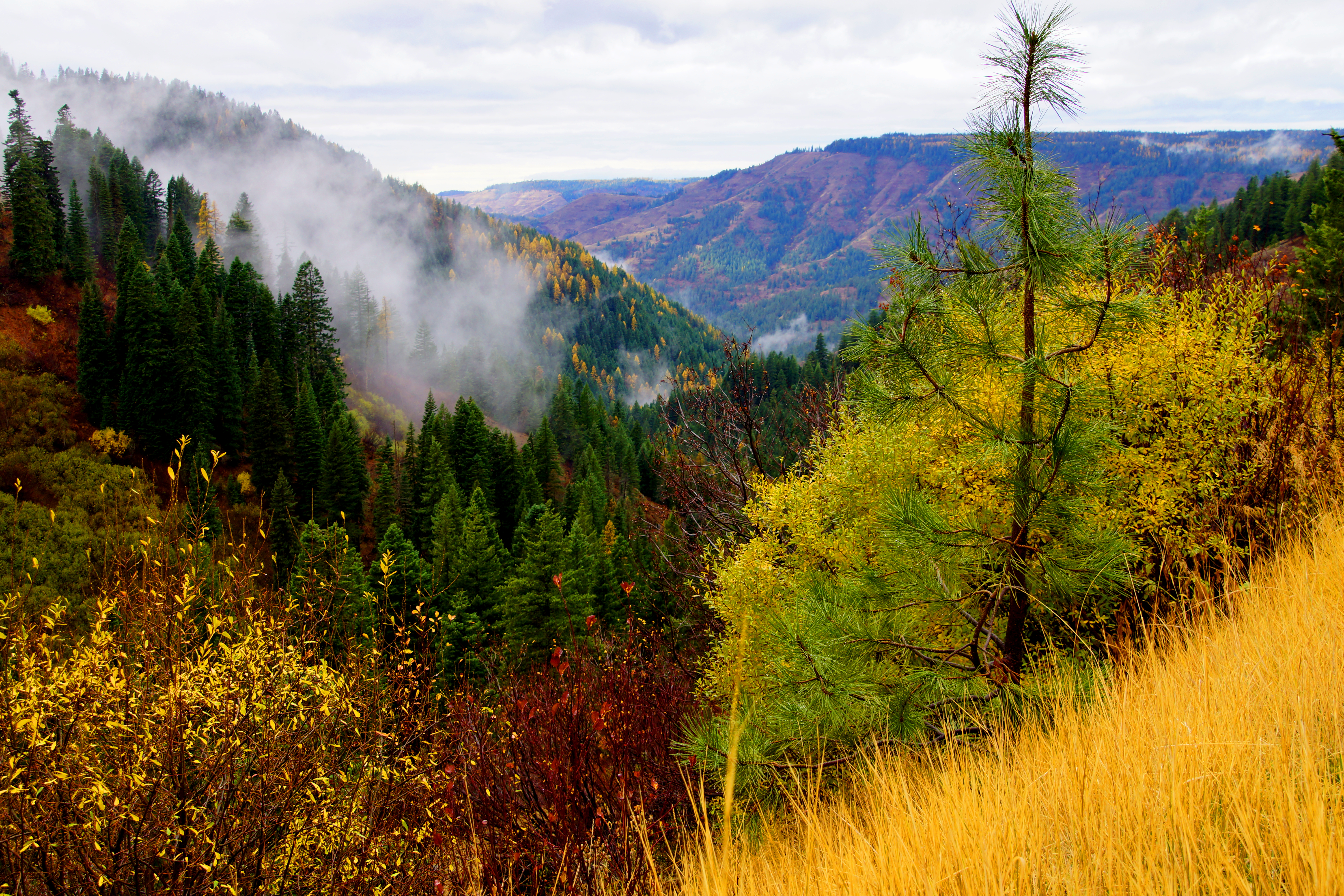
Mountain Fog

E. J. Haney Viewpoint
Topographic Map of Jubilee Lake, Oregon, USA
Find elevation by address:

Places near Jubilee Lake, Oregon, USA:
Tollgate
75381 Thompson Rd
61160 Mill Creek Rd
60818 Mill Creek Rd
74286 Thompson Rd
11634 Biscuit Ridge Rd
71368 Valley View Rd
242 Kooskooskie Rd
Kooskooskie Road
Scott Road
Elgin
7589 Lewis Peak Rd
5000 Lewis Peak Rd
Lewis Peak Road
Minam
Minam River
Jefferson St, Summerville, OR, USA
Imbler
100 Montgomery Ln
Maxville
Recent Searches:
- Elevation of Corso Fratelli Cairoli, 35, Macerata MC, Italy
- Elevation of Tallevast Rd, Sarasota, FL, USA
- Elevation of 4th St E, Sonoma, CA, USA
- Elevation of Black Hollow Rd, Pennsdale, PA, USA
- Elevation of Oakland Ave, Williamsport, PA, USA
- Elevation of Pedrógão Grande, Portugal
- Elevation of Klee Dr, Martinsburg, WV, USA
- Elevation of Via Roma, Pieranica CR, Italy
- Elevation of Tavkvetili Mountain, Georgia
- Elevation of Hartfords Bluff Cir, Mt Pleasant, SC, USA