Elevation of Union, OR, USA
Location: United States > Oregon > Union County >
Longitude: -117.86521
Latitude: 45.2084696
Elevation: 851m / 2792feet
Barometric Pressure: 92KPa
Elevation Map:
Satellite Map:
Related Photos:
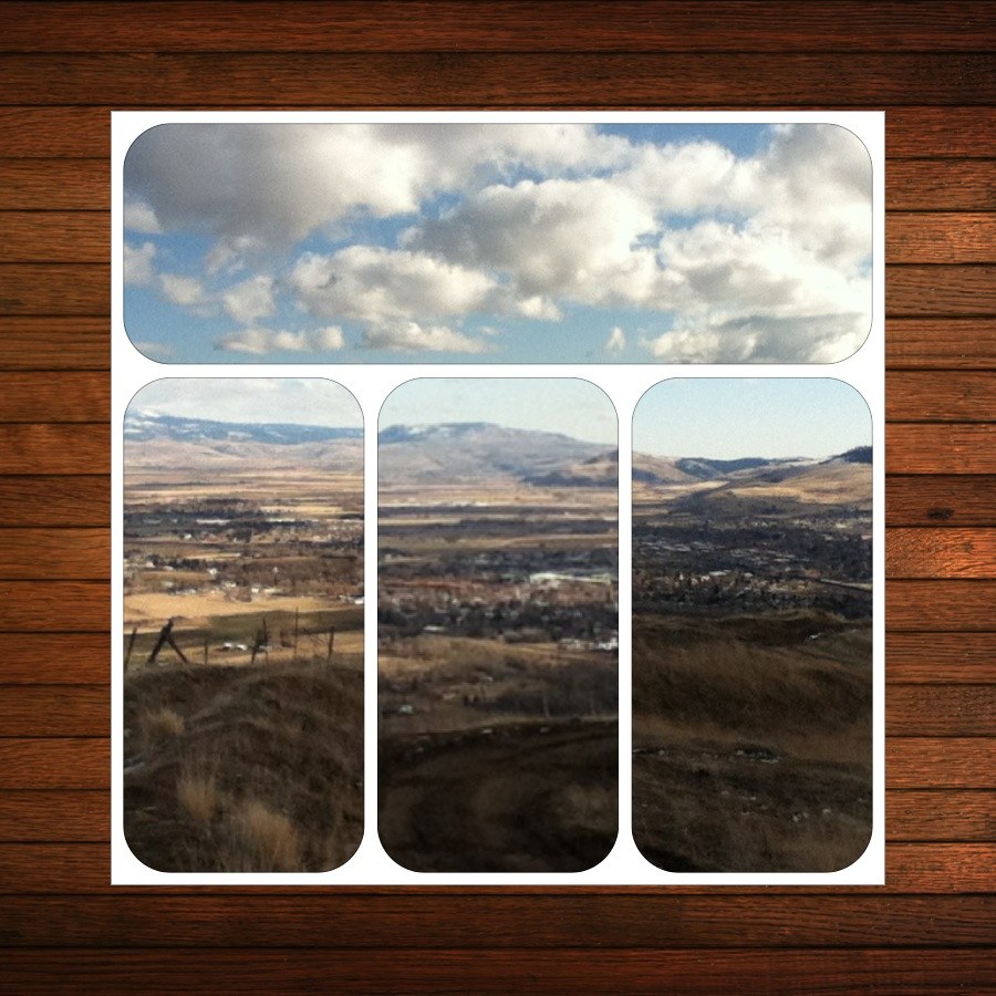
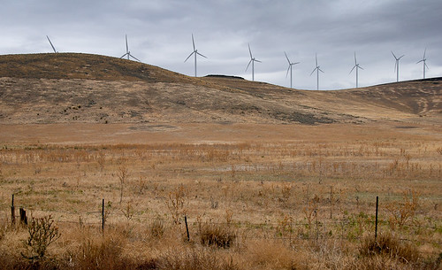
The grand view
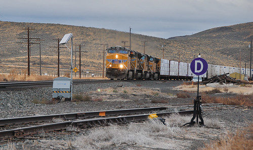
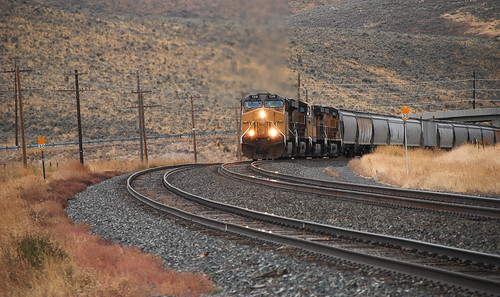
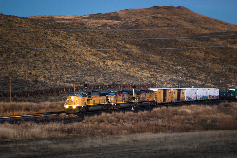
20091009_6124...Southbound at Telocaset

108 of 365 Hot Lake
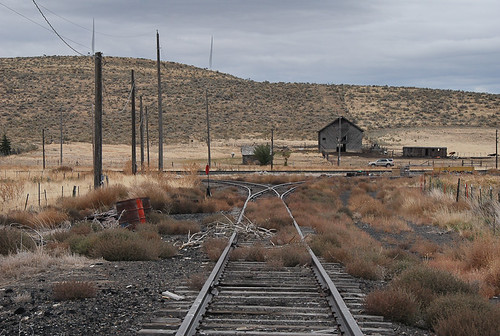
20091009_6029...Telocaset wye revenge shot
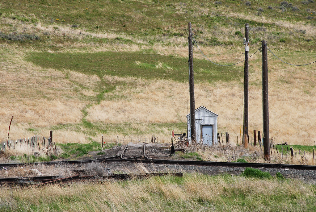
20090513_7279...Telocaset wye
20091009_6193...Electrical storm?

Letter U (Union, Oregon)
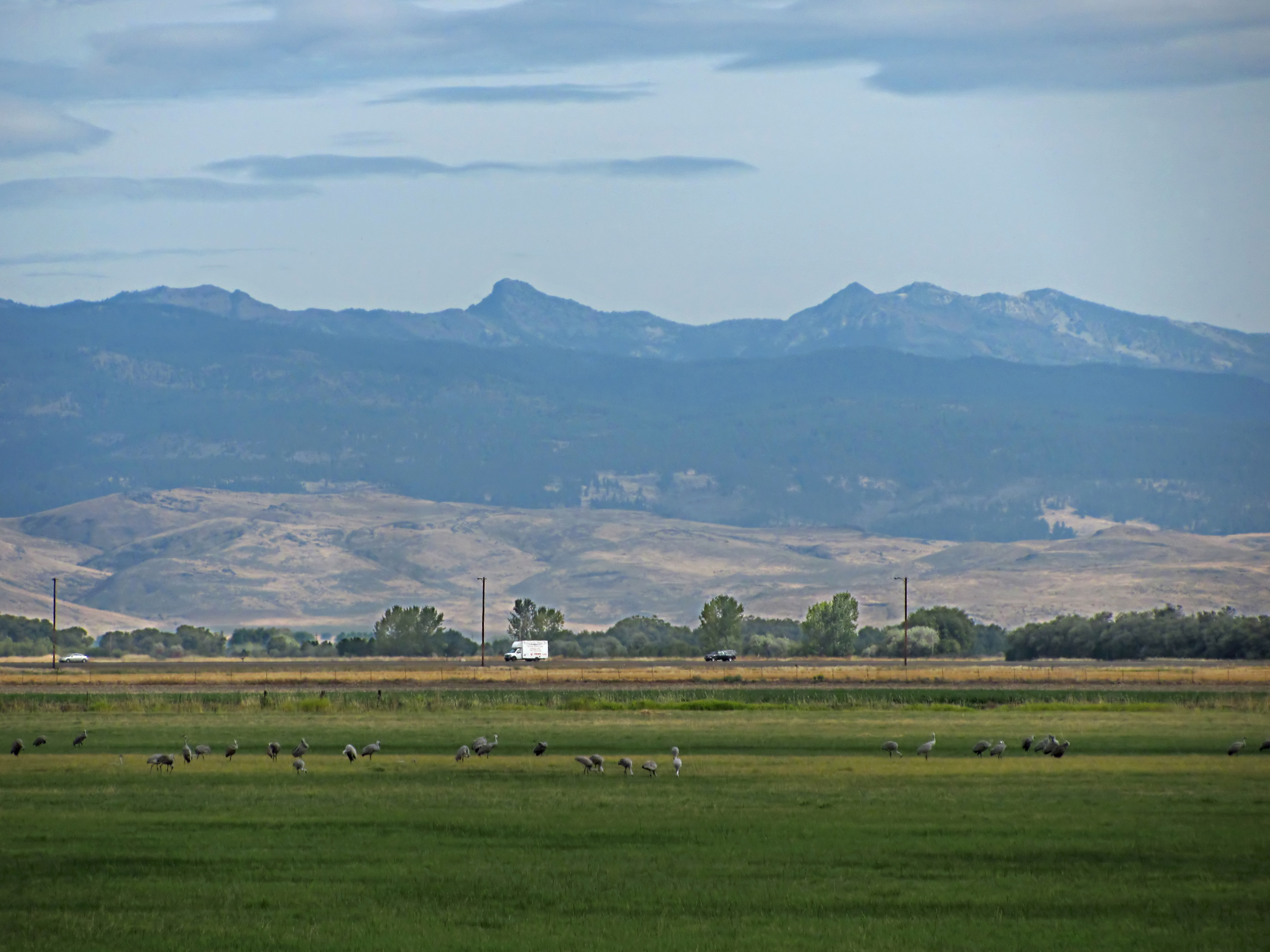
Sandhill cranes
Catherine Creek State Park Oregon
Mount Emily and Ladd Marsh

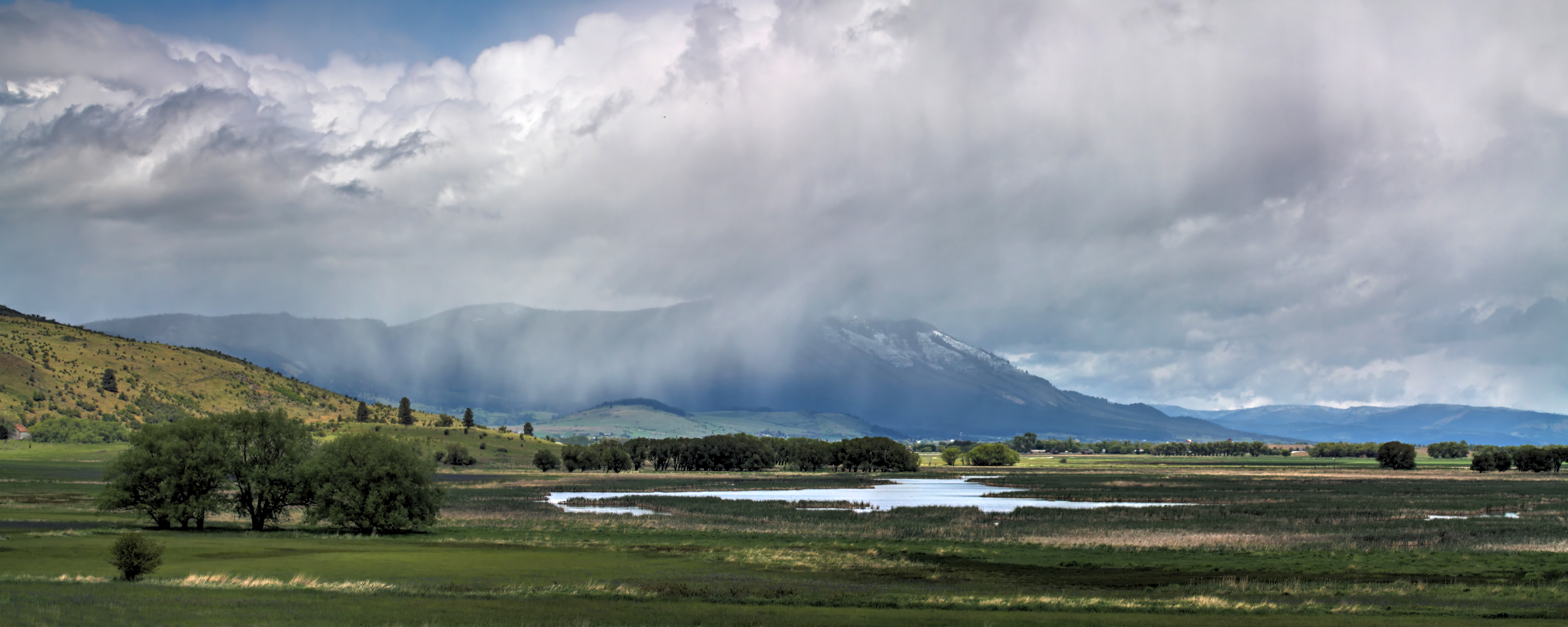
Rainbow over Ladd Marsh
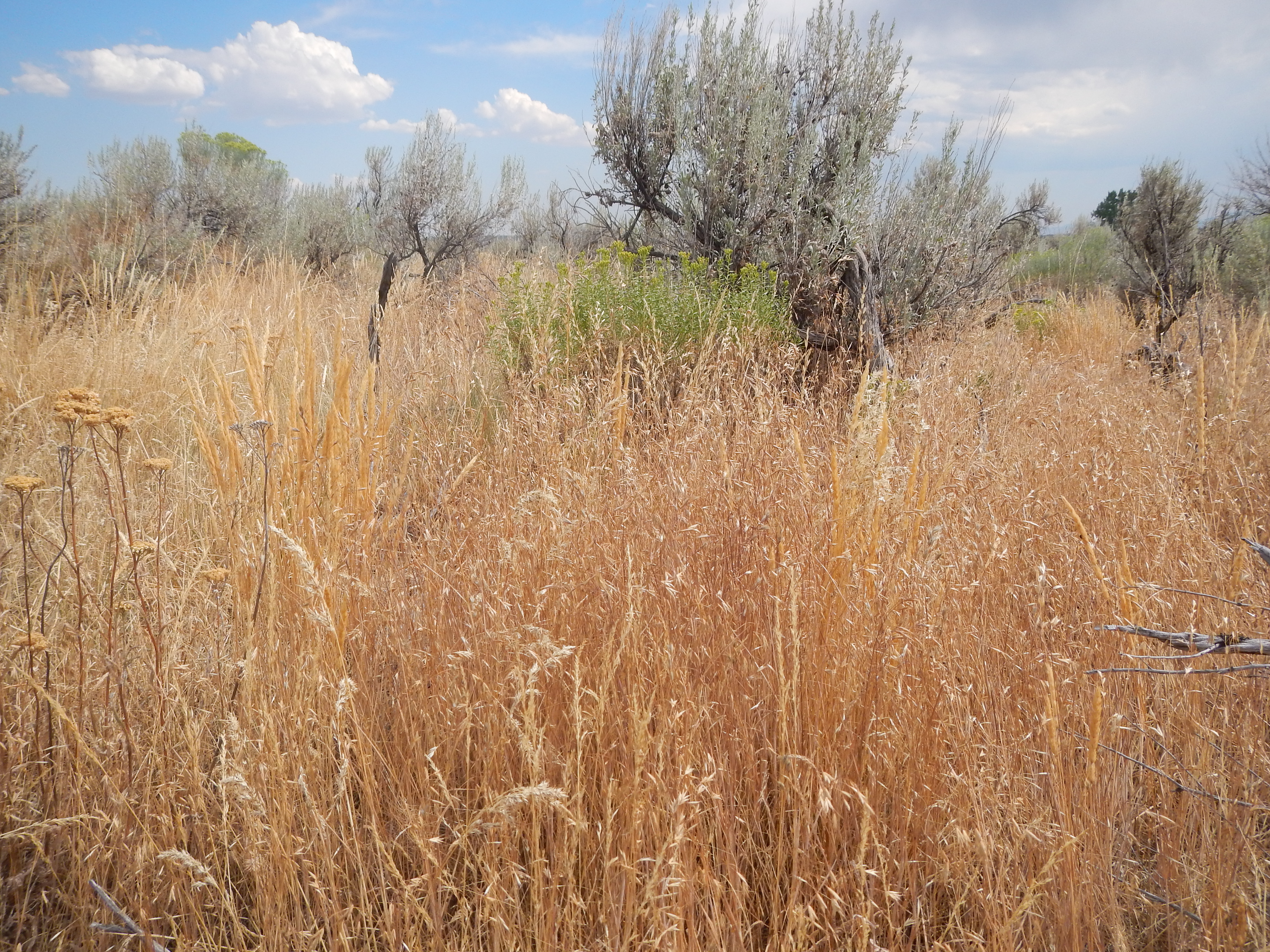
Vententata dubia in the sagebrush steppe north of Baker City, Oregon
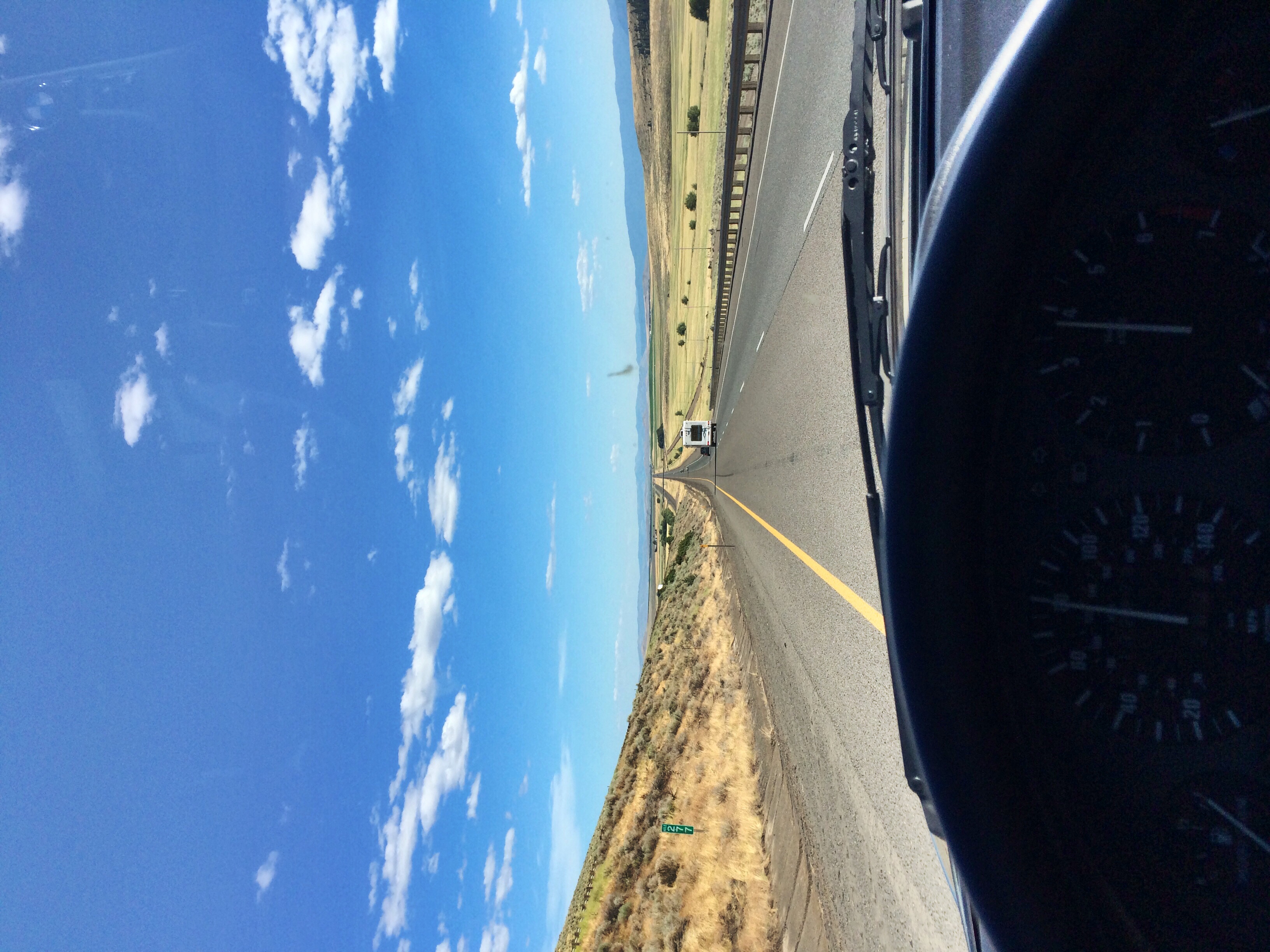
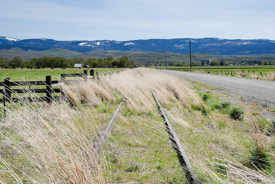
Straight and narrow
Cycle Oregon 2006 Day 5

Almost to the Top at Telocaset, OR

Sunset on Grasses

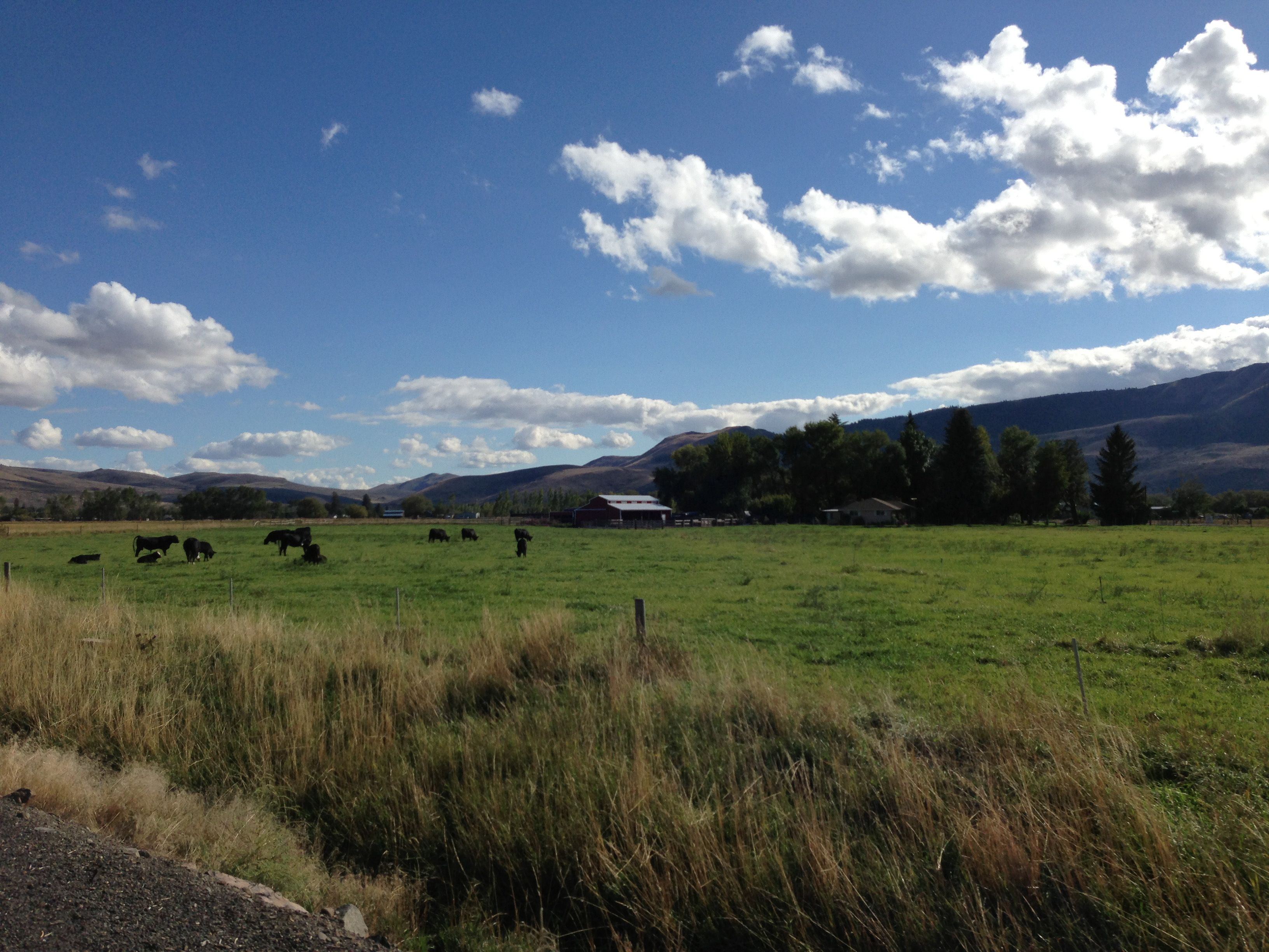
Barn & Elkhorns

Soggy Road

Fast Runner

RoadTrip-0288
2013 - Cross-Country
20091009_5883...Rounding the curve and about to crest the hill
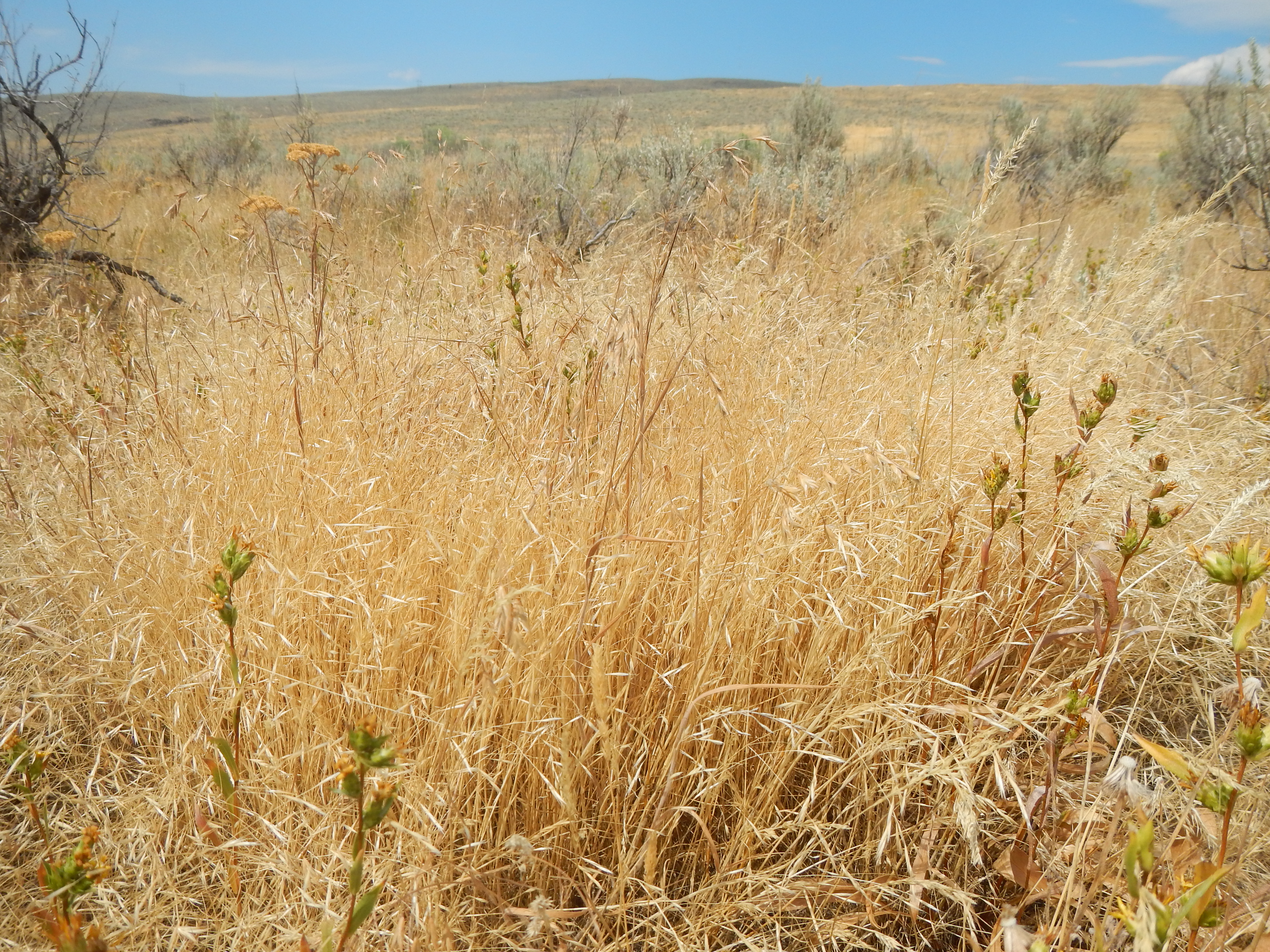
Vententata dubia in the sagebrush steppe north of Baker City, Oregon
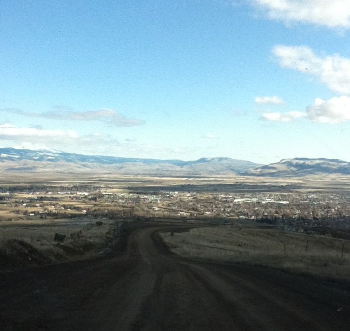
La Grande road trip
RoadTrip-0334
High-clearance rail cars required... 20090513_6908
It's Early
Topographic Map of Union, OR, USA
Find elevation by address:

Places near Union, OR, USA:
823 W Grande St
Pierce Rd, La Grande, OR, USA
La Grande
Union County
Highland Drive
2105 Leo Ln
Linda Lane
Lakeview Lane
Gemini Drive
Taurus Avenue
La Grande Rendezvous Rv Resort
1802 Gekeler Ln
Short Stop Food Mart
703 12th St
Blue Mountain Conference Center
Adams Ave, La Grande, OR, USA
La Grande
H Avenue
G Avenue
Adams Avenue
Recent Searches:
- Elevation of Gateway Blvd SE, Canton, OH, USA
- Elevation of East W.T. Harris Boulevard, E W.T. Harris Blvd, Charlotte, NC, USA
- Elevation of West Sugar Creek, Charlotte, NC, USA
- Elevation of Wayland, NY, USA
- Elevation of Steadfast Ct, Daphne, AL, USA
- Elevation of Lagasgasan, X+CQH, Tiaong, Quezon, Philippines
- Elevation of Rojo Ct, Atascadero, CA, USA
- Elevation of Flagstaff Drive, Flagstaff Dr, North Carolina, USA
- Elevation of Avery Ln, Lakeland, FL, USA
- Elevation of Woolwine, VA, USA